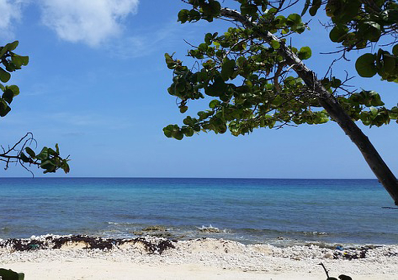
Cayman Brac is an island that is part of the Cayman Islands. It lies in the Caribbean Sea about 145 km (90 mi) north-east of Grand Cayman and 8 km (5.0 mi) east of Little Cayman. It is about 19 km (12 mi) long, with an average width of 2 km (1.2 mi). Its terrain is the most ,prominent of the three Cayman Islands due to “The Bluff”, a limestone outcrop that rises steadily along the length of the island up to 43 m (141 ft) above sea level at the eastern end. The island is named after this prominent feature, as “brac” is a Gaelic name for a bluff.
The Teignmouth Electron, the boat in which Donald Crowhurst attempted to sail round the world single-handed in the Sunday Times Golden Globe Race, has been left to decay on the south coast of Cayman Brac.
Access : Coordinates : 19.72, -79.8 To get there, you’ll first need to fly to Grand Cayman. Most major airlines offer convenient flights to Grand Cayman from North America and Europe. The National Airline of the Cayman Islands Cayman Airways is the best way to fly to, from, and within the Cayman Islands . Daily flights four to six times a day between the islands and allows passengers to connect with all of the airlines Express flights are 35-45 minutes, and may include a brief stop in Little Cayman.
Highlights :
- Diving : Of interest to scuba divers is a 100 m (330 ft) Russian Koni class frigate built in the Soviet Union in 1984 for the Cuban Navy. It is one of only a few sunken Soviet naval vessels in the Western Hemisphere, and the only one that is easily dived.
The Koni II class frigate was purchased and sunk by the Cayman Islands government in September 1996. Originally designated 356, the frigate was rechristened the M/V Captain Keith Tibbetts, after a well-known Cayman Brac politician. The wreck is the only
Russian warship that divers can explore in the Western hemisphere. It originally sat upright at a depth of 27 m (89 ft) with the deck at 18 m (59 ft), until wave action generated by a winter Norwester storm (December 1998-January 1999) which nearly tore the ship in two. The result was that the fore section tipped to about a 45 degree angle in relation
to the remainder of the still-upright aft portion. and the midships became a debris field. The wreck’s stern area was essentially unaffected. The frigate is located in a sandy area with generally good visibility, 200 m (660 ft) offshore
(a fairly long swim) from ‘Buccaneer’, on the island’s north side, near the western tip of the island. There are numerous openings in the upper portion of the ship for non-wreck certified divers. Many more openings are available since the ship broke in half.
The site also serves as an artificial reef. Other interesting dive sites are Radar Reef, Cemetery Wall, and the Wilderness Wall, all well covered in corals and with a wide diversity of marine life. - Caves : Cayman Brac also appeals to visitors of many persuasions besides divers. Caves are found around the island, offering spelunkers a glimpse of delicate underground formations. Steps and, in some cases, ladders have been constructed to allow visitor access to more remote caves. One cave, Rebecca’s Cave, contains the grave of a young girl lost in a struggle against the ravages of the great 1932 Cuba hurricane, and it is a Cayman National Heritage Site.
- Rock climbing : Rock climbing was developed beginning in 1992 and the island now contains about 100 sport climbs. Trad and multipitch climbs are rare. Walking and hiking trails : Walking and hiking trails have been opened by the Nature Tourism Programme which allow exploration of the island’s dense Karst forestation. Unique flora and fauna thrive here and can be observed in the wild. Fishing : Cayman Brac’s waters are especially utilized for both fishing and the pursuit of big game fish.

