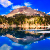
Bolivia is an untouched natural paradise. The alpine scenery, the jungle, the salt flats, etc. Bolivia’s stunning nature and unique folklore culture make it one of the most visited country among backpackers. Major cities are generally crammed full of backpackers who come for a cheaper stay than elsewhere in South America. Kunturiri is a mountain in the Cordillera Real of Bolivia, about 5,648 metres (18,530 ft) high. It is also the name of the whole massif. Kunturiri is located in the La Paz Department, Los Andes Province, Pukarani Municipality, southeast of Chachakumani and northwest of Huayna Potosí.
The central part of the Kunturiri group is formed by three peaks which resemble a condor with wings spread: the Kunturiri itself, also called Cabeza de Condor (Spanish for “head of the condor”) (5,648 metres (18,530 ft), Ala Izquierda (“left wing”), Ala Norte (“north wing”) (5,532 metres (18,150 ft), the Kunturiri west peak and Ala Derecha (“right wing”) or Ala Sur (“south wing”) (5,482 metres (17,986 ft). Kuchillu Khunu (Aymara kuchillu knife (from Spanish cuchillo), khunu snow,( “knife snow”) is the name of the peak south of the “head of the condor” at 16°10′47″S 68°14′50″W.
Other peaks in the Kunturiri massif are Pico Reya 5,495 metres (18,028 ft), Qallwani (5,492 metres (18,018 ft) 2 km north of Kunturiri, Wintanani (5,428 metres (17,808 ft ), Pico Eslovenia (5,381 metres (17,654 ft ), Pequeño Alpamayo (5,370 metres (17,618 ft), Pico Medio 5,355 metres (17,569 ft), Ilusión (5,330 metres (17,487 ft), Aguja Negra (5,290 metres (17,356 ft), Jist’aña (5,260 metres (17,257 ft), Diente (5,200 metres (17,060 ft), Ilusioncita (5,150 metres (16,896 ft), Tarija (5,060 metres (16,601 ft) and Titicaca (4,968 metres (16,299 ft). The Spanish names of the peaks do not occur in the maps of the Bolivian IGM (Instituto Geográfico Militar).
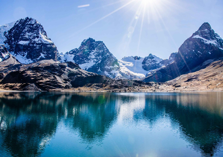
Info : Location Bolivia, La Paz , Attractions : Panoramic views, Glacier, Lagoon, National Park , Duration 3 hours or less , Requirement 2.5 hours , Trail Always Clear , Non-existent Signaling , Infrastructure Shelter (s) Topology Return and Return by the same route ,De-levels +218, -45 (± 263) Distance (k) 5.2 (round trip) Average height 4595 , Coordinates: -16.168333, -68.242778
CONDORIRI – LAGUNA CHIAR KHOTA : This area is very popular with adventure lovers and especially those who love hiking . is a fantastic trek amongst the Mountain Range. It is not a dificult trek and can be achieved by most people without any problems. For those wishing to get a little higher and condition themselves for harder treks/climbs there is an option to climb Pico Austria 5270m.