

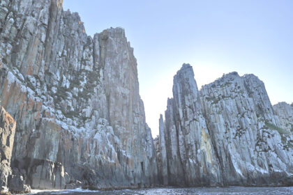
Ball’s Pyramid is an uninhabited rocky island , located approximately 600 kilometers east of mainland Australia in the Tasman Sea.
The rocky island was discovered in 1788 by the British naval officer Henry Lidgbird Ball while sighting the much larger neighboring Lord Howe Island. The first ascent of the rock took place on February 14, 1965 by an Australian rope team from Sydney. Climbing on Ball’s Pyramid has been prohibited since 1982.
Externally, the island resembles a sail or a pyramid. Bols Pyramid is the tallest volcanic cliff on Earth.The pyramid, along with the other islets of Lord Howe Island, is included in a protected marine park inscribed on the UNESCO World Heritage List.
Access : Coordinates: -31.754167, 159.251667 / Ball’s Pyramid is located in the Tasman Sea, twenty-four kilometers southeast of Lord Howe Island.
Highlights :
- Ball’s pyramid is in the form of a bare rocky peak culminating at an altitude of 562 meters, with a width of approximately 300 meters, making it the highest volcanic stack in the world.
- Climbing was prohibited in 1982 with a relevant act, while access to the island has been prohibited since 1986. In 1990, however, the restrictions became less strict, allowing a certain number of people to climb, but only after permission from the competent authorities.
- Administratively, the island is governed by the local government of Lord Howe Island.
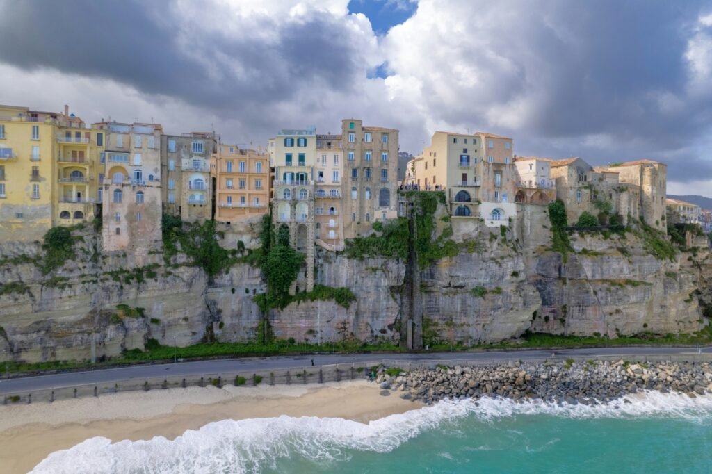
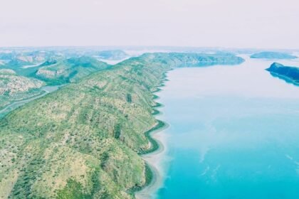
Go next : Lord Howe Island , a volcanic remnant in the Tasman Sea between Australia and New Zealand, part of the Australian state of New South Wales.


