The Haines Highway or Haines Cut-Off ( “Grease Trail” ) is a highway that connects Haines, Alaska, in the United States.
Haines Highway It follows the old Dalton Trail for 180 km, including 72 km through Alaska, The total length of the route is 246 km.
The first 71 km go through the territory of the United States, then the route crosses the border and passes through the territory of the Canadian province of British Columbia up to 146 km, the rest of the route passes through the territory of the Yukon. At the end, the route adjoins km 1579 of the Alaska Highway. The route passes through various provincial and national parks, including British Columbia’s Tatshenshini-Alsek Wilderness Provincial Park, the Alaska Chilkat Bald Eagle Preserve, Canada National Park and the Kluane UNESCO World Heritage Site.
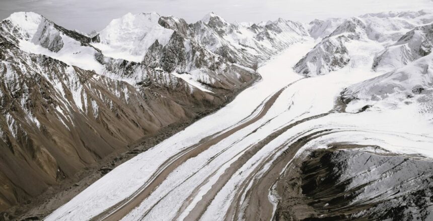
This place attracts everyone who wants to enjoy beautiful views and relax in nature , traveling along this Scenic Highway the mesmerising landscapes offers numerus of photo opps.
Access : Coordinates: South end : Alaska Marine Highway in Haines / North end : Hwy 1 (Alaska Highway) in Haines Junction, YT


