The Top of the World Highway (part of Alaska Route 9) is a highway located in the state of Alaska, United States.
The highway begins in the west at the Taylor Highway in Jack Wade and heads east to the West Dawson ferry terminal in Yukon, Canada. The highway is 275 km (171 mi) long
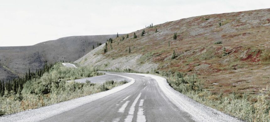
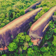
Its name comes from the fact that it is located at altitude, with distant views of the valleys on either side. It is also one of the northernmost routes on the American continent.
The entire highway is closed between September and May due to snow conditions.
The Top of the World route passes mainly through picturesque mountains with breathtaking landscapes , a real photographer’s paradise.
Access : Coordinates: West end: AK-5 (Taylor Highway) near Jack Wade, AK / East end :To Hwy 2 at the West Dawson ferry terminal


