
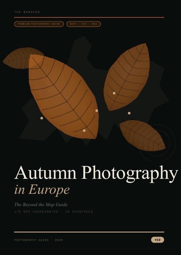
The continent photographs itself in October. The question is whether you are in the right place at the right time with the right intelligence.
Between the last week of September and the third week of October, Europe undergoes a colour transformation that the summer green was hiding. The beech forests of the Belgian Ardennes turn copper. The larch trees of the Dolomites — gold against the white limestone peaks — produce a colour combination that exists nowhere else in the Alps. The Transfăgărășan road in Romania, its 800 curves visible from above, runs through a forest that in the first week of October becomes one of the most extraordinary drone subjects on the continent. The Soča Valley in Slovenia, the emerald river at its most saturated in the cold October water, sits below beech slopes that turn in the second week of October and remain extraordinary through the end of the month.
This guide covers that territory. Twenty countries. One hundred confirmed photo locations. One hundred and seventy-five GPS coordinates. The foliage calendar. The specific best week for every region. The exact dawn positions, the light windows and the camera settings that make the difference between the image everyone takes and the image the location is capable of producing.
Why this guide is different from the photography articles
The Beyond the Map article archive covers many of these locations individually. This guide adds what individual articles cannot provide in isolation: the sequence, the cross-country comparison, the specific technical intelligence, and the honest editorial assessment that ranks the locations by photographic quality rather than by fame.
Some alpine destinations in October is extraordinary. from the east shore before the tourist coaches arrive, with the village reflected in the Hallstätter See and the Dachstein in first light above it, is a completely different proposition. The guide tells you exactly where that position is, what time to arrive, and what to set the camera to. The location is on every photography list. The position, the time and the technical approach are in this guide.
Fourteen sections — what the guide contains
Section 1 — Introduction The best autumn weeks by region — 20 countries with specific date ranges and ★★★★★ ratings. The planning sequence from foliage calendar to GPS download. How to use the guide in the field.
Section 2 — Photography Planning The three fundamental autumn subjects — foliage colour, water reflections and misty valleys — each documented with the specific technical approach: colour temperature, aperture, the polarising filter decision, the specific exposure compensation for mist (the camera underexposes by 0.7–1.3 stops; the mist should appear white, not grey). The gear guide for autumn travel. Drone regulations country by country.
Section 3 — Europe Overview The master map layer with five densest photography regions identified. The complete foliage calendar: country by country, elevation by elevation, specific key locations with peak weeks confirmed.
Sections 4–7 — Regional Destination Guides The heart of the guide — every significant autumn photography location in the four regional groupings documented with GPS, best week, light window, crowd factor and the specific composition the location produces.
Western Europe: The Alsace wine route and its five essential villages — Kaysersberg, Riquewihr, Ribeauvillé, Eguisheim, Obernai — each with the dawn position and the October colour week. The Bavarian Alps: Josefsthaler Waterfalls (the upstream cascades that most photographers never reach), Hintersee Lake, Eibsee. Belgium and Luxembourg: the Müllerthal cascade, the Semois meander, Vianden Castle from the river.
Alpine Europe: Switzerland — Oeschinen Lake above Kandersteg, the Pontresina larch forest, Lake Brienz. Austria — Hallstatt, Gosausee, Weissensee (the cleanest lake in Europe, almost entirely unknown outside Austria). The Dolomites — the complete guide to Tre Cime di Lavaredo, Alpe di Siusi, Cinque Torri, Lago di Carezza and Seceda in the first two weeks of October when the larch is gold.
Central Europe: Bohemian Switzerland and the Pravčická brána natural arch. Šumava National Park. Poland’s Bieszczady mountains — the most overlooked autumn photography in Central Europe — and Białowieża, the last primary forest in the European lowlands. Slovakia’s Janošíkove diery gorge system.
Balkans: The complete Soča Valley guide — fifteen photography positions documented individually, from the Napoleon Bridge dawn position (arrive 30 minutes before sunrise in October for the mist) to the Kozjak waterfall grotto (photographable only between 11:00 and 14:00). Lake Bled and Bohinj with the five Bled viewpoints and the three Bohinj positions. Croatia’s Plitvice Lakes in the specific best week (October 8–18). Romania’s Transfăgărășan and Transalpina. The Albanian Alps in Valbona.
Section 8 — Hidden Gems Fifty secret autumn locations the photography tours don’t reach — each with two GPS coordinates (the primary position and the secondary position not in any article), best week, crowd factor and the specific shot the location produces. Organised across five regions including ten Scandinavian extensions: Bondhusvatnet glacier lake in Norway, Låtefossen waterfall, the Lofoten birch.
Section 9 — Photography Locations Twenty-five best sunrise positions across the 20 countries, each with GPS, arrival time and the specific reason it is extraordinary in October. Twenty-five sunset positions. Twenty-five drone locations with regulation notes. Every entry cross-references to the GPS Atlas.
Section 10 — Road Trips Three itineraries designed specifically for photographers — not sightseeing routes but sequences built around the dawn positions, the noon light windows and the sunset timings:
7-Day Alps and Dolomites: Bavaria → Salzkammergut → Swiss Bernese Oberland → Dolomites → Slovenian Julian Alps → Soča Valley. All GPS-referenced. Every dawn position confirmed.
14-Day Europe Circuit: Alsace → Bavaria → Dolomites → Slovenia → Croatia → Romania. Two countries, two to three days each.
30-Day Ultimate Expedition: Norway (Hardanger birch and Bondhusvatnet) → Germany → Alsace → Swiss Alps → Austrian Salzkammergut → Dolomites → Slovenian Alps → Soča Valley → Plitvice → Romania → Rhodopes Bulgaria → Albanian Alps. The complete autumn photography arc across the continent.
Section 11 — Photography Portfolio The editorial ranking: best European lakes for autumn reflection photography (Hallstatt, Pragser Wildsee, Oeschinen, Bohinj, Gosausee in the top five), with the technical explanation of what makes a lake reflective in October. Best forests. Best mountain views combining colour and peak.
Section 12 — GPS Atlas One hundred confirmed photo locations in a two-column reference database organised by region. Twenty-five sunrise spots (SR01–SR25). Twenty-five sunset spots (SS01–SS25). Twenty-five drone locations (DR01–DR25). All ID codes cross-reference throughout the guide. All GPS in a legible deep gold that reads on the off-white pages.
Section 13 — Bonuses Four downloadable files included: the KML map layer for Google Maps (175 coordinates, four colour-coded layers); the GPX Photography Pack (three routes — Alps circuit, Balkans circuit, complete 30-day expedition); the Photography Checklist PDF (golden hour times by country for September and October, site-specific technical notes); the Editing Workflow Guide (the specific post-processing approach for foliage colour, water reflections and mist).
Section 14 — Beyond the Map Exclusive The top ten autumn photographs in Europe, ranked by photographic opportunity rather than location fame. The 50 hidden gems with expanded editorial depth. The route planner framework: the five-step planning sequence from defining your peak week to loading the GPS before entering remote areas.
The honest commercial argument for September and October
Most European photography guides cover the same twenty locations with the same advice. This guide covers one hundred, including fifty that don’t appear in the standard guide. The guide’s editorial position is simple: the locations that produce the most extraordinary autumn photographs in Europe are not always the most famous ones. The Semois River meander in Belgium — the full October colour visible from above, the meander visible as a loop from the plateau — is photographically extraordinary and almost entirely without photographic coverage in English. The Weissensee in Carinthia, Austria — certified as the cleanest lake in Europe, accessible, extraordinary in reflection — is virtually unknown outside Austria. The Bieszczady mountains in southeast Poland peak in late September and produce dawn photography conditions that rival the Alps, at a fraction of the crowd density.
The guide makes the same argument for the famous locations: the difference between the standard visit and the extraordinary photograph is almost always timing. Hallstatt with the tourist coaches at 10:00 and Hallstatt at dawn in October when the village is reflected in the lake and no one else is at the east shore position are not the same experience or the same image.
Format and delivery
Pages:      94 · A5 portrait · PDF · fonts embedded
Price:      €19 · one-time purchase

INCLUDED DOWNLOADS:
thewanders-autumn-photography-europe.kml
  175 GPS coordinates · 4 colour-coded layers
  RED: photo locations · GOLD: sunrise
  ORANGE: sunset · BLUE: drone

autumn-photo-01-alps-dolomites.gpx
  28 waypoints · 7-day Alps + Dolomites circuit

autumn-photo-02-balkans-east.gpx
  24 waypoints · 14-day Balkans circuit

autumn-photo-03-complete-30day.gpx
  42 waypoints · 30-day complete expedition

Photography Checklist PDF
  Site-specific timing · golden hour by country

Editing Workflow Guide PDF
  Foliage · reflections · mist processing

Delivery:   Immediate download on payment
Edition:    2026 · English
Territory:  20 European countries ·
            Sept · Oct · Nov




Reviews
There are no reviews yet.