
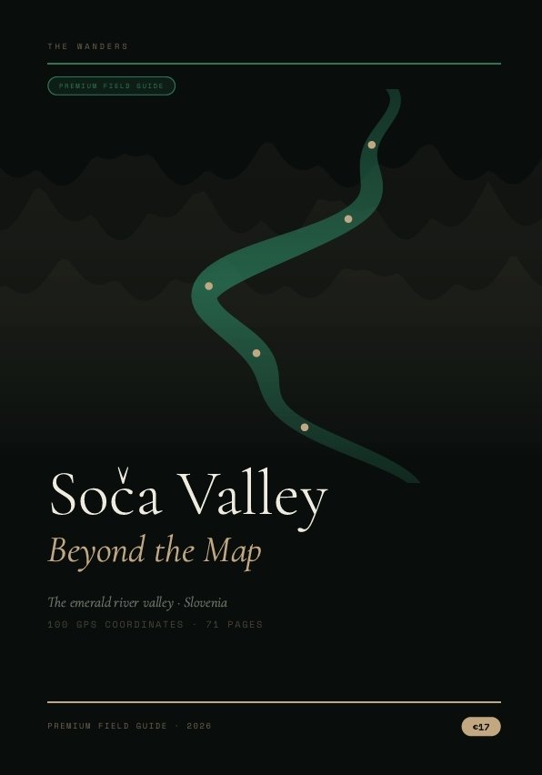
The emerald river valley that rewards depth over a checklist.
The Soča River rises at 876m in the Julian Alps of northwestern Slovenia, runs 138km through the most concentrated collection of extraordinary natural features in the eastern Alps, and enters the Adriatic near Monfalcone as the Isonzo. The colour — the turquoise-emerald that photographers have been chasing for decades — is the result of the limestone geology, the glacial meltwater and the specific light of the Julian Alps. It is not a filter. It looks like that.
Within 40km of the valley between Bovec and Tolmin: the Boka waterfall (106m, the most powerful in Slovenia), the Kozjak tributary waterfall inside a natural grotto, the Velika and Mala Korita river canyons, the Tolmin Gorges, the Virje waterfall cascade series, the Napoleon Bridge, the Mangart Saddle road at 2,072m (the highest road-accessible point in Slovenia) and the Vršič Pass with its 50 hairpins and its Russian Chapel at hairpin 8. No comparable concentration of extraordinary natural features exists within a similar radius anywhere in the Alps.
This guide covers all of it.
What makes this guide different from the articles
The Wanders article catalogue covers the Soča Valley in individual published pieces. This guide adds what the articles cannot contain in isolation: the correct sequence, the specific timing, the GPS coordinates that make every site findable, and the honest practical intelligence that the difference between the right morning and the wrong afternoon produces.
The Kozjak waterfall grotto is photographable between 11:00 and 14:00 when the light enters from directly above. Before and after that window it is in shadow. The Boka waterfall is most photogenic in the morning — by 14:00 it is in shadow. The Napoleon Bridge dawn in September, when the mist sits in the valley, produces an image that cannot be replicated at any other time of year. The guide gives you that specific intelligence for every site.
Fourteen sections — the complete guide
Section 1 — Welcome to the Soča Valley Why the colour is real and what produces it. How to use the guide. The honest case for September as the most rewarding month.
Section 2 — Planning The honest seasonal assessment — six seasons rated
Section 3 — The Map Layer Overview of the 100-coordinate GPS database organised in 8 colour-coded layers.
Section 4 — The Soča River The river source — a karst spring at 876m at the end of a 1-hour walk, the water cold and already extraordinary.
Section 5 — The Seven Wonders Every waterfall and canyon in the valley documented in full:
Velika Korita ★★★★★ – Detailed informations ,including gps coordinates
Mala Korita ★★★★★ – Detailed informations ,including gps coordinates
Kozjak Waterfall ★★★★★ – Detailed informations ,including gps coordinates
Boka Waterfall ★★★★★ — Detailed informations ,including gps coordinates
Virje Waterfall ★★★★★ — Detailed informations ,including gps coordinates
Tolmin Gorges ★★★★★ — Detailed informations ,including gps coordinates
Mangart Saddle ★★★★★ — Detailed informations ,including gps coordinates
Section 6 — Hidden Places Five secret viewpoints not in the standard tourist circuit
Section 7 — Walks and Hikes Easy walks including the complete Soča Trail
Section 8 — Photography Guide Five best sunrise positions with GPS and arrival times.
Section 9 — Scenic Drives Three drives documented in full with key stops and vehicle notes:
Mangart Saddle Road — 12km, 14 hairpins, 1,000m elevation gain. Vehicle restriction confirmed (no motorhomes). Entry fee. Three key stops with GPS.
Vršič Pass Route — 25km, 50 hairpins, 1,611m summit. The Russian Chapel at hairpin 8 — the memorial to several hundred POWs who died in the March 1916 avalanche. All vehicles. Seasonal closure mid-October.
Trenta Valley Drive — 22km, the complete upper valley from the Vršič south to Bovec. All stops: river source trailhead, Trenta Museum, Velika Korita, Šunik Water Grove, Bovec arrival.
Sections 10-13 cover camping logistics (five campsites with GPS, the Hiša Franko fine dining note — book 2-3 months ahead — mountain huts), the WWI Kobarid historical route, and three complete itineraries: the Perfect Weekend (2 days), the Explorer Route (3-4 days) and the Ultimate Soča Adventure (5-7 days), all timed stop by stop with GPS at every point.
Section 14 — GPS Database and Bonus Pack 100 confirmed GPS coordinates in 8 categories. Three GPX route files: the perfect weekend circuit, the full valley circuit and the photographers’ route (dawn positions first, then the midday sites, then sunset). The complete photography checklist with golden hour times for September and October, site-specific camera settings and the pre-dawn kit list.
September — the correct month
The guide states this directly. The water is still warm (17-19°C), the morning mist is at its most consistent, the autumn colour is beginning above 1,500m, the crowds have dropped dramatically from August and the photography light in the valley is the most extraordinary of the year. The emerald colour of the river is actually most saturated in autumn and winter when the water is coldest and the suspended particle count is lowest. September combines warm water with the most intense river colour of the year. October adds the forest colour on the banks.
Format and delivery
Pages:     60 · A5 portrait · PDF · fonts embedded
Price:     €17 · one-time purchase
Includes:  3 GPX route files
           100-coordinate KML file (importable)
           Photography checklist PDF
Delivery:  Immediate download on payment
Edition:   2026 · English
Territory: Soča Valley · Slovenia · Julian Alps
Also from The Wanders Beyond the Map series
Hidden Europe Map — 250 extraordinary places · €29 Istria Beyond the Map — Regional Field Guide · €14 Albanian Riviera — Field Guide · €12 Overland & Campervan Balkans — Flagship · €24 Autumn in the Balkans — Seasonal Guide · €19 Europe in Autumn — The Beyond the Map Guide · €14 Tbilisi Beyond the Map — City Guide · €9 São Miguel Azores Field Guide · €12


Reviews
There are no reviews yet.