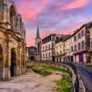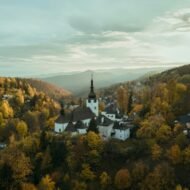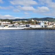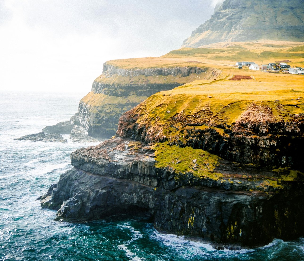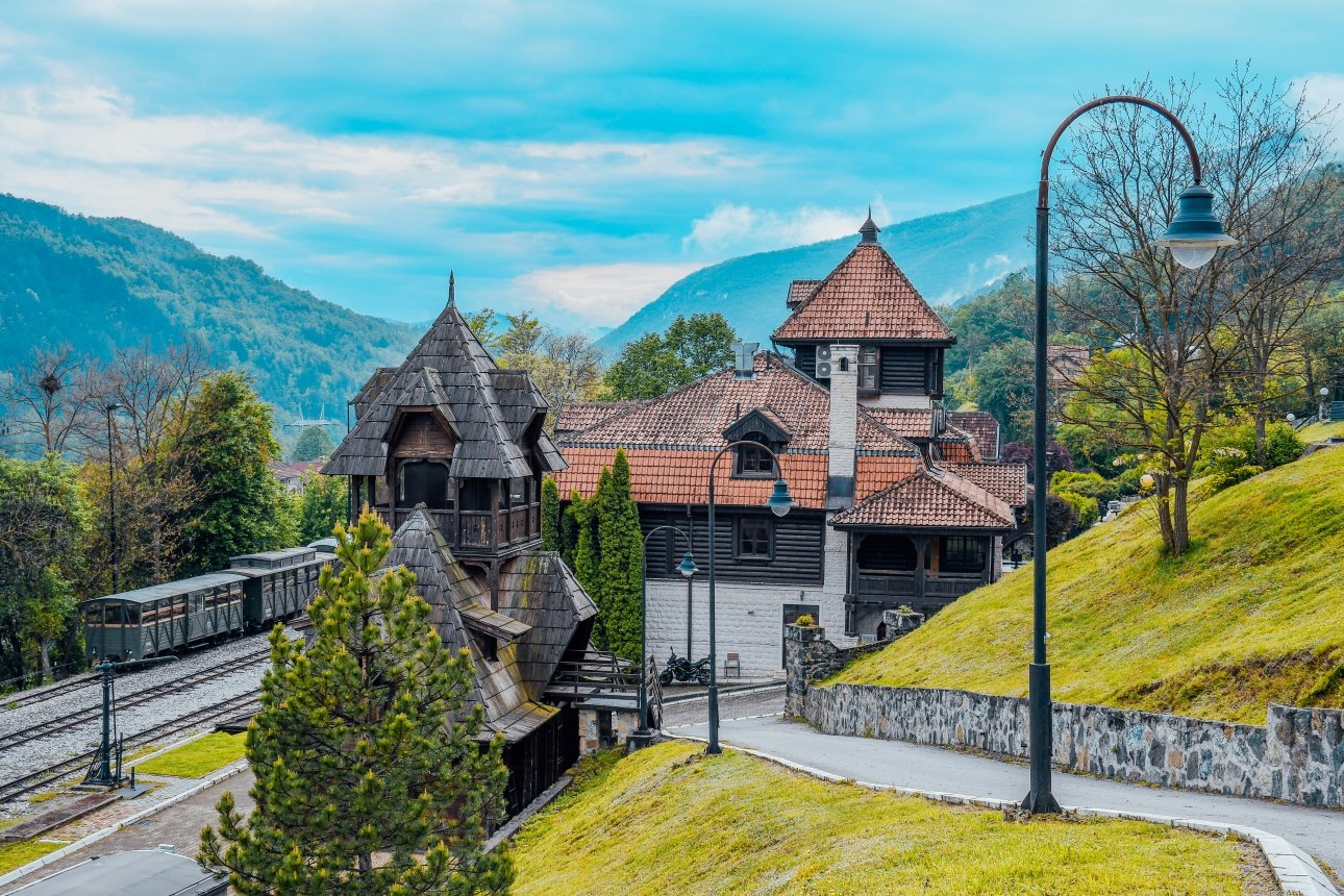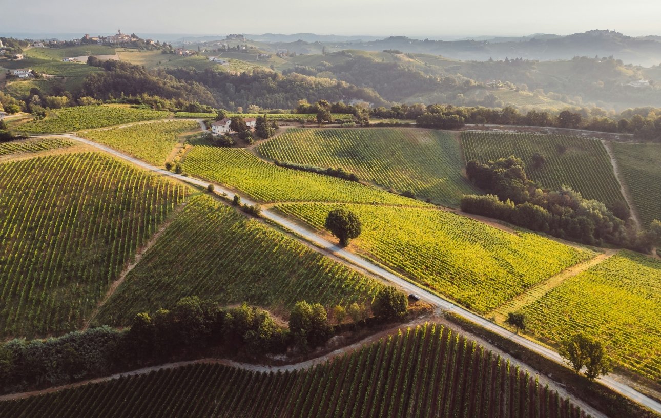
Breb, Romania · Lukomir, Bosnia · Špania Dolina, Slovakia · Koprivshtitsa, Bulgaria · Miravet, Spain
There is a specific kind of village that the travel industry finds difficult to process. It is not ruined enough to be a ghost town. It is not quaint enough to be a day trip from a capital. It has no cable car, no Michelin star, no event that generates social media traffic. It simply exists — at altitude, or down a gravel track, or in a mountain valley that the main road bypasses — with a coherence and a specific quality of life that most of Europe quietly abandoned in the second half of the twentieth century.
These five villages are not on the standard itinerary. Three of them have almost no English-language coverage at all. One of them is accessible by road for only six months of the year. One of them has been named an architectural reserve precisely because the buildings are so well-preserved that the state stepped in to prevent anyone changing them.
All of them are reachable by an ordinary car, in an ordinary week, by a traveller who is willing to accept that the road surface will deteriorate in the last few kilometres and that the restaurant may not have a menu in English.
That is the correct trade.
01. Breb, Maramureș, Romania
The last village in Europe where horse carts outnumber cars on a Tuesday morning
GPS: 47.7234°N · 23.9678°E Best season: May–June (haymaking) · October (colour and All Saints) Nearest town: Ocna Șugatag, 8km
There is a saying in Romania that the country begins where the asphalt ends. In Maramureș, a highland county in the northwest that borders Ukraine, this is not a metaphor. Breb sits on dirt lanes that were not surfaced until recently — and even now, the lanes that count run between the wooden gates and the plum orchards without tarmac.
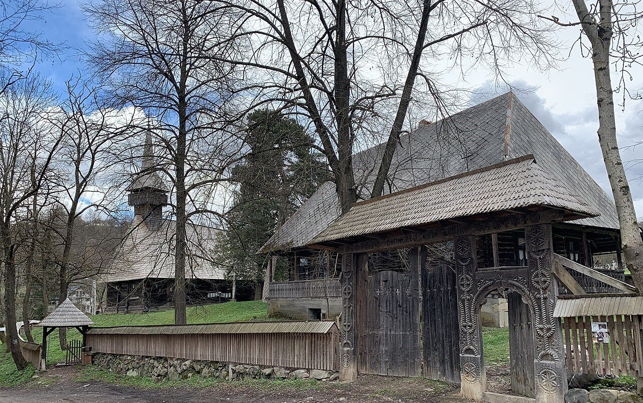
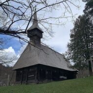
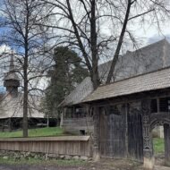
The wooden gates are the first thing visitors notice. Carved from oak, each one is different — the motifs record the family’s history, the rope-of-life pattern that signals continuity, the sun wheel, the fir tree that stands for eternal life. They are the size of barn doors, and they open onto yards where chickens operate freely and where the smell of tuică — the local plum brandy distilled in October — comes from the shed at the back.
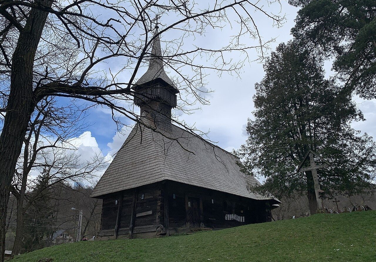
Romanian villagers in Maramureș still use horse-drawn carts, coffin-shaped with rubber wheels. During the haymaking season, hay is still made by hand, cut with scythes, turned using home-made wooden pitchforks, draped over wooden railings to dry, and formed into lanky haystacks around timber posts. This is not a living museum. The people using the scythes are not performing for visitors. They are making hay because this is how hay is made in Breb.
In Breb, you will find traditions, culture, costumes and the country way of life as perfectly preserved as they are anywhere. Time really has stood still here but it is catching up, and the traditional way of life won’t last much longer.
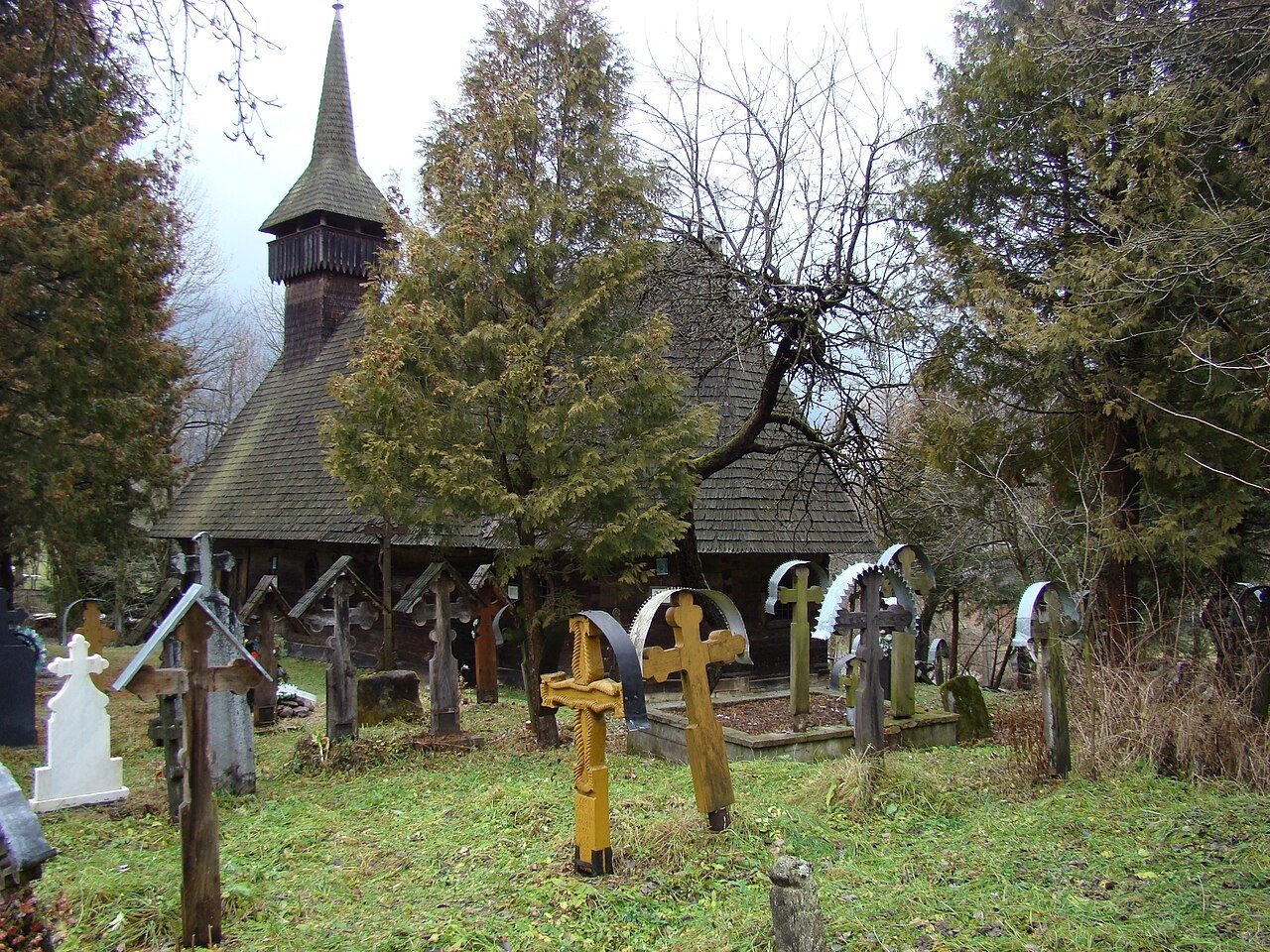
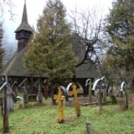
The specific thing to arrive for — in October, on a Sunday morning — is the church.Maramureș is the land of wood, and the wooden churches here have tall and slim towers, a roof in two levels covered with shingles, reminding of the first churches built by the Christian Vikings. The congregation arrives in traditional dress. The men’s coats, the women’s embroidered blouses. The service is in Romanian. The graveyard beside the church has crosses carved in the same style as the gates.
On 1 November, All Saints Day, the cemeteries across the entire Maramureș region are lit by candles. Every grave. The entire plateau glowing. It is, without question, the most atmospheric single evening in rural Europe.
What you find here: the last functioning horse-cart economy in the EU. The wooden gate tradition. October colour in the plum orchards. The All Saints candlelight.
What to plan: farm stay accommodation is available in Breb — book through local guesthouses rather than any platform. Bring cash. No ATM in the village.
02. Lukomir, Bosnia and Herzegovina
The highest village in the Balkans, accessible by road for six months of the year
GPS: 43.6334°N · 18.1823°E Best season: June–September (accessible by road) · winter (snowshoe access only) Nearest town: Konjic, 30km · Sarajevo, 50km
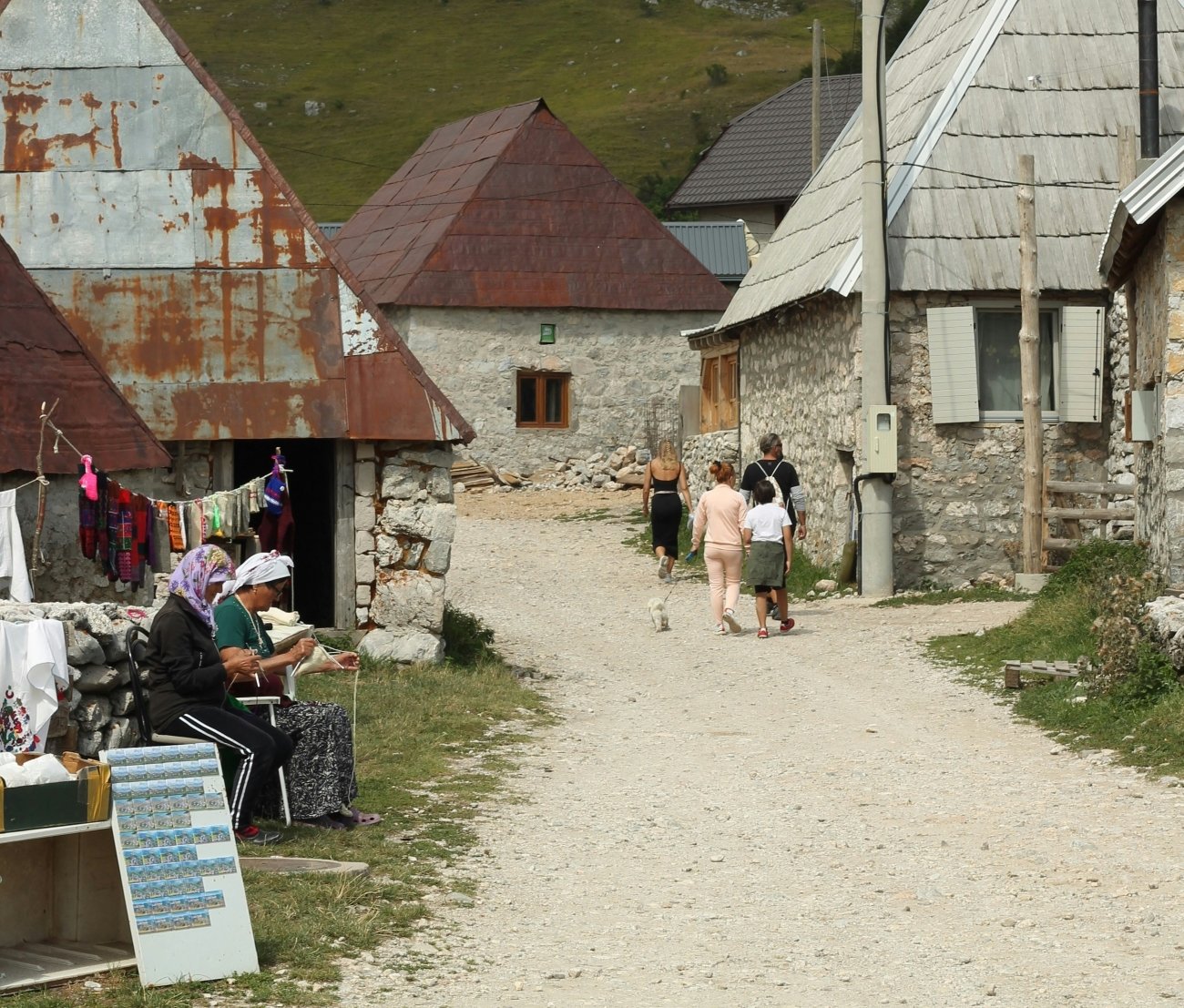
Lukomir sits at an altitude of 1,495 metres on Bjelašnica mountain, approximately 50 kilometres from the national capital Sarajevo. It is the highest and most remote village in Bosnia and Herzegovina. As of the last census, thirteen people are registered as permanent residents. Seventeen families return every summer from the settlements near Sarajevo, bringing their sheep back up the mountain as soon as the first spring growth shows.
By late autumn, the road to Lukomir becomes a memory, disappearing altogether under several metres of snow, cutting off access until May when the icy mountain thaws. The most isolated village in Bosnia and Herzegovina springs back into life as the warmer months arrive — sheep jangle bells on the ridgelines, smoke curls from stone chimneys, and you get the sense that you have stumbled into a chapter of history that time almost forgot.
The houses are the specific thing. Lukomir has unique stone homes with cherry-wood roof tiles. The house has a square base with a fireplace in the centre. Walls are made of stone and have small windows. The stećci — medieval Bosnian tombstones from the 14th and 15th centuries — are in the graveyard at the edge of the village, carved with the motifs that characterised Bosnian medieval culture before the Ottoman period entirely replaced it. No one fully understands the stećci. The symbols are specific and the people who made them are gone.
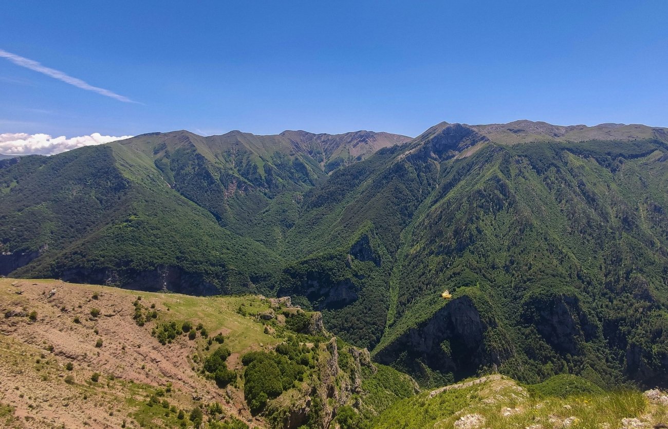
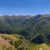
Step beyond the last house on the southern edge of the village and the ground drops into the Rakitnica Canyon — one of the deepest river canyons in Bosnia, almost entirely without tourist infrastructure, entirely without other people if you arrive in September.
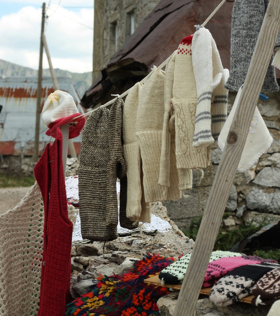
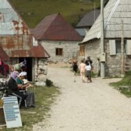
There is a special atmosphere in Lukomir created by scenes of elderly residents in traditional costumes who welcome guests in front of their stone houses. Families drink coffee together in the courtyards, while above the village the mountains and the sky seem to merge into one.
The last 11km of the approach road is gravel. The drive from Sarajevo takes approximately 90 minutes. The village is open from approximately May to December, depending on the year’s first snowfall.
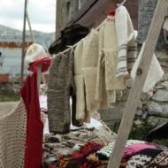
What you find here: the highest inhabited village in the Balkans. Medieval stećci tombstones. The Rakitnica Canyon. The women in traditional dress selling knitted socks by the path.
What to plan: no accommodation in the village itself — day visit from Sarajevo or Konjic. Guided tours from Sarajevo available (Meet Bosnia Tours, referenced by several operators). Alternatively, walk up from Umoljani village — 2 hours, moderate.
03. Špania Dolina, Slovakia
The copper metropolis of medieval Europe, now a monument reserve with fewer than 400 residents
GPS: 48.8075°N · 19.1339°E Best season: May–October Nearest town: Banská Bystrica, 10km
Špania Dolina lies in the southern part of the Low Tatra Mountains close to Banská Bystrica in central Slovakia, 782 metres above sea level. The exact date for the birth of the village is not known but copper ore was mined here long before Christ. Such was the wealth and quality of its natural resources that in the medieval times, the place became known as the copper metropolis of Europe.
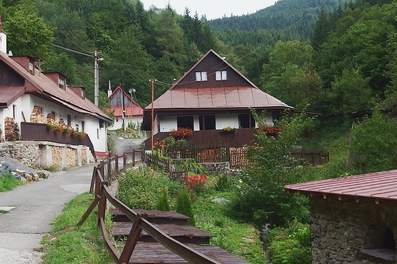
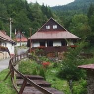
To attract German settlers to develop the mining of precious metals in the area, mainly copper, Hungarian King Béla IV granted the settlement town privileges in 1242. The families, called Waldbürgers, who built their houses around the town square, owned the mines. The Germans stayed for several centuries. The architecture they left behind — the miners’ houses with their wooden upper floors on stone foundations, their lime-washed walls, their shingle roofs — is the character of the village today.
The former mining village is undoubtedly one of the most beautiful in Slovakia. Along with the walled structures once owned by the mining administration, a substantial part of local architecture is formed by houses of miners mostly built of logs on stone foundations. The tall tower of the church of Conversion of the Lord built on Romanesque foundations dominates the wonderful panorama.
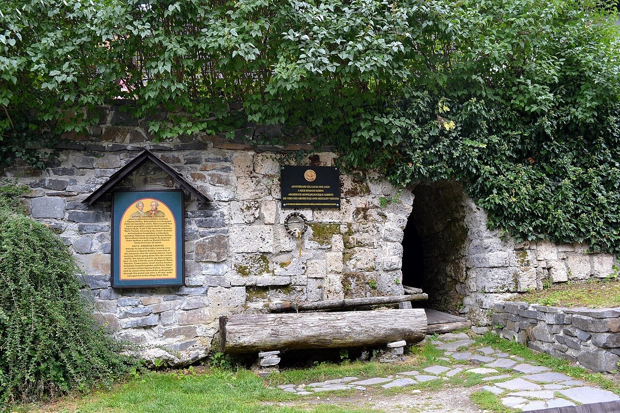
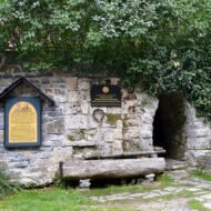
The main monument is the klopačka — the facility used for calling miners to work. This historical structure standing in the centre of the commune served for 600 years. It still stands. It is a small wooden tower on a stone base, and it produced a knocking sound by which the shift change was announced across the mountain. The mines that justified it closed long ago. The klopačka is still there in the square, which is what happens to structures that were important enough to become landmarks before anyone decided to protect them.
The specific surprise of Špania Dolina is the scale of the surrounding landscape. The village sits in a valley of the Staré Hory mountains with the Low Tatras above it, and the trails from the village connect to two national parks. Most visitors from Banská Bystrica come for the afternoon and return. The valley deserves a morning walk before the bus arrives.
Špania Dolina is now a monument reserve of popular architecture, with a unique set of miner houses built of wood and stone. The designation is the reason the village looks the way it does — no one can change the buildings, which means they remain in the state they were in when someone decided they were worth protecting.
What you find here: medieval copper-mining heritage. The klopačka in the square. 15th-century miner’s house with museum. The church on 160 steps above the village.
What to plan: bus from Banská Bystrica, 30 minutes, €0.70. No need for a car but a car opens the Veľká Fatra national park hiking from here. Day visit is entirely sufficient, overnight unnecessary unless you are hiking.
04. Koprivshtitsa, Bulgaria
The village that sparked a revolution — and whose 18th-century centre remains intact because of it
GPS: 42.6345°N · 24.3456°E Best season: April–June · September–October Nearest town: Plovdiv, 100km · Sofia, 110km
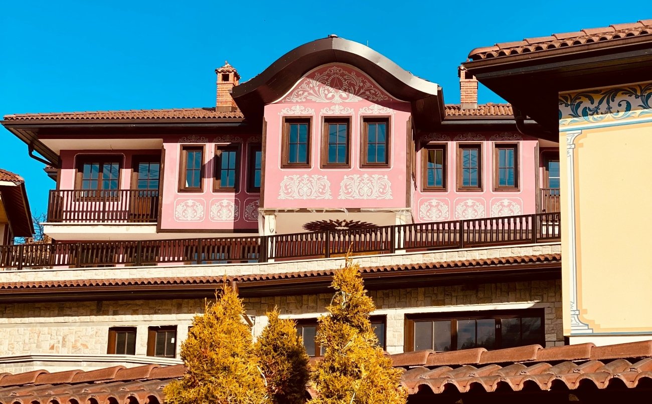
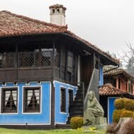
Most Bulgarian villages were systematically modernised during the communist period. The replacement of traditional wooden and stone houses with Soviet-era concrete blocks happened across the country with the efficiency of a policy. Koprivshtitsa escaped this because the buildings had already been designated national monuments before the communists arrived — they were the setting for the April Uprising of 1876, the Bulgarian revolt against Ottoman rule that failed militarily but generated the international sympathy that eventually produced Bulgarian independence.
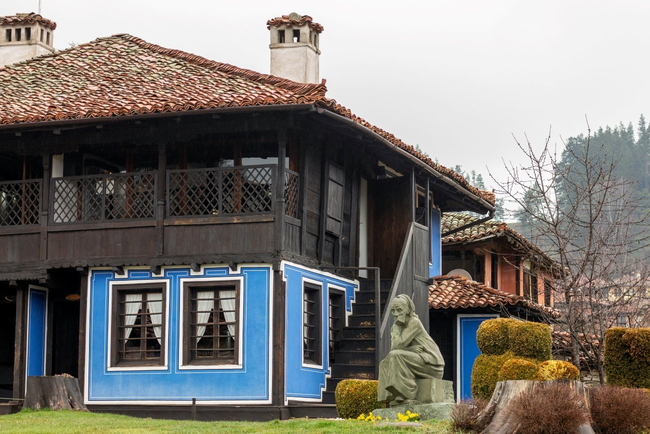
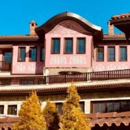
The result is a village of 6 museum houses, 383 architectural monuments, and a centre that looks today approximately as it looked in the 1870s. Two-storey Revival houses with bay windows and carved wooden ceilings. Stone bridges over the Topolnitsa River. The church where the uprising was announced. The house where the first shot was fired.
The April Uprising is serious history. The Ottoman response — the massacre at Batak, the burning of villages — generated the international news coverage that prompted Russia to declare war on the Ottoman Empire on Bulgaria’s behalf. The village that sparked it is now maintained as a monument to the people who died in it, which means the architecture has been preserved to a standard that no purely tourist motivation would achieve.
The best time to arrive is October. The crowds that come in summer for the National Revival period events have gone. The horse chestnut trees along the river are turning. The museum houses open at 09:00 and in October you may be the only visitor in some of them. The carved wooden ceilings of the Oslekov House and the frescoed walls of the Kableshkov House are better examined without a tour group.
What you find here: 383 architectural monuments in a single village. Six museum houses. The April Uprising history. The most intact Bulgarian Revival centre in the country.
What to plan: train from Sofia (2h) or Plovdiv (2h). Museum houses open 09:00–17:30, Monday closed. Combined ticket for all six museum houses: approximately €5. Accommodation in the village is limited — the guesthouses that exist are small and book up in summer.
05. Miravet, Catalonia, Spain
The last Templar castle in Europe, on a bend of the Ebro River that has not changed since the 12th century
GPS: 41.0330°N · 0.6000°E Best season: March–June · September–November Nearest town: Tortosa, 25km · Tarragona, 80km · Barcelona, 2h
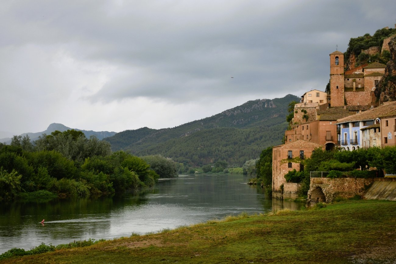
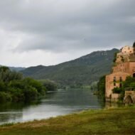
The most useful thing to know about arriving in Miravet is this: the best way in is by boat. Not because the road is poor — it is perfectly serviceable — but because the traditional river crossing, a flat-bottomed ferry that has been operating on the Ebro without an engine for centuries, delivers you directly to the village square with the Templar castle already visible on the rock above you. The boatman moves the ferry by working metal cables in the current. The crossing takes minutes. It is the correct introduction to a village that has been defined by this river since the Moors founded it and named it Murabit in the Arabic.
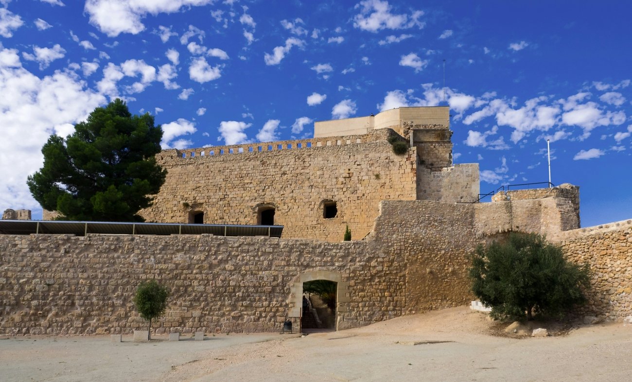
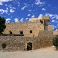
The castle above the village is the specific reason Miravet exists. Founded by the Moors and seized by the Knights Templar in 1153 after the Christian reconquest, it became the administrative headquarters of the entire Templar province of Catalonia and Aragon — not merely a fortress but the centre from which the order coordinated its operations across the Iberian peninsula and into the Mediterranean. The General Chapter of the Temple met here in 1235. When Pope Clement V dissolved the order in 1312 and King James II of Aragon ordered the arrest of all Templars in December 1307, Miravet was where the last knights made their stand. They held the castle for almost a year before surrendering peacefully on 12 December 1308.
The castle is the largest fortified complex in Catalonia, and one of the best-preserved examples of Templar Romanesque military architecture anywhere in the world. It is built in the Cistercian style — austere, functional, the decoration limited to the stonework itself. From the highest walls, the Ebro bends below in both directions, the village white against the hillside, the dry Terres de l’Ebre landscape extending south toward the river’s mouth at the Mediterranean.
The village below the castle is where the second layer of Miravet’s character lives. The streets are narrow and steep, the houses built directly into the rock. Miravet has been a pottery village since the Arabic period — the local clay, the specific technique that the Arabic settlers established, the kilns that continued firing through the Templar period and the Spanish Civil War and into the present. Several workshops still operate. The ceramics are functional rather than decorative — the same forms that have been made here for eight centuries.
The Battle of the Ebro in 1938 was the longest and bloodiest battle of the Spanish Civil War, and Miravet was at its centre. The Ebro was the front line. The castle exchanged hands. The village was bombarded. The landscape around Miravet still yields ordnance when the earth is disturbed, and the trenches on the surrounding hills are visible to anyone who leaves the main path. This is not a footnote to Miravet’s history. It is the most recent layer.
What you find here: the best-preserved Templar castle in the world at working scale. The engine-free river crossing that is still the most practical way in. The Arabic-origin pottery tradition still in production. The Battle of the Ebro landscape on the surrounding hills.
What to plan: from Barcelona, 2 hours by car via the AP-2 motorway. From Tarragona, 80km south. The castle opens daily except Monday; confirm current hours at miravet.cat. The river crossing operates year-round, weather permitting. No large hotels in the village — rural accommodation, or base in Tortosa (25km) for a day visit. The village centre is pedestrian only; car access restricted to residents.
What these five have in common
None of them appears on the first page of results for any search about the country they are in. All five are classified as architectural reserves or national monuments, which means the built environment has been protected and the buildings you see are the buildings that were there before anyone decided to protect them. All five are between 90 minutes and three hours from a major airport. None of them has a queue.
The specific thing that connects them is the reason they survived: each one was either too remote to modernise easily, or too important historically to destroy, or both. Lukomir is inaccessible for six months of the year. Breb sat in a mountain basin that the communist planners’ roads bypassed. Špania Dolina was too structurally significant to touch. Koprivshtitsa was a national symbol. Miravet was the Templar headquarters — too historically significant to erase.
The result, in each case, is a village that looks the way it looks because something prevented it from looking different. That is not a romantic framing. It is the accurate explanation for why extraordinary places are extraordinary.
What this article gives you — and what the guide contains
Five villages. Five GPS coordinates. The honest editorial case for each. The best month to visit and the one thing not to miss.
What it does not contain: the other 45 villages in the Hidden Villages of Europe guide. The specific accommodation intelligence — which farmstays in Breb take walk-ins, which guesthouses in Koprivshtitsa are open in October. The access logistics for Lukomir in winter, including the snowshoe routes from Umoljani and the guided tour operators that have permission to take groups. The complete Terres de l’Ebre circuit that connects Miravet to four other villages and Battle of the Ebro sites within 40km. The GPS coordinates for the secondary positions — the viewpoints, the trail starts, the specific houses worth entering — that are not in this article. The honest assessment of which villages in this category across Europe are worth the detour and which are not.
That is in the guide.
→ The Wanders · Hidden Villages of Europe — Beyond the Map
Fifty villages across twenty European countries. Each one with the editorial case for why it is extraordinary, the GPS coordinates for the primary and secondary positions, the best season and the specific thing that makes it different from the village 40km away that is also in the guide.
This is not a list of pretty places. It is the practical intelligence that makes the difference between arriving at a village and understanding it.
50 villages · 20 countries · GPS per entry · access logistics · best season · photography positions · honest editorial assessment
Coming 2026 · €19 · Join the Hidden Dispatch for the launch notification.