Five Photographs Autumn Is Waiting to Give You
A photo essay — five locations, five different kinds of light, one season that rewards the photographer who arrives with a plan rather than a checklist.
There is a particular quality to October light that no other month produces. The sun sits lower. The shadows are longer at noon than they are in July at dawn. The colour temperature shifts toward amber in the golden hour and the mist — in the right landscape, on the right morning — sits on the water longer than summer ever allows.
These five locations are not the obvious ones. One is in northern Bavaria, thirty minutes from a lake most photographers have never heard of. One is a Bulgarian lighthouse on the Black Sea that the summer crowds leave entirely to itself by October. One is the largest brick castle on earth, which most visitors see in the flat light of a Tuesday afternoon when they could be photographing it at dawn with the Nogat River as a mirror. One is a gorge system in Slovakia that autumn turns into something close to a watercolour painting. And one is a Norwegian fishing village at 70° north where the September light lasts all afternoon and the glacier behind it calves into the sea.
None of these requires specialist equipment. All of them reward a tripod and an early alarm.
01. Josefsthaler Waterfalls, Bavaria
The waterfall that beech forests were invented to frame
Best week: October 10–25 GPS (upper falls): 47.7234°N · 11.8934°E GPS (parking): 47.7189°N · 11.8912°E
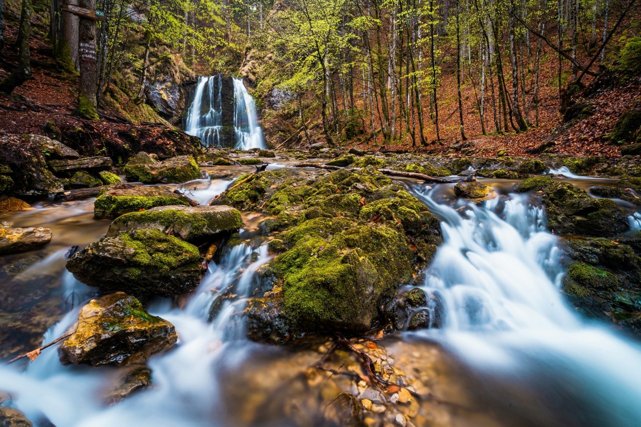
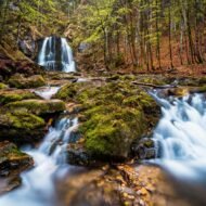
The Josefsthaler Wasserfälle sit in the foothills of the Bavarian Alps south of the Schliersee, on the Hachelbach stream, in a beech and maple forest that spends the other eleven months of the year looking pleasant and spends October looking extraordinary. The falls themselves drop in stages — a main cascade of approximately 20m, then a series of smaller steps — over mossy limestone, into clear pools that reflect whatever light the tree canopy lets through.
In October, the canopy turns. The beech goes copper and gold. The maple goes red. The light that filters down through the leaves in the morning is the colour that landscape photographers spend entire careers chasing and that the Josefsthaler forest produces reliably, every year, for approximately two weeks.
The practical intelligence that most articles miss: the light works best around noon when the sun, still low in the October sky, has enough height to reach the falls through the forest. The morning and late afternoon are beautiful for the surrounding woodland. The falls themselves — the specific shot, the water against the moss against the autumn colour — happen around 12:00 to 14:00.
Bring a polarising filter. The reflections on the water surface and on the wet leaves around the pool will flatten without it. Bring waterproof footwear: the best positions for the lower falls require standing in the stream. The parking is limited at weekends — arrive before 09:00 or after 16:00 on Saturdays and Sundays in October peak.
The walk from the parking area to the upper falls is approximately ten minutes on a good path. No entry fee. No crowds mid-week in October.
What no one tells you: the smaller cascades upstream of the main fall, accessible by continuing past the main pool on an unmarked path, are photographically more interesting than the main drop in autumn. The main fall is impressive. The upstream cascades, with the beech canopy directly above and the leaf-covered stream bed below, are the image that the Schliersee area produces and that almost no one has made.
Camera settings starting point: Tripod essential · polariser essential Water: 1/2s–2s for silky · 1/125s to freeze Colour temperature: 5,200K to preserve the warm foliage
02. Ahtopol Lighthouse, Bulgaria
The Black Sea in October belongs entirely to photographers
Best week: October 5–20 GPS (lighthouse): 42.1012°N · 27.9489°E GPS (cliff viewpoint south): 42.0978°N · 27.9512°E
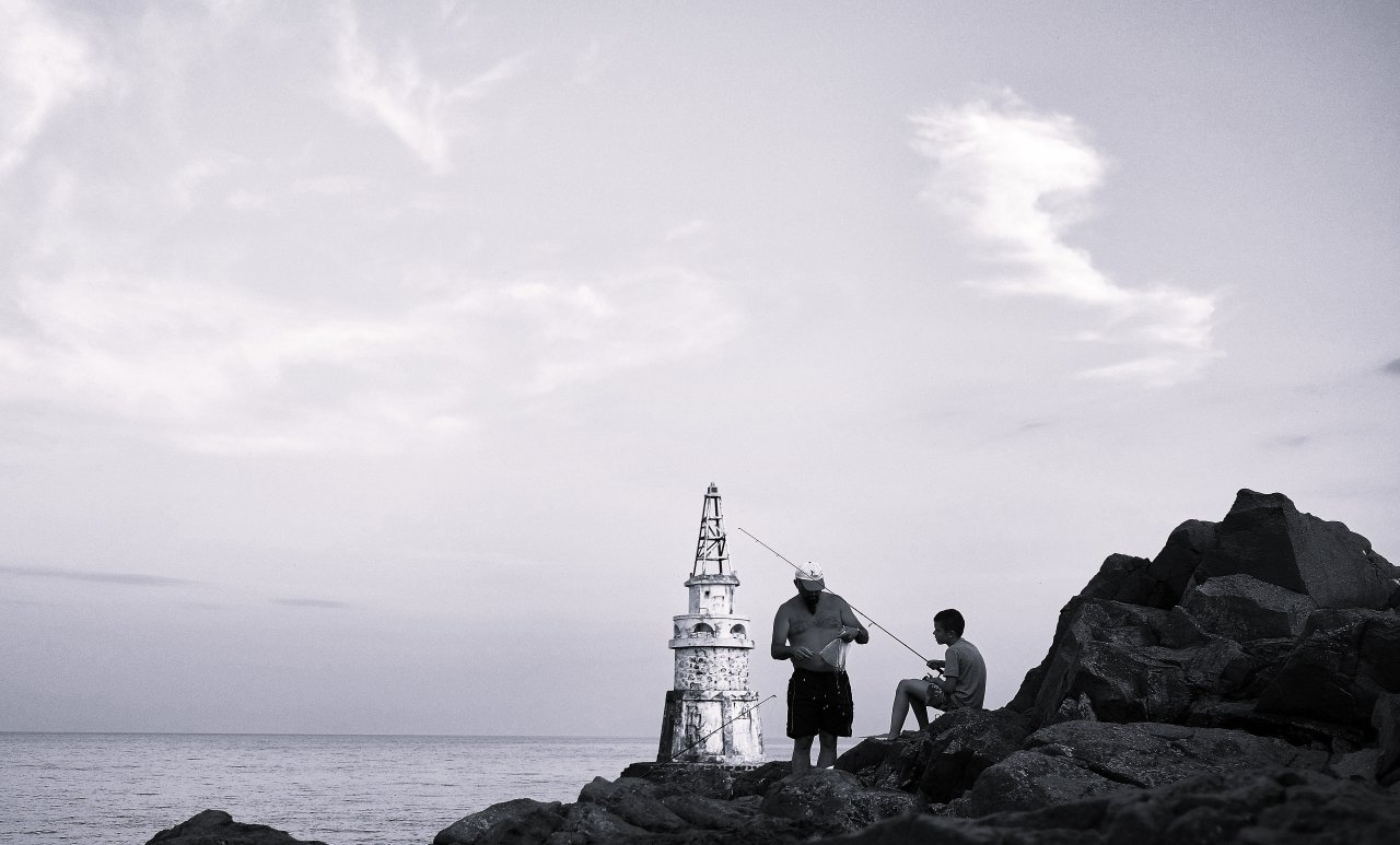
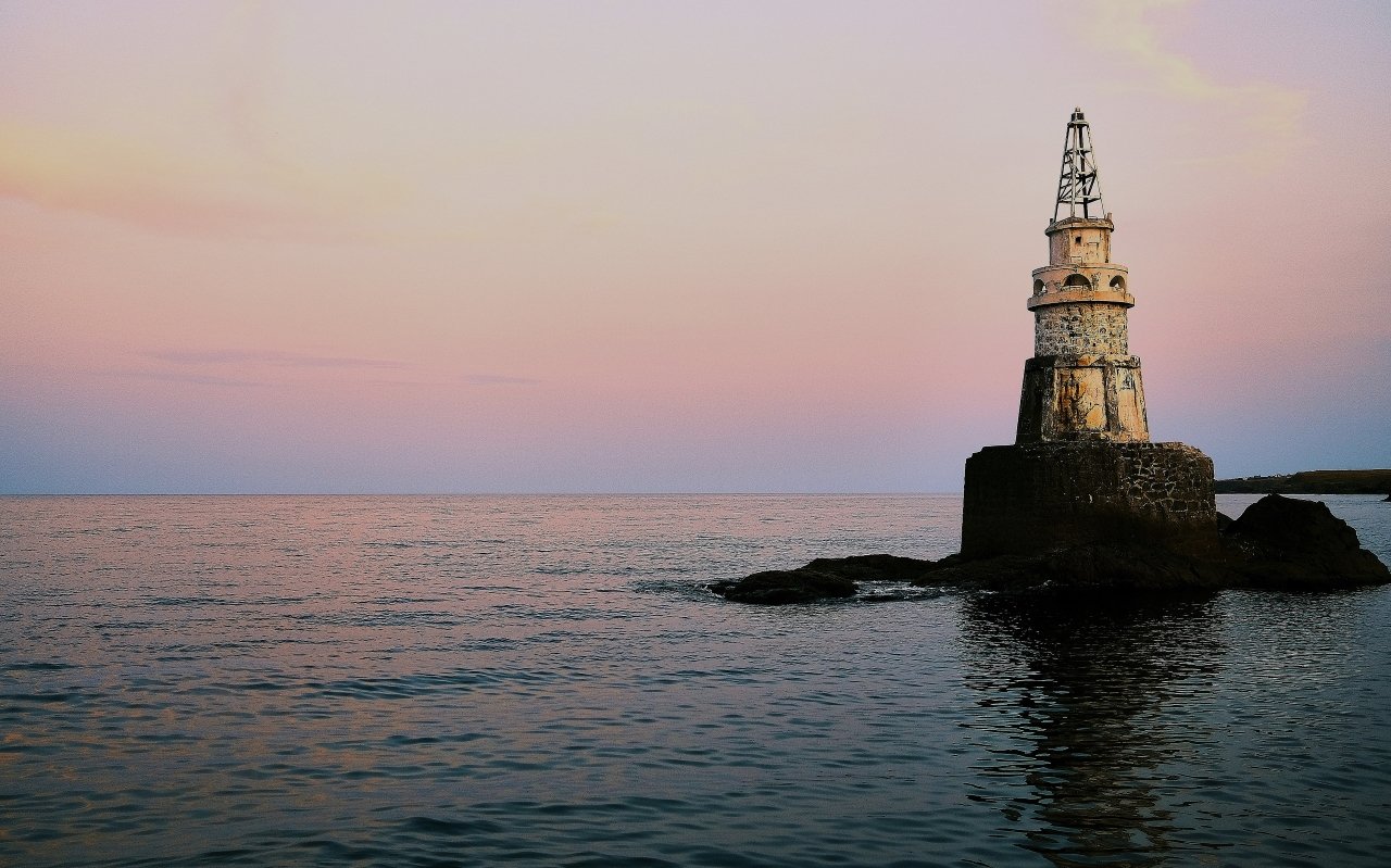
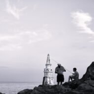
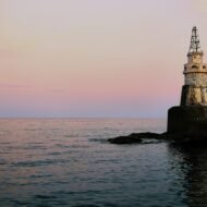
The lighthouse at Ahtopol stands on a rocky outcrop at the edge of the Black Sea, in the southernmost town on the Bulgarian coast. It is a black round concrete tower with a yellow skeleton tower at the top, built in 1932 on a rock in the northern part of the harbour. It is not a particularly large lighthouse. It is not a particularly dramatic lighthouse by the standards of Atlantic coast architecture. What it is — specifically in October, specifically at the hours that matter — is one of the most extraordinary photography subjects on the Black Sea coast.
The surrounding landscape is the point. Ahtopol sits within the Strandzha Nature Park. The town lies on a headland in the southeastern part of Burgas Province, close to the border with European Turkey. The October light from the south and east comes in at an angle that catches the white lighthouse tower against the dark sea and the rocky headland in a way that the flat summer light never produces. The autumn storms that begin in October throw spray at the base of the cliff below the lighthouse during the right conditions. And the Black Sea coast, which carries its summer visitors to Sunny Beach and Golden Sands and nowhere near Ahtopol, has emptied completely by the second week of October. The town of 1,300 people returns to itself.
The dawn shot: position yourself south of the lighthouse on the headland, facing north. The lighthouse is lit from the east at dawn, the sea behind it still dark, the sky moving from indigo to amber above the Turkish hills on the horizon. This shot requires being in position before first light. The walk from the nearest road to the southern headland is five minutes.
The sunset shot: position on the north side of the harbour looking south and west. The lighthouse catches the last horizontal light. The fishing boats in the harbour are in the foreground. The cliffs of the headland are behind. This is the shot that appears on the postal stamp that Bulgaria issued in 2024.
The storm shot: check the forecast. When the October wind comes in from the northeast, the spray from the rocks below the lighthouse reaches 10m on the right days. This is the most dramatic frame and requires a waterproof camera bag and the specific knowledge that the spray is saltwater and will damage unprotected glass immediately.
What no one tells you: the most extraordinary position is not at the lighthouse itself but from the sea. Several local fishing boat operators in Ahtopol will take photographers out in the morning for a negotiated fee — the view of the lighthouse from the water, with the town behind it and the headland in profile, is the frame that the tourism materials use and that no one on the shore can replicate.
03. Malbork Castle, Poland
The largest brick castle on earth rewards the visitor who arrives at dawn
Best week: October 15–30 GPS (dawn position, west bank Nogat): 54.0389°N · 19.0223°E GPS (castle entrance, east bank): 54.0412°N · 19.0267°E
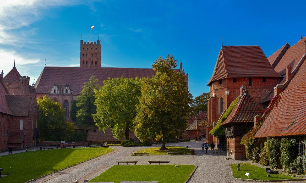
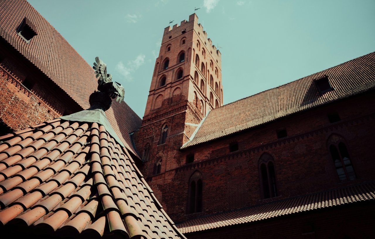
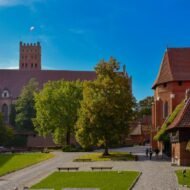
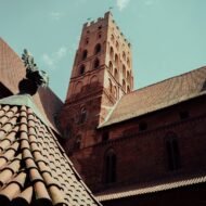
Malbork Castle is located on the east bank of the River Nogat, 40km southeast of Gdańsk, in Pomerania. Built in the 13th century by the Teutonic Knights, it is the largest castle in the world measured by land area, comprising three separate castles — the High, Middle and Lower — separated by multiple dry moats and towers. It has been a UNESCO World Heritage Site since 1997.
None of that history is the reason to be there at dawn on an October morning. The reason is the Nogat River.
The river runs along the west face of the castle. At dawn — specifically in October, when the mist sits on the water and the low sun comes in from the east and catches the red brick of the castle’s west face — the reflection in the Nogat is one of the most extraordinary architectural photographs available in northern Europe. From the opposite bank, the river provides the best view of the medieval castle, and the chances for reflections are best at sunrise. The autumn mist that October produces on the Nogat, combined with the low-angle light that October makes possible, creates conditions that the summer visitor who arrives at 10:00 with the tour groups never sees.
The specific position: the western bank of the Nogat, approximately 200m south of the main bridge. Looking northeast. The full western face of the castle visible, the river in the foreground, the early light on the brick. October 15–30 the specific window when the mist is most consistent and the leaf colour on the trees along the bank adds the foreground element that summer lacks.
The castle opens at 09:00. The dawn shot happens before the castle opens. The river position requires no ticket. The approach is from the bridge on the western bank — five minutes’ walk from the nearest parking.
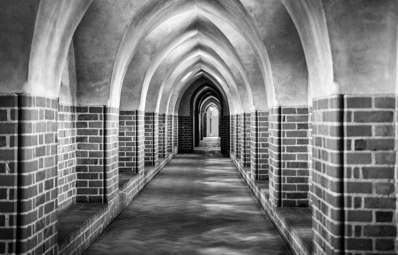
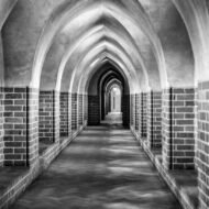
The interior: the castle courtyard in October afternoon light, when the sun is low and the shadows across the brick are long, is a completely different photographic proposition from the flat-lit interior of summer. The guided tour in October carries approximately a third of the summer visitor numbers. The light through the Gothic windows of the chapter house in afternoon October light is the interior shot that the castle’s own marketing department has not yet made.
What no one tells you: the most overlooked shot is from the north. The railway bridge north of the castle, looking south, gives the full eastern face of the castle against the sky with the river below and — on the right October morning — the mist still in the valley. This position requires a longer lens (200mm+) and is completely unvisited.
04. Janošík’s Holes, Slovakia
A gorge system that autumn turns into a vertical garden
Best week: October 5–20 GPS (lower holes trailhead, Biely Potok): 49.2561°N · 19.0676°E GPS (upper holes trailhead, Štefanová): 49.2411°N · 19.0806°E
Jánošíkove diery — Janošík’s Holes — is a narrow gorge system located between Biely Potok and Štefanová near Terchová in the Malá Fatra mountains of Slovakia. There are four main sections — Dolné diery, Horné diery, Nové diery and Tesná rizňa — with 20 waterfalls and numerous elevated trails and ladders. The complete circuit requires four to five hours.
The gorge system is named after Juraj Jánošík, the Slovak outlaw — the Robin Hood figure of Slovak legend — who was born in Terchová in 1688. The naming is appropriate. These gorges have the quality of somewhere that rewards those who know where they are going and punishes complacency. The wooden ladders and metal footbridges that link the gorge sections are wet. The rock is slippery. The canyon walls in places close to 2m width. This is not a place for casual footwear.
In October, the beech forest on the canyon walls turns. The colour comes down from the ridge at approximately 1,000m and reaches the gorge floor by the second week of the month. The waterfalls — twenty of them across the complete system — are at their most photogenic in the autumn flow when the summer drought has broken and the water is moving properly but the summer crowds are gone.
The specific photographic opportunity: the ladders and footbridges themselves. The wooden infrastructure of the gorge, with the autumn colour above and the water below and the narrow crack of sky at the top of the canyon, is a compositional element that exists nowhere else in central European photography. The vertical frame — shooting straight up through the canyon with the ladder in the foreground, the colour above and the water below — is the image that the Horné diery section (the upper holes) produces most completely.
The upper holes are considered the most beautiful and interesting part of the canyon system, leading through cliffs over metal bridges and ladders across the river. The trail is one-way upward — the descent back to Terchová uses a separate green-marked path.
What no one tells you: the Nové diery (new holes) section is the least photographed and the most accessible for the autumn colour shot specifically. The New Holes Gulley leads from the Lower Holes upstream of a smaller tributary stream of the Dierový Creek, and walking through is easy enough even for children. It is also where the autumn colour descends first and stays longest, because the canyon walls shelter it from the wind. The four small waterfalls in this section, each 1–2m high, are the most intimate waterfall photography in the system.
Camera settings starting point: Wide angle (16–24mm) for the vertical gorge frames Tripod: difficult on the ladders — use a Gorillapod or shoot handheld at ISO 800–1600 Waterfalls: 1/4s–1s · polariser for the wet rock walls DO NOT go after heavy rain — the ladders become genuinely dangerous
05. Lake Bondhusvatnet, Norway
The glacier lake that autumn turns into a mirror
Best week: September 20 – October 5 GPS (lake shore, primary position): 59.9934°N · 6.2289°E GPS (trailhead parking, Bondhusdalen): 59.9812°N · 6.2134°E
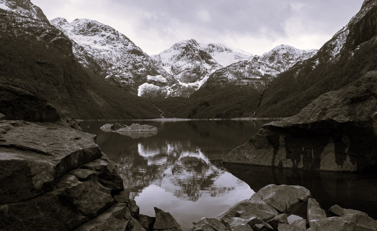
Bondhusvatnet sits at the end of the Bondhusdalen valley in Hardanger, at the foot of the Folgefonna glacier — Norway’s third largest. The walk to it follows a gravel road built in 1863, originally constructed to carry glacier ice down from the Bondhusbreen arm of Folgefonna to waiting ships on the fjord below. The road took blocks of ice from the glacier to the Hardangerfjord for export to cities across Europe. The ice trade that once connected this valley to Victorian London is gone. The road remains, and it is one of the most straightforward approaches to one of the most extraordinary landscape photography locations in western Norway.
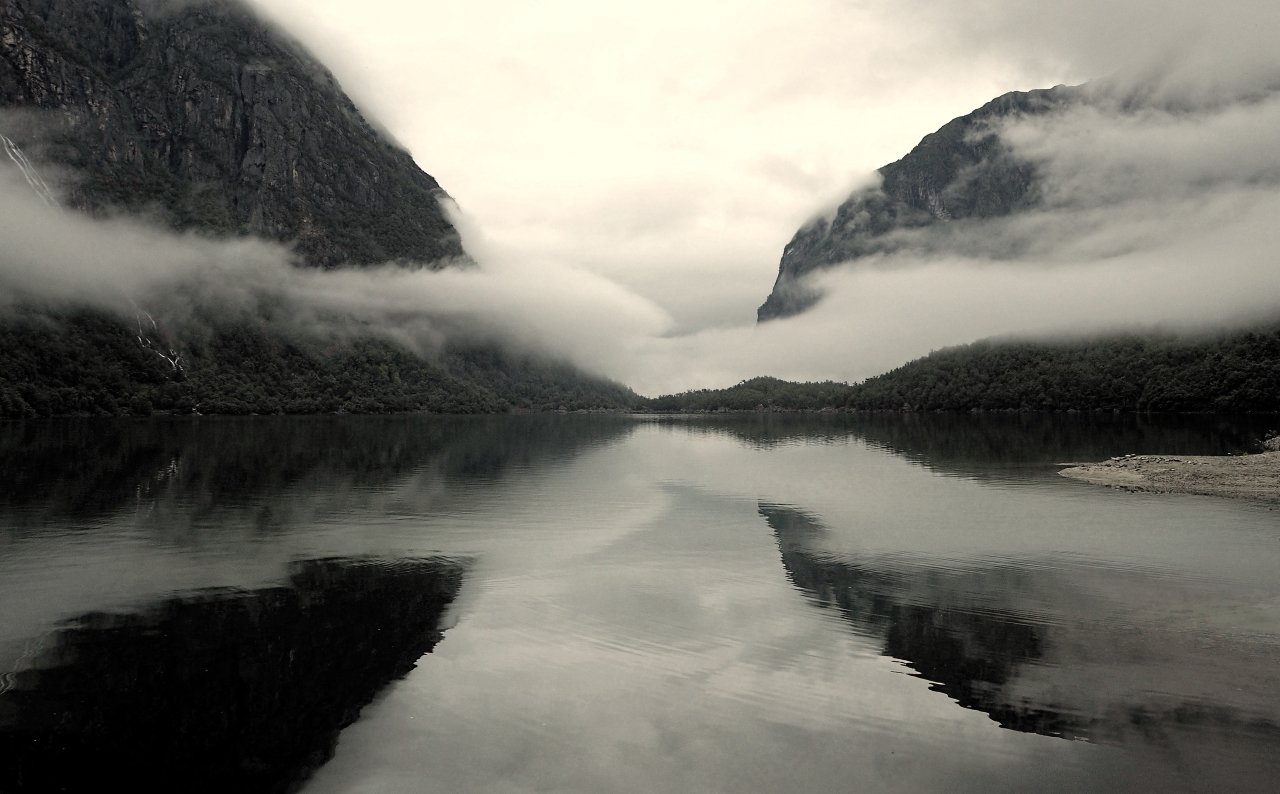
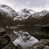
The lake is wind-protected. The valley walls close in on both sides, the Bondhusbreen glacier filling the head of the valley above the lake surface. On calm mornings — and September mornings in Hardanger are frequently calm — the reflection in the water is complete. The glacier above. The vertical rock faces to the left and right. The birch forest on the lower slopes, turned butter-yellow and copper by the last week of September. All of it reflected in a lake that sits still long enough for a long exposure to produce something close to an abstract rather than a landscape.
The autumn case is specific. In summer the lake is visited — not overcrowded, but consistently busy in the middle of the day with families and day hikers. By the third week of September the visitor numbers drop sharply and the birch has turned. The colour on the valley slopes, reflected in the lake below the glacier, is a combination that Hardanger produces at this specific point in the calendar and that the summer photographs cannot replicate.
The walk from the parking area is approximately 2.5km each way on the gravel road, taking 45 minutes to an hour at a steady pace. The road is broad enough for good light in the valley even on overcast days — the Hardanger autumn light is often diffuse and even, which is ideal for the reflection photography the lake demands. In bright direct sun the reflection breaks up. The overcast morning, which Norwegian September provides regularly, is the condition the location is made for.
The extension: continuing past the lake toward the Bondhusbreen glacier adds another 45 minutes of increasingly demanding terrain. The reward is the glacier itself at close range — the blue ice, the meltwater streams, the moraine field. For photographers, the combination of the lake reflection in the morning and the glacier approach in the afternoon is a complete day in a valley that receives a fraction of the attention of the more famous Norwegian fjord locations.
What no one tells you: the Bondhusdalen valley floor, on the approach walk before the lake becomes visible, is the most overlooked photographic section. The river alongside the gravel road, the stone walls built by the farmers who grazed these slopes, the birch canopy above the road in the last week of September — this is the walk that the photography articles skip because the lake is the headline. The 30 minutes before you see the lake contain the most intimate autumn woodland photography available on the walk, with the sound of the glacier melt audible in the river beside the road.
Note on drone use: drone restrictions apply in parts of the Folgefonna National Park. Confirm current regulations at miljodirektoratet.no before flying.
Camera settings starting point: Reflection shots: tripod essential · calm conditions required Early morning: f/8–f/11 · ISO 100 · 2–8s exposure for glassy water Overcast: colour temperature 6,000–6,500K to preserve the birch yellow Glacier: +0.7 stops exposure compensation to hold ice detail Valley walk: 24–35mm · the birch canopy close overhead
The photograph autumn is actually waiting to give you
Each of these five locations has a version that most visitors make and a version that the location is actually capable of. The difference is almost always timing — arriving at the hour the light demands rather than the hour the schedule allows — and the specific intelligence that turns a pleasant visit into the shot that keeps appearing in your mind six months later.
The Josefsthaler falls at noon in the second week of October. The Ahtopol lighthouse from a fishing boat in the first morning light. The Nogat River reflection of Malbork before the castle opens, before the mist lifts, before the tour coaches arrive. The vertical frame in Janošík’s Holes through the ladder and the canyon crack and the autumn colour above. The Bondhusvatnet reflection in the calm of a September morning, the glacier above, the birch yellow on the slopes, the valley entirely still.
These are photographs that autumn in Europe is producing right now. Most of them go unmade.
Each location in this article links to a full Beyond the Map article with additional GPS coordinates, seasonal timing and photography notes. The coordinates given here represent the primary shooting positions — the exact GPS data for secondary positions, the specific dawn approach routes and the less-visited angles at each location are in the Beyond the Map Photo Guide.
→ The Beyond the Map Off-the-Beaten-Path Photography Guide
The five locations above are from the Beyond the Map editorial archive. The Photography Guide goes further: 40 off-the-beaten-path photo shoot destinations across Europe, each with primary and secondary GPS coordinates, optimal light windows by month and the specific technical intelligence for the shot the location actually offers.
Locations include: the Vikos Gorge north face at dawn · the abandoned salt pans of the Camargue in October · the upper Soča Valley in the September mist · the Rhodope plateau in Bulgaria at the beech colour peak · the chalk cliffs of Étretat from the sea · the Olafsfjörður fiord in Iceland in late September · the Transylvanian plateau at the harvest season · and thirty-three others that the standard photography guide has not reached.
100 GPS coordinates. Primary and secondary shooting positions. Light window by month and by hour. Technical starting points for every location.
Coming 2026 · €19 · Join the hidden dispatch for the launch notification.