

The Vikings did not stay at home. From the 8th to the 11th century, they traded, raided and settled from Ireland to the Baltic, and carved their names into the marble of Athens and Constantinople. Here are five places beyond Scandinavia where you can still find them.
Most Viking journeys begin in Scandinavia: the ship museums of Oslo and Roskilde, the royal mounds of Uppsala. But the Viking world was far larger than the North. For three centuries, men and women from Denmark, Norway and Sweden sailed west to Ireland and the Isle of Man, north to Shetland, south to the coasts of Germany and Poland, east across the Baltic and down the great rivers of Eastern Europe, and all the way to Constantinople.
Some came to raid. Many more came to trade, to farm and to stay. They founded towns that still exist, built walls and harbours, held assemblies and buried their dead in foreign ground. Their traces are scattered across Europe, and most travellers walk past them without knowing.
| Place | Why go | |
|---|---|---|
| 1 | Hedeby, Germany | The greatest Viking trading town, now a UNESCO site |
| 2 | Wolin, Poland | The Viking and Slavic port of legend |
| 3 | Jarlshof, Shetland | A Viking farm at the edge of the North Atlantic |
| 4 | Tynwald Hill, Isle of Man | The Viking assembly that never stopped meeting |
| 5 | Waterford, Ireland | The city the Vikings founded in 914 |
1. Hedeby, Germany
54.49° N, 9.57° E · Busdorf, near Schleswig, Schleswig-Holstein
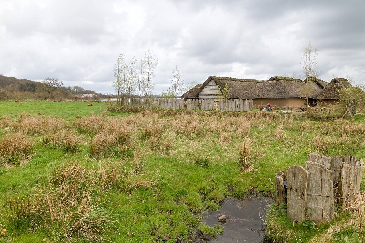
At the head of the Schlei inlet, in what is now northern Germany, lay the greatest trading town of the Viking world. Hedeby, first mentioned in 804, connected the Frankish Empire with Scandinavia, and the Baltic with the North Sea. An Arab traveller of the 10th century, Ibrahim ibn Yaqub, called it “a very large city at the very end of the world’s ocean”.
A semicircular earth wall, 9 metres high, still curves around the site of the town, and it joins the Danevirke, the great earthen frontier wall that the Danish kings built across southern Jutland. Hedeby was sacked and burned by the Norwegian king Harald Hardrada in 1050, and again by West Slavs in 1066, after which it was slowly abandoned.
In 2018, Hedeby and the Danevirke became a UNESCO World Heritage Site. Next to the site, the Viking Museum Haithabu, opened in 1985, displays the finds, and since 2005, several Viking houses have been rebuilt on their original foundations.
In the Field Guide: the walk along the semicircular wall, the reconstructed houses, the Danevirke route, and the old town of Schleswig across the water.
When: April to October, when the reconstructed houses are open; the museum is open most of the year. Weather at Hedeby: a cool, windy Baltic climate. Summers are mild, with highs around 20–22°C, and winters are grey and damp, around freezing. Rain is spread through the year. Getting there: a few kilometres south of Schleswig, about 1 hour 30 minutes by car from Hamburg.
2. Wolin, Poland
53.84° N, 14.62° E · Wolin island, West Pomerania
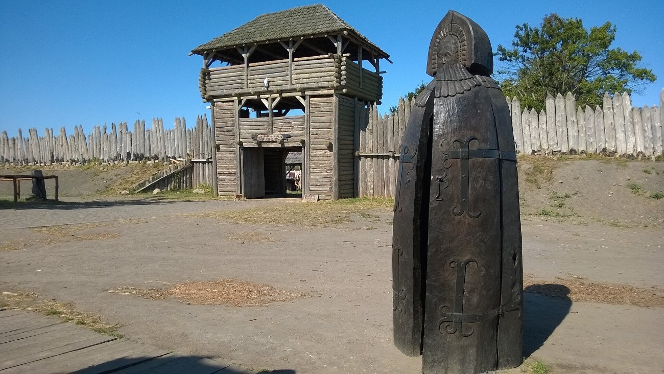
On the island of Wolin, at the mouth of the Oder, the small town of Wolin stands on the site of one of the great ports of the early medieval Baltic, a trading town where Slavs and Scandinavians lived and traded side by side. Medieval chronicles and sagas speak of Jomsborg, a stronghold of Viking warriors, and Vineta, a rich city swallowed by the sea; many historians and local people believe both stories point to Wolin.
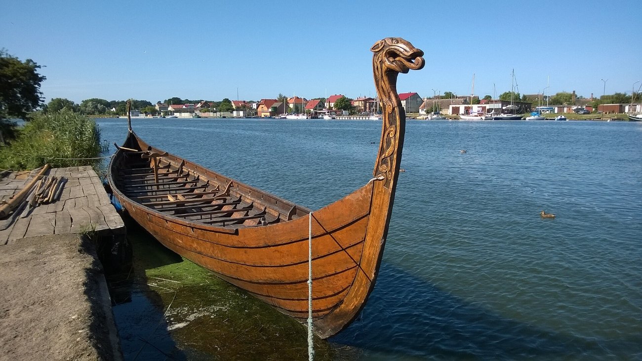
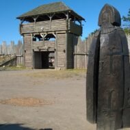
Today, on the bank of the Dziwna river, the Centre of Slavs and Vikings has rebuilt an early medieval settlement, inspired by archaeological excavations. You can learn old crafts, taste early medieval food and try on armour. Every summer, the centre hosts the Festival of Slavs and Vikings, when hundreds of re-enactors from across Europe camp, trade and fight on the island.
In the Field Guide: the festival (dates, tickets and how to get there), the excavations in the town, and the wild coast of Wolin National Park.
When: April to October, the festival is usually held in summer. Weather on Wolin: a southern Baltic climate. Summers are mild and pleasant by the sea, with highs in the low 20s °C; spring and autumn are cool and windy; winters are cold and grey. Getting there: about 1 hour 15 minutes by car from Szczecin, or about 2 hours 30 minutes from Berlin. The centre is open daily from April to October.
3. Jarlshof, Shetland
59.87° N, 1.29° W · Sumburgh Head, southern Shetland, Scotland
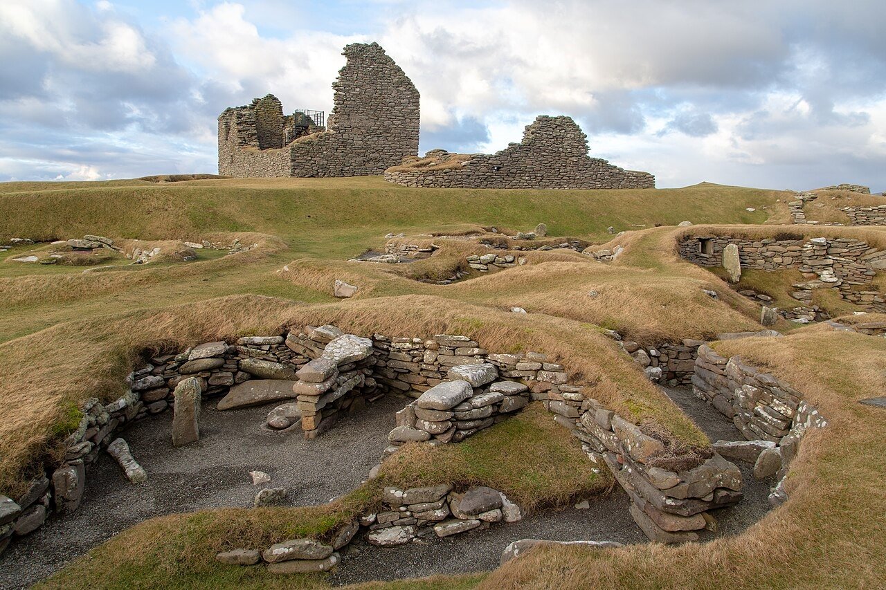
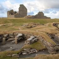
At the southern tip of Shetland, closer to Norway than to London, a low green headland holds one of the most remarkable archaeological sites in Britain. In the 800s, Vikings from Norway sailed here and built a farm. Its Norse longhouse is still clearly visible, with the outlines of the buildings that grew around it over the following centuries.
The Vikings were not the first. Jarlshof is a site of layer upon layer: from the late Neolithic and the Bronze Age, through the Iron Age, the Vikings and the medieval farmers, to the ruined Old House of Sumburgh, built by Earl Patrick Stewart in the 16th century. The whole site was hidden under sand until storms uncovered it in the 1890s. Its name is a literary invention: Sir Walter Scott called a house “Jarlshof” in his novel The Pirate, and the name stuck.
Walk from the Bronze Age houses to the Viking longhouse, and you cross more than four thousand years of life on the edge of the North Atlantic.
In the Field Guide: how to read the Viking farm among the other layers, the seabird cliffs of Sumburgh Head nearby, and the Norse sites of Unst, Shetland’s northernmost island.
When: April to September, the main visitor season; long light evenings in June. Weather in Shetland: cool, windy and changeable. In Lerwick, average highs are about 14–15°C in July and August, 13°C in September and 10°C in October, and about 6°C in January. Autumn and winter are wet and stormy; May to July are the driest months. Getting there: Jarlshof is next to Sumburgh Airport, at the southern end of Shetland, and about 40 minutes by car from Lerwick. Shetland is reached by air or by overnight ferry from Aberdeen.
4. Tynwald Hill, Isle of Man
54.21° N, 4.64° W · St John’s, Isle of Man
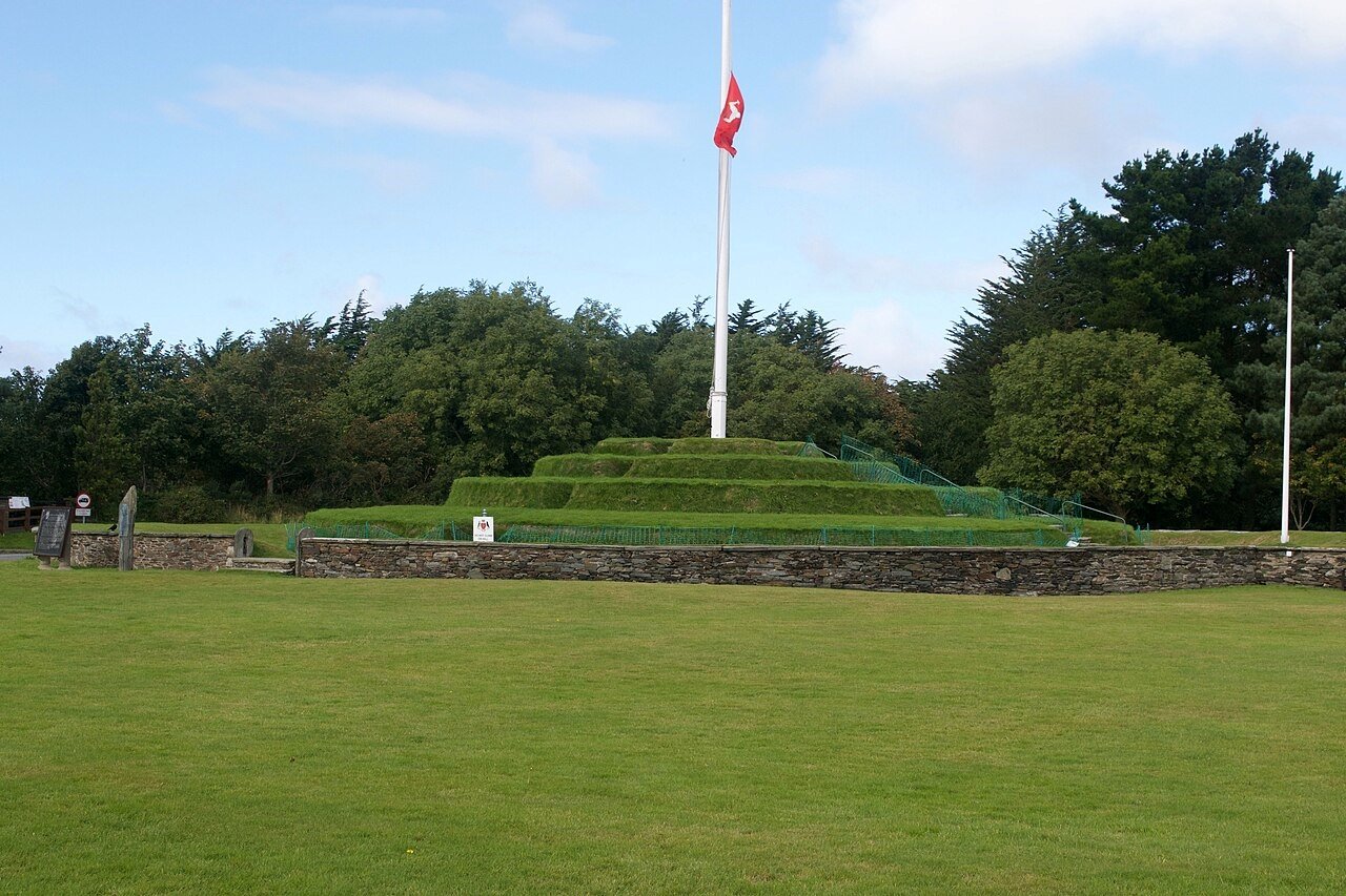
In the middle of the Irish Sea, the Isle of Man was settled by Vikings in the 9th and 10th centuries. They brought their language, their laws and their thing, an open-air assembly of free men. The name of the island’s parliament, Tynwald, comes from the Norse thingvollr, “assembly field”.
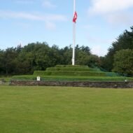
Tynwald is described as the oldest continuous parliament in the world, more than 1,000 years old. Its traditional meeting place is Tynwald Hill at St John’s, an artificial stepped mound in a green field. Every year on 5 July, Tynwald Day, the island’s government still gathers on and around the hill in an open-air ceremony: the new laws of the past year are announced, and any citizen may present a petition, just as in the days of the Vikings.
In the Field Guide: Tynwald Day (how to watch the ceremony), Peel Castle on St Patrick’s Isle, the Viking ship burials of the island, and the Manx Norse crosses.
When: May to September, 5 July for Tynwald Day. Weather on the Isle of Man: a mild, windy maritime climate. Average highs are about 18°C in July and August, 16°C in September and 14°C in October, and about 8°C in January. October is the wettest month, and wind is common all year. Getting there: by ferry from Heysham or Liverpool, or by air to Ronaldsway. St John’s is about 15 minutes by car from Douglas.
5. Waterford, Ireland
52.26° N, 7.11° W · County Waterford, south-east Ireland
In 914, Vikings sailed up the river Suir and founded a settlement that became Waterford, often called Ireland’s oldest city. Their walls, about a thousand years old, gave their name to the Viking Triangle, the historic core of the city today.
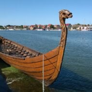
At its tip stands Reginald’s Tower, described as the oldest urban civic building in Ireland. It now houses a Viking Museum, one of the three museums of the Waterford Treasures, and beside it stands a 12-metre replica of a Viking longship. Nearby are a 13th-century Franciscan friary and the Bishop’s Palace, telling the story of the city after the Vikings.
In the Field Guide: the Viking Triangle walk, the three Treasures museums, the Viking site at Woodstown up the river, and the Waterford Greenway.
When: April to October; the city is lively all year. Weather in Waterford: a mild, damp Irish climate. Summers are cool, with highs in the high teens to around 20°C, and winters are mild, rarely below freezing. Rain can fall in any month. Getting there: about 2 hours by car or train from Dublin.
The Vikings in the South
The Vikings went even further. In the 11th century, Scandinavian mercenaries of the Varangian Guard served the Byzantine emperors in Constantinople, and they left their mark.
- The Piraeus Lion: a great marble lion that once stood in the harbour of Piraeus, near Athens, is covered with runic inscriptions carved by Varangians between the 1020s and the late 11th century. In the 17th century, the Venetians carried it off to Venice, where it still guards the gate of the Arsenal. A copy stands in Piraeus.
- Hagia Sophia, Istanbul: in the upper gallery of the great church, a runic graffito found in 1964 is read as the name Halfdan: “Halfdan carved these runes”. A second name, Ari or Arni, was found nearby in 1975.
Beyond the map
The Vikings are remembered for their raids. But stand on the wall of Hedeby, watch the re-enactors camp on Wolin, walk into a Viking longhouse at the edge of Shetland, see the Manx parliament gather on its hill, or walk the old walls of Waterford, and a larger picture appears: traders, settlers, lawmakers and city founders, spread across Europe from Ireland to the Bosphorus. They were not only invaders. Many of them were builders, and Europe still lives in some of the places they built.
Viking Europe — a Beyond the Map Field Guide
[Viking Europe — The Beyond the Map Field Guide]
The five places in this article are only the beginning. The Field Guide follows the Vikings across Europe:
- The five sites in detail, with visiting notes, opening times and routes
- The Viking ring fortresses of Denmark, such as Trelleborg
- Birka and Hovgården, the Viking trading town on Lake Mälaren
- Before the Vikings: Salme on Saaremaa and the Gotlander settlement at Grobiņa in Latvia, Scandinavians on the Baltic before the Viking Age began
- The Norse North Atlantic: Unst, Orkney and the Faroe Islands
- Normandy, the land the Vikings were given in 911
- The Varangian road: the runes of the Piraeus Lion in Venice, Hagia Sophia, and the Greece runestones of Sweden
- Viking festivals across Europe, with dates
- Offline maps and GPS points for every site
→ [Get the Field Guide]
Read next: Salme: Before the Vikings · Where the Templars Were · When Skåne Was Danish · Foteviken Museum
Explore more: Trails · Europe’s Most Beautiful, Beyond the Map · Military Heritage