




The nation-state is a recent invention. Most of Europe’s borders were drawn or redrawn within the last hundred years — and in the drawing, entire regions were divided, reassigned, depopulated, and renamed. The people who lived in them — Rusyns, Podlasians, Courlanders, Samogitians — did not disappear, but their names and their geographies largely vanished from the English travel conversation.
What remains is extraordinary. A duchy of 200,000 people that simultaneously colonised Tobago and the Gambia in the 17th century. A lake in central Sweden that exists because an asteroid struck 377 million years ago and carved a crater now visible from space. The last region of Europe to be Christianised — a full 162 years after the rest of the continent. A borderland district in Poland that is 70% Orthodox Christian in a Catholic country. A mountain community whose homeland changed hands five times in thirty years.
Five regions. Five different kinds of erasure. All of them accessible, all of them layered, all of them largely absent from English travel writing.
1. Ruthenia — The People Without a State
GPS anchor: Bodružal wooden church, 49.353°N, 21.708°E — Prešov Region, Slovakia
In August 1914, Austria-Hungary began arresting Rusyns from the Carpathian valleys and sending them to an internment camp outside Graz. The camp was called Thalerhof. At its peak it held 5,700 prisoners — Rusyns and Lemkos detained as suspected Russian sympathisers. The first winter, before barracks were built, internees lived on open ground. Approximately 3,000 died in 18 months, most of typhus. In 1936, 1,767 bodies were exhumed and reburied in a mass grave. Austria has never formally acknowledged what happened. The site of the Thalerhof camp is now beneath the runway of Graz Airport.
That story — Europe’s first mass civilian internment of the 20th century, predating the better-documented camps by twenty years — is almost entirely absent from English-language history. It is the opening chapter of a century that would treat the Rusyns with consistent indifference to their existence as a people.
Ruthenia is the historic name for the Carpathian homeland of the Rusyns: an East Slavic people with their own language, their own Greek Catholic religious tradition, and — across the 20th century — no state of their own. The region changed hands five times in thirty years. The Treaty of Saint-Germain (10 September 1919) assigned it to Czechoslovakia as an autonomous province. The First Vienna Award (2 November 1938) ceded the south to Hungary. On 15–18 March 1939, for 72 hours, Carpatho-Ukraine declared independence; Hungarian forces invaded before it could be recognised. Soviet occupation followed in October 1944; a cession treaty signed on 29 June 1945 transferred the territory to the USSR as Zakarpattia Oblast, forcing Czechoslovakia to give up approximately 12,777 km² and 450,000 inhabitants. Ruthenia had not chosen any of its seven masters.
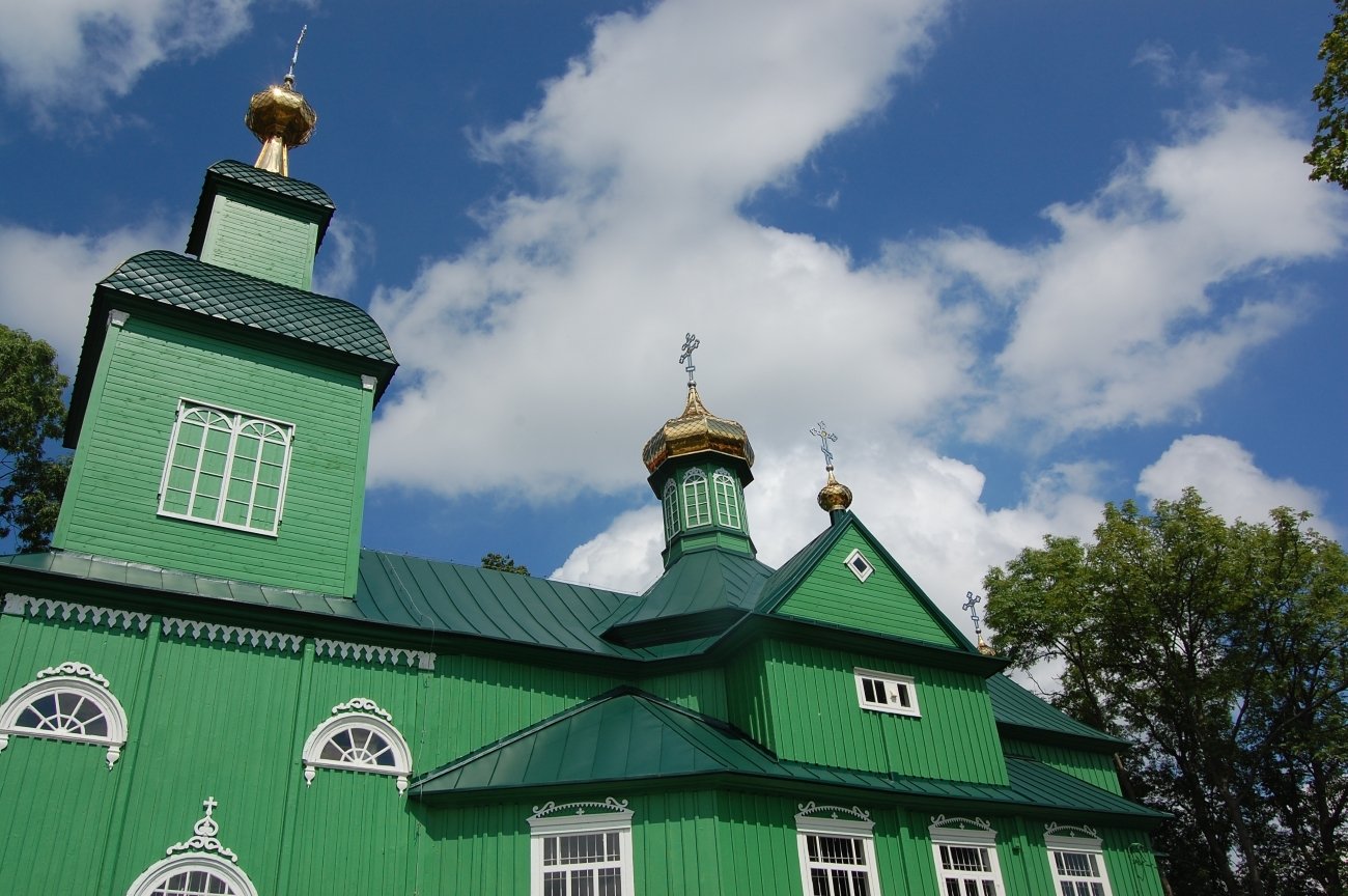
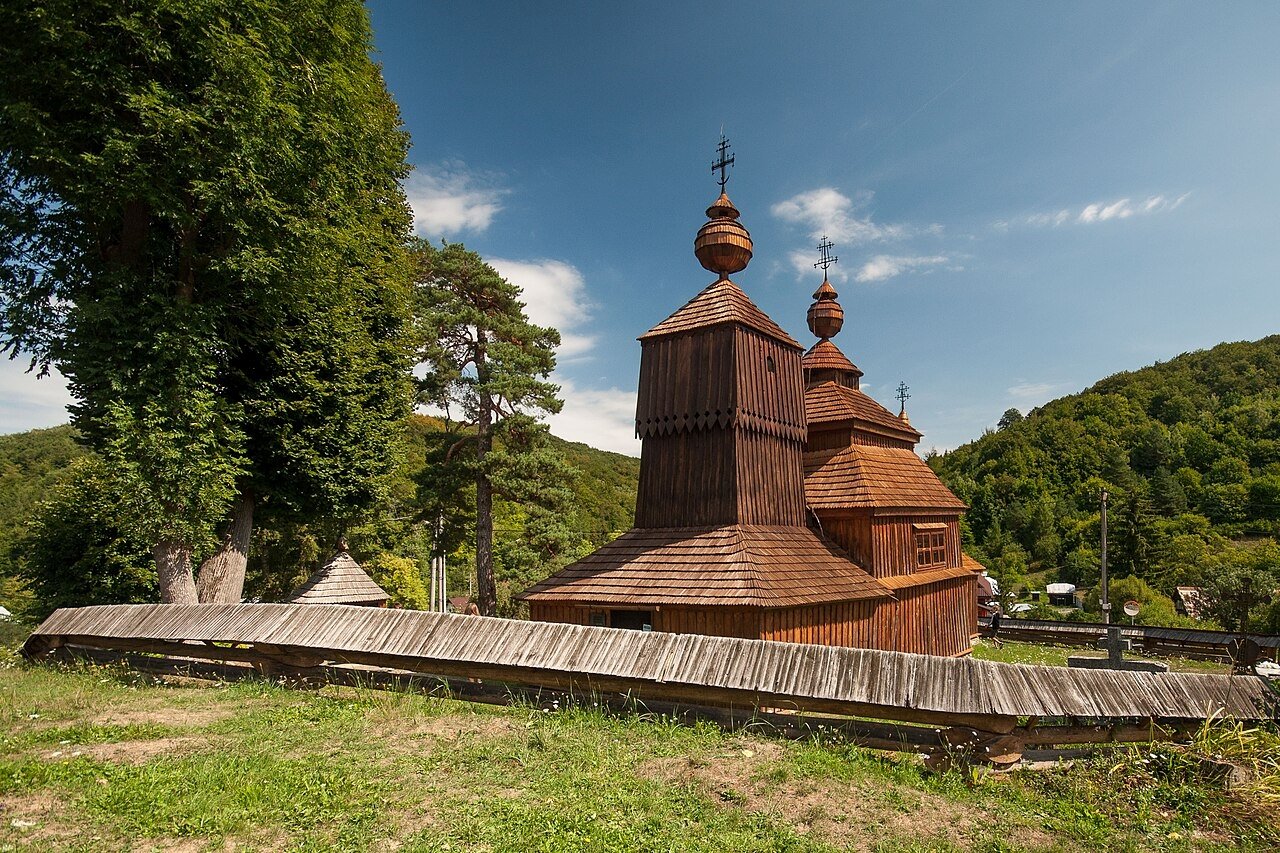
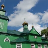
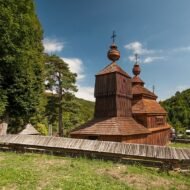
Today, the Slovak half of the Rusyn cultural landscape — the Prešov Region — contains one of Europe’s least visited UNESCO World Heritage corridors. Eight wooden churches, inscribed in 2008, stand in the Carpathian foothills: Greek Catholic and Orthodox structures built between the 15th and 18th centuries in a distinct architectural tradition of interlocking timber construction, painted iconostases, and onion domes that belong to neither Russian nor Western European visual tradition. The church at Bodružal (1658) has a three-tier tower and intact interior; Ladomirová (1742) retains its original bell-tower and frescoes; Ruská Bystrá in the east shows the transition to the Ukrainian vernacular. Almost none of them have English signage or published visiting hours — arriving at the correct day and hour requires contact in advance.
The practical base is Bardejov, a UNESCO-listed medieval town with a preserved market square, 90 minutes north of Košice. From Bardejov a two-day circuit connects the wooden church villages and the Svidník Museum of Ukrainian-Rusyn Folk Architecture — an open-air museum of ten hectares with a relocated 1766 church, traditional farmhouses, mills, and outbuildings — before the landscape climbs into the Carpathian range toward the Polish frontier.
On the Polish side, the Lemko homeland was emptied by Operation Wisła in 1947 — the same forced deportation that created the Nieznajowa portal described elsewhere in this series. The wooden churches that remain — Kwiatoń (1700), Owczary (1653), Powroznik (1604), Turzańsk (1801), with five domes — now mostly serve Roman Catholic congregations. That denominational shift is itself a monument to the ethnic cleansing: the buildings survived; the communities that built them did not. In the 2021 Slovak census, 63,556 people identified as Rusyn — nearly double the 33,482 who did so in 2011, a recovery of cultural confidence measurable in census data. Ukraine does not recognise Rusyns as a distinct people at all.
Access: Base in Bardejov (trains from Košice, approximately 1.5 hours; bus from Prešov). The wooden churches are 20–60 km from Bardejov by road. No public transport to individual villages; hire a car. The Svidník Open-Air Museum is 30 km northeast of Bardejov. No entrance hours confirmed in English for the churches — contact local tourism offices or visit on weekday mornings. Photography of interiors varies by church.
→ The full Rusyn heritage circuit and wooden church access guide: Hidden Europe — The Beyond the Map Map
2. Podlasie — Three Faiths in One Borderland
GPS anchor: Kruszyniany Mosque, 53.176°N, 23.813°E — northeastern Poland
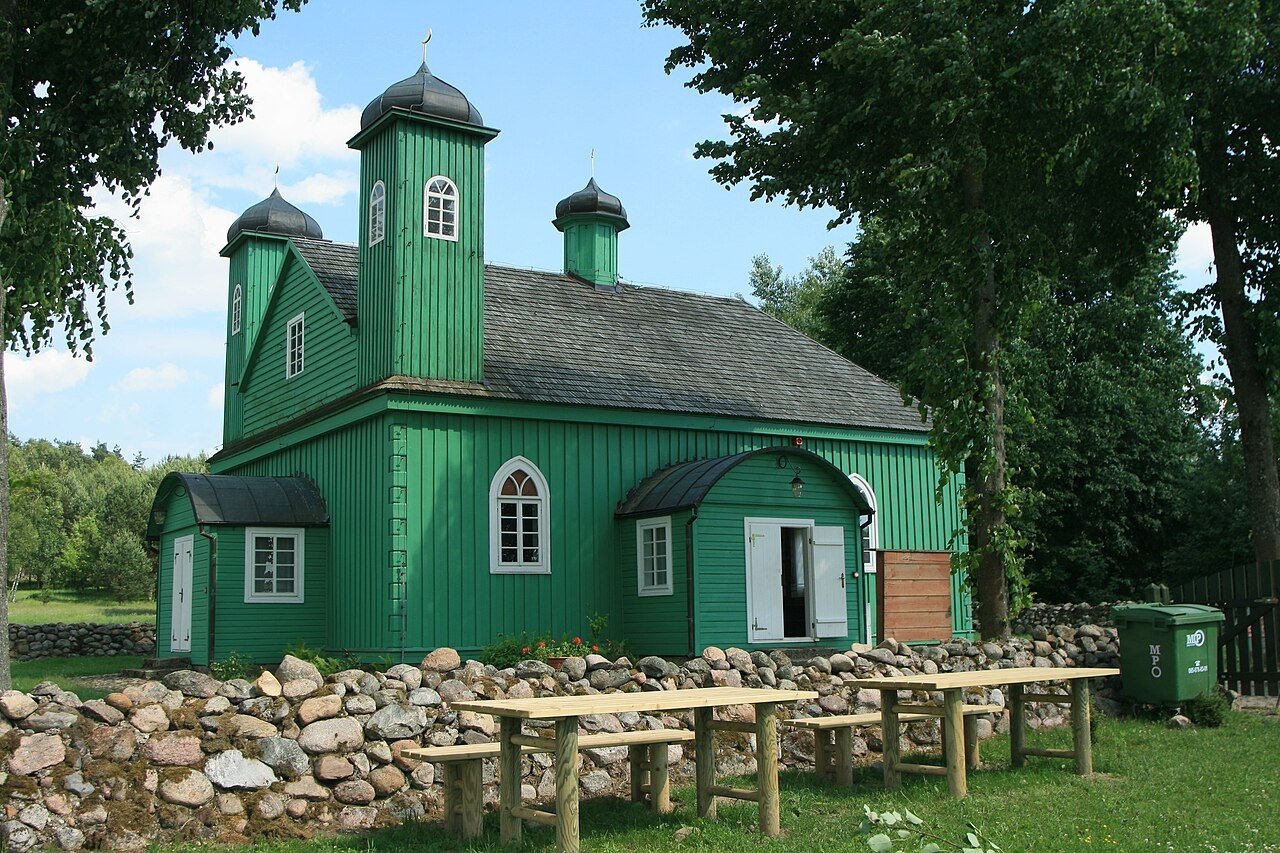
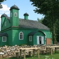
In the late 17th century, King Jan III Sobieski of Poland — the same monarch who relieved the Ottoman siege of Vienna in 1683 — granted the village of Kruszyniany to Tatar cavalry officers who had fought for the Polish-Lithuanian Commonwealth. The grant came with noble status equal to the Polish szlachta. The Tatars built a mosque. It was documented in 1717, which makes it one of the oldest functioning mosques in Europe. It is a small, timber-framed structure, painted green, surrounded by an orchard in a village of a few hundred people, fifty kilometres from Białystok, three kilometres from the border with Belarus.
The mosque at Kruszyniany is the physical evidence of a fact that English travel writing has not absorbed: that the Lipka Tatars — Muslim cavalry settlers who began arriving in the 14th century under Grand Duke Vytautas of Lithuania — have been a continuous presence in what is now northeastern Poland since before the Protestant Reformation. Their second surviving mosque is at Bohoniki, forty kilometres north. These are the only two Tatar villages that remained inside Polish borders after the 1945 border redrawing. The community today numbers approximately 2,000 by official census — though estimates of ancestry reach higher. They are the oldest continuously Muslim community in Poland, and they are almost entirely absent from English travel coverage of the country.
Podlasie is a borderland in the oldest sense: a territory where the jurisdictions of Catholic Poland, Orthodox Russia, and the Muslim Tatar settlements overlapped for centuries, leaving an architectural and religious landscape that belongs to none of the standard narratives of Polish identity. The Hajnówka District — east of Białystok, bordering Belarus — is approximately 70% Orthodox Christian, the highest concentration of Orthodox believers in any administrative district in the European Union. The monastery at Supraśl, founded in 1501 and later converted to Greek Catholicism, then destroyed by German forces in the Second World War, has been rebuilt and operates again as an Orthodox monastery with an icon museum in its surviving Archimandrites’ Palace. The pilgrimage site of Grabarka — the Holy Mount — draws tens of thousands of Orthodox believers each year for the Feast of the Transfiguration on 19 August, making it the most significant Orthodox pilgrimage site in Poland, a country that is 95% Catholic. These facts coexist within a 100-kilometre radius.
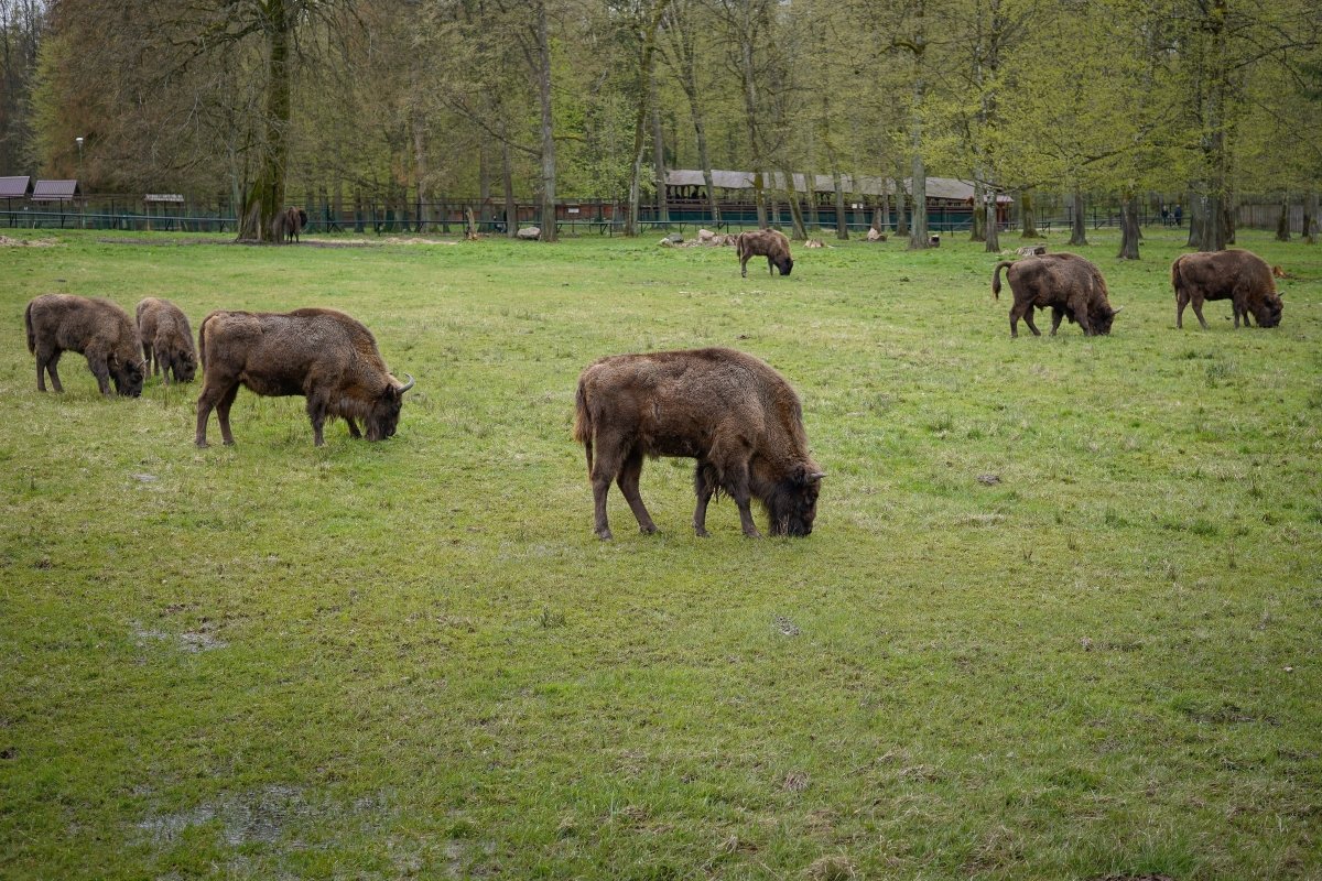
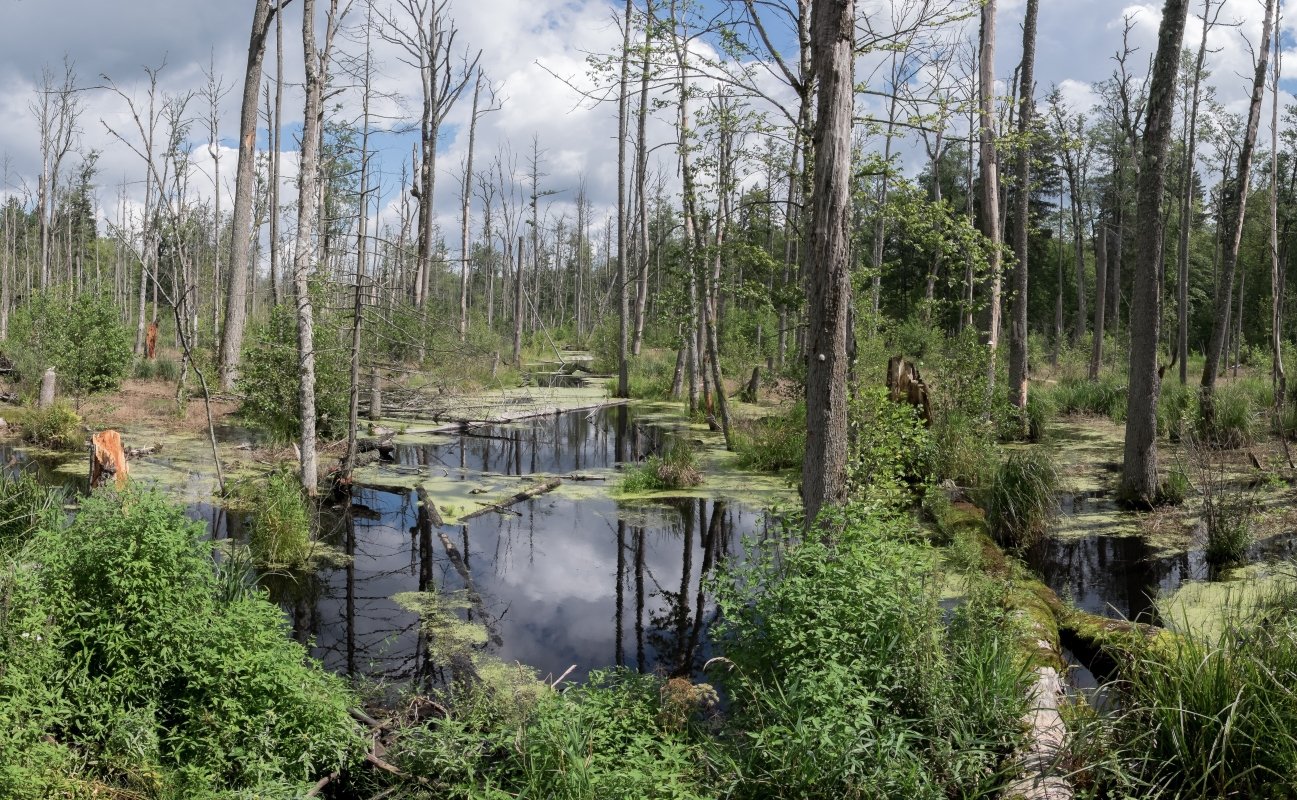
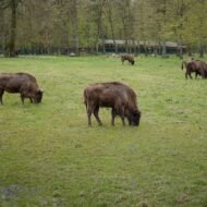
Białowieża Forest completes the picture. The forest — the last substantial remnant of the primeval lowland forest that once covered the European plain — has been a royal hunting ground since 1409, when the Polish king made bison poaching a capital offence. The last wild Polish bison was documented in 1919; the species was subsequently reintroduced from zoo stock, beginning with four animals in 1929. The forest’s Belarusian section — now a UNESCO World Heritage Site shared across the border — was the location of the Belavezha Accords of December 1991, in which the leaders of Russia, Ukraine, and Belarus signed the dissolution of the Soviet Union in a hunting lodge in the trees. The forest that protected the bison ended the USSR.
The densest multi-faith heritage circuit in Poland runs approximately 100 kilometres from Białystok: Kruszyniany (Tatar mosque), Bohoniki (Tatar mosque and Muslim cemetery), Supraśl (Orthodox monastery), Grabarka (Orthodox pilgrimage), and Tykocin (restored synagogue and Jewish museum — the Jewish community of Tykocin was murdered by the Nazis in August 1941). The wooden vernacular architecture throughout — carved planks at house corners and window surrounds, painted in contrasting colours — is the same tradition used for mosques, Orthodox churches, and Catholic chapels alike: a visual interfaith unity that is unique in Poland and goes entirely unremarked in English travel writing.
Access: Białystok is the regional hub (trains from Warsaw, approximately 2 hours). Kruszyniany Mosque is 50 km from Białystok by car; no direct public transport. Bohoniki Mosque is 35 km from Białystok. Grabarka Holy Mount: 65 km south of Białystok (check Orthodox calendar for pilgrimage dates). Supraśl Monastery: 16 km from Białystok, reachable by bus. Białowieża National Park: 55 km east; bus from Hajnówka (trains to Hajnówka from Białystok).
→ Podlasie and the Polish borderland mapped in the full guide: Hidden Europe — The Beyond the Map Map
3. Dalarna — Where Sweden Invented Itself
GPS anchor: Siljan Ring viewpoint / Lake Siljan, 60.883°N, 14.800°E — Dalarna County, Sweden
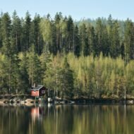
Lake Siljan exists because an asteroid struck this part of central Sweden 376.8 million years ago. The impact — from a rock approximately 5 km in diameter — created a crater 52 km across, one of the fifteen largest confirmed impact structures on Earth. Over hundreds of millions of years the crater filled with rock softer than its surroundings; when the ice ages came, glaciation preferentially eroded that softer crater-fill, carving the hollow now occupied by the lake and the river valleys around it. English travel writing describes Lake Siljan as picturesque. It is the scar of a planetary collision, still active as a deep biosphere research site where microbes are producing methane in fractures 80 million years old.
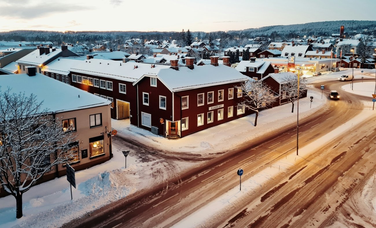
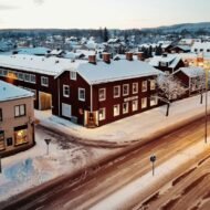
The lake is surrounded by the villages — Leksand, Rättvik, Mora, Orsa — that form the cultural heartland of Swedish national identity. Dalarna is the place Swedish nationalism reached for when it needed to show what Sweden was: the folk painting tradition called Dalmålning, the carved wooden horse that became the country’s most recognised souvenir, the midsummer celebrations that are the standard image of a Swedish summer. But the standard English account of each is wrong, or incomplete, in ways that make the reality more interesting.
The Dalecarlian horse (Dala-häst) did not originate in Nusnäs, where the most famous workshop now operates. The documented origin is Bergkarlås, with parallel production in Risa, Vattnäs, and Nusnäs — all within the Mora parish. The first sale records date to 1623. The horse was a children’s toy, carved by farmworkers during the long winter months. The technique’s inventor, Stikå Erik Hansson of Risa, emigrated to Nebraska in 1887 and died there. The horse did not become a national symbol until the 1937 Paris World’s Fair, when Swedish pavilion organisers chose a large Dala horse as the country’s emblem — a decision made by exhibition curators, not by tradition. The horse is an invented tradition, 90 years old, presented as if it were ancient.
Dalmålning — the Dalarna folk painting style — is more precisely understood as Biblical visual catechism for a pre-literate peasant population. The itinerant painters who worked the farmhouses and churches of the 18th century — named artists include Winter Carl Hansson of Yttermo and Back Olof Andersson — produced a specific iconographic programme: Jonah and the whale, the Wedding at Cana, the Queen of Sheba, and the Three Wise Men, surrounded by fantastical gourd plants the poet Karlfeldt named kurbits in 1927 (from the Latin Cucurbita). Over 140 surviving examples of specific compositions have been catalogued. Visitors see it as decoration. It is peasant Biblical narrative, painted on walls and paper hangings because these communities had no access to printed books.
The Gustav Vasa route is mappable. In the winter of 1520–1521, Gustav Vasa was a young fugitive, rallying support against Danish rule through the Dalarna villages. He was turned away at Rankhyttan. He sheltered at Ornäs, where a woman defied her husband to warn and equip him — she is named in the 1560 chronicle by Peder Svart. At Mora, after news arrived of the Stockholm Bloodbath in November 1520 — when the Danish king executed 82 Swedish nobles and bishops — the Dalarna men agreed to follow him. The Vasaloppet ski race commemorates the route of the skiers sent after him to bring him back when it seemed he might give up: 90 km from Sälen to Mora, first raced on 19 March 1922 (won by Ernst Alm in 7 hours 32 minutes 49 seconds). It is now the world’s largest cross-country ski race, with 16,000 participants. The history behind it — a dynasty founded by a borderland fugitive, turned back at the door of a farmhouse where a woman made the decision that changed the course — is told almost nowhere in English.
Access: Train from Stockholm to Mora (approximately 3.5 hours direct, or change at Borlänge). Leksand and Rättvik are on the same line. The Zorn Museum in Mora (Anders Zorn’s collection, open year-round) is the best single cultural anchor. Nusnäs Dala horse workshops (Grannas A. Olsson, open Mon–Fri year-round, Sat–Sun in summer) are 7 km from Mora. No public transport to Nusnäs; taxi or bicycle from Mora.
→ Dalarna and the Swedish cultural heartland mapped: Hidden Europe — The Beyond the Map Map
4. Courland — The Duchy That Colonised Two Continents
GPS anchor: Rundāle Palace, 56.413°N, 24.025°E — Bauska Municipality, Latvia
On 20 May 1654, a ship called Das Wappen der Herzogin von Kurland — the Arms of the Duchess of Courland — dropped anchor off the island of Tobago in the Caribbean. It was carrying 25 officers, 124 soldiers, and 80 colonist families. They built a fort called Fort Jacobus and a settlement they named Jacobsstadt. By 1658, the colony had approximately 1,200 inhabitants. The island they had claimed was called New Courland.
The Duchy of Courland and Semigallia — the territory now covered by western Latvia — had a population of approximately 200,000 people. It was a vassal state of the Polish-Lithuanian Commonwealth. Its duke was Jacob Kettler, born in Kuldīga on 28 October 1610, who had studied shipbuilding in Amsterdam in 1634 and returned with ambitions that bore no relation to the size of his territory. Three years before the Tobago colony was established, Courland had sent Major Fock to the mouth of the Gambia River in West Africa, where he built Fort Jacob on St Andrews Island in 1651. The duchy was simultaneously extracting ivory, gold, and furs from West Africa and establishing a Caribbean colony — two continents, one small Baltic duchy. Duke Jacob also wrote to Pope Innocent X proposing to conquer Australia with a fleet of forty warships. The Pope declined.
The English seized Fort Jacob in the Gambia in 1661, renaming it Fort James. The Caribbean colony held on longer — Tobago changed hands intermittently between Courland, England, France, and the Netherlands for the rest of the 17th century. Duke Jacob himself was captured by Sweden in 1658 and held for two years, during which both colonies collapsed. He returned to find his empire gone; he died in Jelgava on 1 January 1682. The place names he left survive in Tobago today: Great Courland Bay, Jacobs Bay, Libau Bay. A Courland Monument still stands near Courland Bay on the island. Nothing in Latvia marks what happened in the Caribbean and on the Gambia. The connection appears in no English travel writing about Latvia.
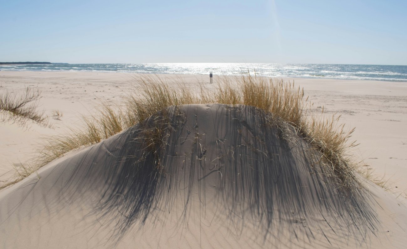
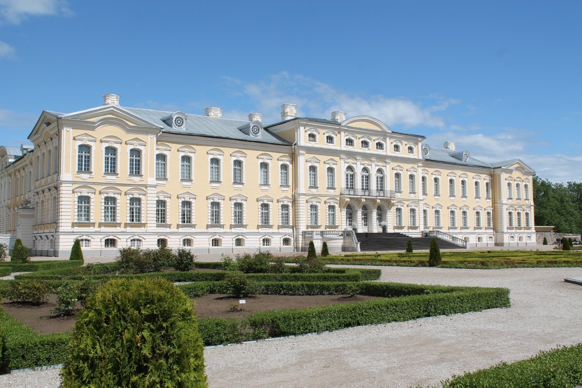
What the duchy left behind in Kurzeme is substantial. Rundāle Palace — built 1736–1768 by Bartolomeo Francesco Rastrelli, the same architect who designed the Winter Palace in St Petersburg — was commissioned by Duke Ernst Johann Biron as his summer residence. It has 138 rooms, formal gardens, and a gold-and-white baroque state hall that belongs in the same conversation as the great palaces of Central Europe and is visited by a fraction of their audiences. The Livonian Order fortresses that predate the duchy still stand: Ventspils Castle, built in the 13th century, now houses the city museum; Bauska Castle ruins anchor the town at the confluence of two rivers. The coastal landscape of Kurzeme — clay cliffs at Jurkalne, the cape at Kolka where the Baltic Sea meets the Gulf of Riga, wild horses at Pape nature reserve, amber beaches — was a Soviet military exclusion zone, which is why it retains a character the rest of the Latvian coast lost to Soviet-era development. The Venta waterfall at Kuldīga, at 249 metres, is billed as the widest waterfall in Europe. Duke Jacob was born in Kuldīga. The town is almost entirely unknown outside Latvia.
Access: Rundāle Palace: 80 km south of Riga by car (no direct public transport from Riga; bus to Bauska, then taxi 14 km). Open year-round; summer hours 10:00–18:00 (museum), gardens 10:00–19:00 (20:00 Fri–Sun June–August); winter 10:00–17:00; closed 1 January and 24–25 December. Ventspils: 190 km from Riga (bus approximately 3 hours). Kuldīga: 150 km from Riga (bus approximately 2 hours).
→ Courland and the Latvian western coast in depth: Hidden Europe — The Beyond the Map Map
5. Samogitia — The Last Pagans of Europe
GPS anchor: Hill of Crosses (Kryžių kalnas), 56.015°N, 23.416°E — near Šiauliai, Lithuania
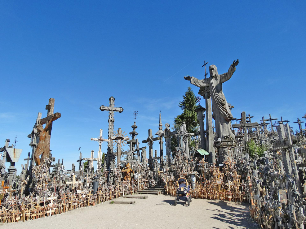
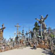
In the summer of 1961, Soviet workers bulldozed a hill in western Lithuania. The hill was covered with crosses — approximately 5,000 of them, placed by Lithuanians since at least the 1850s to mourn the dead of the 1831 and 1863 uprisings against Russian imperial rule. The workers burned the wooden crosses, sent the iron ones to scrap, and buried the stone ones. They flooded the hill. The hill dried. Lithuanians brought more crosses. The Soviets bulldozed again in 1973 and again in 1975. Each time, Lithuanians returned in the night and rebuilt, under surveillance, at political risk. In 1985 the Soviet authorities abandoned the effort. By the time Pope John Paul II visited on 7 September 1993, there were more than 100,000 crosses on the hill. Today the number exceeds that figure; no authoritative count has been made.
The Hill of Crosses is the most famous site in Samogitia (Žemaitija) — the western upland region of Lithuania that held out longer against external authority than any other territory in Europe. The Teutonic Knights and the Livonian Order spent over a century trying to Christianise this landscape; the Samogitians defeated them at the Battle of Durbe in 1260 — the largest Teutonic defeat in the 13th century, in which approximately 150 knights were killed including the Livonian Master — and continued resisting for another 153 years. The formal Christianisation of Samogitia came in 1413, making it the last pagan territory in Europe to be converted. The resistance lasted 162 years from the first serious missionary attempt.
In the Russian Empire census of 1897, 448,022 people declared themselves Samogitian — not Lithuanian. In the Lithuanian census of 2011, 2,169 did. The collapse measures what Lithuanian nationalist consolidation did to sub-national regional identities across the 20th century. Samogitian identity did not disappear: the Žemaičių Kultūros Draugija (Samogitian Cultural Society), founded in 1988, has thousands of members; informal “Samogitian passports” have been issued to several thousand people who hold Lithuanian citizenship but identify their homeland separately. The Samogitian dialect received its own ISO 639-3 language code (sgs) in 2010 — internationally recognised as a distinct variety at a moment when Lithuanian linguistic policy treats it as a dialect. Roadsigns in Samogitia appear in both Lithuanian and Samogitian spelling. The dialect is different enough that a standard Lithuanian speaker cannot follow it easily.
The landscape is one of lakes, forested hills, and a low-scale wooden vernacular architecture distinct from the rest of Lithuania. Žemaitija National Park — which also contains the Plokštinė Soviet missile base described in the Cold War Baltics article in this series — centres on Lake Plateliai, the largest lake in Samogitia. The pilgrimage town of Žemaičių Kalvarija, with its baroque church and circuit of 19 chapels built across the town’s hills, draws Orthodox and Catholic pilgrims; the Alka hill near Mikytai is a documented pagan sacred site. In Plateliai, carved Shrovetide masks have been made since the 18th century; competitions have run since 1996. The Jewish heritage of the region — the Memorial Garden of Litvaks in the national park area — documents a community that was almost entirely murdered between 1941 and 1944, another layer of Samogitia’s stratigraphic record almost entirely absent from English accounts.
Access: Šiauliai (nearest city to the Hill of Crosses) is reachable by train from Vilnius (approximately 2.5 hours) and Riga (approximately 2 hours). The Hill of Crosses is 12 km north of Šiauliai; bus service available. Telšiai (Samogitian regional capital, GPS approximately 55.986°N, 22.249°E): bus from Vilnius approximately 3.5 hours. Lake Plateliai and Žemaitija National Park: 30 km from Telšiai by car.
→ Samogitia, the Plokštinė missile base, and the Cold War Baltics route: Lost Soviet Sites of the Baltics — Beyond the Map
→ The full Samogitian heritage and landscape guide: Hidden Europe — The Beyond the Map Map
What the Paid Guide Contains
This article is an introduction. Five regions, five identity stories, the physical evidence of each — but each section opens territory that requires more than a pillar article can hold.
The Beyond the Map Forgotten Regions Guide is a five-part premium series:
Part 1 — Ruthenia: The complete wooden church circuit in the Slovak Prešov Region and Polish Bieszczady. GPS, visiting logistics, and interior access notes for all eight UNESCO churches and the major non-listed examples. The Thalerhof story in full. The Rusyn cultural recovery in numbers. The frontier landscape between Slovakia, Poland, and Ukraine — what the border looks like from each side.
Part 2 — Podlasie: The full multi-faith circuit from Białystok. GPS and access notes for both Tatar mosques, the Grabarka pilgrimage calendar, the Supraśl monastery, and the wooden church villages. The Białowieża Forest in depth — the bison reintroduction story, the forest sections open to independent walking versus those requiring a guide, and the specific Belavezha location where the USSR was signed out of existence.
Part 3 — Dalarna: The Gustav Vasa route mapped village by village. The Siljan Ring geology for non-specialists. The Dalmålning artists and their surviving work — where to see the best examples in situ. The midsummer calendar: which village events welcome visitors and which deliberately exclude them. The church boat race at Rättvik: history, watching points, and booking.
Part 4 — Courland: Duke Jacob Kettler’s colonial enterprise in full — the ships, the forts, what was traded, how both colonies ended. The Tobago place names and the surviving Courland Monument. The Rundāle Palace in depth — the state rooms, the gardens, the restoration story. The Livonian Order castle network across Kurzeme. The coastal exclusion zone landscape: Kolka, Jurkalne, Pape, and the amber shoreline.
Part 5 — Samogitia: The Hill of Crosses in full — the three Soviet demolitions, the nighttime rebuilding, the cross count across time. The Samogitian dialect guide for visitors: what to recognise, which phrases identify you as someone who knows where they are. The pagan site network. The Žemaitija National Park beyond the missile base: lakes, villages, the Litvak memorial landscape, the Shrovetide mask tradition.
These are regions where the map ran out of interest. The history did not.
Planning the forgotten regions route:
→ Hidden Europe — The Beyond the Map Map All five regions mapped alongside the full network of overlooked places across the continent.
→ Lost Soviet Sites of the Baltics — Beyond the Map The Plokštinė missile base in Žemaitija National Park — the Cold War layer beneath the oldest pagan landscape in Europe.
→ Lost Cold War Sites of the Balkans — Beyond the Map The same century, further south — five Cold War installations in Bosnia, Albania, Bulgaria, Croatia, and Greece.
→ Overland & Campervan in the Balkans — The Beyond the Map Road Guide For when the forgotten regions route extends south into the Balkans.
→ Autumn Photography in Europe — The Beyond the Map Premium Guide The wooden churches of Ruthenia in October. The Siljan Ring birches in November. The Hill of Crosses in winter fog.