Scotland has 790 islands. 93 of them are permanently inhabited. The ferry network that connects them — operated almost entirely by Caledonian MacBrayne, known as CalMac — is one of the most extraordinary public transport systems in Europe: a network of 50 routes serving 50 destinations across the west coast and the islands, running year-round in conditions that would ground ferries in the Mediterranean.
- Three routes — one extraordinary archipelago
- The islands — already documented
- Canna: The Hebridean Island That Confuses Compasses
- Easdale: Where Scotland’s Slate Industry Sank Overnight
- Hirta: The Island Britain’s Last Community Left in 1930
- North Uist: The Scottish Island That Is Mostly Water
- The practical foundation — CalMac
- The Island Hunter collection — Scotland
The Scottish islands are not a Mediterranean island destination with cold water. They are something completely different — ancient geology, Norse and Celtic heritage, extraordinary seabird colonies, whisky distilleries producing the most distinctive spirits in the world from peat and Atlantic rain, and landscapes of extraordinary wildness that have been shaped by forces older than any human settlement on them.
Island hopping Scotland requires a different approach from the Cyclades or the Dalmatian coast. The islands are further apart. The weather is genuinely variable — extraordinary clear days alternating with Atlantic squalls that are not a problem to be managed but a condition of the landscape. The ferries run to timetables that CalMac maintains with extraordinary reliability given what the Minch and the Sound of Islay ask of their vessels in winter.
The reward is something that the Mediterranean cannot offer — island landscapes that feel genuinely remote within two hours of Glasgow, seabird colonies of extraordinary scale, and communities that have maintained Gaelic language and island culture through centuries of pressure from the mainland.
The Wanders covers Scotland’s islands across three distinct routes. Each one is a complete journey in itself.
Three routes — one extraordinary archipelago
Route I — The Inner Hebrides
Oban → Mull → Iona → Staffa → Islay → Jura → Colonsay → Oban
The most accessible Scottish island route and the most concentrated in extraordinary individual sites. The Inner Hebrides chain moves southwest from Oban — the gateway town on the Argyll coast, two hours by train from Glasgow — through islands of completely different characters connected by the CalMac network.
Mull — the second largest Hebridean island, extraordinary for the extraordinary white-sanded Calgary Bay, the medieval Duart Castle on its headland above the Sound of Mull and the extraordinary Tobermory harbour of coloured houses that has been one of the most photographed small town waterfronts in Scotland since the BBC’s Balamory used it as its filming location. Mull is the transit island — take the ferry from Craignure and cross to Fionnphort for the Iona crossing.
Iona — the most sacred island in Scotland. The 6th century monastery of St Columba, founded in 563 AD, from which Christianity spread across Scotland and northern England. The extraordinary white marble quarry on the island’s southern tip. The Iona Community — a living ecumenical community maintaining the monastic tradition in the restored abbey. The Sound of Iona at low tide — extraordinary turquoise water over white sand in a setting that has drawn pilgrims for 1,500 years. One day minimum. Two days if you want to understand why people have been crossing to Iona since the Dark Ages.
Staffa — accessible only by private boat from Fionnphort or Iona, weather permitting. The extraordinary island of columnar basalt — the same hexagonal geological formation as the Giant’s Causeway in Northern Ireland, formed by the same volcanic event approximately 60 million years ago. Fingal’s Cave — the extraordinary sea cave of columnar basalt columns rising 20 metres from the Atlantic, whose extraordinary acoustic properties inspired Felix Mendelssohn to write the Hebrides Overture in 1829 after visiting the island. The puffin colony on the island’s summit plateau — extraordinary in May and June when the birds are nesting. Staffa visits last 90 minutes. They are among the most extraordinary 90 minutes available in the British Isles.
Islay — the whisky island. Eight operating distilleries producing the most distinctive whiskies in Scotland — the heavily peated Laphroaig, Lagavulin and Ardbeg on the southern coast, the more delicate Bowmore in the island’s centre, the innovative Bruichladdich on the western shore. The whisky exists because of the island’s extraordinary geology — the deep peat bogs that provide the fuel for malting, the abundant fresh water from the Bowmore springs and the Atlantic air that matures the spirit in casks stored in warehouses open to the sea wind. Three days minimum on Islay. One distillery per day — the distilleries offer tours of extraordinary quality and the dram at the end is the best possible conclusion to any morning.
Jura — accessible by a small car ferry from Port Askaig on Islay, a 5-minute crossing. The most extraordinary deer island in Scotland — 6,000 red deer, 200 people, the Paps of Jura (three quartzite mountains of extraordinary profile visible from across the western Hebrides) and the extraordinary Corryvreckan whirlpool at the northern tip — the third largest whirlpool in the world, audible from the shore in full flow. George Orwell wrote Nineteen Eighty-Four on Jura in 1948, in an isolated farmhouse at the island’s northern end accessible only by an extraordinary single-track road. Two days on Jura is enough — one day walking the Paps approach, one day driving to the north.
CalMac routes and timings:
Oban          → Craignure (Mull)    45 min  · multiple daily
Fionnphort    → Iona                5 min   · frequent
Fionnphort    → Staffa              private operators · weather dependent
Kennacraig    → Port Askaig (Islay) 2 hrs   · 2 daily
Port Askaig   → Feolin (Jura)       5 min   · frequent
Scalasaig     → Oban (Colonsay)     2.5 hrs · limited
Full Inner Hebrides route guide: coming soon →
Route II — The Outer Hebrides
Ullapool → Stornoway (Lewis) → Harris → North Uist → Benbecula → South Uist → Barra → Oban
The Long Island — the extraordinary chain of islands extending 210km from the Butt of Lewis in the north to Barra Head in the south — is the most extraordinary island landscape in Britain. The Outer Hebrides are connected by causeways between some islands and by CalMac ferries between others, making a complete north-to-south journey possible by a combination of ferry and road.
Lewis and Harris are a single island — the largest island in the British Isles after Ireland and Great Britain — divided by a mountain range into two distinct cultural and geographical territories. Lewis in the north is the Gaelic heartland — the extraordinary Callanish Standing Stones (3000 BC, predating Stonehenge, an extraordinary cruciform arrangement of 50 standing stones on a promontory above Loch Roag), the extraordinary black houses of the Gearrannan Blackhouse Village preserved as a living heritage site, the extraordinary Harris Tweed industry still weaving on handlooms in private homes across the island.
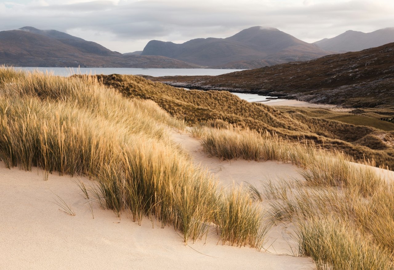
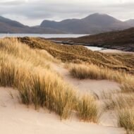
Harris in the south is the machair island — the extraordinary Luskentyre Beach, consistently rated among the most beautiful beaches in Europe, its extraordinary turquoise water and white shell sand in complete contrast to the dark peat moorland of the Lewis interior 30km to the north.
North Uist: The Scottish Island That Is Mostly Water
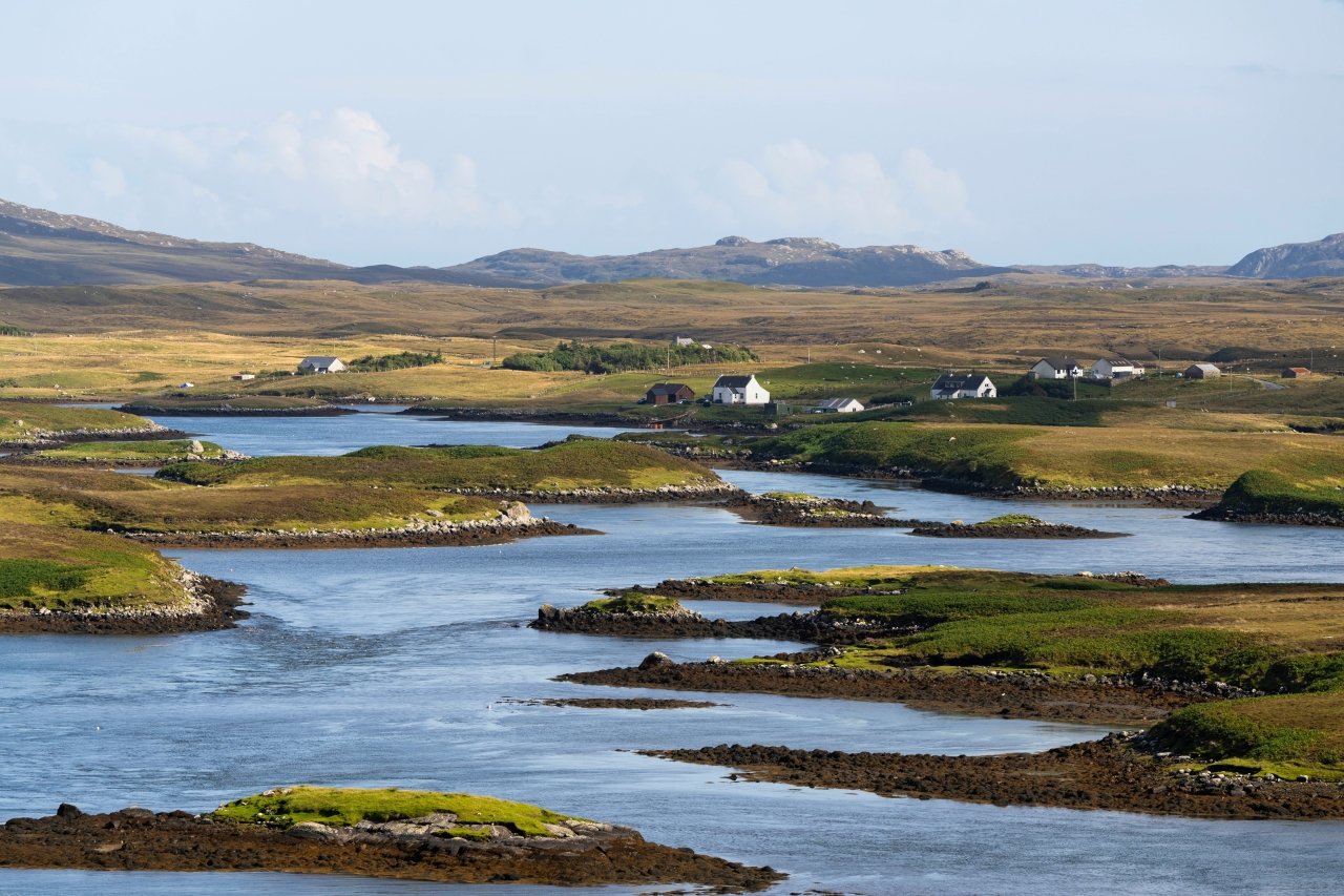
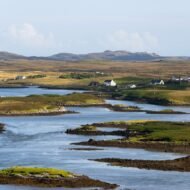
North Uist is 60% water — an extraordinary network of freshwater lochs covering more of the island’s surface than the land itself. The extraordinary machair grassland on the western coast — a rare coastal habitat found only on the northwestern fringes of Scotland and Ireland, carpeted with wildflowers from May to August — is the most biodiverse grassland in Europe per square metre. The Pobull Fhinn stone circle and the Barpa Langass chambered cairn (3500 BC) make North Uist one of the most archaeologically significant islands in the Outer Hebrides. The island’s Gaelic language community — one of the last living Gaelic-speaking communities in Scotland — gives North Uist a cultural depth that the standard Outer Hebrides itinerary, which rushes south toward Barra, consistently misses.
Read the full article: North Uist — The Scottish Island That Is Mostly Water →
Barra — the southernmost inhabited island in the Outer Hebrides chain, accessible by ferry from South Uist or by the extraordinary scheduled flight that lands on Traigh Mhòr — the Cockle Strand beach, the only beach airport in the world where the runway disappears at high tide. Kisimul Castle on its islet in Castlebay harbour. The extraordinary machair of the western shore. The ferry from Barra back to Oban is a 5-hour crossing of the extraordinary open Atlantic approaches to the Scottish west coast.
Full Outer Hebrides route guide: coming soon →
Route III — Orkney and Shetland
Aberdeen or Scrabster → Stromness or Lerwick → Orkney islands → Shetland islands
The northern archipelagos — Orkney and Shetland — are a completely different island world from the Hebrides. Norse rather than Celtic. Flat rather than mountainous. The most extraordinarily preserved Neolithic landscape in Europe rather than the most extraordinarily dramatic mountain scenery.
Orkney has been continuously inhabited for 5,500 years. The extraordinary concentration of Neolithic monuments — Skara Brae (the most complete Neolithic village in northern Europe, preserved under sand dunes for 4,500 years until a storm exposed it in 1850), the Ring of Brodgar (a stone circle of extraordinary scale on a narrow isthmus between two lochs), Maeshowe (a chambered cairn of extraordinary precision, built so that the midwinter sunset illuminates its inner chamber directly through the entrance passage) — makes Orkney the most significant Neolithic territory in Europe outside Malta. All three are UNESCO World Heritage Sites. All three are within 10km of each other on the Orkney Mainland.
Shetland — another 90 nautical miles north of Orkney — is the most northerly territory in the British Isles, at the same latitude as Bergen in Norway. The extraordinary cliffs of Hermaness at the northern tip of Unst (the most northerly island in Britain) support the most important seabird colony in Britain — 100,000 gannets, puffins, skuas and guillemots on a headland above the open North Sea. The Up Helly Aa fire festival in Lerwick each January — the largest fire festival in Europe, in which 1,000 guizers in Viking costume drag a longship through the streets and burn it — is one of the most extraordinary Living Traditions in the British Isles.
Full Orkney and Shetland route guide: coming soon →
The islands — already documented
Canna: The Hebridean Island That Confuses Compasses
Small Isles, Inner Hebrides · National Trust for Scotland
Canna is the westernmost of the Small Isles — a tiny island of 20 permanent inhabitants owned by the National Trust for Scotland since 1981, car-free, accessible by ferry from Mallaig. The extraordinary Compass Hill at the island’s northeastern tip contains enough magnetic rock to affect compass readings on passing vessels — one of the most remarkable geological curiosities in the British Isles. The island’s extraordinary seabird colony — puffins, Manx shearwaters, corncrakes — makes it one of the most important seabird islands in the Inner Hebrides. The extraordinary Viking-age carved stone at A’ Chill is the most significant early medieval monument on the Small Isles.
Read the full article: Canna — The Hebridean Island That Confuses Compasses →
Easdale: Where Scotland’s Slate Industry Sank Overnight
Slate Islands, Argyll · Gateway to the Inner Hebrides
Easdale is an extraordinary small island of 60 permanent inhabitants in the Slate Islands of Argyll — at its industrial peak in the 19th century producing 9 million roofing slates per year for buildings across Britain and the Empire. The industry ended in a single night in 1881 when a catastrophic storm flooded all the island’s quarries simultaneously — the machinery left behind in the flood is still visible in the extraordinary dark quarry pools that now define the island’s landscape. The island is accessible by a small passenger ferry from Seil Island — itself connected to the mainland by the Clachan Bridge, known as the Bridge Over the Atlantic. The World Stone Skimming Championships — held annually in the flooded quarries using Easdale slate — is one of the most extraordinary sporting events in Scotland.
Read the full article: Easdale — Where Scotland’s Slate Industry Sank Overnight →
Hirta: The Island Britain’s Last Community Left in 1930
St Kilda Archipelago, Outer Hebrides · UNESCO World Heritage
Hirta is the largest island of the St Kilda archipelago — the most remote island group in the British Isles, 64km west of the Outer Hebrides in the open Atlantic. The last 36 St Kildans evacuated voluntarily in 1930 after nearly 2,000 years of continuous habitation — leaving behind the most extraordinary abandoned village landscape in Britain. The street of stone houses. The cleits — extraordinary dry-stone storage structures unique to St Kilda. The ancient burial ground. The one million seabirds including the largest gannet colony in the world.
St Kilda is one of only 39 UNESCO sites worldwide to hold simultaneous natural and cultural World Heritage designation. Hirta is accessible only by organised boat trip from the Outer Hebrides — typically from Leverburgh on Harris — subject to Atlantic weather conditions that cancel crossings without notice. That uncertainty is not an inconvenience. It is the condition of visiting an island that the weather has always controlled more completely than its inhabitants ever could.
Read the full article: Hirta — The Island Britain’s Last Community Left in 1930 →
North Uist: The Scottish Island That Is Mostly Water
Outer Hebrides, Scotland · Gaelic language stronghold
Already featured above in Route II — the complete North Uist article covers the extraordinary machair landscape, the 60% water geography, the Neolithic stone circles and chambered cairns and the living Gaelic language community in full editorial depth.
The practical foundation — CalMac
Every route described above runs on the Caledonian MacBrayne ferry network — the most extraordinary public ferry system in Europe. CalMac operates 50 routes, serves 50 destinations, runs year-round and maintains a reliability record that the Adriatic and Aegean operators cannot match in comparable weather conditions.
Booking: calmac.co.uk · Book vehicle spaces in advance for July and August on all routes · Passenger tickets available on the day for most crossings · Island Rover tickets give unlimited CalMac travel for 8 or 15 days at significant discount — the most cost-effective way to island hop the Inner or Outer Hebrides
The Hopscotch tickets: CalMac offers pre-packaged combinations of specific ferry crossings at reduced rates — the Hopscotch routes are designed for island hopping and cover the most popular multi-island combinations. Check the CalMac website for current Hopscotch options before booking individual crossings.
Weather: Scottish west coast weather affects ferry services. Crossings to Staffa and St Kilda are the most weather-dependent — both can be cancelled at 24 hours notice in strong winds. Build flexibility into any itinerary that includes either island.
Scottish Island Ferry Guide — coming soon
Complete CalMac timetables, Hopscotch ticket guidance, NorthLink Ferries for Orkney and Shetland, and practical logistics for all three routes described above.
The Island Hunter collection — Scotland
| Island | Route | Character | Article |
|---|---|---|---|
| Canna | Inner Hebrides | Car-free · Seabirds · Compass Hill | Published |
| Easdale | Inner Hebrides | Industrial · Flooded quarries | Published |
| Hirta / St Kilda | Outer Hebrides | UNESCO · Abandoned · Remote | Published |
| North Uist | Outer Hebrides | Machair · Gaelic · 60% water | Published |
| Staffa | Inner Hebrides | Fingal’s Cave · Basalt · Puffins | Commissioning |
| Orkney | Northern route | Neolithic · Ring of Brodgar | Commissioning |
| Islay | Inner Hebrides | Whisky · Eight distilleries | Commissioning |
Scotland’s islands are part of The Wanders Island Hunter collection — European islands that reward the decision to take the ferry. The three complete Scottish route guides are in production and will be published here as each route is documented in full.