There is a category of European place that exists fully — with deep history, extraordinary landscapes, and a weight of human experience — but has simply not been translated into the English travel conversation. Not because it is inaccessible. Not because it is dangerous or difficult. But because the travel industry runs on established routes, and these places are not on them.
Moldova’s oldest monastery, active since 1429, holds the oldest dated embroidery in the country and the tomb of a metropolitan who shaped Orthodox history across two continents. The Lemko landscape of southeastern Poland is a cultural palimpsest: wooden Greek Catholic churches standing in villages whose inhabitants were forcibly deported in 1947, their iconostases intact because the buildings were useful to the settlers who replaced them, the communities gone. Slovakia’s highest Low Tatra peak carries medieval mine traces, a WWII resistance narrative, and an annual military commemorative climb to its summit. A Swedish village above the Arctic Circle is the only access point to the largest wilderness in the country — a UNESCO World Heritage landscape that most Europeans cannot name. A Romanian river gorge has 36 tunnels and 25 viaducts in 31 kilometres, connects a wild national park directly to the landscape of post-communist political collapse, and is known to almost no one outside Romania.
Five places. Five different kinds of absence from the map. All of them real, all of them accessible, all of them worth the journey.
1. Căpriana Monastery, Moldova — The Oldest House in the Country
GPS: 47.117°N, 28.511°E — Strășeni District — 35 km west of Chișinău
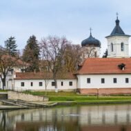
The document is dated 10 February 1429. Alexandru cel Bun — Alexander the Good, Prince of Moldova — issued a princely act granting royal monastery status to a foundation in the Codri forest, donating it along with several villages to his wife, Princess Marena. The abbot at the time was named Chiprian; the monastery took his name. It has been continuously active, in one form or another, for nearly six centuries. No other monastery in Moldova has authenticated founding records that predate it.
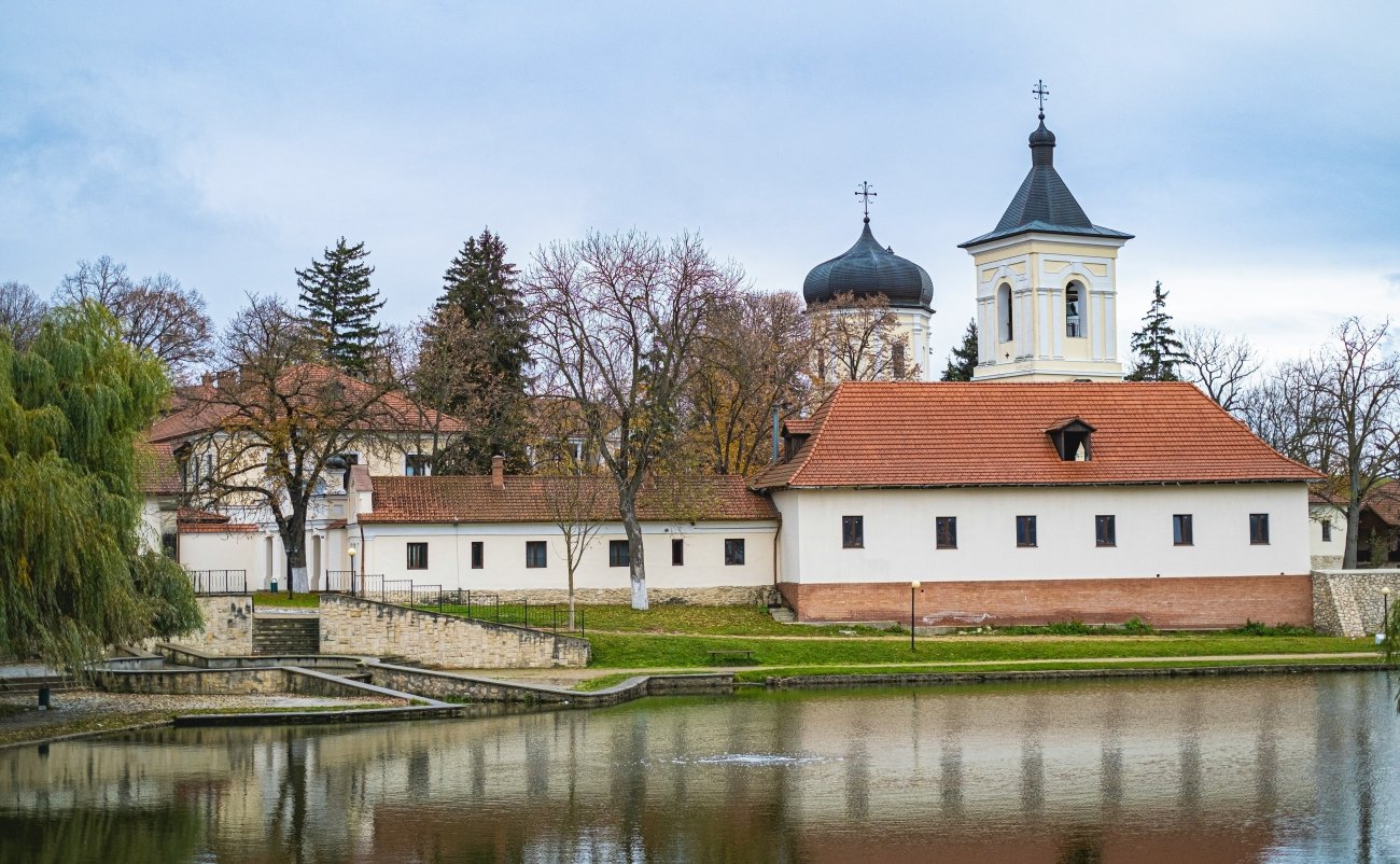
The setting is the Codri — a landscape of rolling oak forest in central Moldova, one of the few surviving remnants of what was once a vast Moldavian forest zone. In Romanian, codru means deep forest; it carries the weight of national myth, appearing in folk poetry and in the earliest Moldavian chronicles as shorthand for an interior landscape that belongs to the people. The monastery sits within a walled compound in a fold of these hills, surrounded by vineyards, beside the Ishnovets River, with the silence of a working monastic community rather than a heritage site.
What is inside the compound is more significant than the setting. Three churches span five centuries of Moldavian ecclesiastical architecture. The oldest — the summer Church of the Dormition — was reconstructed after an 1820 earthquake on foundations that archaeology places at approximately 1425. Stephen the Great repaired the original church after an earthquake in 1471 and commissioned work on the stone structure in the 1490s. A local tradition holds that he rested beneath an ancient oak beside the monastery after a battle; the oak is still standing and is still called Stejarul lui Ștefan cel Mare — Stephen’s Oak. The monastery appears on the one-lei banknote.
Inside the library — historically the largest monastic library in Moldova — are manuscripts from the era of Stephen the Great. In the treasury: an embroidered epitrachelion (a liturgical vestment, the priest’s stole) dated 1427–1431, described as the oldest known embroidery of its type in Moldova. A Slavonic Gospel donated in 1545 by Prince Petru Rareș during his comprehensive reconstruction of the complex. These objects exist; they are not in a national museum. They are in a working monastery in a forest, accessible to visitors who arrive appropriately dressed and ask.
The monastery passed to the Bulgarian Zograf Monastery on Mount Athos in 1698 — a connection that placed a Moldavian foundation within the pan-Orthodox network of the Athonite monasteries for over two centuries. In 1812, when Russia annexed Bessarabia, administrative control shifted again. The Soviet authorities closed it in 1962 and converted the buildings into a sanatorium for children with tuberculosis. Monastic life resumed in 1989, as communist rule collapsed.
In the Church of the Dormition is the tomb of Metropolitan Gavriil Bănulescu-Bodoni — the first metropolitan of the reunified Moldavian and Wallachian Orthodox churches under Russian rule, who died in 1821. His grave is here, in a forest monastery in central Moldova, and is noted in almost no English-language source about the monastery or about him.
English travel writing about Moldova has one subject: Orheiul Vechi, the cave monastery in a limestone cliff above the Răut River, which is photogenic and appears in every list. Căpriana — older, more significant, more richly furnished with historical objects, more deeply embedded in Moldavian national identity — receives almost nothing. The monastery is on the country’s banknote. It is in the forest. Almost nobody outside Moldova knows it is there.
Access: Marshrutke (minibuses) from Chișinău central bus station toward Strășeni; onward connection to Căpriana by local bus or taxi. Journey time approximately 1–1.5 hours. The Codri forest road is winding. Entry to the grounds is free; appropriate dress required (women: head covering and long skirt; men: no shorts). The monastery is active and male. Visitors are received. Organized day tours from Chișinău combine Căpriana with Codri forest wineries.
→ Moldova and southeastern Europe mapped: Hidden Europe — The Beyond the Map Map
2. Krempna, Poland — The Landscape That Was Emptied
GPS: 49.533°N, 21.533°E — Magura National Park, Subcarpathian Voivodeship — 40 km south of Krosno
In the spring of 1947, the Polish communist authorities carried out Operation Wisła: the forced deportation of approximately 140,000 to 150,000 Lemkos and Ukrainians from southeastern Poland to the newly acquired western territories, formerly German lands now emptied of their own population. The stated justification was eliminating the civilian base of the Ukrainian Insurgent Army, which was conducting an active insurgency in the Carpathian borderlands. The real purpose was the erasure of a distinct people and culture from a landscape the new state wanted homogeneous.
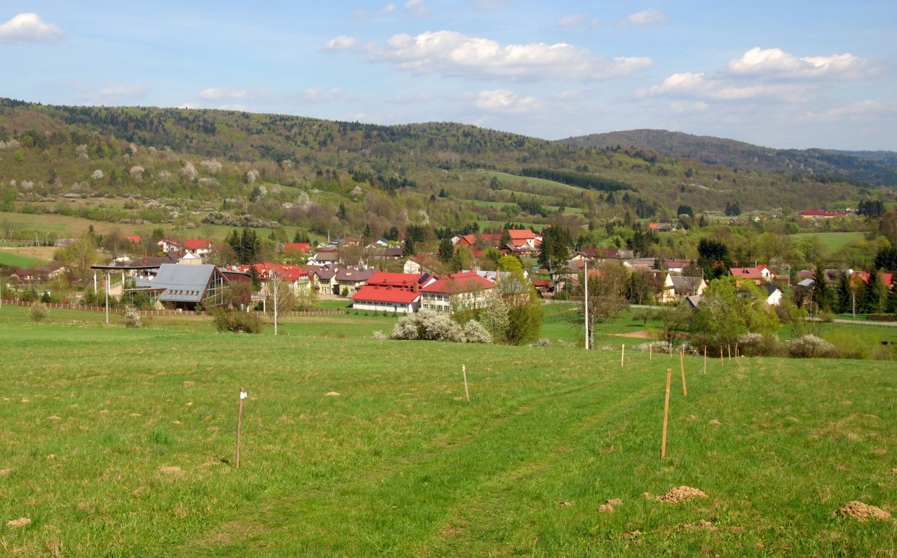
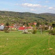
The Lemkos were an Eastern Slavic people — Ruthenian, Rusyn, predominantly Greek Catholic or Orthodox — who had inhabited a stretch of the Carpathians for centuries. Their villages ran through the Low Beskids (Beskid Niski), a range of rounded forested hills between the higher ranges to the east and west. Krempna, the administrative centre of Magurski Park Narodowy (Magura National Park), was a Lemko village. The Greek Catholic inhabitants were deported between April and July 1947 and did not return.
What the deportations produced — accidentally, irrevocably — was a landscape of extraordinary historical texture that is now partially rewilded and almost entirely unvisited by international travellers.
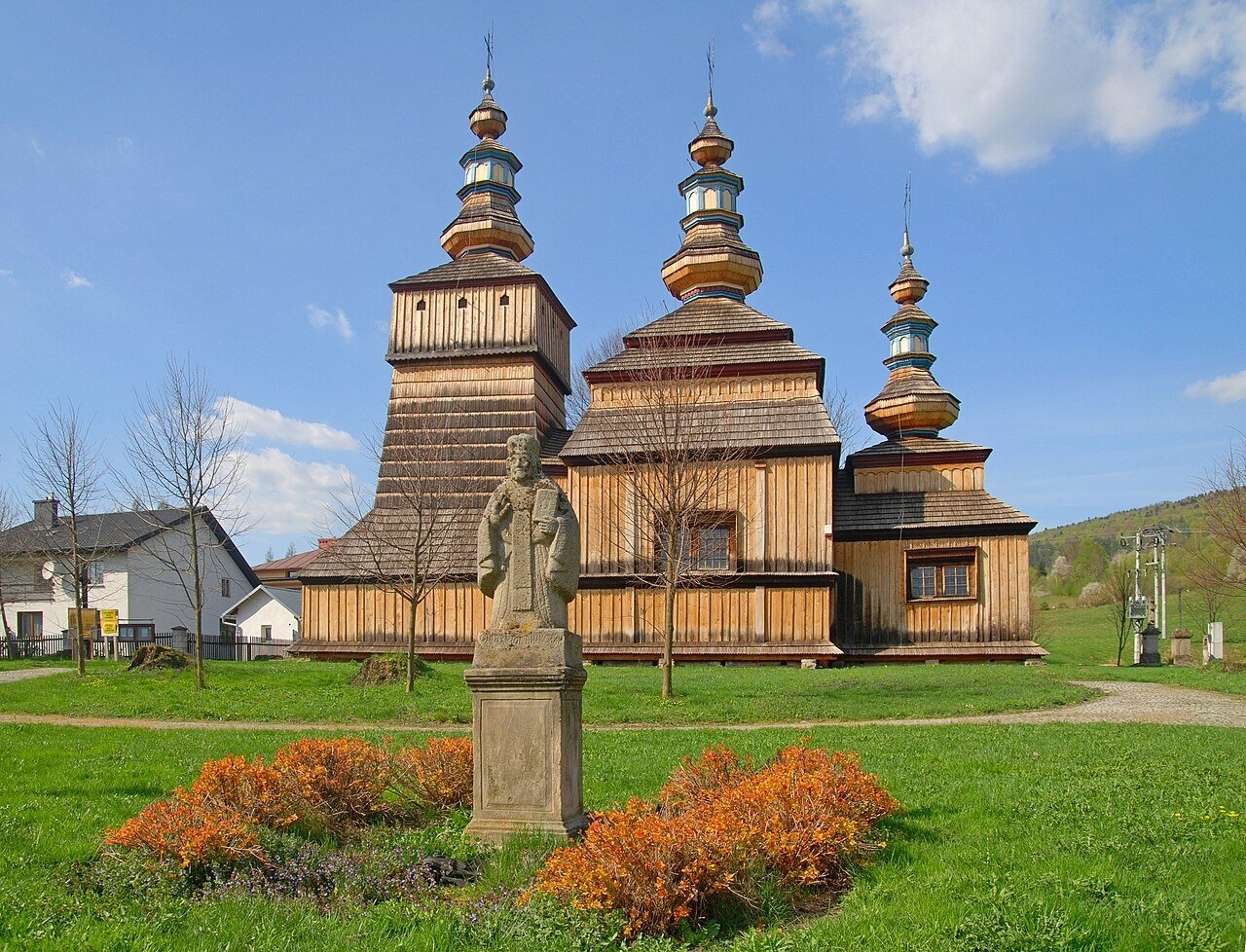
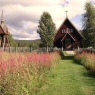
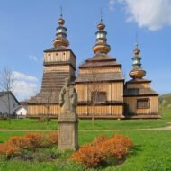
The wooden Lemko churches (cerkwie) are still standing. The three-part Greek Catholic church of Saints Cosmas and Damian in Krempna — built in the 1770s, its characteristic Lemko pyramid-roofed towers intact — was taken over by Roman Catholic settlers after the deportations and continues to function as a Roman Catholic church. Its 1835 iconostasis is inside. A 17th-century Deesis arrangement survives. The building is used; its congregation is not the one that built it; the objects inside belong to a community that no longer exists here.
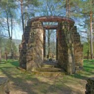
Nearby, the wooden church at Owczary (1653) is a UNESCO World Heritage site. The church at Świątkowa Mała (18th century) is similarly preserved. At Nieznajowa — a village that was completely emptied and never resettled — there is now a symbolic gateway: a doorframe standing in a clearing, a portal opening onto forest and the outline of house foundations. A door to nowhere, in a village that is nowhere. It is one of the most affecting pieces of memorial landscape in Central Europe and appears in essentially no English travel writing.
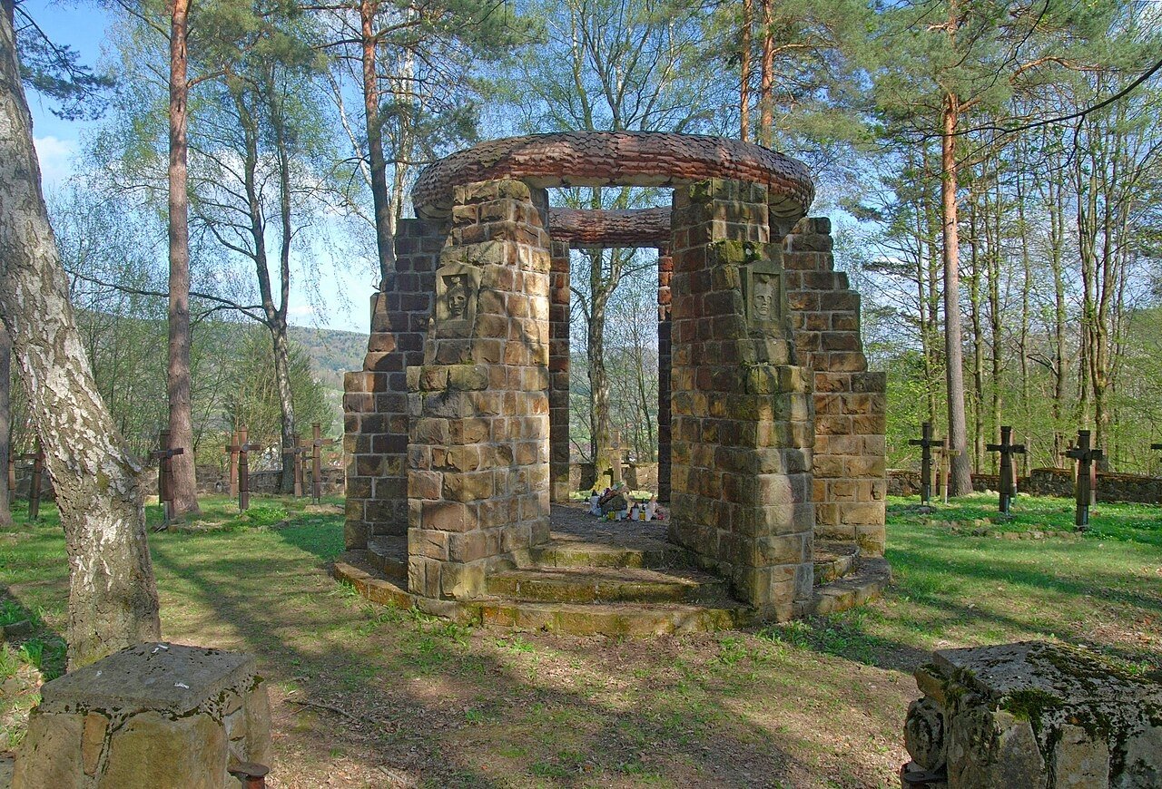
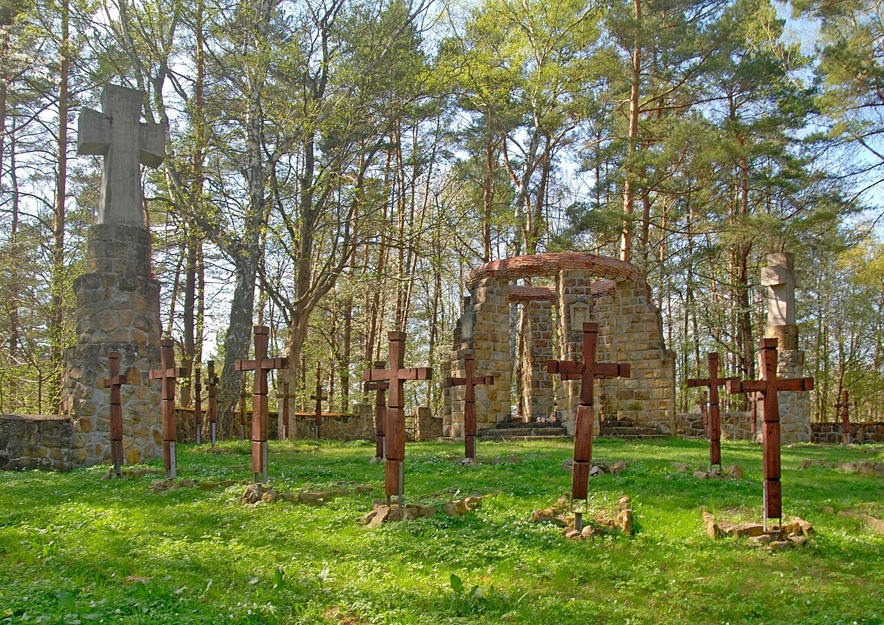
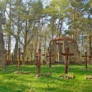
The Low Beskids carry another layer below the Lemko story. The winter of 1914–1915 saw ferocious fighting between Austro-German and Russian forces across this landscape — the battles for the Dukla Pass, the winter campaigns that preceded the Gorlice Offensive of May 1915. War Cemetery No. 6 on Łokieć Hill, southwest of Krempna, commemorates the dead from those engagements. Its central monument — six stone pillars with a concrete wreath and copper oak leaves — was designed by Dušan Jurkovič, the Slovak architect who created some of the most significant WWI cemetery designs in the Carpathians. A Slovak architect designed a cemetery for the dead of an Austro-Hungarian and Russian battle in a Lemko Polish village in a landscape later emptied by communist deportations. The layers are this dense, this close together, across this entire range.
The national park itself — established 1994, covering 19,962 hectares — has 137 recorded bird species and a documented population of bear, lynx, wolf, and wildcat. The landscape is secondary growth: the forest is approximately 80 years old, regrowing on land that was farmed and inhabited before 1947. The rewilding is visible in the way the forest closes in on old orchard trees and the stone outlines of former houses.
Access: From Krosno: approximately 40 km south by road via Dukla, on winding forest mountain roads — a car is practically required. No rail connection and no regular public transport to Krempna. The Jan Szafrański Educational and Museum Center in the village is open Tuesday–Sunday in summer, Tuesday–Friday in winter (mpn.gov.pl for current hours). The Jurkovič cemetery and the Nieznajowa portal require local knowledge of unmarked forest tracks — ask at the museum centre.
→ Poland and the Carpathian borderlands mapped: Hidden Europe — The Beyond the Map Map
3. Ďumbier, Slovakia — The Summit Nobody Climbs
GPS: 48.933°N, 19.567°E — Low Tatras National Park — Elevation: 2,043 m
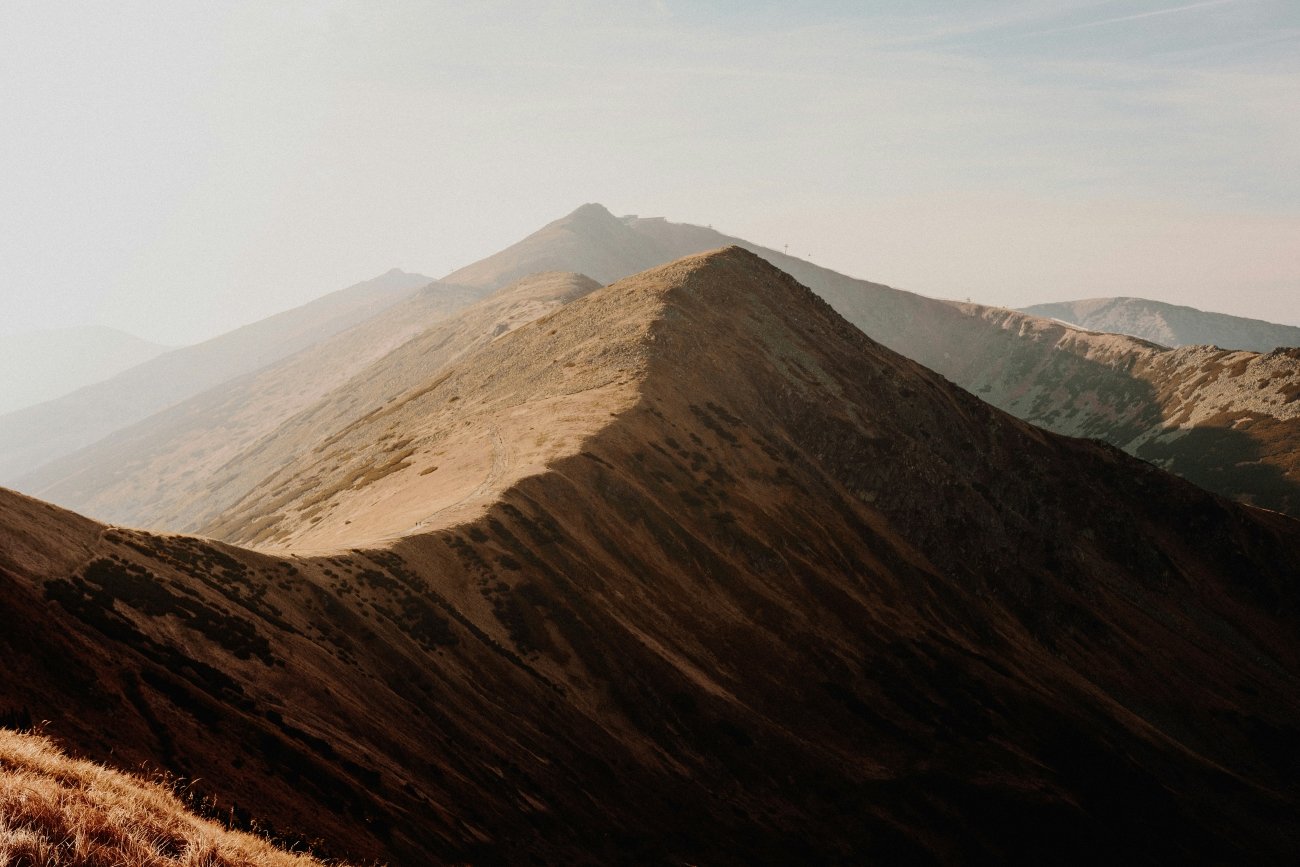
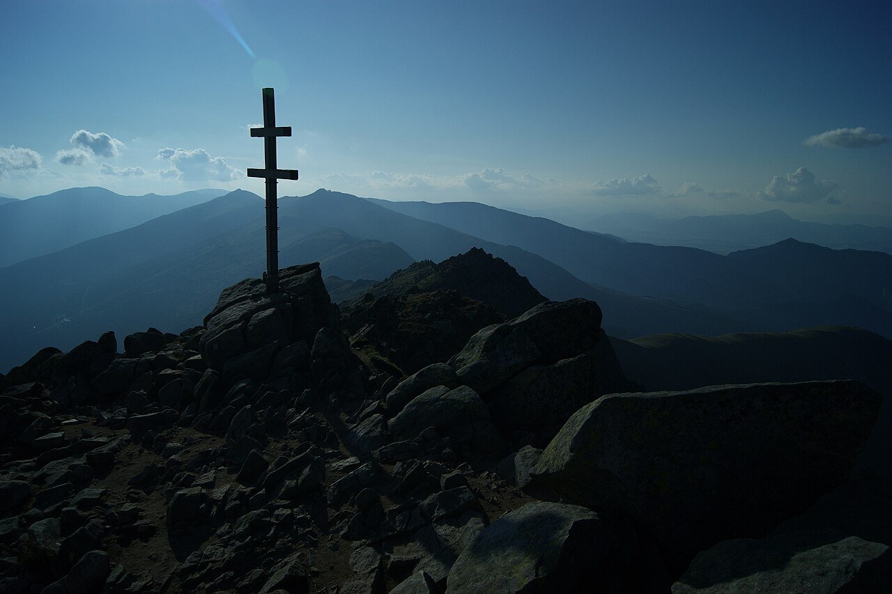
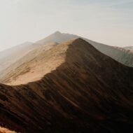
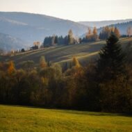
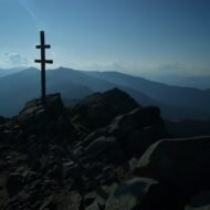
The highest peak of the Low Tatras (Nízke Tatry) is not on the itinerary of most visitors to Slovakia, because most visitors to Slovakia who go to the mountains go to the High Tatras — specifically to the peaks above Štrbské Pleso that appear in every travel photograph of the country. The Low Tatras, 80 km to the south, are the largest national park in Slovakia (72,842 hectares) and receive a fraction of the High Tatra crowds. Ďumbier, the highest point of the western Low Tatras at 2,043 metres, is quieter still: the ski infrastructure and cable car of the Jasná resort is concentrated on Chopok (2,024 metres), slightly lower and more accessible to the east, leaving Ďumbier — the actual summit — to those who walk to it.
The approach from Chopok via the ridge is the most direct: take the Funitel cable car from Jasná to the Chopok upper station (2,004 metres), then follow the red trail west across Kamenná chalet, through Demänovské sedlo, across Krúpova hoľa, and to the summit. The ridge is above the treeline for most of its length: alpine meadow, exposed rocky ground, views of the full panorama of central Slovakia — the High Tatras to the north, the Liptov basin below, the Hron valley curving south. Chamois are visible on the upper slopes; marmots, reintroduced after their extinction here in the early 20th century, have re-established colonies on the ridge.
Near the summit, and on the flanks of the massif below, are the traces of medieval mines. Gold, iron, and antimony were extracted from the Ďumbier massif in the medieval period; the workings are legible on the mountain above the treeline as disturbed ground, hollow depressions, and collapsed shaft openings. Standard Slovak hiking coverage does not mention them.
Just below the summit, at 1,740 metres, is Chata M. R. Štefánika — the Štefánik Mountain Chalet, named for Milan Rastislav Štefánik. Štefánik was a Slovak astronomer and general who co-founded Czechoslovakia with Masaryk and Beneš in 1918, having built his political career through French military service and diplomatic contacts across the Allied powers during the First World War. He died in a plane crash on 4 May 1919, returning to Slovakia after the Armistice, never having seen the state he helped create. He is on the Slovak 200-crown note and is the Slovak national hero of the 20th century in the way that no English speaker has ever heard of. The Slovak Ministry of Defence organises an annual ceremonial ascent of Ďumbier to his memory, bringing military and civilian walkers to the summit — an unusual official act of national commemoration on a mountain that most foreign visitors have not heard of.
In August and September 1944, the Low Tatras were a theatre of the Slovak National Uprising (Slovenské národné povstanie, SNP) — the armed resistance against the Nazi occupation and the collaborationist Slovak state. Slovak partisan units used the mountain terrain of the Nízke Tatry as their operational base. The bloodiest battles of the Uprising were fought in these mountains. A memorial to the partisans who fought here stands near the Štefánik Chalet on the Chopok–Ďumbier ridge. The SNP is the central event of 20th-century Slovak national identity and is memorialized at the national level in Banská Bystrica. On the ridge above Jasná, in the wind, the memorial is one marker in a landscape where the fighting actually happened.
Access: From Liptovský Mikuláš (20–25 km north of the range) to Jasná ski resort via the Demänová valley. Funitel cable car from Jasná base: weekends 8:30–15:00 (last descent 15:00). From Chopok, red ridge trail to Ďumbier: approximately 2.5–3 hours one way. Return the same way. Total day: 5–7 hours from Chopok. The Štefánik Chalet offers accommodation and refreshment. For independent approach without the cable car: green or red trails from the Demänová or Jánská valleys (significantly longer; full-day ascent). Liptovský Mikuláš is reachable by train from Bratislava (approximately 3 hours).
→ Central Europe and the Carpathian arc mapped: Hidden Europe — The Beyond the Map Map
4. Kvikkjokk, Sweden — The Last Village Before the Wilderness
GPS: 66.945°N, 17.724°E — Norrbotten County — 100 km northwest of Jokkmokk
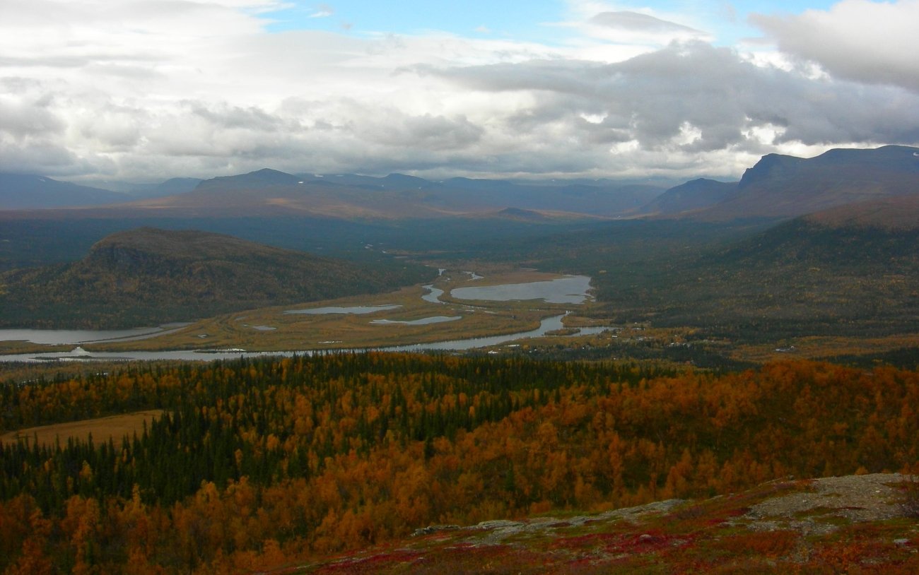
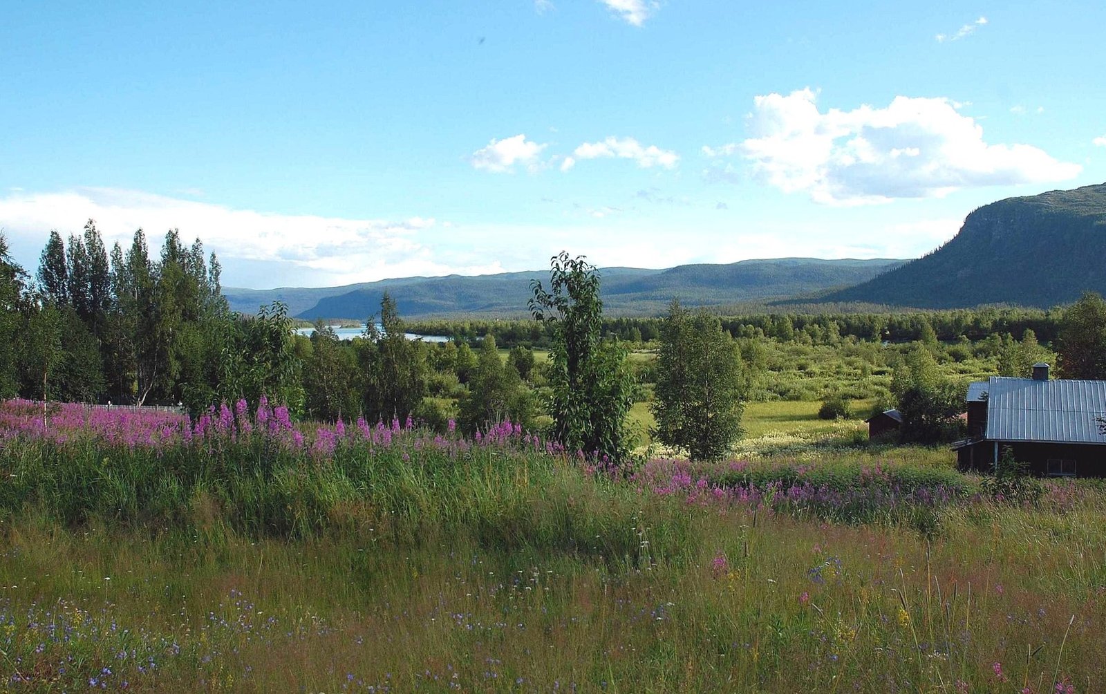
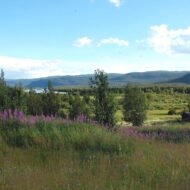
Kvikkjokk is a village of approximately 50 permanent residents at the point where the Tarradalen and Kamajokk valleys converge, 100 km northwest of Jokkmokk, above the Arctic Circle in Swedish Lapland. It is the last place with a road. Beyond it — to the north, west, and south — is Sarek National Park: 1,977 km² of mountain wilderness with no roads, no marked trails, no bridges over the rivers, no maintained huts on most of its terrain, and no permanent human habitation. Sarek is part of the Laponia World Heritage Area (UNESCO 1996), a 9,400 km² complex of protected land that is one of the largest wilderness areas in Europe.
Sarek has approximately 200 glaciers. It has six peaks above 2,000 metres. Its rivers flood without warning in the spring melt. The terrain is technical in a way that requires navigation skills and experience with river crossings; it is not a place for the unprepared. It receives approximately 10,000 visitors per year — compared to hundreds of thousands in comparable wilderness areas in Norway and Iceland. The Swedish outdoor culture of allemansrätten (the right to roam) means entry is free and unrestricted, but the landscape enforces its own selectivity.
Kvikkjokk itself is the terminus of a single road. The village has a mountain station (fjällstation) operated by the Swedish Tourist Association (STF), established in 1907 — one of the oldest in the Swedish mountain network. It offers accommodation, meals, and canoe hire. From here, access into the Padjelanta National Park (to the northwest) or the Kungsleden trail (which connects further north) is by canoe across Lake Saggat, by foot, or by helicopter charter. The helicopter service — operated seasonally — is how most non-technical visitors reach the interior of Sarek; it drops hikers at interior locations and retrieves them.
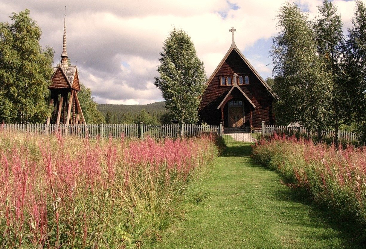
The Sami have used this territory for millennia. The Kvikkjokk area lies within the traditional reindeer herding territory of the Jokkmokk Sami community; autumn reindeer round-ups move through the valley. The 1907 church at Kvikkjokk — a simple painted wooden building in the Swedish Arctic vernacular — stands where a mission chapel has served the Sami population since the 17th century. Laponia’s UNESCO designation was granted partly in recognition of continuing Sami land use and cultural practice, not merely landscape values: it is a living cultural landscape, not a preserved emptiness.
The light above the Arctic Circle in summer is permanent: the sun does not set from late May to mid-July. In winter, from late November to mid-January, it does not rise above the horizon. The northern lights are visible from September through March. In October — after the crowds of the summer hiking season have gone, before the winter sets in — the birch forest in the valley turns gold across the hillsides above the river, and the snow line descends daily on the peaks of Sarek.
No English-language travel article about Kvikkjokk exists in any major publication. Sarek itself appears occasionally in extreme wilderness coverage but is absent from mainstream European travel media. The village, the fjällstation, the Padjelanta canoe routes, and the seasonal access to one of Europe’s last genuine wildernesses are entirely unknown to most European travellers.
Access: Bus from Jokkmokk to Kvikkjokk: approximately 2 hours on road 827 (seasonal service; check with Länstrafiken Norrbotten for current timetable). Jokkmokk is reachable by bus from Gällivare (rail connection to the main north Swedish line) or by bus from Luleå. The STF Kvikkjokk fjällstation (stfturist.se) offers bed-and-breakfast and hostel accommodation; book well in advance for summer. Day canoe hire available for exploration of the lake delta. Entry to Sarek requires navigation experience, appropriate equipment, and self-sufficiency; the STF station can advise on conditions.
→ Scandinavia and the Northern Edge mapped: Hidden Europe — The Beyond the Map Map
5. Defileul Jiului, Romania — The Gorge with 36 Tunnels
GPS: 45.272°N, 23.368°E — Defileul Jiului National Park — between Petroșani and Bumbești-Jiu
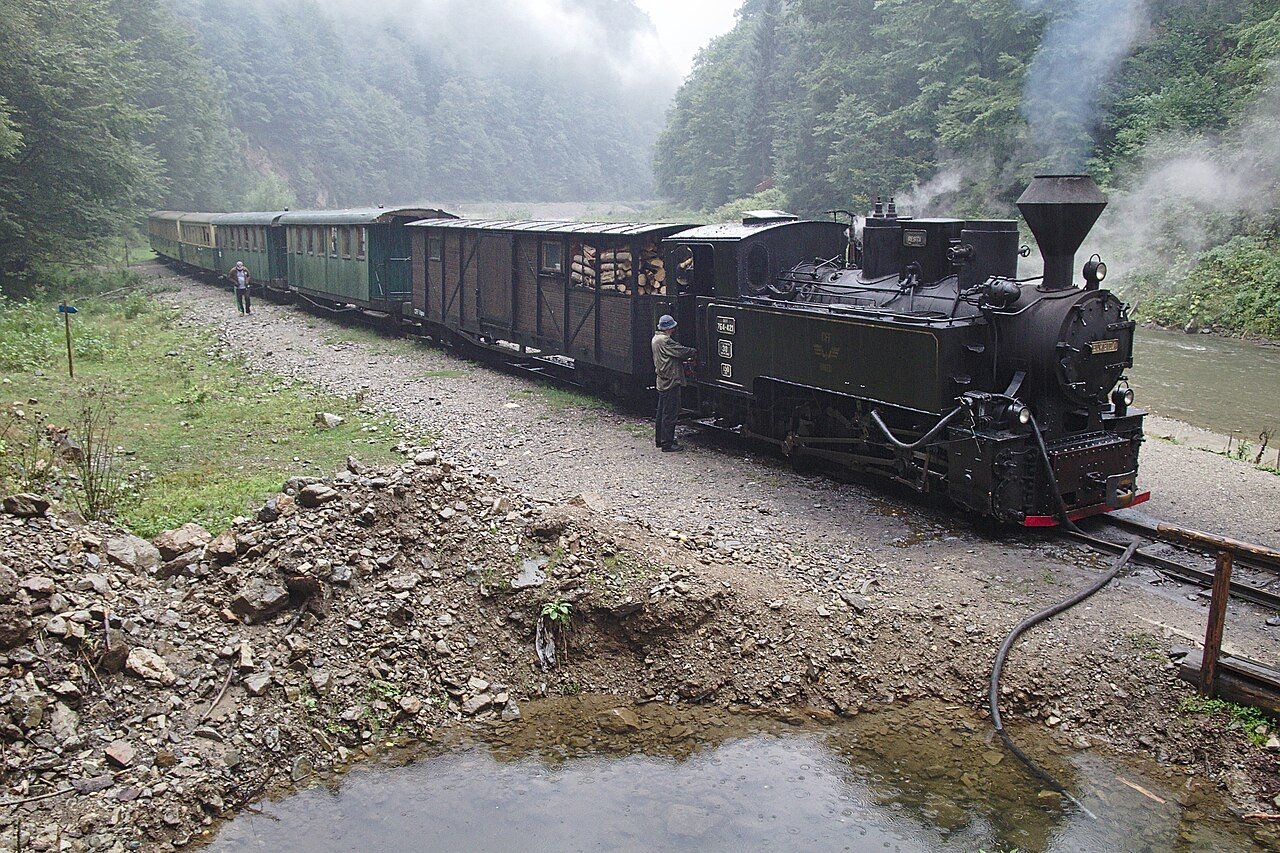
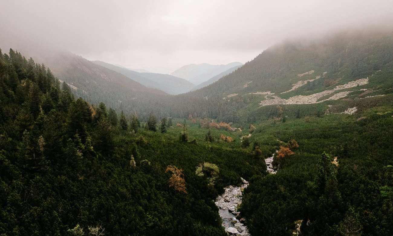
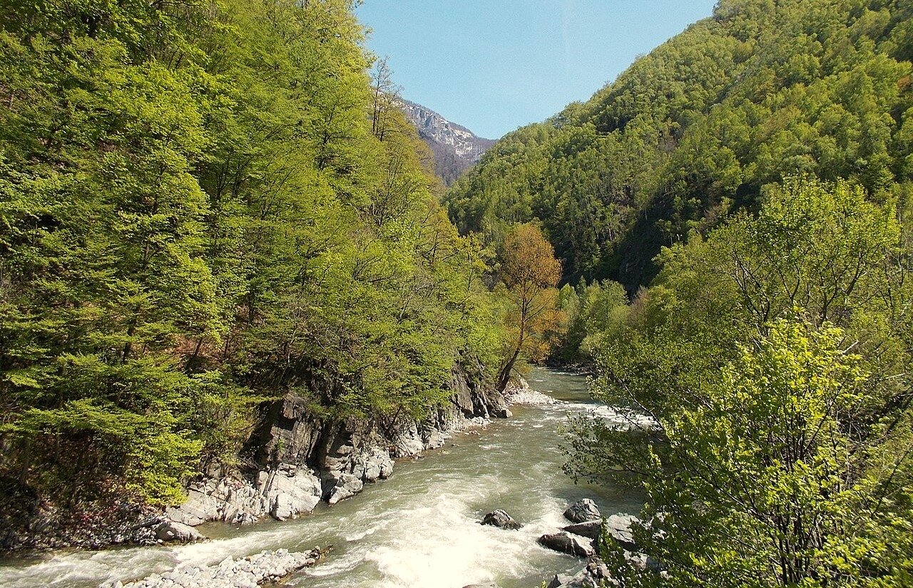
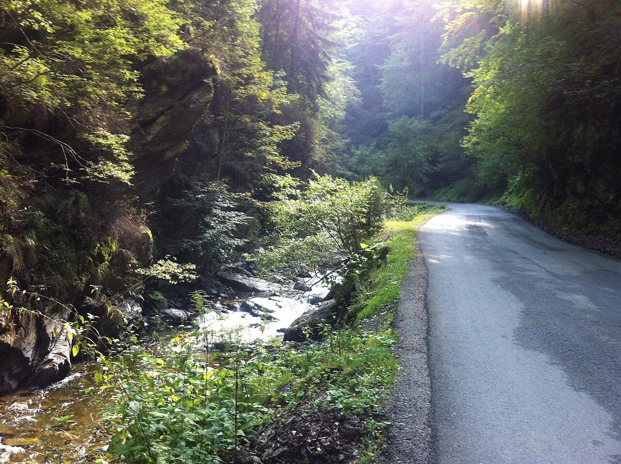
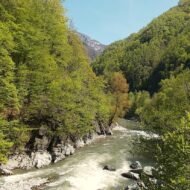
The Jiu River descends from the Transylvanian plateau through the Southern Carpathians to the Oltenia plain via a gorge carved through limestone: the Defileul Jiului, 33 kilometres of rock walls, river rapids, spruce forest, and a railway line that took 24 years to build and contains 36 tunnels and 25 viaducts. The national park established around the gorge in 2005 covers 11,127 hectares and records approximately 25% of all plant species found in Romania across its habitats — limestone cliff, mixed mountain forest, high meadow, river corridor.
The railway is the reason to understand the gorge before entering it. Construction of the Bumbești–Livezeni line began in 1924. The terrain was regarded as nearly impossible: the gorge narrows to a few metres in places, the river switches sides unpredictably, the rock is fractured limestone that required continuous reinforcement. The line took 24 years — paused by the Depression, the Second World War, political upheaval — before the final section was completed in October 1948. The statistics: 36 tunnels, 25 viaducts, one S-shaped tunnel (the Leurzeaua, the only S-curve railway tunnel in Romania, built because the gorge offered no straight alignment at that point). The line was electrified in 1972–1974. The journey through the gorge section by train — Bumbești-Jiu to Petroșani, approximately 45–60 minutes — is the most technically complex railway route in Romania and one of the most spectacular in the Carpathians. It appears in no English coverage of scenic European train journeys.
The gorge itself is walkable on three designated trails, all requiring some technical awareness: phone signal is poor or absent, trail markings are imperfect, the river can rise fast in rain. Rafting and kayaking are available in season. The wildlife list includes bear, lynx, wolf, and mountain goat — all present in the park, rarely seen. The landscape is a genuine wild gorge: not managed for tourism, not heavily visited, accessible by a train that treats it as an engineering problem to be solved rather than a view to be presented.
North of the gorge, the landscape changes completely. The Jiu Valley — the coalfields of Petroșani, Lupeni, Vulcan, Petrila — is a post-industrial landscape that has been in continuous demographic and economic collapse since the mines began closing in the late 1990s. The coal was mined here for approximately 150 years. Aninoasa’s mine closed in 2006. Petrila’s mine — its distinctive headframe a landmark of Romanian industrial architecture, the subject of a significant preservation campaign — closed in 2015.
The miners of the Jiu Valley came to national attention in a different way. Between 1990 and 1999, in the political chaos following the December 1989 revolution, Jiu Valley miners descended on Bucharest three times. In June 1990, President Iliescu summoned them to break up the University Square student protests: miners armed with clubs and iron bars attacked students and intellectuals, ransacked opposition party offices, beat people in the street. The events were broadcast live on Romanian state television. Seven people died officially; the true figure is disputed. The episode shaped how Romania was perceived internationally in the early post-communist period and became a touchstone of the country’s difficult democratic transition. The miner leader Miron Cozma was later sentenced to 18 years in prison for his role in the 1991 intervention. The mines that financed and motivated the mineriade are now closed. The valley they came from is one of the most economically depressed regions in Romania.
Directly adjacent to this landscape — the national park entrance at Bumbești-Jiu is 30 km south of Petroșani — is one of Romania’s wildest river gorges. The juxtaposition is exact and unexamined in any English travel writing: wild gorge, 24-year-built railway, post-industrial ruin, and a political history that convulsed a country, all within a single valley system.
Access: By train: from Petroșani (north) or Târgu Jiu (south, change at Filași) on CFR Line 202 — the gorge section is Bumbești-Jiu to Livezeni. By road: DN66/E79 runs through the gorge; driving time Petroșani to Bumbești-Jiu approximately 30–40 minutes. The National Park Visitor Centre is at Strada Zorilor 6, Bumbești-Jiu, open Monday–Friday 09:00–15:00 (extended summer hours); staff speak English, French, German, and Hungarian and can arrange guides. Hiking trails open year-round; winter requires appropriate footwear. Rafting and kayaking: seasonal operators in Bumbești-Jiu.
→ Romania and the Carpathian routes: Overland & Campervan in the Balkans — The Beyond the Map Road Guide
The Full Map
These five places share one quality: they exist completely, with the full weight of history and landscape, and have simply not been translated into the English travel conversation. The monastery is on the banknote. The door stands in the empty village. The summit has its annual military climb. The last village before the wilderness has been there since 1907. The gorge took 24 years to cross by rail.
The places have not changed. The coverage has simply never arrived.
The complete network of overlooked European places — mapped:
→ Hidden Europe — The Beyond the Map Map All five locations mapped alongside the full network of places the standard travel conversation has not reached.
→ Overland & Campervan in the Balkans — The Beyond the Map Road Guide The Balkans and Carpathian routes that connect Romania, Moldova, and the wider eastern arc.
→ Autumn Photography in Europe — The Beyond the Map Premium Guide Kvikkjokk in October. The Codri forest in November. The Jiu gorge in the low-angle light of the season’s end.
→ Soča Valley Beyond the Map — The Premium Field Guide For when the route passes through Slovenia — the Julian Alps as the western edge of the Carpathian world.
→ Tbilisi Beyond the Map — The Wanders City Guide For when the route extends east — the Caucasus, and the places that exist completely beyond every map.