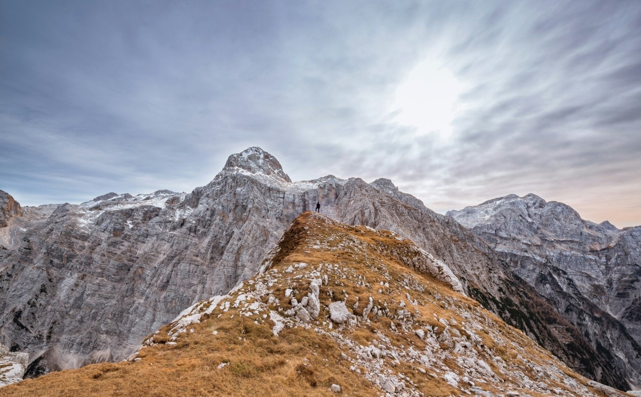
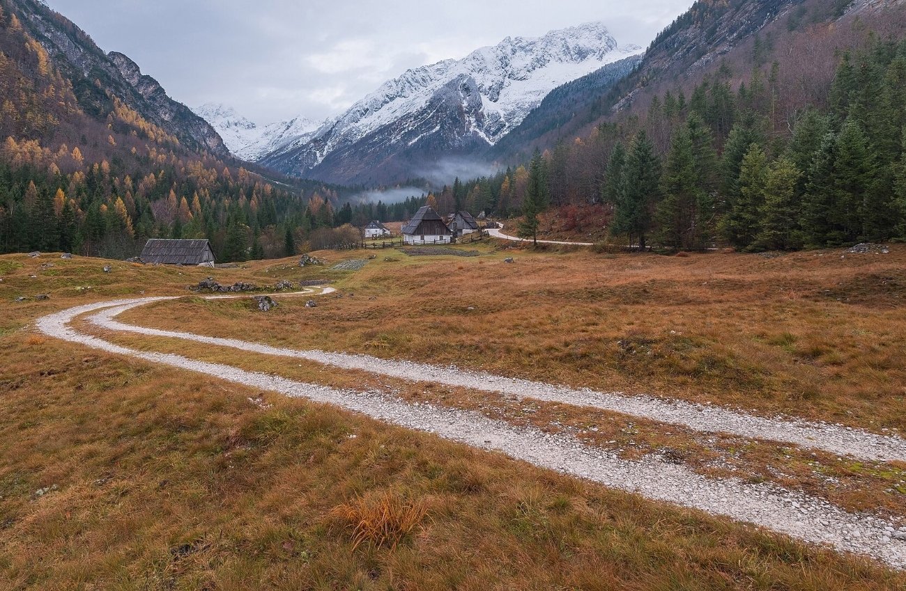
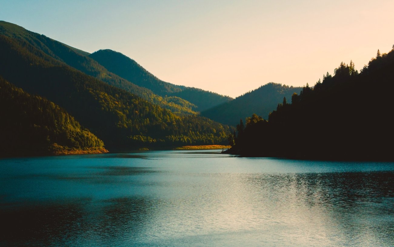
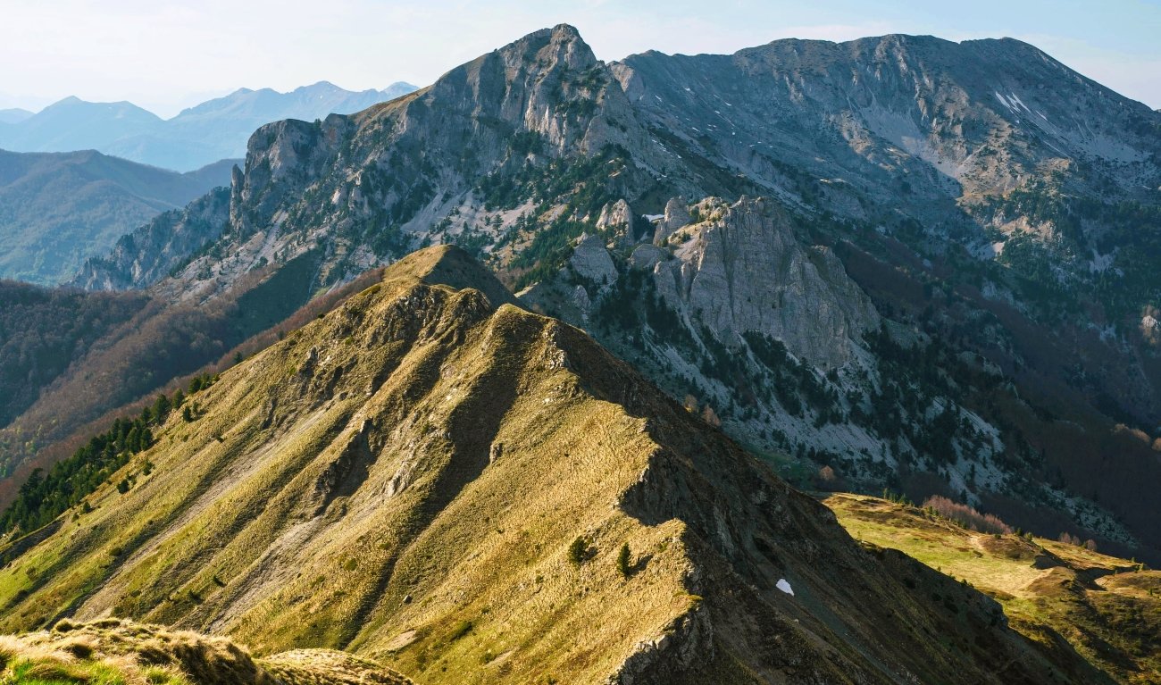
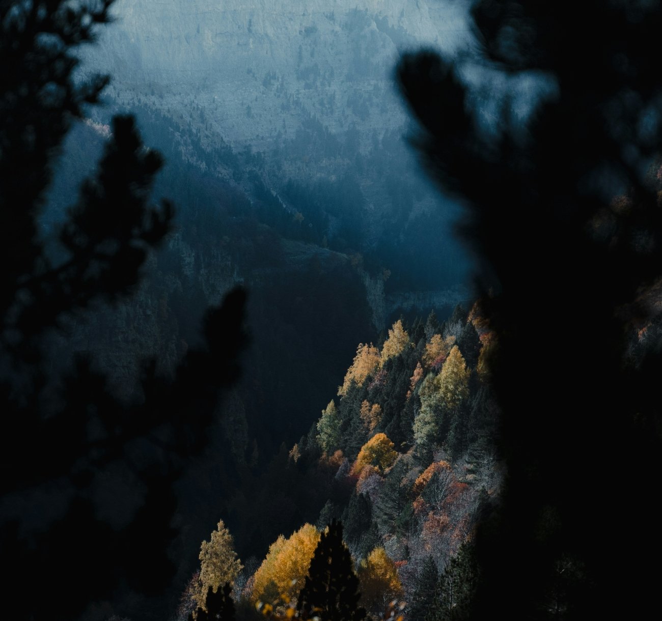
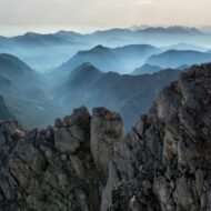
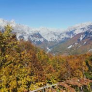
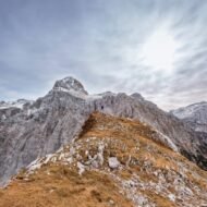
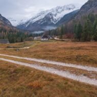
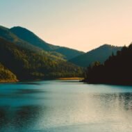
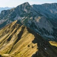
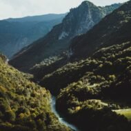
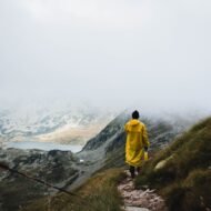
The famous autumn destinations in Europe have been discovered, photographed, packaged and priced accordingly. The Dolomites in October. The Black Forest. The Scottish Highlands. These are not bad places. They are simply places where you will not be alone.
- 1. Tara Canyon, Montenegro — Europe’s Deepest Gorge in the Season Nobody Comes
- 2. Theth, Albania — The Village That Emptied and Didn’t Quite Disappear
- 3. Retezat, Romania — 58 Glacial Lakes and No Cable Car
- 4. Ordesa Valley, Spain — The Canyon You Can Drive Into in October
- 5. Trenta Valley, Slovenia — The Source of the Soča Before the Road Closes
- When to Go
What these five valleys have in common: serious hiking, genuine remoteness, autumn colour that has not yet been industrialised into a product. One of them becomes accessible by private car only in autumn — because in summer the road is closed to vehicles and you arrive by shuttle bus with everyone else. One holds Romania’s largest glacial lake above 2,000 metres and receives a fraction of the traffic of ranges with cable cars. One had an estimated population of 7,000 in 1991 and 17 year-round families by 2005, and the guesthouses that brought people back are the reason it still exists. One has 400-year-old black pines that do not change colour and beech forests that do, and the combination against a turquoise river 1,300 metres below is the thing most visitors to Montenegro never see because they come for the rafting.
This is October in the margins. The margins are the point.
1. Tara Canyon, Montenegro — Europe’s Deepest Gorge in the Season Nobody Comes
GPS: 43.100°N, 19.000°E — Canyon depth: 1,333 m
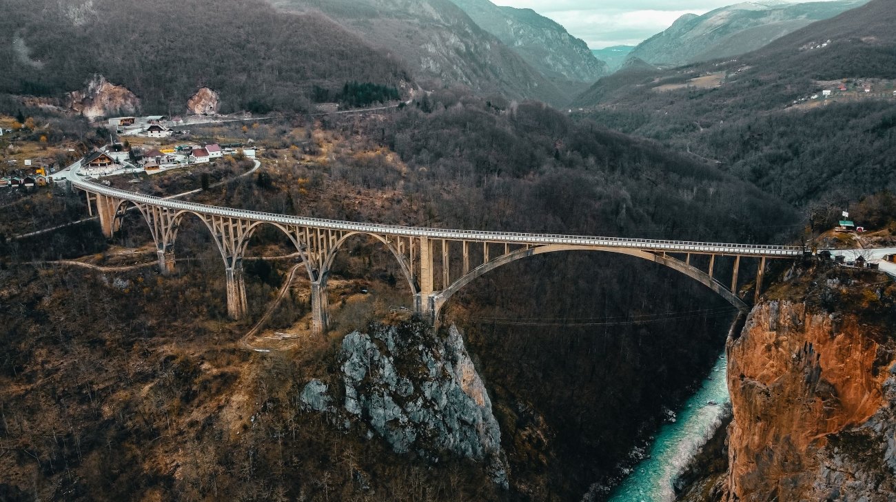
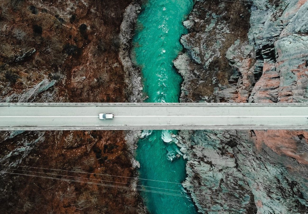
The figure that appears in every article about Tara Canyon is the depth: 1,333 metres at its maximum, averaging 1,073 metres along its 158-kilometre length. Europe’s deepest gorge. What the articles do not say is when to go.
Summer belongs to the rafters. Sixty-nine rapids, forty cascades, organised tours departing from Žabljak every morning from May to September. The canyon in summer is a logistics operation.
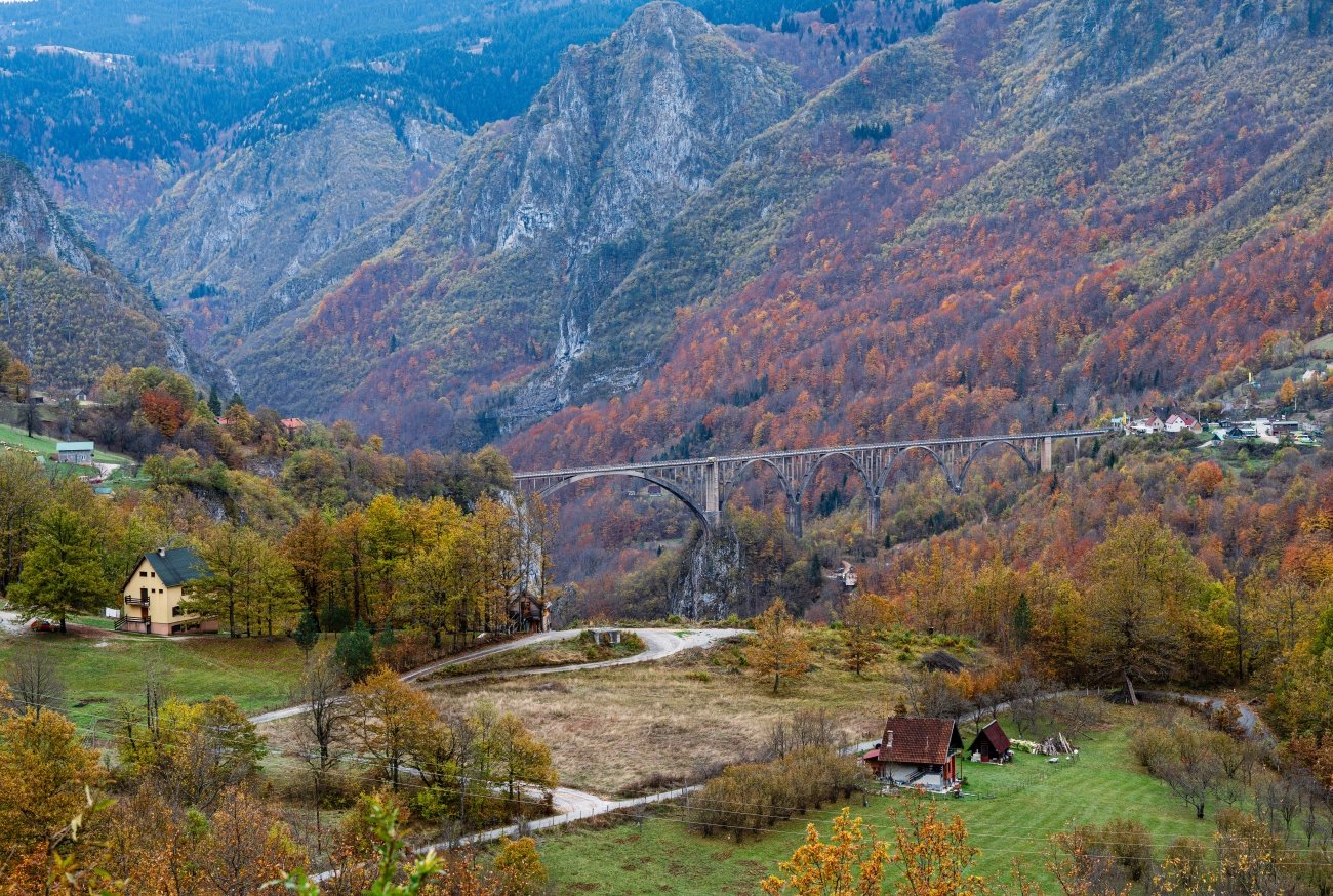
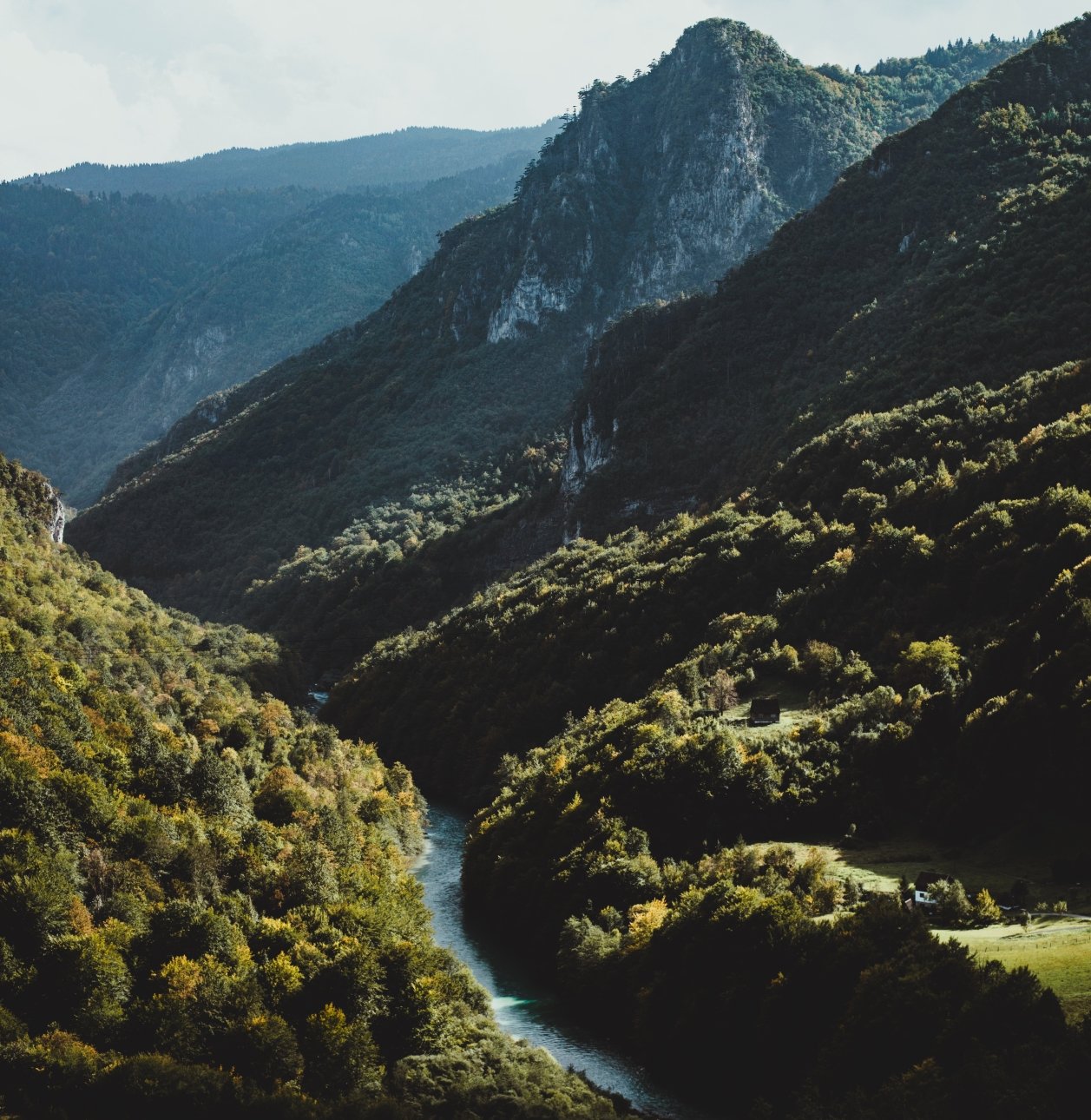
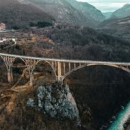
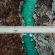
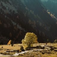
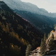
October is different. The rafting season ends. The organised tours stop. What remains is the canyon itself — the ancient black pines at Crna Poda, some over 400 years old, standing evergreen against beech and birch and cerris oak turning amber and gold on the slopes above. The contrast between the static dark of the pines and the moving colour of the deciduous trees, with the turquoise Tara visible 1,100 metres below, is the image most visitors never see because they come in the wrong month.
Two hiking options from Žabljak worth knowing. The Ćurevac rim trail runs along the canyon edge with sheer drops and takes approximately two hours each way from the trailhead — the trail is marked but the markings are inconsistent; download a GPX before you go. The Podgora circular route is 6.1 km, visiting three viewpoints — Soa, Brojila, and Tmorska Glavica — and can be completed in a half day. The canyon also crosses into Bosnia and Herzegovina in its lower section, a stretch almost entirely absent from English hiking writing.
One thing English travel articles on Montenegro almost never mention: stay on marked trails. The broader Balkan region has documented landmine risk from the 1990s conflicts in areas off established paths. This is not a reason to avoid the canyon; it is a reason to stay on the trail.
Access: Žabljak is the base, at 1,456 m — reachable by bus from Podgorica or Nikšić. From Žabljak, drive approximately 15 km to the Đurđevića Tara Bridge area for trailheads. Park entry fee 3–5 euros per vehicle. For accommodation in the canyon itself rather than Žabljak, Guest House Stanišić in Gornja Dobrilovina village sits at the canyon edge with home-cooked meals by arrangement.
Peak colour: Early to mid-October at canyon rim elevation. Beech and birch; black pines evergreen throughout.
→ The Balkans by road — Montenegro, Albania, Bosnia in one route: Overland & Campervan in the Balkans — The Beyond the Map Road Guide
2. Theth, Albania — The Village That Emptied and Didn’t Quite Disappear
GPS: 42.400°N, 19.767°E — Elevation: 750 m — National Park: 2,630 ha
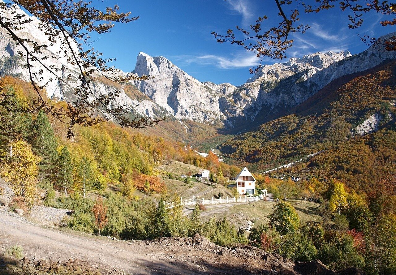
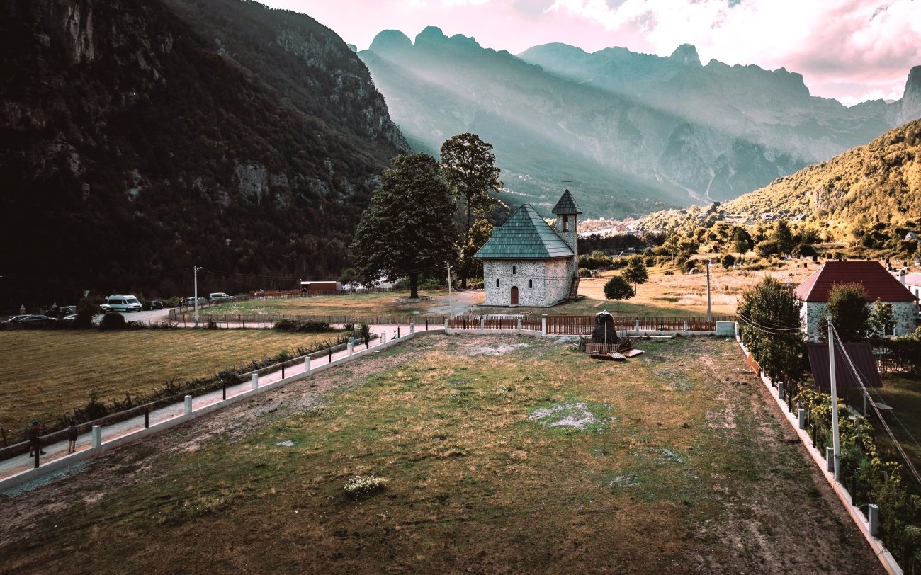
In 1991, Theth had 280 houses across nine hamlets and an estimated 7,000 residents. By 2005, researchers found 17 families living there year-round. The current figure is somewhere around 350 permanent residents, though most families maintain homes in Shkodër or Tirana and return for summer. What visitors are walking through in October — the stone farmhouses, the walled hayfields, the old mill by the river — is, functionally, a seasonal settlement kept alive by guesthouses and the tourism economy they sustain.
This is what most English travel writing on Theth does not say.
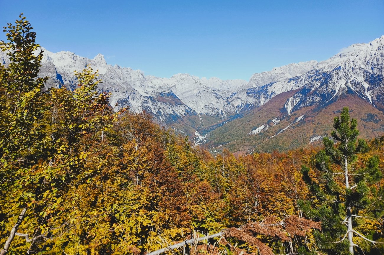
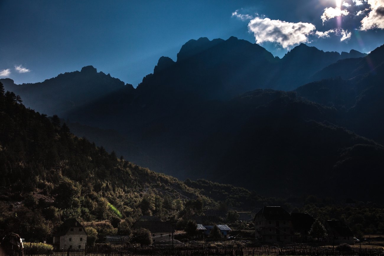
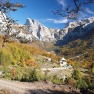
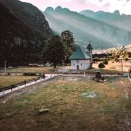
The valley itself: beech forest at 750 metres, limestone peaks rising to over 2,200 metres on three sides, the Shala river running green through the floor. Theth National Park covers 2,630 hectares, designated in 1966, and contains forest, alpine meadow, and cave systems that most visitors never reach. The road from Shkodër — 72 km, fully paved since 2021, approximately two hours — replaced a rough track that existed from 2012 and mule paths before that. Before the paving, the village was genuinely isolated. The sealed road changed the summer season entirely.
October changes it back.
The trails within the Theth basin — not the Valbona crossing, the trails that stay in the valley — give three or four days of walking without repetition. The Grunas Waterfall is 2 km from the village, a 25-metre cascade on a signed path along the river. The Blue Eye — Syri i Kaltër — is a cold natural spring with turquoise water approximately 18 km return from the village, reachable in a full day; it is regularly confused in travel content with the better-known Blue Eye near Sarandë in the south. The Okol Canyon follows the Theth river downstream through a 3-km gorge section. Approximately 80 km of marked trails exist in the broader area, mapped by Project Albanian Challenge — a trail network far richer than most English guides describe.
The Lock-in Tower — Kulla e Ngujimit — is a 400-year-old fortified stone tower near the village entrance, now a museum entry at 150 lek (roughly €1.30). The context that travel writing typically omits: the Kulla existed because of the Kanun of Lekë Dukagjini, a customary highland legal code of 1,262 articles that institutionalised blood feuds lasting generations. Men under threat sheltered in kullas, which provided both defensive position and a protected status under Kanun rules. Cases of families confined at home to avoid feuds reportedly continued into the 21st century.
One detail that appears in almost no English coverage: Robert Elsie — the most significant Western scholar of Albanian studies, translator of Albanian literature and author of the definitive historical dictionary of the country — chose Theth as his burial place. He died in 2017. His grave is in Theth cemetery.
Access: From Shkodër, furgon minibuses depart around 7am — 2.5 to 3 hours, road fully paved since 2021. Private car approximately 2 hours. The Komani Lake ferry approach (Shkodër–Koman–Fierza, then road to Theth) is an alternative and one of the more dramatic access routes in the Balkans, operating roughly mid-April to early November. No ATMs in Theth; carry cash from Shkodër. No mountain rescue service operates in the area. Book guesthouses directly in advance for October — several wind down before month’s end.
Peak colour: Early to mid-October at valley floor (750 m). Beech dominant; peaks above the treeline hold colour higher into the month.
→ The Albanian Alps in full — Theth, Valbona, and the trails between: Lost European Valleys
3. Retezat, Romania — 58 Glacial Lakes and No Cable Car
GPS: 45.367°N, 22.867°E — Highest peak: 2,509 m
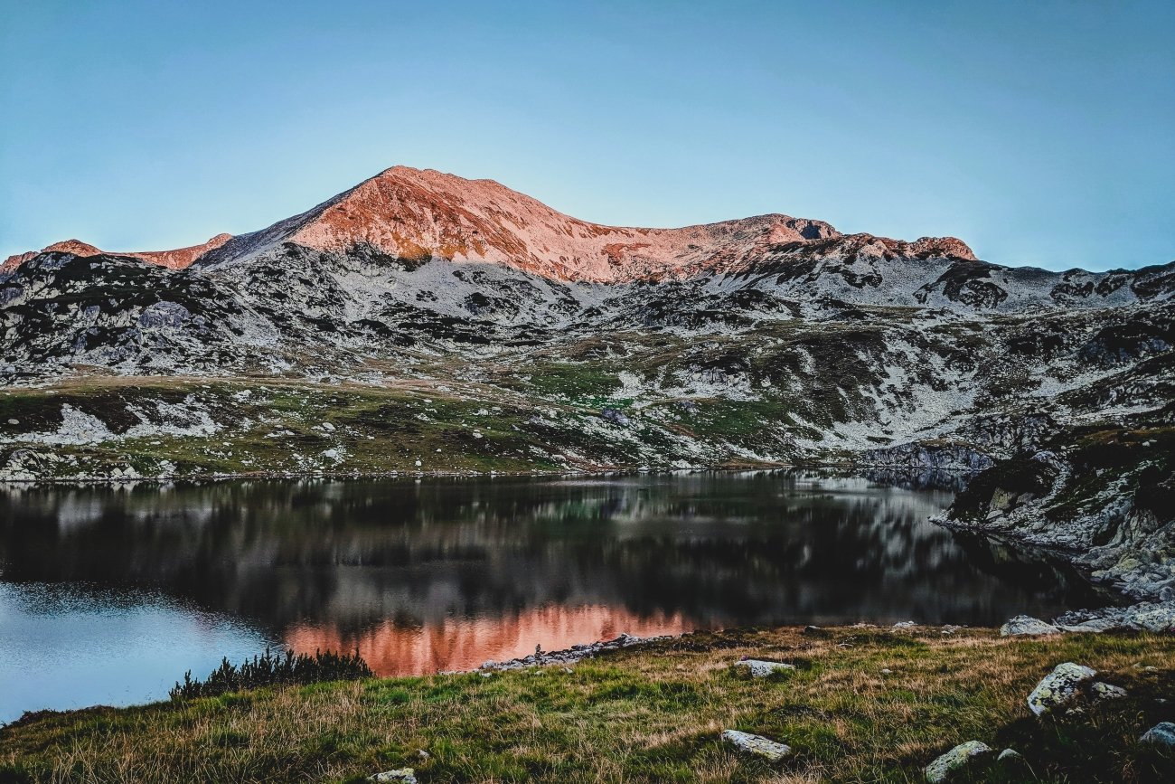
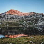
Romania’s first national park, designated 1935. Fifty-eight permanent glacial lakes. Bucura Lake at 2,041 metres is the largest alpine lake in Romania by surface area; Zănoaga Lake, at 29 metres deep, is the deepest. Neither fact is widely known outside Romania.
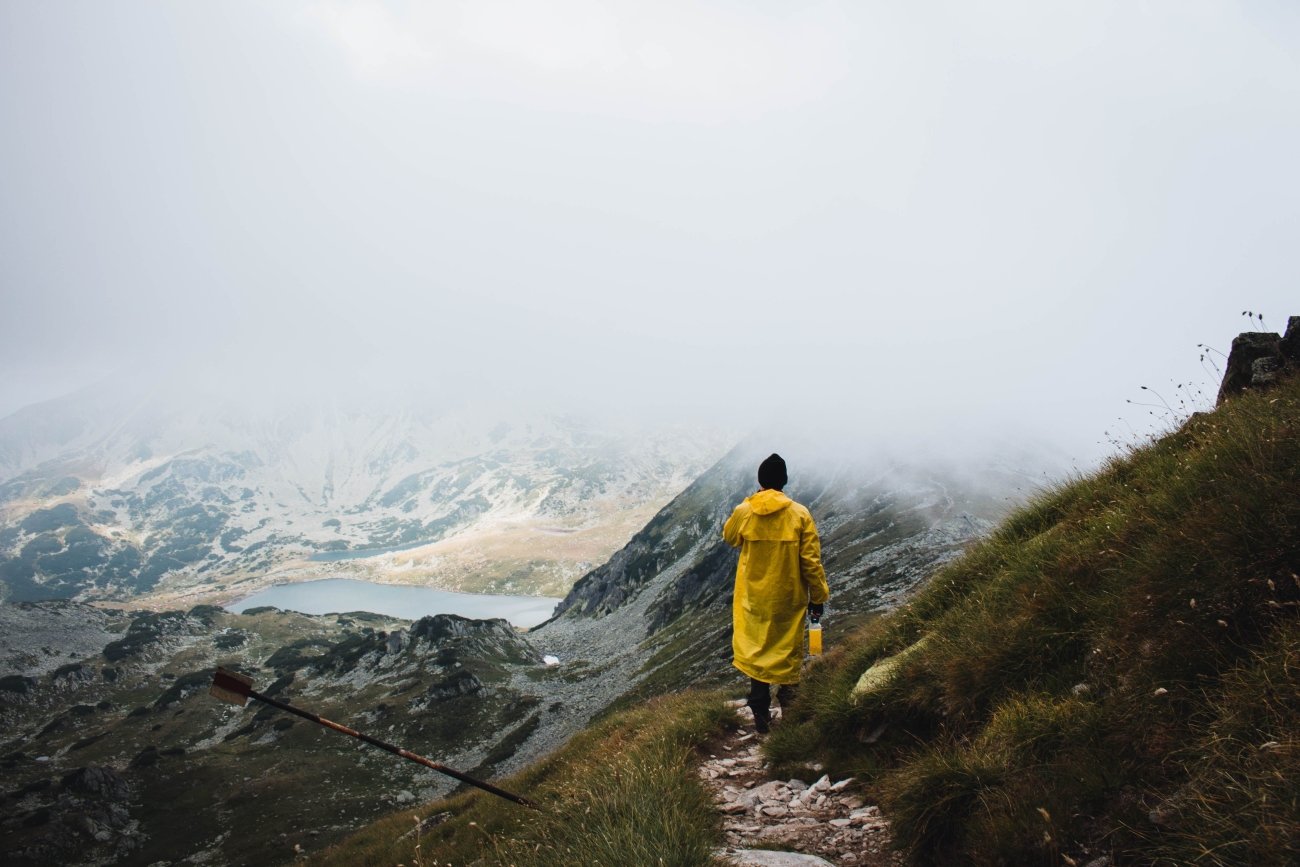
What Retezat has that Bucegi and Făgăraș do not: no cable car, no road to the top, no mass tourism infrastructure. Bucegi has the Babele cable car and road access. The Transfăgărășan highway cuts through Făgăraș and delivers visitors directly to the ridge. Retezat requires walking in on a 20-kilometre dirt road from the Gura Apelor dam access point, or on longer approaches from the northern trailheads. The result is that it receives a fraction of the visitors of the better-known Romanian ranges even in August.
In October, the beech belt between 900 and 1,400 metres turns amber and gold. Above it, the Norway spruce stands remain dark green, and above them, the Swiss pine — zâmbru in Romanian, Pinus cembra — holds its needles in the subalpine zone. Retezat contains the largest concentration of zâmbru in Romania, a species of significant conservation value. The high alpine lakes sit above the colour zone, but the descent from the glacial cirques through the treeline produces a view of the beech forest below that is the defining image of the range in autumn.
The Lakes Circuit from the Tăul Porții (2,260 m) is 5 km with a descent of 1,050 metres, passing Tăul Agățat, Florica, Viorica, Ana, Lia, and Bucura lakes in sequence. The Salvamont mountain rescue station at Bucura Lake is staffed in season; a campsite operates nearby. The Peleaga loop — 12.3 km, 1,034 metres gain — takes in the highest summit in the park.
Park entry fee: 10 RON per person (valid 7 days). Car fee: 26 RON. No permit beyond this.
Access: From Deva, 1.5–2 hours to the Poiana Pelegii trailhead via Hațeg and Nucșoara. No public transport to park trailheads. Huts inside the park: Pietrele, Gențiana, and Buta Lodge at 1,580 m. Camping at Bucura Lake.
Peak colour: Late September to mid-October in the beech belt (900–1,400 m). Lakes circuit above this zone; views of colour from above the treeline are the reward.
→ Autumn light and timing across Eastern Europe — where to be and when: Autumn Photography in Europe — The Beyond the Map Premium Guide
4. Ordesa Valley, Spain — The Canyon You Can Drive Into in October
GPS: 42.6433°N, 0.0508°W — Valley floor: 1,320 m
From Easter to 15 September, private vehicles cannot drive to the Pradera de Ordesa car park at the valley floor. You take the shuttle bus from Torla-Ordesa — €6 return, departs on a schedule, arrives with everyone else who had the same idea. Ordesa in summer is a managed experience.
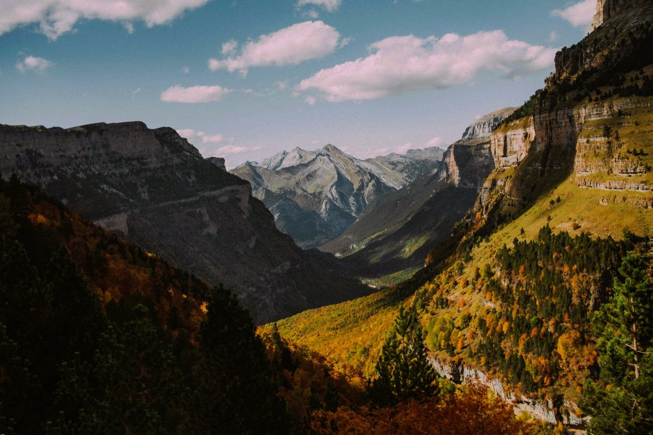
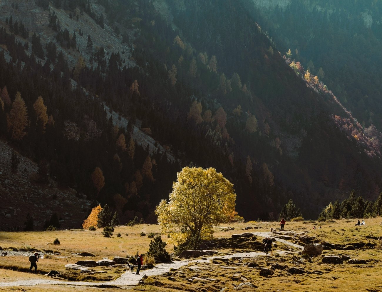
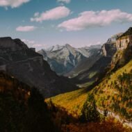
After 15 September, the restriction lifts. Private cars drive directly to the Pradera. You can arrive before the light changes in the morning. You can stay until the canyon walls go dark. The trail is the same trail — the valley floor route to the Cola de Caballo waterfall, 16 km return, 450 metres of elevation gain — but the experience of arriving before anyone else, in October, when the beech trees that line the floor of one of Europe’s deepest limestone canyons are turning gold, is not the same experience as the summer version.
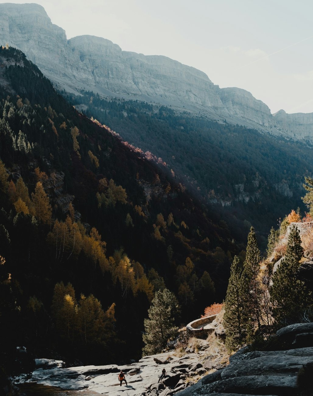
Ordesa Valley is the western arm of the Ordesa y Monte Perdido National Park, cut by the Río Arazas through vertical limestone walls that rise a thousand metres from the river. The primary tree species on the valley floor is beech — Fagus sylvatica — with silver fir mixed in on the wetter northern aspects. October is when the beech turns. Mid to late October is typically peak colour at valley floor elevation.
The upper route — Faja de Pelay, traversing the terrace above the valley at 2,160 metres — is a serious undertaking of 22 km with 800 metres of ascent, best done as a descent from Refugio Góriz or as a traverse requiring a car shuttle. It should not be started after 3 PM; weather above 2,000 metres in October changes without announcement.
Access: Torla-Ordesa is 8 km from the Pradera de Ordesa. From Jaca: 55 km. From Sabiñánigo: 40 km (bus connection in season). After 15 September, drive directly to Pradera de Ordesa. No advance permit required in autumn. Several guesthouses in Torla; Refugio Góriz inside the park at 2,200 m requires advance booking.
Peak colour: Mid to late October at valley floor (1,320 m). Beech and birch; silver fir remains green.
→ Hidden Europe mapped — the Pyrenean corners alongside everywhere else worth the detour: Hidden Europe — The Beyond the Map Map
5. Trenta Valley, Slovenia — The Source of the Soča Before the Road Closes
GPS: 46.381°N, 13.754°E — Valley floor: 624 m — Soča source: 1,100 m
The Soča Valley draws visitors to Bovec for the kayaking, to Kobarid for the Hemingway connection and the First World War museum, to the lower river for the turquoise water in summer. Virtually none of them drive the extra forty minutes up the valley to Trenta, where the river begins.
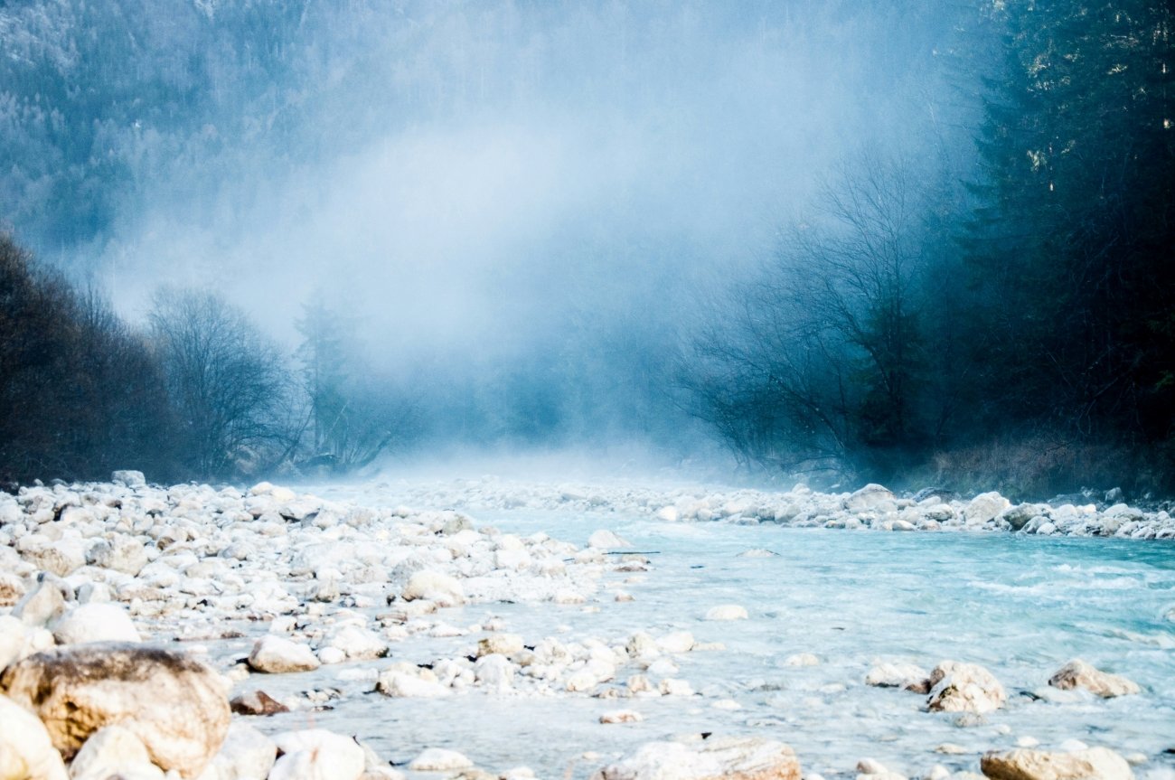
The source of the Soča emerges from a cave at 1,100 metres, an underground lake pushing emerald water into the light. The path from the mountain hut — Koča pri Izviru Soče, open from early May to late October — takes twenty minutes each way and ends at a pool the colour of something that shouldn’t exist in the natural world. In October, the larch on the slopes above have turned gold, the hut is quiet, and the valley road is still open but will not be for much longer.
The Soča Trail runs 25 km from the source toward Kršovec, following the upper river through the narrow upper valley. The first section — source to Dom Trenta — takes 2.5 hours. The Velika Korita Soče, a canyon section 750 metres long and 10–12 metres deep, is the trail’s most dramatic passage. Return by bus is possible in season; after the end of the scheduled service (roughly September), a car shuttle or retracing the route is necessary.
What the English-language coverage of this valley consistently omits: Trenta’s upper valley contains a 1690 miners’ church, built by owners of iron bloomeries that operated here from 1579. This was an industrial valley long before it was a hiking destination. Dom Trenta — the Triglav National Park information centre — holds an ethnological collection that documents this history. It opens 24 April to 30 October; visit in the last days of October and you are likely to have it almost to yourself.
The Juliana Alpine Botanical Garden, also within the valley, closes 30 September — one reason early October rather than late is better for Trenta. The Vršič Pass road at the valley’s upper end may close from snow by late October; check conditions before driving it.
Access: From Bovec, drive the Vršič Pass road into the upper Trenta Valley — approximately 30 km, 45 minutes. A bus from Bovec ran to the Soča source (Mlinarica parking) in 2024, departing at 09:30 and 15:30; verify current schedule as the service is relatively new. After September, private car is the reliable option. Accommodation in the valley itself: Kekčeva domačija farm inn; Pristava Lepena in the side valley; Trenta campsite (€18–22/person). The mountain hut at the Soča source accepts walkers for food and drinks.
Peak colour: Late September to mid-October for larch above 1,400 m (Vršič Pass area); the valley floor at 624 m sees beech and mixed colour from early to mid-October.
→ The Soča Valley from source to sea — the complete field guide: Soča Valley Beyond the Map — The Premium Field Guide
When to Go
The window these five valleys share: late September to mid-October. Early enough that snow has not closed the high routes. Late enough that the summer traffic has ended.
Pack for rain. At Retezat and on the Valbona Pass, October weather includes everything — clear mornings and afternoon cloud that drops fast. At Ordesa, the canyon walls provide shelter on the valley floor but the upper routes above 2,000 metres are exposed. At Trenta, the microclimate at valley floor level is more sheltered than Bovec — one of the things nobody tells you.
The valleys in autumn are not comfortable in the way a packaged experience is comfortable. They are the other thing: empty, lit correctly, available to anyone willing to arrive in the right month.
Planning autumn in the mountains:
→ Autumn Photography in Europe — The Beyond the Map Premium Guide Timing, light, and the specific weeks for each region. Built for photographers who want to be in the right valley at the right moment.
→ Soča Valley Beyond the Map — The Premium Field Guide The complete Soča — Trenta, Bovec, Kobarid and everything between. Logistics, trails, and the season in detail.
→ Overland & Campervan in the Balkans — The Beyond the Map Road Guide Montenegro, Albania, and the canyon country by road. Tara and Valbona in the same route.
→ Hidden Europe — The Beyond the Map Map All five valleys mapped alongside the broader network of overlooked places.
→ Tbilisi Beyond the Map — The Wanders City Guide For when the autumn route extends east — Georgia in October is a different country.