Every mountain range in Europe has its official story. The Alps are wellness and skiing. The Carpathians are bears and Dracula. The Pyrenees are the border between France and Spain. These are the maps the travel industry drew, and they have served their purpose: they move people efficiently through landscapes that have been prepared for them.
- Gora, Kosovo — The Mountain People Without a Country
- Szeklerland, Romania — The Last Runic Script in Europe
- The Walser Valleys — The Freest Peasants in Medieval Europe
- The Aragonese Pyrenees — Seven Hundred Speakers, One Teacher, One Hour a Week
- Ruthenia, Slovakia — The People Whose Homeland Changed Hands Five Times in Thirty Years
- What the Paid Guide Contains
What they leave out is everything that happened at altitude before the ski lifts went in. The communities that made the high valleys liveable — that cleared stone, spoke languages nobody else had invented, negotiated freedoms from feudal lords who wanted their terrain defended. The people who named every pass and stream in syllables that have no equivalent in any national language, because these were never national valleys. They were something older: homelands defined by altitude and isolation, above the reach of whatever empire was running the lowlands that week.
This article covers five of them. None are on the standard map. All of them are fully accessible, with cafés and marked roads and accommodations and opening hours. The missing thing wasn’t infrastructure. It was attention.
GPS for all five.
Gora, Kosovo — The Mountain People Without a Country
In 1999, the Kosovo War ended, and the Gorani found themselves on the wrong side of three borders simultaneously.
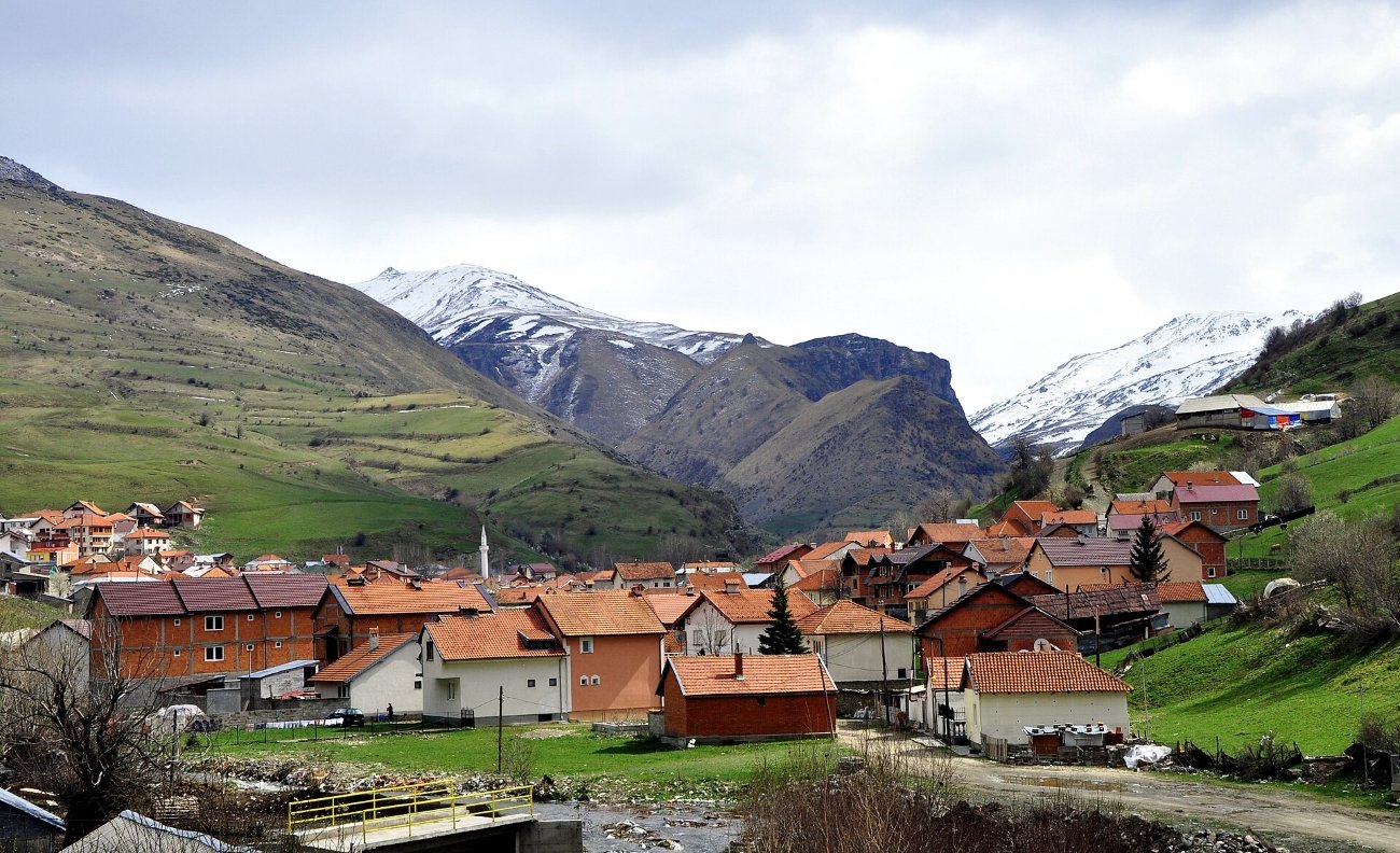
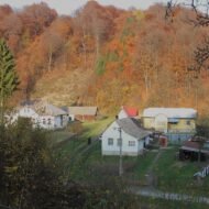
They are a Slavic-speaking Muslim people — which already puts them outside most categories people use for the Balkans — whose homeland, the Gora region, sits at the tripoint of Kosovo, Albania, and North Macedonia in the southern Šar Mountains. They call themselves “Goranci” (highlanders) or “Našinci” — literally, “our people” — and their language “Goranski” or “Našinski,” a dialect so transitional between Macedonian, Serbian, and Bulgarian that Bulgarian, Macedonian, and Serbian linguists have each claimed it for their national language family and none has won the argument. In 1991, a majority of Gora residents simply listed their language as “Gorani” in the Yugoslav census. The category didn’t exist in anyone’s official taxonomy. They created it themselves.
What happened after 1999 is one of the starkest demographic collapses in post-war Europe. Before the war, Kosovo’s Gorani numbered approximately 50,000. By the 2024 census: 9,140. An 82% decline in 26 years, driven not by expulsion but by something slower: economic marginalization, Albanian institutional pressure, Serbian schools that operated under Belgrade’s curriculum because Gorani parents didn’t trust Pristina’s, and the simple calculation that there was no future in Gora for young people and so they left.
The Gorani are not easy to fit into a standard Kosovo War narrative. During the fighting, some Gorani near Kukës in Albania sheltered expelled Kosovar Albanian refugees. After the war, Albanian residents of the merged Dragash municipality boycotted Gorani businesses, viewing them as Serbian collaborators. Both things are true. The Gorani were neither perpetrators nor simple victims; they were a third thing that most accounts of the war don’t have room for.
They also invented Yugoslavia’s pastry industry. For generations, Gorani men left the mountains each autumn as pečalbari — seasonal labor migrants — and returned home with Ottoman-era confectionery skills: baklava, tulumba, šampita, alva, boza. They were described as the best bakers and confectioners in former Yugoslavia, a reputation built across decades of seasonal migration that is now the most distinctive cultural marker their diaspora carries.
What to visit: The town of Dragash (GPS: 42.061°N, 20.652°E) is the practical base, 75 km south of Prizren. The Al-Aga Mosque here claims to be the oldest mosque in Kosovo, built in 1289. From Dragash, the Gora villages are accessible by car along two main road arteries — toward Brod (GPS: 41.992°N, 20.707°E, a village of 900 houses with a ski resort at Arxhena) and toward Restelica. Some village roads are impassable in winter. The weekly market in Dragash sells traditional Gorani clothing: men’s dress around 200–250 euros, women’s costumes over 300. Come in early May if you can — the Djuren/Vlashka festival brings several hundred people to a clearing between Dragash and Kruševo for music, bonfires, dancing, and fairground food: the best single window into living Gorani culture. Accommodation: Hotel Meka in Dragash; Airbnb properties in the area. No public transport into the villages — private vehicle essential.
[Hidden Europe Map: All Gorani villages in Gora are mapped with access notes and GPS coordinates. → /product/hidden-europe-map/]
Szeklerland, Romania — The Last Runic Script in Europe
In 1764, Habsburg troops marched into the Székely village of Mádéfalva and opened fire on a crowd that had gathered to protest military conscription. The dead were thrown into a mass grave. Within months, thousands of Székelys had fled east over the Carpathians into Moldavia, where their descendants — the Csángó — still live today as an isolated Hungarian-speaking Catholic community in a Romanian-majority Orthodox country. Every year at Pentecost, the Csángó make the journey back west to the pilgrimage site at Csíksomlyó, from which their ancestors fled 260 years ago.
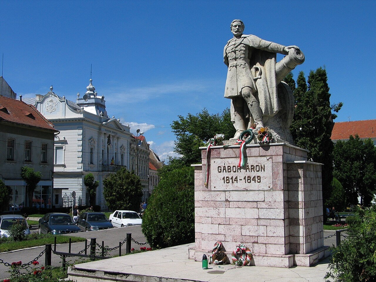
This is the kind of history that Szeklerland runs on. A Hungarian-speaking territory of 670,000 people deep inside Romania, in the eastern Carpathians — three counties, Harghita, Covasna, and Mureș, where Hungarian is spoken in the streets and the towns have two names: the official Romanian and the Hungarian that locals use. Miercurea Ciuc is Csíkszereda. Odorheiu Secuiesc is Székelyudvarhely. All signage is Romanian; all conversation is Hungarian. It is a place of systematic minor dissonances.
The Székelys are Hungarian-speaking but their origin is one of medieval history’s genuinely unsolved puzzles. Medieval chronicles claimed descent from Attila the Hun; modern linguists note their dialect has no Turkic substrate despite theories of Turkic origin; one historian has proposed they were simply refugees and runaways who formed a social category — the word “Székely” deriving from a Hungarian verb meaning “to escape.” Whatever they were, they had something nobody else in medieval Europe possessed: their own writing system.
The Székely runic script — rovásírás — is a right-to-left alphabet written traditionally on wooden sticks and carved into church panels, linguistically linked to Old Turkic script and documented among Székelys as early as a 13th-century chronicle by Simon of Kéza. It is the only pre-Latin indigenous writing system preserved within a Hungarian-speaking population. Linguist Klára Sándor argues that authentic finds exist only within the historic Székely lands — this was never a general Hungarian script, it was specifically Székely. Shepherd boys tracked livestock on tally sticks carved in it. Unicode added it in version 8.0, in 2015. You can type it on your phone now.
In the village of Enlaka (Énlaka) in Harghita County, a wooden panel inside the church carries a runic inscription signed by the craftsman György Muzsnai — one of the few surviving carved examples in a religious building, and one of the most quietly extraordinary things in Romania.
The autonomy question is live and contentious. Szeklerland had autonomous status from 1952 to 1968 under communist Romania; Ceaușescu revoked it. Every legislative attempt to restore it since 2006 has failed. In 2025, the Romanian Football Federation fined a local club over Hungarian and Székely symbols displayed at matches. The Szekler flag — blue and gold with an eight-pointed star and crescent — flies from the Hungarian Parliament in Budapest but is periodically ordered removed from public buildings in Romania. It is the kind of dispute that has no clear end point.
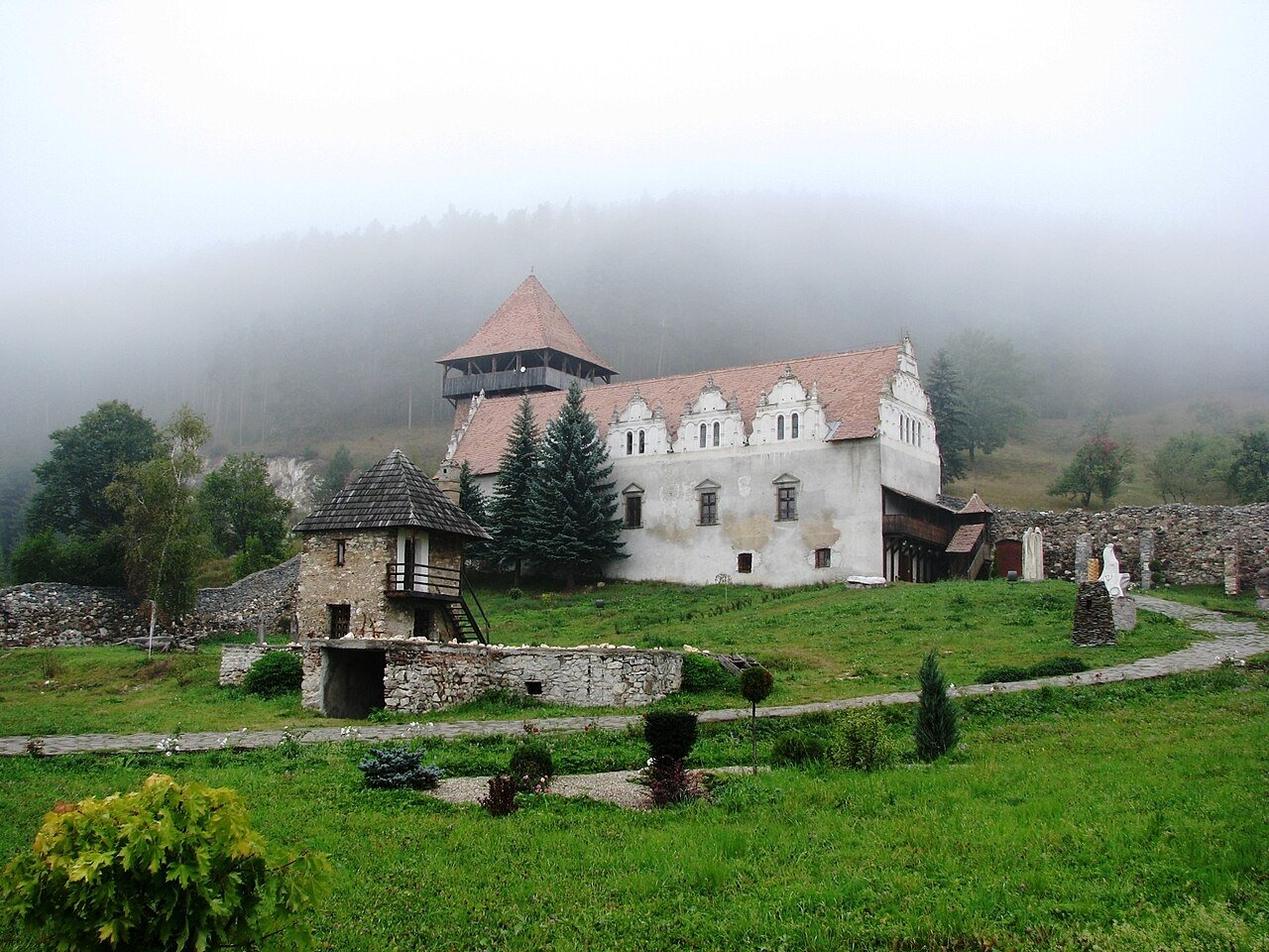
What to visit: Miercurea Ciuc (Csíkszereda, GPS: 46.358°N, 25.802°E) is the main hub. Corund (Korond, GPS: 46.588°N, 25.121°E) is essential: a village of over 600 active potters, the last survivor of approximately 70 pottery centers that once operated across Transylvania. The craft tradition arose directly from a political punishment — after the 1562 Székely uprising, the village lost its salt-trading rights and had to find a new livelihood. Potters’ booths line the main road; you can watch clay being thrown and wood-kilns fired and buy directly from workshops. The Csíksomlyó Franciscan sanctuary near Miercurea Ciuc (GPS: 46.361°N, 25.802°E) draws 300,000–400,000 people annually at Pentecost — one of the largest regular mass gatherings in Europe, and almost entirely absent from English travel coverage. For Szekler gates (székelykapu), hand-carved wooden double gates with geometric and floral motifs, the Târnava Mică and Niraj valleys in Mureș County have the highest concentrations. The Haszmann Pál Museum in Covasna County covers Szekler material culture in depth.
[Hidden Europe Map: Full mapping of Szekler gate villages, Corund workshops, and the Enlaka runic panel site. → /product/hidden-europe-map/]
The Walser Valleys — The Freest Peasants in Medieval Europe
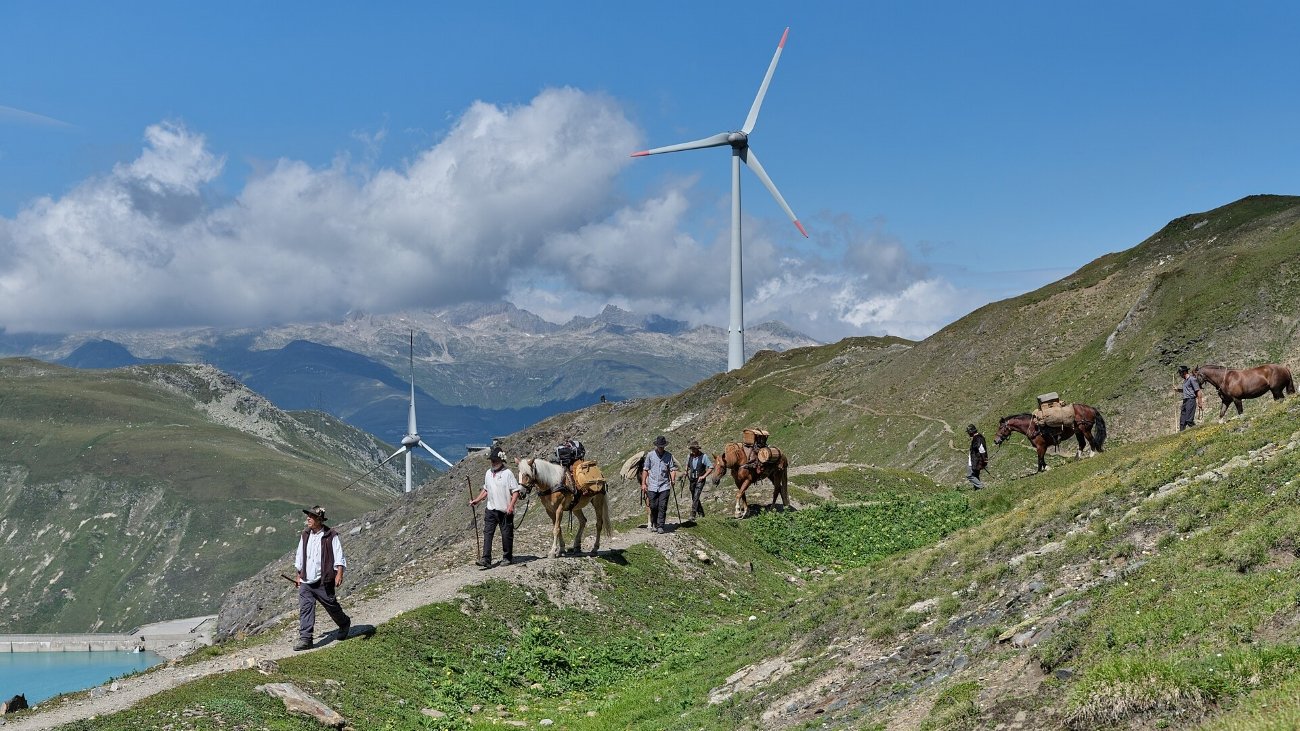
Somewhere around 1240, a group of settlers crossed the Gries Pass from the Upper Rhône Valley into the Italian Alps and founded a village called Bosco, which they spelled in their dialect as Gurin. The lords of Lombardy needed people to defend mountain passes and had noticed that Walsers — Germanic farmers from the Upper Valais — would go anywhere and live at any altitude if you gave them the right deal. The deal was the Walserrecht: personal freedom, hereditary land rights, judicial self-governance, freedom of movement. In exchange: moderate rent and military service.
At a time when the standard arrangement for European peasants was serfdom, this was extraordinary. Neighboring lords in the Bernese Highlands were literally selling their residents to monasteries. The Walsers negotiated their way out of the feudal system entirely, and the price they paid was altitude.
Between roughly 1150 and 1450, Walser settlers spread across approximately 150 communities at elevations above 1,500 meters in what is now Switzerland, Italy, Liechtenstein, Austria, France, and Germany — a 350-kilometer arc of mountain settlements, each one the result of a specific feudal negotiation with a specific lord who needed specific terrain held. Walsers reached Davos in 1289, Gressoney in the Aosta Valley in the 12th century, Triesenberg in Liechtenstein, and a handful of Vorarlberg valleys in Austria. Their courts were not dissolved in Switzerland until 1805.
Their houses are unmistakable once you know what you’re looking at: interlocking larch logs (Blockbau), steep roofs for alpine snow, and a specific ritual architectural feature called the Seelabalga — a small sliding wooden panel in the wall through which the dead were passed. Not through the front door. Through the wall. The soul, Walser tradition held, should leave by a different route than the living. A surviving example can be seen in the Gretahuus in Monstein, near Davos.
Their language — Walser German, or Walserdeutsch — is Highest Alemannic, with “barely any mutual intelligibility” with Standard German, classified by UNESCO as “Severely Endangered.” The varieties differ so much between communities that speakers from different valleys can barely understand each other: 700 years of mountain isolation evolved distinct phonologies independently. A 2024 genetic study published in Forensic Science International: Genetics confirmed that the Walser migrations left measurable genetic signatures, with the most isolated communities — Lötschental, Vals, Gressoney — showing the greatest genetic differentiation from neighboring Alpine populations.
What to visit: Bosco/Gurin (GPS: 46.317°N, 8.500°E) in Ticino, Switzerland, has 52 residents — down from 382 in 1850. It is the highest municipality in the canton and the only one where German is a co-official language. The entire village is listed as a Swiss heritage site of national significance; the Walserhaus museum has been open since 1936. Gressoney-La-Trinité (GPS: 45.833°N, 7.833°E) in the Aosta Valley, Italy, has 322 residents and two distinct Walser dialects surviving in its valley — Greschòneytitsch in Gressoney, Töitschu in the lower village of Issime. The Eco-museum includes a farmstead with wohngade (living quarters), barn, and a hut built into a rock face. The nearby castle at Gressoney-Saint-Jean was built 1899–1904 for Queen Margaret of Italy. Alagna Valsesia in Piedmont received a Europa Nostra heritage award for the preservation of its Walser houses. Triesenberg in Liechtenstein has the Walsermuseum, which labels tools in both German and Walser. The Walser Architecture Trail in the Davos area (Graubünden) connects the 1533 Obere Huus in Spina, the Gretahuus in Monstein, and the 14th-century St. Nicholas Church in Glaris.
[Hidden Europe Map: All major Walser communities mapped with dialect survival status and museum access details. → /product/hidden-europe-map/]
The Aragonese Pyrenees — Seven Hundred Speakers, One Teacher, One Hour a Week
In the village of Hecho, in the western Aragonese Pyrenees, there is one teacher of the local dialect. Her name is Lucía Cajal. She has been teaching Cheso — the dialect of the Hecho valley, a variety of Aragonese that has been spoken in these mountains since the 13th century — since 2015. She teaches one hour per week, at each level from preschool through early secondary school. The preschoolers attend, because the class happens during school hours. The older students often can’t, because it’s scheduled after-hours and families have other commitments. Total speakers of Cheso in the valley: approximately 700.
The number that matters more: one. One teacher. One hour.
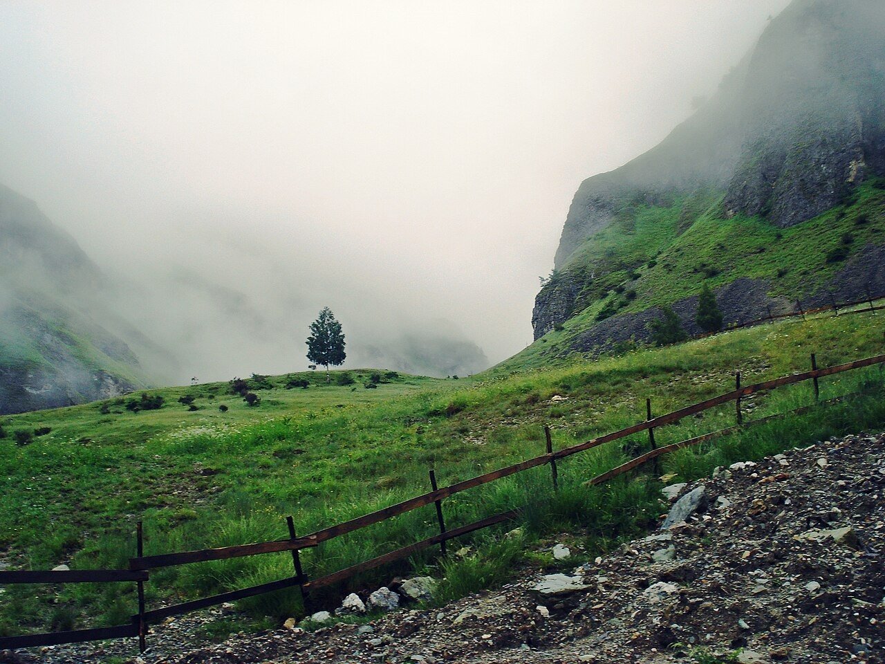
The Aragonese Pyrenees run along Spain’s northern border in a zone of extraordinary linguistic density. Aragonese proper (aragonés, or fabla) is classified by UNESCO as “Definitely Endangered” with 10,000–12,000 active speakers across the Pyrenean valleys of Somontano, Jacetania, and Sobrarbe. In the Benasque Valley to the east, a related but distinct variety — Patués, or Benasquese — is transitional between Aragonese, Catalan, and Gascon, classified by linguists variously as a dialect of all three or as none of them, a language in its own right that emerged at the intersection of three Romance varieties in a high valley that was always a crossroads. About 1,000–2,000 people still speak it; Benasque’s town council has held an annual poetry competition in Patués since 1999.
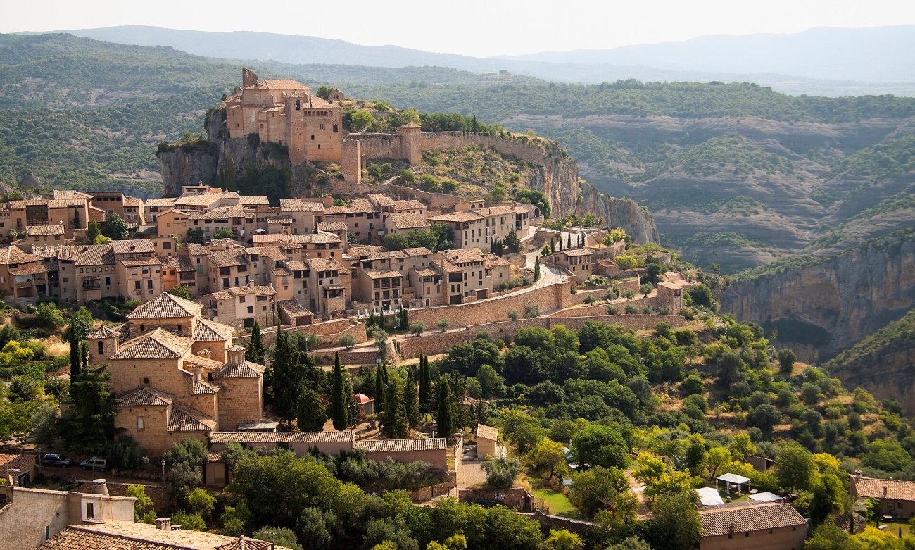
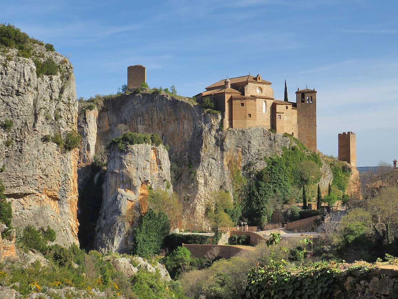
What these valleys have in addition to endangered languages is an extraordinary density of 11th and 12th century Romanesque architecture within a 50-kilometer radius. The Cathedral of San Pedro in Jaca (begun 1070s) is where the “Jaca-style” emerged — a checkerboard molding of small raised cylinders that became a template exported across medieval Spain. Santa María de Iguácel (built 1040, remodeled 1072), the Church of San Caprasio in Santa Cruz de la Serós (1020–1030), the Monastery of San Juan de la Peña (consecrated 1094, site of the first Roman Rite liturgy in Aragon in 1071, holding the pantheon of early Aragonese monarchs in a cloister cut directly into a rock face). All within range of a morning’s drive from Jaca.
Ansó (GPS: 42.759°N, 0.818°W), 40 km west of Jaca, has 409 residents — down from 523 in 2004, a 22% decline in 21 years. It’s one of Spain’s formally designated “Most Beautiful Villages” and a Historic-Artistic Site. Its medieval center has callizos — passages between houses barely half a meter wide — and a 14th-century tower house that once held Blanca II of Navarre as a prisoner after she lost her throne. The surrounding valley is one of the least developed in the Aragonese Pyrenees; brown bears still live here. Hecho (GPS: 42.727°N, 0.748°W), 10 km east of Ansó, has the Cheso school, a Casa Mazo Ethnological Museum, a permanent outdoor sculpture exhibition in the landscape, and the Monastery of San Pedro in Siresa 5 km up the valley — where the 13th-century church inventory that contains the earliest written evidence of Cheso was found. Benasque (GPS: 42.605°N, 0.523°E) has the Palacio de los Condes de Ribagorza (16th-century Renaissance palace, now a cultural center), an 11th-century Romanesque church in the main square, and the highest peak in the Pyrenees, Aneto (3,404m), visible from the valley.
Access: Jaca is the regional hub (3 hours from Zaragoza by car; no direct rail to the western valleys). Ansó and Hecho are 40–50 km from Jaca by car, with no reliable public transport into the villages. Benasque is 100 km east of Jaca.
[Hidden Europe Map: The complete Romanesque circuit, Cheso school details, and access routes for all three valleys. → /product/hidden-europe-map/]
Ruthenia, Slovakia — The People Whose Homeland Changed Hands Five Times in Thirty Years
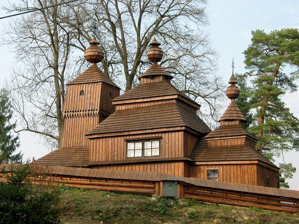
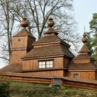
The UNESCO list of World Heritage Sites contains eight wooden churches in the Slovak Carpathians. They were built by Rusyn communities — Greek Catholic and Orthodox — between the 15th and 18th centuries, in a zone of mountains that has been divided and redistributed between Czechoslovakia, Hungary, Poland, Ukraine, and the Soviet Union so many times in the 20th century that the people who lived there never fully belonged to any of them.
The Rusyns — also called Ruthenes, or Rusins — are a distinct East Slavic people whose homeland, Ruthenia or Transcarpathia, was divided after World War I between four states. Between 1918 and 1948 it passed through Hungarian, Czechoslovak, Hungarian again (1938–1944), Soviet, and finally Ukrainian and Slovak jurisdiction, each administration bringing a different official language, a different curriculum, and a different name for the people who lived there. Some Rusyns identify as a distinct nationality; others as Ukrainians, Slovaks, or Poles, depending on which side of the border they ended up on and which political pressure came to bear. Slovakia officially recognized the Rusyns as a national minority. In the 2021 Slovak census, 63,556 people identified as Rusyn — nearly double the 2011 figure. A community rediscovering itself.
But before the statistics, there is Thalerhof.
In 1914, at the outbreak of World War I, Austria-Hungary designated Rusyns who identified as Russian-sympathizers as a security threat. They were arrested — not in battle, not as combatants — and transported to an open field near Graz called Thalerhof. No barracks, no sanitation, no shelter, for months in the Austrian autumn and winter. Thousands died of typhus and exposure. Thalerhof was the first mass civilian internment camp in European history. It is now under Graz Airport’s southern apron. Austria has never formally acknowledged it.
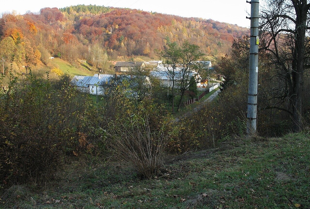
This is the history behind the wooden churches. When you stand inside the church at Bodružal (GPS: 49.353°N, 21.708°E), built 1658, with its three-tier tower and intact 18th-century iconostasis, you are standing in a building the Rusyns managed to keep through every political upheaval of the 20th century. The church at Ladomirová (GPS: 49.329°N, 21.626°E), built 1742, has its original bell tower and surviving frescoes. Hervartov, near Bardejov, dates to the 15th century — the oldest on the UNESCO list. These buildings outlasted everything: the empires, the borders, the internment camps, the deportations. They are still there.
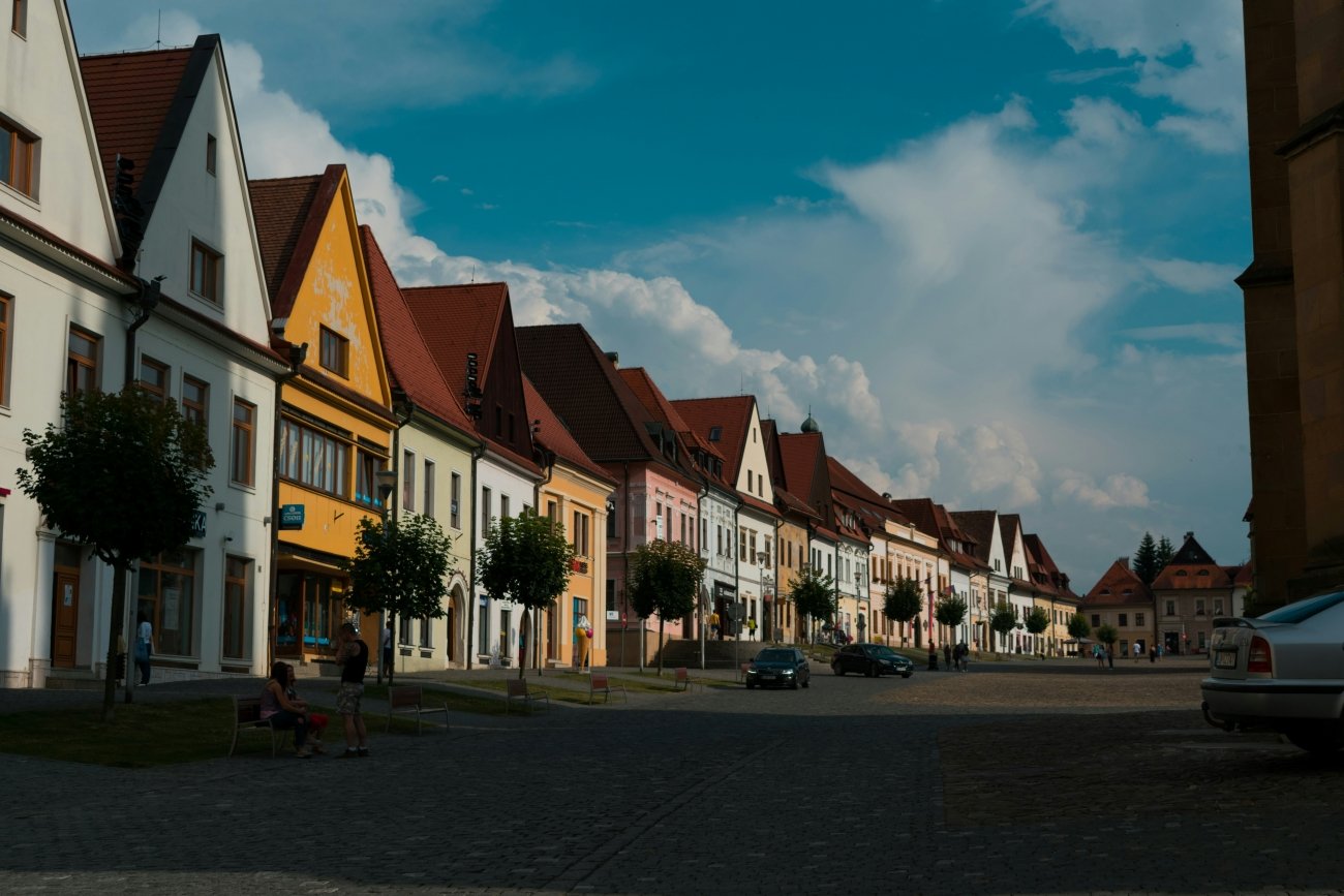
What to visit: Bardejov is the base — a well-preserved medieval town with UNESCO listing of its own (historic center), about 1.5 hours from Košice by train. The wooden churches are 20–40 km from Bardejov by car; a hire car is essential, as no public transport connects them reliably. Plan weekday morning visits — the churches do not publish English-language opening hours; local tourism offices can confirm access. The Svidník Museum of Ukrainian-Rusyn Folk Architecture (GPS: 49.302°N, 21.566°E) is an open-air museum 30 km from Bardejov with a relocated 1766 church, traditional farmhouses, and agricultural buildings across 10 hectares. It is the single best place to understand Rusyn material culture in context.
[Hidden Europe Map: All eight UNESCO Rusyn wooden churches mapped with access notes, opening guidance, and the Thalerhof historical connection. → /product/hidden-europe-map/]
What the Paid Guide Contains
The Hidden Europe Map covers all five regions in this article with full GPS coordinates, village-by-village access notes, and verified historical context that goes further than what’s here.
For the mountain homelands specifically, the paid material covers five extended cluster guides:
The Gora Villages — all 18 Kosovo Gorani villages with current population figures, road condition notes, and the Albanian Gora circuit (Shishtavec, Borje, and the Ottoman gunsmithing centers, reachable from Kukës).
Szeklerland Deep Circuit — the full gate-village route through Harghita and Covasna counties, with Corund pottery workshops, the Enlaka runic panel site, the Csíksomlyó Pentecost timing, and the Csángó villages in Moldavia that received their population from the 1764 Mádéfalva massacre.
The Walser Arc — a connected itinerary through the Lys Valley in Italy (Gressoney and Issime), Val Formazza (where Titsch is taught in primary schools), Alagna Valsesia, and Bosco/Gurin, with language survival notes per community and the Walser Architecture Trail in the Davos area.
The Aragonese Pyrenean Circuit — the full Romanesque route from Jaca through Ansó, Hecho, Siresa, and San Juan de la Peña, with Patués-language details for Benasque, the Navatas timber-float festival dates, and the Ordesa Valley approach from Broto.
The Rusyn Wooden Church Circuit — all eight UNESCO churches with access verified against local sources, the Thalerhof historical documentation, and the Transcarpathian Ukrainian extension (Uzhhorod, Mukachevo) for readers who want to continue the Rusyn world east of the Slovak border.
GPS coordinates in this article are for general orientation. Verify current access conditions before visiting. Most mountain villages have seasonal road closures and limited public transport.
All articles in the Europe’s Missing Coordinates series cover locations with GPS coordinates, verified history, and access details. See all articles in the series.