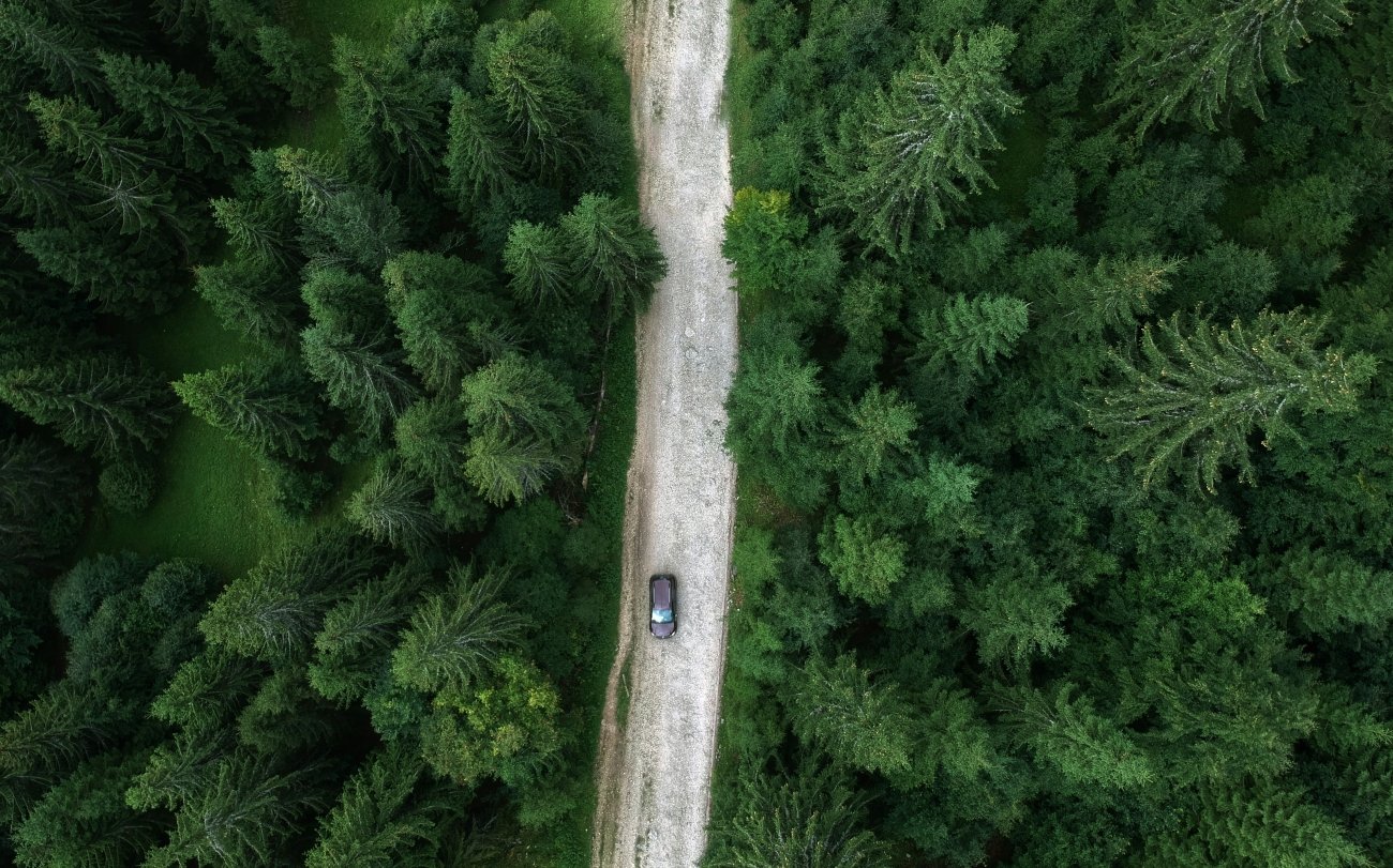
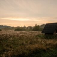
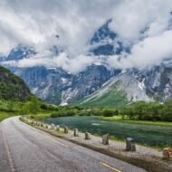
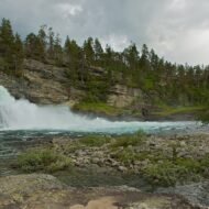
There is a category of European landscape that does not appear in the standard itinerary because it does not fit the standard itinerary’s logic. The fjords have their platforms. The Alps have their cable cars. The ancient ruins have their entrance queues. What the standard itinerary cannot process is a valley — a long, steep-sided, difficult-to-reach valley where the road ends or does not exist, where the accommodation is a farmer’s spare room, and where the thing that makes it worth the journey is precisely the absence of the infrastructure that would explain why it is worth the journey.
These five valleys are not obscure for want of quality. They are obscure because they are valleys, and Europe’s tourism machine is not built for valleys. It is built for viewpoints.
01. Padiș Plateau, Romania
The Valley Where Rivers Vanish Underground
GPS (plateau clearing): 46.5636°N · 22.7019°E GPS (Cetățile Ponorului entrance): 46.5635°N · 22.7012°E
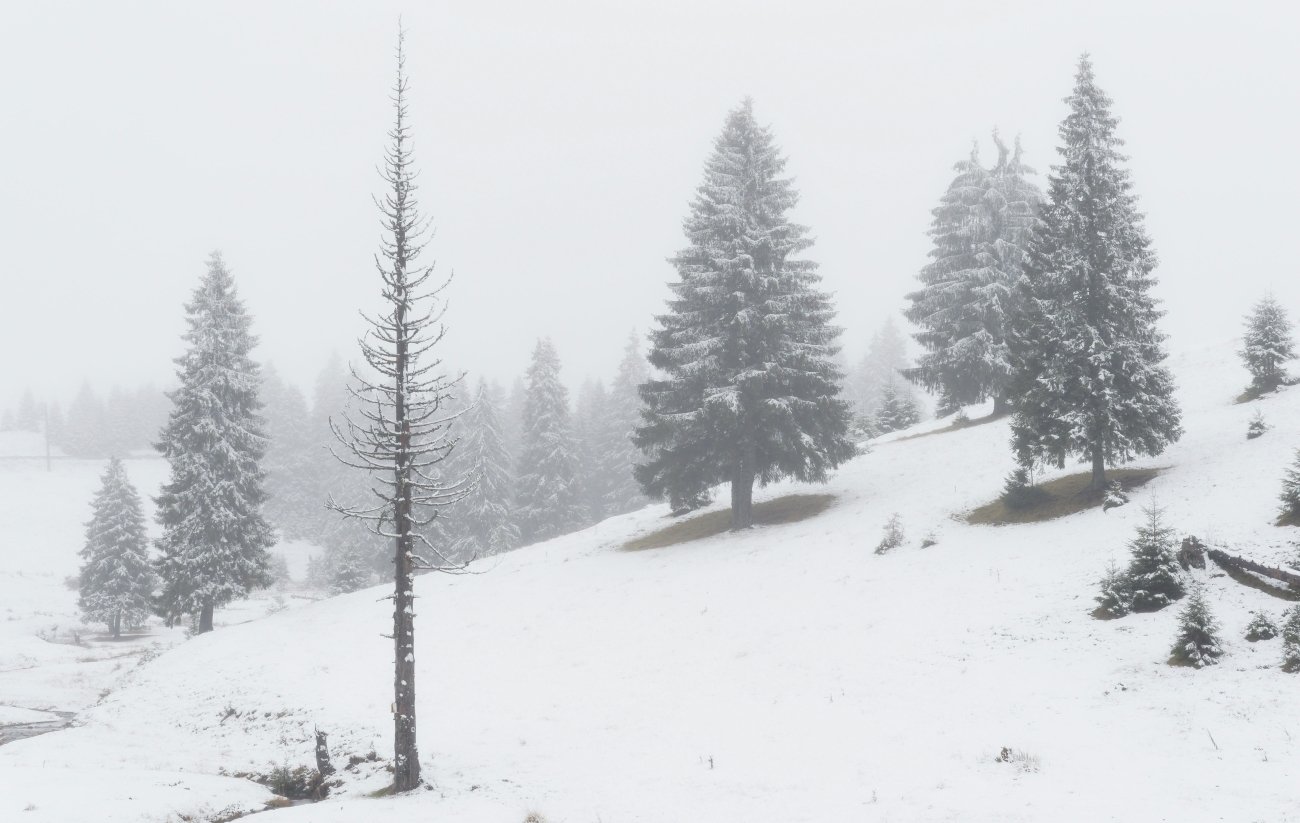
The Padiș Plateau sits in the western Apuseni Mountains of Romania at approximately 1,200 metres, and it is not, in the strict sense, a valley. It is the absence of one. The rivers that should flow across it do not — they vanish. They find cracks in the limestone karst and drop underground, emerging kilometres away in a different drainage basin, at a different altitude, at a different time. The hydrology of Padiș is organised vertically, not horizontally. The plateau is, in effect, a mountain that has eaten its own rivers.
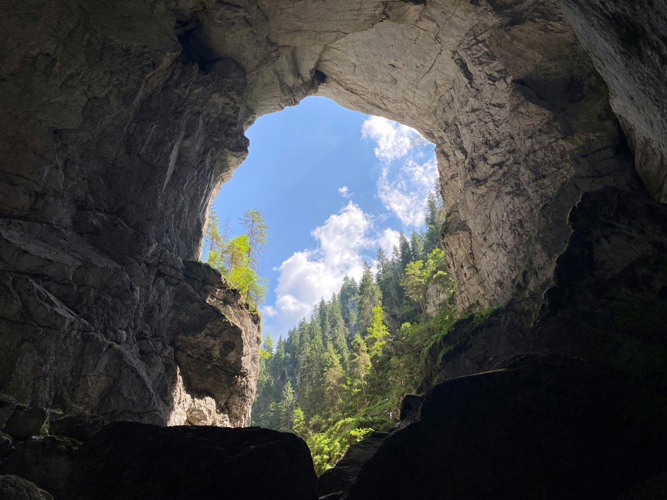
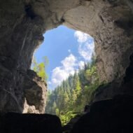
The principal monument of this eating is Cetățile Ponorului — “the Fortresses of the Ponor,” named after the swallow holes where rivers are consumed. Three massive dolines, or collapse sinkholes, form a natural limestone amphitheatre: walls 100 metres vertical, the largest entrance portal 70 metres high and 30 metres wide, the cave gallery beyond it running 3,800 metres into the mountain with ceiling heights that match the entry portal. It is Romania’s largest karst complex and what Romanian cavers call “the Everest of Romanian speleology” — a name that refers to difficulty and consequence, not merely scale. Fourteen underground lakes. A gallery called the Venetian passage. Formations called the Stone Flower Hall. And at the back, where the surveyed gallery meets a flooded siphon that closes further exploration, a silence that has nothing to do with the absence of sound.
The first explorers reached 200 metres in 1927. The final accessible siphon was reached in 1957. The cave continues beyond it.
To reach the outer chamber requires rubber boots and a headlamp. To go further requires a climbing harness, a rope, and a neoprene drysuit. The distinction matters: the outer section is accessible and, in dry conditions, presents no exceptional danger. The same cave, after 48 hours of rain in the Apuseni catchment, is not accessible at all. The underground river that constitutes the cave’s main artery rises and falls with a violence that traps parties who enter in dry conditions. This is not hypothetical. The cave breathes with the weather, and you must read both to enter it safely.
The plateau around Cetățile Ponorului was inhabited until relatively recently by the moți — a distinct mountain people of the Apuseni who practised transhumant shepherding and a seasonal economy based on animal husbandry and forestry. When the Austro-Hungarian explorer Gyula Czárán arrived in the late 19th century to build viewing platforms and trails into the doline walls, local shepherds initially believed him to be a malicious forest spirit. He eventually persuaded them to become collaborators, and together they built balconies onto the cliff faces so that visitors could look down into the cave entrance. The balconies have long since collapsed. The cave entrance looks the same as it did before anyone built anything to look at it from.
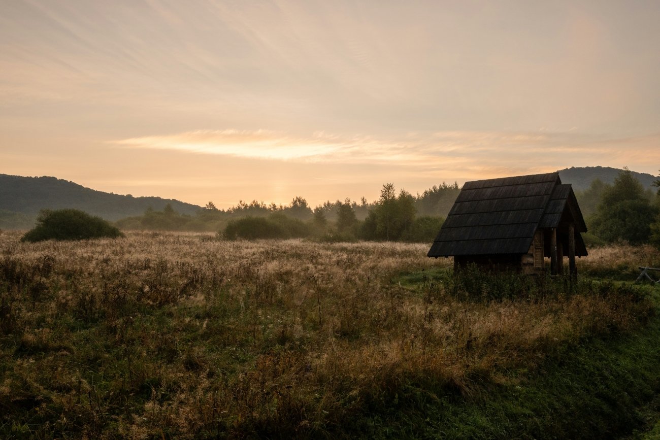
The plateau has no permanent population now. The depopulation was not forced — it was the ordinary attrition of a mountain economy that could no longer compete with lowland alternatives. The paths between grazing grounds still exist. The karst still swallows its rivers.
Access. No public transport. Western approach: Oradea → Beiuș → Pietroasa → Boga → Padiș, approximately 110 km on roads that are asphalted in their lower sections and unpaved above. Eastern approach: Cluj-Napoca → Huedin → Răchițele → Padiș, approximately 110 km. From the plateau clearing, Cetățile Ponorului is a 5–6 hour return hike on blue-dot waymarks. Do not enter the cave within 48 hours of any significant rainfall. Brown bears and wolves are resident throughout the plateau; the wildlife here is not managed.
Best season: Late July to September.
02. Bieszczady, Poland
The Valley of Empty Villages
GPS (park entrance): 49.2880°N · 22.4970°E
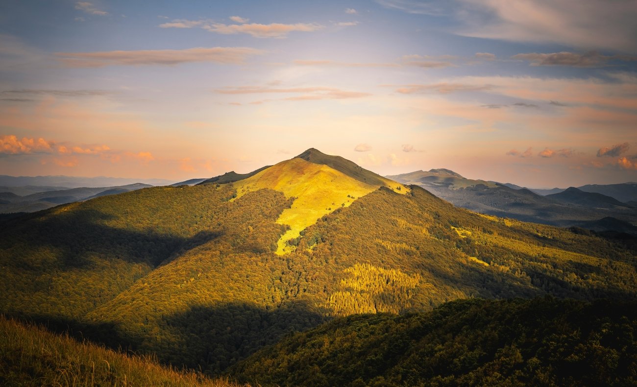
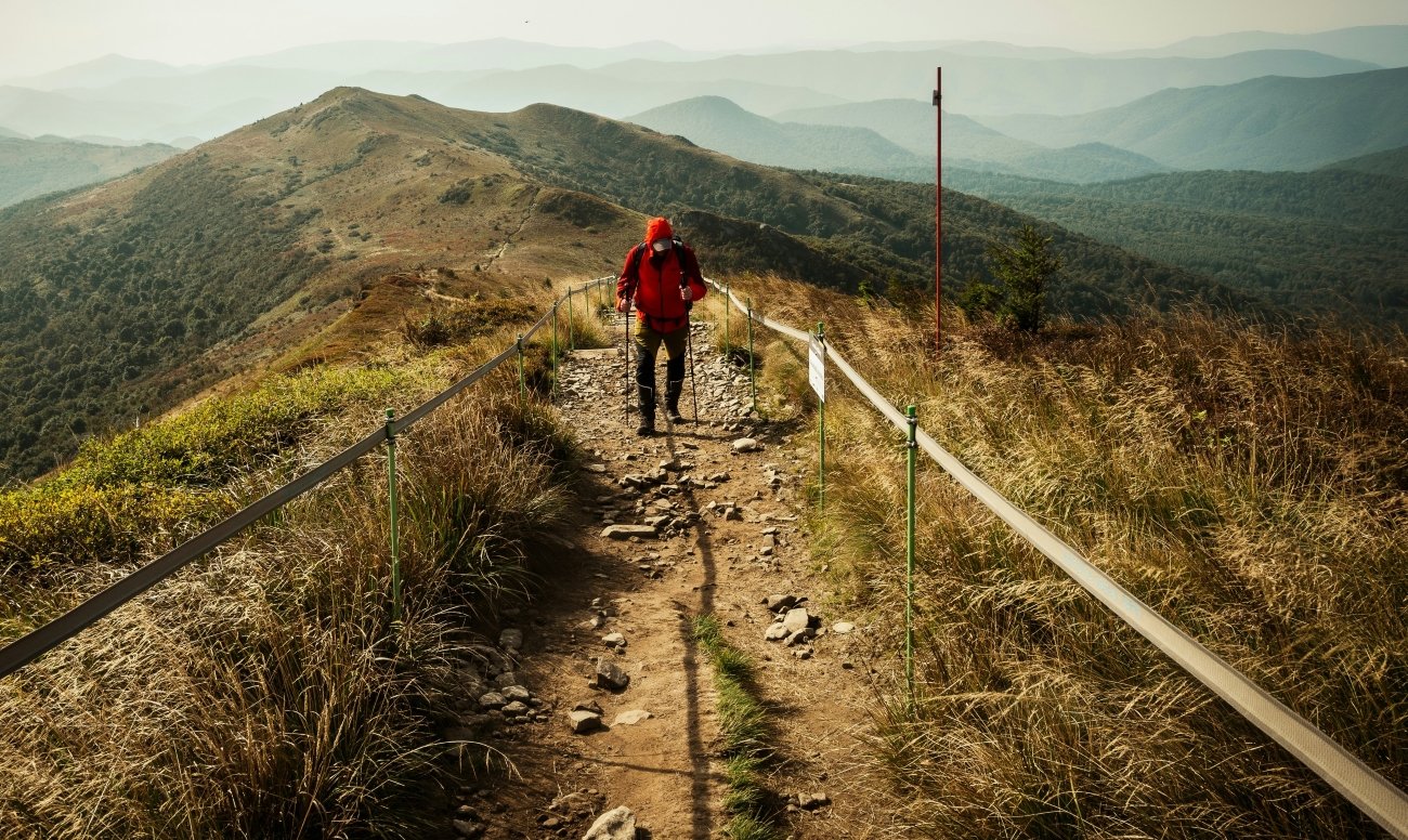
Walk far enough through the beech forest in the Bieszczady mountains of southeastern Poland and you will find, in the wrong place, an apple tree. Then a root cellar with no house attached to it. Then a fruit garden with no road leading to it, at an altitude where no one plants fruit gardens now. What you are standing in is a village. It was emptied between 28 April and 31 July 1947, and the forest has been growing back through it ever since.
Operation Wisła — Operation Vistula — was the largest forced population transfer in Polish post-war history. Between those two dates in 1947, the Polish communist government relocated approximately 141,000 ethnic Ukrainians, Lemkos, Boykos, and Rusyns from southeastern Poland to the “Recovered Territories” in the north and west — the former German lands acquired after the war. The official pretext was counter-insurgency: the Ukrainian Insurgent Army was active in the mountains, and General Karol Świerczewski had been killed near Jabłonki in March. The actual mechanism was ethnic cleansing. Deportees were deliberately scattered so that Ukrainians constituted no more than ten percent of any local community. The instruction was bureaucratic. The result was demographic erasure.
In Lutowiska municipality alone — the administrative area that covers much of what is now the national park — population fell from 21,398 in 1935 to 2,145 in 1994. Of 28 pre-war villages, seventeen are now inhabited. Six disappeared settlements were formally absorbed into the national park as uninhabited nature zones: Bukowiec, Beniowa, Carynskie, Dzwiniacz, Tarnawa, Sokoliki. They are on the maps, nameless now as settlements, full of apple trees.
About 5,000 Lemko families were permitted to return in 1957–58. They found their land resettled.
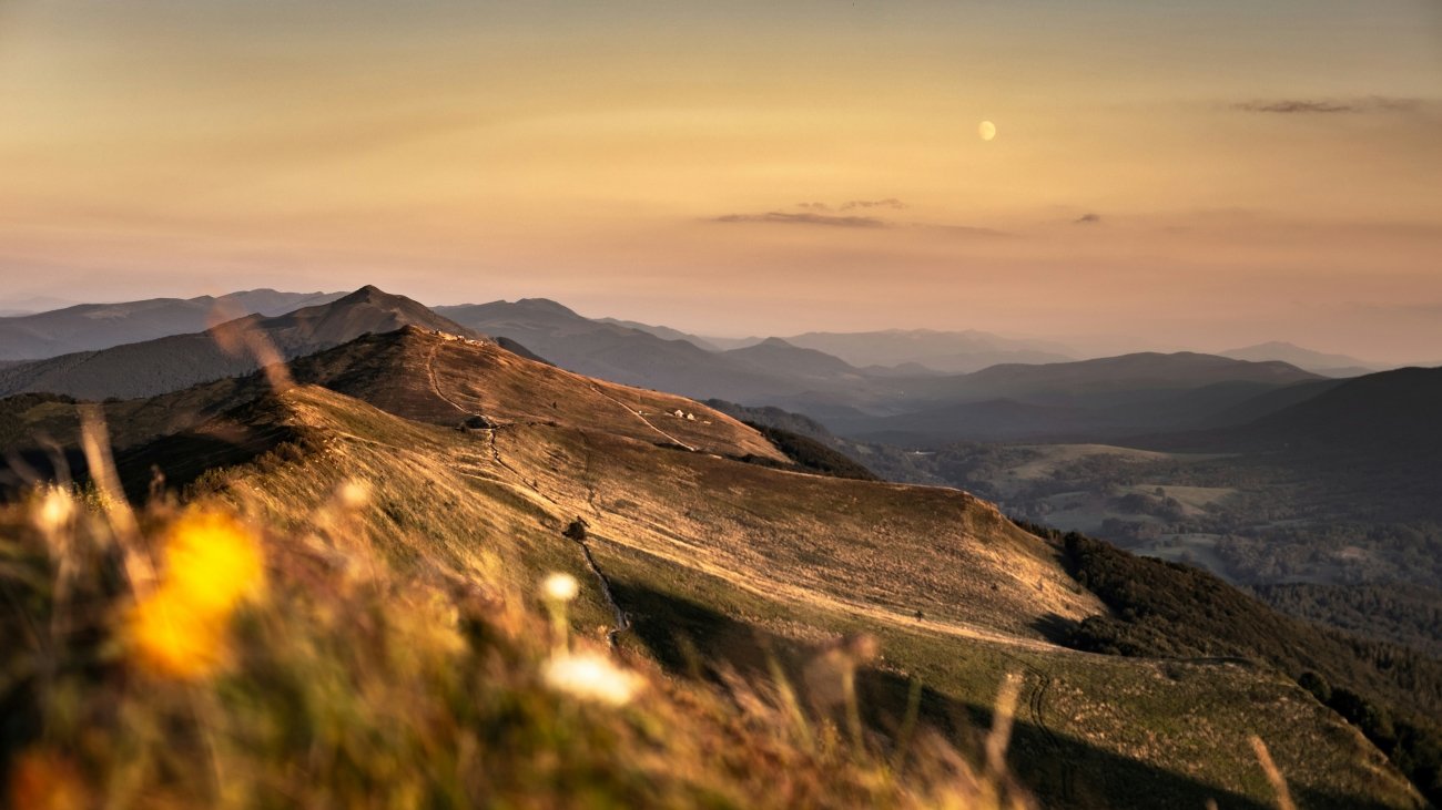
The landscape that resulted from this — the emptying, the abandonment, the 75 years of ecological succession since — is what the Bieszczady now are. The poloniny, the open alpine meadow ridges that run along the highest ground, are not natural grassland. They are abandoned farmland. The Carpathian forest — beech, fir, sycamore, spruce — has been reclaiming them since 1947, and over 80 percent of the former Lutowiska municipality is now forested. Brown bears, grey wolves, Eurasian lynx, and European bison move through this forest without reference to the administrative borders of the national park, which covers 292 square kilometres and designates approximately 70 percent as strict reserve requiring a written permit to enter.
The bison are reintroduced. The species was extinct in the wild by 1927, hunted to elimination across its entire European range. The East Carpathian herd — shared across the borderlands of Poland, Ukraine, and Slovakia — now numbers over 500. It is one of the largest free-ranging bison populations in Europe. It exists in a landscape created by ethnic cleansing, maintained by the absence of the people who were removed, and rewilded by the very emptiness that was their dispossession.
The Bieszczady do not advertise this. The tourist material describes the poloniny views, the wildlife, the walking trails. The apple trees in the forest are not on any official map. But they are everywhere, if you walk far enough.
Access. Gateway towns: Ustrzyki Dolne or Sanok, reached by bus from Rzeszów or Przemyśl. Highest point in the Polish Bieszczady: Tarnica, 1,346 m, accessed from the village of Wołosate near the Ukrainian border. Much of the strict reserve requires advance written permits from the park authority in Ustrzyki Dolne.
Best season: June to October for walking. November to March for snow and the particular silence of an empty forest in winter.
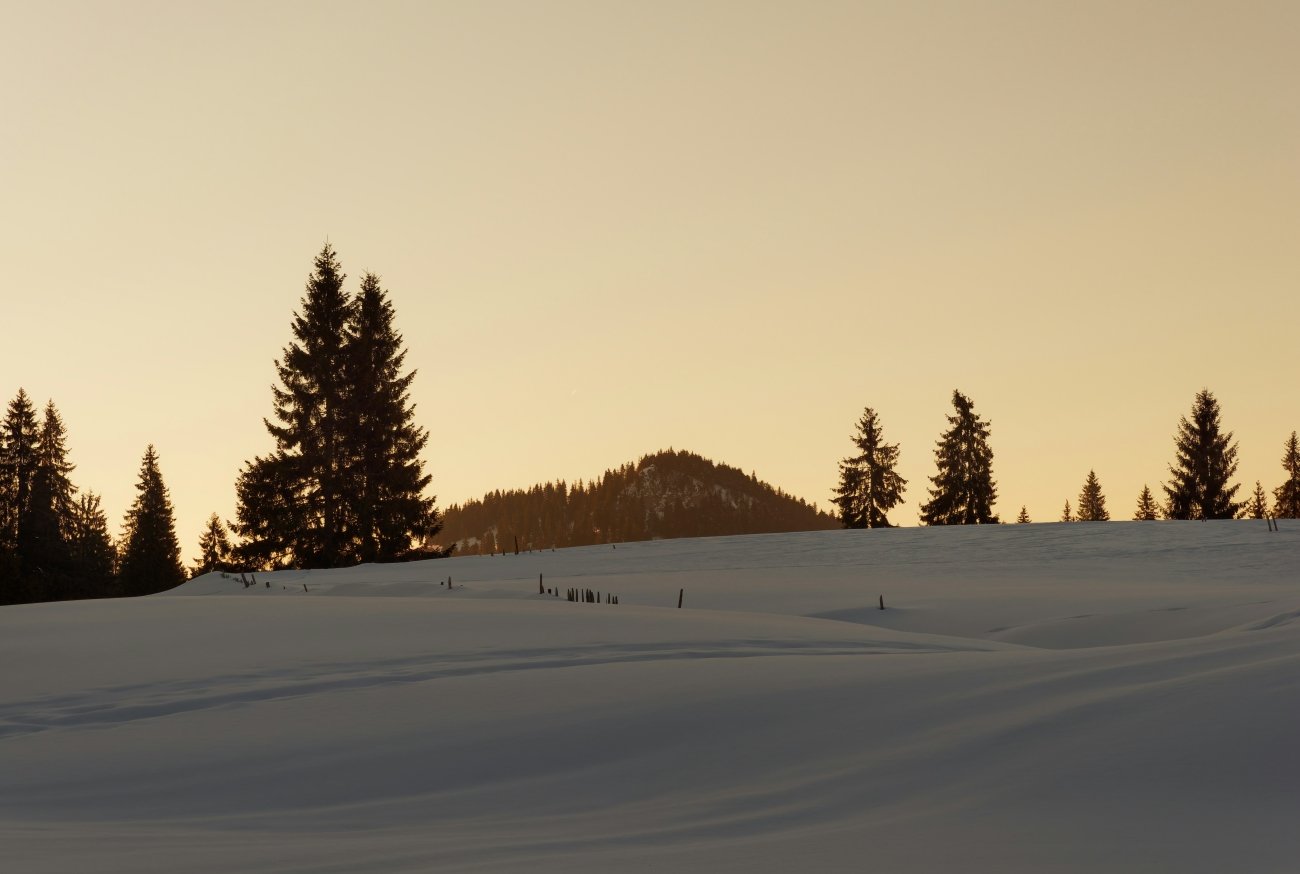
→ The disappeared settlements of the Bieszczady in depth: Wołkowyja: Poland’s Lost Village in the Bieszczady
03. Valbona, Albania
The Last Wild Valley of the Balkans
GPS (Valbona village): 42.4533°N · 19.8878°E GPS (Valbona Pass): 42.4058°N · 19.8153°E · elevation 1,795 m
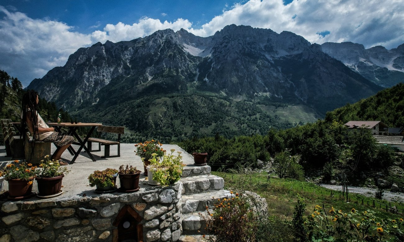
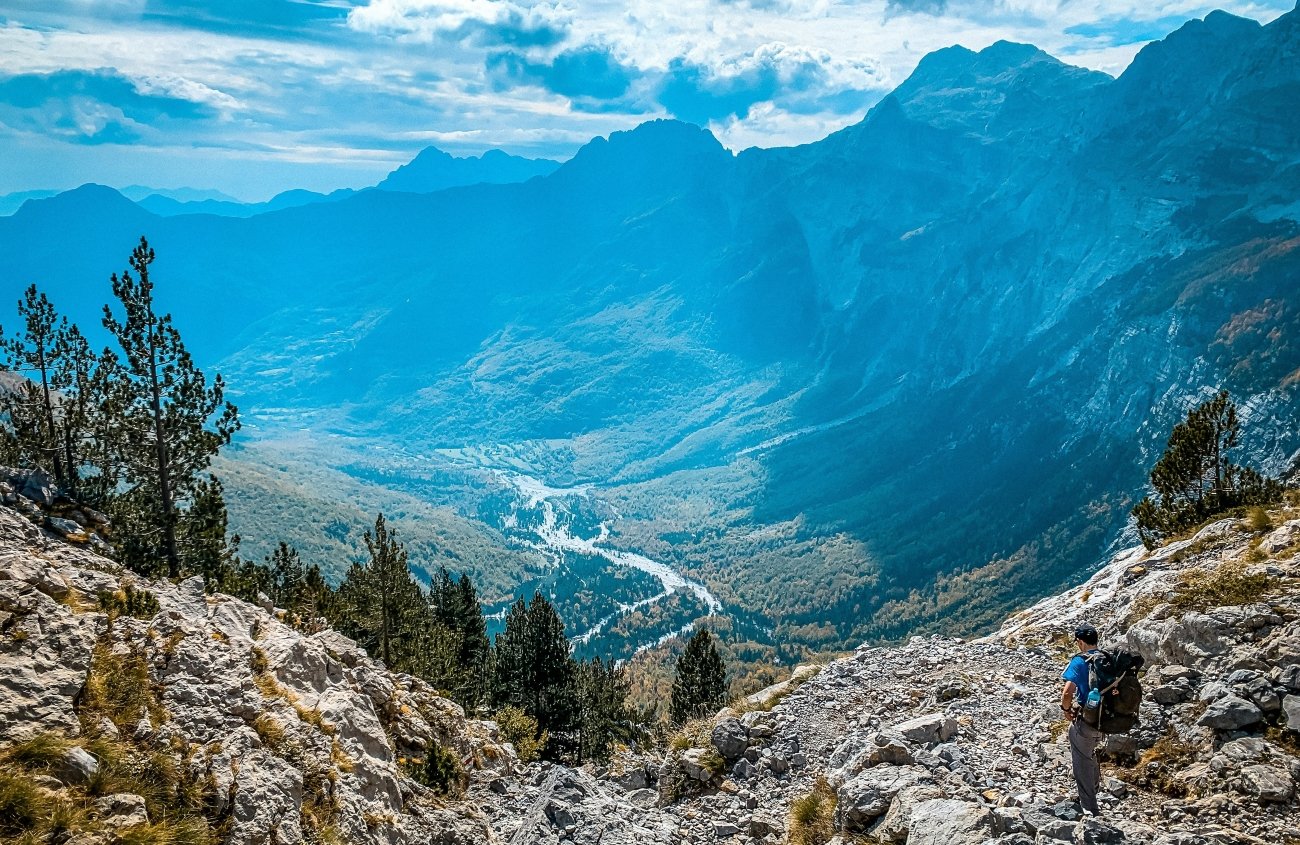
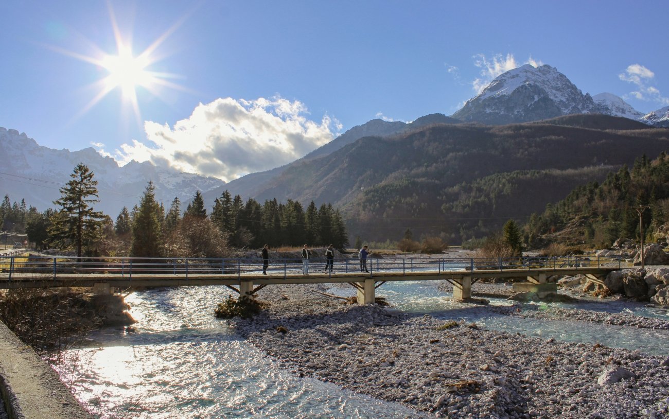
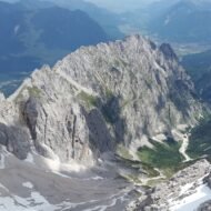
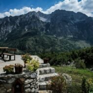
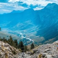
The Albanian name for the mountains above Valbona is Bjeshkët e Namuna — the Accursed Mountains. The name predates the Ottomans and means simply: impassable terrain. It is a geographic description, not a curse, and it is accurate. The Triassic limestone and dolomite of the Dinaric Alps here form a series of peaks — Maja Jezercë at 2,694 metres (the highest point in the entire Dinaric chain), Mali i Hekurave at 2,560 metres, Maja e Rosit at 2,525 metres — that produce a skyline as dramatic as anything in the Alps and a terrain that is, above the treeline, bare karst pavement: no soil, no water retention, no path that stays a path in two consecutive seasons.
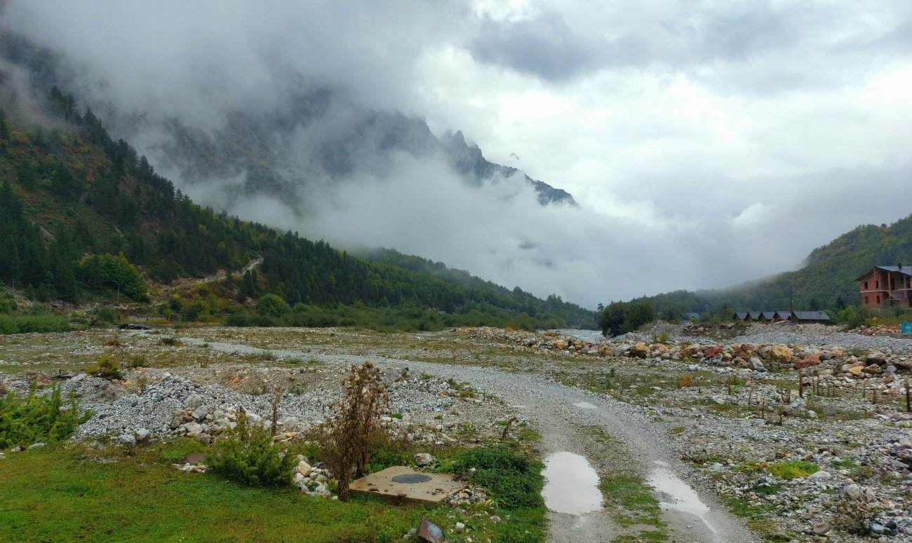
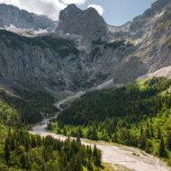
Below the treeline, the glacial trough valley of Valbona runs approximately 50 kilometres at around 1,000 metres of elevation, with the Valbona River running its length. The forest on the valley sides is mixed beech and fir. The valley floor has perhaps a dozen villages, several dozen guesthouses — bujtina, traditional host houses offering half-board and a shared bathrooom — and no road that connects it to the valley of Theth on the other side of the pass.
That road does not exist because the pass at 1,795 metres cannot sustain one. The only connection between Valbona and Theth is the trail: 15 kilometres, 800 metres of ascent, 1,000 metres of descent, 7 to 8 hours. It is not a difficult trail by alpine standards — it does not require technical equipment — but it requires commitment in both directions, because the alternative return route involves the Koman Lake ferry (2.5 hours), a van transfer, and a total journey of perhaps 5 to 6 hours each way from Shkodër. These two valleys, separated by a 45-minute drive if there were a road, are separated by half a day if there is not.
Under Enver Hoxha (1944–1985), the mountains were militarised. Foreigners were prohibited from entering. Internal movement between municipalities required police documentation. The valleys were not secret — they were simply unreachable, and had been unreachable in the modern sense for forty years by the time Albania opened. Kol Gjoni’s family opened Valbona’s first guesthouse in 1992, before any paved road reached the valley. International trekking began in any organised sense around 2012–2013, when the Peaks of the Balkans trail network was formally mapped and waymarked across Albania, Kosovo, and Montenegro — by a Swiss NGO, using GPS equipment, with waymarking installed in Valbona as recently as 2013. The first reliable published trail information appeared online around 2010. This is not ancient history.
The valley has been losing its young population for decades — some villages recorded 50 to 60 percent population decline between 1995 and 2002 alone — and the trekking economy has not, at current volumes, reversed that. What has changed is that the passes have names on maps now, and the maps are online, and people know the trail exists. The valley is not discovered. It is in the early stages of being findable.
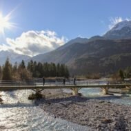
The Valbona River, in October, runs low and clear over limestone gravel. The beech forest on the valley sides has turned. The peaks above the treeline are grey-white limestone against a sky that at this latitude, in this season, is a very specific shade of Balkan autumn blue that no photograph reproduces correctly. There are not yet enough visitors to change this. There will be.
Access. Shkodër → Koman (van, ~1.5 hours) → Koman Lake ferry (~2.5 hours, operates 10 April – 2 November) → Fierza → Bajram Curri → Valbona (~1 hour van). Or Shkodër → Valbona directly by van (4–5 hours, unpaved sections). The Valbona–Theth trail opens approximately mid-May, closes with first significant snowfall in October.
Best season: June to September for the trail. October for colour, fewer visitors, the possibility of snow above the pass.
04. Höllental, Germany
The Gorge That Swallowed Its Own Name
GPS (gorge entrance, Hammersbach): 47.4600°N · 11.0500°E
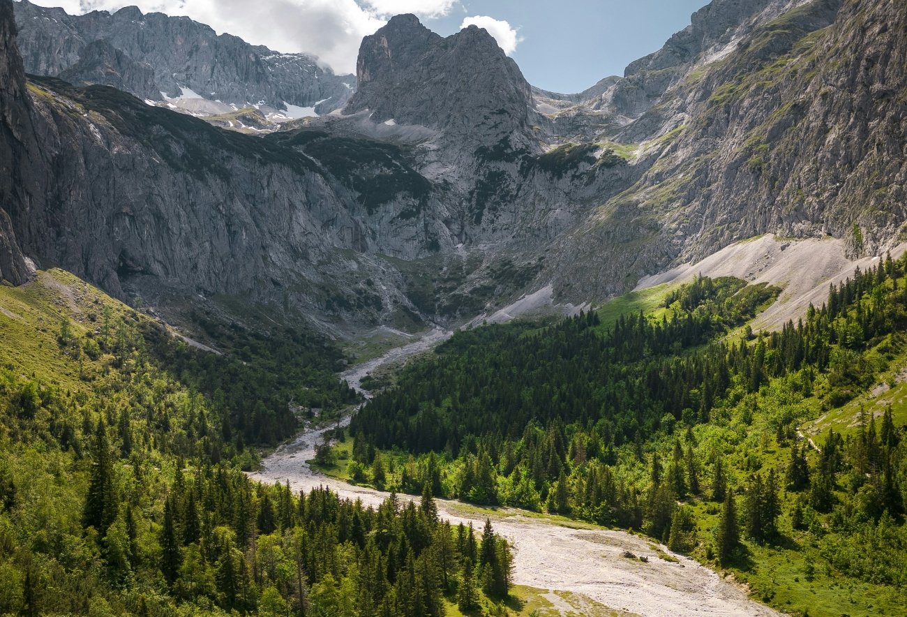
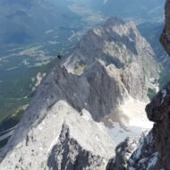
The name translates as Hell Valley, and the naming is not metaphorical. The Höllentalklamm — the Hell Valley Gorge — near Garmisch-Partenkirchen in the Wetterstein Mountains is a 1,026-metre passage of rock so narrow that in its tightest sections, at the bottom, the sky disappears entirely. The torrent that carved it runs directly below the walkway. At the narrowest points there is no railing. The water noise is total.
The gorge was built — that word is accurate — between 1902 and 1905 at a cost of 57,000 gold marks. Not discovered: built. 288 metres of the passage run through 12 rock tunnels blasted by dynamite. 569 metres are a half-profile path cut horizontally into the cliff face — a ledge, in effect, dynamited from the limestone and widened enough for one person to walk with a pack. 120 metres cross above the torrent on footbridges. The remaining sections cross scree. The whole thing is electrically lit in the tunnels. Approximately 60,000 people pass through it each year, which sounds like many until you account for the 1.5 million who queue for Stonehenge.
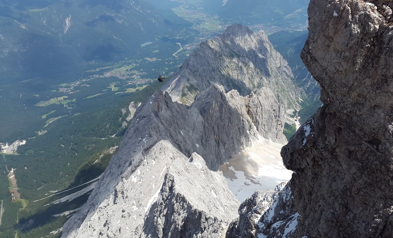
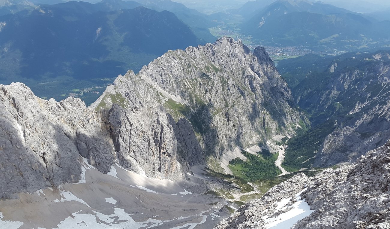
The Höllental was not built for tourism. It was built as an approach route to the Zugspitze — Germany’s highest peak at 2,962 metres — and the engineering reflects mountaineering logic rather than visitor management logic. The gorge is genuinely exposed in its middle sections, narrow enough that two people with packs must turn sideways to pass, and the only dry section of an approach route that involves a retreating glacier and a via ferrata at the summit.
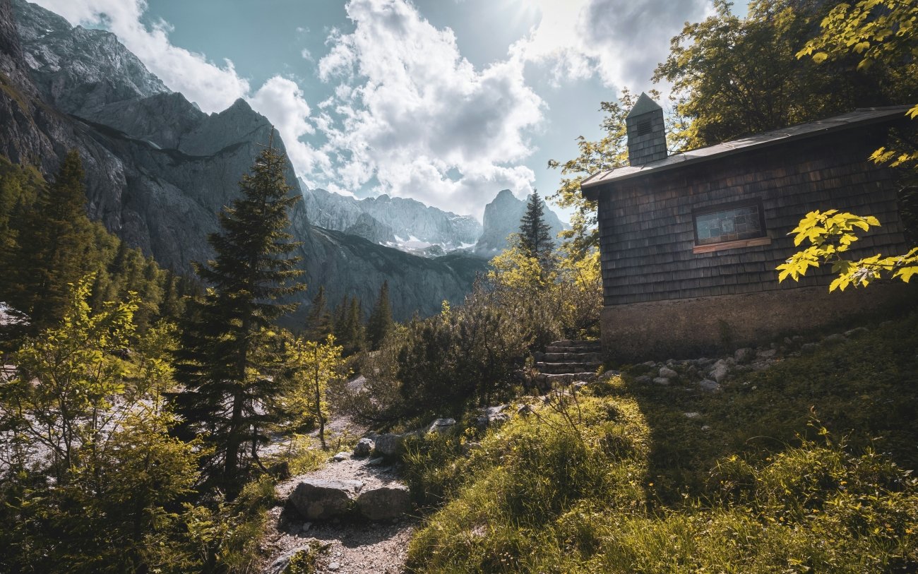
From the gorge entrance at Hammersbach (758 metres), the full ascent to the Zugspitze summit covers 2,204 metres of altitude gain. The route passes through the gorge, up the Höllental valley to the Höllentalanger Hut at 1,387 metres (a German Alpine Club hut with dormitory beds and dinner), then across the Höllentalferner glacier — crampons are required even in July and August, and the glacier recedes visibly each season — and up the Höllental Klettersteig, a via ferrata, to the summit. Duration from the car park: 7 to 8 hours. This is the only route that reaches the Zugspitze summit entirely on foot, without using the rack railway or the summit cable car for any section of the approach. There are people at the top who arrived by train and cable car, and there are people who spent 8 hours in the gorge and on the glacier to reach the same point. The mountain does not distinguish them.
The gorge itself is accessible without summit ambitions — it takes approximately one hour one way and requires no technical equipment beyond waterproof footwear and the awareness that the water level in the stream below rises quickly in afternoon storms. The stone villages of the approach have their own character: Hammersbach is a hamlet of a few dozen buildings in a meadow below a limestone wall, and the transition from the meadow to the gorge entrance takes perhaps 15 minutes of walking. The scale change is absolute.
Access. From Garmisch-Partenkirchen: Zugspitzbahn (cog railway) to Hammersbach stop, under 10 minutes; or Eibseebus. Garmisch is 90 minutes from Munich Hauptbahnhof by train, hourly. Entry to the gorge: a small fee (a few euros). Open June to October, weather permitting.
Best season: June to October for the gorge. July–August only for the full summit route (glacier access requires crampons, and the route is closed after first significant autumn snowfall).
→ Full article: Höllental (Wetterstein)
05. Romsdalen, Norway
The Valley Overshadowed by the Fjords
GPS (valley, Åndalsnes): 62.5608°N · 7.6869°E
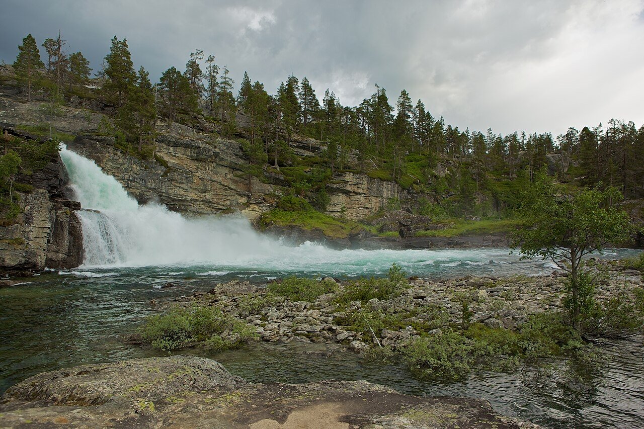
Norway’s tourism infrastructure is built around fjords. The fjords are UNESCO-listed, embedded in cruise itineraries, equipped with designated viewpoints, accessible by scheduled ferry, and reproducible as a postcard at any weather and any season. The fjord delivers the fundamental product — reflective water, vertical cliff, sky — without requiring the visitor to walk toward it. The viewpoint provides it. The cruise ship provides it. The car park off the E39 provides it.
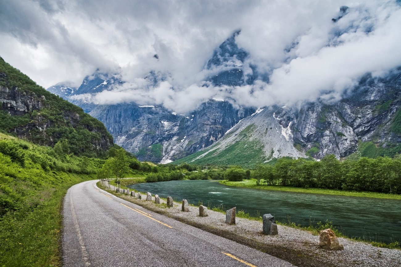
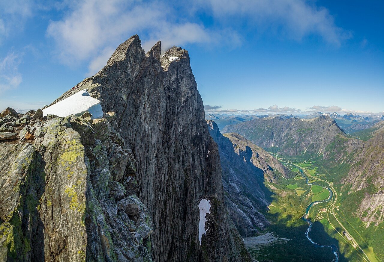
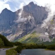
Romsdalen is an inland mountain valley without a fjord. It is accessed by train through a side-branch line that most international visitors have never heard of. It is dominated by a rock face that is arguably the most extraordinary single piece of vertical landscape in northern Europe. It does not have a platform.
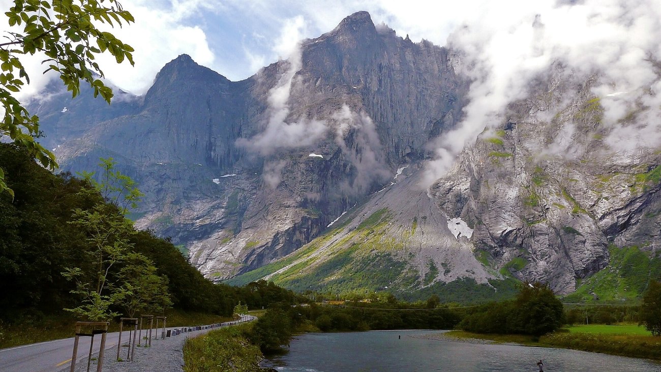
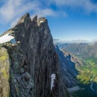
The Troll Wall — Trollveggen — is the tallest vertical rock face in Europe: more than 1,100 metres of gneiss and granite rising from the valley floor, with the summit of Store Trolltind at 1,788 metres above. The wall does not simply rise vertically. At multiple points it exceeds vertical — it overhangs. Objects dropped from the upper sections, including human beings, are thrown away from the cliff face as they fall. The geometry of the wall means that the base is further from the cliff than the top.
The first ascent of the face was completed in 1965 by a Norwegian team — Ole Daniel Enersen, Leif Norman Patterson, Odd Eliassen, Jon Teigland — one day ahead of a competing British party that was on the wall simultaneously, each attempting the first ascent by a different route. Both parties knew the other was there. The Rimmon Route established by the British team was severely damaged by rockfall in 1998 and is no longer considered complete. The hardest route currently established — the Krasnoyarsk Route, completed by a Russian team in 2002 — is graded f6c+/A4+. Polish climbers established a new route, Katharsis, in 2015.
Carl Boenish, the American filmmaker widely credited with inventing BASE jumping as a documented sport, set a world record jump from the Troll Wall in July 1984. Four days later he returned and died in the attempt. He was 43. BASE jumping from the wall has been illegal since 1986. Jumpers continue to arrive every summer and routinely flee on foot through the forest before police can reach them. Eight confirmed fatalities. No year without jumps.
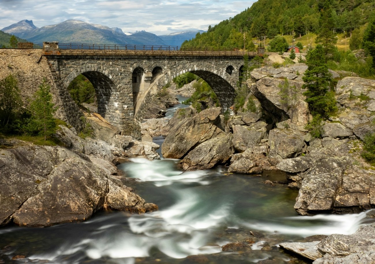
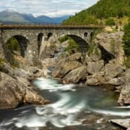
The valley below the wall is accessed by the Rauma Line — 114 kilometres of railway from Dombås on the plateau down to Åndalsnes at sea level, descending 655 metres, crossing 103 bridges and five tunnels, passing through two horseshoe curves, and running alongside the Rauma River for much of its lower section. The line opened in November 1924 after 12 years of construction. The engineering showpiece is the Kylling Bridge — an arch bridge with 59 metres of clearance between the track and the river below. Four trains run daily. The journey from Dombås takes approximately 1.5 hours and constitutes one of the most dramatically scenic railway approaches in Europe.
Romsdalshornet, at 1,550 metres, rises steeply above the valley floor on the opposite side from the Troll Wall — a secondary peak in terms of altitude, but in terms of visual presence, the peak that completes the valley’s character: two walls, one of which holds a record, one of which holds its own against it.
The fjords will be there when you have finished with them. The Rauma Line leaves Dombås four times a day.
Access. Train from Dombås (junction with the Dovre Line from Oslo) to Åndalsnes: 4 daily services, ~1.5 hours. Åndalsnes to Trollveggen: approximately 15 km south on the E136, accessible by local bus or bicycle. Accommodation concentrated in Åndalsnes town.
Best season: June to September. October for autumn colour and dramatically reduced visitor numbers. The Troll Wall can be viewed from the valley floor in any season without leaving the road.
What makes a lost valley
These five valleys share a common mechanism: they are difficult to reach, inconvenient to explain, impossible to see from a car park, and contain the kind of specific, dateable, verifiable fact — 141,000 people deported in 95 days; a river that can trap you underground after rain; a man who died four days after his greatest achievement at the face that held it — that no viewpoint platform provides.
The standard itinerary processes landscapes. It does not process what happened in them. That is what the lost valleys have, alongside everything else: a specific, irrefutable account of what a place has been, and the unusual fact of being still largely as it was left.
The coordinates above are primary access points. Each valley has secondary positions not listed here. The Padiș cave system requires a local guide for anything beyond the first sector. The Bieszczady strict reserve requires advance written permits. The Valbona–Theth trail is a committed one-way crossing with no road alternative. The Höllental glacier requires crampons. The Troll Wall is not a viewpoint — it is a wall.
→ Overland & Campervan in the Balkans — The Beyond the Map Road Guide
The guide that goes past the highway.
Valbona, the Albanian Alps, Bosnia, Montenegro, North Macedonia, Kosovo, and the Serbian interior. 77 pages · GPS atlas · border crossings · road notes · what the standard itinerary misses. The complete Balkans field guide for slow, independent and campervan travel.
→ Soča Valley Beyond the Map — The Premium Field Guide
The valley the Balkans route connects to.
The Soča in depth — primary positions and the secondary ones the day-trip buses never reach. GPS for every site, access logistics, photography windows, and the honest editorial case for one of Europe’s last wild river valleys.
→ Autumn Photography in Europe — The Beyond the Map Premium Guide
The light that makes the difference.
The Bieszczady poloniny in October. Valbona at peak colour. The Troll Wall in low northern light. This guide covers the photography windows, positions, and seasonal logistics for slow travel in autumn Europe — when the coaches have gone and the light is horizontal.
→ Hidden Europe — The Beyond the Map Map
Where the five valleys sit.
All five valleys plotted alongside 200+ other off-map European positions — the full cartographic companion to the Beyond the Map series.