There is a ranking problem in European prehistory. Stonehenge has the brand. The Acropolis has the postcards. Newgrange has the winter solstice livestream. These are not bad places. They are simply the places where the marketing caught up with the archaeology.
- 1. Kokino, North Macedonia — The Observatory That May Not Be One
- 2. Mnajdra, Malta — The Temple Whose Builders Disappeared
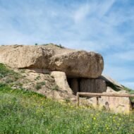
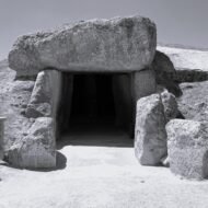
- 3. Antequera Dolmens, Spain — What Menga Is Facing
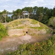
- 4. Gavrinis, France — The Island That Used to Be a Headland
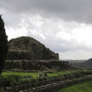
- 5. Nuraghe Su Nuraxi, Sardinia — The Fortress That Had a Meeting House
- 6. The Thracian Tomb of Kazanlak, Bulgaria — The Capital That Was Flooded
- What These Six Have in Common
These six sites have the archaeology. One holds frescoes that make the case for Thracian civilisation being something categorically different from what the history books say — and the original tomb has been closed since 2013 to prevent those frescoes from deteriorating further, meaning the window to see them properly is already closed. One was built on a headland that is now an island, because sea levels have risen since the Neolithic, and its capstone turns out to be a fragment of a fourteen-metre standing stone that was broken into pieces and distributed across three different tombs across four kilometres of coastline. One was the capital city of an ancient kingdom; the capital is now underwater, submerged in 1954 by a reservoir the Communists built rather than move the ruins.
The sites are still there. The platforms are empty. The standard travel article does not tell you what to look for.
1. Kokino, North Macedonia — The Observatory That May Not Be One
GPS: 42.263°N, 21.954°E — Elevation: 1,010–1,030 m
The figure that has circulated in North Macedonian tourism materials for twenty years is this: Kokino is the fourth oldest astronomical observatory in the world, according to NASA. This claim appears on official government websites, in guidebooks, and in every English-language article about the site. It is worth examining carefully before you drive two hours from Skopje.
The NASA list was a 2005 conference poster by astronomer Duane Hamacher, listing fifteen ancient observatory sites for a presentation. It was not a peer-reviewed paper, not a formal ranking, not an institutional NASA assessment. North Macedonian state media transformed it into “fourth in the world,” and the framing has been repeated without correction since. The site’s champions are Jovica Stankovski, who discovered it, and Gjore Cenev, director of the Skopje Planetarium, who developed the astronomical interpretation. Both are deeply invested in what the site represents.
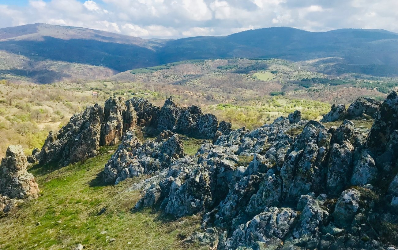
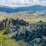
The most serious challenge came from archaeoastronomer Juan Antonio Belmonte, one of Europe’s foremost experts in ancient astronomies, who described Kokino as “a particularly problematic case” and stated that its claimed astronomical use “has never been appropriately proven or tested.” The UNESCO committee agreed sufficiently to reject the formal inscription nomination in 2011. The proposed astronomical markers are notches and gaps in natural volcanic tuff, not constructed megalithic alignments in the manner of Stonehenge — which is central to the dispute over whether the alignments are intentional or statistical coincidence.
What is not in dispute: this is a genuine Bronze Age site, occupied from approximately 1800 BC through the 7th century BC — over a millennium of use. The four stone seats cut directly into the rock on the lower platform are real. Ritual offerings were found in rock crevices: vessels placed there deliberately. The hilltop was used for ritual purposes across a very long span of human activity, which is interesting without requiring it to be a precision astronomical instrument. The wider site covers 30 hectares and produced ceramics, bronze tools, and evidence of metalworking consistent with a complex settlement — far larger than the five-thousand-square-metre “observatory” area that receives all the attention.
Go with adjusted expectations. The hilltop itself — volcanic tuff at over 1,000 metres, a landscape of improbable rock formations, overlooking the plain toward Kumanovo — is worth the drive. The archaeology is real and strange. The fourth-oldest-observatory framing is a promotional claim in need of the same scrutiny you’d apply to any other.
Access: From Skopje, approximately 1.5 hours northeast via Kumanovo toward the village of Staro Nagoričano. The final approach road is poor; four-wheel drive is advisable in wet conditions. A 10-minute walk from the parking area to the site. No public transport; car or organised tour required. Entry managed by the Museum of Kumanovo; verify current hours and fees at kokino.mk before visiting.
→ The Balkans by road — North Macedonia, Serbia, Bulgaria in one route: Overland & Campervan in the Balkans — The Beyond the Map Road Guide
2. Mnajdra, Malta — The Temple Whose Builders Disappeared
GPS: 35.827°N, 14.436°E — UNESCO inscribed 1980
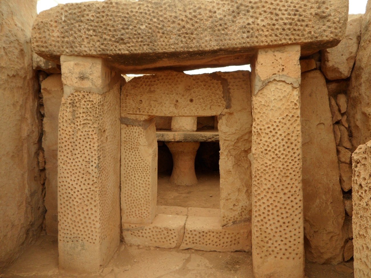
The figure that appears in almost every article about Mnajdra is the age: constructed approximately 3400 BC, making it older than Stonehenge and older than the Pyramids. The other figure that appears is the solar alignment: at the equinoxes, sunlight enters the main doorway and illuminates the altar stone; at the solstices, it strikes specific points on the walls. The “5,000-year-old solar calendar” frame is the dominant story.
Here is the story that does not appear.
On 13 April 2001, at least three individuals entered the site with crowbars and spent several hours toppling and smashing approximately sixty megalithic stones, also scratching graffiti. UNESCO described it as the worst act of vandalism ever committed on the island of Malta. The stones were subsequently restored using conservation techniques developed specifically for this project — but a significant portion of what visitors see today was reassembled after this attack. No account of the attack, no note about the restoration, appears in standard travel coverage of the site.
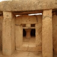
The construction history is also underexplained. Mnajdra is not one temple but three, and they were not built simultaneously. The Upper Temple dates to the Ġgantija phase, approximately 3600–3200 BC; the Middle Temple to the late Tarxien phase, 3150–2500 BC; the Lower Temple to the early Tarxien phase. Structurally independent — you cannot walk between them — they were built across a span of potentially several centuries, using the harder coralline limestone rather than the softer globigerina used at nearby Ħaġar Qim. The choice of stone is why Mnajdra has survived better.
No human remains were found in any of the Maltese temples. Despite being called temples, these were not tombs. The archaeological evidence — sacrificial flint knives, rope holes suggesting bound animals, charred animal bones — points toward animal sacrifice and ritual fire. The people who built Mnajdra practiced a religion that left no written language, no named deities, no verbal tradition carried forward. What they believed is entirely invisible except in the architecture and its debris.
The builders went extinct around 2500 BC in what is called the Maltese Temple Collapse. The entire island population disappeared — possibly through famine, disease, or environmental collapse — and was replaced by a new Bronze Age population. No cultural successors maintained Mnajdra. The religious tradition it represents died with its builders.
A protective tensile canopy structure was installed over Mnajdra in 2009 to protect the stones from weathering and salt spray. It is a conservation necessity. It substantially alters the atmosphere of the site. Almost no travel article mentions it.
Access: Open daily 09:00–16:30, closed 24, 25, 31 December, 1 January, and Good Friday. Bus routes 74 or 201 from Valletta; alight at the Ħaġar Qim stop. By car: follow signs toward Qrendi. One combined ticket covers Ħaġar Qim, Mnajdra, and the visitor centre; verify current price with Heritage Malta. The two sites are connected by a 600-metre path, downhill toward Mnajdra. Verify opening times before visiting — hours have varied by season.
→ Hidden Europe mapped alongside the Mediterranean and Adriatic: Hidden Europe — The Beyond the Map Map
3. Antequera Dolmens, Spain — What Menga Is Facing
GPS: 37.025°N, 4.543°W — UNESCO inscribed 2016
The standard description of Antequera treats its three monuments as a group: two dolmens (Menga and Viera) and one tholos (El Romeral), visited in sequence from a shared car park on the edge of the city. The UNESCO inscription in 2016 confirmed their collective significance. The standard article describes Menga as one of Europe’s largest dolmens and notes its orientation.
The orientation of Menga is the story that travel writing consistently misses.
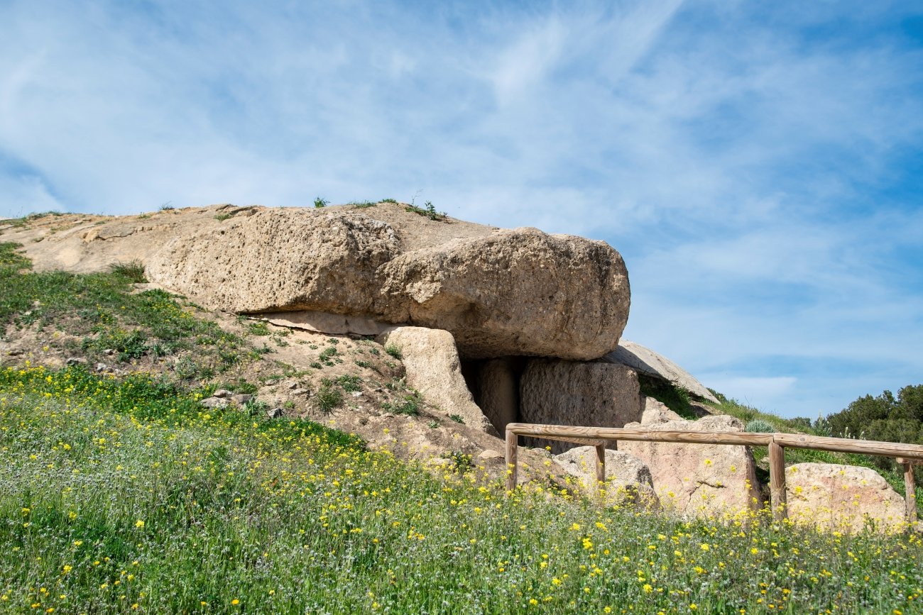
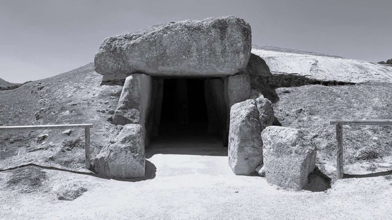
Almost every megalithic monument in Western Europe is oriented toward a celestial event — a solstice sunrise, a lunar standstill, an equinox alignment. Menga is not. It faces a rock formation on the horizon: the peak called Peña de los Enamorados, the Lovers’ Rock, which rises dramatically from the flat Antequera plain approximately five kilometres to the northeast. On that peak is the Matacabras rock shelter, containing schematic Neolithic cave paintings dated to at least the early 4th millennium BC — contemporaneous with Menga itself. A University of Seville study confirmed that the paintings were likely Neolithic and argued the peak functioned as a sacred reference point for the surrounding population. The builders of Menga aligned a tomb with a mountain that was already sacred. The mountain is still visible from the dolmen’s entrance today.
The engineering of Menga is also underexplained. It is so large — 27.5 metres long, 6 metres wide, 3.5 metres high, constructed from 32 megaliths, the largest weighing approximately 180 tonnes — that a standard corbelled ceiling would have collapsed under the weight of the earthen mound above. The builders inserted three intermediate pillars down the chamber’s centre, unique in European megalithic architecture at this scale. When archaeologists excavated Menga in the 19th century, they found the remains of several hundred individuals. This was a tomb used repeatedly across generations, over a very long period.
At the back of the chamber is a well shaft. Its date and purpose are unexplained. It does not appear in standard travel descriptions of the site.
El Romeral is the later monument — dated to the Chalcolithic, approximately 1800–1500 BC, meaning up to 2,000 years separates it from Menga. It is not a dolmen but a corbelled tholos tomb, similar in form to Mycenaean tholoi but predating them. El Romeral faces El Torcal, the dramatic karstic mountain range to the south. It also lies on an axis running from Menga through to Peña de los Enamorados — suggesting that monuments separated by twenty centuries participated in a continuing landscape theology that connected specific mountains to the realm of the dead.
Access: Menga and Viera are a 10-minute walk from the centre of Antequera. El Romeral requires a separate trip by car or taxi, approximately 4 km. Entry is free; advance booking recommended in peak season. From Málaga: approximately 45 minutes by car. Antequera also has a train station (Antequera Santa Ana) with connections from Málaga and Granada.
→ The Pyrenees and Iberia mapped alongside the Mediterranean south: Hidden Europe — The Beyond the Map Map
4. Gavrinis, France — The Island That Used to Be a Headland
GPS: 47.574°N, 2.898°W — French Historic Monument, Gulf of Morbihan
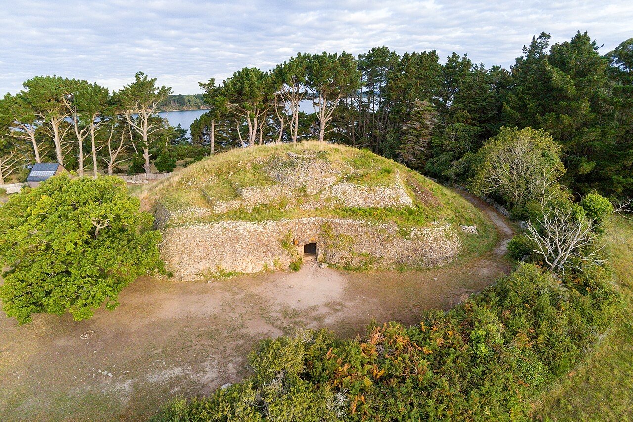
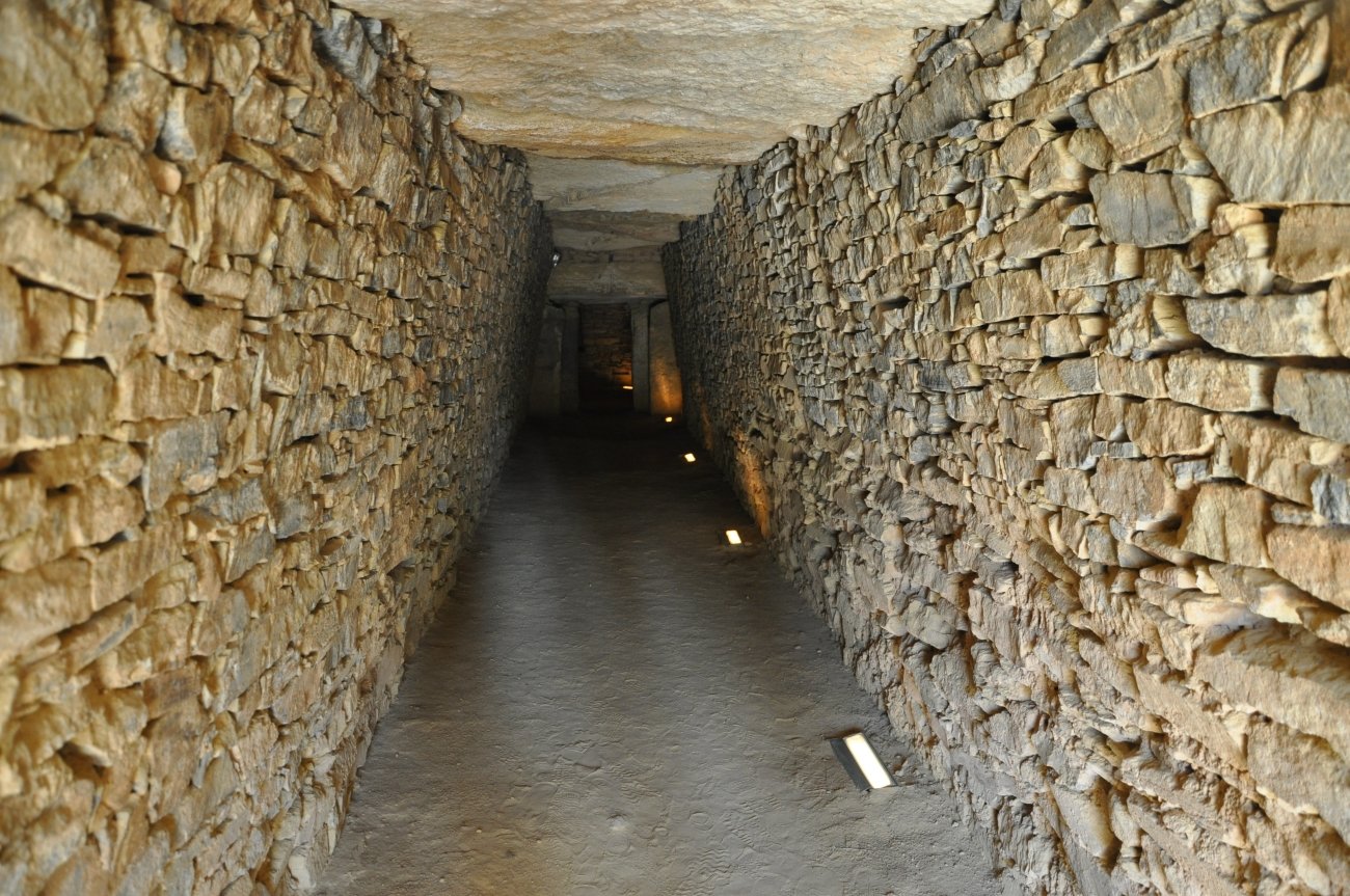
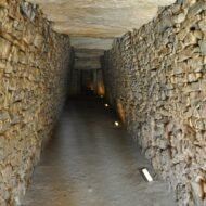
Gavrinis is regularly called the Sistine Chapel of Neolithic art. The comparison is not an exaggeration. A 14-metre passage lined with carved orthostats — 23 of the 29 slabs decorated with spirals, axes, concentric arcs, croziers, cattle horns, and flowing serpentine lines executed with a precision and density that has no parallel in European prehistoric art — leads to a corbelled burial chamber at the end of a cairn on a small island in the Gulf of Morbihan, Brittany. It was built around 4200–4000 BC and sealed approximately a millennium later. Access is by boat from Larmor-Baden, by guided tour only, April through October.
The capstone story is the one that travel writing almost never tells.
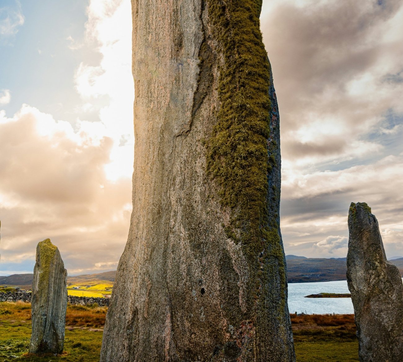
In the 1980s, archaeologist Charles-Tanguy Le Roux examined the top surface of the Gavrinis burial chamber’s capstone — the massive stone that forms the ceiling of the chamber, normally invisible from below. He found carvings that matched exactly with a capstone at Table des Marchands dolmen at Locmariaquer, approximately four kilometres away across the water. Further investigation revealed a third fragment, at the Er Vinglé tomb, that also matched. All three appear to be pieces of a single decorated menhir approximately 14 metres tall — comparable in scale to the Grand Menhir Brisé at Locmariaquer, the largest prehistoric standing stone ever erected, which had been raised around 4700 BC and toppled around 4000 BC. The original menhir was deliberately broken apart, and its pieces were incorporated as structural elements and capstones into at least three separate tombs built centuries later.
Why? The competing explanations say something about the limits of archaeology. Practical recycling of convenient large stones is one interpretation. Ancestor veneration — incorporating fragments of a sacred object into new sacred structures — is another. Deliberate destruction of an older religious tradition, with the stones repurposed into tombs that replaced whatever the standing stone represented, is a third. There is no way to know. What is certain is that the builders of Gavrinis went to considerable logistical effort to transport specific pieces of a broken monument across four kilometres of what was then a river estuary, and to use them in a construction that would render the carved faces permanently invisible.
When Gavrinis was built, it was not an island. Sea levels in the Gulf of Morbihan were lower around 4000 BC, and the site sat on a headland above a deep river channel. The island status is entirely a post-Neolithic development caused by rising sea levels — the same process that submerged the stone circle of Er Lannic nearby. At low tide, the upper portions of Er Lannic still emerge from the water; the boat to Gavrinis passes close enough to see them.
The passage is oriented toward the winter solstice sunrise.
Access: Boat from Larmor-Baden, approximately 15 km south of Vannes. Tours run April through October only; the site is closed to visitors November through March. Guided tours only — individual access not permitted. Tours last approximately 90 minutes, with around 20 minutes inside the cairn. Book in advance through the Gulf of Morbihan tourist office or Vedettes de Morbihan. No facilities on the island. By car to Larmor-Baden: follow signs from Vannes toward Baden and Larmor-Baden; parking at the embarkation point.
→ Western Europe beyond the tourist circuit, mapped: Hidden Europe — The Beyond the Map Map
5. Nuraghe Su Nuraxi, Sardinia — The Fortress That Had a Meeting House
GPS: 39.706°N, 8.991°E — UNESCO inscribed 1997
There are approximately 7,000 nuraghi across Sardinia. Nuraghe Su Nuraxi, near the village of Barumini in central-southern Sardinia, is the best-preserved and the only one inscribed on the UNESCO World Heritage List. The standard description: a Bronze Age tower complex, c. 1700–1300 BC, the purpose of which is unknown.
The “purpose unknown” framing is outdated.
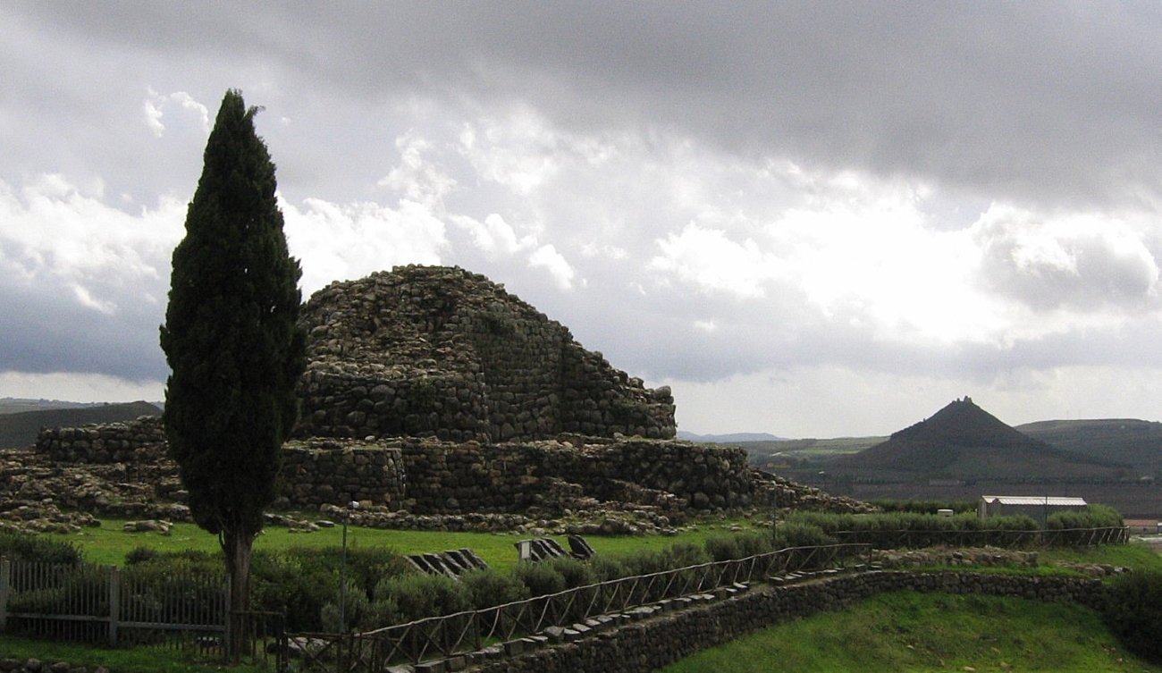
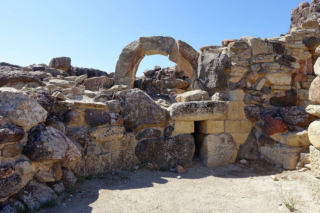
Giovanni Lilliu, who excavated Su Nuraxi between 1950 and 1957, interpreted it as a fortress — and that interpretation dominated for decades. Later research produced competing hypotheses: religious sanctuary, civic refuge for a surrounding agricultural population, community assembly centre. What complicates the fortress reading is a specific structure within the village at the tower’s base: a hut that appears to have functioned as a community assembly space, decorated with iconographic symbols associated with local deity figures. Fortresses do not typically have community meeting houses decorated with ritual imagery at their gates. The site is better understood as a civic and ceremonial centre whose function evolved over the roughly thirteen centuries it was in use.
The architectural biography of the complex is more layered than the “Bronze Age tower” framing suggests. The original central tower was built around 1700–1300 BC with three superposed internal chambers and stands 18.6 metres tall, constructed from basalt blocks without mortar. In the Late Bronze Age, four additional towers were added at the corners, connected by curtain walls enclosing an internal courtyard with a well. In the Iron Age, a seven-lobed outer curtain wall was added. This means the structure was substantially redesigned at least twice, across several centuries — evidence of sustained civic importance rather than simple habitation.
The Carthaginian chapter is almost entirely absent from travel coverage. After the complex was destroyed in the 6th century BC — possibly during conflicts accompanying Carthage’s expansion in Sardinia — Carthage rebuilt parts of it. Su Nuraxi is one of the very few prehistoric European sites where a major ancient Mediterranean power deliberately restored a structure that may have been its own conquest. The relationship between the destruction and the restoration is not fully established, but the fact of Carthaginian rebuilding is not in dispute.
In the village of Barumini itself, approximately one kilometre away, lies Casa Zapata: a 15th-century palace built directly over a buried nuraghe. The palace now has a glass floor through which visitors can look down into the prehistoric structure below — an extraordinary layering of time that almost no visitors outside Sardinia know exists and which is included in the combined ticket for the Su Nuraxi site.
Access: Open every day of the year. Guided tours depart every 30 minutes and last approximately one hour; the tour is mandatory and included in the admission price. Verify current prices with Fondazione Barumini Sistema Cultura (fondazionebarumini.it). The combined ticket covers Su Nuraxi, Casa Zapata, and the Giovanni Lilliu centre. By car from Cagliari: approximately 50 km north, 50–60 minutes on the SS131. No convenient public transport; car or organised tour required.
→ The Mediterranean and Adriatic laid out alongside the overlooked Balkans: Overland & Campervan in the Balkans — The Beyond the Map Road Guide
6. The Thracian Tomb of Kazanlak, Bulgaria — The Capital That Was Flooded
GPS: 42.626°N, 25.399°E — UNESCO inscribed 1979
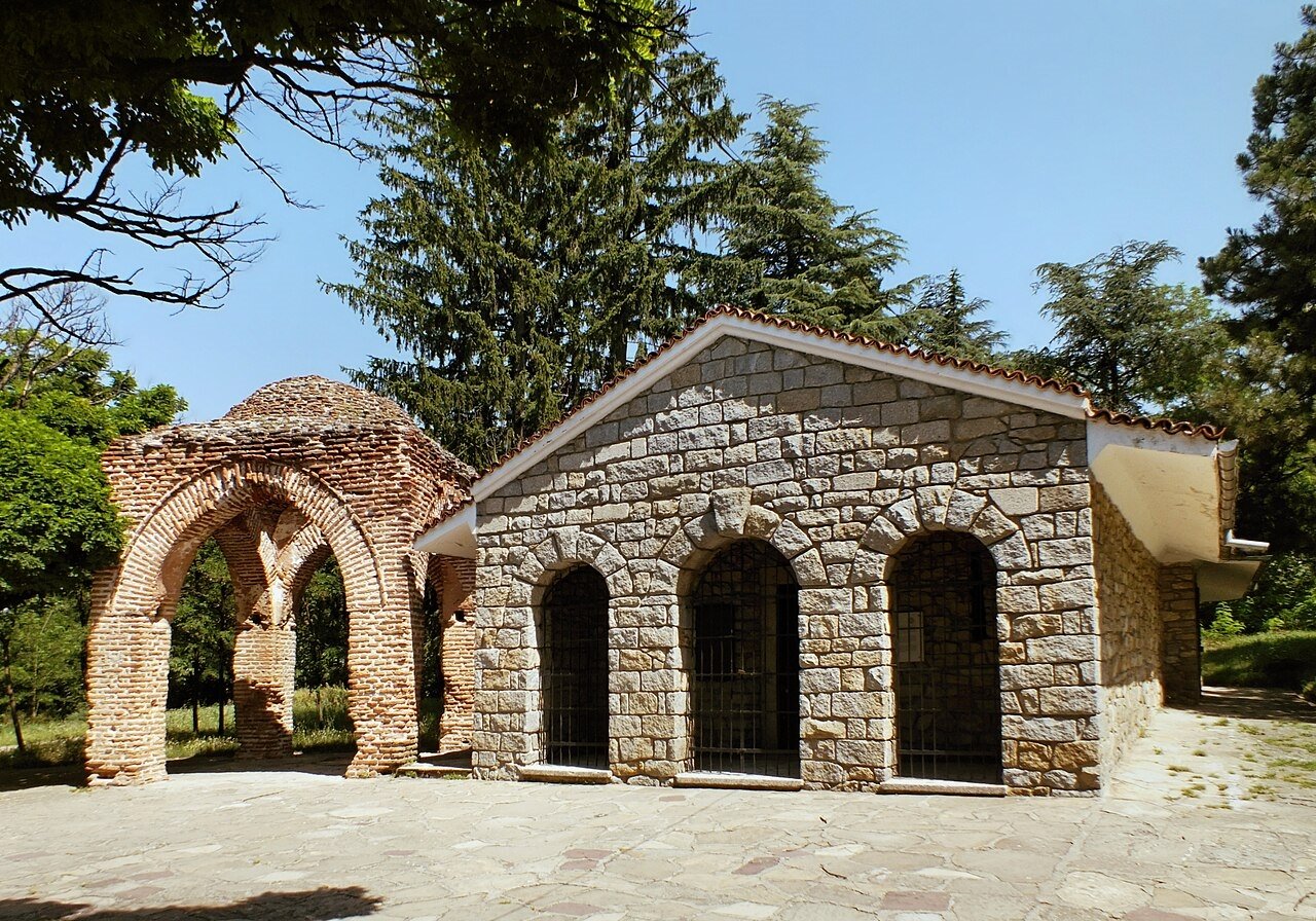
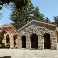
The Thracian Tomb of Kazanlak was found on 9 April 1944, accidentally, by Bulgarian soldiers digging an anti-aircraft shelter. They broke through the chamber wall. Inside: frescoes intact, burial goods undisturbed, the tomb unlooted — one of the rarest archaeological discoveries in the 20th century. The paintings show a Thracian nobleman and his wife seated in matching ornate chairs, their wrists grasped together, surrounded by servants, musicians, and a procession of horses. Around the dome: a chariot race, battle scenes, infantrymen in short chitons with flat shoes and coloured scarves, curved mahair swords, large shields.
The style is immediately recognisable as Hellenistic. The subjects are Thracian. The craftsmen were possibly Greek. The date is the late 4th century BC — contemporaneous with Alexander the Great’s campaigns, a period when Greek artistic conventions were being adopted across the entire eastern Mediterranean world, including by the Odrysian Thracian kingdom that controlled this valley. What the frescoes show is not imitation of Greek culture but cultural synthesis: Thracian ritual scenes executed through Greek pictorial language, for a Thracian elite that was simultaneously part of the wider Hellenistic world and maintaining its own religious and funerary traditions.
The original tomb has been closed to the public since 26 February 2013. Humidity from visitor breath was accelerating deterioration of the frescoes. A full-scale replica is open nearby; it is an unusually good one, but it is not the original. The window to see the actual painted chamber has been closed.
The tomb sits adjacent to the former site of Seuthopolis — the capital city of the Odrysian king Seuthes III (who reigned approximately 331–300 BC), contemporary with the tomb and excavated between 1948 and 1954. In 1954, the Bulgarian Communist government built the Koprinka reservoir and flooded the site rather than excavate further or relocate the ruins. An ancient capital is underwater. A circular dyke proposal to re-expose Seuthopolis for archaeology and tourism has been discussed for decades; it has not been funded.
The Valley of Thracian Rulers contains more than 1,500 burial mounds, of which approximately 300 have been archaeologically investigated. The name was coined not by ancient Thracians but by archaeologist Georgi Kitov, who led the Thracian Expedition for Mound Research from 1992 to 2006 and opened over 200 mounds. Kazanlak is also Bulgaria’s Rose Valley — the centre of attar of roses production since the 17th century, with the rose harvest in late May and early June drawing visitors who have no idea they are standing near the submerged capital of an ancient kingdom.
Access: The replica tomb is open daily 09:00–17:00. Entry: adults BGN 6 (approximately €3), children 7–16 BGN 2, under 7 free; guide in Bulgarian BGN 5, foreign language BGN 10. Free admission on the last Monday of each month. Kazanlak is approximately 160 km east of Sofia by road or rail. Direct buses and trains from Sofia; the train station is in the town centre. The replica is in Tyulbeto Park; signed from the centre of Kazanlak.
→ The Balkans mapped — Bulgaria, Serbia, North Macedonia in one route: Overland & Campervan in the Balkans — The Beyond the Map Road Guide
What These Six Have in Common
None of them is anonymous. Kokino appeared on a NASA conference poster and became the fourth-oldest observatory in the world overnight. Mnajdra has the solar alignment story and the 5,000-year-old claim. Antequera got its UNESCO inscription in 2016. Gavrinis has been called the Sistine Chapel of Neolithic art for fifty years. Su Nuraxi has the UNESCO plaque. Kazanlak is on the Bulgarian 50 stotinki coin.
The problem is not obscurity. The problem is that the standard story of each site is partial. A solar calendar without a mention of the forty-eight hours of vandalism. A Bronze Age tower without the Carthaginian rebuilding chapter. A prehistoric observatory without the scholarly dispute about whether it is one. A Neolithic capstone without the story of the fourteen-metre standing stone that was broken apart and distributed across three tombs.
The archaeology is already remarkable. The fuller account is more remarkable still.
Routes through the ancient landscape:
→ Overland & Campervan in the Balkans — The Beyond the Map Road Guide Kazanlak, Kokino, and the Thracian valley — the Balkans by road, from the Rose Valley to the Albanian Alps.
→ Hidden Europe — The Beyond the Map Map All six sites mapped alongside the full network of overlooked places.
→ Soča Valley Beyond the Map — The Premium Field Guide For routes that pass through Slovenia and the Julian Alps on the way west or south.
→ Autumn Photography in Europe — The Beyond the Map Premium Guide The Rose Valley in late May. The Retezat and Rhodope in October. Timing the light across the continent.
→ Tbilisi Beyond the Map — The Wanders City Guide For when the ancient route extends east — Georgia holds its own version of everything on this list.