The famous European thermal springs have been famous for a long time. The Romans built Bath. The Habsburgs built Karlovy Vary. The Ottomans built their own layer over half the thermal sites in the Balkans. The marketing industry built the rest. What survives is a category of thermal spring that the travel industry has either not found or not known how to package: springs where the geological story is extraordinary, the historical layer is deep, and the infrastructure is thin or nonexistent.
- 1. Sapareva Banya, Bulgaria — The Only Geyser in Continental Europe
- 2. Therma, Ikaria, Greece — Radioactive Sea-Cave Springs on the Longevity Island
- 3. Egerszalók, Hungary — The Travertine Hill That Was a Drilling Accident
- 4. Terme Luigiane, Calabria, Italy — Italy’s Most Sulfurous Spring, Beneath a Massacre Village
- 5. Caldas de Monchique, Portugal — Sacred Waters from a 72-Million-Year-Old Volcano
- What the Paid Guide Contains
One of the five springs on this list is the only active geyser in continental Europe. One has among the highest radon concentrations of any spring in Greece, emerges in sea caves at the tideline of an island whose residents are statistically among the longest-lived in the world, and has never been discussed in that context in any English-language article. One was created by a Cold War oil-drilling accident in 1961 and did not exist before. One has the highest sulfur concentration of any spring in Italy — documented in peer-reviewed chemistry — and sits beneath a village where a Reformation-era massacre was carried out in 1561, after which the survivors preserved a medieval French dialect for five hundred years. One has a pH of 9.5, produced by a 72-million-year-old volcanic intrusion, and the Roman soldiers who used it called it aquae sacrae — sacred waters — in an inscription that gave the town its name.
The water is hot. The history is deeper.
1. Sapareva Banya, Bulgaria — The Only Geyser in Continental Europe
GPS: 42.283°N, 23.267°E — Elevation: 750 m — Temperature: 103°C
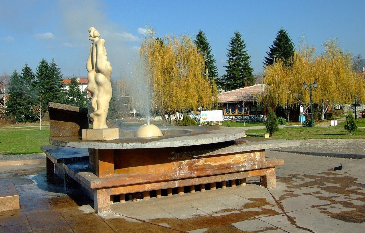
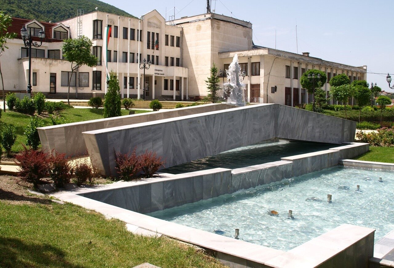
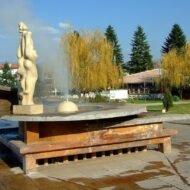
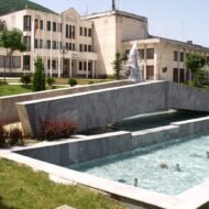
The geyser erupts to 18 metres in the centre of a small Bulgarian town at the foot of the Rila mountains. It does this periodically, from a vent in the middle of an unremarkable square. The snowfields of the highest range in the Balkans are visible on the peaks above. Almost no one outside Bulgaria knows the geyser exists.
This is the hottest geyser in continental Europe — 103°C, higher than any other spring in Bulgaria and several degrees hotter than the nearest Italian geysers. Its geological source is the Rila crystalline basement, one of the most heavily faulted metamorphic complexes in the Balkans. Rainwater descends through schists and granites, reaches depths where the geothermal gradient is anomalously high, picks up hydrogen sulfide, fluorine, and sodium, and returns under artesian pressure along a northwest-southeast fault system that cuts beneath the town. It was not “discovered” as a geyser until 1957, when Soviet-era hydrological surveys drilled to 73 metres and encountered steam and water at 102°C.
The town has been here far longer than the discovery. The Thracian tribe that settled this valley called the site Germaneya — a word linked linguistically to “hot water” — suggesting thermal use predating written records by millennia. The name appears in Byzantine sources in the 6th century. A charter of Basil II in the 11th century records the baths still functioning. The medieval name “Saparevo” appears in written records in 1570; the qualifier “Banya” (meaning baths) appears by 1576. Two thousand years of thermal use, one geological superlative, and the complete absence of the place from English-language travel writing.
The water itself is weakly mineralised — hydrogen sulfide at 15.5 mg/L, elevated fluorine, sodium bicarbonate — clear and colorless with the characteristic sulfide smell. A Specialised Rehabilitation Hospital operates in the town. Local hotels have mineral pools. The geyser is viewable from the square at no charge.
Access: 70 km south of Sofia via Dupnitsa; 56 km east of Kyustendil. No rail connection; car required. A tourist information centre operates in the geyser area Monday–Friday 08:00–17:00. The geyser is in the town centre and freely visible.
Peak season: Year-round. The geyser combined with the surrounding Rila mountain landscape — trailheads into Rila National Park are within driving distance — makes this a natural combination with a hiking day.
→ Bulgaria mapped alongside the broader Balkans route: Overland & Campervan in the Balkans — The Beyond the Map Road Guide
2. Therma, Ikaria, Greece — Radioactive Sea-Cave Springs on the Longevity Island
GPS: 37.600°N, 26.267°E — Temperature: 31–58°C — Radon: among the highest in Greece
Ikaria is covered in English travel media as a Blue Zone — one of five regions in the world where people consistently live past 90 in disproportionate numbers. The coverage invariably focuses on diet, afternoon naps, and social connection. The thermal springs are mentioned in passing. The connection between the two is never made, in any English-language article.
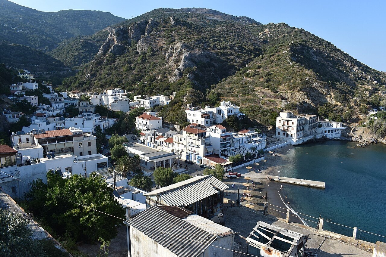
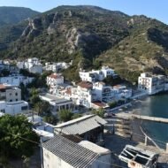
The springs at Therma, 3 km northeast of Agios Kirykos on the southern coast, have documented therapeutic use since the 4th century BC — over 2,400 years of continuous use. Byzantine emperors built baths here for royal use. The springs emerged at temperatures between 31°C and 58°C from the Artemis, Apollo, and Mustafa-Litsa vents, with radon concentrations that Greek university research places among the highest of any spring in Greece and among the most radioactive springs worldwide. The source is the geology: Ikaria is a metamorphic core complex exhumed from 20–30 km depth during Miocene extensional tectonics, and its granite is extraordinarily rich in uranium and thorium. The water circulates through this uranium-bearing rock, picks up radon gas, and emerges along the major detachment fault that defines the island’s geology.
Low-dose radon therapy is a documented and medically prescribed treatment in Central European spa medicine — particularly at Bad Gastein in Austria, where radon inhalation caves are covered by the Austrian health system for joint and respiratory conditions. Whether the Ikarian radon waters contribute to the island’s longevity statistics has never been studied, never been proposed in English-language journalism, and remains one of the more interesting open questions in European epidemiology.
Some springs emerge at sea level. In caves at the shoreline, hot mineral water flows from the rock and mixes with the Aegean at the tideline. At low tide, you can soak in 50°C radioactive spring water while waves wash over you. This is a genuinely unusual experience — strange in a way that the municipal bath centre (open May through November, small entry fee) does not convey. The sea-cave springs are free, have no facilities, and are accessed directly from the shoreline near the village.
Access: Ikaria is reachable by ferry from Piraeus (approximately 8 hours on the slow ferry, 4.5 hours on the fast ferry) and by flight from Athens (50 minutes). Agios Kirykos is the main port; Therma is 3 km northeast by road. No public transport between the two; taxi or car hire from Agios Kirykos. The municipal bath centre is signed from the road. The sea-cave springs require knowing where to look — ask locally in Therma.
→ The Aegean and Adriatic mapped alongside the Balkans: Hidden Europe — The Beyond the Map Map
3. Egerszalók, Hungary — The Travertine Hill That Was a Drilling Accident
GPS: 47.867°N, 20.333°E — Elevation: 175 m — Temperature at source: 65–68°C — Birth date: 1961
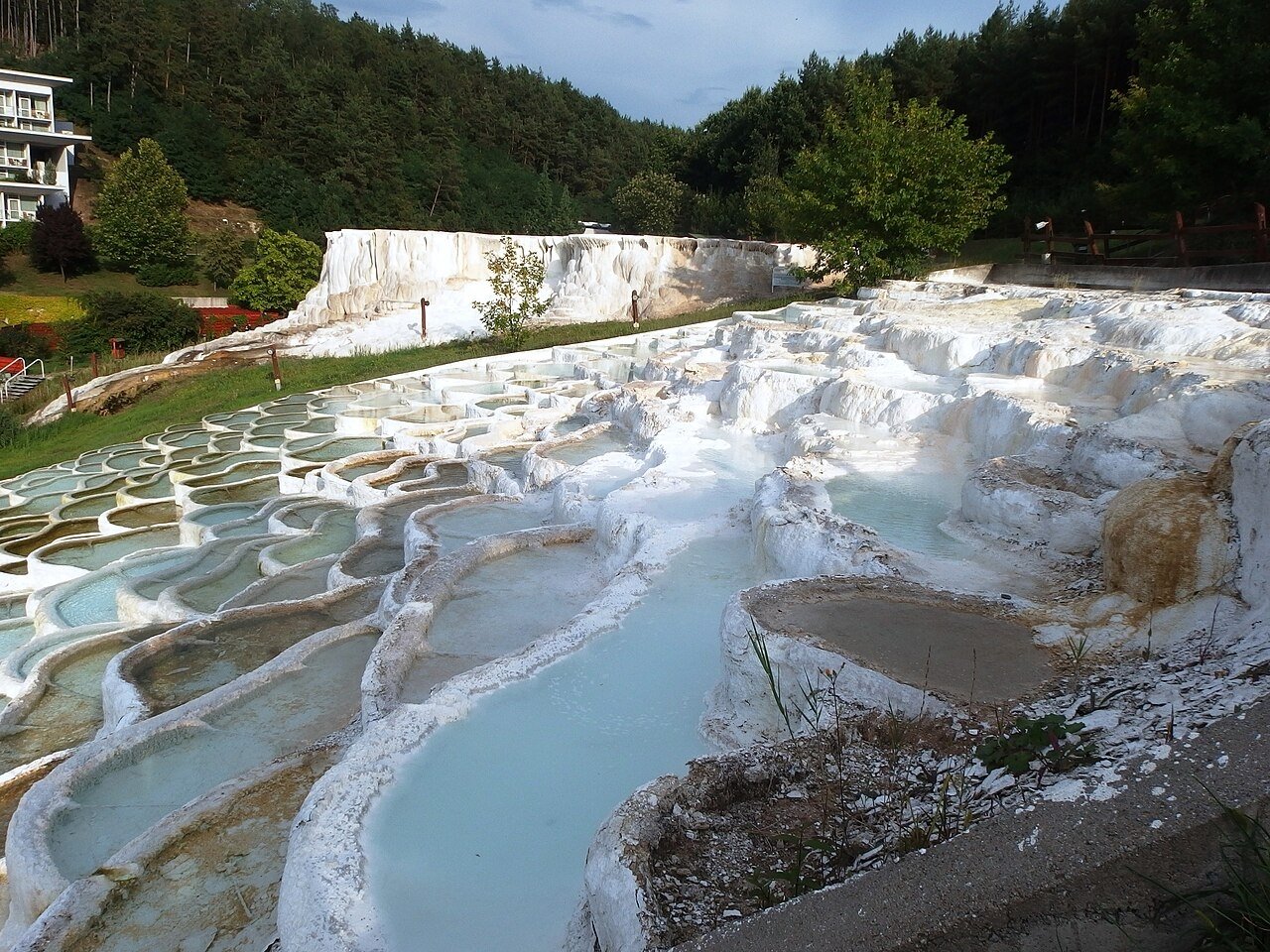
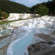
The Sódomb — the Salt Hill — at Egerszalók is described in Hungarian tourism materials as “Hungary’s Pamukkale.” The comparison is accurate as far as it goes: white travertine cascades down a hillside in a series of frozen-looking tiers, calcium carbonate precipitated from mineral water as it hits the air and loses carbon dioxide. From a distance, the effect is striking in the flat Hungarian plain below the Mátra foothills.
The detail that the comparison omits: the Salt Hill did not exist before 1961.
In 1961, Soviet-era hydrocarbon exploration drilled to 410 metres depth at this location, looking for oil. They found instead an artesian thermal spring at 65–68°C, calcium-magnesium-bicarbonate water under pressure, that could not be capped. The water was allowed to flow down the hillside. Locals called the white mineral precipitate “salt” — not understanding it was travertine — and the name stuck. The hill has been growing ever since. It is one of the only major geological formations in Europe with an exact birth date, and that birth date is an industrial accident.
The geological mechanism is the same as Pamukkale — dissolved calcium bicarbonate precipitating on contact with air — but the source here is the Pannonian Basin, one of Europe’s thinnest crustal segments, where the lithosphere is only 60 km thick against the 120 km average for stable continental Europe. Hungary has the second-highest geothermal heat flux in Europe after Iceland, which is why the country has more thermal springs per square kilometre than almost anywhere else on the continent. Egerszalók is a small and accidental demonstration of a continental anomaly.
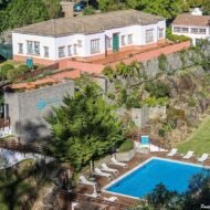
The Saliris Resort operates a spa around the hill. Unlike Pamukkale, where access to the travertine pools is now tightly restricted to protect the formation, visitors at Egerszalók can walk directly on the white cascades. The hill is still actively growing; the annual travertine accumulation rate can be measured.
Access: 8 km west of Eger, 133 km from Budapest by road. Eger has rail connections from Budapest Keleti; from Eger, taxi or car to Egerszalók. The Salt Hill is visible from outside the resort; the spa pools require a day entry ticket (check salirisresort.hu for current pricing). Open year-round.
→ Central Europe mapped alongside the hidden Balkans route: Hidden Europe — The Beyond the Map Map
4. Terme Luigiane, Calabria, Italy — Italy’s Most Sulfurous Spring, Beneath a Massacre Village
GPS: 39.550°N, 15.960°E — Temperature: 37–38°C — Hydrogen sulfide: 53–73 mg/L
The chemistry of Terme Luigiane is documented in an Applied Geochemistry paper from 2014, which is not the kind of source that appears in travel articles. Total dissolved sulfur: 173 mg/L — the highest of any thermal spring in Italy. Sodium: 1,463–1,560 mg/L. Chloride: 1,613–1,657 mg/L. Fluoride: 3.15–3.86 mg/L. The water has a specific isotopic sulfur signature (δ³⁴S: +20.8 to +21.0 ‰) that identifies its origin precisely: Upper Triassic evaporites — ancient salt deposits laid down 240 million years ago — dissolved at 1.4 km depth, carried upward along a north-northwest trending fault, and emerging at the foot of the Calabrian coastal chain 50 km from Cosenza.
The springs were known since Roman times. The first dated written record is a letter of 1446 from San Francesco di Paola, the patron saint of Calabria, mentioning the waters. Duke Luigi Carlo di Bourbon gave the site his patronage in the 19th century and the name followed: Terme Luigiane, Luigi’s Baths. The Italian National Health Service covers treatments here for Italian residents with a general practitioner’s prescription — it holds the Ministry of Health’s highest therapeutic classification.
One kilometre up the hill above the spa is Guardia Piemontese. In June 1561, a Catholic crusade ordered by Cardinal Michele Ghislieri — later canonised as Pope Pius V — massacred approximately 2,000 Waldensian Protestant refugees who had been living in this corner of Calabria since the 12th century. The Waldensians had originally come from the Dauphiné, in what is now southeastern France, and had brought their language with them: a form of Occitan that the village still speaks today, five centuries after the survivors were forcibly converted. The main gate of Guardia Piemontese is still called the Porta del Sangue — the Gate of Blood. The village’s front doors were fitted with spioncini, small spy holes through which inquisitors could check that families were praying in the Catholic manner. There is a Waldensian museum.
No English travel article about Terme Luigiane has mentioned any of this. You are bathing in Italy’s most sulfurous water, in a limestone valley carved by fault tectonics, under a village that preserved a medieval French dialect through five centuries of post-massacre secrecy.
After the 1905 Calabria earthquake — magnitude approximately 7.9, one of the deadliest in Italian history — the spring water turned cold without warning, flow increased, and muddy water emerged. This seismic disruption of the hydrothermal system was documented by Italian geologist Raffaele Rizzo in 1907 and remains one of the few documented cases of earthquake-induced spring chemistry change in southern Italy.
Access: In Valle di Bagni, Acquappesa municipality, approximately 50 km north of Cosenza. Nearest station: Guardia Piemontese Terme, 3 km; Paola junction 14 km (connections from Naples and Reggio Calabria). Day access to the spa pools; see termeluigiane.it for current seasonal hours and pricing. The resort opens from late May. Guardia Piemontese village and the Waldensian museum are a short drive uphill and are worth the context.
→ Southern Italy and the Adriatic coast in the broader Balkans framework: Overland & Campervan in the Balkans — The Beyond the Map Road Guide
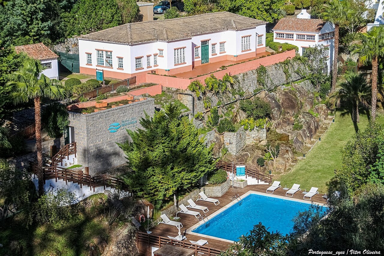
5. Caldas de Monchique, Portugal — Sacred Waters from a 72-Million-Year-Old Volcano
GPS: 37.310°N, -8.540°W — Temperature: 31–33°C — pH: 9.5
The springs at Caldas de Monchique are warm rather than scalding — 31 to 33°C at emergence, comfortable for drinking as well as bathing. The water’s chemical character, however, is extraordinary: a pH of 9.5, the highest alkalinity of any natural spring water in Portugal and among the highest in the world. This is not a marketing figure. It is a consequence of geology so specific that the IUGS has designated the Monchique Alkaline Complex as a global geoheritage site.
The Monchique Alkaline Complex is a 72-million-year-old igneous intrusion — a nepheline syenite pluton that pushed up through Carboniferous bedrock during the opening of the central North Atlantic Ocean in the Late Cretaceous period. It is one of three aligned Cretaceous alkaline massifs in Portugal, all formed by the same Atlantic-opening event that separated Europe from North America. Groundwater descends through the Serra de Monchique, enters the nepheline syenite, and undergoes a reaction: nepheline and sodalite dissolve incongruently in water, releasing sodium and silica while consuming hydrogen ions, driving pH toward 9.5. The rock contains sodalite that fluoresces orange under ultraviolet light. The spring water is the chemical diary of the Atlantic Ocean’s birth.
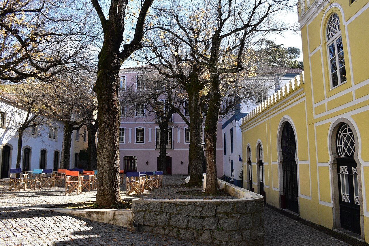
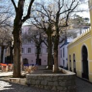
Roman soldiers stationed in southern Iberia found these springs and called them aquae sacrae — sacred waters. The Latin inscription has been preserved at the resort grounds. The phrase Mons Cicus in that inscription is the etymological origin of Monchique: the town’s name preserves a Roman description of the mountain, in a chain of linguistic transmission running from a Latin military inscription to a Portuguese place name. King João II of Portugal visited in 1495. The 19th-century spa village below the main resort — Caldas de Monchique — is largely intact, its Bourbon-era architecture arranged around a cobbled square with a fountain: a spa village that functions as a time capsule of 19th-century Portuguese resort culture and receives almost no visitors.
A secondary wild spring, the Covão da Ribeira, exists within the Serra de Monchique further from the resort: no facilities, no charge, the same geological system, accessed by foot through cork oak woodland.
Access: Serra de Monchique Natural Park, 20 km north of Portimão in the Algarve. By car from Portimão: approximately 25 minutes on the N266. The Monchique Termal Resort operates paid day access to the pools (approximately €15–20 per adult; book at monchiquetermalresort.com; advance booking recommended June–September). The village of Caldas de Monchique is freely walkable and worth an hour before or after the springs. The Covão da Ribeira wild spring: ask locally in the village for the current footpath access.
→ The Iberian peninsula mapped alongside southern Europe: Hidden Europe — The Beyond the Map Map
What the Paid Guide Contains
This article is an introduction. Five springs, five stories that standard travel coverage does not tell.
The full thermal springs guide — part of the Beyond the Map Premium series — covers the complete picture: access logistics for every site, the wild springs within each geological system (some free, some requiring local knowledge), the medical tradition behind each water type, the best season for each location, and twelve additional springs across Europe with the same depth of geological and historical context. It also covers the practical questions: what “balneological treatment” actually involves, which springs require advance booking for therapeutic programs, and which can be reached without a car.
The water is there. The full map is in the guide.
Planning a route through thermal country:
→ Overland & Campervan in the Balkans — The Beyond the Map Road Guide Sapareva Banya and the wider Bulgarian mineral spring network — the Balkans by road, with the thermal stops mapped in.
→ Hidden Europe — The Beyond the Map Map All five springs mapped alongside the full network of overlooked places across the continent.
→ Autumn Photography in Europe — The Beyond the Map Premium Guide The Monchique cork oak forest in October. The Rila foothills in September. Timing the thermal route with the season.
→ Soča Valley Beyond the Map — The Premium Field Guide For when the thermal route passes through Slovenia — the Julian Alps as the northern gateway.
→ Tbilisi Beyond the Map — The Wanders City Guide For when the route extends east — Georgia has its own thermal spring tradition in the Caucasus, and Tbilisi itself sits above sulfurous hot springs that once gave the city its name.