

Forgotten Villages of Europe: Five Places That Stayed Hidden
There is a particular kind of place that doesn’t appear in the itineraries. Not because it’s inaccessible — some of these take thirty minutes by car from a main road — but because nothing happened there to make it convenient for the story. No luxury hotel opened. No food magazine ran a feature. No influencer found the light.
- 1. Bochorna, Georgia — The Village That Rests on One Man
- 2. Oletta, Corsica — The Battle the Village Forgot to Mention
- 3. Vlkolínec, Slovakia — The Thirteen People Who Kept It Alive
- 4. Tobera, Spain — The Paper Mill Nobody Remembers
- 5. Sirogojno, Serbia — The Knitting Cooperative the Cold War Built
- What These Villages Have in Common
What these five villages have instead: a triptych painted before Columbus reached the Americas, sitting in an unlocked church that sees perhaps forty visitors a year. A hamlet of twenty-three people that supplied paper to printing presses across a region for centuries. A settlement so high that one man’s presence is what keeps it on the map. A log-cabin museum that hides a cold-war knitting export operation nobody writes about.
This is not a list of the most dramatic abandoned places in Europe. It is a list of the places that stayed.
1. Bochorna, Georgia — The Village That Rests on One Man
GPS: 42.4025°N, 45.5864°E — Elevation: 2,345 m
The designation reads cleanly in every travel headline: highest permanently inhabited settlement in Europe. What the headlines do not mention is that the permanent population is one person.
His name is not widely reported. He is a retired doctor, now in his late seventies, who moved to Bochorna specifically to provide basic medical services to the Tusheti highland communities. Before he arrived, the 2002 Georgian census recorded zero year-round residents. The Georgian government formalised the record in July 2016. The village’s permanent habitation rests entirely on his continued presence.
This is not a diminishment. It is the more interesting story.
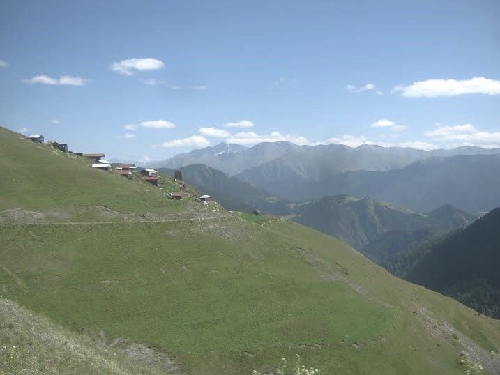
Bochorna sits ten kilometres above Omalo — itself already remote, already at 1,800 metres, already the kind of place that closes under snow from October to May. The access is a 4WD track through the Gometsari Gorge, not a road in the usual sense. Omalo has guesthouses, the reconstructed Keselo fortress on the ridge above, the beginning of the walking routes that cross into the Alazani valley. Bochorna has the altitude and the solitude and, on most days of the year, one occupant.
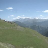
What you see when you arrive: stone buildings in various states of repair, the Caucasus folds dropping away in three directions, the kind of silence that has weight. What you do not see: tourists, infrastructure, or any particular acknowledgement that you are standing at a record-breaking elevation.
Access: Omalo is the base. From Tbilisi, the Abano Pass road is open June to October; the pass itself sits at 2,926 m. From Omalo to Bochorna, 4WD only — hire locally or arrange through a Tusheti guesthouse. The track is approximately 10 km and takes 45–90 minutes depending on conditions.
→ Full access guide, guesthouse contacts, and what to do with three days in Tusheti: Bochorna — The Highest Inhabited Settlement in Europe
2. Oletta, Corsica — The Battle the Village Forgot to Mention
GPS: 42.6333°N, 9.3561°E — Population: ~1,780
Saint-Florent is nine kilometres away. The Gulf of Saint-Florent is visible from the upper streets on a clear morning. Most people driving the D162 from the coast toward the Nebbio interior pass through Oletta without stopping, because nothing signals that they should.
The thing worth stopping for is in the Parish Church of Saint-André, which is usually unlocked during daylight hours. Inside, a wooden triptych painted in 1534 — before the French crown had jurisdiction over Corsica, before the Genoese fortifications at Saint-Florent were completed, before most of what is now called Corsican history had happened. It is a Renaissance object in an otherwise unremarkable church interior, in a village that receives perhaps forty dedicated visitors a year.
The historical record is more layered than the triptych alone. In September 1768, approximately 4,000 Corsican fighters attacked French positions at Oletta — one of the significant engagements of the French conquest of the island. The following year, the Treaty of Versailles transferred Corsica from Genoa to France. The battle is documented in French military archives and almost entirely absent from English-language coverage of the village.
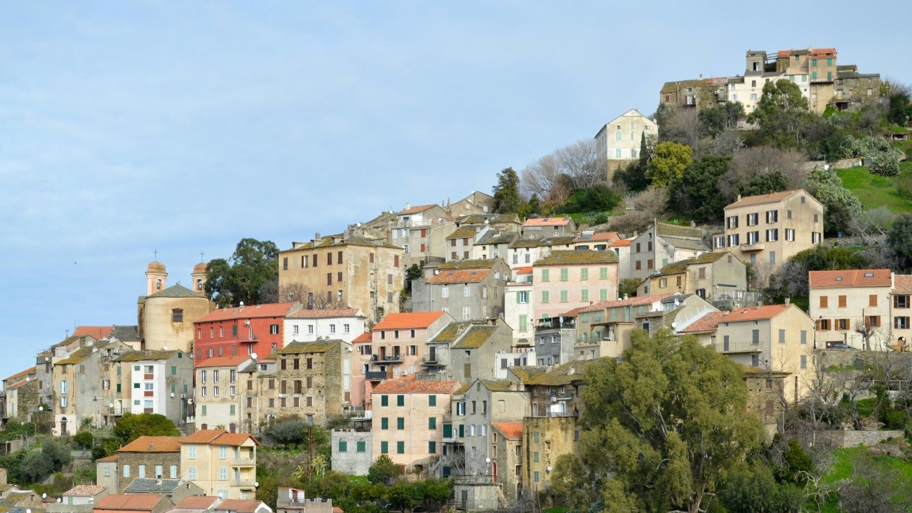
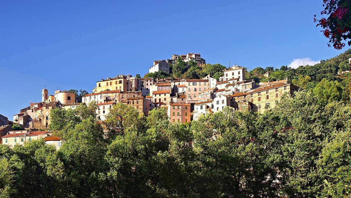
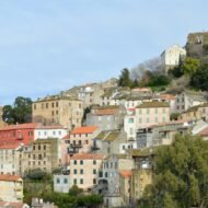
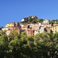
What Oletta looks like: schist and granite, the pale stone that Corsican villages share regardless of microclimate, streets narrow enough that two people walking cannot pass without one turning sideways. The café on the main square opens reliably. The abandoned hamlet of Romanacce, two kilometres into the maquis, has held continuous Easter processions since 1734 — a practice that has outlasted the settlement itself.
Access: Drive the D162 from Saint-Florent (9.4 km, 15 minutes). The village has a small parking area near the church. No public transport from Saint-Florent; the route requires a car or bicycle.
→ What the Nebbio really looks like — and where else to go beyond the gulf: Oletta
3. Vlkolínec, Slovakia — The Thirteen People Who Kept It Alive
GPS: 49.0393°N, 19.2784°E — Elevation: 718 m
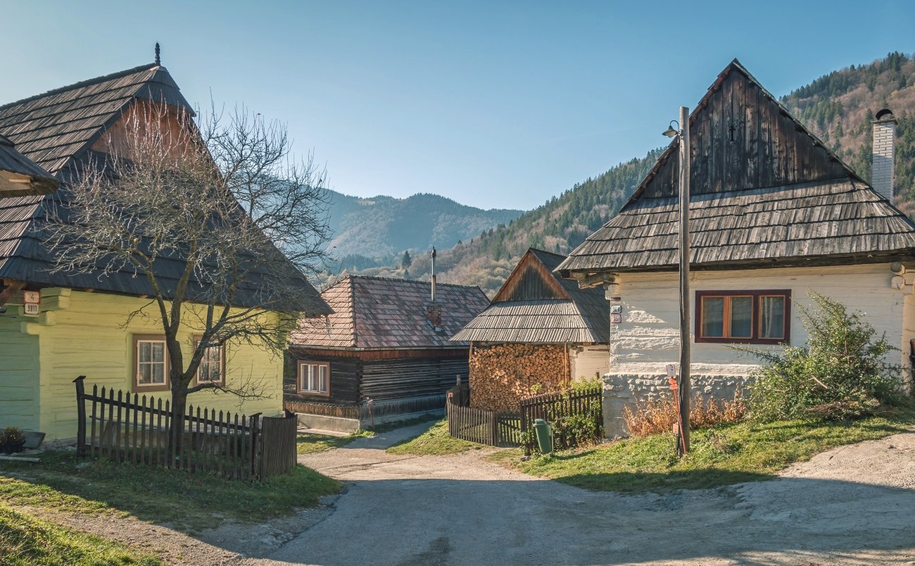
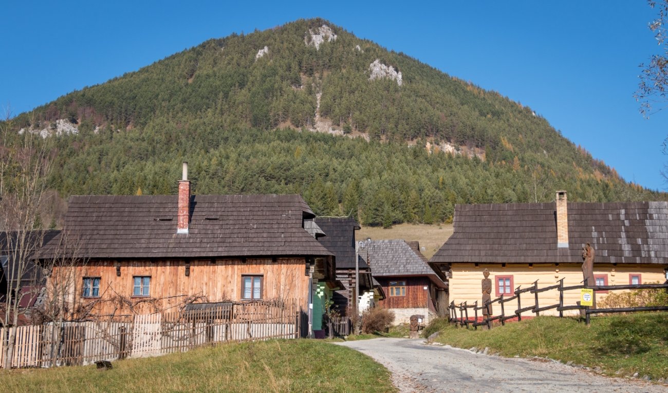
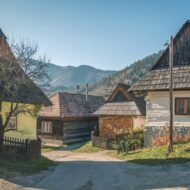
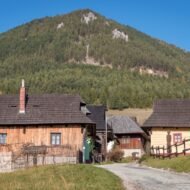
The UNESCO designation came in 1993. The first written record of the village dates to 1376. In the intervening six centuries, Vlkolínec did not transform itself into anything. It remained what it was: a cluster of log-and-stone houses on a hillside in the Low Tatras, built to the same proportions and using the same materials as the houses that came before them.
Thirteen people live here year-round. The UNESCO count identifies 43 homesteads; a ground-level count reaches 55. The discrepancy reflects ongoing occupation patterns — some buildings are maintained by families who use them seasonally, some by descendants of former residents, some are genuinely empty. The point is that Vlkolínec is not a museum. The thirteen people who winter here do so in the village as it is, not as it has been curated to appear.
The architecture does what mountain vernacular always does: solves problems. The log construction handles thermal mass. The orientation of buildings minimises wind exposure from the north. The painted gable details — blue, white, ochre, depending on the house and the decade — are the one decorative gesture in an otherwise entirely functional grammar. Walking the single street that constitutes the village, you are looking at solutions, not style.
Five to seven kilometres from Ružomberok, on a narrow paved road that prevents bus access. The parking area at the village entrance charges approximately €1 per hour. Entry is free.
Access: From Ružomberok, follow signs toward Vlkolínec — the road is paved but tight. Journey time from Ružomberok: 12–15 minutes. No bus service; car or taxi only. Accessible year-round, though the road may require caution in winter.
→ Everything about visiting — what’s there, what’s not, and what to combine it with: Vlkolínec: Slovakia’s UNESCO Mountain Village
4. Tobera, Spain — The Paper Mill Nobody Remembers
GPS: 42°46’N, 3°19’W — Population: 23
The waterfalls are what bring people. The Cascadas de Tobera, a series of drops through a limestone gorge, are the reason the village appears in any Spanish travel list at all. They are genuinely worth seeing. They are not the most interesting thing here.
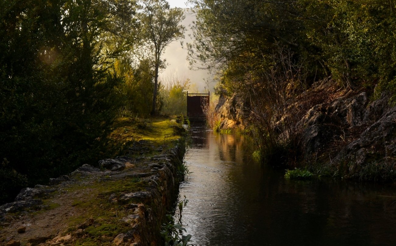
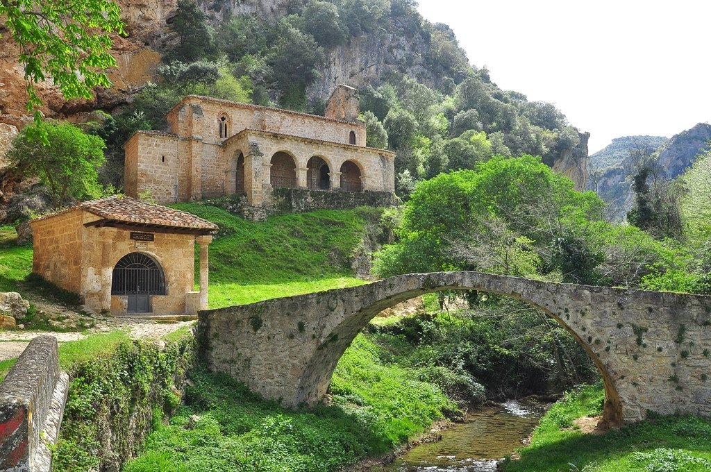
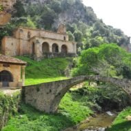
What the village does not advertise: for several centuries, a paper mill in Tobera supplied paper to printing presses across Burgos province. It was one of the oldest industrial paper operations in Spain — a significant piece of early modern production history, in a hamlet that currently has twenty-three residents. The 13th-century hermitage of Santa María de la Hoz is cut into the rock face above the gorge. A Roman-Medieval bridge crosses the river at the village entrance. The paper mill is gone; its history is not commonly documented in the signage.
Tobera has been part of the municipality of Frías since 1489. Frías itself — a medieval fortress town on a limestone outcrop — is eleven kilometres away and is the more likely overnight base. The road between them follows the Purón river valley and takes fifteen minutes. From Burgos, the route north via the BU-504 is approximately ninety kilometres.
The population of twenty-three means the village functions as a village — not a ruin, not a heritage site, not a destination constructed around tourism. The bar opens at weekends. The church holds services on feast days. People live here because they have always lived here, in the way that has become increasingly rare in rural Castile.
Access: From Burgos, take the N-629 north toward Trespaderne, then local roads to Tobera via Frías — approximately 90 km, 1 hour 20 minutes. From Bilbao, approximately 80 km south via the AP-68 and local roads. The waterfall car park is at the village entrance.
→ How to find it, what to do in the gorge, and the wider Burgos backcountry: Tobera: The Hamlet in Burgos Nobody Finds
5. Sirogojno, Serbia — The Knitting Cooperative the Cold War Built
GPS: 43.6861°N, 19.8797°E — Elevation: 911 m — Population: ~630
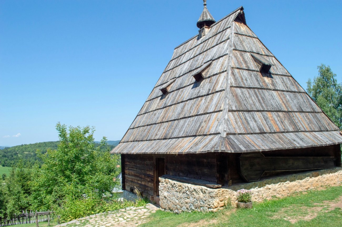
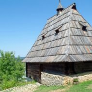
The open-air museum is the official reason to come. Staro Selo — Old Village — opened on 30 July 1992, the only open-air museum of its kind in Serbia: five hectares, fifty-plus structures, the full vocabulary of Zlatibor highland domestic architecture preserved on its original hillside. The traditional house type is the Dinara log cabin. The auxiliary buildings have specific names: vajat for the sleeping cottage annex, mlekara for the dairy, kačara for the cooperage, ambar for the barn, uljanik for the beehive shelter. The reconstruction is serious. The site is not crowded.
What most visitors do not find is the second museum, fifty metres away: the knitting museum.
In the 1970s, a cooperative formed in Sirogojno to produce handmade knitwear — the geometric patterns drawn from highland textile traditions, produced by village women working at home, sold under the label “Sirogojno style.” The cooperative exported to Western Europe and the United States. In a Yugoslav socialist economy, this represented an unusual flow of hard currency into a rural community. The knitwear operation sustained livelihoods in the village for two decades. It is almost entirely absent from English-language coverage of the region.
The knitting museum documents this history with the specificity of a place that is proud of something most outsiders have never heard of. It is worth an hour. The open-air museum is worth two more.
Sirogojno sits twenty-three kilometres from Zlatibor by local road, thirty kilometres from Užice via Mačkat. The combination — Staro Selo, the knitting museum, a night in Zlatibor — makes a coherent two-day circuit in western Serbia that most visitors to the country do not make.
Access: From Zlatibor, drive northwest on local roads toward Sirogojno — approximately 23 km, 30 minutes. From Užice, take the road via Mačkat — approximately 30 km, 40 minutes. Staro Selo is signposted in the village. Museum open daily in summer; reduced hours off-season.
→ The full Zlatibor highland loop — Sirogojno, Zlatibor, and what’s beyond: Sirogojno
What These Villages Have in Common
They are not ruins. They are not ghost towns. They are not heritage sites converted into versions of themselves for an audience.
One has a retired doctor who chose altitude over convenience. One has a triptych from 1534 in a church that is usually empty. One has thirteen people keeping a UNESCO site alive through ordinary inhabitation. One has a paper mill history that twenty-three residents haven’t thought to publicise. One has a knitting cooperative that exported to America during the Cold War and a museum nobody visits to prove it.
The thing these places share is not obscurity for its own sake. It is that they continued — doing what villages do, without audience or assistance — while the travel industry looked somewhere more photogenic.
They are worth the detour. They are worth more than a detour.
Planning a route through less-visited Europe?
→ Tbilisi Beyond the Map — The Wanders City Guide The base for Tusheti. Everything in Tbilisi that isn’t on the first page of results — neighbourhoods, timing, the things worth staying an extra day for.
→ Autumn Photography in Europe — The Beyond the Map Premium Guide The light guide for photographers who don’t want to photograph what everyone else photographs. Timing, locations, the villages that work in October.
→ Overland & Campervan in the Balkans — The Beyond the Map Road Guide Serbia, Albania, Bosnia — the highland villages of the western Balkans by road. Sirogojno is in here. So is Bochorna’s neighbour range.
→ Soča Valley Beyond the Map — The Premium Field Guide For when the route passes through Slovenia. The valley in full — not just the river.
→ Hidden Europe — The Beyond the Map Map Every place like this, mapped. The framework for building your own itinerary through the corners.