

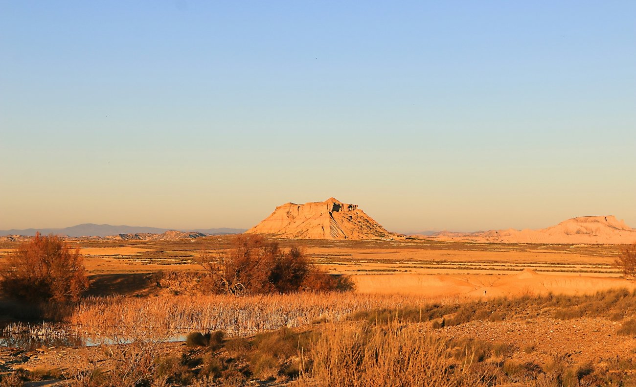
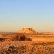
An hour south of the green hills of Pamplona, the land suddenly turns white and bare. Clay towers, flat-topped mesas and dry gullies stretch to the horizon. Bardenas Reales looks like a desert from a western, and it belongs to shepherds, to kings and to the air force.
Navarre is famous for the Pyrenees, the running of the bulls and the Camino de Santiago. Few people expect to find a desert here. And yet, in the far south-east of the region, between the Ebro valley and the border with Aragon, lies Bardenas Reales: about 42,000 hectares of semi-desert badlands, shaped by wind and water into some of the strangest landscapes in Europe.
It has no towns and almost no people. What it does have are sculpted clay hills (cabezos), wide plateaus, salty depressions, pine-covered heights, and one of the most photographed rocks in Spain.
At a glance
| Where | South-east Navarre, near Arguedas and Tudela, Spain |
| Coordinates | 42.20° N, 1.50° W (centre of the park) |
| What | Semi-desert badlands; Natural Park (1999), UNESCO Biosphere Reserve (2000) |
| Size | About 42,000 hectares |
| Open | From 8:00 until one hour before sunset |
| Entry | Free |
| Time needed | Half a day to a full day |
A desert made of clay
Millions of years ago, this was the bottom of a great lake. Layers of clay, gypsum and sandstone settled here, and over time, rain, rivers and wind carved them away. The softer clay eroded fast; where a harder layer of sandstone sat on top, it protected the clay below, leaving towers and tables standing alone in the plain.
The park has three main areas:
- La Bardena Blanca, in the centre: white gypsum soils, steppe plants and the most famous formations. This is the landscape most people come to see.
- La Bardena Negra, in the south: higher and darker, with clay soils and forests of Aleppo pine.
- El Plano, in the north: a high, flat plateau of farmland and wide views.
Despite the bare look, the park is full of life: vultures, eagles and steppe birds, and in winter and spring, green fields of cereals on its edges.
Kings, shepherds and bombers
The name means “the royal Bardenas”. For centuries, this land belonged to the kings of Navarre, who granted the right to use it to nearby towns and valleys. Tradition says the first was the Roncal valley, in the Pyrenees, in 882, as a reward for helping the king. Every autumn, shepherds still bring their flocks down from the mountains to winter here, along the old drovers’ routes.
In the 18th century, after the War of the Spanish Succession, the towns bought the right to use the Bardenas in perpetuity from King Philip V. Today, the land is still owned by the Comunidad de Bardenas Reales, a community of 22 towns, valleys and the monastery of La Oliva, known as the congozantes. It is one of the oldest systems of common land in Europe.
And then there are the planes. In 1951, an area of about 2,244 hectares in the middle of the Bardena Blanca was leased to the Spanish Ministry of Defence as an air force firing range. It is still in use, sometimes for NATO exercises, and the lease runs until 2028. The range is closed to the public, and the main tourist track runs around its edge. On some days, you will hear the jets before you see them.
What to see
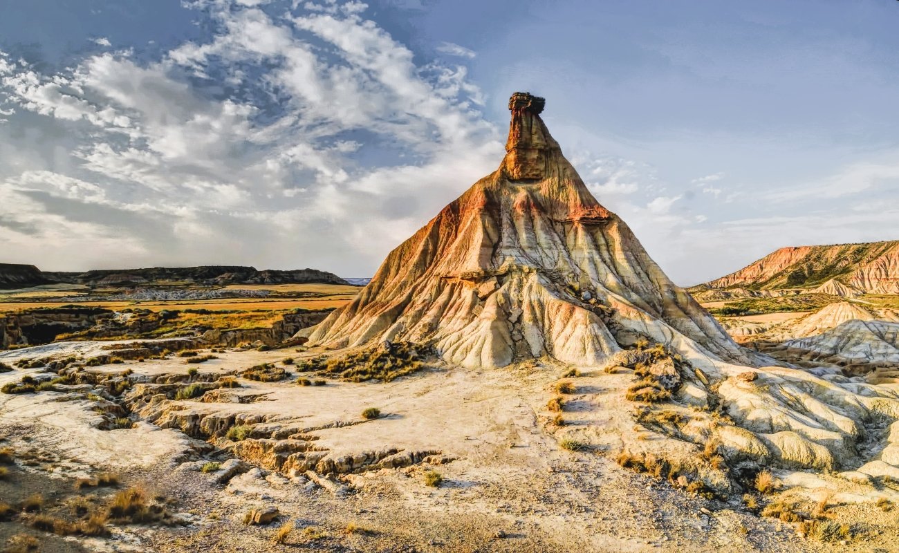
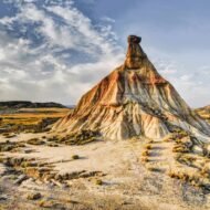
Castildetierra. The symbol of the Bardenas: a slender clay tower crowned by a block of harder rock, standing alone on the edge of the plain. It is fragile and slowly eroding. In March 2026, heavy rain caused part of its north slope to collapse, although the top survived. You can see it from the viewpoint and car park nearby, but do not climb it.
The Bardena Blanca circuit. A dirt track loops around the firing range, passing the most striking cabezos, among them Pisquerra and La Ralla, and the wide white flats. It can be done by car, bicycle or, in parts, on foot.
The Bardena Negra. Further south, a quieter, wilder landscape of pinewoods, ravines and high viewpoints, with the Rincón del Bú and Caídas de la Negra nature reserves.
On screen. The Bardenas have appeared in many films and adverts. In the sixth season of Game of Thrones, they became the Dothraki Sea.
Rules for visiting
The Bardenas are fragile and partly a military zone, so visits follow strict rules:
- The park is open from 8:00 until one hour before sunset. Staying overnight is not allowed.
- Stay on the marked tracks. Driving or cycling off-track is forbidden, and the firing range is closed at all times.
- The speed limit on the tracks is 40 km/h, and you may stop only in signed parking areas.
- Some areas close temporarily: during military exercises, after storms, and during the bird-nesting season (from February to early September in some zones around the firing range, including near Pisquerra and La Ralla).
- There is no water, shade or shops inside the park. Bring plenty of water, a full tank and sun protection.
Check the park’s official website or the visitor centre for closures before you go.
When
Best: spring (March to May) and autumn (late September to November).
In spring, the edges of the park turn green, the light is soft and the temperatures are pleasant. Autumn brings clear skies, golden light, and the return of the flocks from the Pyrenees. Summer is very hot, with almost no shade; go early in the morning or late in the afternoon. Winter days can be bright and beautiful, but cold and windy, and the clay tracks become muddy after rain.
Weather in Bardenas Reales: a dry, continental climate, hot in summer and cold in winter. In nearby Tudela, average highs are about 11°C in January, 18°C in April, 31°C in July and 21°C in October. Rain is low all year, but storms can turn the tracks to mud. The cierzo, a strong north-west wind, often blows across the plain.
Getting there
- Visitor centre: on the park road, about 6 km from Arguedas. Maps, route advice and the latest closures are available here.
- From Tudela: about 30 minutes by car.
- From Pamplona: about 1 hour, via the AP-15 motorway.
- From Zaragoza: about 1 hour 15 minutes.
- Inside the park: the main tracks are unpaved dirt roads. Drive slowly, and avoid them after heavy rain, when the clay turns to mud.
Beyond the map
Most people imagine Spain’s deserts in Almería, in the far south. Bardenas Reales is in the north, between the vineyards of the Ebro and the Pyrenees, and it feels like another continent. Shepherds still cross it in autumn, planes still roar over it, and the clay towers keep slowly falling. Come soon, and come gently.
Read next: Kingdom of Aragon · Europe’s Most Beautiful, Beyond the Map