

Before it ruled half the Mediterranean, Aragon was a small mountain kingdom in the Pyrenees. Five places, from a monastery under a cliff to a pink town above a gorge, still tell its story better than any museum.
Most travellers cross Aragon without stopping. They drive from Madrid to Barcelona, glance at the empty plains around Zaragoza, and move on. But north and south of that road lies the heartland of one of the great medieval kingdoms of Europe.
Aragon began in the 11th century as a tiny realm in the Pyrenean valleys. Within a few hundred years, its kings had pushed south to the plains of Teruel, joined with Catalonia, and built a Mediterranean power, the Crown of Aragon, that reached Mallorca, Sardinia, Sicily and Naples. One of its kings, Ferdinand, married Isabella of Castile, and together they created Spain.
The story of how that happened is written in stone across Aragon: in the monastery where its first kings were buried, in the castles of the old frontier, in the village where Ferdinand was born, in the Mudéjar towers of Teruel, and in a mountain town that once refused to answer to any king at all.
This article is the starting point of our Kingdom of Aragon series: five places, each with its own full article, and one complete route guide.
| Place | Why go | |
|---|---|---|
| 1 | San Juan de la Peña | The monastery under the rock, where the first kings lie |
| 2 | Sos del Rey Católico | The village where Ferdinand the Catholic was born |
| 3 | Loarre Castle | One of the finest Romanesque castles in Europe |
| 4 | Teruel | Mudéjar towers and the legend of the Lovers |
| 5 | Albarracín | The town that was its own kingdom |
1. San Juan de la Peña
42.51° N, 0.67° W · Near Jaca, Huesca, in the Aragonese Pyrenees
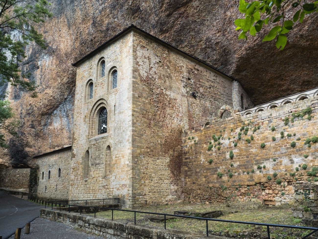
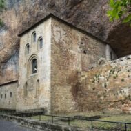
In a forested valley south-west of Jaca, a huge overhang of rock hangs over a monastery like a stone roof. The old monastery of San Juan de la Peña was built beneath it in the 10th century, and its church is partly carved into the cliff. This was the spiritual heart of early Aragon: its upper level holds the royal pantheon of the first kings, among them Ramiro I, Sancho Ramírez and Peter I.
Its Romanesque cloister, built around 1190, has capitals carved with scenes from the Bible, open to the forest under the rock. And there is a legend: according to tradition, the Holy Grail, the cup of the Last Supper, was hidden here for safety, before it was later given to the cathedral of Valencia.
In August 2026, a large wildfire reached the area, and the remains of the kings were taken to Huesca for safekeeping. They returned to the pantheon at the end of October.
In the Route Guide: how to visit the old and new monasteries, the best walk up through the forest, and where to stay in the Jaca valley.
When: May to October, early morning for the quietest cloister. Weather at San Juan de la Peña: a mountain climate. In nearby Jaca, average highs are about 29°C in July and August, 24°C in September and 18°C in October, while January is around 9°C, with frost and snow in winter. October is the wettest month. Getting there: about 30 minutes by car from Jaca.
2. Sos del Rey Católico
42.50° N, 1.21° W · Cinco Villas, Zaragoza province
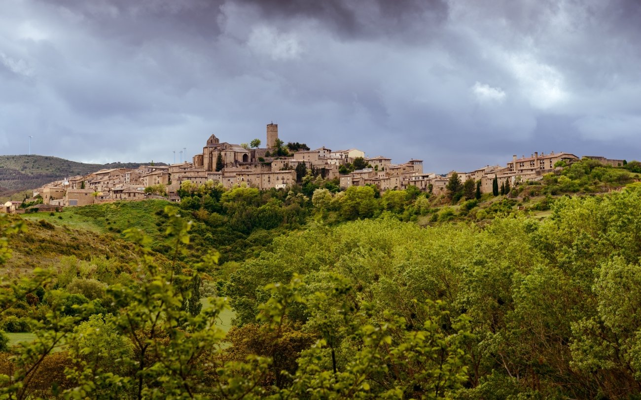
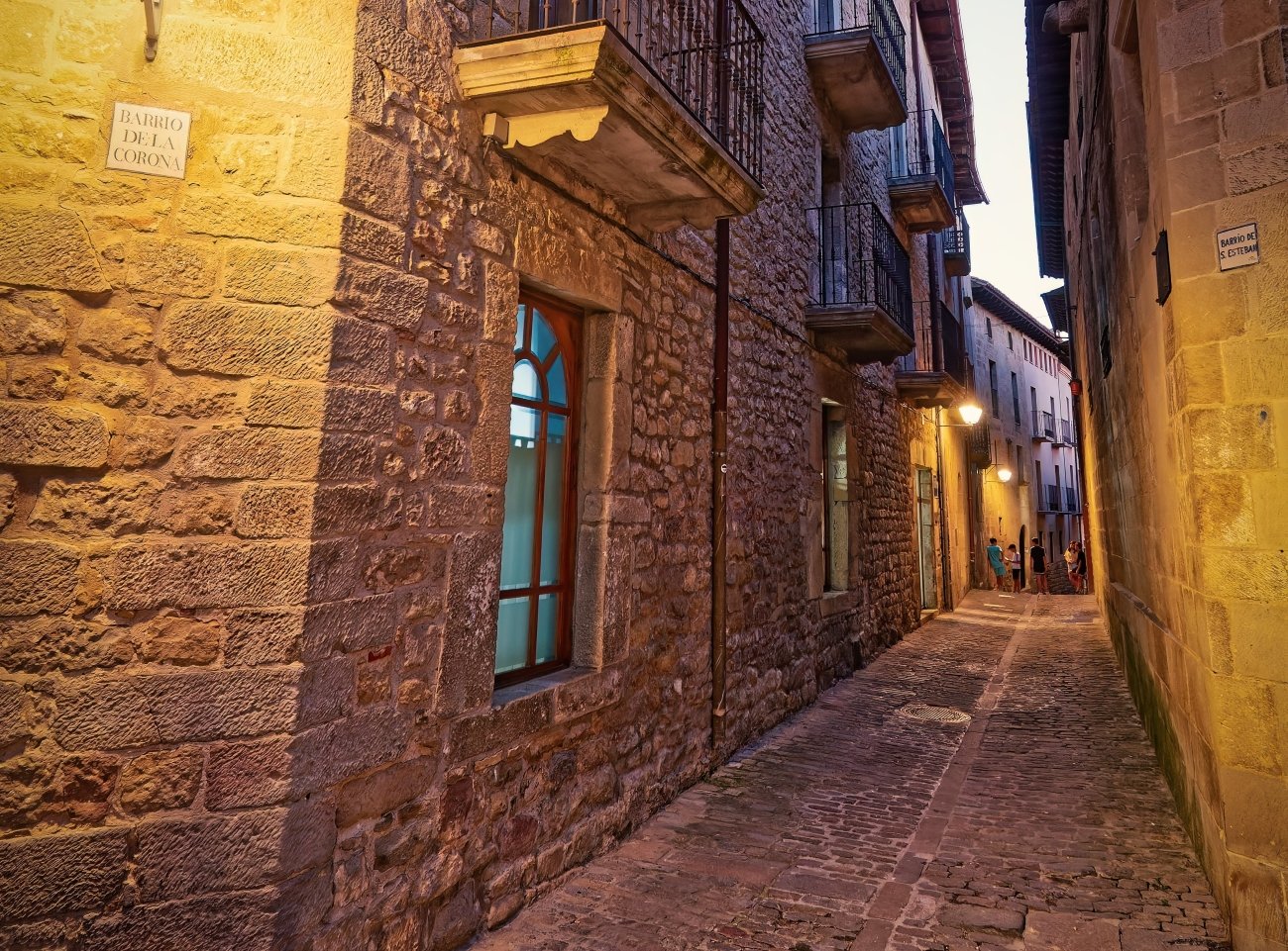
On a ridge on the old frontier between Aragon and Navarre, the stone village of Sos climbs towards the tower of its castle. On 10 March 1452, in the Palacio de los Sada, a boy was born who would become Ferdinand II of Aragon, “the Catholic”, husband of Isabella of Castile. The village later added his title to its name.
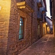
Sos has hardly changed since. Its historic centre has been protected since 1968: steep stone lanes, arched gateways, noble houses, a 12th-century castle keep and the streets of the old Jewish quarter, whose families left for Navarre in 1492. Film-makers love it; Luis García Berlanga shot his comedy La vaquilla here, with villagers as extras.
In the Route Guide: a walking route through the old town, the Palacio de Sada, and the other villages of the Cinco Villas.
When: April to June and September to October. Weather in Sos del Rey Católico: a continental climate between the Pyrenees and the Ebro plain: hot, dry summers, cool springs and autumns, and cold winters with frost. Expect conditions similar to Huesca, with highs around 31°C in July and 20°C in October. Getting there: the easiest approach is by car from Zaragoza or Pamplona.
3. Loarre Castle
42.33° N, 0.61° W · Sierra de Loarre, Huesca
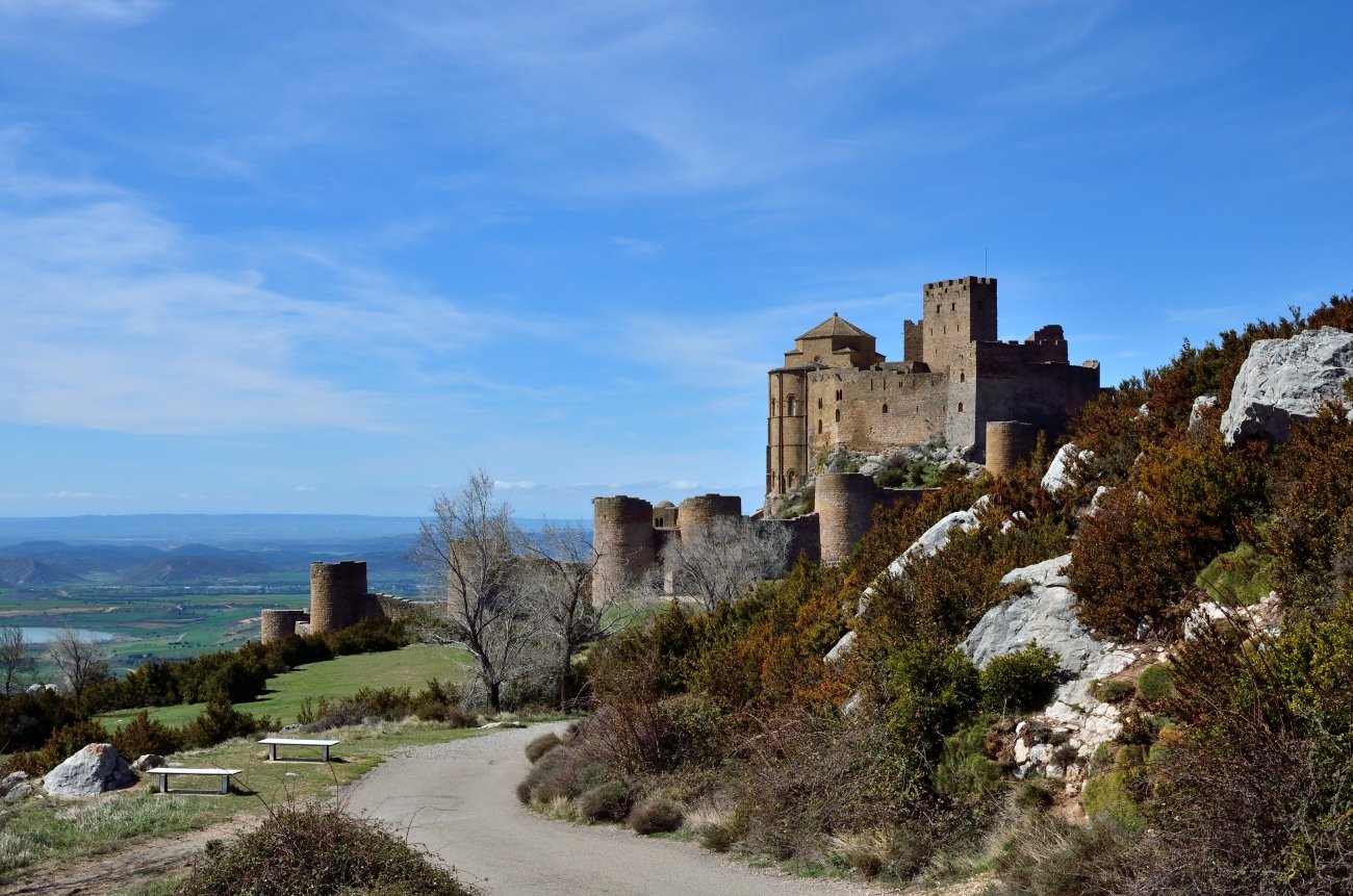
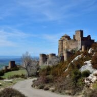
Rising from a rocky ridge above the plain of Huesca, Loarre looks exactly like a castle should. Built mainly in the 11th century, it stood on the frontier between Christian Aragon and Muslim Huesca, and it was from here that King Sancho Ramírez prepared his campaign to take the city in 1094.
Loarre is both a fortress and an abbey. In 1073, the king installed a community of Augustinian canons inside its walls, and its Romanesque church is one of the finest of its time. Its towers and walls are so well preserved that Ridley Scott filmed scenes of Kingdom of Heaven here in 2005.
In the Route Guide: the best time of day to visit, the walk around the outer walls, and how to combine Loarre with the red rock towers of Riglos.
When: all year; spring and autumn for clear views across the plain. Weather at Loarre: in nearby Huesca, average highs are about 32°C in July, 26°C in September and 20°C in October, and about 9°C in January. Summers are dry, while May and October are the rainiest months. The castle stands on an exposed ridge, so it is often windier and cooler than the plain. Getting there: about 45 minutes by car from Huesca.
4. Teruel
40.34° N, 1.11° W · Southern Aragon
In the south of Aragon, the city of Teruel rises on a hill above the river Turia. It is known for two things: its towers and its lovers.
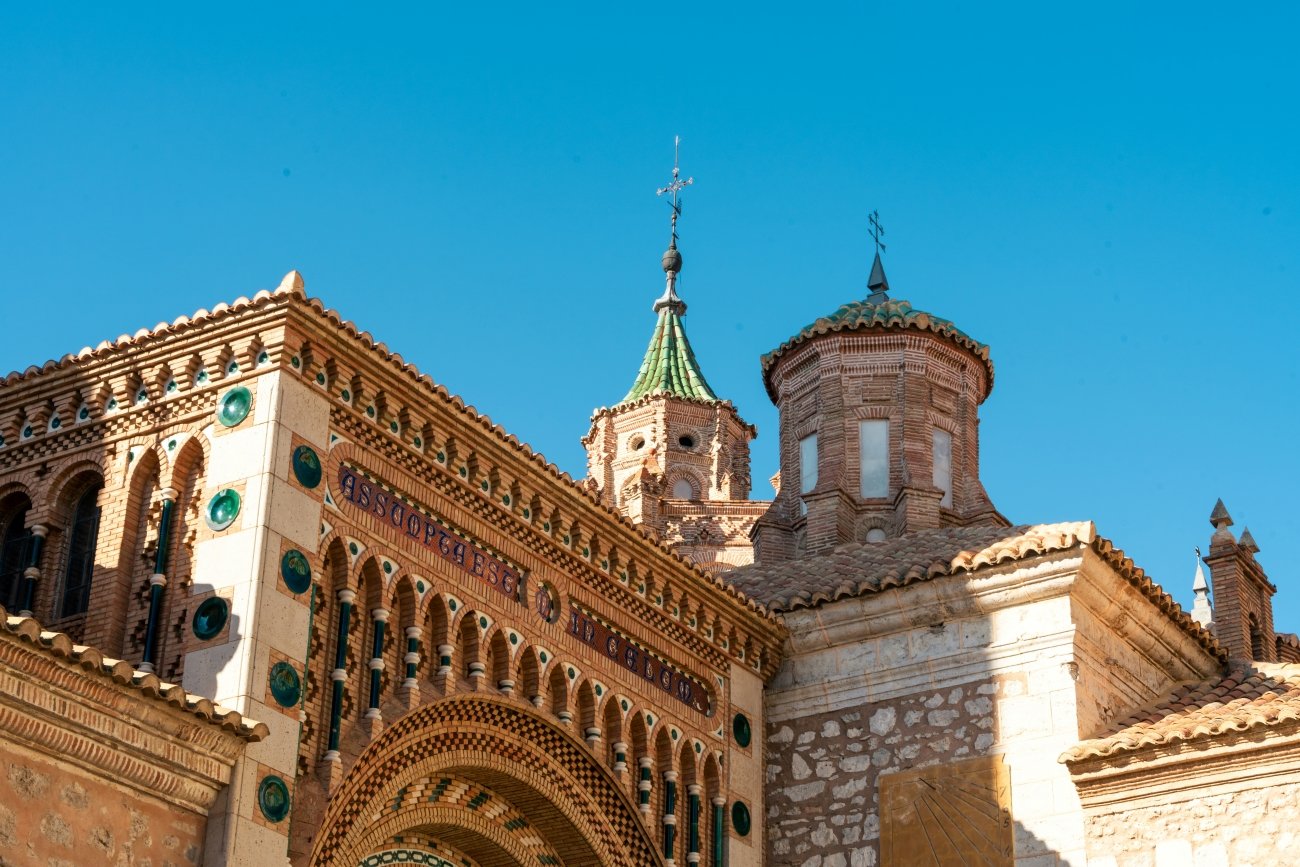
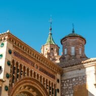
The towers are Mudéjar, built by Muslim craftsmen living under Christian rule, who decorated brick with glazed green and white ceramics in patterns that mix Islamic and Gothic art. In 1986, UNESCO listed Teruel’s Mudéjar architecture as a World Heritage Site, including the towers of El Salvador, San Martín and San Pedro and the cathedral, with its painted wooden ceiling.
The lovers are Diego and Isabel, the “Lovers of Teruel”. According to the legend, Diego left to make his fortune so he could marry Isabel, but returned too late, after she had been married to another. He died of grief, and she died at his funeral. Their mausoleum is one of the most visited places in the city.
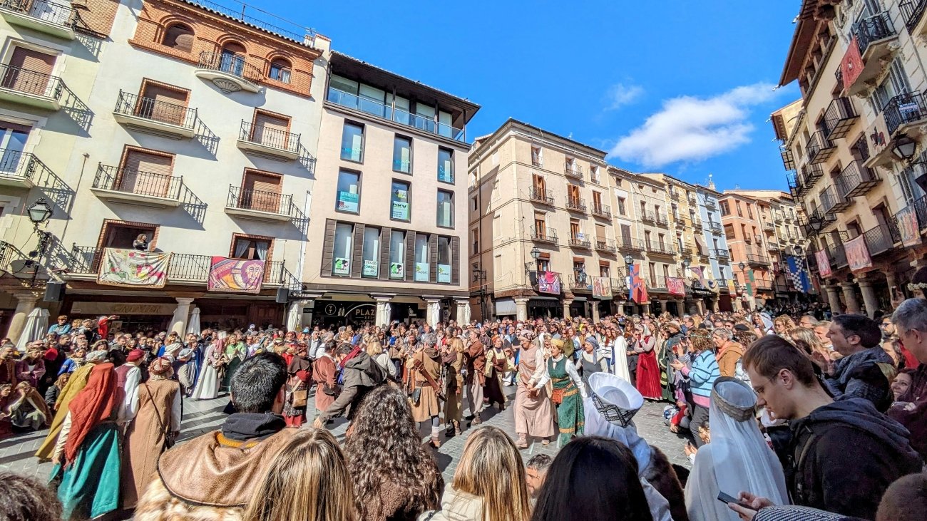
In the Route Guide: a route through the Mudéjar towers, the Lovers’ Mausoleum, and the city’s medieval festival.
When: spring and autumn, February for the medieval festival of the Lovers. Weather in Teruel: a dry, continental climate with strong contrasts. Average highs are about 32°C in July, 26°C in September and 20°C in October, and about 10°C in January, when nights are often below freezing. May is the wettest month. Getting there: about two hours by car from Valencia or Zaragoza.
5. Albarracín
40.41° N, 1.44° W · Sierra de Albarracín, Teruel
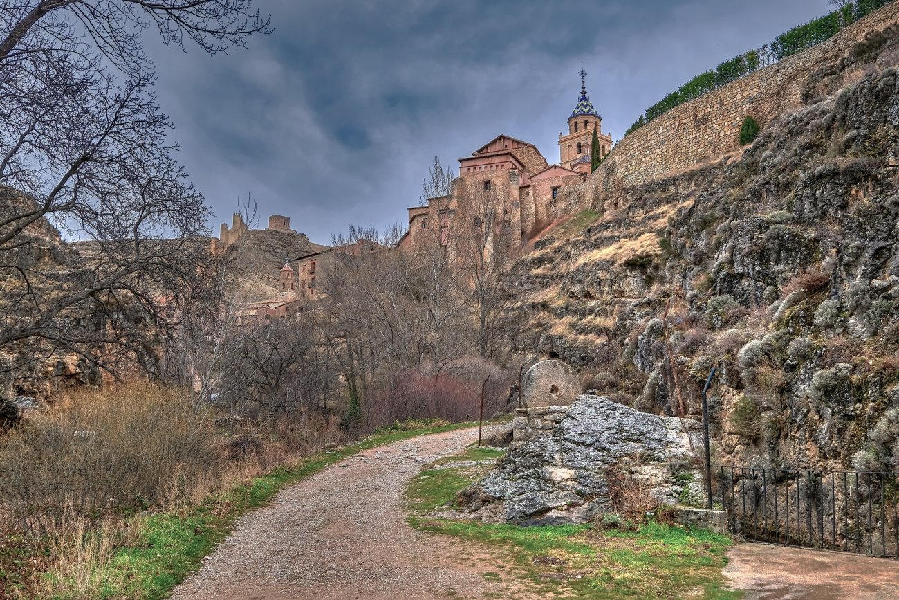
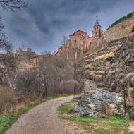
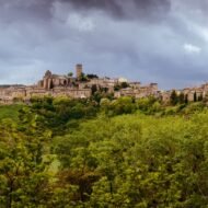
Above a loop of the river Guadalaviar, the pink houses and walls of Albarracín climb a ridge in the mountains west of Teruel. Its history is unlike that of any other town in Aragon. In the 11th century, it was the capital of its own Muslim kingdom. In 1170, its lord, Pedro Ruiz de Azagra, made it an independent Christian lordship that answered neither to Castile nor to Aragon. It held out until 1284, when it finally became part of the Kingdom of Aragon.
Today, it is one of the most beautiful towns in Spain, and one of the best places to understand how the borders of medieval Aragon were won.
→ Read more: Albarracín
In the Route Guide: the walk along the walls, the best viewpoints, and the rock landscapes of the Sierra de Albarracín.
When: April to June and September to October, winter for snow. Weather in Albarracín: like Teruel, but a little cooler at around 1,170 m. Summers are hot and dry, winters cold, with frost and snow. Getting there: about 40 minutes by car from Teruel.
The route
Together, these five places make a natural journey through Aragon, from north to south: from the Pyrenean valleys where the kingdom was born, along the old frontier castles and villages, down to the plains and mountains of the south it conquered. With a car, it takes five to seven days, and it combines easily with Zaragoza, the Pyrenees, or a drive on to Valencia.
Beyond the map
Aragon rarely makes the shortlists of Europe’s great historic regions. Perhaps that is why it feels so unchanged. Its first kings still lie under the rock at San Juan de la Peña. Loarre still guards the old frontier. Ferdinand’s birthplace still stands in Sos. Teruel’s towers still shine with green and white tiles, and Albarracín still looks down on its gorge as if no king had ever ruled it. This is where one of Europe’s great kingdoms began, and you can still travel through it almost alone.
The Kingdom of Aragon — a Beyond the Map Route Guide
[The Kingdom of Aragon — The Beyond the Map Route Guide]
The complete journey through the heartland of medieval Aragon, in one guide:
- A 7-day route from the Pyrenees to Albarracín, with daily driving times
- San Juan de la Peña: visiting the old and new monasteries, and the forest walk
- Sos del Rey Católico and the Cinco Villas: a walking route through Ferdinand’s birthplace
- Loarre Castle and the Riglos rocks
- Teruel: the Mudéjar towers, the Lovers, and the medieval festival
- Albarracín: walls, viewpoints and the Sierra
- Where to stay and eat at every stop, from paradors to village guesthouses
- Seasonal tips, festivals and opening times
- Offline maps and GPS points
→ [Get the Route Guide]
The Kingdom of Aragon series
- The Kingdom of Aragon (this article)
- Albarracín
- San Juan de la Peña (coming soon)
- Sos del Rey Católico (coming soon)
- Loarre Castle (coming soon)
- Teruel (coming soon)
Explore more: Trails · Military Heritage · Hidden Medieval Worlds