

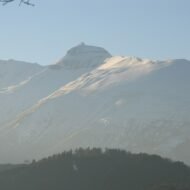
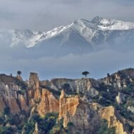
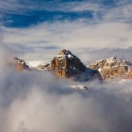
Five European summits that are not the famous ones: a Dolomite peak you can reach on foot, the sacred mountain of the Catalans, Jules Verne’s volcano, the mountain of a legendary sibyl, and the Queen of the Beskids.
Europe’s famous mountains are crowded for a reason. Mont Blanc, the Matterhorn and the Tre Cime are extraordinary, and the whole world knows it. But the continent is full of other summits, some higher than you would expect, some lower but stranger, where the story matters as much as the view.
These five peaks are reachable for experienced walkers, or with a guide. Each one carries a legend or a meaning far beyond its height: a summit hut above the Dolomites, a mountain where Catalans carry fire every June, a glacier volcano that leads to the centre of the earth, a cave where a sibyl was said to rule an underground kingdom, and the Queen of the Beskids in southern Poland.
| Peak | Height | Country | Best for |
|---|---|---|---|
| Piz Boè | 3,152 m | Italy | A 3,000-metre Dolomite summit without climbing |
| Pic du Canigou | 2,784 m | France | Catalan tradition and Pyrenean views |
| Snæfellsjökull | 1,446 m | Iceland | A glacier volcano and Jules Verne |
| Monte Sibilla | 2,173 m | Italy | Medieval legend in the Apennines |
| Babia Góra | 1,725 m | Poland | Sunrise above the Beskids |
1. Piz Boè, Italy
46.51° N, 11.83° E · Sella Group, Dolomites · 3,152 m
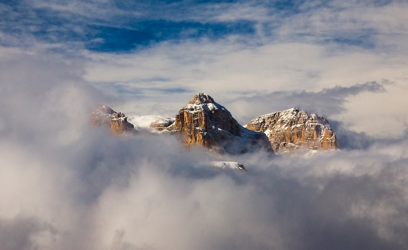
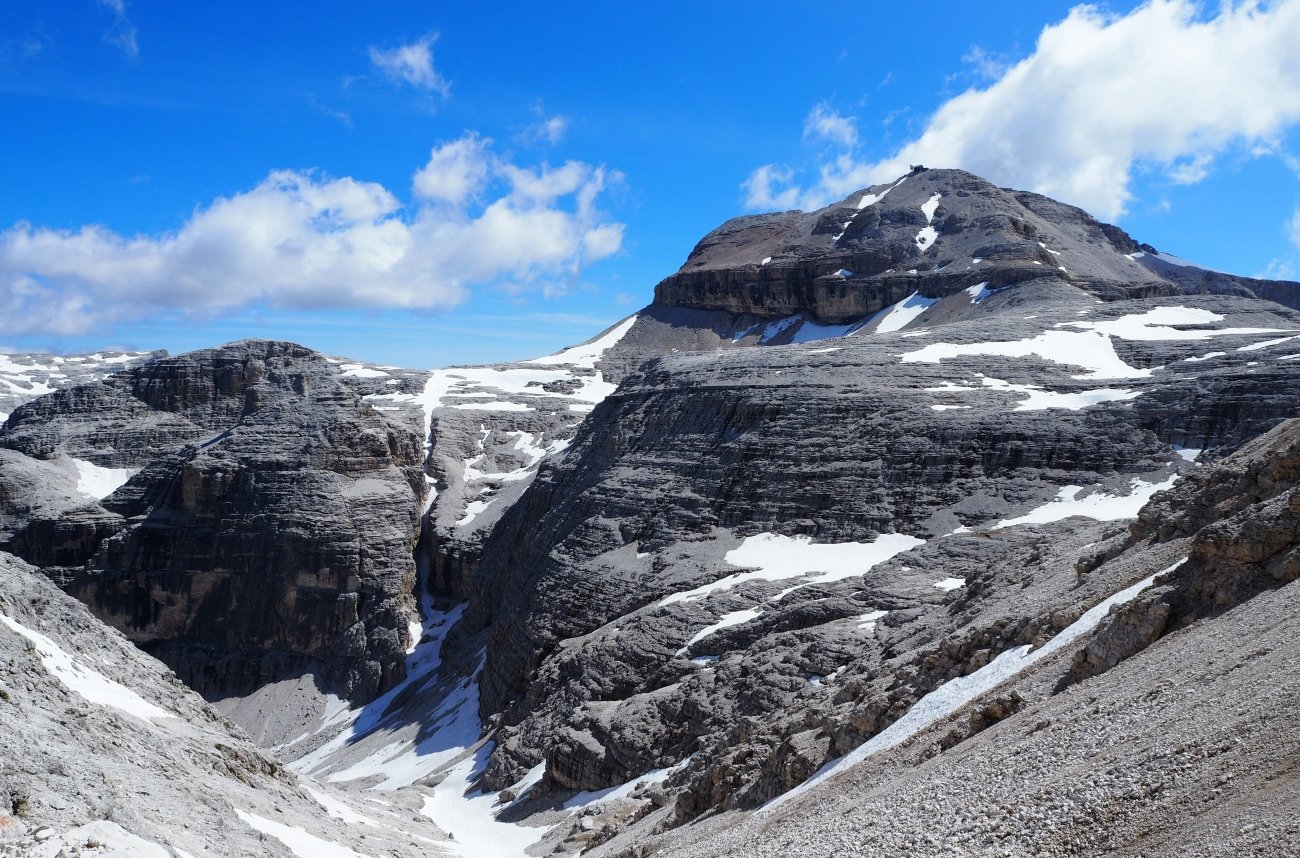
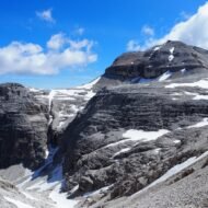
The Sella Group is a great stone fortress in the middle of the Dolomites, ringed by four mountain passes. Its highest point, Piz Boè, is one of the few 3,000-metre summits in the Dolomites that a fit walker can reach without climbing gear.
The usual route starts at the top of the Sass Pordoi cable car, above the Pordoi Pass. From there, a path crosses a high, almost lunar plateau of grey rock, then climbs the final slopes, with fixed ropes on the steepest sections. In just under two hours you reach the summit cross, and beside it a tiny wooden hut, Capanna Fassa, perched at 3,152 metres. The view takes in almost the whole of the Dolomites: the Marmolada glacier, Sassolungo, the Fanes plateau, and range after range beyond.
Piz Boè is not empty in high summer. The secret is timing: go in September, or take the first cable car, and the plateau is quiet.
Missing Coordinates Highlights
- A 3,152-metre summit with no climbing gear needed
- The tiny Capanna Fassa hut beside the summit cross
- The moonscape plateau of the Sella Group
- Views of the Marmolada glacier and the whole Dolomites skyline
When: July to September, when the cable car runs and the path is free of snow; September for fewer people. Snow can stay into midsummer, so check conditions. Weather on Piz Boè: even in midsummer, the summit is often close to freezing in the early morning, and strong wind makes it feel colder. Clear mornings are common, but thunderstorms often build over the Dolomites in the afternoon, so start early. Snow can fall in any month. Getting there: drive or take the bus to Passo Pordoi from Canazei in Val di Fassa, or from Arabba. The Sass Pordoi cable car takes you to the plateau. The full loop from the top station is about 3 hours 15 minutes.
2. Pic du Canigou, France
42.52° N, 2.46° E · Eastern Pyrenees, Pyrénées-Orientales · 2,784 m
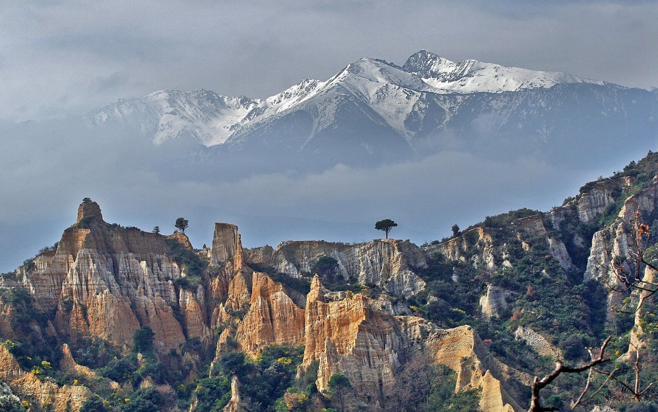
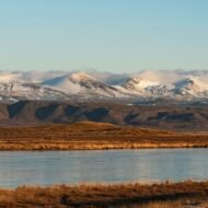
Seen from the plains of Roussillon, the Canigou rises alone above the vineyards, often white with snow. It is far from the highest peak in the Pyrenees, but for Catalans on both sides of the border it is something more: their sacred mountain. On the summit stands an iron cross, often hung with the red and yellow Catalan flag.
Every year on the night of 23 June, the eve of St John, Catalans carry a flame from Perpignan to the summit cross. This is the Flama del Canigó. From the mountain, the fire is passed down to light the midsummer bonfires across Catalonia, in France and in Spain.
Tradition says the first ascent was made by King Peter III of Aragon in 1285. Today, most walkers start from the Chalet des Cortalets refuge, at 2,150 metres on the north side, reached by jeep tracks. Below the mountain, two great medieval monasteries, Saint-Martin-du-Canigou and Saint-Michel-de-Cuxa, keep watch over the valleys.
Missing Coordinates Highlights
- The summit cross and the Catalan flag
- The Flama del Canigó on 23 June
- The refuge of the Cortalets, below the summit
- The monastery of Saint-Martin-du-Canigou, on its rocky spur
- On a few evenings each year, the Canigou can be seen from Marseille, about 250 km away, silhouetted at sunset
When: June to October for the summit; 23 June for the Flama. Weather on the Canigou: the mountain sits between the Mediterranean and the high Pyrenees, so the lowlands can be hot while the summit is cool and windy. The tramontane, a strong, cold north-west wind, can blow hard on the ridges. Snow usually covers the summit from late autumn to late spring. Getting there: Perpignan is about an hour away by car. Jeep taxis run to the Cortalets refuge in summer from the villages of the Conflent valley.
3. Snæfellsjökull, Iceland
64.81° N, 23.78° W · Snæfellsnes Peninsula, western Iceland · 1,446 m
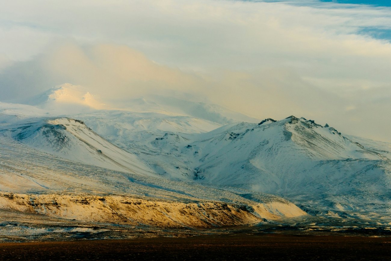
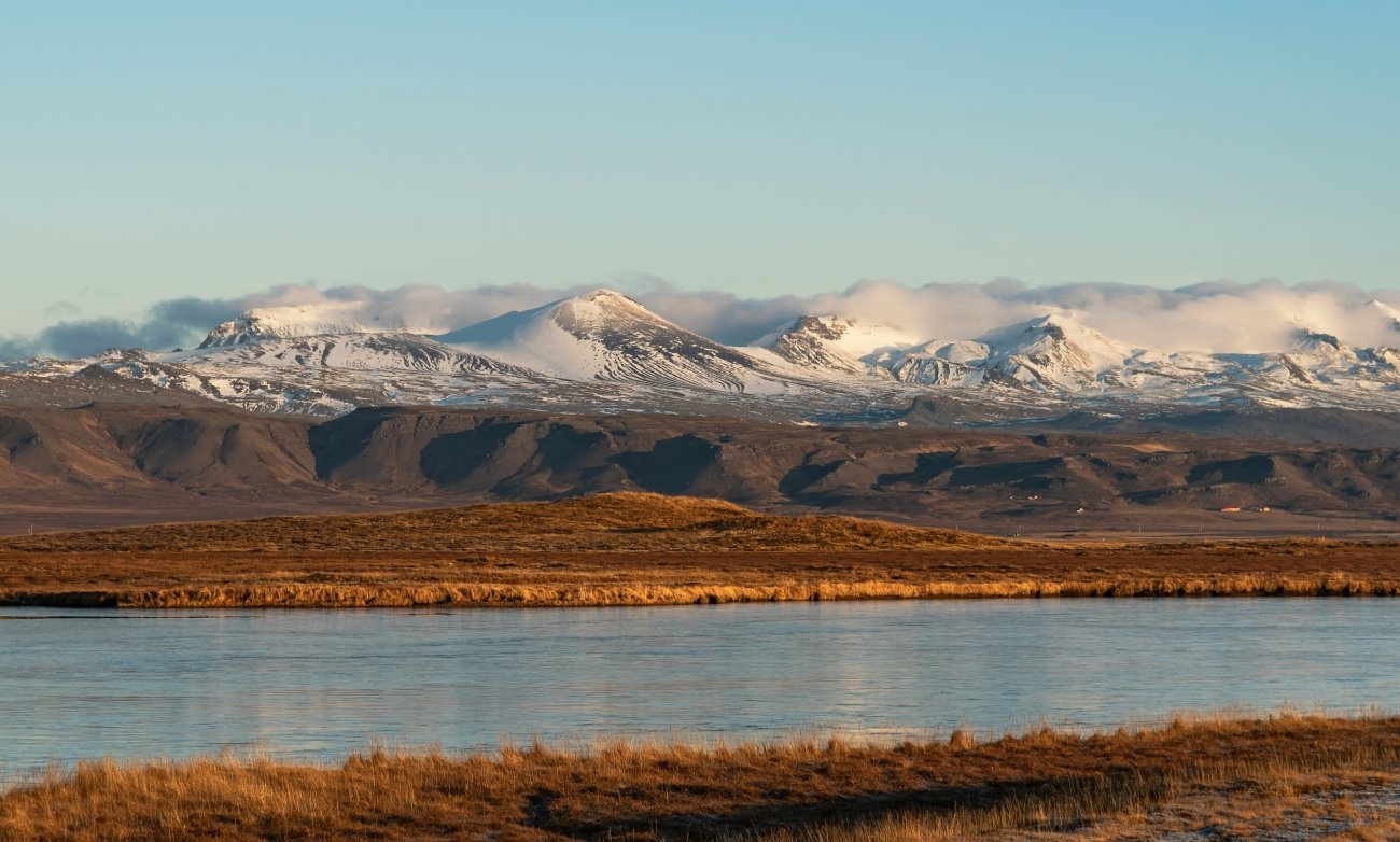
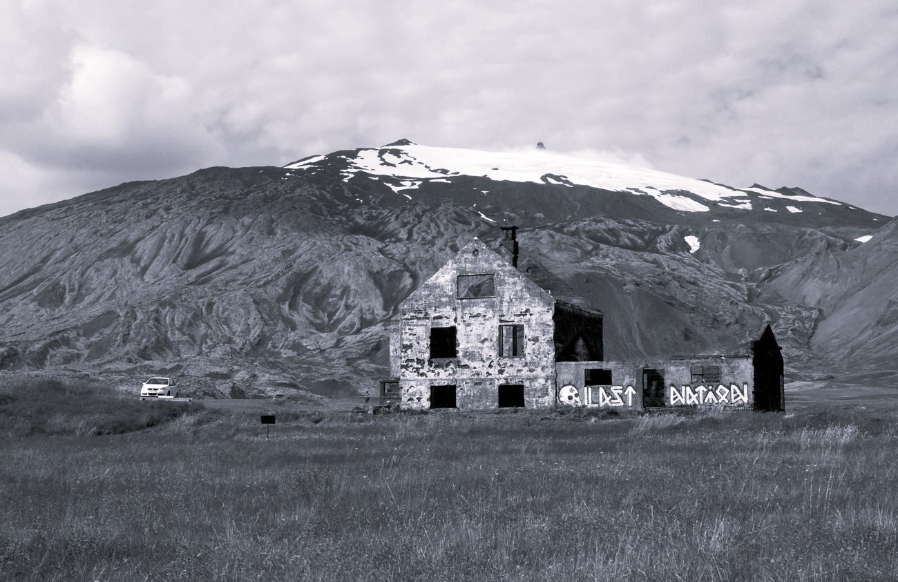
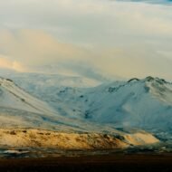
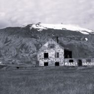
At the western tip of the Snæfellsnes peninsula, a white cone rises from the sea. Snæfellsjökull is a stratovolcano, built over about 700,000 years and capped by a glacier. Its last eruption was around 1,800 years ago. On clear days, it can be seen across the bay from Reykjavík.
In 1864, Jules Verne made it famous: in Journey to the Centre of the Earth, his explorers descend into its crater to find a lost underground world. Long before that, Icelanders believed the mountain was one of the great energy centres of the earth, and it still draws people looking for something more than a view.
The glacier is disappearing. It has lost more than a third of its area since the 1940s, and in August 2012 the summit was free of ice for the first time on record. The area around it has been a national park since 2001. To reach the top, you must go with a certified guide; snowcat tours also run up the glacier.
Missing Coordinates Highlights
- Jules Verne’s entrance to the centre of the earth
- A guided summit climb or snowcat tour onto the glacier
- Lava fields, black beaches and sea cliffs at Arnarstapi and Hellnar
- A glacier that may not survive the century
When: summer for glacier tours and long light; autumn and winter for the northern lights over the peninsula. Weather on Snæfellsjökull: a cool, wet maritime climate, with mild summers and windy winters at the coast. The summit is often hidden in cloud, and conditions on the glacier can change within an hour; tours are cancelled in poor visibility. Expect near-freezing temperatures on the ice, even in July. Getting there: about three hours by car (around 190 km) from Reykjavík.
4. Monte Sibilla, Italy
42.88° N, 13.25° E · Monti Sibillini National Park, Marche · 2,173 m
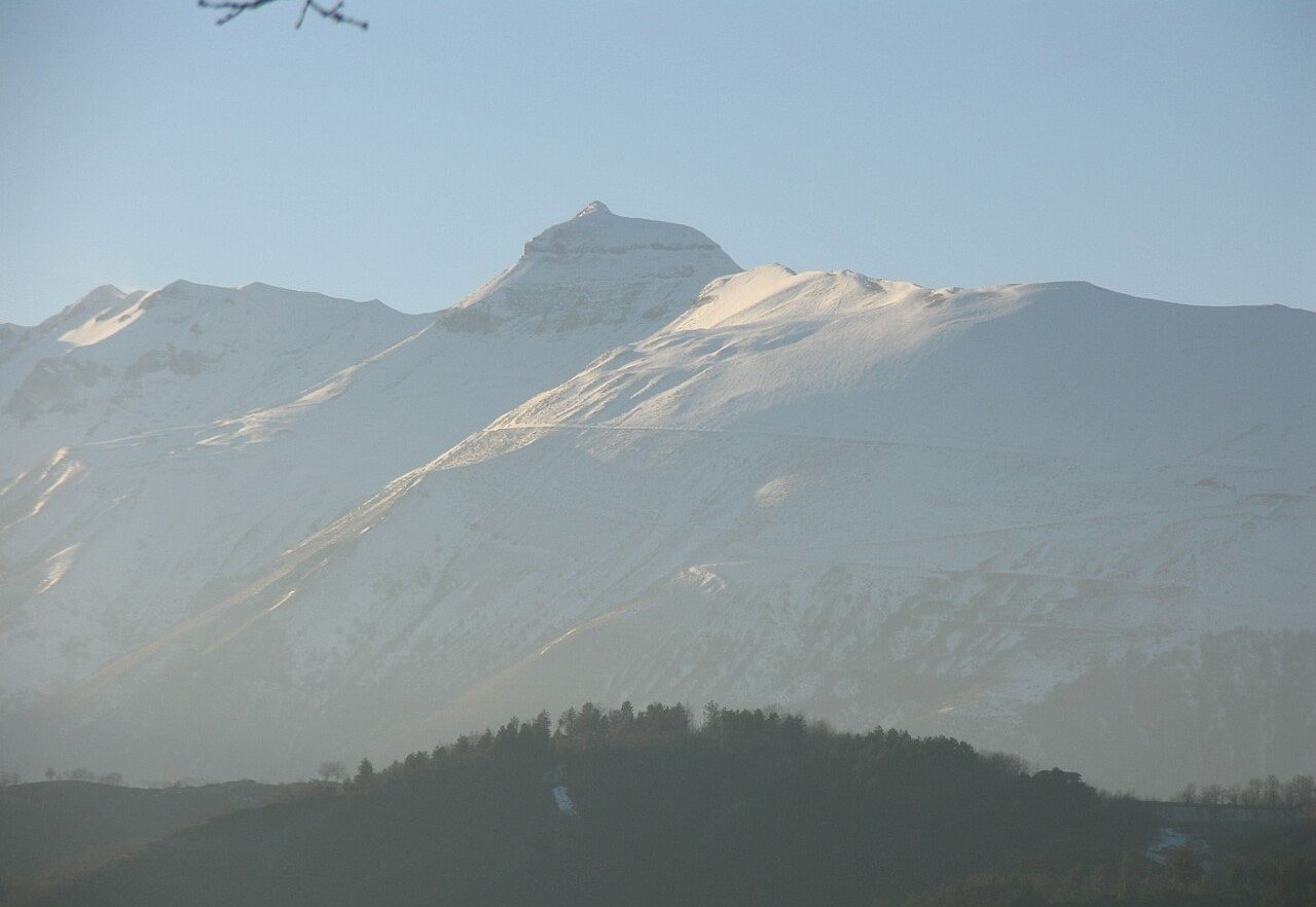
The Monti Sibillini, in the central Apennines, take their name from this mountain, and the mountain takes its name from a legend. Near its summit, at about 2,150 metres, is the Grotta della Sibilla, the Sibyl’s Cave. In medieval legend, it was the entrance to the underground kingdom of the Apennine Sibyl, a prophetess and enchantress who lured knights into her realm.
The story spread across Europe. In the chivalric novel Guerrin Meschino, a wandering knight spends a year inside the cave, searching for his parents. In May 1420, the French writer Antoine de la Sale climbed up on behalf of the Duchess of Burgundy to see it for himself; landslides had already blocked it, and he could map only the entrance. Many scholars believe this legend helped shape the German story of Tannhäuser and the Venusberg.
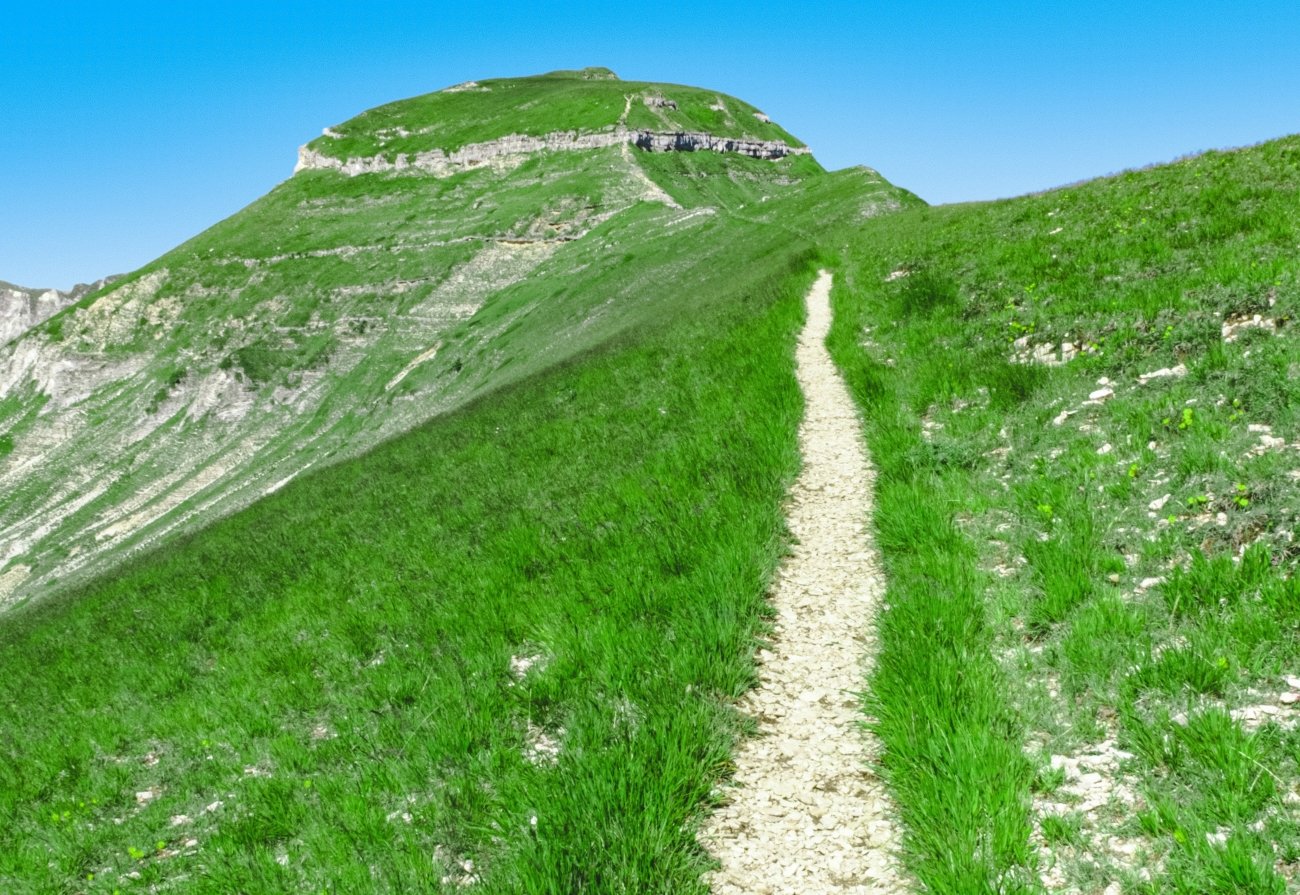
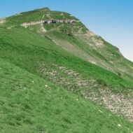
Today, the cave entrance is permanently closed, collapsed after an unwise attempt to widen it with explosives in the 20th century. But the summit still wears a crown of rock, and the ridge walk offers views across the whole range of the Sibillini.
Missing Coordinates Highlights
- The Sibyl’s Cave, entrance to a medieval legend
- The rocky crown of the summit
- Ridge views across the Sibillini National Park
- The villages of Montemonaco and the Ambro valley below
When: summer and autumn. In winter, the ridges above 2,000 metres are for mountaineers with ice axes and crampons. Weather on Monte Sibilla: summers are warm in the valleys but much cooler on the ridge, with frequent afternoon storms in July and August. From late autumn to spring the upper slopes are under snow, and avalanches can fall into the gorges below. Getting there: from Montemonaco, follow the road to the Rifugio Sibilla (1,520 m, closed), then trail 156 to the summit; about 3 hours 15 minutes to 4 hours return. The road is closed to traffic in summer, with a shuttle bus instead. The route has an exposed ridge and a short equipped rock step.
5. Babia Góra, Poland
49.57° N, 19.53° E · Żywiec Beskids, on the Polish–Slovak border · 1,725 m
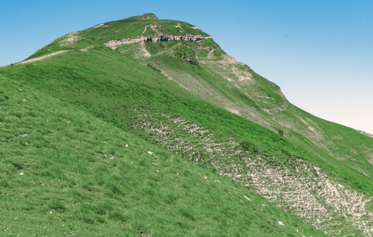
Babia Góra rises above the Beskid hills like a great whale’s back, alone and higher than everything around it. At 1,725 metres, its summit, Diablak, is the highest point of the Polish Beskids, and the mountain is known as the Queen of the Beskids.
Its name means something like “the old woman’s mountain”, and it is full of legends. One tells of a giant woman who poured out stones near her hut. Another explains the summit’s name, Diablak, “the devil’s peak”: the devil promised to build a castle on the top for a farmer in a single night, but the farmer made a rooster crow early, and the devil destroyed his unfinished work in anger.
Babia Góra is also famous for its weather. Poles call it capricious: clear skies can turn to cloud, wind and rain in minutes. It has been a national park since 1955 and a UNESCO Biosphere Reserve since 1977, with forests that change with altitude from beech and fir to dwarf mountain pine.
Missing Coordinates Highlights
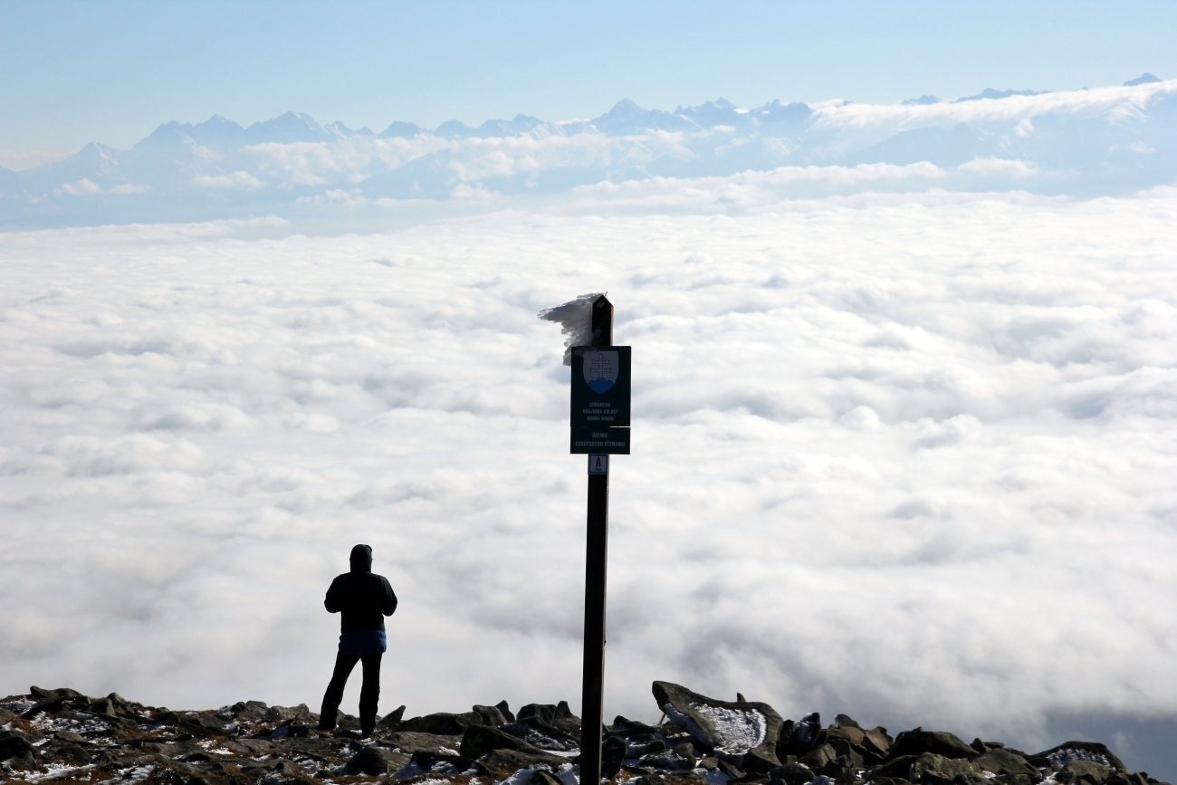
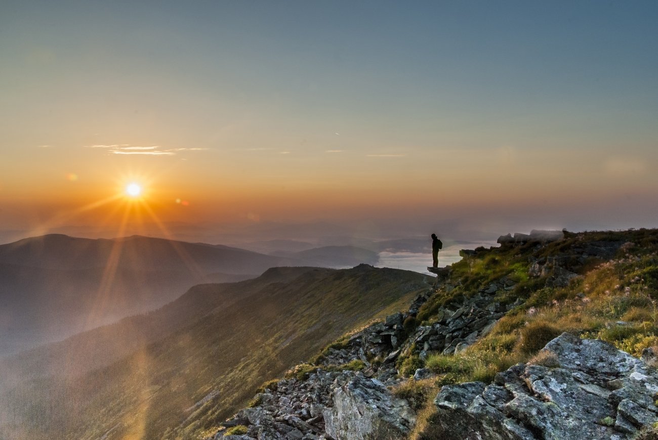
- Sunrise from Diablak, above a sea of clouds
- Legends of the devil, the rooster and the old woman
- The Markowe Szczawiny mountain hostel on the way up
- Forest belts that change with every hundred metres of height
When: late May to October; summer and autumn sunrises are the most famous. Check the weather before you start, and be ready to turn back. Weather on Babia Góra: famously changeable. Clear skies can turn to fog, rain and strong wind in minutes, and the summit is much colder than Zawoja below. Snow can lie on the upper slopes from October to May. Getting there: from Zawoja, follow the green trail to the Markowe Szczawiny hostel, then on to the summit; or take the red trail from the Krowiarki Pass, the shortest and easiest route. Zawoja is about two hours by car from Kraków.
Before you climb
- These are real mountains. Weather changes fast at Babia Góra, on the Sibilla ridge and on the Sella plateau. Carry layers, water and a map.
- Go with a guide on glaciers. On Snæfellsjökull, summit climbs require a certified guide.
- Check seasons and lifts. Cable cars, jeep tracks and shuttle buses run only in summer.
- Start early. Summits are quieter, the light is better, and afternoon storms come later.
Beyond the map
Every famous peak in Europe has a quieter neighbour with a better story. On Piz Boè, a wooden hut sits at 3,152 metres above a lunar plateau. On the Canigou, Catalans carry fire to a summit cross every June. On Snæfellsjökull, the ice that guarded Jules Verne’s underground world is melting away. On Monte Sibilla, the entrance to a sorceress’s kingdom lies sealed under rock. And on Babia Góra, the sun rises over the Beskids from the devil’s peak.
These are not the mountains on the postcards. They are the ones that stay with you.
Read next: Where Europe’s Myths Began · Europe’s Last Pagan Landscapes II · Europe’s Forgotten Mountain Railways
Carry the journey with you: Beyond the Map Field Guides
Hidden Europe — The Beyond the Map Map Every peak in this article, and hundreds more places, on one map of the Europe most travellers never see.
Explore more: Europe’s Missing Coordinates · Wild Europe · Terra Incognita