

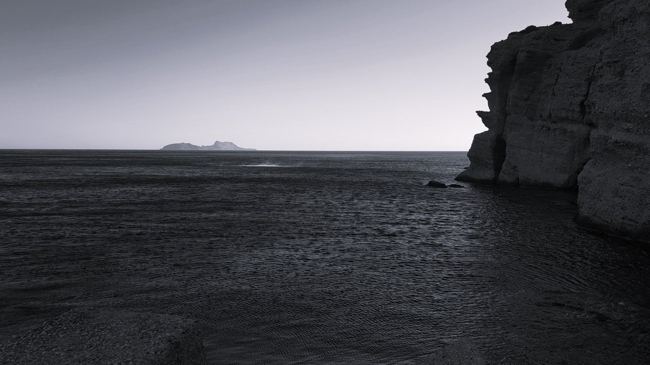
Five southern coasts where the sea still holds summer’s warmth, the light is long and golden, and the crowds have gone home.
By November, most of Europe has turned inward. The clocks have gone back, the first frosts have come to the north, and the beach towns of the Mediterranean are folding their umbrellas. Yet on a few southern edges of the continent the year has not quite let go. The sea is still warmer than the air at dawn, the afternoons reach the high teens or low twenties, and the villages return to the people who live there.
These are not the famous resorts. They are quieter coordinates: an island between Crete and Rhodes, a coast of Crete you can only partly reach by road, a stretch of Andalusia where mangoes grow, a volcanic desert by the sea, and the fishing harbours of Malta’s south. Each is still warm in November, and each is better for the silence.
Bar chart of average November daytime highs and sea temperatures: Karpathos 19° air and 20° sea, Southern Crete 19° and 21°, Costa Tropical 18° and 18°, Cabo de Gata 19° and 19°, Malta 21° and 22°, compared with London at about 11°.
Average November daytime high and sea temperature, °C. Approximate long-term averages individual days vary.
1. Karpathos, Greece
35.50° N, 27.21° E · Dodecanese, between Crete and Rhodes
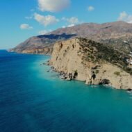
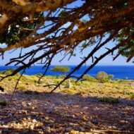
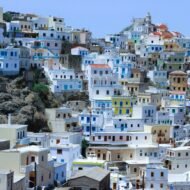
Karpathos is a long, mountainous island in the south-eastern Aegean, far enough from Athens that it was never really part of the mass-tourism map. Its south is gentle, with the small port town of Pigadia and a scatter of sandy bays. Its north is wild: a spine of bare mountains, pine forest and cliffs that drop straight into the sea.
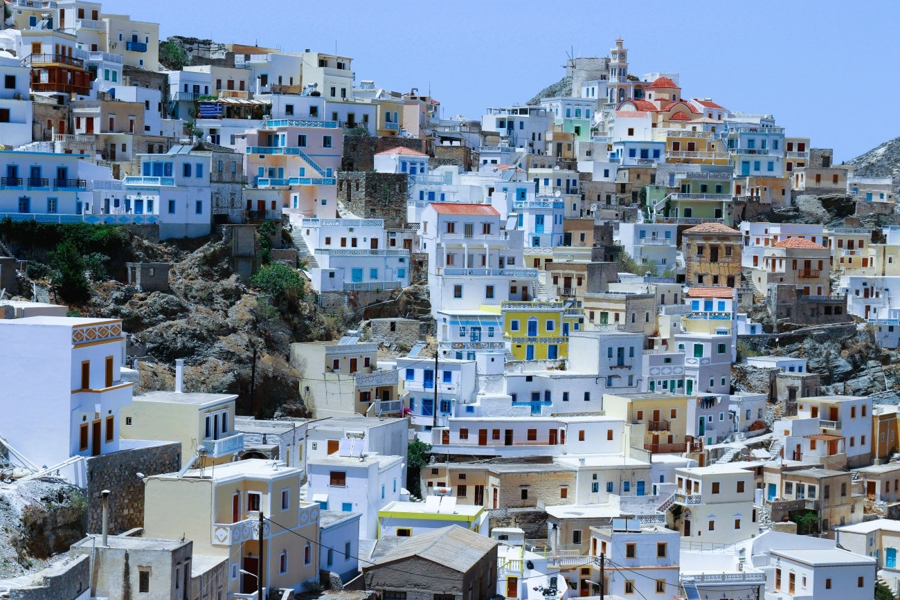
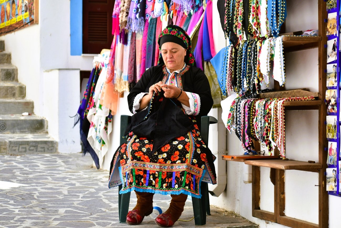
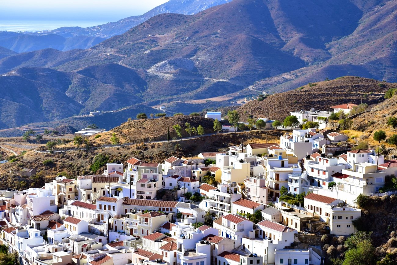
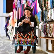
High in that north sits Olympos, one of the most traditional villages in Greece. For centuries it was isolated from the rest of the island, and it kept its own dialect, its own music and its own customs. Older women still wear traditional dress in daily life, and windmills line the ridge above the houses. In November, with the summer visitors gone, Olympos feels less like a sight and more like a village again.
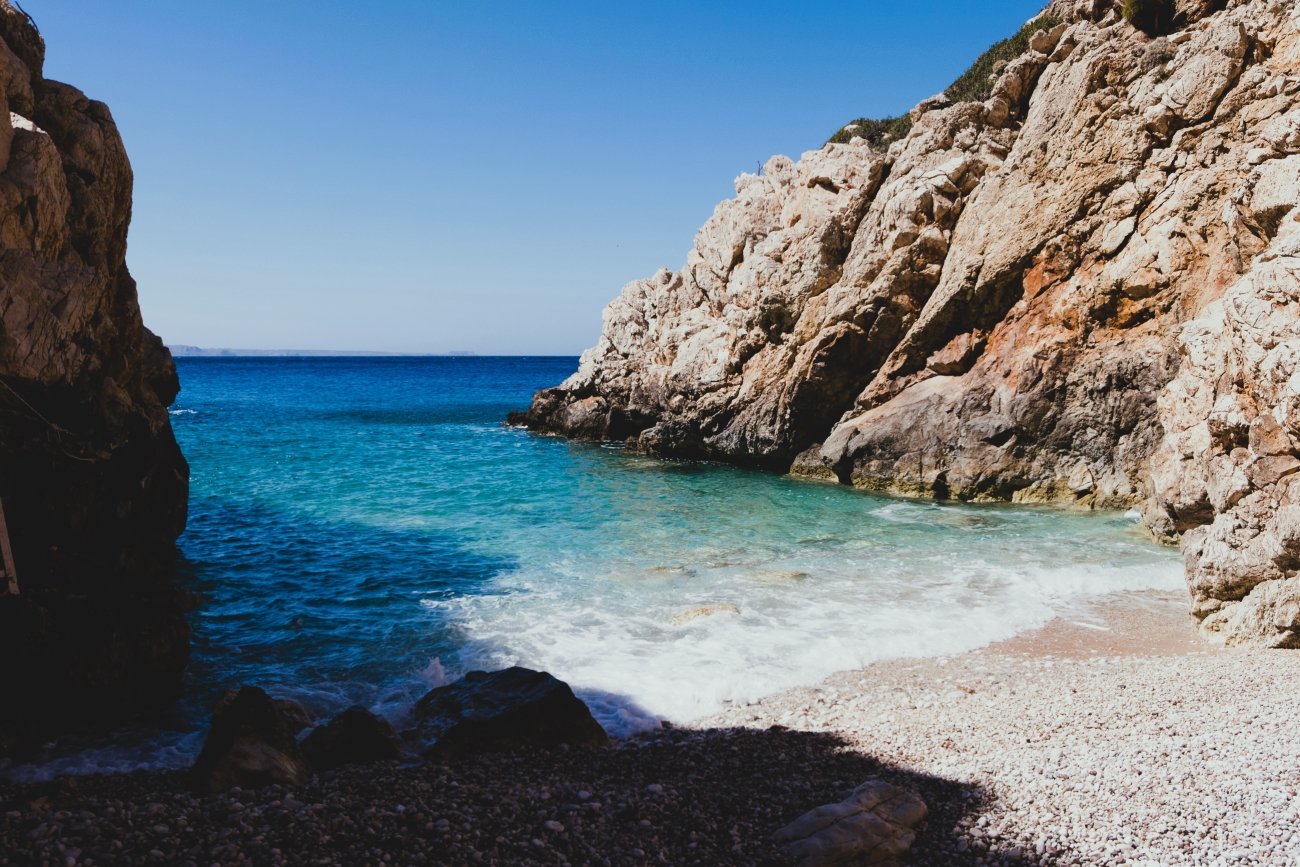
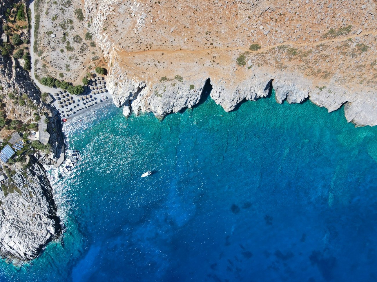
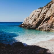
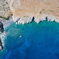
The sea around Karpathos is clear and still warm enough to swim in the middle of the day. The bays of the east coast, such as Apella and Kyra Panagia, are quiet now, and you may have them to yourself. In the far south, near the airport, Diakoftis spreads shallow turquoise water over white sand, sheltered by a small islet.
→ Read more: Olympos: The Hilltop Village at the Edge of the Aegean · Diakoftis Beach: Karpathos’s Pristine Paradise
Missing Coordinates Highlights
- Olympos, a mountain village with its own dialect and living traditions
- Clear, warm water in the east-coast bays and at Diakoftis in the south
- Hiking trails across the island’s northern mountains
- Pigadia’s harbour, open and lived-in all year
When: early to mid November, before the winter winds and the last ferries of the season thin out. Getting there: flights to Karpathos airport from Athens and Rhodes; ferries from Piraeus (a long overnight crossing), Rhodes and Crete.
2. Southern Crete, Greece
35.20° N, 24.08° E · Loutro, Paleochora and Agia Galini, on the Libyan Sea
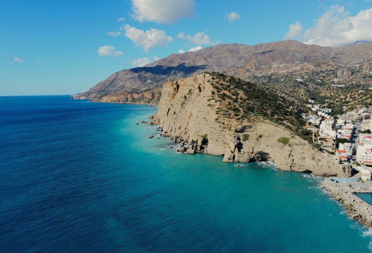
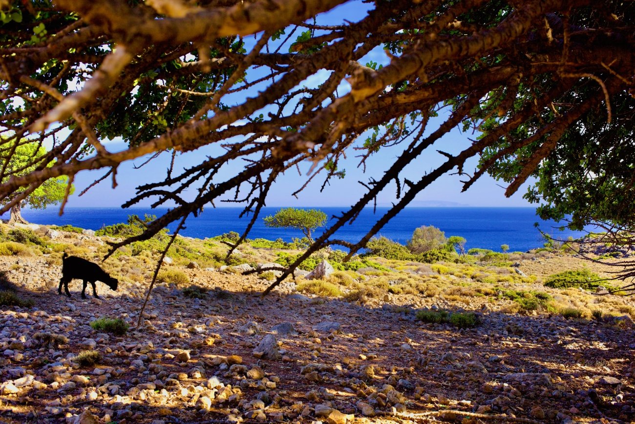
The south coast of Crete faces Africa. Across the Libyan Sea, the next land is the Libyan coast, and the water here stays warm long after the north of the island has cooled. The mountains rise almost straight from the shore, so the villages are small, scattered and often hard to reach.
Loutro is the most remarkable. It has no road. You reach it by boat from Chora Sfakion, or on foot along the coastal path. White houses with blue shutters curve around a small bay of perfectly clear water. In November, only a handful of tavernas and rooms may stay open, but those who make the trip find a village at its quietest.
Further west, Paleochora sits on a narrow peninsula between two bays, one sandy, one of pebbles. Unlike many beach villages, it is a real small town that lives all year, with cafés, a bakery and a weekly rhythm that continues through winter. To the east, Agia Galini climbs a steep hillside above its harbour, a fishing village turned resort that settles back into calm by late autumn.
Missing Coordinates Highlights
- Loutro, a car-free village reached only by boat or on foot
- Paleochora, a year-round town between two bays
- Agia Galini’s harbour and terraces above the Libyan Sea
- Some of the warmest November sea water in Greece
- Coastal paths of the E4 European long-distance trail
When: all of November; accommodation and boat services shrink as the month goes on, so book ahead. Getting there: fly to Chania or Heraklion; buses run to Paleochora and Chora Sfakion from Chania, and to Agia Galini from Heraklion. Loutro is reached by ferry from Chora Sfakion.
3. Costa Tropical, Spain
36.73° N, 3.69° W · Almuñécar, Salobreña and Motril, Granada province
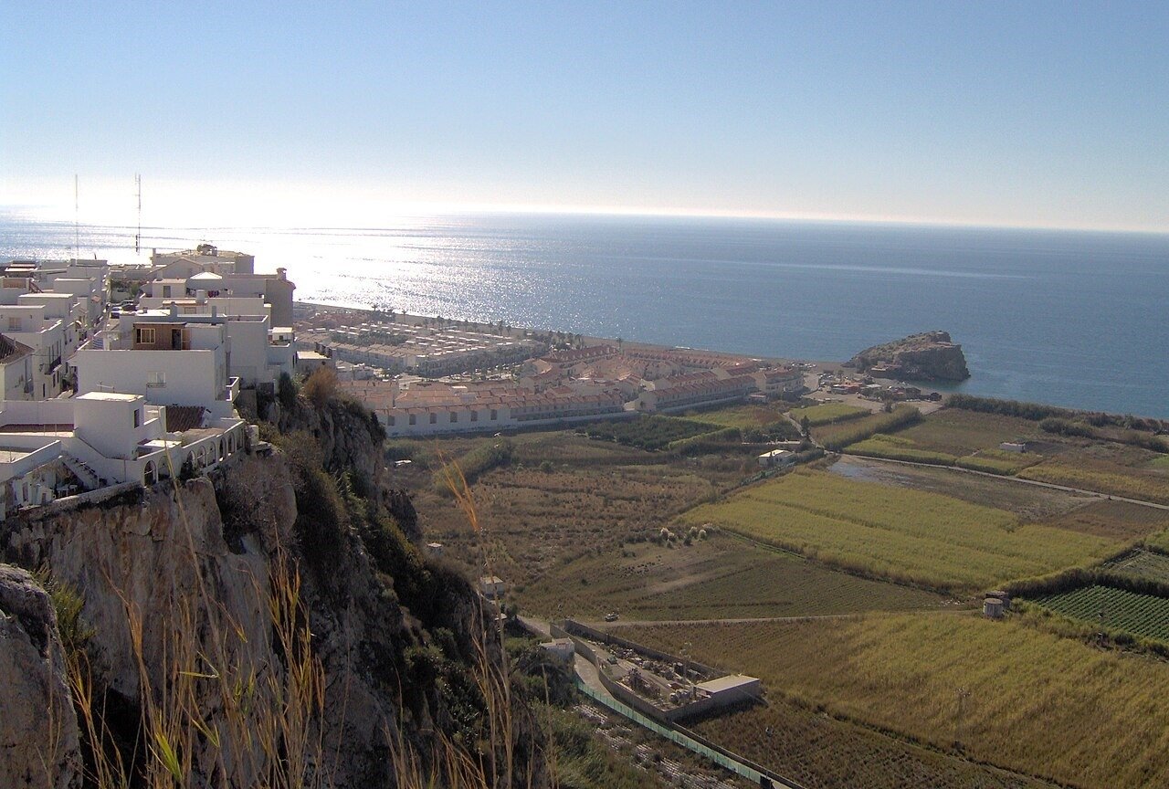
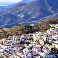
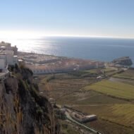
Between Málaga and Almería, the coast of the province of Granada is sheltered by the high wall of the Sierra Nevada. The mountains block the cold northern air, and the result is a climate mild enough for crops that grow almost nowhere else in mainland Europe. On the terraced hillsides above the sea, farmers grow cherimoya (custard apple), avocado and mango. That is why this short stretch of shoreline is called the Costa Tropical.
In November, the cherimoya harvest is under way, and the markets fill with fruit that most Europeans only see in supermarkets far from where it grows. On clear days, you can look up from the beach and see the first snow on the peaks of the Sierra Nevada.
Almuñécar is the oldest town on this coast. The Phoenicians founded a trading post here, called Sexi, and the Romans later built fish-salting works and an aqueduct whose remains still stand. Salobreña is a white village piled on a rock above the sugar-cane plain, crowned by a Moorish castle. Motril, the working town of the coast, was once the centre of Europe’s sugar-cane industry, a story told in its sugar-cane museum.
Missing Coordinates Highlights
- Cherimoya, avocado and mango terraces above the sea
- Salobreña’s white village and Moorish castle
- Phoenician and Roman Almuñécar, with its aqueduct and fish-salting ruins
- Motril’s sugar-cane heritage
- Snow on the Sierra Nevada, seen from a warm beach
When: November is harvest time for cherimoya; the days are mild and bright. Getting there: about 1 hour 15 minutes by car from Málaga airport, and about 1 hour from Granada. Regular buses connect the coast with Málaga and Granada.
4. Cabo de Gata, Spain
36.72° N, 2.19° W · Cabo de Gata-Níjar Natural Park, Almería
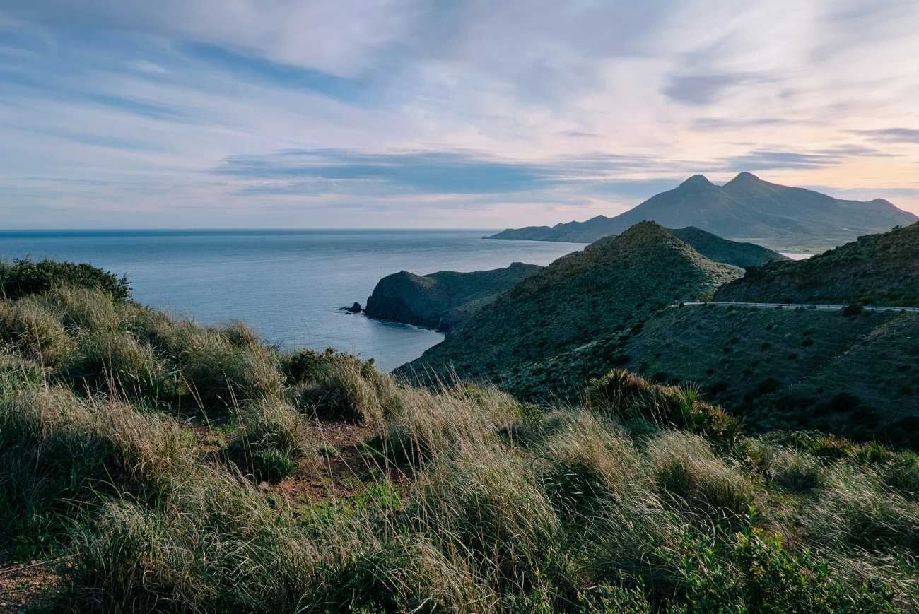
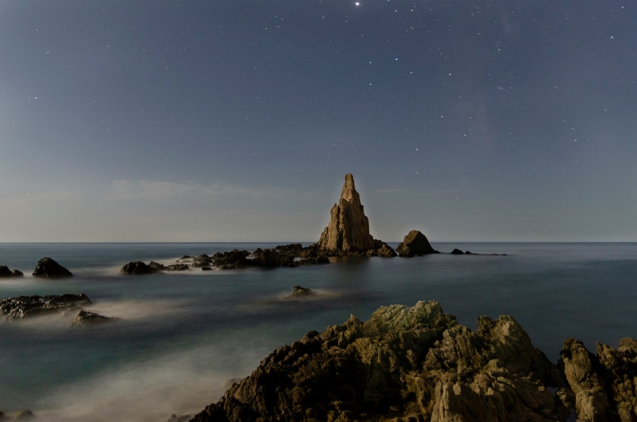
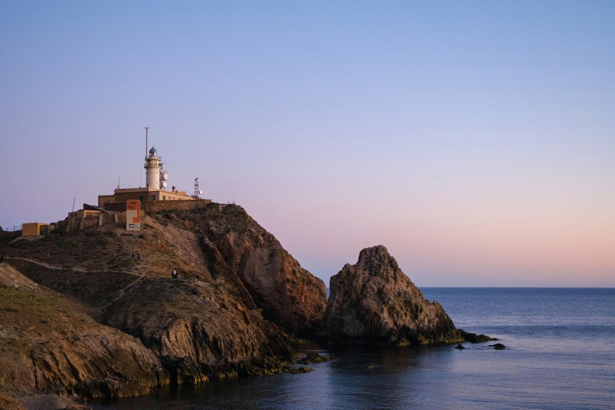
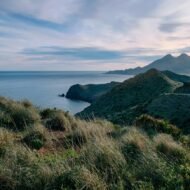
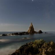
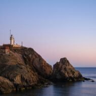
In the far south-east of Spain, the land changes. Cabo de Gata is a coast of old volcanoes, dry hills, dwarf palms and agaves, among the driest landscapes in Europe. Its beaches are some of the last undeveloped stretches of the Spanish Mediterranean: long arcs of sand such as Los Genoveses and Mónsul, reached by dirt tracks and protected inside the natural park.
The park is also a UNESCO Biosphere Reserve and a UNESCO Global Geopark. Near the cape itself, the old salt pans draw flamingos and other water birds, especially in autumn and winter. Inland, the abandoned gold mines of Rodalquilar tell of a short mining boom in the 20th century.
The villages are small and white: San José, Las Negras, Agua Amarga. In November they are almost empty, and the light over the volcanic hills is extraordinary in the late afternoon.
Missing Coordinates Highlights
- Wild, undeveloped beaches inside a protected natural park
- Volcanic landscapes, a UNESCO Global Geopark
- Flamingos on the salt pans near the cape
- The abandoned gold-mining village of Rodalquilar
- Quiet white villages and coastal walks
When: November is ideal for walking: warm, dry and calm, without the summer heat. Getting there: Almería airport is about 40 minutes by car from San José. A car is the easiest way to explore the park.
5. Malta’s South Coast
35.84° N, 14.54° E · Marsaxlokk, Wied iż-Żurrieq and the temple coast
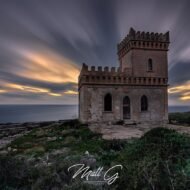
Malta lies further south than Tunis, and in November it is one of the warmest corners of Europe. Most visitors stay in the north, around Sliema and St Julian’s. The south is different: fishing harbours, limestone cliffs, prehistoric temples and a slower pace.
Marsaxlokk is Malta’s great fishing village. Its harbour is filled with luzzu boats, painted blue, yellow and red, with the Eye of Osiris on their bows. On Sunday mornings, the waterfront fish market brings in the catch.
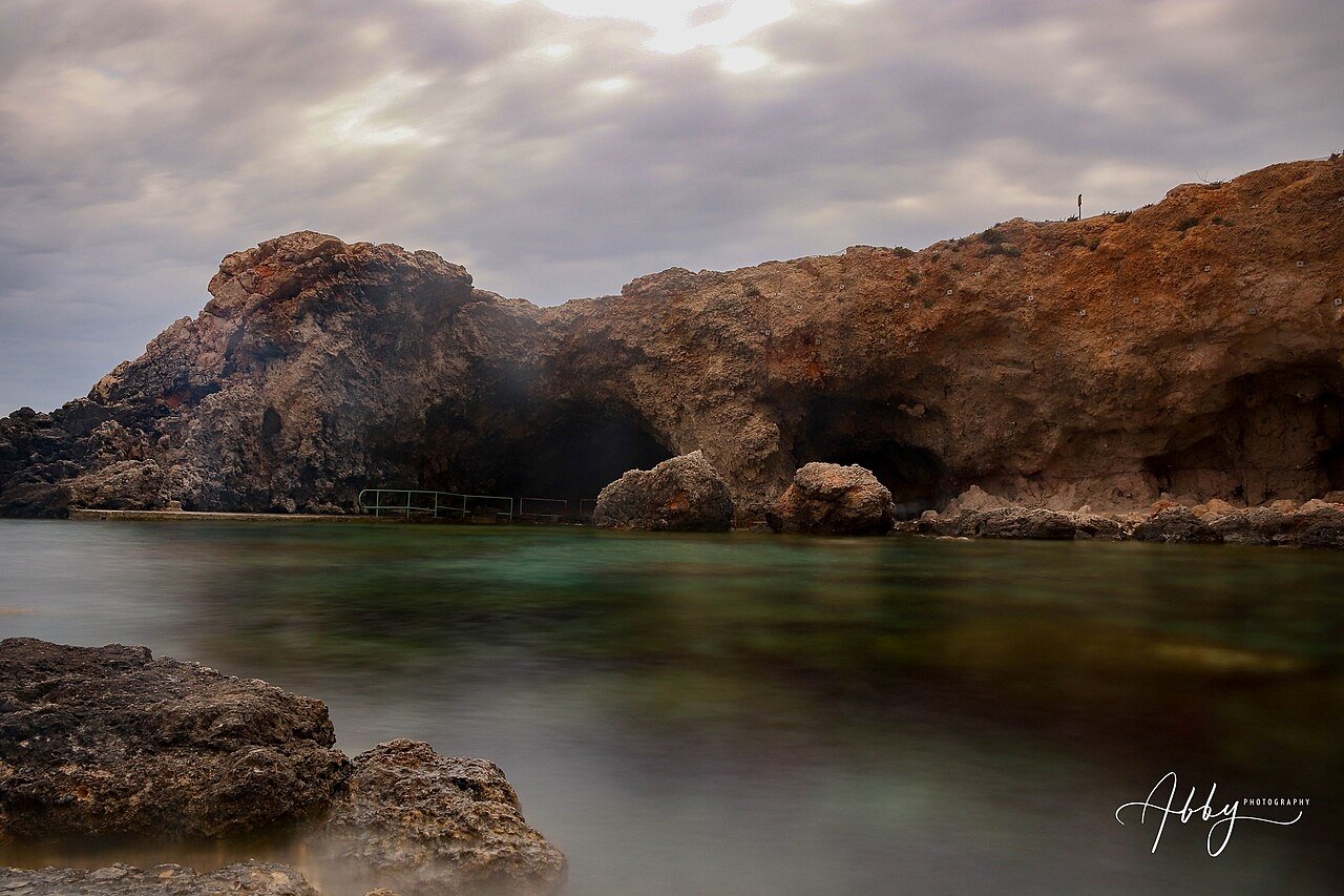
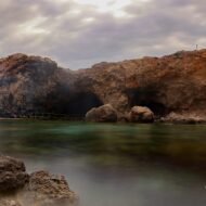
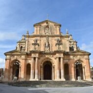
West along the coast, the cliffs of Wied iż-Żurrieq shelter small boats that take visitors into the Blue Grotto, sea caves where the water glows deep blue in the morning light, when the sea is calm. Nearby, on a headland above the sea, stand Ħaġar Qim and Mnajdra, megalithic temples older than the pyramids of Egypt and part of a UNESCO World Heritage Site.
Missing Coordinates Highlights
- Marsaxlokk’s painted luzzu boats and Sunday fish market
- Boat trips into the Blue Grotto (weather permitting)
- The megalithic temples of Ħaġar Qim and Mnajdra
- Swimming at St Peter’s Pool, a natural rock pool near Delimara
- The warmest sea temperatures in this list
When: all of November; boat trips depend on the sea, so keep a spare day. Getting there: Malta International Airport is in the south of the island, about 15 minutes from Marsaxlokk. Ferries also connect Malta with Pozzallo in Sicily.
Beyond the map
November is the month when Europe decides it is winter. But at its southern edges, the decision comes late. In Karpathos, an old village keeps its language and its rhythm. On the south coast of Crete, the sea stays warm and the boats still run to a village without a road. On the Costa Tropical, mangoes and cherimoyas ripen below the first snow of the Sierra Nevada. At Cabo de Gata, flamingos settle on the salt pans of a volcanic coast. And in Malta’s south, the fishing boats come home to Marsaxlokk as they have for centuries.
These are the missing coordinates of the European autumn: warm, quiet and still lived in, after everyone else has left.
Explore more: Europe’s Missing Coordinates · November Festivals in Europe