

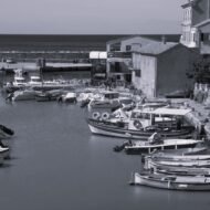
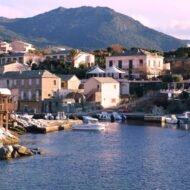
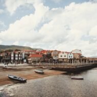
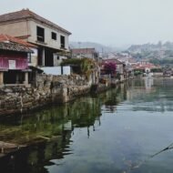
Five harbour towns where the boats still come home in the afternoon, the catch still decides the menu, and the sea still sets the rhythm of the day.
Europe’s coasts are lined with harbours that have become backdrops: marinas full of yachts, fishermen’s houses turned into holiday rentals, nets hung on walls for decoration. But in a few places, the harbour is still the reason the town exists. Trawlers return at four in the afternoon and the auction starts within the hour. The fish market opens before dawn. The village was built by and for the sea, and it has never quite forgotten it.
These five harbours stretch from the North Sea to the Mediterranean: a Scottish fishing village with a saint’s cave, a Danish town that once sailed the oceans in wooden ships, the busiest small fishing port in France, a Galician village of granaries on the shore, and a lobster port at the tip of Corsica.
- Pittenweem, Scotland: the working heart of the East Neuk of Fife
- Marstal, Denmark: the island town of sailors and shipbuilders
- Le Guilvinec, France: where Brittany’s trawlers come home
- Combarro, Spain: granaries and stone crosses on the Galician shore
- Centuri, Corsica: the lobster port of Cap Corse
1. Pittenweem, Scotland
56.21° N, 2.73° W · East Neuk of Fife
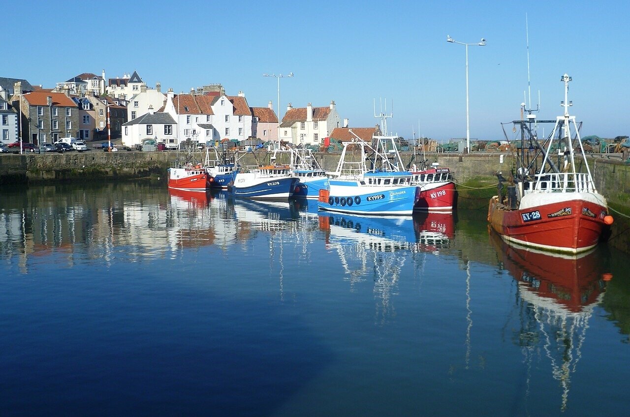
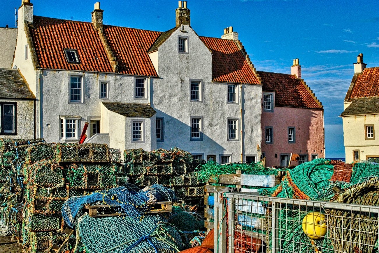
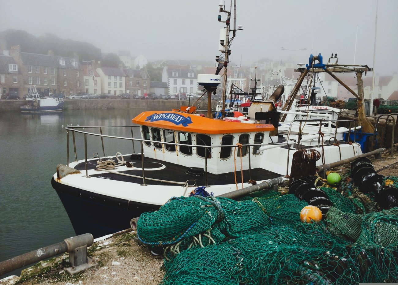
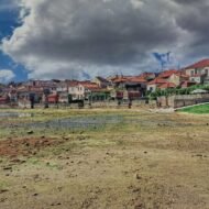
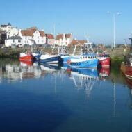
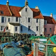
Along the coast of Fife, east of Edinburgh, a string of small fishing villages known as the East Neuk faces the North Sea: Elie, St Monans, Pittenweem, Anstruther and Crail. They are all beautiful, with red pantiled roofs and stone harbours. But Pittenweem is the one where fishing has held on most firmly. It is now the most active fishing port on this coast, and each morning the fish market in the harbour sheds still sells the catch.
The name means “place of the cave”, and the cave is still here. In Cove Wynd, a narrow lane above the harbour, is St Fillan’s Cave, where the missionary St Fillan is said to have lived and prayed in the 8th century. It was rededicated in the 1930s, and services are still held inside. Above the town, parts of the parish church date back to the medieval priory founded by Augustinian monks from the Isle of May.
In early August, the village opens its doors for the Pittenweem Arts Festival, when houses, garages and church halls become galleries.
Missing Coordinates Highlights
- The morning fish market in the harbour sheds
- St Fillan’s Cave, a hermit’s chapel in a harbour lane
- The Pittenweem Arts Festival in early August
- Walking the Fife Coastal Path to St Monans or Anstruther, each about 40 minutes away
When: May to September for long evenings and the coastal path; early August for the Arts Festival. Getting there: about two hours by bus from Edinburgh. St Andrews is a short drive to the north-east.
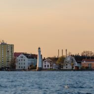
2. Marstal, Denmark
54.85° N, 10.52° E · Ærø, South Funen Archipelago
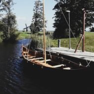
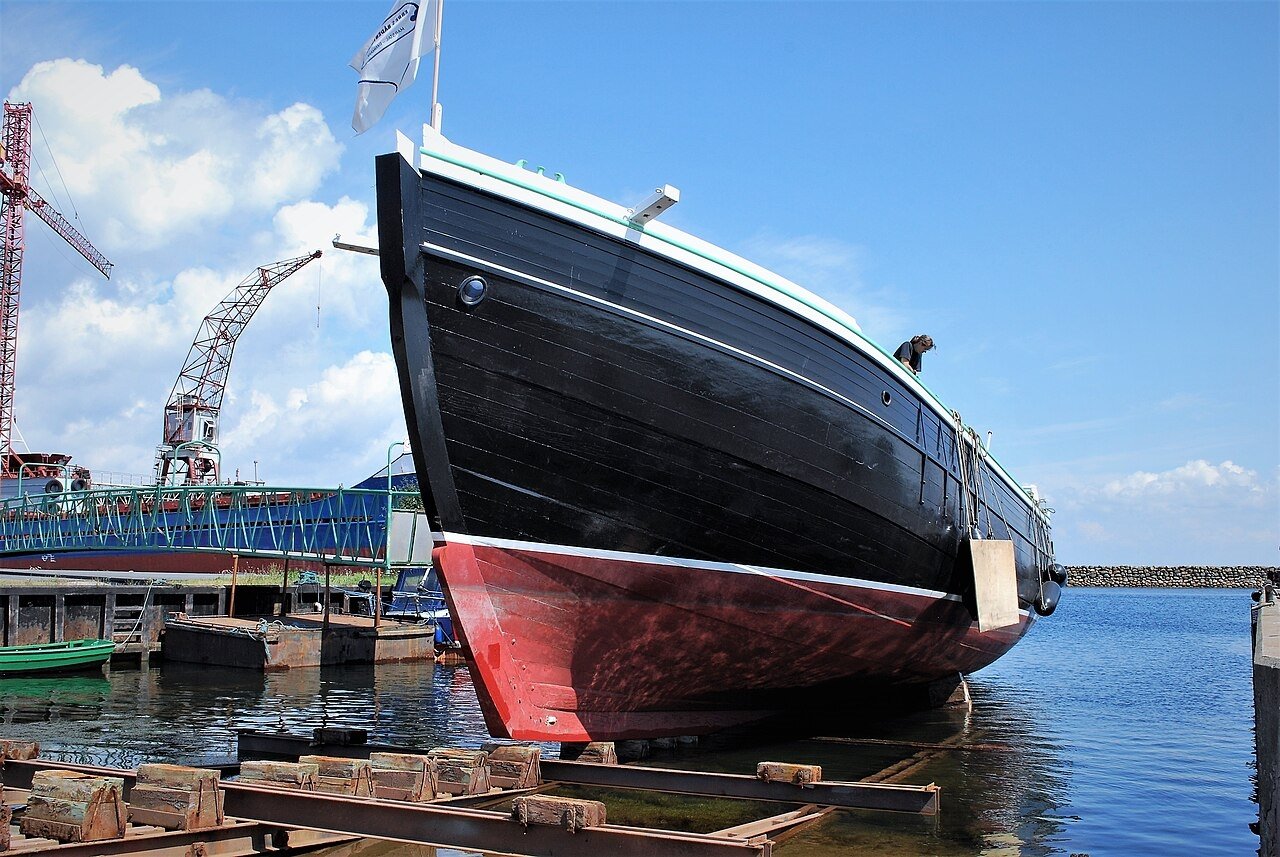
On the small island of Ærø, in the South Funen Archipelago, the town of Marstal was built on the sea, not on fishing but on sailing. From the 17th century, its people built and sailed wooden ships, and Marstal schooners carried cargo across the Baltic, the North Sea and far beyond. The town grew around its harbour, its shipyards and its families of sailors, many of whom never came home.
That story became one of the great Danish novels of recent years: Carsten Jensen’s We, the Drowned (2006), an epic of Marstal’s seafaring families over a century. On a small island off the harbour stands a long pier of fieldstones, built in 1825 by local seamen as volunteers.
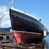
Marstal is still a maritime town. It has shipyards, shipping companies and a maritime school that has trained navigators for the Danish merchant fleet for more than a century. Its Maritime Museum is filled with ship models, sailors’ paintings and objects brought home from distant ports.
Missing Coordinates Highlights
- The Marstal Maritime Museum and its collection of ship models
- The 1825 fieldstone pier, built by the town’s sailors
- The working shipyards and wooden boats in the harbour
- Ærøskøbing, one of Denmark’s best-preserved small towns, nearby
- Reading We, the Drowned before you go
When: May to September for the island’s beaches, cycle routes and ferries; autumn for empty roads and harbour light. Getting there: by ferry from Svendborg on Funen to Ærøskøbing, then about 20 minutes by road to Marstal. A ferry also links Fåborg with Søby in the north of the island.
3. Le Guilvinec, France
47.80° N, 4.28° W · Pays Bigouden, Finistère, Brittany
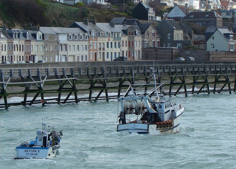
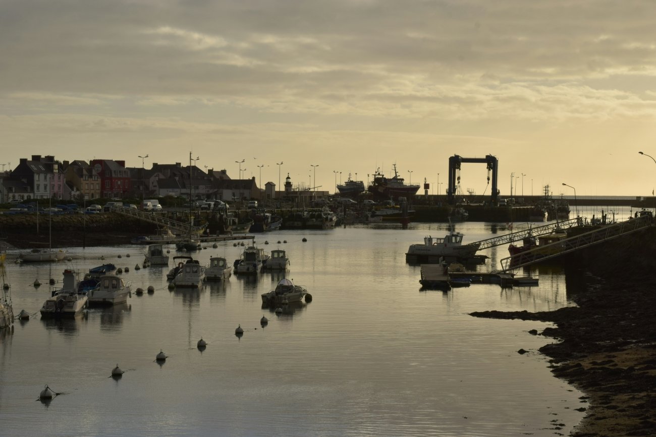
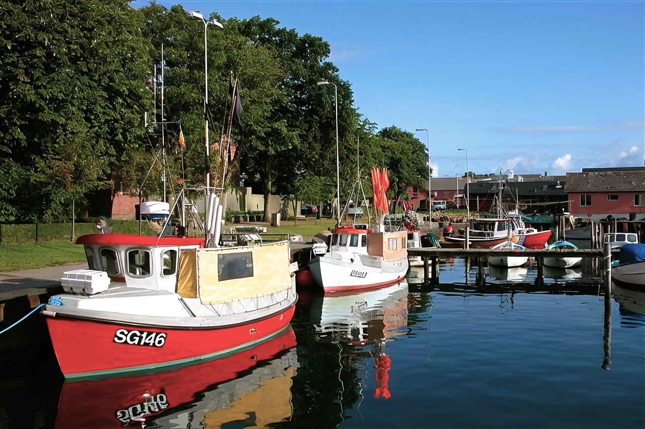
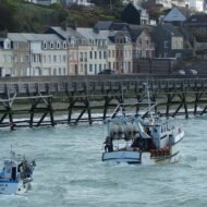
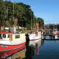
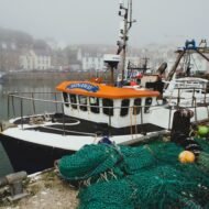
In the far south-west of Brittany, in the Pays Bigouden, the town of Le Guilvinec is entirely given over to the sea. It calls itself France’s leading small-scale fishing port, and at four in the afternoon, you see why. The trawlers return one after another, rounding the harbour wall in a procession that lasts about an hour, followed by gulls. Within minutes, the catch is landed and sold at the auction.
Le Guilvinec is famous for its langoustines, known locally as demoiselles, best eaten from May to October. In the town, fishmongers sell them live and will cook them for you.
The best place to watch the boats come in is the roof terrace of Haliotika, the Cité de la Pêche, next to the auction hall. Its exhibitions explain the life of Breton fishermen, and it runs guided tours of the auction itself.
Missing Coordinates Highlights
- The return of the trawlers at around 4 pm
- Haliotika’s terrace and guided tours of the fish auction
- Live langoustines, the demoiselles of Guilvinec
- The wild coast of the Pays Bigouden, from Penmarc’h to Pointe de la Torche
When: all year, as long as the boats are fishing; May to October for langoustines. Getting there: about 30 kilometres south-west of Quimper, which has direct trains from Paris.
4. Combarro, Spain
42.43° N, 8.71° W · Poio, Ría de Pontevedra, Galicia
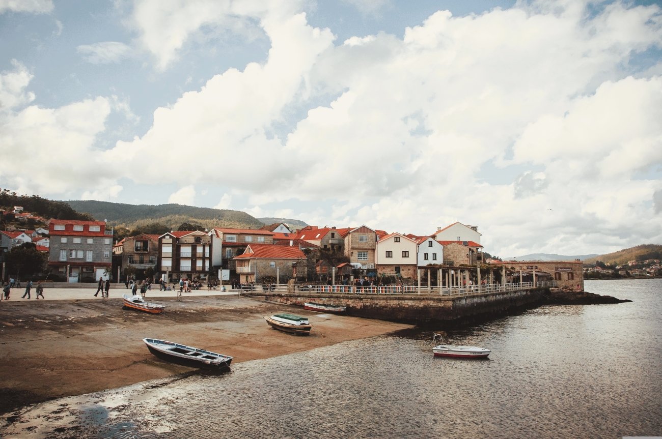
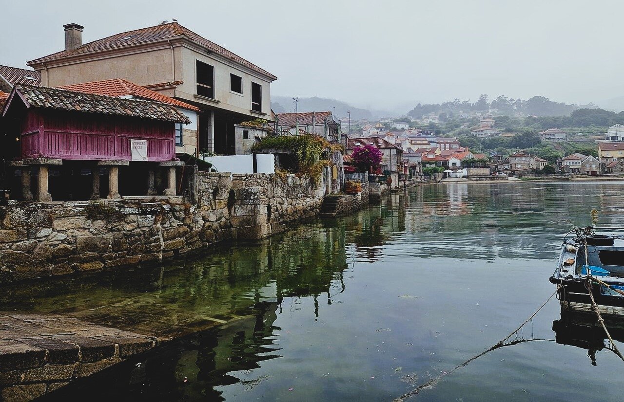
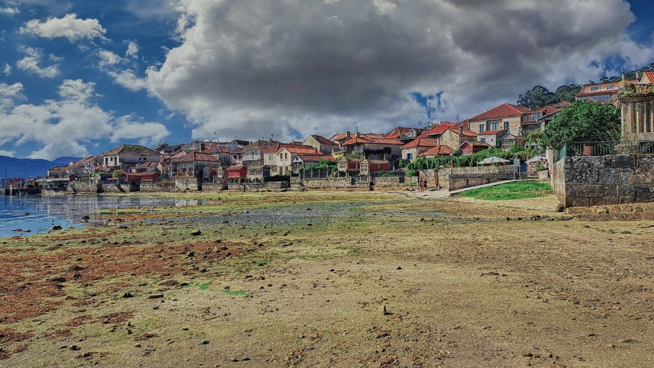
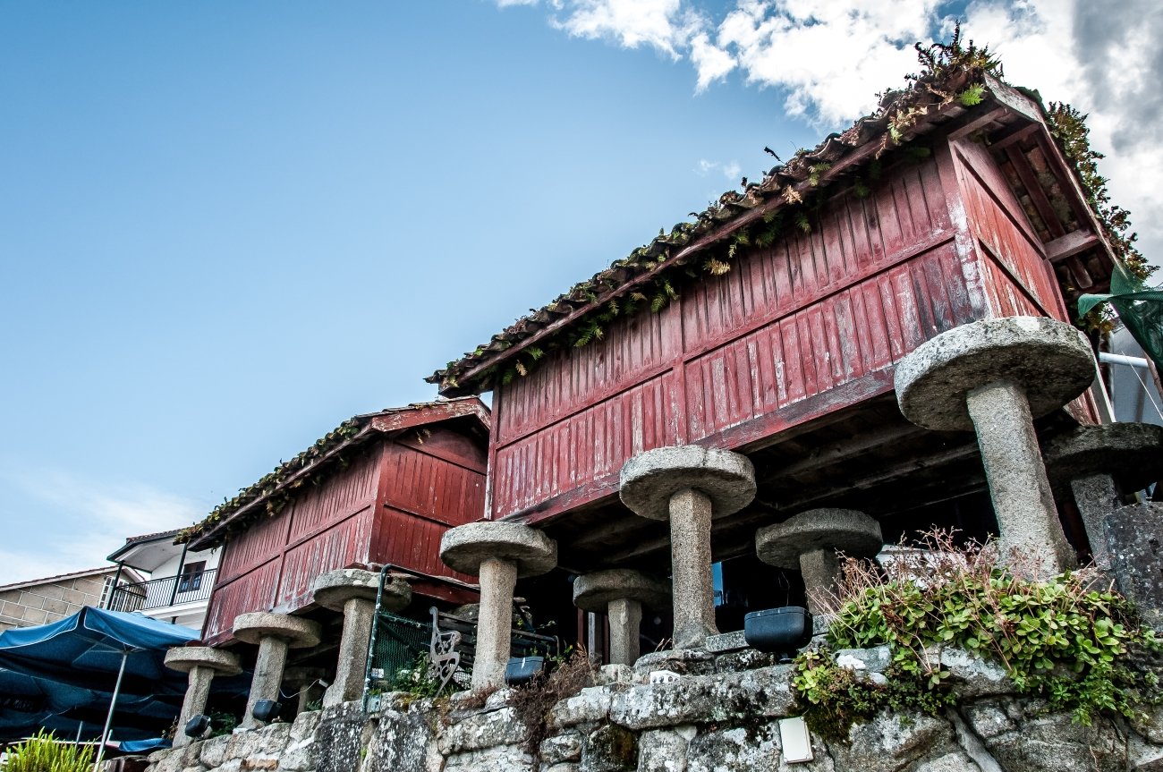
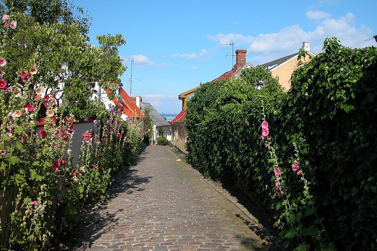
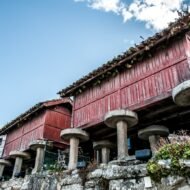
On the shore of the Ría de Pontevedra, the village of Combarro stands with its feet in the water. Along the edge of the estuary, more than thirty hórreos, the stone granaries of Galicia, stand raised on pillars, so close to the sea that the tide reaches their feet. In the past, the people of Combarro were both farmers and fishermen: they stored their maize in the hórreos and pulled their boats up on the shore below them.
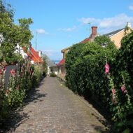
The village is built on granite, and the granite is everywhere: in the narrow lanes, the balconies, the granaries and the seven cruceiros, the carved stone crosses that stand at its corners. On all but one of them, the figure of the Virgin faces the sea, and Christ faces the land.
Nets, creels and small boats still line the shore. In summer, Combarro fills with day visitors; in late autumn and winter, it returns to the people who live there, and its taverns serve octopus, mussels and Albariño wine from the hills around the ría.
Missing Coordinates Highlights
- The line of hórreos along the shore of the ría
- Seven stone cruceiros, and the Virgin facing the sea
- Granite lanes, balconies and fishermen’s houses
- The Monastery of San Xoán de Poio nearby, with Galicia’s largest hórreo, standing on 51 legs
When: late spring and autumn for quiet lanes and soft light; avoid midday in August. Getting there: a few kilometres from Pontevedra. The nearest airports are Vigo and Santiago de Compostela.
5. Centuri, Corsica
42.96° N, 9.35° E · Cap Corse, Haute-Corse
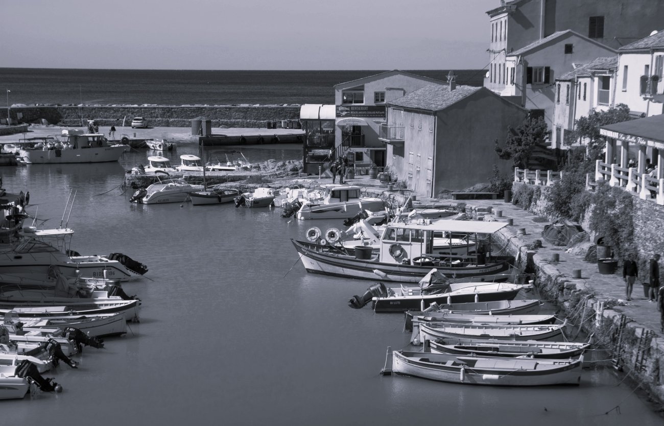
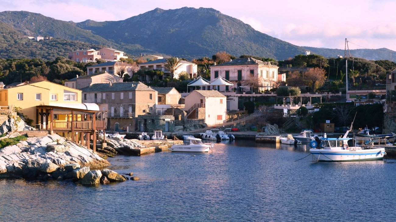
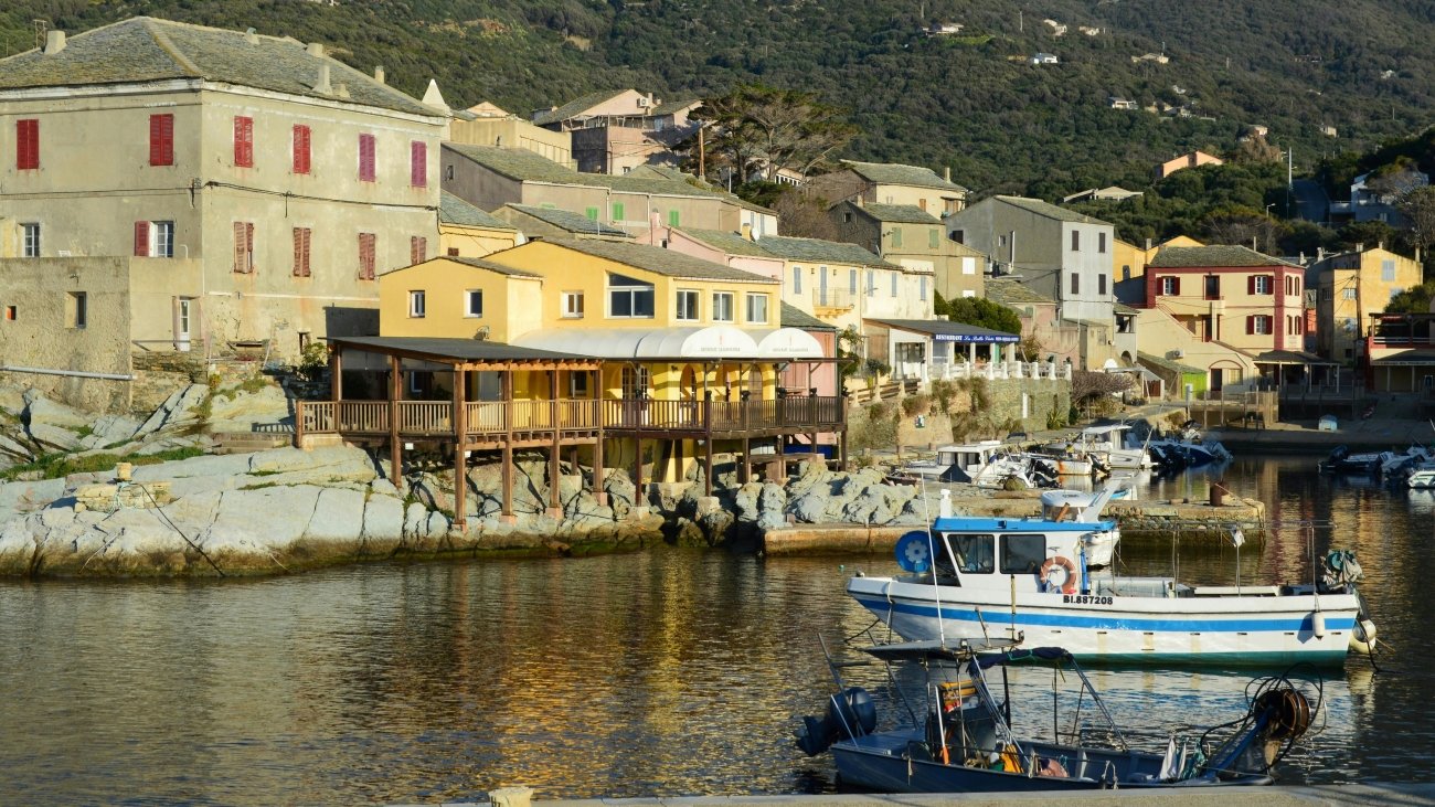
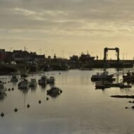
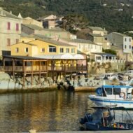
At the northern tip of Corsica, the long finger of Cap Corse points towards the Italian coast. On its western side, at the end of a winding road above the sea, lies Centuri, a small harbour of colourful boats and stone houses, guarded by a 16th-century Genoese tower.
Centuri is the lobster port of Corsica. The spiny lobster, langouste, is caught by the village’s fishermen and served in the harbour restaurants, grilled simply with herbs or cooked with pasta. The menu follows the day’s catch: if there is no lobster, the sea was not kind that day.
At dawn, the boats unload in the harbour; at dusk, the village comes out for its evening walk. Above it, a short path climbs to the Moulin Mattei windmill, with sunsets over the whole of Cap Corse.
Missing Coordinates Highlights
- Spiny lobster in the harbour restaurants
- The 16th-century Genoese tower
- The walk to the Moulin Mattei at sunset
- The wild beaches of Cap Corse, from Cannelle to Barcaggio
When: May to October; June and September for the best balance of warm sea and quiet roads. Getting there: about 1 hour 30 minutes by car from Bastia airport, on the winding coastal roads of Cap Corse. Fill up with fuel before you leave.
→ Read more: Centuri: Corsica’s Forgotten Lobster Port
Beyond the map
Every harbour has a moment when the whole town turns towards the sea. In Pittenweem, it is the morning market in the sheds. In Le Guilvinec, it is four in the afternoon, when the trawlers round the harbour wall. In Combarro, it is high tide under the granaries. In Centuri, it is dawn, when the lobster boats come in. And in Marstal, it is a quieter moment, by a stone pier built by sailors, in a town that sent its sons across every ocean.
These harbours are not museums. They still work, and they still depend on the sea. Arrive at the right hour, and you will see Europe as it has looked for centuries: boats coming home, and a town waiting for them.
Read next: Karlskrona: Sweden’s Baroque Naval City · Salme: Before the Vikings
Carry the journey with you: Beyond the Map Field Guides
Hidden Europe — The Beyond the Map Map Every harbour in this article, and hundreds more places, on one map of the Europe most travellers never see.
Explore more: Europe’s Missing Coordinates · Living Traditions · Terra Incognita