The Cold War in the Balkans was not one conflict but several, running in parallel at different temperatures. Greece fought the first Cold War proxy war — the Greek Civil War of 1946–1949 — before Korea, before the doctrine that would bear Truman’s name had even been articulated. Albania sealed itself so completely that it built 173,000 concrete bunkers and redirected 500,000 tonnes of concrete annually into defence infrastructure while 70% of urban residents lacked adequate housing. Tito built a nuclear shelter beneath a Bosnian mountain so secret that only 16 people knew of its existence during its 26 years of construction, and Tito himself never used it. Romania tunnelled beneath the Carpathians. Yugoslavia carved an island out of Adriatic civilian use for 40 years.
- 1. ARK D-0, Konjic, Bosnia-Herzegovina — Tito’s Nuclear Bunker
- 2. Bunk’Art, Tirana, Albania — The Bunker State’s Two Museums
- 3. Buzludzha, Bulgaria — The Monument That Nobody Paid For Willingly
- 4. Vis Island, Croatia — The Adriatic’s Sealed Military Island
- 5. Fort Roupel, Serres, Greece — Three Wars in the Same Tunnels
- What the Paid Guide Contains
What remains is not ruin in the conventional sense. These are installations of extraordinary engineering ambition, most now accessible to visitors — some converted to museums, some walkable freely, one hosting the world’s only art biennale inside a nuclear bunker. The historical layer is dense, and almost none of it appears in English travel writing about the region.
Five sites. Five stories. The Cold War the guidebooks left underground.
1. ARK D-0, Konjic, Bosnia-Herzegovina — Tito’s Nuclear Bunker
GPS: 43.634°N, 17.995°E — Elevation: 860 m — Construction: 1953–1979
The bunker took 26 years to build. During those 26 years, only 16 people knew it existed.
Construction began in 1953 — eight years after the Second World War ended, two years after Yugoslavia’s formal break with Moscow — on a hillside above the Neretva river outside the town of Konjic. The workers who built it were transported to the site blindfolded. Materials were delivered at night. The facility was designated ARK D-0: Armijska Ratna Komanda, Army War Command. It was designed to shelter Josip Broz Tito, the Yugoslav head of state, alongside approximately 350 senior government and military officials, for six months following a nuclear strike, against a blast yield of 20 kilotons — equivalent to the Hiroshima bomb. The construction cost, calculated in 1979 values, was approximately $4.6 billion.
Tito died on 4 May 1980. He never used it.
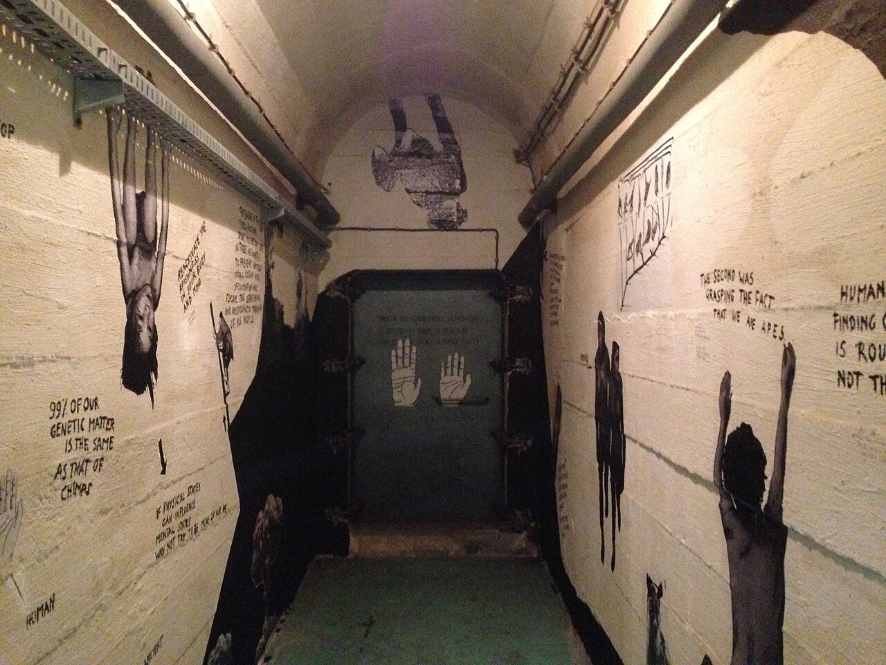
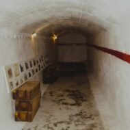
The bunker descends five storeys into the mountain through 3.5 km of tunnels. It contains 100 rooms: a conference chamber built to the dimensions of the Federal Assembly in Belgrade, a communications centre, dormitories, a medical suite, an operating room, air filtration and decontamination chambers, independent water and power systems, and a president’s apartment. The sleeping rooms are numbered. The emergency exits run to the riverbank.
When Yugoslavia began to dissolve in early 1992, a Yugoslav People’s Army general issued an order to destroy the facility rather than surrender it. Two soldiers, tasked with carrying out the demolition, broke the detonation wires and surrendered the bunker intact to Bosnian authorities. Their names are documented; the act appears in almost no English account of the war.
Since 2011, ARK D-0 has hosted the D-0 ARK Underground Biennial — recognised as a Cultural Event of Europe by the Council of Europe — leaving a permanent collection of works by 44 international artists installed throughout the bunker’s tunnels and chambers. Abstract paintings hang in decontamination rooms. Video installations run in the communications centre. The conference table at which Yugoslavia’s apocalypse was to have been managed is now surrounded by contemporary art.
Access: Tours depart Tue–Sun at 09:00, 12:00, and 15:00. Advance booking mandatory (minimum 12 hours); €21 per person, cash only. Tickets collected at a designated point in Konjic town before transfer to the site. Konjic is approximately 60 km southwest of Sarajevo, reachable by bus (approximately 1.5 hours from Sarajevo bus station). The facility is 4 km from Konjic town centre; transfer is organised through the tour booking.
→ Bosnia and the wider Balkans route: Overland & Campervan in the Balkans — The Beyond the Map Road Guide
2. Bunk’Art, Tirana, Albania — The Bunker State’s Two Museums
Bunk’Art 1 GPS: 41.352°N, 19.803°E | Bunk’Art 2 GPS: 41.327°N, 19.820°E — Two sites, one city
Between 1967 and 1986, the Albanian state under Enver Hoxha built approximately 173,000 military bunkers across the country — one for every 17 inhabitants, distributed across every field, hillside, and urban street corner in Albania. The programme consumed 500,000 tonnes of concrete annually. During this same period, 70% of Albanian urban residents lacked adequate housing. The bunkers were built on the theory that any Albanian, at any moment, would be ready to defend the motherland from invasion — an invasion that did not come. The concrete mushrooms became one of the defining visual facts of the Albanian landscape and remain so today.
The command infrastructure behind the bunker state is in Tirana, in two museums that are among the most significant Cold War sites in Europe and are almost entirely absent from standard travel writing.
Bunk’Art 1 is a five-storey, 106-room bunker beneath the Dajti mountain, 6.2 km from the city centre, built from 1972 to 1978 under the codename Objekti Shtylla. It was designed to shelter Hoxha and the Albanian Party of Labour leadership. One of its 106 rooms is the preserved apartment of Mehmet Shehu — the Albanian Prime Minister who died in December 1981, officially by suicide, in circumstances that suggest Hoxha had him killed as a suspected foreign agent. Shehu’s apartment in the bunker — the space he occupied in the hierarchy’s underground city — is accessible. The question of what actually happened to him is not resolved. The bunker opened to the public in 2014 and now also functions as a gallery and performance space.
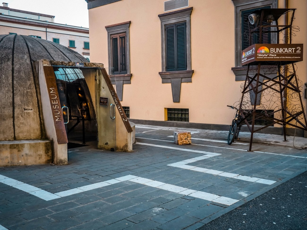
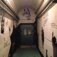
Bunk’Art 2 is smaller and more precise in its historical focus: a 24-room bunker beneath the Ministry of Interior, built 1981–1986, five minutes’ walk from Skanderbeg Square. It is dedicated to documenting the operations of the Sigurimi — the Albanian secret police — and to the victims of communist-era political persecution. A reconstructed Sigurimi interrogation room is accessible. A wall displays the names of approximately 5,500 individuals executed for political reasons between 1945 and 1991. The archive material on display — surveillance files, arrest records, execution orders — represents a reckoning with state terror that is unusual in its directness and is almost completely unknown outside Albania.
Access — Bunk’Art 1: Bus L11 from central Tirana (40 lek); 40-minute journey. Open daily 09:30–17:30 (summer hours; check for winter variation). Entry 900 lek (approximately €9). Photography permitted throughout.
Access — Bunk’Art 2: 5-minute walk from Skanderbeg Square. Open daily 09:00–19:00. Entry 500 lek (approximately €5). Photography permitted.
→ Albania and the Adriatic coast in the broader network: Hidden Europe — The Beyond the Map Map
3. Buzludzha, Bulgaria — The Monument That Nobody Paid For Willingly
GPS: 42.736°N, 25.394°E — Elevation: 1,432 m — Completed: 23 August 1981
The Bulgarian Communist Party chose a specific mountain peak in the central Balkans for its monument: the same peak where, in 1891, Dimitar Blagoev had convened a secret congress of socialist activists in the Ottoman-controlled highlands and formally established the Bulgarian Social Democratic Party. The choice of site was ideological — the peak was already a place of leftist founding myth.
To prepare the foundation, the top nine metres of the mountain were removed by TNT blasting.
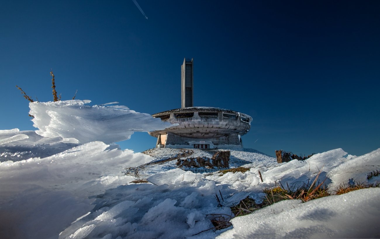
The monument that Georgi Stoilov designed and completed in 1981 is not propaganda architecture in the simple sense. Stoilov was a serious architect — former mayor of Sofia, co-founder of the Union of Bulgarian Architects — who created a building of genuine formal ambition: a flying saucer silhouette in reinforced concrete, 70 metres in diameter, its exterior clad in river stone mosaics collected by citizen brigades from waterways across the country. The interior main hall featured a 35-metre mosaic ceiling and seating for 1,000 people. Twin towers flank the approach. The construction cost was 14,186,000 leva — approximately $35 million in current terms. The funding mechanism was a public subscription; in practice, workers were pressured to donate a percentage of their wages. The Bulgarian public involuntarily financed a monument to its own subjugation.
The interior was stripped and looted after 1989. The roof has holes. The mosaics are partially intact. The building has been closed and legally prohibited to enter since 1992. In 2018, Europa Nostra listed it among Europe’s seven most endangered heritage sites. In 2019, the Buzludzha Project Foundation began conservation work with Getty Foundation grants; a protective shelter over the central mosaic panel was completed in 2022. There is no confirmed date for reopening.
The exterior is freely accessible year-round, via two mountain roads. The scale is extraordinary at close range: a concrete disc the size of a sports arena, elevated on two towers, on a ridge above the treeline.
Access: Two routes from below. Via Kazanlak: approximately 16 km on a mountain road (passable by ordinary car in summer; verify snow conditions before November). Via Gabrovo: approximately 12 km. The Shipka Pass road (E85) connects both sides; the monument is above the pass. No facilities at the site. Year-round access to the exterior; winter road conditions can make the approach impossible November through March.
→ Bulgaria and the Balkan interior mapped: Overland & Campervan in the Balkans — The Beyond the Map Road Guide
4. Vis Island, Croatia — The Adriatic’s Sealed Military Island
GPS (Rogačić submarine tunnel): 43.083°N, 16.183°E — Island of Vis, Dalmatia
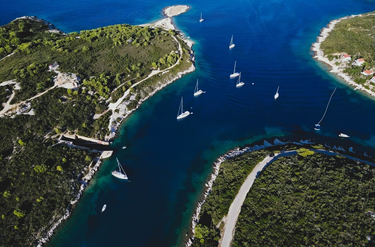
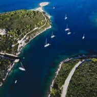
Vis is the furthest inhabited island in the Croatian Adriatic, 45 km offshore from Split. It has rocky coastline, good wine, and roughly 3,000 permanent residents. It is also, by most measures, the least developed of the major Dalmatian islands — and the explanation for that is a military classification order that ran for 37 years.
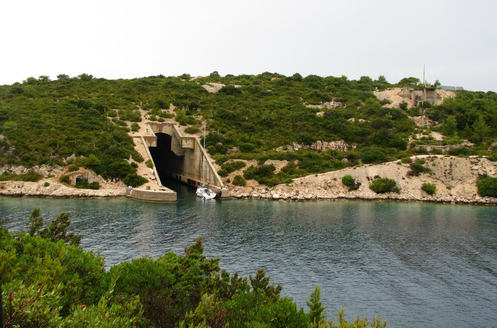
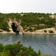
From the mid-1950s until 30 May 1992, Vis was a closed military zone under the Yugoslav People’s Navy. Foreigners were prohibited entirely. Yugoslav civilians required special permits that were rarely granted. The Yugoslav Navy carved approximately 20 km of tunnels into the limestone of the island to shelter submarines, torpedo boats, and fuel and ammunition stores. The submarine pens at Rogačić, on the island’s northern coast, run 120 metres into the hillside above 12 metres of water — deep enough to shelter a Yugoslav submarine under the island itself, invisible from the air.
Mass Adriatic tourism developed precisely during the decades Vis was sealed. The density of hotels, the concrete promenades, the tourist infrastructure that defines Hvar and Brač to the north — none of that arrived on Vis, because tourists couldn’t. What is now called the island’s “authentic character” — its largely intact old town fabric, its working agricultural terraces, its quiet — is a direct consequence of military closure. The island was preserved by prohibition.
The tunnel at Rogačić is freely walkable. Dry side passages run alongside the submarine pen’s water channel; at low tide the full length is accessible on foot. The Yugoslav naval command building above the tunnel entrance is abandoned. At Komiža, on the western side of the island, a second tunnel network is partially accessible. And above the town of Vis itself, a marked path leads to the cave on the island’s summit where Tito established his Supreme Headquarters between June and August 1944 — the period when Churchill’s son Randolph parachuted in to liaise with Partisan command. The cave, the military command structure built around it, and the fact of Churchill-Tito contact at this location are signposted and visitable. They appear in almost no English travel coverage of the island.
Access: Ferry from Split to Vis: approximately 2–2.5 hours (Jadrolinija; check current schedule and frequency — services vary significantly by season). The Rogačić tunnel is freely accessible, no fee, no booking, no guided tour required. The Tito cave is a 2-hour walk from Vis town, well signposted. No public transport to either site; hire a bicycle or car on arrival.
→ The Adriatic coast and Dalmatian hinterland mapped: Hidden Europe — The Beyond the Map Map
5. Fort Roupel, Serres, Greece — Three Wars in the Same Tunnels
GPS: 41.345°N, 23.375°E — Serres Prefecture, northern Greece
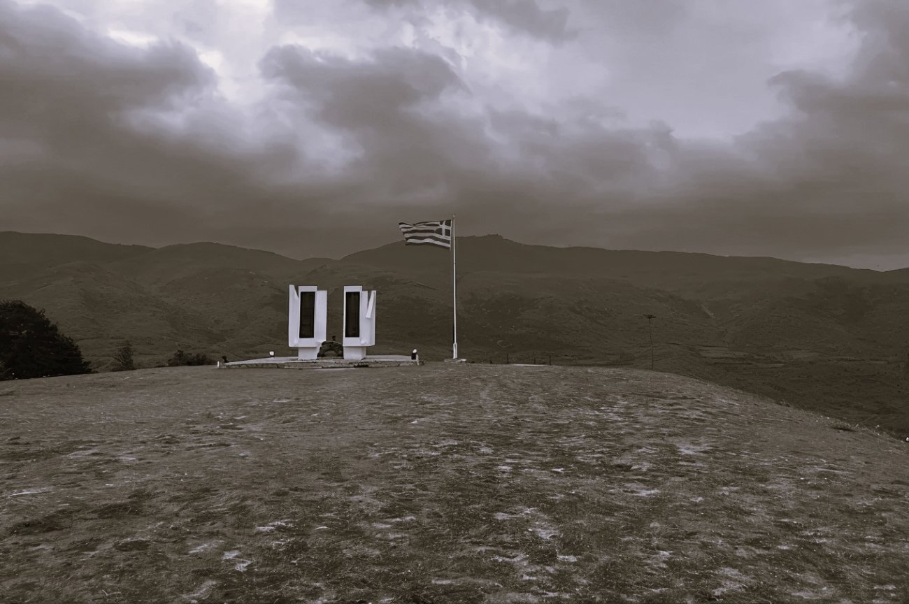
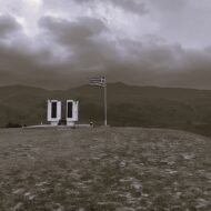
Fort Roupel sits on the Bulgarian frontier in the hills of the Strymon valley, 40 km from Serres and 100 km from Thessaloniki. It was built as part of the Metaxas Line in the 1930s — a chain of fortifications along Greece’s northern border, modelled on the Maginot Line — and it is one of the most densely layered military sites in Europe, because the same tunnels and gun emplacements were subsequently used in three distinct conflicts, each leaving its own physical and historical sediment.
The first layer is 1941. When German forces invaded Greece through Bulgaria in April 1941, Fort Roupel held out for two days against armoured and infantry assault, in a stand the Greek Army still commemorates. The garrison did not surrender until ordered to by the Greek High Command after the main defensive line had collapsed elsewhere.
The second layer is the Greek Civil War of 1946–1949 — the first hot proxy conflict of the Cold War, preceding Korea by nearly four years. Communist guerrillas under Markos Vafiadis, supported from Yugoslav and Bulgarian territory, fought the Greek government and its British-then-American backers in the mountains of northern Greece. Fort Roupel’s frontier position meant it sat on the line across which this war was being fought. The Truman Doctrine — the foundational statement of American Cold War policy — was formulated specifically in response to the Greek Civil War and the crisis in Turkey in 1947. The fort was part of the physical landscape that produced American Cold War foreign policy, and that connection appears in no English travel writing about the site.
The third layer is the actual Cold War: Greece as a NATO member from 1952, facing the Warsaw Pact across the same border the Metaxas Line had been built to defend in the 1930s. The tunnels were incorporated into Cold War defence planning. The gun emplacements that held German tanks in 1941 were subsequently refitted and maintained for a different adversary.
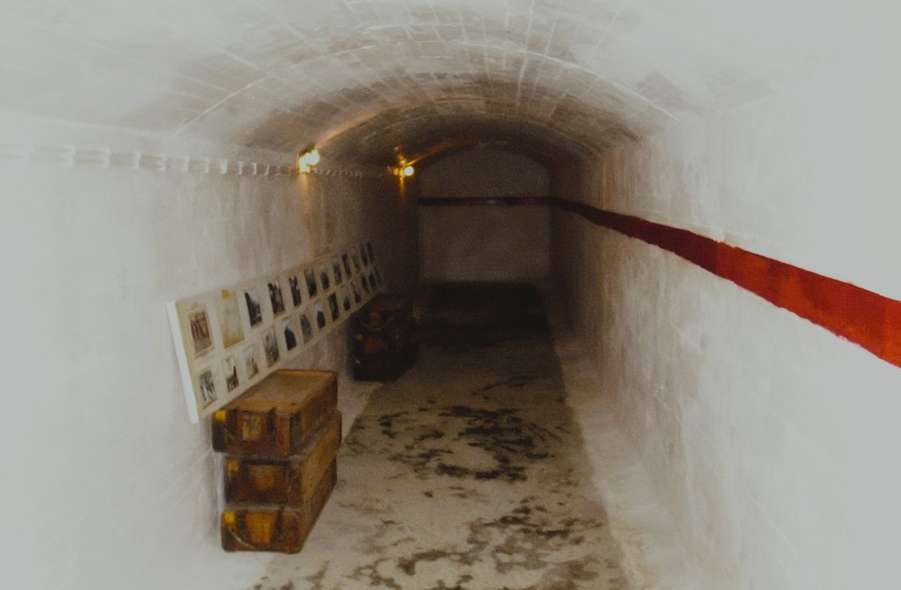
The museum inside the fort is one of the most physically accessible Cold War military sites in Greece: original anti-tank artillery, military equipment from multiple periods, uniforms, medals, an audiovisual room documenting the 1941 battle, and a section of the tunnel network including the infirmary and service areas. The three historical periods are presented — though the Cold War and Greek Civil War layers receive less attention than the 1941 defence in the museum’s current framing.
Access: No public transport. Drive from Serres (approximately 40 km, 45 minutes) or Thessaloniki (approximately 100 km, 1.5 hours). Verify current opening hours and entry fees at the site before visiting (roupel.gr). The fort is open to individual visitors; guided explanations are available but not mandatory.
→ Greece and the northern Balkans: Overland & Campervan in the Balkans — The Beyond the Map Road Guide
What the Paid Guide Contains
This article opens the territory. Five sites, five countries, five regimes — and the historical layer beneath each one that the standard travel coverage does not reach.
The Beyond the Map Cold War Balkans Guide is a five-part premium series:
Part 1 — Underground Command: ARK D-0 and the full Yugoslav bunker network in depth. The access logistics for every Yugoslav command facility now open to visitors, the architecture of socialist-era underground infrastructure across the region, and the documented story of the two soldiers who broke the detonation wires in 1992.
Part 2 — The Bunker State: Albania’s Bunk’Art museums and the 173,000-bunker programme in full. The Sigurimi archive material in Bunk’Art 2. The surviving Hoxha-era closed city of Sazan island — the most restricted site in the Albanian Cold War network. Logistics for visiting the bunker landscape across the country.
Part 3 — Monuments and the Architecture of Control: Buzludzha and the full network of abandoned Communist-era monumental architecture across the Balkans — in Bulgaria, Serbia, former Yugoslavia. What can be accessed, what is restricted, what is being restored. The architects who built them.
Part 4 — Sealed Islands and Coastal Military Sites: Vis and the full Yugoslav naval tunnel network across the Adriatic. The other closed Adriatic islands. The coastal fortifications of the Montenegrin shore. What is accessible by water versus on foot. Photography logistics for tunnel interiors.
Part 5 — The Frontline: Fort Roupel and the Greek-Bulgarian border fortification network. The Greek Civil War in the landscape — sites, battles, and the geography of the first Cold War proxy conflict. The Metaxas Line in its full extent. Access to sites on both the Greek and Bulgarian sides of the frontier.
The Cold War in the Balkans lasted longer, ran hotter, and produced stranger physical evidence than any other region in Europe. It is almost entirely unmapped in English-language travel writing.
Planning the Cold War Balkans route:
→ Overland & Campervan in the Balkans — The Beyond the Map Road Guide The Balkans by road — the Cold War infrastructure mapped into the broader overland route.
→ Hidden Europe — The Beyond the Map Map All five sites mapped alongside the full network of overlooked places across the continent.
→ Lost Soviet Sites of the Baltics — Beyond the Map The same Cold War layer, further north — six Soviet installations in Estonia, Latvia, and Lithuania.
→ Tbilisi Beyond the Map — The Wanders City Guide For when the Cold War route extends east — the Caucasus and the Soviet infrastructure of Georgia.
→ Autumn Photography in Europe — The Beyond the Map Premium Guide Buzludzha in October fog. The Vis tunnels in September light. The Cold War landscape in the off-season.