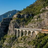
Europe’s great rail journeys take most of the attention: the Glacier Express, the Bernina line, the West Highland Line. Beyond them runs a quieter network of mountain railways. These lines were built through difficult terrain for practical reasons, and they rarely appear on anyone’s list of things to do.
Some were feats of engineering. Others were the only link between a remote valley and the rest of the country. All of them still offer something that is increasingly rare: the feeling of crossing a landscape that belongs more to geography than to tourism.
These are five coordinates: four where Europe’s mountain railways are still at their most dramatic and least crowded, and one where a railway has already disappeared:
- a line through the Dinaric mountains to the Adriatic
- a Portuguese gorge railway now lost beneath a reservoir
- a narrow-gauge line through a hundred valleys
- a pilgrims’ railway into the Austrian Alps
- a little yellow train in the Pyrenees
1. The Belgrade–Bar Railway, Montenegro
42.55° N, 19.38° E · Mala Rijeka Viaduct, north of Podgorica
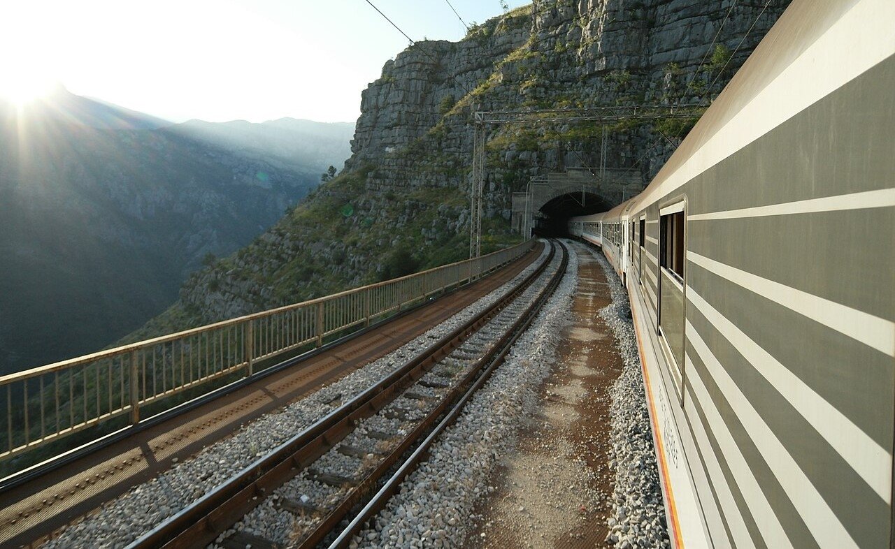
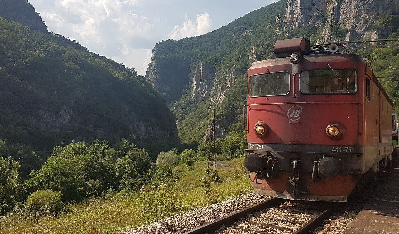
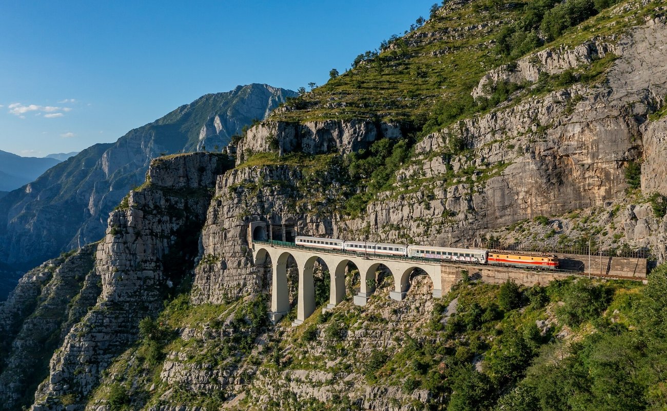
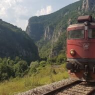
The railway from Belgrade to Bar is one of the most remarkable rail journeys in Europe, and few international travellers know it exists. It was built over more than two decades, through some of the most difficult terrain in former Yugoslavia, to give an inland country a line to the sea. When it opened in 1976, it ran for almost 500 kilometres, through more than 250 tunnels and over more than 400 bridges.
The Montenegrin section is the one to watch for. The line drops out of the mountains through deep gorges and short, dark tunnels, then crosses the Mala Rijeka Viaduct, around 200 metres above the river. It is among the highest railway bridges in the world. Small villages appear between the forests and the rock, and then vanish behind the next tunnel. Near the end, the line runs along Lake Skadar before reaching the Adriatic at Bar.
- Go for: the Mala Rijeka Viaduct, the mountains around Kolašin, Lake Skadar and the long descent to the sea.
- When: May to October. A night train runs all year; in summer, check whether a daytime train is running, as it’s the only way to see the best scenery from Belgrade.
- Getting there: the night train takes about 11 hours between Belgrade and Bar. For the most dramatic section only, ride the shorter stretch between Kolašin and Podgorica.
2. The Tua Line, Portugal
41.22° N, 7.43° W · Foz Tua, where the Tua meets the Douro, Trás-os-Montes
The Tua Line is the railway on this list you can no longer ride, and the reason it belongs here. This metre-gauge line left the Douro valley at Tua station and climbed north through the gorge of the Tua River into Trás-os-Montes, one of the most remote regions of Portugal. It opened in 1887 and later reached all the way to Bragança, more than 130 kilometres from the Douro.
For over a century it was one of the most atmospheric branch lines in Europe. The narrow track was cut into the side of the gorge, high above the river, through short tunnels and along ledges of bare schist, with the water far below. For the villages of the valley, it was the only easy way to the outside world.
Then the line was closed, piece by piece. The northern section to Bragança closed in 1991. After a fatal derailment near Brunheda, most of the line south of Mirandela was shut in 2008, The last surviving stretch, about 16 kilometres between Cachão and Carvalhais, ran as the Mirandela Light Railway until its trains stopped on 14 December 2018; buses and taxis have replaced it since. In 2016, the new Foz Tua dam was completed near the river mouth, and its reservoir flooded the lower gorge, and the trackbed with it. The most dramatic part of the Tua Line now lies under water.
Today the line is a story of what was lost. Plans to reopen the upper section between Brunheda and Mirandela as a tourist railway have been discussed for years, but no regular service had returned by 2026.
- Go for: Tua station on the Douro line and its small exhibition on the railway and the valley, the reservoir where the gorge used to be, and the quiet towns of Mirandela and Trás-os-Montes.
- When: spring and autumn; September brings the grape harvest on the Douro.
- Getting there: take the Douro line from Porto to Tua, one of the most beautiful train rides in Portugal in its own right. Mirandela is best reached by car or bus.
3. The Vigezzina–Centovalli Railway, Italy and Switzerland
46.13° N, 8.46° E · Santa Maria Maggiore, Valle Vigezzo
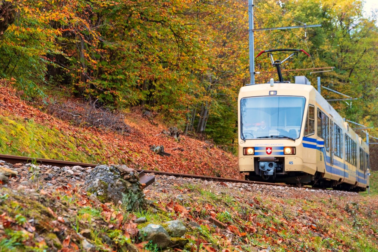
This narrow-gauge line crosses the border between Italy and Switzerland, linking Domodossola with Locarno on Lake Maggiore. Opened in 1923, it covers about 52 kilometres, crossing more than 80 bridges and passing through more than 30 tunnels. The landscape it travels through is one of waterfalls, chestnut forests and stone villages.
Centovalli means “a hundred valleys”, and the journey feels as if it passes through every one of them. Unlike Switzerland’s famous panoramic trains, this line has stayed modest. Local commuters share the carriages with hikers and a few travellers who found it almost by chance. On the Italian side, the Valle Vigezzo is known as the “valley of painters”, for the artists who were drawn to its light.
- Go for: chestnut forests, high bridges over the gorges, the painters’ villages of the Valle Vigezzo, and a slow arrival on Lake Maggiore.
- When: October for the autumn colours (the “Foliage Train” season); April to June for the waterfalls at their fullest.
- Getting there: the journey takes about two hours. Domodossola has direct trains from Milan and the Simplon line; Locarno has frequent trains from the rest of Switzerland.
4. The Mariazellerbahn, Austria
47.77° N, 15.32° E · Mariazell, Styria
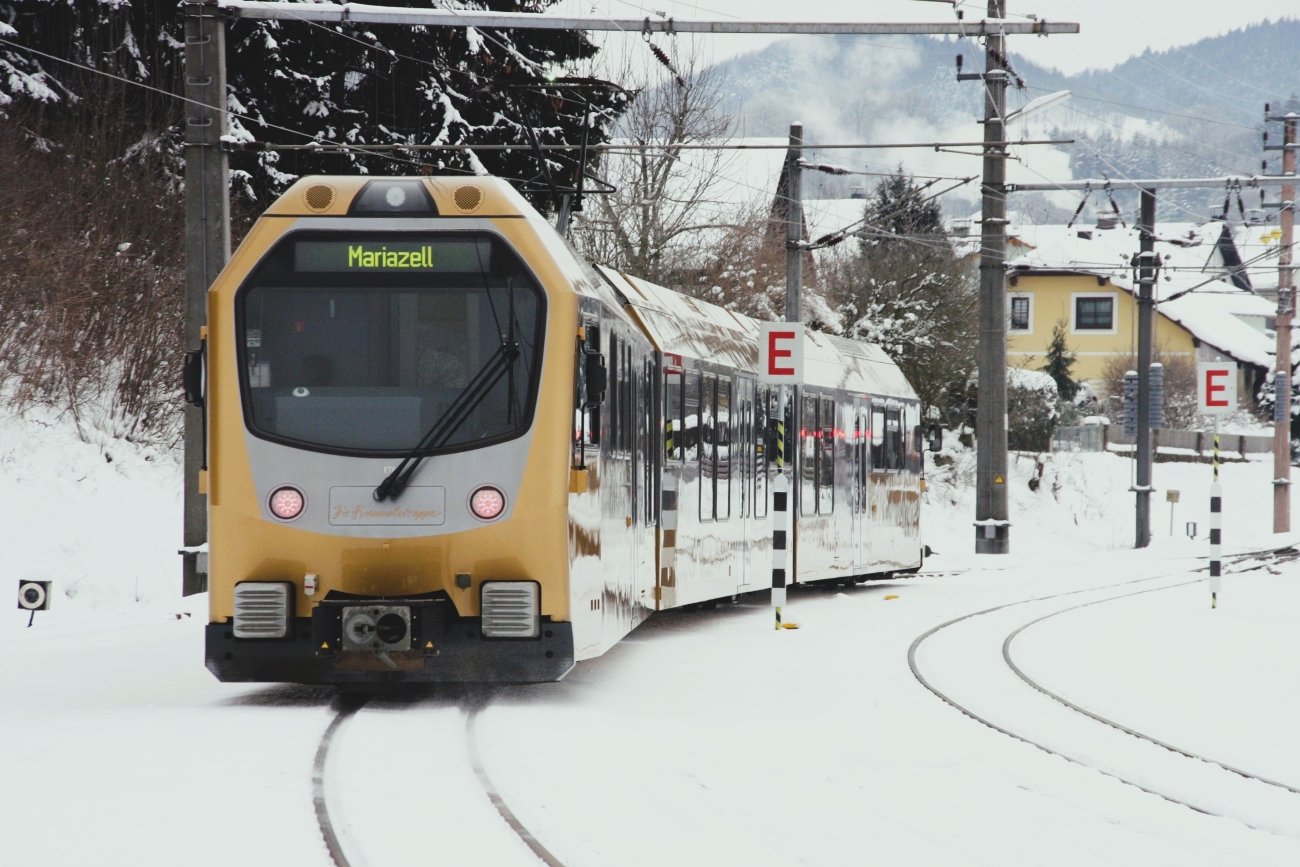
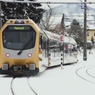
While most visitors head for the Tyrol, one of Austria’s most beautiful railways climbs quietly through Lower Austria toward the pilgrimage town of Mariazell. The narrow-gauge line opened in 1907, was electrified just a few years later, and still runs for about 84 kilometres from St. Pölten into the mountains.
The first half follows gentle river valleys and farmland. The second becomes a true mountain railway, with long curves, tunnels and tall stone viaducts, as the train climbs toward the Gösing area and over the pass into Styria. Mariazell itself has drawn pilgrims for more than eight hundred years, and its basilica is one of the most important shrines in Central Europe. For more than a century, this railway has connected small mountain communities with the rest of the country.
- Go for: the mountain section beyond Laubenbachmühle, the Mariazell basilica, and the Ötscher gorges (Ötschergräben), reached on foot from Wienerbruck station.
- When: May to October; September and October for autumn colour and quiet.
- Getting there: the line starts at St. Pölten, about 30 minutes by train from Vienna. The full journey takes about two and a half hours.
5. Le Train Jaune, France
42.50° N, 2.07° E · Bolquère-Eyne, Cerdagne, eastern Pyrenees
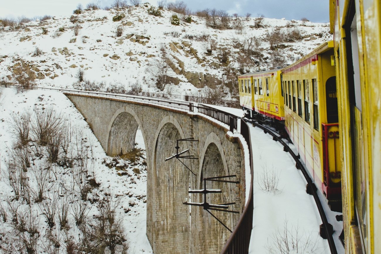
Known locally as Le Train Jaune, the little yellow train runs through the eastern Pyrenees between Villefranche-de-Conflent and Latour-de-Carol, near the Spanish border. Over about 63 kilometres it links mountain villages that sit between France and Catalonia, climbing to Bolquère-Eyne, at 1,593 metres the highest railway station in France.
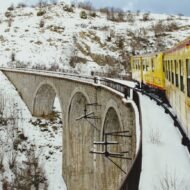
The engineering is remarkable. The train crosses the Séjourné Viaduct, a two-level stone bridge above the Têt valley, and the Gisclard Bridge, the last railway suspension bridge in service in France. In summer, open carriages let you ride in the mountain air. Despite all this, the line is still missing from most European rail itineraries, and that is part of its appeal.
- Go for: the Séjourné Viaduct and Gisclard Bridge, the open-air carriages, the fortified town of Villefranche-de-Conflent, and the high plateau of the Cerdagne.
- When: June to September for the open carriages; autumn for colour. The line usually closes for a few weeks each year for maintenance, with replacement coaches, so check the dates.
- Getting there: Villefranche-de-Conflent is reached by train from Perpignan. At the other end, Latour-de-Carol connects with trains to Toulouse and to Barcelona.
How to ride slowly
These railways reward patience more than planning. A few habits make the difference:
- Sit on the valley side. On mountain lines, one side of the train has most of the views. Ask a conductor, or look at the map before you board.
- Break the journey. Every line here has a village or two worth a night. Get off, stay, and catch the next train.
- Go in the shoulder months. Spring and autumn bring better light, fewer travellers and, often, cheaper fares.
- Check the timetable twice. Mountain lines change with the season, and works or weather can bring replacement buses at short notice.
- Travel light. Small stations and narrow carriages have little space for large luggage.
Frequently asked questions
Which forgotten mountain railway is the most dramatic? The Belgrade–Bar line, for its scale: the Mala Rijeka Viaduct is around 200 metres high. Le Train Jaune is the most dramatic in a small space, with the highest station in France and two remarkable bridges.
Which of these railways is easiest to reach? The Vigezzina–Centovalli and the Mariazellerbahn. Both start from towns on main rail lines, about 30 minutes from Vienna in the case of the Mariazellerbahn, and they can be done as day trips.
Do I need to book in advance? Usually not, except on the Belgrade–Bar night train in summer, where a sleeper berth is worth booking ahead, and on the open carriages of Le Train Jaune in July and August.
Beyond the map
These railways were never built for sightseeing. They were built to connect isolated communities, to carry goods, and to cross mountains that resisted easy movement. Their practical purpose has become their greatest attraction today.
Together, they show a different Europe: not the continent of capitals and high-speed lines, but of forgotten valleys, high passes and engineering ambition carved into the rock.
The Tua Line is the warning. Railways like these are not guaranteed; they survive because people still ride them. Four of these tracks are still there. Most travellers simply never think to follow them.
Carry the journey with you: Beyond the Map Field Guides
Our premium guides are made for travellers who want to go further than an article can take them.
Overland & Campervan in the Balkans — The Beyond the Map Road Guide The Bar railway is one way into the Balkans. This guide covers the slow roads, mountain villages and border crossings for travellers who want to keep going at their own pace.
Autumn Photography in Europe — The Beyond the Map Premium Guide Chestnut forests in the Centovalli, beech woods above Mariazell, the Pyrenees in October light. This guide is for the season when these railways look their best.
Hidden Europe — The Beyond the Map Map Every coordinate in this article, and many more, on one map of the Europe most travellers never see.
Explore more: How You Travel · Slow Escapes · Field Guides