The standard European coast holiday has a shape: a flight south, a hotel strip, a menu in four languages. What it rarely has is a reason — a story older than the season, a people still present in a place, a language that survived by outlasting the empire that tried to erase it. These five coastlines have all of that. One is the last undeveloped Atlantic shore in western Europe. One carries 2,700 years of spoken Greek and nobody much has noticed. One was sealed by the Cold War and stayed wild because of it. One is where the known world ended and the ocean took over. One was inscribed by people whose civilisation vanished but whose images survived in the rock. GPS coordinates for all five.
- 1. Bovesia, Calabria, Italy — The Greek That Never Stopped
- 2. Costa Vicentina, Portugal — The Last Wild Atlantic Coast
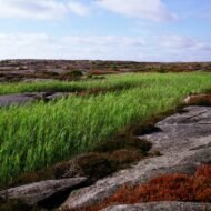
- 3. Bohuslän, Sweden — 3,000 Years on the Rock
- 4. Costa da Morte, Spain — The End of the Known World
- 5. The Curonian Coast, Lithuania — The Sand That Buried Villages
- Practical Notes Across All Five
1. Bovesia, Calabria, Italy — The Greek That Never Stopped
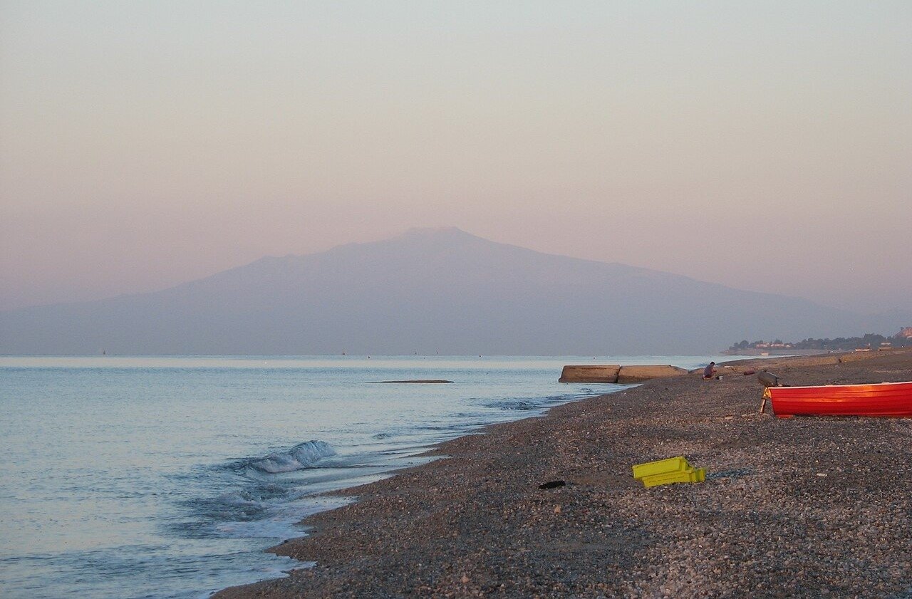
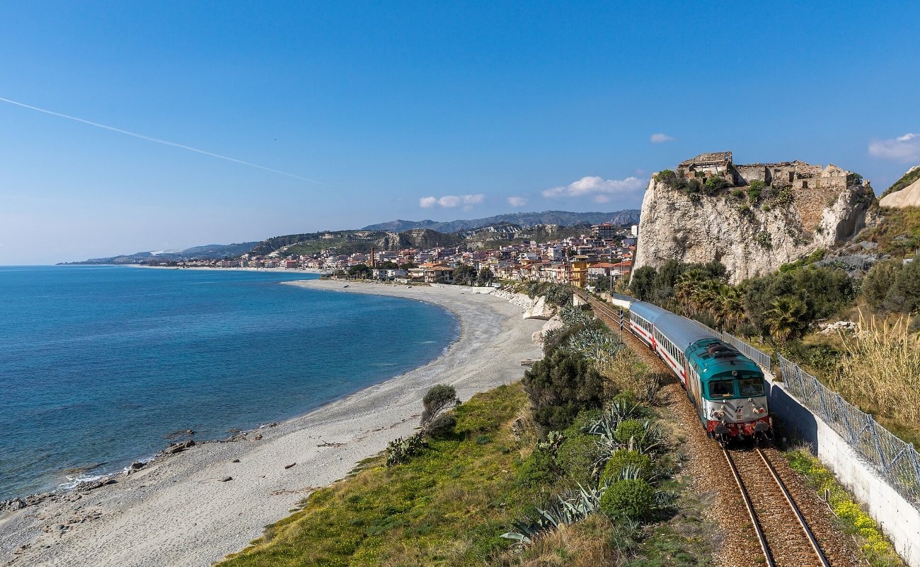
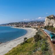
There is a stretch of coastline at the toe of Italy’s boot — the Reggio Calabria coast facing Sicily across the Strait of Messina — where the landscape looks like what it is: one end of the ancient Greek world. The hills above the water have been inhabited continuously since the 8th century BC, when colonists from Greece established the cities of Magna Graecia along this shore. What nobody in the travel guides tends to mention is that some of those colonists never left. The language spoken in five villages in those hills is still, after approximately 2,700 years, a form of Greek.
The Calabrian Greeks call their language Greko or Grecanico. Linguists have argued for a century and a half whether it descends in an unbroken line from the Doric colonists of antiquity — which would make it the oldest surviving spoken form of Greek anywhere — or from Byzantine settlers who arrived in the medieval period. Either way, UNESCO classifies it as “severely endangered.” The communities of Bovesia — the collective name for the Greko-speaking zone around Reggio Calabria — have around 2,000 inhabitants across nine villages. The youngest fluent speakers are predominantly in their sixties. An entire civilisation’s linguistic thread runs through a handful of elderly people in hill villages above the Strait of Messina.
The gravitational centre of what remains is Gallicianò (GPS: 37.997°N, 15.858°E), a village of fewer than 100 permanent residents on a ridge above the Amendolea valley — the only Bovesia community where Greko is still genuinely spoken daily by part of the population, not only performed at festivals or studied in evening classes. The Museo della Cultura Grecanica here holds oral recordings and manuscripts; the annual summer festival draws Greko communities from across the diaspora. The drive up to Gallicianò through the Amendolea gorge is one of the most extraordinary short journeys in southern Italy: a narrow road threading between vertical limestone walls above an emerald river, arriving on a ridge from which you can see the Strait of Messina and, on clear days, the Sicilian coast.
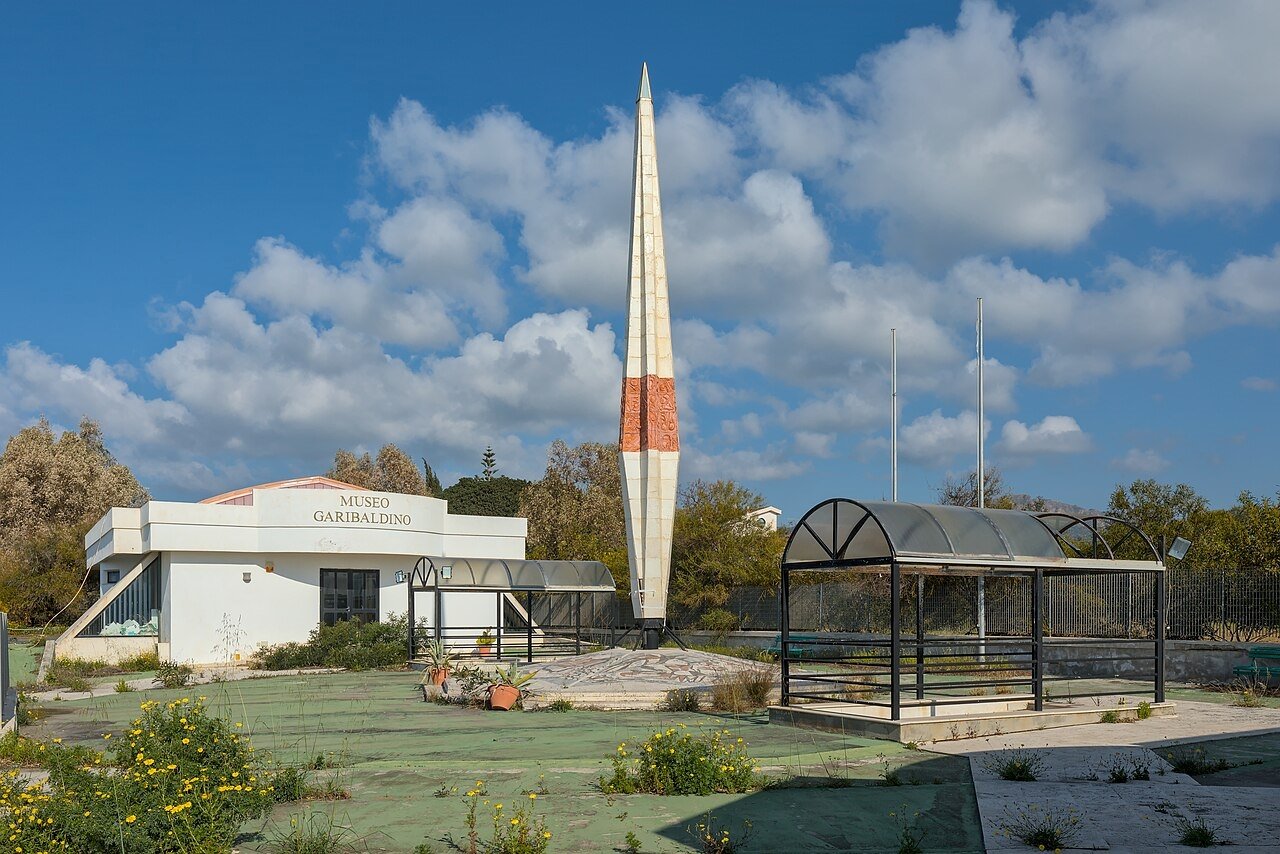
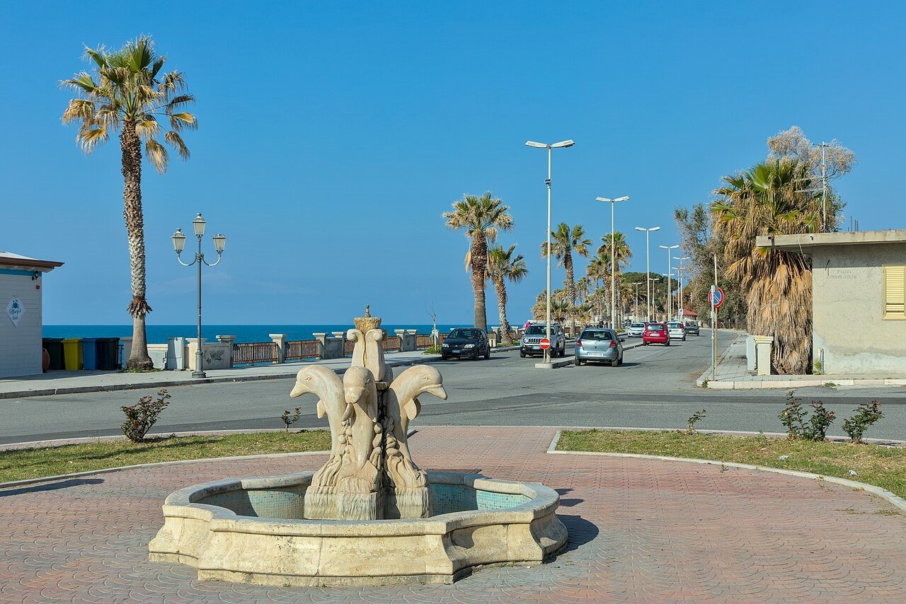
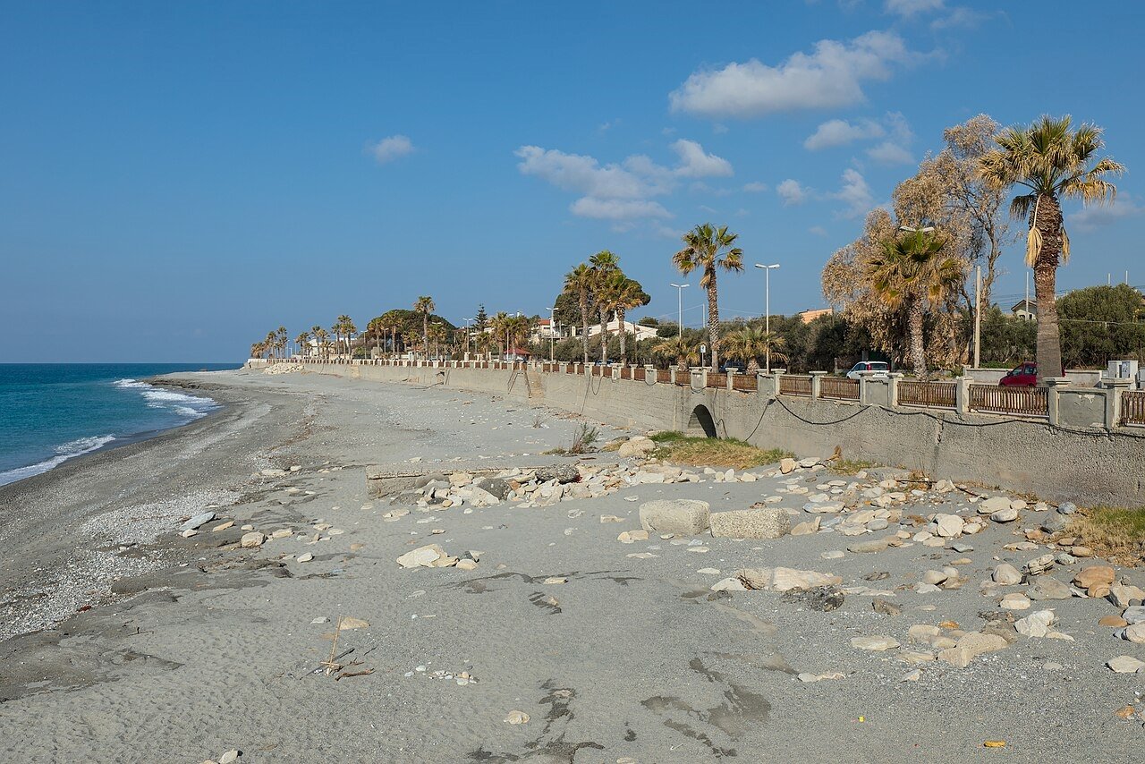
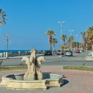
Bova Superiore (GPS: 37.994°N, 15.921°E), the medieval hilltop capital of the Greko world, has around 400 residents and an architectural integrity that only depopulation tends to preserve — no concrete intrusions, stone streets, the Church of Santa Maria Assunta, and a view down to the sea that runs unbroken for 30 km. The coast below at Bova Marina (GPS: 37.923°N, 15.921°E) is a working Italian beach, not a tourist destination; the small museum there has finds from the ancient Greek settlement at Capo Bruzzano.
What to visit: Gallicianò village and Museo della Cultura Grecanica (call ahead — opening hours irregular). Bova Superiore historic centre. The Amendolea gorge road between Bova Marina and Gallicianò. Capo Bruzzano archaeological site, visible from the Bova Marina coastal road. Base: Reggio Calabria, 30–45 km; hire car essential, no reliable public transport into the hill villages. Villa San Giovanni ferry for Sicily connections.
→ The Hidden Europe Map covers southern Italy’s Calabrian coast, the Strait of Messina crossing, and the Bovesia village cluster.
2. Costa Vicentina, Portugal — The Last Wild Atlantic Coast
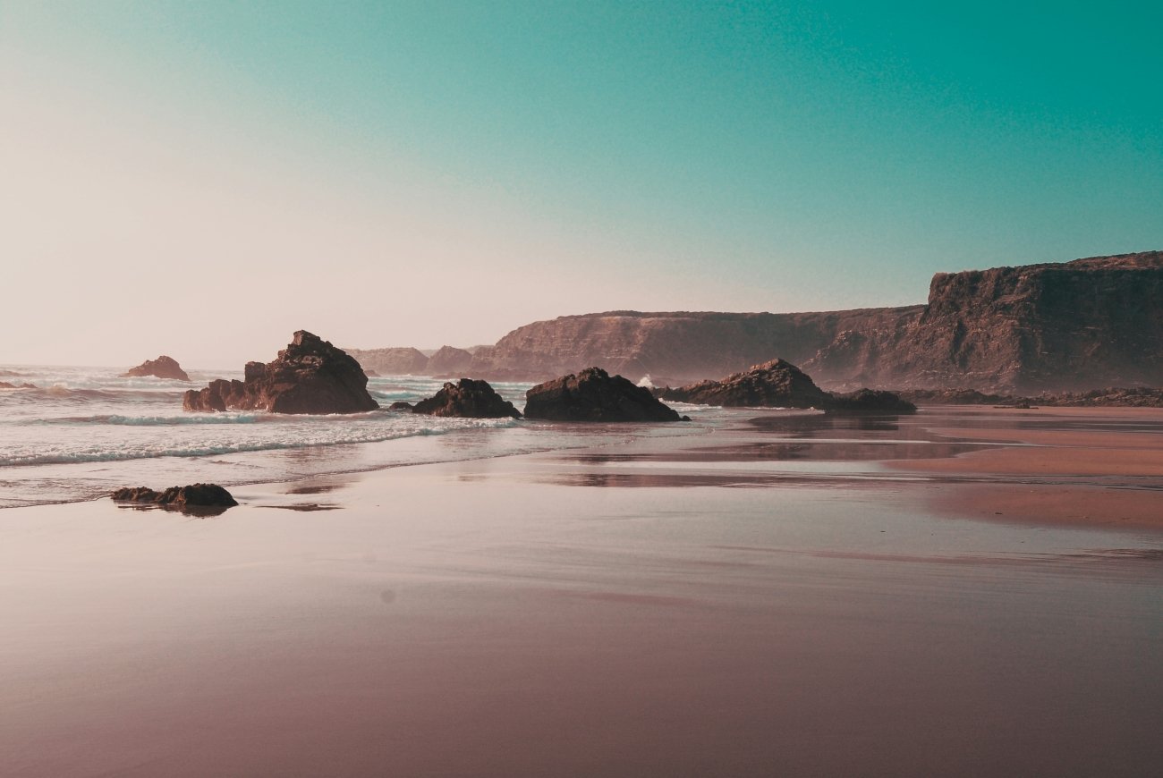
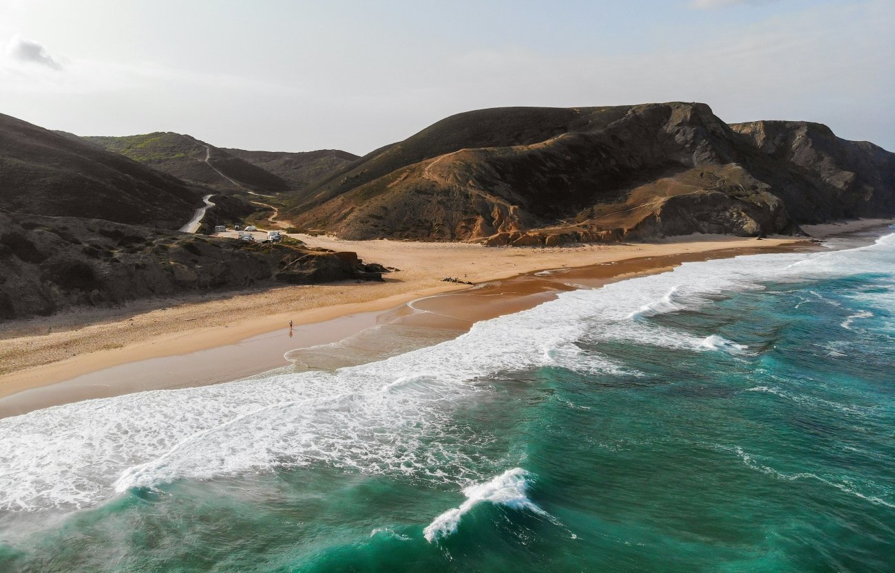
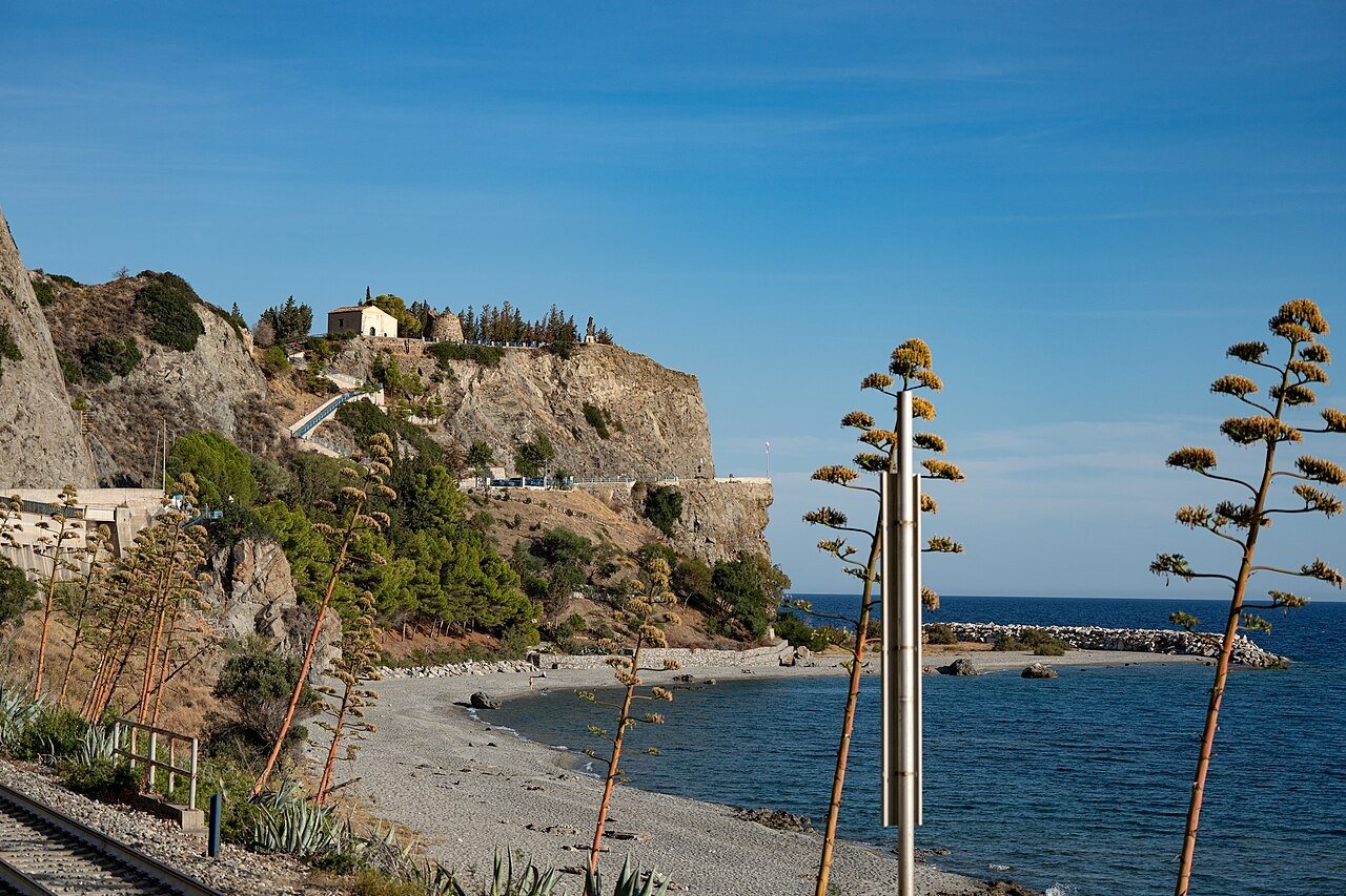
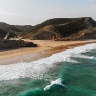
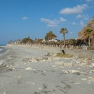
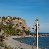
Somewhere between the Algarve and the Alentejo, the tourist infrastructure of western Europe simply stops. The Costa Vicentina — the Atlantic-facing coastline running roughly 120 km from Sines in the north to Cabo de São Vicente in the south — is classified by the European Environment Agency as one of the last stretches of wild Atlantic coast remaining in western Europe. It has no coastal resorts in the developed sense, no marina hotels, no strip of restaurants facing a promenade. What it has: cliffs of red and ochre sandstone up to 30 metres high, Atlantic swells arriving with nothing between them and Newfoundland, surf beaches that see perhaps a hundred people on a busy summer weekend, migratory storks resting on the clifftops, and the occasional fishing boat coming in to the small working harbours at Porto Covo and Zambujeira do Mar.
The reason is partly geography — the coast faces west into the full Atlantic and has no natural harbour large enough to anchor a resort economy — and partly protection. The Southwest Alentejo and Vicentine Coast Natural Park (established 1988, 895 km²) covers the entire coastline and 290 km² of sea, making large-scale development legally prohibited. The park has twelve endemic plant species found nowhere else on earth. The golden eagle nests here. The cliffs between Odeceixe and Carrapateira are the most intact section: tall red sandstone walls, wild flowers growing from the cliff edge, paths that follow the clifftops for kilometres without a road in sight.
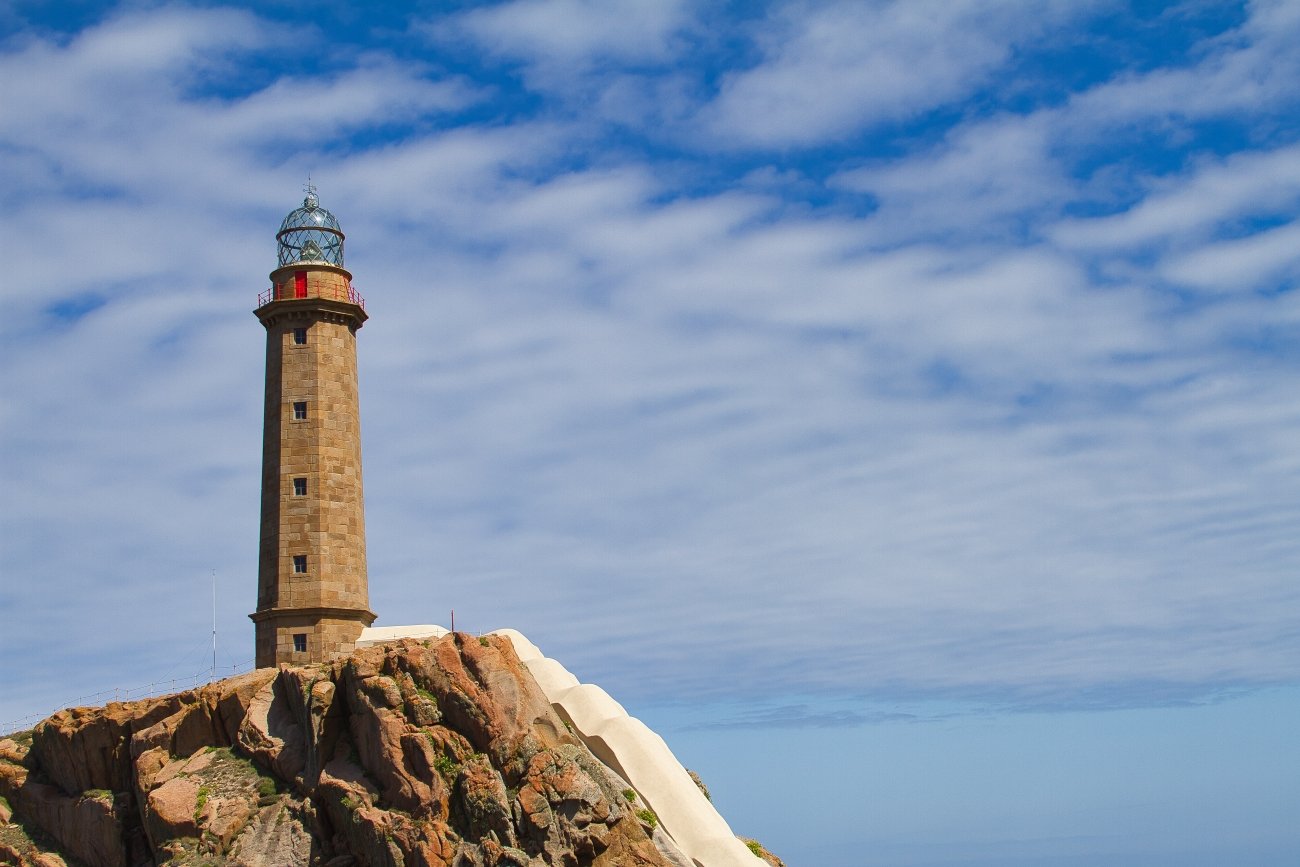
The cultural anchor is Cabo de São Vicente (GPS: 37.023°N, 8.994°W) — the southwestern tip of continental Europe, where the Atlantic begins. The Romans called it Promontorium Sacrum, the Sacred Promontory, and considered it the point at which the known world gave way to the unknowable ocean. In the 15th century, Prince Henry the Navigator based his school of navigation at nearby Sagres, drawing cartographers, astronomers, and pilots from across Europe to work out the mathematics of the sea routes that led to the discovery of the Americas and the route to India. The fortress at Cabo de São Vicente, rebuilt after Francis Drake sacked it in 1587, stands at the cliff edge with the second-most-powerful lighthouse in Europe behind it. On a clear day the view westward contains nothing but water.
Porto Covo (GPS: 37.849°N, 8.784°W) is the northern anchor of the coast’s most interesting walking section: a small whitewashed fishing village with an 18th-century layout intact, a working harbour below the cliff, and the ruins of a Portuguese fort on the island of Pessegueiro offshore. Odeceixe (GPS: 37.459°N, 8.770°W) is where the Alentejo meets the Algarve — administratively, a river runs through the village and the two regions sit on its opposite banks. The beach below the village is a wide arc of sand at the bottom of a green valley, almost always quieter than anything on the Algarve coast 20 km south.
The Rota Vicentina walking trail network — specifically the Fishermen’s Trail (Trilho dos Pescadores) running 226 km from Porto Covo to Cabo de São Vicente — follows the cliff edge and old fishermen’s paths the entire length of the coast. It is among the finest coastal walks in Europe and receives a small fraction of the traffic of the Camino de Santiago, which ends 150 km to the north.
What to visit: Cabo de São Vicente fortress and lighthouse (GPS: 37.023°N, 8.994°W) — last hour of light here is extraordinary. Sagres Fortress (GPS: 36.997°N, 8.942°W) — Henry the Navigator’s base; the giant stone wind compass (rosa dos ventos) is still visible. Porto Covo village and Pessegueiro island view (GPS: 37.849°N, 8.784°W). Odeceixe beach below the village (GPS: 37.423°N, 8.786°W). The Fishermen’s Trail cliff section between Zambujeira do Mar and Odeceixe — 3–4 hours, no road crossings, constant cliff edge. Base: Lagos (Algarve, 40 km south) or Odemira (inland Alentejo). Hire car useful but the Fishermen’s Trail sections are self-contained by foot.
→ The Hidden Europe Map covers the Costa Vicentina in full, with the Rota Vicentina trail sections, key beaches, and road access from Sines and Lagos.
3. Bohuslän, Sweden — 3,000 Years on the Rock
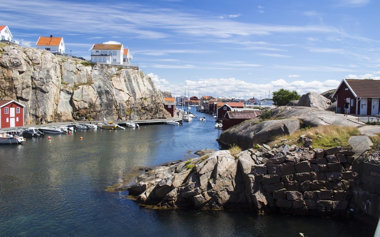
On the west coast of Sweden, about 100 km north of Gothenburg, the granite coast of Bohuslän has a feature that distinguishes it from any other coastline in Europe: more than 1,500 Bronze Age rock carvings spread across a landscape of smooth water-worn slabs and island inlets. The site at Tanum — a UNESCO World Heritage Site since 1994 — contains over 400 groups of petroglyphs, the largest concentration of Bronze Age figurative art in Scandinavia, carved between 1700 and 500 BC by communities who controlled the sea routes between the Baltic and the North Atlantic.
The carvings at Tanum are not tourist-friendly in the generic sense — there is no Disney presentation, no dramatised re-enactment. What there is: flat rock faces beside a quiet road, painted red or left in their natural grey, covered with ships, warriors, hunters, bulls, horses, deer, sun symbols, and human figures up to two metres tall who may represent gods. The ships are extraordinary — hundreds of them, depicting long-keeled Bronze Age vessels with crews of oarsmen, giving us the only visual record of the ships that made these waters a highway for three thousand years before the Viking age. The largest single figure at Litsleby carries a spear and is over two metres high; archaeologists believe it may be one of the earliest representations of a Norse deity in existence.
The main cluster of sites around Tanumshede (GPS: 58.723°N, 11.329°E) is compact and walkable. Vitlycke (GPS: 58.712°N, 11.328°E) is the central site — the Vitlycke Museum here is small, excellent, and the adjacent rock panel (carvings painted red, lit by slanted northern light) is one of the most affecting archaeological sites in northern Europe. Aspeberget, a few minutes uphill from Vitlycke, has the densest concentration of ship images and the bull carvings that appear on every poster. Litsleby is across the road: the single large warrior figure, one panel painted white, surrounded by smaller figures that seem to be moving around him. ,Gullholmen: Bohuslän’s Most Extraordinary Island Community
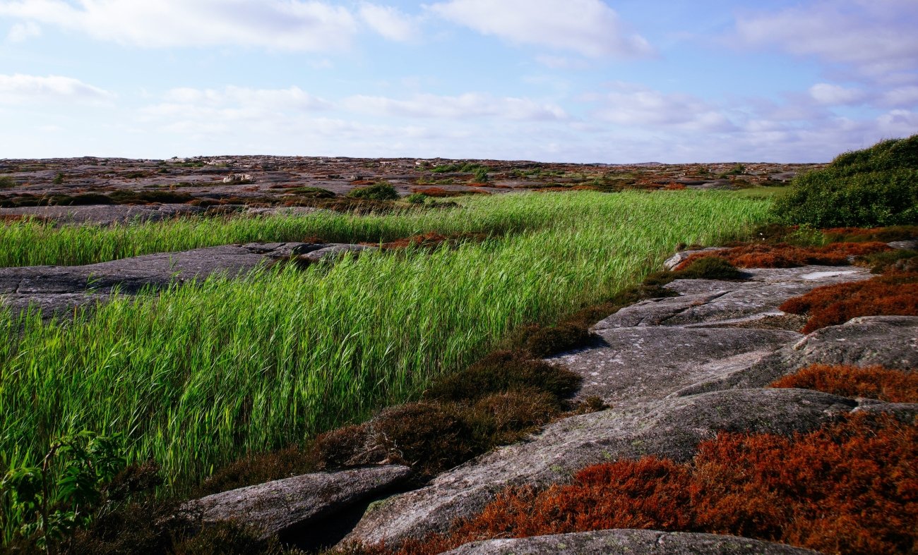
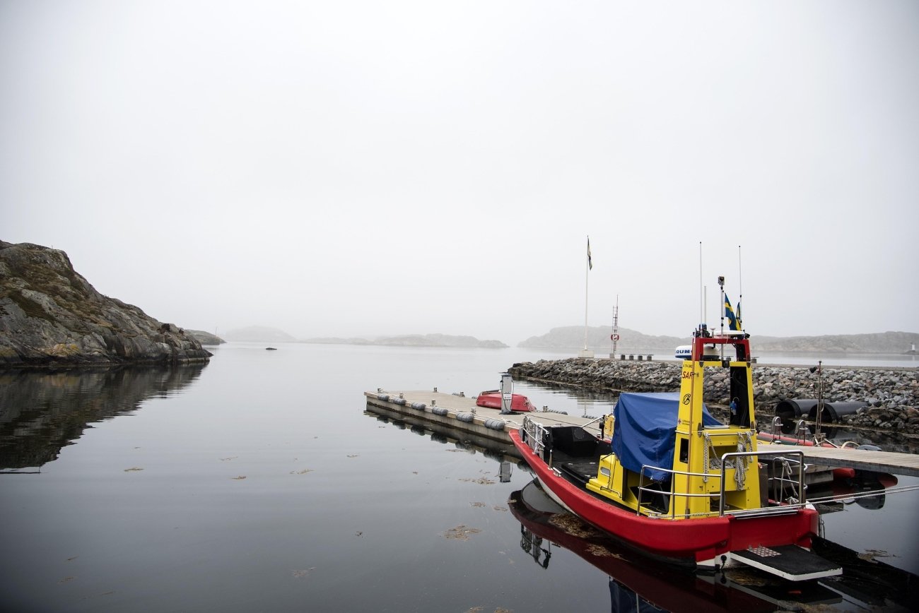
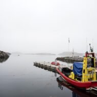
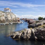
The Bohuslän coast itself — granite islands, fishing villages, boat traffic — is the landscape within which all of this sits. Smögen, Fjällbacka (where Camilla Läckberg set her crime novels; GPS: 58.598°N, 11.284°E), and Kungshamn are working fishing towns that have not been reshaped for tourism in the way the Danish or Norwegian coasts further south tend to be. The boat-served island of Käringön has no cars. The summer light here — long, low, amber — is unlike anything in southern Europe.
What to visit: Vitlycke Museum and rock carvings (GPS: 58.712°N, 11.328°E) — open year-round. Aspeberget and Litsleby panels, 5 minutes from Vitlycke. Tanumshede village as base (GPS: 58.723°N, 11.329°E). Fjällbacka harbour and the Camilla Läckberg landscape (GPS: 58.598°N, 11.284°E). Smögen fishing village and boardwalk, 40 km south. Base: Gothenburg (1.5 hrs by train to Uddevalla; hire car for the sites). Best season: June–August for long light; the carvings are extraordinary in slanted late-evening sun.
→ The Hidden Europe Map covers the Bohuslän coast and the Tanum World Heritage area with the key sites marked.
4. Costa da Morte, Spain — The End of the Known World
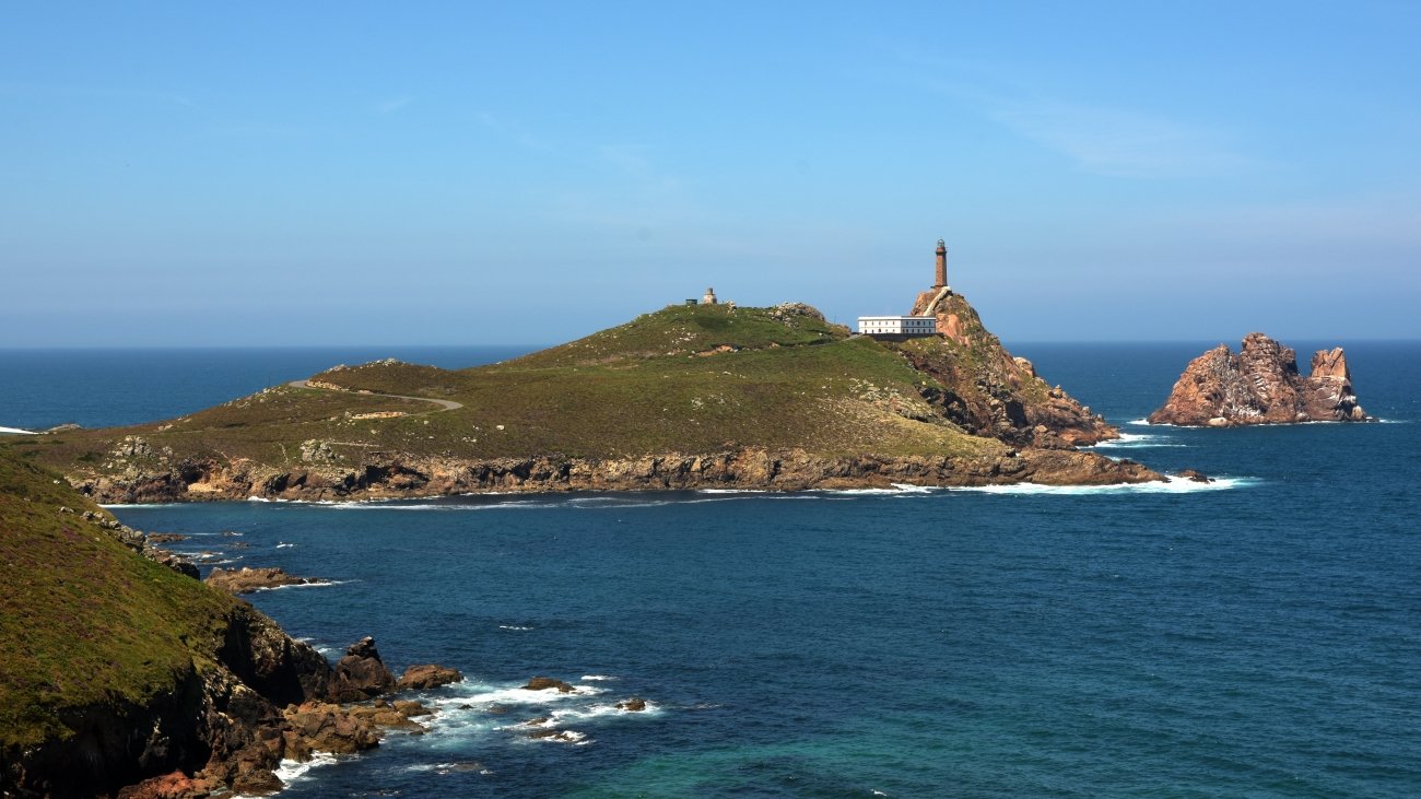
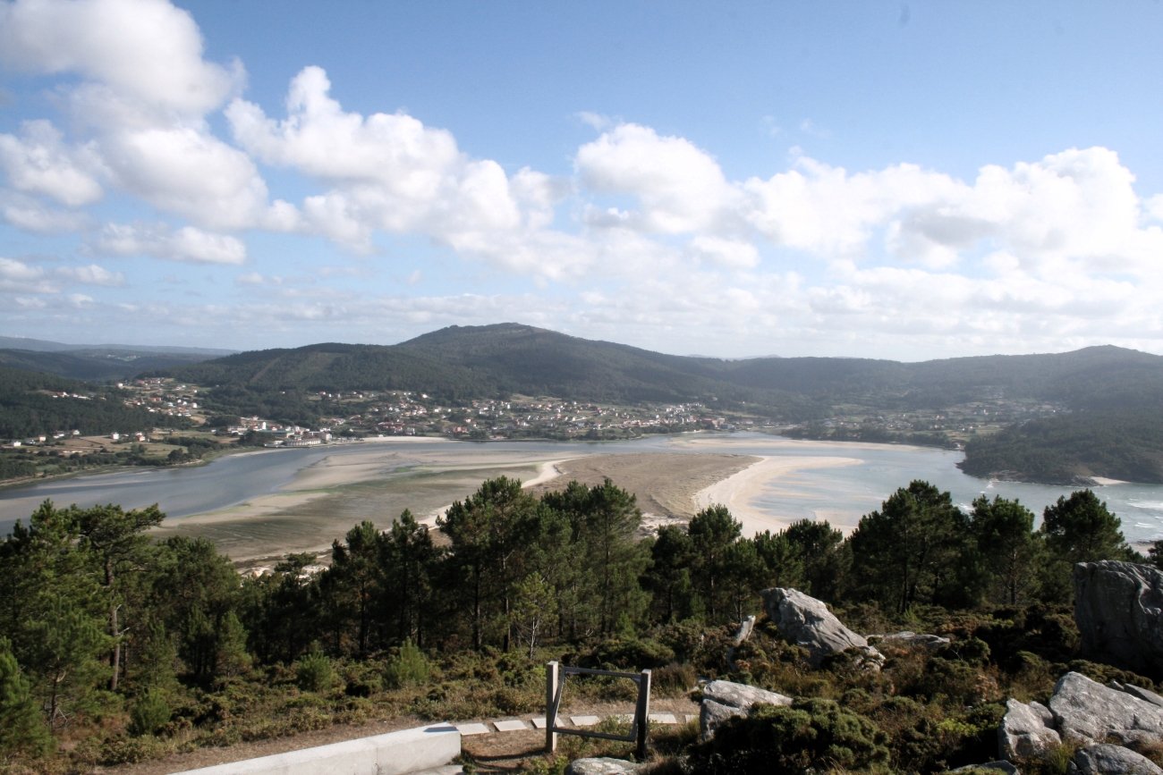
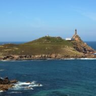
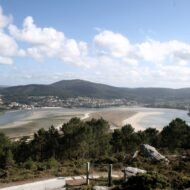
The Romans reached the northwestern tip of the Iberian Peninsula and called it Finisterrae — the Land’s End, the boundary of the world. Beyond here was the Atlantic: featureless, grey, running to a horizon that led nowhere. They were not wrong about the coastline. The rocky headlands of what is now Galicia’s Costa da Morte — the Coast of Death — receive Atlantic swells that have been building since Newfoundland. There are no offshore islands to break the fetch. The coast is a system of granite capes, submerged reefs, and inlets so deep that even experienced pilots routinely miscalculated, and for three centuries of increasing Atlantic trade the ships came to grief here at a rate that gave the coast its name. The name itself dates only to 1904, when a Galician newspaper used it to describe the latest in a series of disasters — but by then the coastline had been ending ships for millennia.
The most documented single catastrophe is HMS Serpent, an English torpedo cruiser that struck the rocks off Cape Vilán in November 1890 during a storm. 173 of its 176 crew died. The three survivors were found on the coast by local fishermen; the bodies of those who drowned were buried in the village cemetery at Camariñas, which still maintains the graves. The cemetery of the English, as it is locally called, is one of the quieter and more affecting memorials on any European coast. The crew of the Serpent knew they were near land — they had identified their position by lighthouse — but the lighthouse was Cape Vilán, which in 1890 had just become the first electrically powered lighthouse in Spain (1896, correctly), and the light was not yet the intensity they expected. The calculation was off by one rocky headland.
Cape Finisterre (GPS: 42.888°N, 9.274°W) is where the Camino de Santiago ends for pilgrims who continue beyond Santiago — the traditional burning of boots or the collection of the distance certificate (La Fisterra-Muxía) has made it a site of arrival as much as it is a site of the world’s edge. This gives the cape a crowd problem in summer. Muxía (GPS: 43.103°N, 9.220°W), 30 km north, has none of it — a fishing town on a rocky headland with the Santuario da Virxe da Barca, a Romanesque chapel rebuilt after lightning destroyed it in 2013, and the pedras de abalar (rocking stones) beside it that predate the chapel by several thousand years and were a ritual site long before Christianity arrived here. The rocking motion of the largest stone — which can be set moving by a single person pushing in the right place — was once used for divination; the Church incorporated the stones into the sanctuary rather than removing them.
The Galician interior behind the coast — the Celtic landscapes, the hórreos (stone granary pillars), the bagpipe tradition that connects this coast to Brittany and Ireland across the water — gives the Costa da Morte a cultural depth that the Camino crowds at Finisterre tend to flatten. The morriña, the specifically Galician melancholy for a homeland always at risk of being left, is inscribed in the landscape.
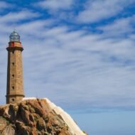
What to visit: Cape Finisterre lighthouse and 0.00 km marker (GPS: 42.888°N, 9.274°W). Muxía Santuario da Virxe da Barca and pedras de abalar (GPS: 43.103°N, 9.220°W). Cape Vilán lighthouse (GPS: 43.162°N, 9.199°W) — first electric lighthouse in Spain; the cliff view here is the most dramatic on the coast. Camariñas cemetery of the English (GPS: 43.128°N, 9.182°W) — graves of HMS Serpent crew. Lires beach, south of Muxía — one of the most isolated Atlantic beaches in Galicia. Base: Santiago de Compostela (90 km; hire car essential, no reliable public transport to the capes). Best season: September–October, after the Camino crowds thin and before Atlantic storms arrive.
→ The Spanish Pyrenees Travel Guide covers the wider northern Spain coastal picture; the Costa da Morte sits at the Atlantic end of the same northern arc. The Hidden Europe Map marks the capes, the HMS Serpent cemetery, and road connections from Santiago.
5. The Curonian Coast, Lithuania — The Sand That Buried Villages
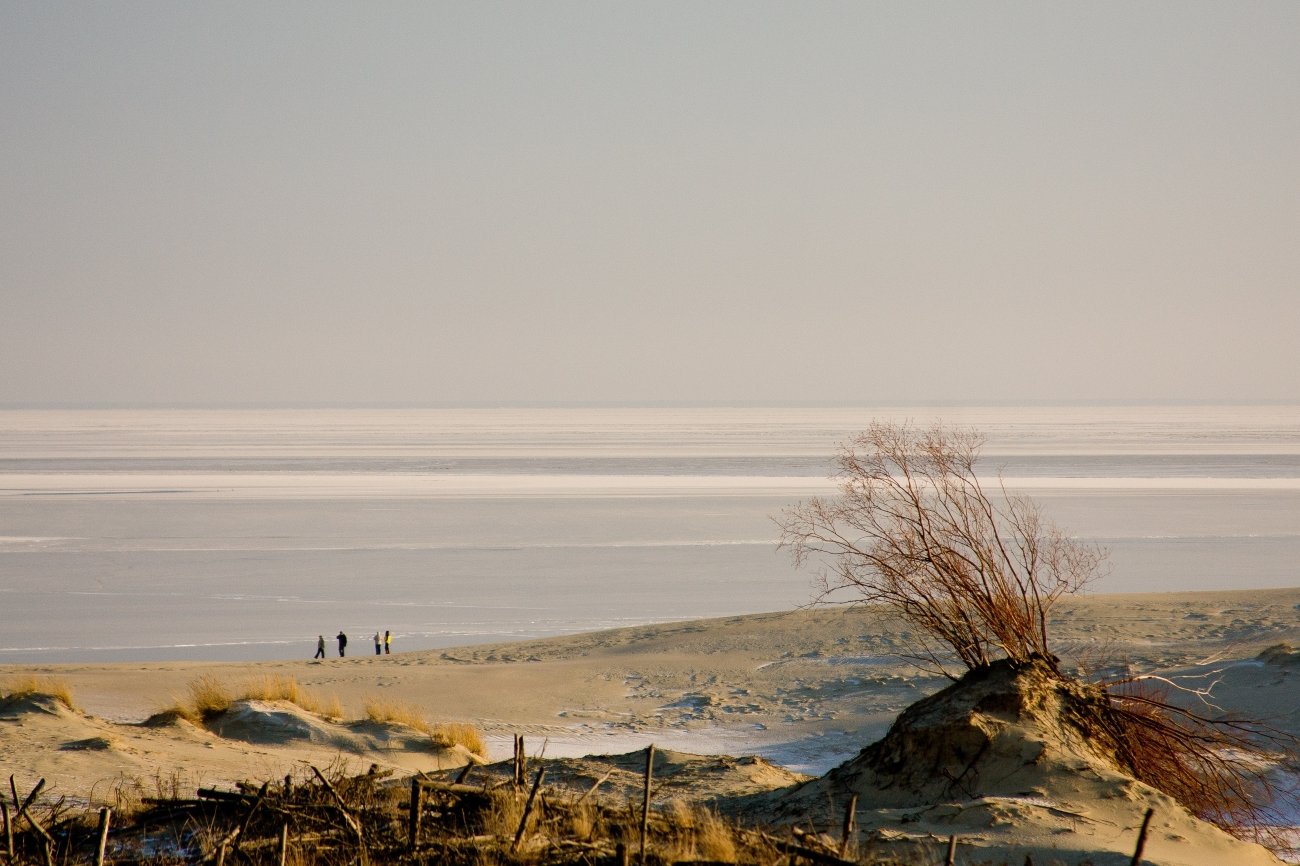
The Curonian Spit is a 98-km sand peninsula — the longest in Europe — that separates the Curonian Lagoon from the Baltic Sea. It is shared between Lithuania and Russia, UNESCO-inscribed since 2000, and home to dunes averaging 35 metres in height and reaching 60 in places: among the highest mobile dunes in Europe. They are mobile because they have always been mobile. Deforestation from the 16th century onward — timber for Prussian shipyards, grazing that stripped the ground cover — allowed the sand to shift, and between the 17th and 19th centuries the dunes buried fourteen villages entirely, forcing their populations to relocate and start over. The last village was abandoned in 1869. The Prussian government began systematic reforestation in 1825 to halt the advance; the pines and spruce of the spit are almost entirely planted, a managed forest holding back a dune system that would otherwise continue moving south.
The history of the Curonian Spit is a history of repeated displacement: Curonian and Latvian peoples were the original inhabitants; the Teutonic Knights arrived in the 13th century; the spit became part of Prussia, then imperial Germany, then the German territory of Memelland, then Lithuania in 1923, then Nazi Germany in 1939, then Soviet territory after 1945, when the entire German population was expelled and Russian place names replaced German ones on the Russian half. The Lithuanian half has reverted to its pre-war nomenclature; on the Russian side, Nida’s German name persists in Russian transliteration as Nida on some maps, but the village of Rossitten — site of the world’s first ornithological bird-ringing station, established 1901 — is now Rybachy.
In 1929, Thomas Mann was on holiday near Königsberg (now Kaliningrad) when he sailed to Nida and fell in love with the landscape. He had a traditional thatched summer house built on a hill above the lagoon in 1930 and spent the summers of 1930, 1931, and 1932 there; parts of Joseph and His Brothers were written in it. When the Nazis came to power in January 1933, Mann was already abroad. He never returned to Germany, or to Nida. The Nazis seized his summer house and used it as a Luftwaffe officers’ quarters. The house, now the Thomas Mann Memorial Museum (GPS: 55.303°N, 21.007°E), is the most literary address on the Baltic coast and receives visitors from across Europe — but almost none of the English-speaking travel industry has caught up with this.
Nida (GPS: 55.303°N, 21.003°E) is the main town: traditional Curonian fishermen’s houses with carved wooden weathervanes (krikštai), a small harbour on the lagoon, amber workshops, the Parnidis dune immediately south of town (52 m, granite sundial at the crest, hike 20 minutes from town centre). Juodkrantė (GPS: 55.561°N, 21.124°E), 30 km north, has a hill carved with Lithuanian mythological figures — witches, devils, giants — by a Soviet-era sculptor, which has become one of the Baltic’s more surreal outdoor exhibitions.
What to visit: Parnidis dune and sundial, Nida (GPS: 55.303°N, 21.003°E) — 20-minute walk from town; stay for sunset over the lagoon. Thomas Mann Memorial Museum, Nida (GPS: 55.303°N, 21.007°E) — open May–October. Juodkrantė Hill of Witches sculpture trail (GPS: 55.561°N, 21.124°E). The dead dunes at Nagliai nature reserve between Nida and Preila — where the sand continues to move through the planted forest, creating pale ghost-dune shapes in the treeline. Ferry to the spit from Smiltynė (GPS: 55.706°N, 21.123°E), a 5-minute crossing from Klaipėda. Base: Klaipėda (Lithuania’s main port, 2.5 hrs by bus from Vilnius; ferry from Kiel and Karlshamn). No cars permitted beyond Smiltynė without a special permit; cycling is the standard way to move along the spit.
→ The Lost Autumn Valleys of Europe covers the Lithuanian interior landscape; the Curonian Spit is the Baltic counterpart — the same autumn light, applied to dunes instead of hills. The Hidden Europe Map marks the Klaipėda ferry point, the spit’s key sites, and the Lithuanian–Russian border crossing at Nida.
Practical Notes Across All Five
When to go: Bovesia’s hill villages are accessible year-round; the Gallicianò festival runs in August. Costa Vicentina is best May–June and September–October — before summer crowds (modest as they are) and after, with the wildflowers out in spring and the Atlantic light at its best in autumn. Bohuslän’s rock carvings are extraordinary in low summer evening light (June–August); the Vitlycke Museum closes in winter. Costa da Morte is best September–October when Camino crowds have thinned and the Atlantic light begins its long autumn slant. Curonian Spit: May–September for cycling and dunes; Thomas Mann Museum open May–October; amber washes up most frequently after autumn Baltic storms.
Getting there: Bovesia — Reggio Calabria airport or train; hire car essential. Costa Vicentina — Faro (Algarve) or Lisbon airports; hire car useful, but Fishermen’s Trail sections are walkable without one. Bohuslän — Gothenburg airport; train to Uddevalla or Gothenburg, hire car for the sites. Costa da Morte — Santiago de Compostela airport; hire car essential. Curonian Spit — Klaipėda by bus from Vilnius or Riga; ferry to spit; bicycles for rent at Smiltynė.
Languages: English widely spoken in Bohuslän, Lithuanian resort areas, and along the Rota Vicentina. In Bovesia, minimal English — Italian useful. Costa da Morte: Galician and Spanish; English limited outside tourist points. Costa Vicentina: Portuguese and basic English in guesthouses; Galician-influenced Alentejo dialect in inland villages.
Five more lost coordinates — the mountain homelands, the border regions, the forgotten peoples of the European interior — in the Europe’s Missing Coordinates series.
Explore These Coordinates Further
→ Hidden Europe Map · Overland & Campervan in the Balkans · Autumn Photography in Europe
Detailed routes, GPS waypoints, seasonal guides, and the full map of Europe’s missing coordinates.