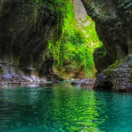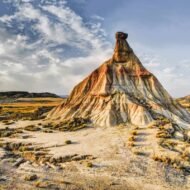


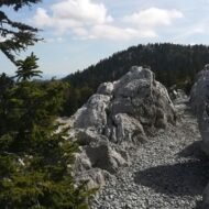
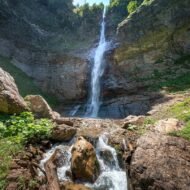
Behind the beaches of the Adriatic rises another Europe: a wall of limestone mountains 645 km long, with primeval forests, canyons over a kilometre deep, stone villages above the clouds and the last wild valleys of the Balkans. Five places, from Croatia to Albania, show you the Dinaric Alps.
Millions of people visit the Adriatic coast every summer. Very few turn around and look up. Right behind Dubrovnik, Split and the Bay of Kotor, the land rises steeply into the Dinaric Alps, one of the great mountain ranges of Europe and one of the least known.
The Dinarides run about 645 km from north-west to south-east, from the edge of the Julian Alps in Slovenia, through Croatia, Bosnia and Herzegovina, Serbia, Montenegro and Kosovo, to northern Albania. They are made mostly of limestone, and together they form the largest continuous karst landscape in Europe: a world of bare plateaus, sinkholes, caves, hidden rivers and deep gorges. In the north, the range is narrow and lower; in the south, it grows wild and high, reaching 2,694 m at Maja Jezercë in the Albanian Alps, the highest peak of the whole chain.
It is a landscape of borders and of survivors: shepherds who still take their flocks to summer pastures, villages cut off by snow for half the year, forests that have never been cut, and bears and wolves moving freely between countries.
This article is the starting point of our Dinaric Alps series: five places, each with its own full article, and one complete route guide.
→ Read more: Adriatic Coast: From Trieste to Albania
| Place | Country | Why go | |
|---|---|---|---|
| 1 | Northern Velebit | Croatia | A stone path built by hand along the wildest ridge of the Adriatic |
| 2 | Lukomir | Bosnia and Herzegovina | The highest village in Bosnia, on the edge of an 800-metre canyon |
| 3 | Sutjeska and Perućica | Bosnia and Herzegovina | One of Europe’s last primeval forests, under Bosnia’s highest peak |
| 4 | Durmitor | Montenegro | Glacial lakes, 48 peaks over 2,000 m and Europe’s deepest canyon |
| 5 | Theth | Albania | The Accursed Mountains, a lock-in tower and the pass to Valbona |
1. Northern Velebit, Croatia
44.81° N, 14.98° E · Zavižan, Lika-Senj
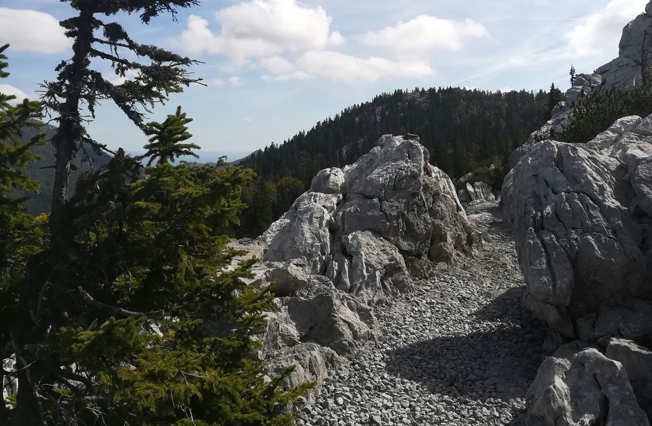
Velebit is the longest mountain range in Croatia, stretching about 145 km along the coast. From the sea, it looks bare and grey. On top, it is something else: beech forests, high meadows, and a wild labyrinth of limestone towers and sinkholes known as the Hajdučki and Rožanski kukovi. The whole range has been a UNESCO Biosphere Reserve since 1978, and its northern heart became the Northern Velebit National Park in 1999.
The best way to see it is on foot, along one of the great mountain paths of Europe. The Premužić Trail was built between 1930 and 1933 by the forestry engineer Ante Premužić, using the dry-stone technique. It runs about 57 km along the summit ridges, and because it was built with gentle gradients, walkers can reach some of the most rugged landscapes of the Dinarides without serious climbing.
In the Route Guide: the best day sections of the Premužić Trail, the Zavižan hut, the walk into the Rožanski kukovi, and multi-day options with mountain shelters.
When: June to September; snow can linger on the ridge into early summer. Weather on Northern Velebit: a harsh mountain climate where the Mediterranean meets the continent. The weather station at Zavižan, at 1,594 m, has a mean annual temperature of only about 3°C, records the most snow and fog of any station in Croatia, and has recorded snow cover in every month of the year. Sudden storms and fog are common, even in summer. Getting there: Zavižan is reached by a mountain road from the coast near Senj. The coast road and the nearest towns are about 2 to 2.5 hours from Zagreb.
2. Lukomir, Bosnia and Herzegovina
43.63° N, 18.20° E (approx.) · Bjelašnica, Konjic municipality
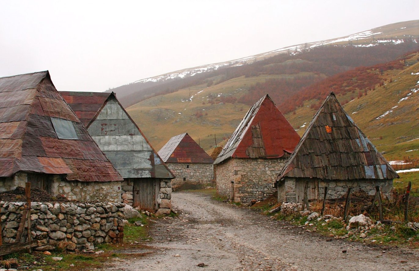
On a high shoulder of Bjelašnica mountain, south of Sarajevo, a cluster of small stone houses sits at the very edge of a cliff. This is Lukomir, at 1,495 m the highest village in Bosnia and Herzegovina, and one of the most remote.
Its houses, some of them up to 200 years old, are built of stone, with steep roofs of wooden shingles, often made of cherry wood. Medieval tombstones (stećci) from the 14th and 15th centuries stand beside the village, a sign that people have lived here for centuries. Below the last houses, the ground drops about 800 metres into the Rakitnica Canyon, one of the deepest in the country.
Lukomir is now lived in mainly in summer. From late spring to early autumn, families return with their sheep; in winter, the road disappears under snow and most of the houses are locked.
In the Route Guide: the drive over Bjelašnica, the walk from the village of Umoljani, the rim of the Rakitnica Canyon, and where to eat and stay on the mountain.
When: June to September. The road is usually closed by snow from late autumn to late spring. Weather at Lukomir: a cold mountain climate. In nearby Sarajevo, average highs are about 26°C in July and around 4°C in January, Lukomir, nearly 1,000 metres higher, is much cooler and windier. Higher up on Bjelašnica, at about 2,000 m, the average temperature ranges from about −6.5°C in January to 12°C in August. Getting there: about 1.5 hours by car from Sarajevo, via Bjelašnica, on a gravel road for the last section.
3. Sutjeska and Perućica, Bosnia and Herzegovina
43.35° N, 18.69° E (approx.) · Tjentište, near Foča
In the south-east of Bosnia, the Sutjeska River cuts a deep canyon between high mountains. Sutjeska National Park, established in 1962, is the oldest national park in Bosnia and Herzegovina, and it holds two great things.
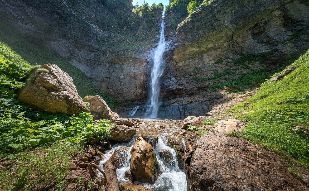
The first is Perućica: a strict nature reserve of about 1,400 hectares, protected since 1952, and one of the last two remaining primeval forests in Europe. Beech, fir and spruce grow here as they did before people ever cut a tree, and the Skakavac waterfall drops through the forest beneath the slopes of Maglić, at 2,386 m the highest peak in Bosnia and Herzegovina.
The second is memory. In 1943, the Battle of the Sutjeska was one of the bloodiest of the Second World War in Yugoslavia. At Tjentište, a huge concrete memorial remembers the fallen.
In the Route Guide: visiting Perućica (only with park rangers), the climb to Maglić and the Trnovačko lake, the Tjentište memorial, and the drive through the Sutjeska canyon.
When: June to September for the mountains, May and October for the forest. Weather at Sutjeska: a sharp contrast between the warm valley and the cold peaks. Summers are pleasant in the canyon, while Maglić can hold snow into early summer. Winters are cold and snowy. Getting there: about 30 km south of Foča, on the road towards Montenegro; around 2.5 hours by car from Sarajevo.
4. Durmitor, Montenegro
43.15° N, 19.12° E · Žabljak
Durmitor is the best-known mountain of the Dinarides, and still one of its wildest. A national park since 1952 and a UNESCO World Heritage Site since 1980, it is a high limestone plateau crowned by 48 peaks over 2,000 m, the highest being Bobotov Kuk at 2,523 m.
Across the plateau lie 18 glacial lakes, known as gorske oči, “mountain eyes”. The most famous, the Black Lake, is an easy walk from the little mountain town of Žabljak. To the north, the Tara River has carved a canyon up to about 1,300 metres deep, often called the deepest in Europe.
Durmitor already has its own full article on The Wanders.
→ Read more: Durmitor National Park
In winter, the same mountains become Montenegro’s main ski area: see our Durmitor Ski Resort guide.
→ Read more: Durmitor Ski Resort
In the Route Guide: the climb to Bobotov Kuk, the Black Lake loop, the Đurđevića Tara bridge, rafting the Tara, and the Durmitor ring road.
When: June to September for hiking, December to March for snow. Weather in Žabljak: a cold mountain climate at about 1,450 m. Summers are cool, with highs around 20–22°C in July and August; winters are long and snowy, with highs around or below freezing in January. Getting there: about 2.5 hours by car from Podgorica.
5. Theth, Albania
42.40° N, 19.77° E (approx.) · Albanian Alps, Shkodër County
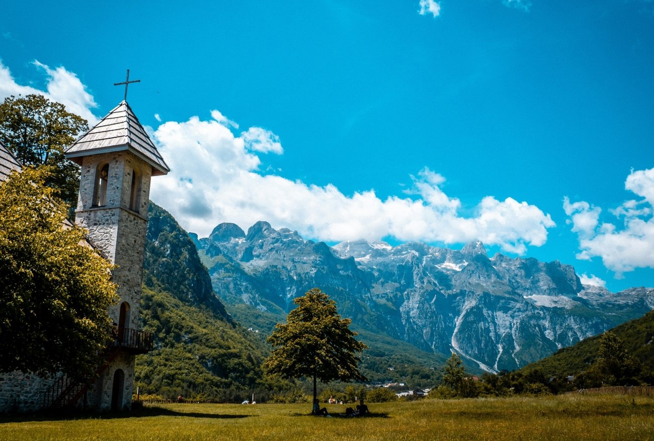
At the southern end of the Dinarides rise their highest and most dramatic mountains: the Accursed Mountains (Bjeshkët e Nemuna in Albanian, Prokletije in Montenegro), shared by Albania, Montenegro and Kosovo. Here stands Maja Jezercë, at 2,694 m the highest peak of the whole Dinaric chain.
In a deep valley among these peaks lies Theth, a scattered village of stone houses, a small church, waterfalls and guesthouses. For centuries, life here followed the Kanun, the old customary law of northern Albania. Its most striking relic is the lock-in tower (Kulla e Ngujimit), a stone tower where a man caught in a blood feud could take refuge. It is now a small museum.
From Theth, a classic mountain path climbs over the Valbona Pass, at about 1,795 m, to the neighbouring valley of Valbona: one of the finest one-day mountain crossings in Europe.
In the Route Guide: the Theth to Valbona crossing, the Blue Eye and the Grunas waterfall, the Lake Komani ferry, and the best guesthouses in both valleys.
When: June to September. The Valbona Pass is usually free of snow from about June to mid-October. Weather in Theth: a mountain climate: warm summer days and cool nights in the valley, much colder on the pass. Heavy snow can make the road difficult until spring, and most guesthouses open only from about May to October. Getting there: from Shkodër, on a mountain road that has recently been paved.
The route
The five places follow the Dinarides from north to south:
- Northern Velebit, from the Croatian coast
- Inland to Sarajevo and up to Lukomir
- South-east to Sutjeska, via Foča
- Across the border into Montenegro, to Durmitor
- Through Podgorica and Shkodër to Theth
It is a journey of about 10 to 14 days, crossing four countries. Only Croatia is in the EU and the Schengen area, so expect border checks, and make sure your car insurance covers every country on the way.
Beyond the map
Most of Europe’s mountains have been tamed: roads to every pass, lifts to every summit. The Dinaric Alps have not. Here, the road still ends in gravel, the village is empty in winter, the forest has never been cut, and the shepherd still walks up to the summer pasture. It is the wild Europe that many people think no longer exists.
The Dinaric Alps — a Beyond the Map Route Guide
[The Dinaric Alps — The Beyond the Map Route Guide]
Our complete guide to the wild mountains between the Adriatic and the Balkans:
- The five places in detail, with hikes, access notes and the best times to go
- A 10–14 day route through Croatia, Bosnia and Herzegovina, Montenegro and Albania, with alternatives for shorter trips
- Day hikes and multi-day treks, including the Premužić Trail and the Theth–Valbona crossing
- Border crossings, roads and car hire across four countries
- Mountain huts, guesthouses and village stays
- Hidden extras: Prenj, Čvrsnica, the Rugova valley and the Komovi
- Offline maps and GPS points for every place
→ [Get the Route Guide]
Read next: Durmitor National Park · Durmitor Ski Resort · Adriatic Coast: From Trieste to Albania · The Balkans in December · Peaks Beyond the Crowds
Explore more: Europe’s Most Beautiful, Beyond the Map · Overland Balkans map