
Autumn travel is not always about the destination. Sometimes it is about the specific quality of an experience — the way a lake looks in October morning light, the smell of a subtropical fruit market at the edge of a country you didn’t know had subtropical fruit, the view from a lighthouse that is the highest in northern Germany despite being one of the smallest towers on the coast.
These five have almost nothing in common except October. A kayak lake in a Serbian national park where the forest is at its most complete in the third week of the month. A Latvian castle town above a sandstone valley that the guidebooks call the Switzerland of Latvia. The southernmost town in Armenia, on the Iranian border, where pomegranates ripen in October and the churches have Persian-style frescoes that exist nowhere else in the country. The longest road in Moldova, running 370km through forest and wine country and a cave monastery carved into a limestone cliff. A lighthouse on a hill in Mecklenburg that is the smallest tower and the highest light in northern Germany simultaneously.
Five countries. Five different reasons to go. One season that makes each of them specific.
01. Zaovine, Tara National Park, Serbia
The kayak lake at 900 metres — and the forest in the third week of October
Location: Zaovine · Tara National Park · western Serbia GPS (Lake Zaovine shore): 43.8934°N · 19.3634°E GPS (Mitrovac visitors centre): 43.9189°N · 19.4012°E Best month: October 5–25 Distance from Belgrade: 180km · approx 2h 30m by car
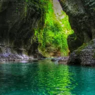
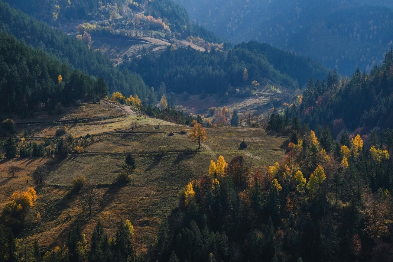
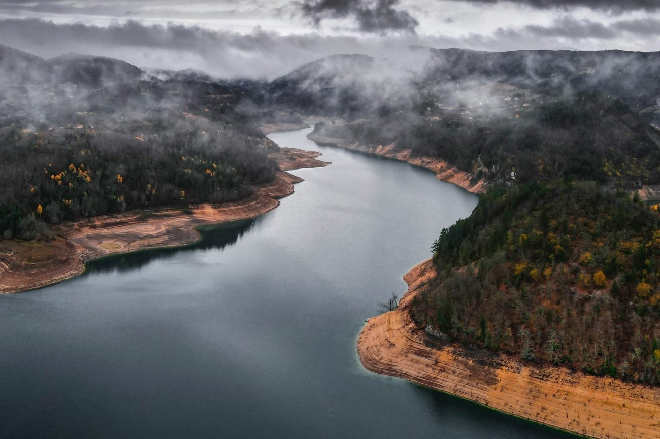
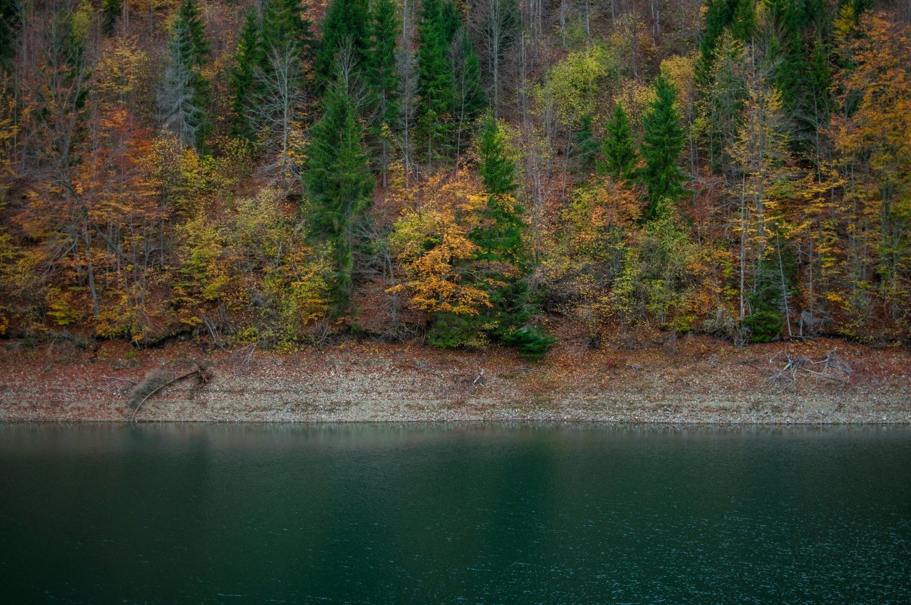
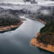
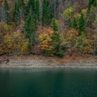
The Zaovine Lake looks like it used to belong to some emerald sea, but ended up out of place, landlocked in the stunning slopes of the Tara Mountain National Park in Serbia. The lake is artificial — created between 1981 and 1983 as part of the Bajina Bašta II reversible hydro power plant project. The maximum depth is 110 metres, and the water quality is such that it doesn’t require full industrial purification. It sits at 900 metres above sea level in the Tara massif, and from the shore the surrounding forest — dense, mixed, the Tara spruce (Pančić’s spruce, a species found only on this mountain) among the oak and beech — rises in every direction.
With 220 square kilometres of forested slopes, dramatic ravines and jewel-like waterways, Tara is scenic Serbia at its best. The park’s main attraction is the vertigo-inducing Drina River canyon, the third largest of its kind in the world. The two lakes, Perućac and Zaovine, are ideal for calm-water kayaking.
The kayaking is the specific outdoor activity that Zaovine offers and that most visitors to Serbia have no idea exists. Alongside its parent river Beli Rzav and the mighty Drina, Zaovine Lake offers some of the best remote kayaking spots in this part of Europe. The kayak ride begins on the lake and offers stunning views towards the hills and hard-to-reach spots of Tara. The Mitrovac visitors centre has kayak rental. The lake in October is calm in the mornings before the afternoon wind arrives, and the colour that the surrounding forest produces in the third and fourth weeks of October — the beech turning copper above the treeline, the reflection of the colour in the lake — is the photograph that the lake produces at maximum capacity.
The Drina extension: the kayak tour can continue from the lake down the Beli Rzav river to the Drina itself, where the Little House on the Drina — a wooden cabin built by a group of friends on a small rock mid-river that became one of the most photographed structures in Serbia — is visible from the water. This extension takes a full day and requires arranging return transport from Bajina Bašta.
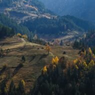
The Tara forest: in autumn, the surrounding forests transform into a vibrant tapestry of colours, creating a picturesque backdrop for hiking and photography. The marked trails from the Mitrovac centre connect to viewpoints above the canyon that in October deliver the specific Drina valley in colour — the river green 1,000 metres below, the canyon walls orange and copper above it.
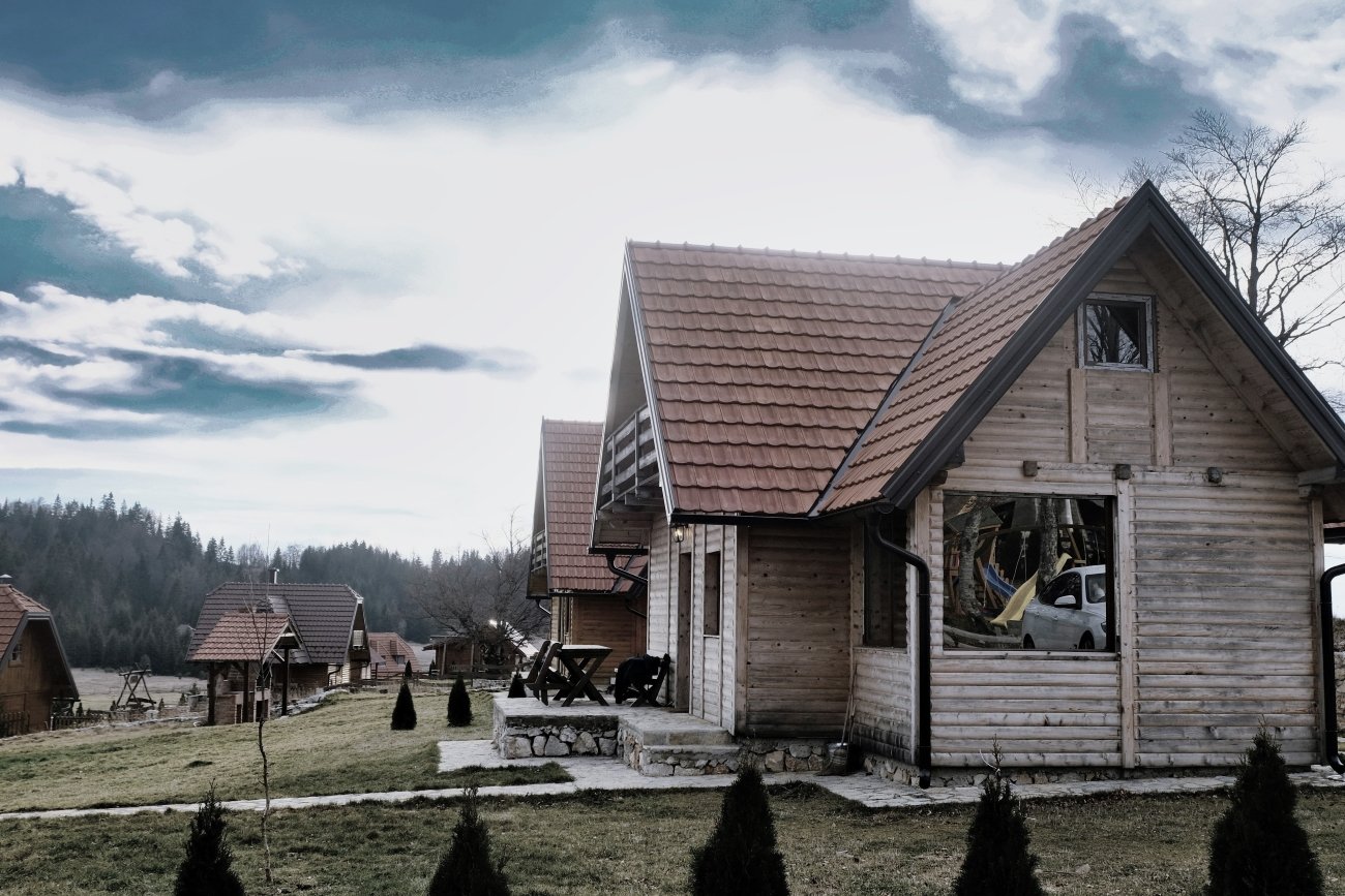
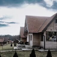
Accommodation around the lake is in traditional mountain houses and small guesthouses — the Brvnare Nagramak, the Planinska kuća Tara. October prices are significantly below the Serbian summer season.
What to look for specifically: Morning kayak on the lake before the wind arrives · the Drina Little House from the water · the Mitrovac canyon viewpoint in afternoon October light · Pančić’s spruce — the endemic tree found only on Tara, pointed out by the park rangers · kajmak (local cream cheese) and smoked meats from the village guesthouses
02. Sigulda, Latvia
The castle town above the sandstone valley — the Baltic colour in the third week of October
Location: Sigulda · Gauja National Park · Vidzeme · Latvia GPS (Sigulda castle, new and old): 57.1534°N · 24.8634°E GPS (Gutmanis Cave, Gauja valley): 57.1778°N · 24.8423°E Best month: October 10–25 Distance from Riga: 53km · 45 min by car · regular train service
Sigulda is situated on both banks of the ancient valley of the Gauja River and is known as the Switzerland of Latvia. A great part of the Sigulda area includes Gauja National Park, established in 1973 to protect flora and fauna biodiversity.
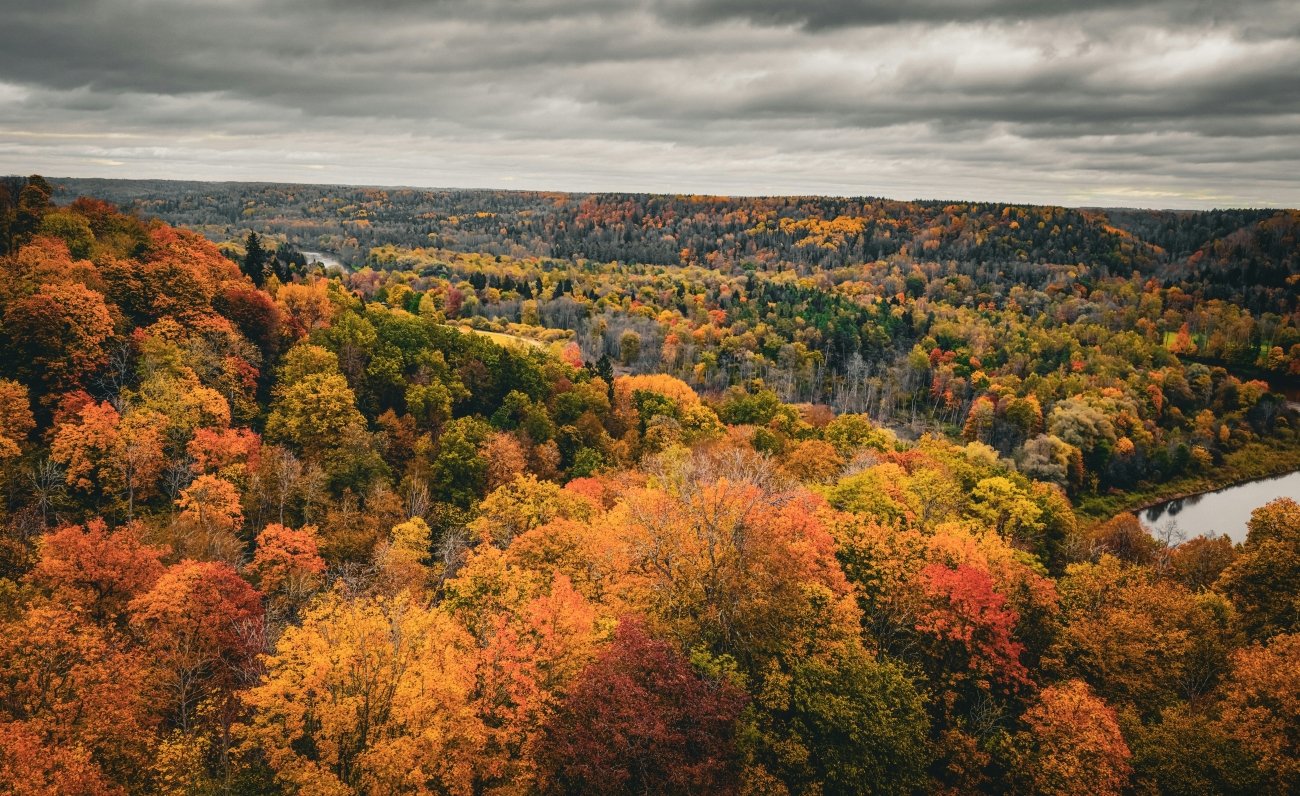
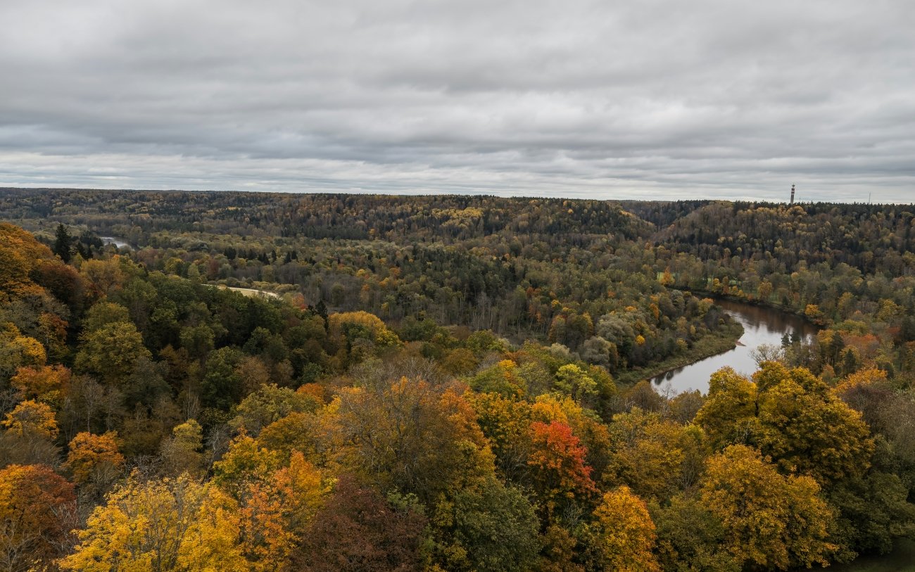
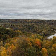
The comparison to Switzerland is about the topography rather than the scale. The Gauja River has cut through the red and yellow sandstone of the Vidzeme upland over thousands of years, leaving a valley that in a country as flat as Latvia is startling — steep, forested banks dropping 50 metres to the river below, the sandstone cliffs visible through the birch and oak that cover the valley walls. Latvia’s landscape is predominantly level farmland and birch forest. The Gauja valley is the exception: a sudden depth in the plateau that the national park protects and that in October fills with colour.
The sandstone river valley carved up with cliffs and caves includes the famous Gutmanis Cave — a magical world under an hour from Riga. Gutmanis Cave is the largest cave in the Baltic states — modest by any international standard but extraordinary for Latvia, its walls covered in names carved by visitors over four centuries. The oldest inscriptions date to the 16th century. The cave is in the valley floor, accessible on foot from the suspension bridge above the Gauja or by trail from Sigulda station.
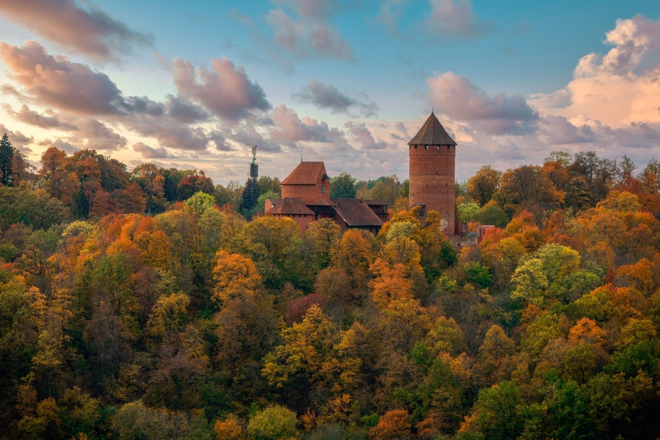
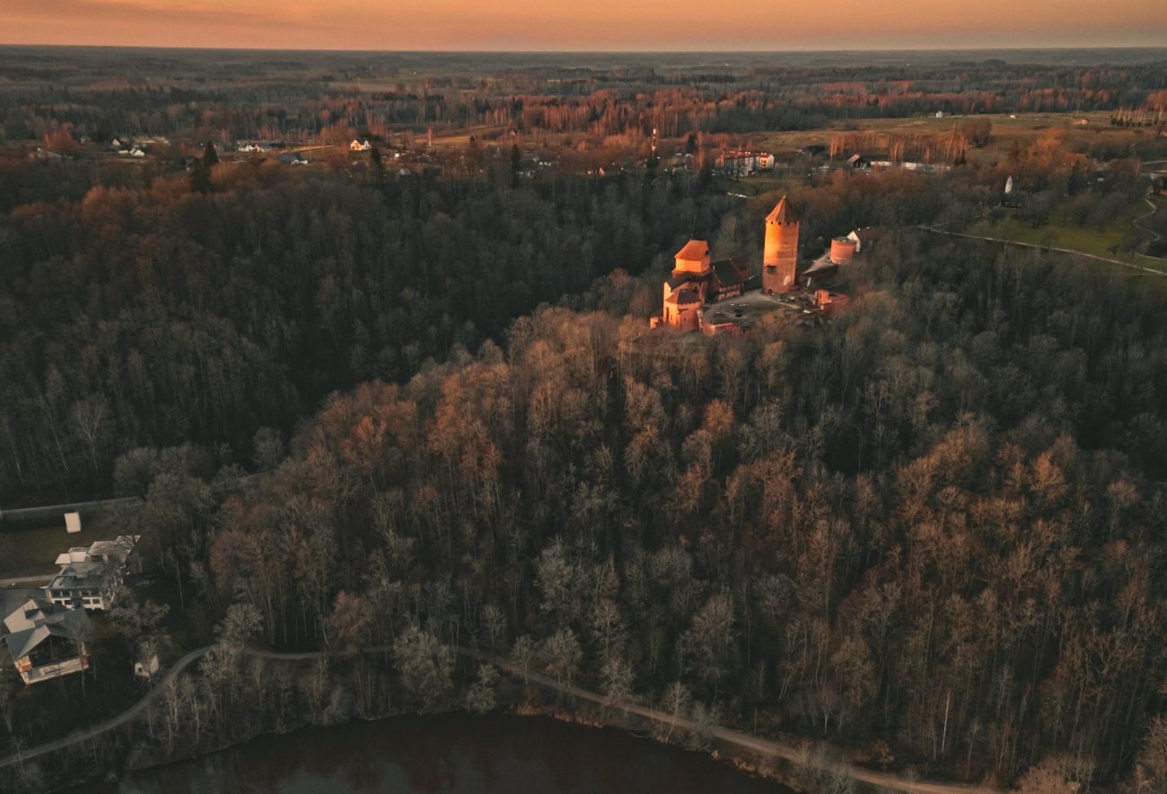
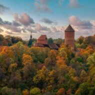
Turaida Castle — red brick, 13th-century Livonian Order, on the ridge above the valley on the north bank — gives the most complete view of the valley from above in October. The birch and maple on the valley walls turn in the third week of October, the specific Baltic palette of pale yellow and copper and rust that the Gauja produces at this moment and that the summer green entirely conceals. The cable car across the valley, connecting the two castle banks, gives the October colour from above: the valley in full colour, the river glimpsed through the canopy 50 metres below.
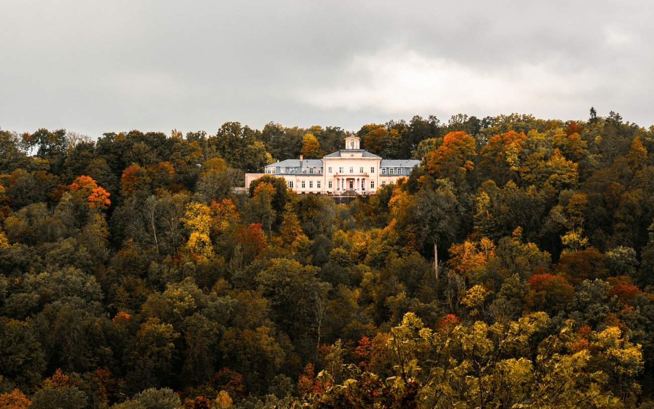
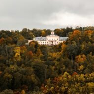
Sigulda is also Latvia’s bobsled venue — the track built for the 1987 World Championship is still operating and offers tourist runs in winter. In October it is quiet. The town itself is small, with the medieval castle ruins, the 19th-century Sigulda New Castle (now the local government building), and the walk between them through the park in October colour.
What to look for specifically: Gutmanis Cave and the 16th-century inscriptions · Turaida Castle from the valley below · the cable car crossing in October colour · the suspension bridge over the Gauja at dawn · the bobsled track (visit even off-season — the engineering is specific) · the walk from Sigulda station to the valley on the marked trail
03. Meghri, Armenia
The pomegranate town on the Iranian border — where the churches have Persian frescoes
Location: Meghri · Syunik Province · southern Armenia GPS (town centre): 38.9123°N · 46.2334°E GPS (Surb Hovhannes Church, upper town): 38.9145°N · 46.2356°E Best month: October · the pomegranate and persimmon harvest Distance from Yerevan: 373km · approx 5h by car Nearest border: Iran · Araks River · 5km
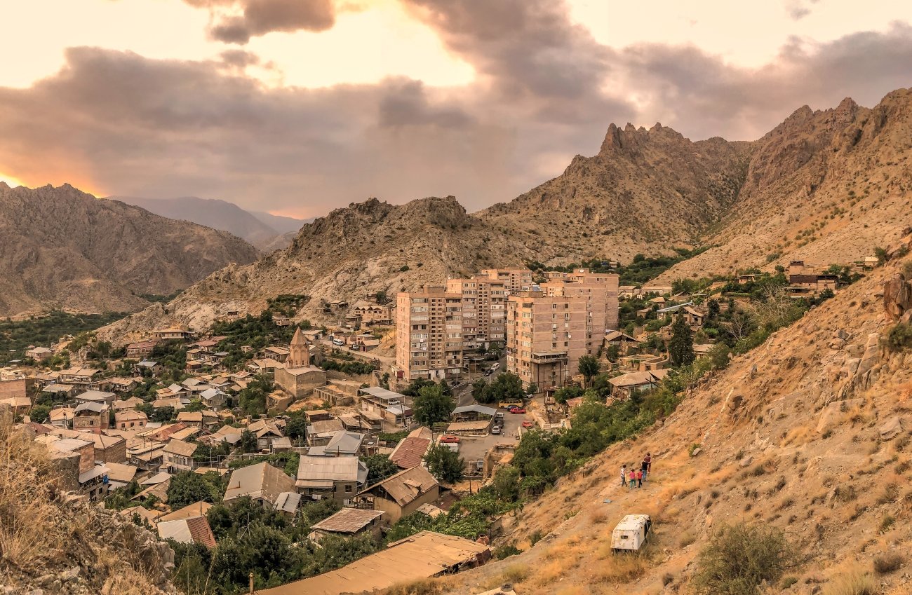
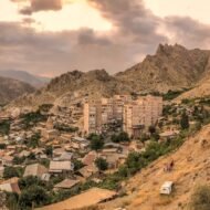
One of the most fascinating cities in Armenia is the town of Meghri. Situated on the Iranian frontier 230 miles from Yerevan, in the southern extremity of Armenia’s historic Syunik province, Meghri is a town of 4,600 people. The temperature in the south becomes warmer and subtropical.
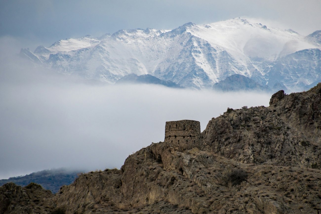
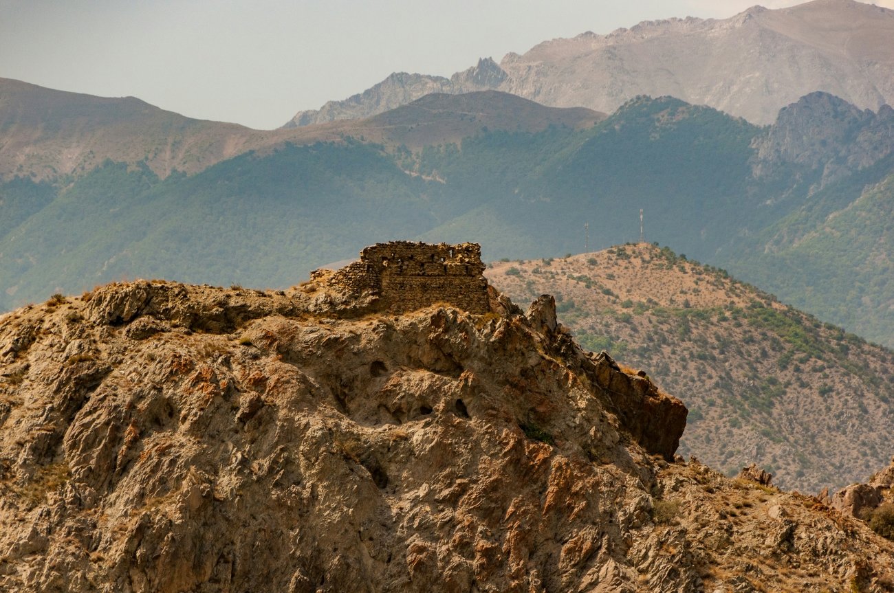
Meghri means honey town in Armenian. The area has been settled since the Bronze Age. Meghri was founded as Karchavan in 906 by King Smbat I of Armenia. At an average height of 610 metres above sea level, it is near the Armenia-Iran border, on the shores of Meghri River, dominated by Zangezur Mountains from the northeast and Meghri range from the southwest.
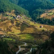
The subtropical microclimate is the first surprise. Armenia is a highland country — most of it sits above 1,500m, cold in October. Meghri at 610m, sheltered by the Zangezur range, produces a climate that the rest of the country cannot replicate. In Meghri, one can find the pomegranate, considered to be one of the country’s national symbols. Lately, in addition to traditional fruits, people of Meghri started to cultivate subtropical fruits such as persimmon, olive and kiwi. The October market in Meghri — pomegranates, figs, persimmons, fresh olives — is the only market in Armenia that sells these things from local production.
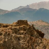
The churches are the specific reason that distinguishes Meghri from any other Armenian border town. Meghri’s churches are distinguished in Armenia for their brick exteriors and their elaborate interiors covered in old Persian-style frescoes — unusual as Armenians typically do not decorate their churches with such frescoes. From the church, one can see an entire panorama of Meghri plus the stunning arid mountains just across the border in Iran. The three churches — Surb Hovhannes, Surb Astvatsatsin and Surb Sargis — date from the 17th century and carry the decorative influence of the Safavid Persian culture that controlled this region for more than a century before the Russian period. The frescoes are not in the standard Armenian ecclesiastical style. They are in the Persian style. They are unique in Armenia.
Meghri is literally beyond most people’s field of vision. You can see everything in Armenia here — if it is the desire to see all of Armenia in one compact area that brings you, you will come again and again.
The road from Yerevan to Meghri follows the Vorotan and Araks gorges through some of the most dramatic road scenery in the South Caucasus. The drive is the journey — the canyon walls above Goris, the descent into the subtropical Araks valley, the sudden warmth. Meghri is not a detour. It is the end of the road.
What to look for specifically: The Persian-style frescoes in Surb Hovhannes church · the October fruit market · the view of Iran across the Araks from the upper town · the Araks river walk at the border · Agarak border crossing (confirm current status) · the drive south from Goris through the Vorotan canyon · local pomegranate wine from Meghri producers
04. The M5 Road, Moldova
The longest road in the country — 370km through forest, wine country and a cave monastery
Location: M5 highway (CIS designation M14) · Republic of Moldova GPS (Orheiul Vechi cave monastery): 47.4134°N · 28.9734°E GPS (Codri Natural Reserve entry): 47.0534°N · 28.5234°E Best month: September–October · the harvest and the forest colour Length: 370km north to south · crosses the full country
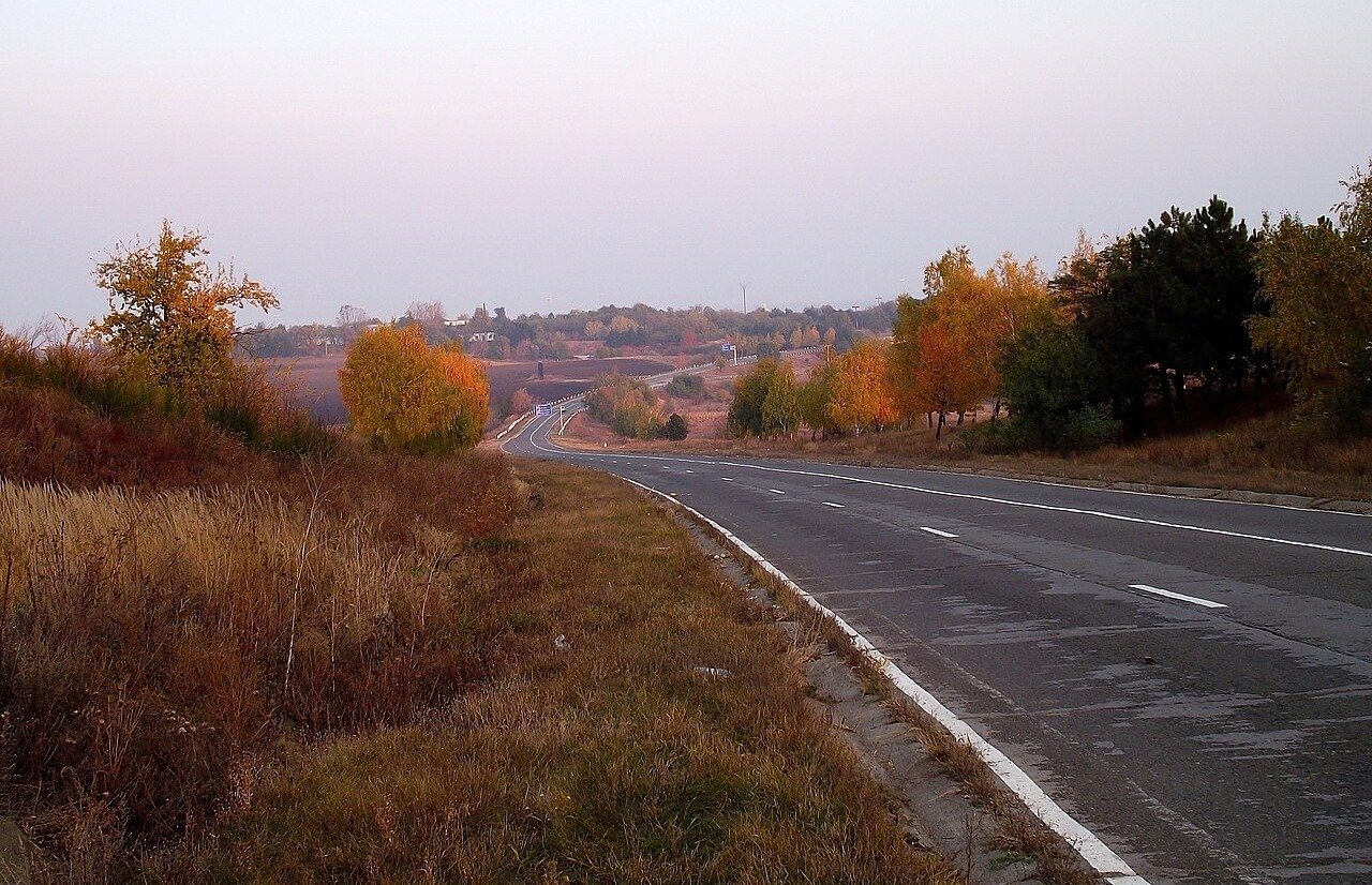
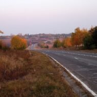
The M5 (M14 CIS) is the longest Moldovan road, at 370km, crossing Moldova on the north-south reference. It is not a motorway. It is a national road — two lanes, winding through the rolling hills and oak forest of the Moldovan interior — and it connects the country from its northern reaches near Soroca to the southern border, passing through or near most of what Moldova offers the travelling visitor.
Moldova is the least-visited country in Europe and one of the least-written-about. It sits between Romania and Ukraine, landlocked, with a wine tradition that puts it among the highest per-capita wine producers in the world and a landscape of rolling hills, river gorges and village life that October turns in the specific way of a country that takes its seasons seriously.
Autumn is particularly special as it coincides with the grape harvest and wine festivals. The Moldovan wine season runs through September and October, the vineyards that cover the hillsides along the M5 route at their most active and most visually specific — the colour descending through the vine leaves as the month progresses.
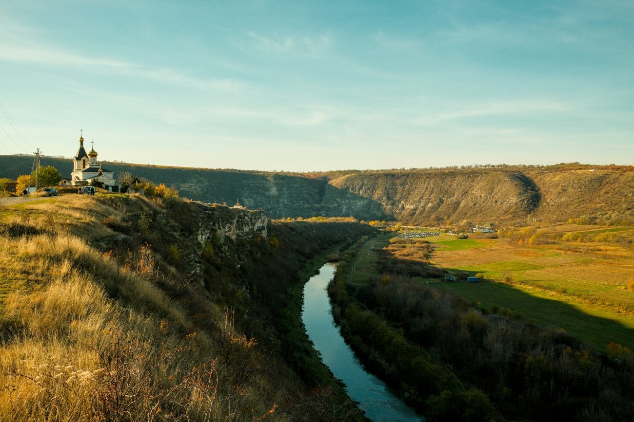
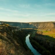
The M5 road passes within reach of the two sites that make a Moldovan journey worth understanding. The first is Orheiul Vechi — the Old Orhei — 60km northeast of Chișinău off the main road: a complex of cave monasteries carved into limestone cliffs above the Răut River, inhabited since the Neolithic period and continuously used as a monastery site since the 13th century. The limestone and shell cliffs where the monastery is located are spectacular. Entering the 600-year-old cave monastery, the air immediately becomes hot and humid and gives the cave a feeling of mystery. In October the surrounding plateau is in the oak and ash colour that the Moldovan codrii (the indigenous forest) produces in the second week of the month.
The second is Cricova and Mileștii Mici — the underground wine cities. Moldova’s major wine producers operate in former limestone quarries that extend for kilometres underground, temperature-stable at 12°C year-round, now containing millions of bottles. Mileștii Mici is known for the scale of its bottle collection and its underground galleries. The Cricova winery city has its own underground road network. A guided tour of either is the most specific wine experience available in Europe and bears no resemblance to a standard winery visit.
The Codru Natural Reserve — the last significant area of the original Moldovan forest that once covered the plateau — is accessible from the M5 road. Autumn (September–October) is an ideal time to hike in Moldova to view the changing colours of the leaves in the forests and in the vineyards.
What to look for specifically: The Orheiul Vechi cave monastery at dawn · Cricova underground wine city tour (book ahead) · the Codru forest walks in October colour · the Răut gorge above Old Orhei · the village guesthouses along the route · the Curchi Monastery complex near Orhei · the Dniester riverside at Soroca with its fortress
05. Bastorf Lighthouse, Germany
The smallest tower and the highest light in northern Germany — on a hill above the Baltic
Location: Bastorf · Landkreis Rostock · Mecklenburg-Vorpommern · Germany GPS (lighthouse, Signalberg hill): 54.1320°N · 11.6936°E Best month: October · Baltic storm season begins · the beech forest below in colour Distance from Rostock: 30km · 35 min by car Distance from Kühlungsborn: 5km · accessible by bicycle or on foot
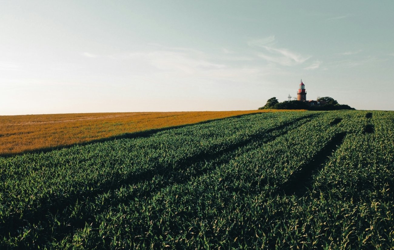
The Buk Lighthouse possesses a unique characteristic: at only 20.8 metres tall, it is one of Germany’s shortest lighthouses, yet it stands atop the 78.8-metre-high Bastorf Signalberg. Consequently, the tower, built in 1878, boasts a focal height of 95.3 metres, making it the highest lighthouse in Northern Germany — even surpassing the Dornbusch Lighthouse on the island of Hiddensee.
This is the specific fact about Bastorf: the tower is tiny — a red-brick cylinder barely taller than a house — and the light it carries is technically the highest in all of northern Germany. The explanation is the hill. The Bastorf Signalberg is a glacial end moraine, the westernmost marker of the Kühlung ridge, rising 78 metres above the surrounding Baltic coast. The lighthouse sits on top of it. The combined height of 95.3 metres makes it, by focal height, the tallest coastal lighthouse in northern Germany. The contradiction between the visible modesty of the tower and its actual range is the specific thing that the Bastorf lighthouse offers: a monument to the fact that position matters more than size.
After some dangerous incidents in the western part of the Baltic Sea, the necessity to erect an additional lighthouse between Lübeck and Darsser Ort led to construction starting in 1876. The lighthouse started operation in 1878, fired with petroleum. In 1912 the fire was changed to electric power as one of the first lighthouses in Germany. <cite index=”23-1″>Although the tower was classified as a restricted military site during the GDR era, it has been open to the public again since 1990 and now serves as a viewpoint and radio station. Today, the red-brick ensemble is a protected monument maintained by the Baltic Sea Waterways and Shipping Office.
It is also possible to rent the former dwelling of the lighthouse keeper as a holiday home, to get an impression of the life of a lighthouse keeper. The keeper’s dwelling — a red-brick house in the style of the lighthouse itself, sitting beside the tower on the Signalberg — is available as self-catering accommodation through the Bastorf municipality. Staying in a lighthouse keeper’s house on a hill above the Baltic in October — the storm season beginning, the beech forest below the hill in full colour, the light still rotating above the tower — is the experience Bastorf offers and that the Baltic coast’s beach-season marketing does not mention.
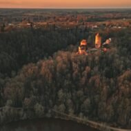
The view from the Signalberg on a clear October day: the bay of Wismar to the east, Rostock and Warnemünde visible in the distance, the beech forest of the Kühlung ridge below in copper and gold. The Sandbank Hannibal — the navigational hazard in the entrance to Wismar Bay that the lighthouse specifically warns against — is not visible from the hill, but the extent of the bay is, and the Baltic in October, with the first autumn storms building the waves, is the sea in the condition that built the case for the lighthouse in the first place.
What to look for specifically: The view from the Signalberg across Wismar Bay · the lighthouse keeper’s house rental (book at leuchtturm-bastorf.de) · the beech forest walk below the hill in October colour · the cycle route from Kühlungsborn along the coast · the Mecklenburg Resort Railway Molli — the narrow-gauge steam train between Bad Doberan and Kühlungsborn · Kühlungsborn beach in October (the Baltic storm waves; the resort entirely empty)
What October does to each of them
The emerald lake at Zaovine in the Serbian national park, the forest at colour peak, a kayak on the water before the wind arrives. The Gauja sandstone valley above Sigulda, the birch and maple on the valley walls in the third week of October, the 16th-century names carved in a cave. The pomegranate market in Meghri at the edge of Armenia, the Persian frescoes in the brick churches, the Iranian mountains across the Araks. The longest road in Moldova threading through forest and wine country and a cave monastery carved into a limestone cliff. The smallest lighthouse in Germany, on the tallest hill on the northern coast, in the first weeks of the Baltic storm season.
Five experiences. Five countries. The specific version of each that October produces.
→ From The Wanders Beyond the Map seasonal series
Three paid guides that go deeper into the territories covered here:
Autumn in the Balkans — The Beyond the Map Seasonal Guide The complete Balkans autumn guide — Serbia, Slovenia, Croatia, Romania, Bulgaria and beyond. GPS atlas, photography guide, village-by-village depth.
Autumn Photography in Europe — The Beyond the Map Premium Guide 100 confirmed photography locations across 20 countries. 175 GPS coordinates. The specific light windows, technical starting points and hidden positions. 80 pages.
Europe in Autumn — The Beyond the Map Guide The complete editorial atlas of European autumn — the seasonal intelligence for the continent, country by country, region by region, week by week.