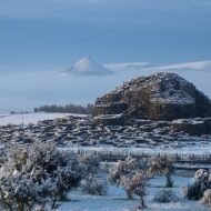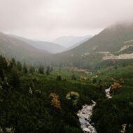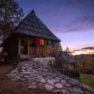
There is a category of European railway that the travel industry has not yet found a way to package. Not the Glacier Express. Not the Bernina. Not the routes that appear in anniversary editions of luxury train magazines alongside photographs of white tablecloths.
- 1. Bieszczady Forest Railway, Poland — The Wilderness That Was a Village
- 2. Rhodope Railway, Bulgaria — The Figure-Eight Built by Conscripts
- 3. Sauschwänzlebahn, Germany — The Military Spiral That NATO Rebuilt
- 4. Vía Verde de la Val de Zafán, Spain — The Railway Built by Prisoners
- 5. Vaser Valley Railway, Romania — The Timber Train That Refused to Stop
- What These Lines Have in Common
These five lines run through valleys where the railway was the only reason the valley was accessible at all — and in some cases still is. One carries timber out of a mountain valley with no roads. One was built using political prisoners after a civil war and inaugurated as a propaganda ceremony. One exists because NATO needed a strategic bypass route during the Cold War and funded its reconstruction accordingly. One passes through villages that no longer exist, on land that was emptied by force, and the forest you see from the window is eighty years of secondary growth on what used to be someone’s farm.
The trains run. The platforms are empty. The history is still there in the landscape if you know where to look.
1. Bieszczady Forest Railway, Poland — The Wilderness That Was a Village
GPS (Majdan station): 49.2058°N, 22.2987°E — Gauge: 750 mm
The Bieszczady mountains in southeastern Poland are presented, consistently, as one of the last great wildernesses in Central Europe. The tourist literature describes old-growth forest, wolf and bison, trails unmarked enough to get lost on. This is accurate. It is also incomplete.
The forest is eighty years old. Before 1947, it was farmland.
Operation Vistula ran from 28 April to 31 July 1947. Polish Communist forces deported between 141,000 and 150,000 Boyko, Lemko, and Ukrainian civilians from the Bieszczady region — the entire remaining population of the mountain villages — to the newly annexed western territories of Poland. The villages were burned or left to collapse. The fields reverted to scrub, then to secondary forest, then to the wilderness that appears in the tourist brochures today.
The Bieszczady Forest Railway predates Operation Vistula by fifty years. It was built in the 1890s to serve the logging industry of a populated mountain region. The German occupation regauged it from 760 mm to 750 mm in 1942. After the deportations, it became a line running through emptiness — the villages it had served no longer existed.
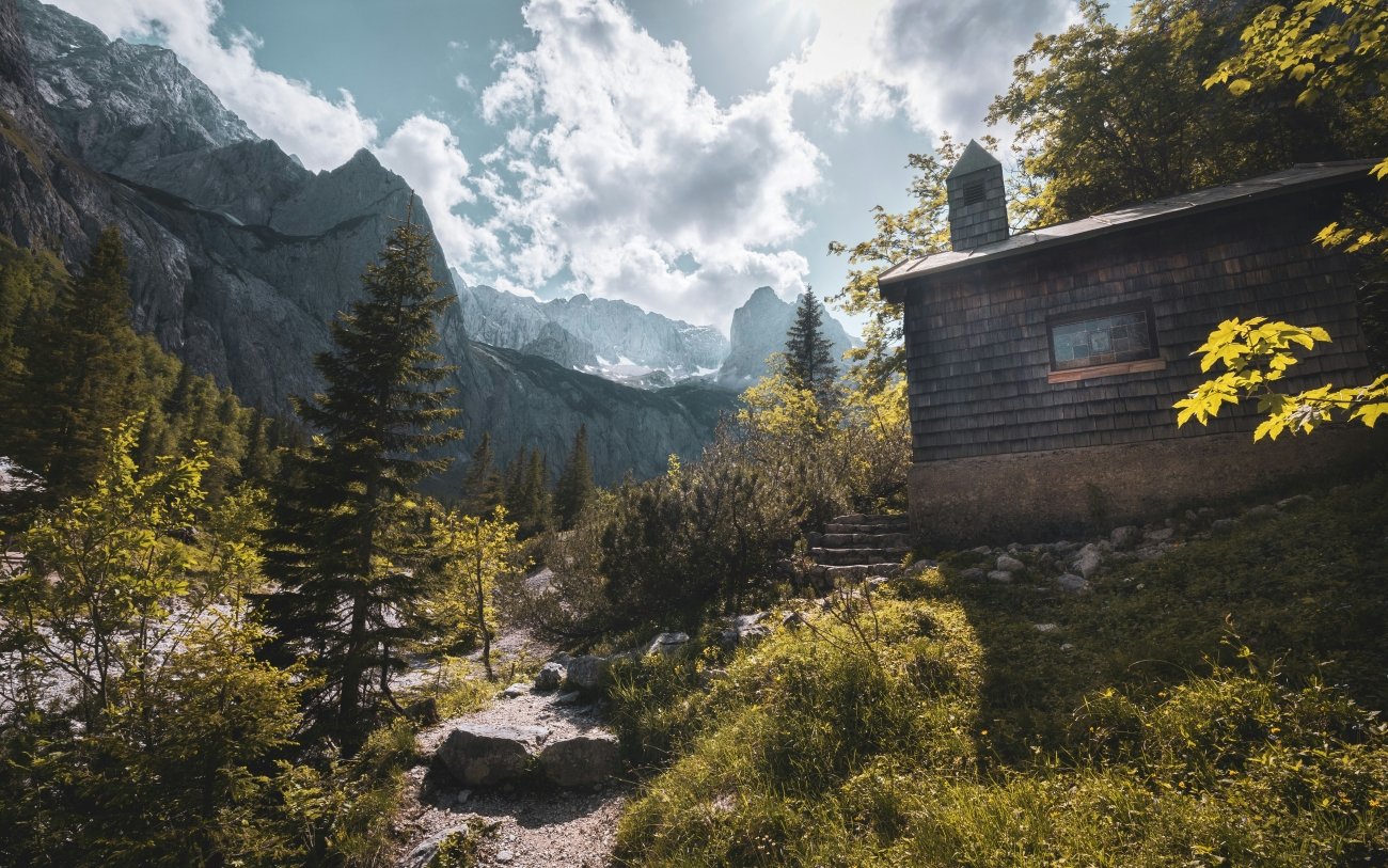
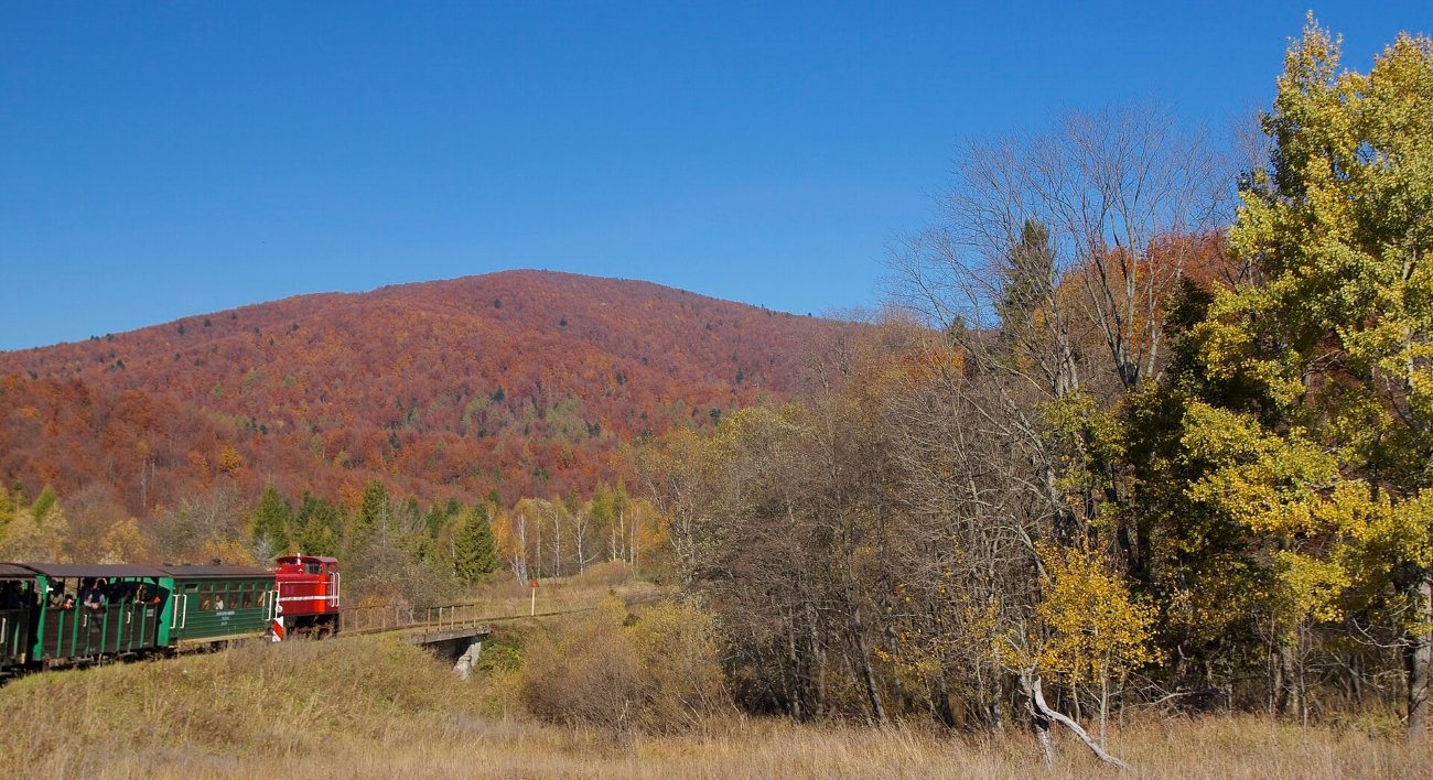
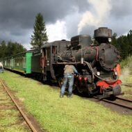
Today it operates as a tourist railway on two routes from Majdan: to Balnica (9 km) and to Przysłup (11 km), weekends May through October, weekdays in July and August, steam on Fridays in summer. The journey passes through beech and fir forest that would, before 1947, have passed through settled farmland.
Sianki — one of the deported villages — had its own station on this line. The station is gone. What remains at the site is a cemetery and foundations.
Access: Majdan station is the operating base. From Lesko (the nearest sizeable town), approximately 45 km by road into the Bieszczady. No direct public transport to Majdan; car or taxi required. The railway’s website publishes seasonal timetables.
What to combine it with: The abandoned village sites — Krywe, Tworylne, Łopienka, Sianki — are accessible by foot or car and give context to what the landscape was before the forest closed over it.
→ The Bieszczady’s emptied villages in detail — what happened and what remains: Lost European Valleys
2. Rhodope Railway, Bulgaria — The Figure-Eight Built by Conscripts
GPS (Septemvri): 42.2039°N, 24.1306°E — GPS (Dobrinishte): 41.8253°N, 23.5622°E — Gauge: 760 mm
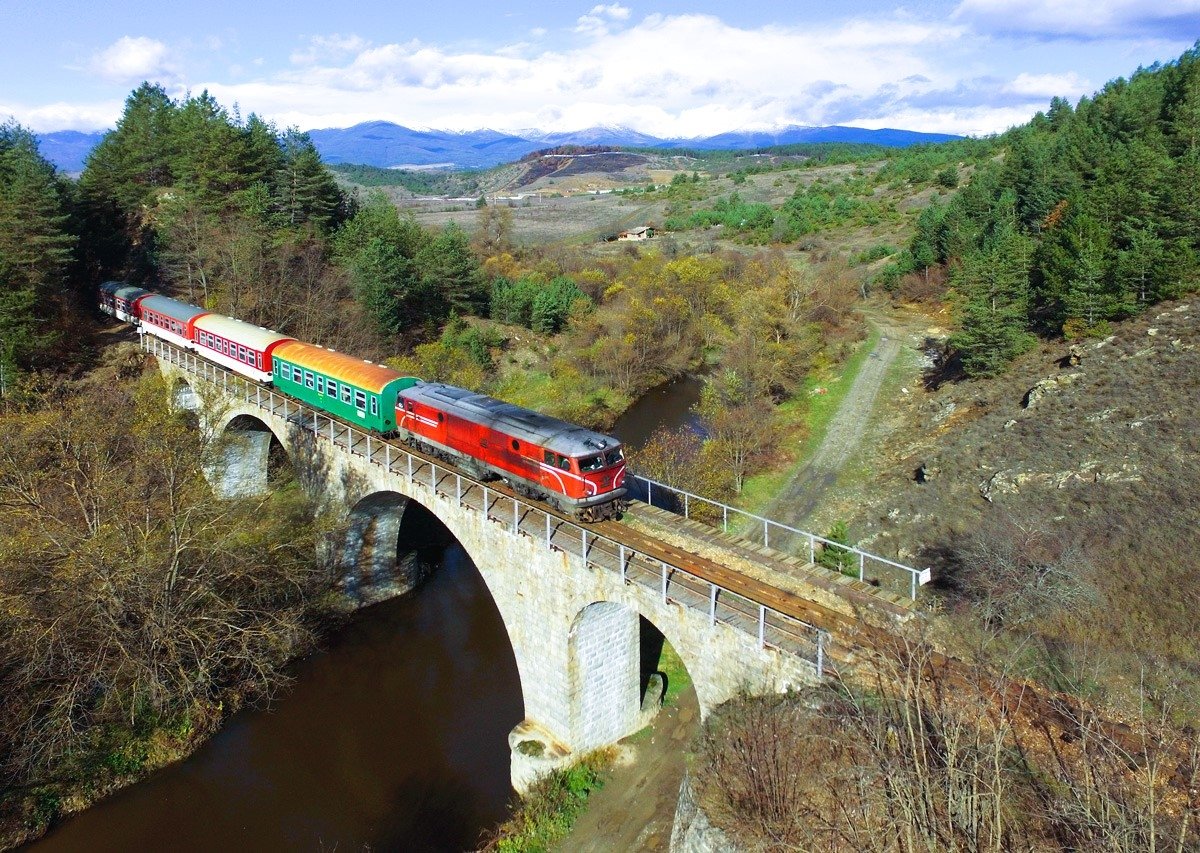
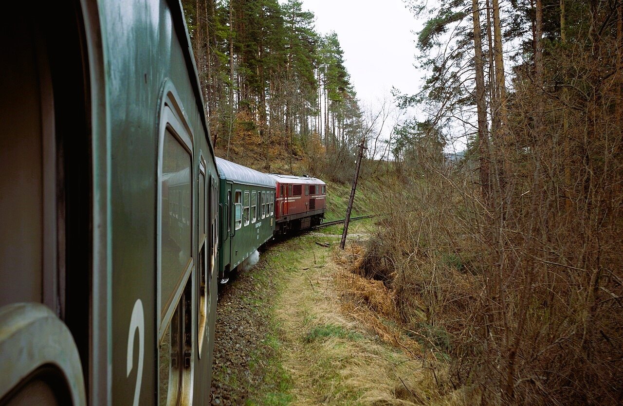
The Septemvri–Dobrinishte line is 125 kilometres long, runs through 35 tunnels, and includes a figure-eight loop — one of the rarest railway engineering forms in Europe. The journey takes between four and five hours depending on the service. The ticket costs between BGN 6.60 and BGN 10.00, roughly €3.40 to €5.10. It is the only operating narrow-gauge railway in Bulgaria.
None of this appears in standard travel coverage of Bulgaria, which concentrates on Sofia, Plovdiv, and the Black Sea coast.
The construction history explains why the engineering is so extraordinary. The Treaty of Neuilly (1919), which Bulgaria signed after the First World War, imposed strict limits on the size of the Bulgarian army. To circumvent this while still creating a trained workforce, the Bulgarian state used conscripted “labour troops” — a military workaround — to build the railway through the Rhodope mountains. The figure-eight loop, the four spiral sections, the 35 tunnels: all of it was cut by conscript labour through some of the most difficult mountain terrain in the Balkans.
At Avramovo station, the altitude is 1,267 metres — the highest railway station on the Balkan Peninsula. Before 1912, the Ottoman-Bulgarian border ran here. The station sits in a landscape of beech and pine that shifts as the line descends toward Dobrinishte, where the Pirin mountains begin to close in from the west.
The line’s 20th century carried another cargo that almost no travel writing mentions: uranium ore from the Eleshnitsa mines, transported until approximately 1990. The same narrow-gauge railway that now carries tourists through mountain scenery spent four decades carrying radioactive ore from Communist-era mines.
Access: Septemvri is on the main Sofia–Plovdiv rail line, making it easily reachable from either city. Trains run daily in both directions; the full journey to Dobrinishte and back takes most of a day. Dobrinishte connects by road to Bansko (6 km), giving an overnight option at the better-served ski town. Check BDZ (Bulgarian State Railways) for current timetables.
→ Hidden Bulgaria mapped alongside the wider Balkans network: Hidden Europe — The Beyond the Map Map
3. Sauschwänzlebahn, Germany — The Military Spiral That NATO Rebuilt
GPS (Blumberg-Zollhaus): 47.838°N, 8.556°E — Gauge: 1,435 mm (standard)
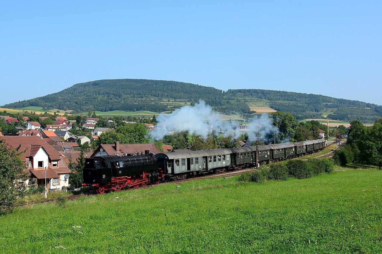
The name translates, approximately, as “pig’s tail railway.” The local name for the engineering feature at its centre: the Stockhald Tunnel, 1,700 metres long, a spiral tunnel that gains altitude by turning a complete circle underground — the only spiral railway tunnel in Germany. The heritage section between Blumberg-Zollhaus and Weizen covers 9.5 kilometres of straight-line distance on 25 kilometres of track, because the line turns so many times on its way through the Wutach gorge.
The engineering was not built for spectacle. It was built for war.
After the Franco-Prussian War of 1870–71, the German military identified a strategic weakness: the main railway connection between Baden and the rest of Germany passed briefly through Swiss territory at the town of Schaffhausen. In the event of conflict with France, this section would be unusable. The Sauschwänzlebahn was designed as a bypass — entirely on German soil — with a gradient limit of 1:100 (one metre of rise per hundred metres of horizontal distance). The Wutach gorge made a gentler gradient impossible. The spiral tunnel was the engineering solution to a military requirement.
The line closed in 1972 after landslides in the Wutach gorge made maintenance unviable. It was rebuilt — and this is the element that appears in almost no travel coverage — with NATO funding during the Cold War, for the same strategic reason it was built in the first place: a western German railway that could move military equipment without crossing allied but non-NATO Switzerland. The restored heritage railway opened in 1978. Steam return tickets cost approximately €39; diesel return €26. Two round trips run on weekends and public holidays from spring through autumn.
The Wutach gorge itself is one of the wilder landscapes in the Black Forest — a limestone canyon with old-growth sections, the river having cut through the plateau to an unusual depth. The railway runs along its edge for sections of the journey. The gorge has a separate footpath; combining a train journey with a walk back along the river takes most of a day.
Access: Blumberg-Zollhaus station is the operating terminus, approximately 40 km east of Freiburg im Breisgau. Weizen, the other end, connects to the mainline at Waldshut. No regular public transport to Blumberg-Zollhaus; car required for the starting station. Timetable and bookings via the Sauschwänzlebahn association website.
→ The Black Forest beyond the tourist circuit — and the wider map of overlooked Germany: Hidden Europe — The Beyond the Map Map
4. Vía Verde de la Val de Zafán, Spain — The Railway Built by Prisoners
GPS (Tortosa): 40.812°N, 0.521°E — GPS (Alcañiz): 41.050°N, -0.133°E — Length: ~130 km
The Val de Zafán railway took 59 years to build. It opened in 1941. It closed in 1973, after 32 years of operation. The entire line is now a greenway — cycling and walking only, no motorised vehicles — running from Tortosa on the Ebro delta through the Ports de Beseit mountains to Alcañiz in Aragon.
The construction history is what the greenway signage does not explain.
Work began in 1882. Progress was intermittent, underfunded, repeatedly delayed. By 1936, much of the route existed as earthworks and incomplete tunnels. Then the Spanish Civil War interrupted everything. The Battle of the Ebro — one of the bloodiest engagements of the war, fought through this exact territory in 1938 — destroyed sections of the partially built line. After Franco’s victory, construction resumed using Republican prisoners of war assigned to forced labour battalions. The stretch between Bot and Tortosa was substantially completed by political prisoners. The 1941 inauguration was a Francoist ceremony for a railway built by the people the regime had imprisoned.
Bot station was a Nationalist logistics hub during the Battle of the Ebro. Civil War trenches remain visible from the greenway near Xerta. The Ebro bridge at Tortosa — rebuilt after wartime destruction — is now a greenway highlight. None of this is marked or explained on the route.
The Equinox Tunnel is the one feature that does appear in travel writing: a tunnel of over two kilometres whose alignment is precise enough that sunlight transmits fully through it on approximately 26 March and 17 September, and only those days. What travel writing does not add: the tunnel was cut, in part, by forced labour.
The greenway is open year-round. Cycling the full 130 km takes two to three days. Bicycles can be hired at several points along the route; the section through the Ports de Beseit mountains is the most dramatic.
Access: Tortosa is reachable by train from Barcelona (approximately 2 hours on the Tarragona line). Alcañiz has bus connections from Zaragoza. The greenway can be ridden in either direction. Several rural guesthouses along the route; Horta de Sant Joan (associated with Picasso’s early career) makes a midpoint overnight.
→ The Overland Balkans guide covers the equivalent story in eastern Europe — railways, roads, and what the landscape remembers: Overland & Campervan in the Balkans — The Beyond the Map Road Guide
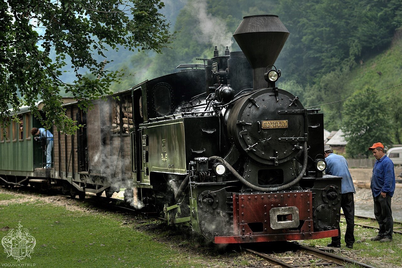
5. Vaser Valley Railway, Romania — The Timber Train That Refused to Stop
GPS (Vișeu de Sus): 47.715°N, 24.433°E — Gauge: 760 mm — Operating length: ~43 km
Almost every narrow-gauge forestry railway in the Romanian Carpathians was dismantled after 1989. The economic logic of communism — which had built and maintained hundreds of kilometres of mountain forest railways for state timber operations — collapsed with the regime, and within a few years the tracks were pulled up, the locomotives scrapped, the infrastructure gone.
The Vaser Valley line survived because the Vaser Valley has no roads.
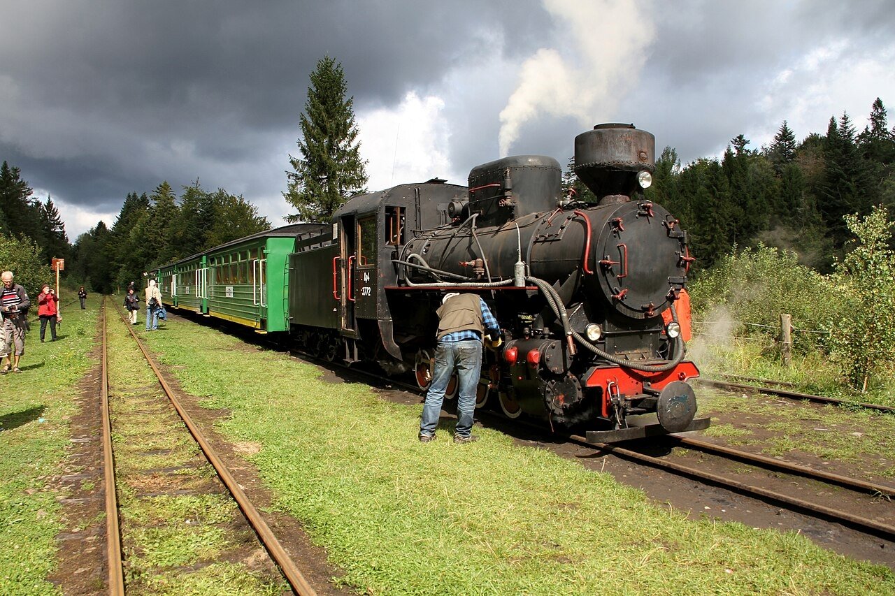
The river gorge is too narrow for a road to follow it. The timber in the valley above can only come out by rail. After 1989, the CFF Vișeu company — Căile Ferate Forestiere, Forest Railways — began charging tourists to ride the train because it needed the revenue to maintain a railway it could not afford to close. The result is what is now called the Mocănița: a working industrial forestry railway that happens to carry passengers, on a 760 mm gauge track laid in part using rails salvaged from a German World War One military railway across the Carpathians in 1933.
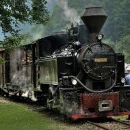
The oldest locomotive still operating on the line is Măriuta, built by Orenstein & Koppel in 1910 — the oldest working narrow-gauge steam locomotive in Romania. It pulls timber wagons on the upper section of the line when it is not pulling tourist carriages. The distinction between working railway and heritage attraction is genuine and visible: on some days the train shares track time with timber loads coming down from the upper valley.
The journey from Vișeu de Sus climbs approximately 43 kilometres into the valley, gaining altitude steadily through beech and spruce forest, passing the occasional forestry settlement, ending at a point where the valley narrows to the width of the river and the track. Return journeys take a full day. Tickets for the steam service cost approximately €40 for adults; the standard round-trip is around 136 RON (approximately €27–28). The railway operates daily May through October and Thursday through Sunday November through April.
Access: Vișeu de Sus is in Maramureș county, approximately 100 km south of the Ukrainian border. From Cluj-Napoca: approximately 3.5 hours by road. From Baia Mare: approximately 2 hours. Book the steam service in advance — seats are limited and the tourist season fills early. The Vișeu de Sus station and departure yard is the starting point; the town has several guesthouses.
→ Autumn in the Carpathians — timing, colour, and the valleys worth building a route around: Autumn Photography in Europe — The Beyond the Map Premium Guide
What These Lines Have in Common
They were not built for tourism. None of them were. They were built for timber, for military bypass routes, for conscript labour projects, for mining operations, for serving communities that no longer exist.
Tourism arrived later, in some cases because the original purpose was gone, in some cases because the original purpose is still there and the passengers came to subsidise it. The Vaser Valley line carries timber because the alternative is no access at all. The Sauschwänzlebahn carries tourists on a track that NATO funded for strategic reasons. The Rhodope railway runs through tunnels cut by labour troops on a timetable that has barely changed in decades.
What you see from the window is the landscape. What the landscape contains — the emptied village sites, the Civil War earthworks, the uranium mine tailings, the military engineering specifications — is not marked, not signposted, not in the ticket price.
It is worth knowing before you board.
Planning a route that uses rail rather than road:
→ Overland & Campervan in the Balkans — The Beyond the Map Road Guide The western Balkans by road — and where rail still makes more sense than driving.
→ Autumn Photography in Europe — The Beyond the Map Premium Guide The Vaser Valley and the Rhodope in October. Timing, light, and the windows that work.
→ Hidden Europe — The Beyond the Map Map Every line, every valley, every corner mapped. The framework for building your own route.
→ Soča Valley Beyond the Map — The Premium Field Guide For when the route passes through Slovenia — the valley that the Rhodope and Bieszczady lines echo in a different landscape.
→ Tbilisi Beyond the Map — The Wanders City Guide For when the rail route extends east — the Caucasus as the next chapter after the Carpathians.