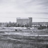
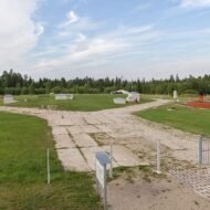
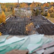
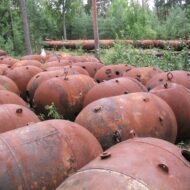
The Soviet military withdrew from the Baltic states between 1991 and 1998. It was not a clean withdrawal. Troops left at different rates, under different agreements, arguing about each base until the final months. When they finally went, they took what they could carry and destroyed what they couldn’t. They drove nails into signal cables. They poured battery acid into electric motors. They burned the explosive contents of naval mines and left the metal casings on the ground. They encased two nuclear reactor cores in concrete, handed the keys to a newly independent state, and departed with no decommissioning plan.
- 1. Skrunda-1, Latvia — The Radar City That Watched for Missiles
- 2. Paldiski, Estonia — Two Nuclear Reactors in Concrete Coffins
- 3. Plokštinė, Lithuania — Four Missiles Aimed at Western Europe
- 4. Irbene, Latvia — The Largest Soviet Ear in the North
- 5. Naissaar Island, Estonia — The Mine Factory in the Baltic
- 6. Karosta, Latvia — Three Empires in One Neighbourhood
- What the Paid Guide Contains
What remained were the physical facts of forty years of Soviet military occupation: radar cities in forests, nuclear infrastructure beneath apartment blocks, missile silos in national parks, the largest signals intelligence dish in the northern hemisphere in a clearing no map had ever shown, an island off Tallinn still seeded with ordnance, a naval city the size of a third of Liepāja emptied of twenty thousand people and left to the Baltic wind.
Three countries. Six sites. One empire’s furniture, left where it stood.
1. Skrunda-1, Latvia — The Radar City That Watched for Missiles
GPS: 56.650°N, 22.000°E — Kurzeme region, western Latvia
The town does not appear on any Soviet-era map. It was built in a forest in 1963 and did not officially exist until Latvia declared independence.
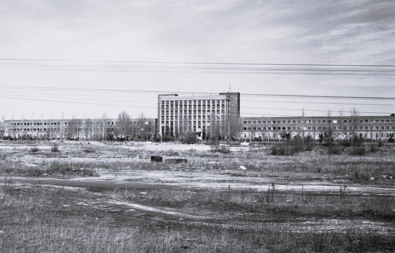
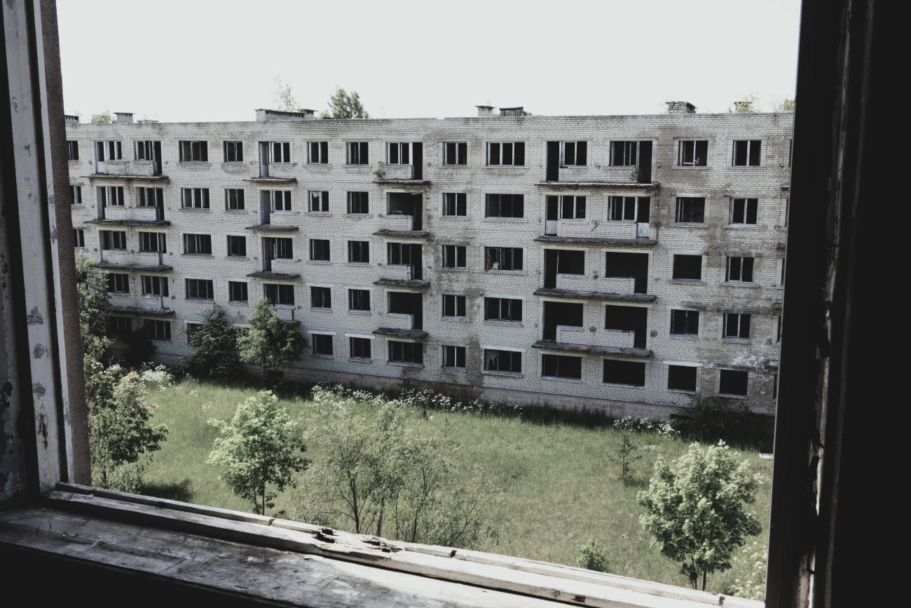
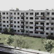
Inside the forest, the Soviet military constructed sixty apartment blocks, a school, a gymnasium, a theatre, a cinema, and all the administrative infrastructure of a small city. Over five thousand people — military engineers, radar technicians, scientists, and their families — lived here without telling anyone outside. The town’s postal address was a numbered military unit. Children born here could not explain where they grew up.
The reason for the town was two Dnepr phased-array radars — NATO codename “Hen House” — designed to detect incoming ballistic missiles launched from the west and give Moscow warning time measured in minutes. A third, larger radar of the Daryal-UM type was under construction when the USSR collapsed; it was never finished.
The extraordinary detail is what came after independence. Latvia declared itself free from Soviet rule in 1991. The radar kept running until 1998. Russia had negotiated a lease extension to continue operating an active ballistic missile early-warning system on the territory of a country that was no longer part of the USSR and was in the process of joining NATO. For seven post-independence years, the Latvian government could not enter a section of its own territory because a foreign military was still pointing radar arrays at the West from inside it.
The incomplete Daryal-UM tower was demolished on 4 May 1995 under a bilateral agreement. The Dnepr stations closed 31 August 1998. The last inhabitant left in 1999. Latvia took formal control in January 2015, acquiring the site for €12,000. Half was allocated to the Latvian Army as a training area.
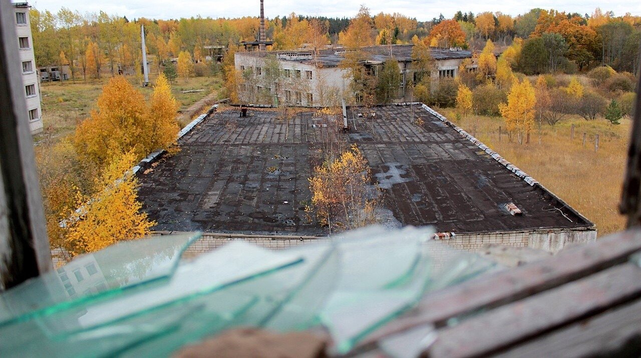
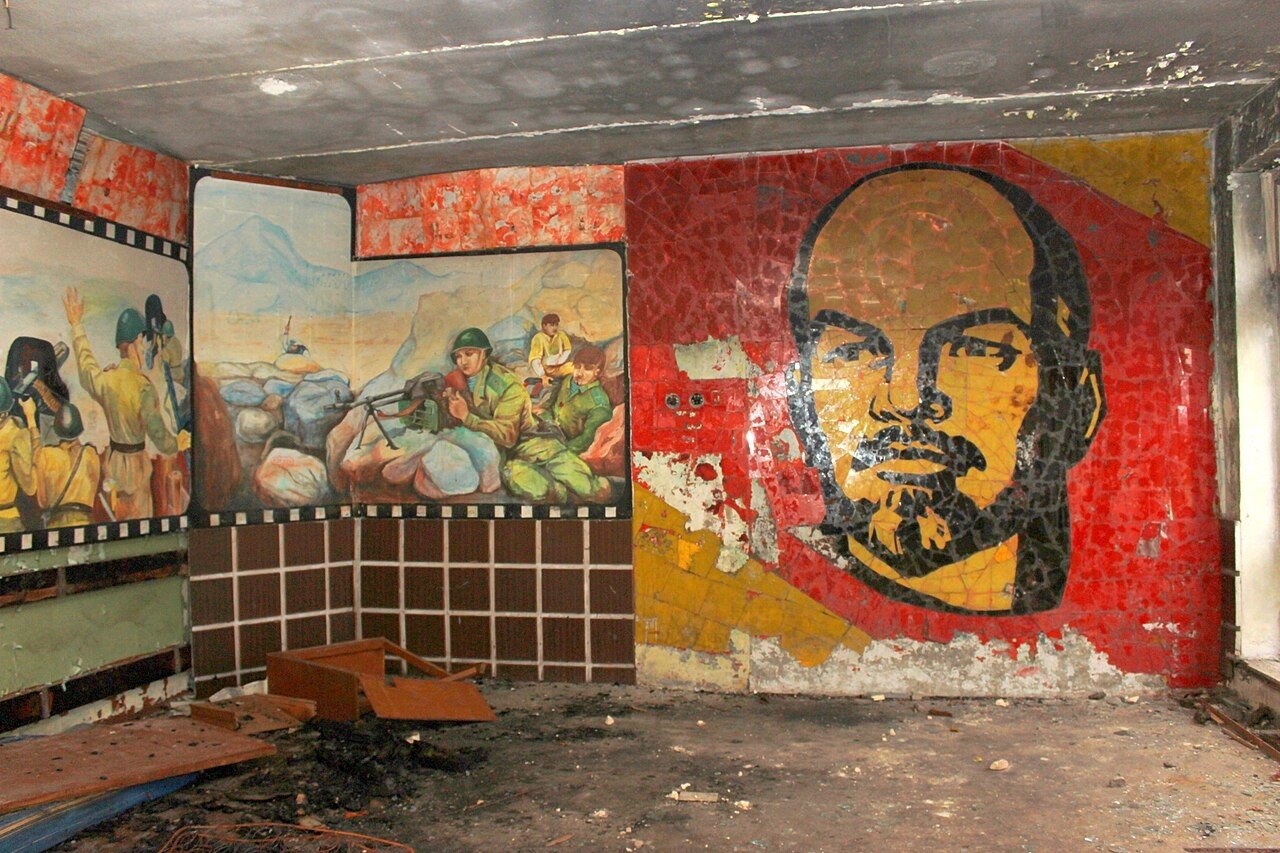
The sixty apartment blocks, the theatre, the cinema, and the school are still standing. The forest has grown back around them. Windows are open to the weather. Furniture remains in some rooms. The Palace of Culture’s stage is intact.
Access: Skrunda-1 has been closed to the public since October 2018 and is now used exclusively by Latvian and NATO forces for urban warfare exercises. It is visible from the perimeter. The civilian town of Skrunda is 150 km from Riga; the ghost town is several kilometres from the town.
→ Latvia and the Cold War landscape mapped in the full guide: [Secret Cities — Baltic Soviet Ghost Towns — Beyond the Map Premium Guide]
2. Paldiski, Estonia — Two Nuclear Reactors in Concrete Coffins
GPS: 59.350°N, 24.050°E — 50 km west of Tallinn
Peter the Great chose this peninsula on 23 July 1715 for a major warship port, the same ambition that drove all Tsarist Baltic strategy: a deep-water harbour facing the western sea. The port stalled when he died in 1725. Catherine the Great renamed the settlement in 1762. The Soviets arrived in 1940 and removed the entire civilian population, replacing them with naval personnel. The town was sealed.
In 1962, the Soviet Navy converted Paldiski into its nuclear submarine training centre. Two land-based nuclear reactors were built inside full-scale submarine hull mock-ups — identical in every technical detail to the reactors aboard Soviet attack submarines — so that crews could train without a submarine. At its peak, Paldiski held approximately sixteen thousand military personnel. Locals called the reactor building the “Pentagon.” The training facility functioned until 1989, when the Soviet programme began to collapse.
Russian forces finally withdrew on 31 August 1994 — three years after Estonian independence. They removed the nuclear fuel rods and transported them to Russia. The reactor compartments themselves — two submarine hull sections, each containing a reactor core — were encased in concrete sarcophagi and left in place. Estonia, which had no nuclear industry, no regulatory framework, and no experience with radioactive infrastructure, received the sarcophagi along with the deed to the property.
A state company, A.L.A.R.A. AS, was established to monitor the site. The sarcophagi are still there. In 2022, an Estonian firm began testing muon-scanning technology to image the interior of the concrete casings — because even after nearly thirty years, authorities are not entirely certain what was embedded inside them before the concrete set.
Estonia joined NATO in 2004. A NATO member state is currently maintaining Soviet nuclear waste of partially unknown composition on its territory, with no confirmed decommissioning timeline, monitored around the clock.
The civilian town of Paldiski has reopened and functions normally. The nuclear facility area remains restricted and guarded. A small exhibition operates at the entrance building. The “Pentagon” training complex was demolished by 2007; the concrete sarcophagi are not visible from public areas.
Access: Paldiski is reachable by train from Tallinn Balti jaam (approximately 50 minutes, trains run regularly). The restricted nuclear zone is not open to visitors. The rest of the peninsula — waterfront, harbour, Soviet-era housing, and the landscape of the former closed city — is freely walkable.
→ Paldiski and the Estonian nuclear legacy in the full guide: [Secret Cities — Baltic Soviet Ghost Towns — Beyond the Map Premium Guide]
3. Plokštinė, Lithuania — Four Missiles Aimed at Western Europe
GPS: 56.028°N, 21.909°E — Žemaitija National Park, near Plateliai
Construction began in September 1960 in a forest in the Žemaitija highlands, a landscape of lakes and birch groves that the Soviet military selected for reasons of concealment. The villagers of Plateliai, a few kilometres away, were not told what was being buried in the trees.
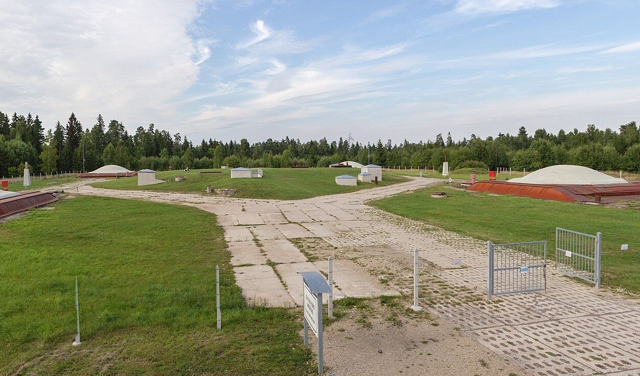
Four silos were sunk into the earth, each designed to hold one R-12 Dvina missile — NATO designation SS-4 Sandal — a medium-range ballistic missile carrying a nuclear warhead with a yield approximately one hundred times the bomb dropped on Hiroshima. The R-12 had a range of approximately 2,000 km. From western Lithuania, that range covered most of Western Europe. Two operators in an underground launch room, turning keys simultaneously, could deliver four of these warheads.
The R-12 was also the missile at the centre of the Cuban Missile Crisis of October 1962. The missiles Soviet ships attempted to deliver to Cuba — the missiles that brought the United States and USSR to the edge of nuclear exchange — were the same type as the four sitting in silos in a Lithuanian national park. Missiles from this base were reportedly prepared for transport to Cuba; the crisis was resolved before any arrived.
The base was decommissioned in 1978 and abandoned after the Soviet collapse. It opened to the public as the Cold War Museum in 2011, now operated within Žemaitija National Park. One silo is fully accessible: visitors descend into the underground complex and walk through the multi-level installation — fuel stores, launch mechanisms, the circular silo shaft, the dual-key launch room. A mockup R-12 is displayed above ground. The steel silo covers remain.
The forest around the base looks exactly as it did in 1960. The concealment worked. The missiles were here for eighteen years and almost no one outside the Soviet military knew.
Access: Approximately 5 km south of Plateliai by forest road. Open year-round; approximately 10:00–16:00 (confirm in advance). Admission approximately €3–5. No public transport — car required. Nearest town with services: Plateliai (6 km). Combine with Plateliai Lake and Žemaitija National Park for a full day.
→ Lithuanian Cold War sites and the missile geography of the Baltics: [Missile & Radar Installations — Beyond the Map Premium Guide]
4. Irbene, Latvia — The Largest Soviet Ear in the North
GPS: 57.553°N, 21.855°E — Ventspils Municipality, western Latvia
In 1971, the Soviet military built a secret town in a forest near the western Latvian coast, 50 km from Ventspils. The town was named Zvezdochka — Little Star. It appeared on no map. The postal address was a military unit number. Over two thousand people — signals intelligence officers, scientists, technicians, and their families — lived in four apartment blocks with 260 flats, a kindergarten, a school, and a post office, surrounded by forest, in a place that officially did not exist.
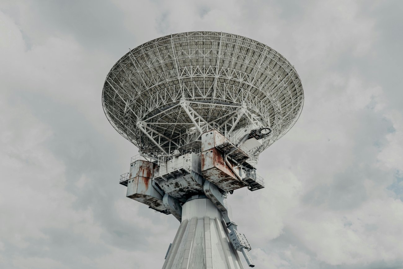
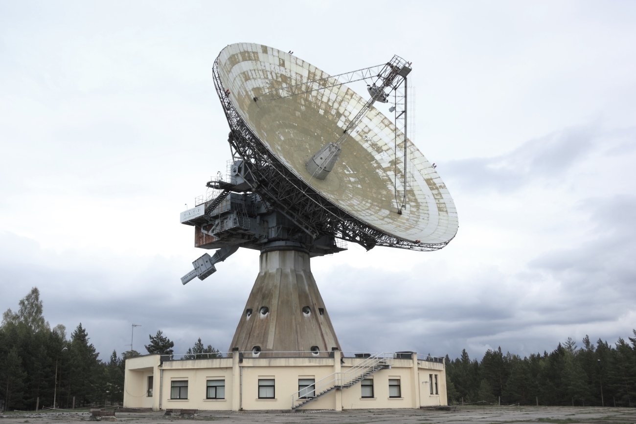
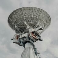
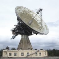
The reason was a dish. The RT-32 — a 32-metre fully steerable parabolic antenna, one of the largest in northern Europe — was pointed at the West. The facility intercepted NATO communications traffic between Europe and the United States and tracked NATO naval and air movements in the Baltic and North Sea. The KGB operated here. What exactly was intercepted in twenty-three years of operation remains classified.
When the Soviet military withdrew in 1994, what followed was not abandonment but sabotage. Departing troops drove nails into signal cables. They poured battery acid into the electric motors that moved the dish. They removed and destroyed control units. They disassembled and took the smaller RT-08 dish entirely. There were plans to demolish the RT-32 and RT-16 as well. Latvian and international scientists lobbied against the destruction, and some Soviet soldiers apparently hesitated. The main dishes survived.
Latvian scientists took over the site and named it the Ventspils International Radio Astronomy Centre (VIRAC). They repaired the acid-corroded motors. They rebuilt the control systems from documentation that had been taken or destroyed. The RT-32 underwent major structural restoration in 2014–2015 — dismantled, re-welded, repainted, remounted. In October 2019, Irbene joined LOFAR, the pan-European Low-Frequency Array radio telescope network, connecting it to stations across the continent.
The Soviet intelligence facility is now a working scientific observatory. The forest has grown up around the apartment blocks of Zvezdochka, which are slowly returning to the birch trees.
Access: Guided tours run March through October. The tour includes the interior of the RT-32 control room and a 700-metre underground tunnel. Advance booking required: infovirac@venta.lv or +371 29230818. Entry approximately €12/adult, €8/student. No public transport — own vehicle essential. The site is 50 km from Ventspils.
→ Irbene and the Baltic SIGINT network in the full guide: [Missile & Radar Installations — Beyond the Map Premium Guide]
5. Naissaar Island, Estonia — The Mine Factory in the Baltic
GPS: 59.567°N, 24.517°E — 8.5 km northwest of Tallinn
Naissaar is an island of 18.6 km² in Tallinn Bay, thirty minutes by boat from the centre of the Estonian capital. Before the Soviet period, it had a small community of Estonian-Swedish islanders — the Aibofolke — and a military presence from the Russian Imperial period. The Soviets sealed it in 1940 when they occupied Estonia and did not reopen it until 1993.
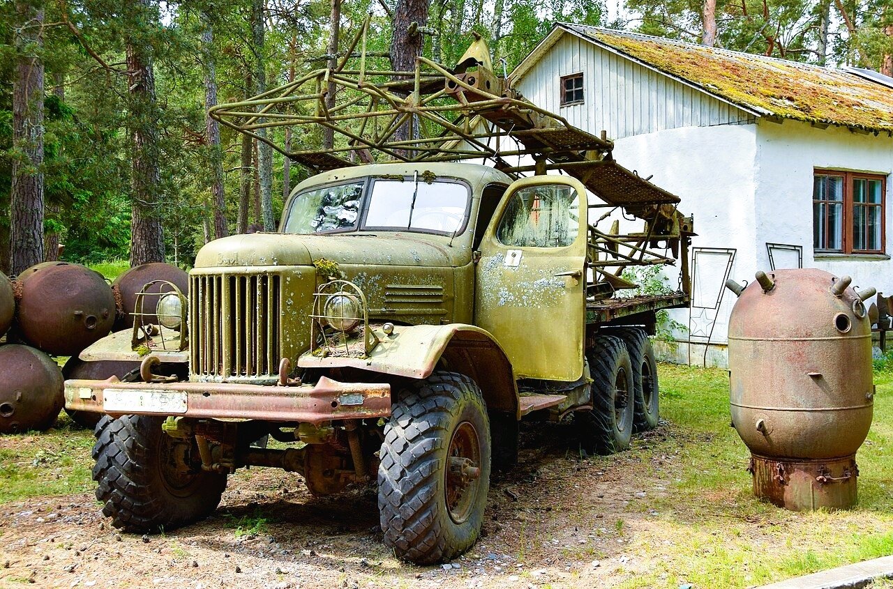
What they built on the island was the Soviet Baltic Fleet’s largest naval mine manufacturing facility. Anti-ship mines were produced, assembled, and stored here. An existing narrow-gauge railway, originally laid in 1914 during the First World War at 600 mm gauge, was repurposed to move mines and materials around the island’s 37.7 km of track — from the factory to the port, across terrain that had once been farmland.
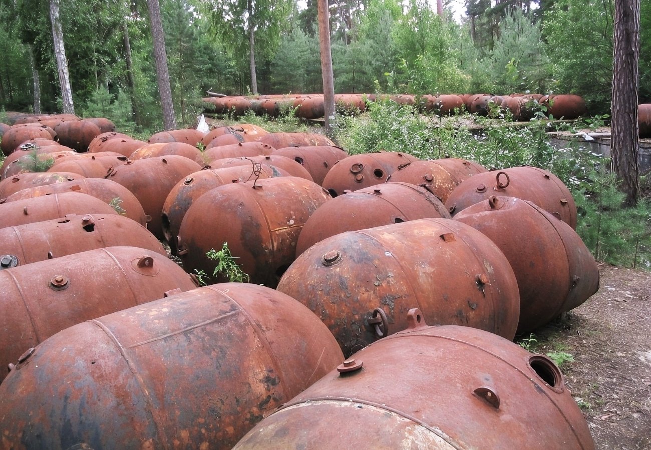
When Soviet forces left in early 1993, they burned the explosive material from the mines before departing. They did not remove the mine casings. They did not clean the soil contaminated by factory operations. They did not clear the minefield near the Mädasadam wharf. Visitors to Naissaar today walk an island that still contains live ordnance in certain areas. The conservation area signs are specific: stay on marked paths.
The island had one earlier episode of its own historical weight. In December 1917, the small population declared a Commune of Laborers of Naissaar — one of the first Soviet republics anywhere in the world, weeks before the Bolshevik consolidation was complete, on an island off Tallinn. It lasted a few weeks. The Soviet Union that eventually arrived twenty-three years later sealed the island and turned it into a mine factory.
The narrow-gauge railway is being restored for tourist use. The factory ruins, former military buildings, and mine casings are visible throughout the landscape. The island is also a nature reserve — pine forest, sandy beaches, and the particular silence of a place no one has lived in for thirty years.
Access: Ferry from Linnahall port, Tallinn (approximately 1 km from the Old Town), approximately 30 minutes. Seasonal service May through September, typically morning departures. Operator: 5Sails (5sails.ee). Check current schedule before visiting. No facilities on the island beyond basic information — bring food and water. A full day is recommended.
→ Naissaar and the Estonian island legacy in the full guide: [Island & Coastal Naval Sites — Beyond the Map Premium Guide]
6. Karosta, Latvia — Three Empires in One Neighbourhood
GPS: 56.548°N, 21.007°E — Liepāja, western Latvia
Karosta is a district of Liepāja covering approximately one-third of the city’s geographic area. Under Soviet rule, it did not appear on civilian maps of Liepāja. At its peak it held over twenty thousand military personnel and their families. After Soviet forces withdrew in 1994, the population collapsed. A few thousand people live there now, in what was designed to accommodate many times that number.
The district was not built by the Soviets. It was begun in 1890 under Tsar Alexander III, who wanted a naval fortress on the eastern Baltic — Port Imperatora Aleksandra III, a harbour and military city constructed over fifteen years at extraordinary cost, completed in 1906. The Kalpaka Bridge, which still carries traffic over the Karosta canal, dates from that year. The St Nicholas Naval Cathedral, completed in 1903 in Byzantine-Revival style, was built specifically for the officers and sailors of the Imperial Navy.
The Soviets converted the cathedral into a cinema and sports hall — a deliberate ideological act. After independence it was restored, its golden domes replaced. It now functions as an Orthodox church. Women must cover their heads; interior photography is not permitted.
The Karosta Prison was built around 1900 as a naval guardhouse. It held prisoners during the Soviet period, including “enemies of the people” under Stalinism, and was used by occupying Nazi forces as well. It did not close until 1997 — one of the last Soviet-era military prisons operating in the Baltics. It is now a museum and overnight accommodation: visitors can spend the night on wooden pallets in cells with the lights on, in a building that incarcerated people under three different regimes. The prison runs “prisoner experience” events.
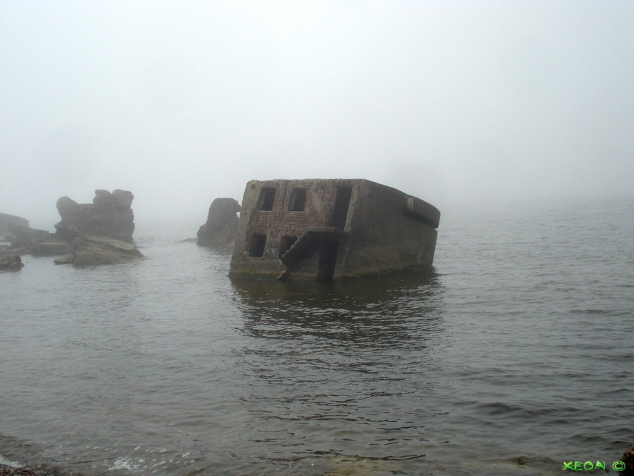
The wider district is freely walkable. Officer palaces from the Tsarist era stand beside Soviet-era housing blocks, both in varying states of decay. The northern breakwater and coastal fortifications run to the Baltic shore. The submarine bunker at the harbour can be seen through a fence. An artists’ centre, K@2, operates cultural programming from a former military building.
What Karosta is, more than any other site on this list, is a stratigraphic record — three empires using the same ground in succession. The Tsars built it. The Nazis occupied it. The Soviets expanded and sealed it. All three left, and the architecture of each occupation is still standing, in various stages of return to the sand it was built on.
Access: Karosta is 3 km north of Liepāja city centre, reachable by city bus or a 35-minute walk from the bus station. The prison museum operates May through September, daily 10:00–18:00; admission approximately €10. Overnight stays available at the prison; book in advance. The cathedral, breakwater, and district streets are freely accessible year-round. Liepāja is 3 hours from Riga by bus.
→ Karosta and the Baltic coastal naval legacy in the full guide: [Island & Coastal Naval Sites — Beyond the Map Premium Guide]
What the Paid Guide Contains
This article is an introduction to the territory. Six sites, six clusters of historical fact that standard travel writing has not assembled in one place.
The Beyond the Map Baltic Soviet Guide is a five-part premium series covering the complete picture:
Part 1 — Secret Cities: Skrunda-1 and Paldiski in depth. Access to the perimeter, what remains visible, the negotiation history of each withdrawal, the communities that replaced the military populations, and six additional closed Soviet towns across the three Baltic states with current access notes.
Part 2 — Missile & Radar Installations: Plokštinė and Irbene in depth. The technical specifications of what each installation could do, the intelligence value of each site, comparable installations across the Baltics that have not been opened to the public, and the still-classified material on what Irbene intercepted.
Part 3 — Island & Coastal Naval Sites: Naissaar and Karosta in depth. The island access logistics for the full season, the walking route through Karosta with GPS waypoints for every accessible structure, the submarine infrastructure of the Liepāja harbour, and four additional coastal military sites across the three states.
Part 4 — The Withdrawal: A documented timeline of the Soviet military departure from all three Baltic states, 1991–1998. What was negotiated, what was destroyed, what was left, and what the specific departure of each installation looked like — drawn from declassified documents, Estonian and Latvian press archives, and the accounts of those present.
Part 5 — Photography & Access: The practical guide. Seasonal light in the Baltic (winter gives extraordinary low-angle light for ruins; the golden hours extend to 10:00 and 14:00 in December). What is currently accessible versus restricted at each site. Which sites require advance booking. Which are best reached by public transport and which require a car. The permit status for photography at each location. What has changed since the last available English-language guides were published.
The withdrawal is recent enough that people who were there are still alive. The access window for many of these sites is uncertain — Skrunda-1 is already closed, Paldiski’s nuclear zone was never open. What is accessible now may not be accessible in ten years.
Planning the Baltic Cold War route:
→ Hidden Europe — The Beyond the Map Map All six Baltic sites mapped alongside the full network of overlooked places across the continent.
→ Overland & Campervan in the Balkans — The Beyond the Map Road Guide The Cold War left its infrastructure across the entire former Eastern Bloc — the Balkans route connects the same landscape south.
→ Tbilisi Beyond the Map — The Wanders City Guide For when the Cold War route extends east — Georgia and the Caucasus were part of the same military geography.
→ Autumn Photography in Europe — The Beyond the Map Premium Guide The Baltic forest in October. The light on Soviet concrete at the end of the season.