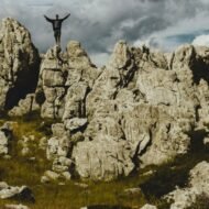
Silence has become the rarest thing on the continent. We don’t mean quiet in the brochure sense: a spa, a sea view, a cabin with good Wi-Fi. We mean the real thing. Hours without an engine, a voice or a signal, where the loudest sound is wind moving through something old.
It still exists. You just have to know where to stand. These are five coordinates where Europe drops its voice:
- an Arctic wilderness with no roads
- a marsh that breathes
- a Spanish valley the twentieth century passed by
- an island in the middle of the North Sea
- a limestone ridge above the Adriatic
None of them is hard to love. All of them ask the same thing in return: that you arrive quietly, and leave them that way.
1. Sarek National Park, Sweden
67.28° N, 17.70° E · Swedish Lapland, above the Arctic Circle
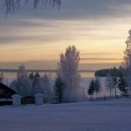
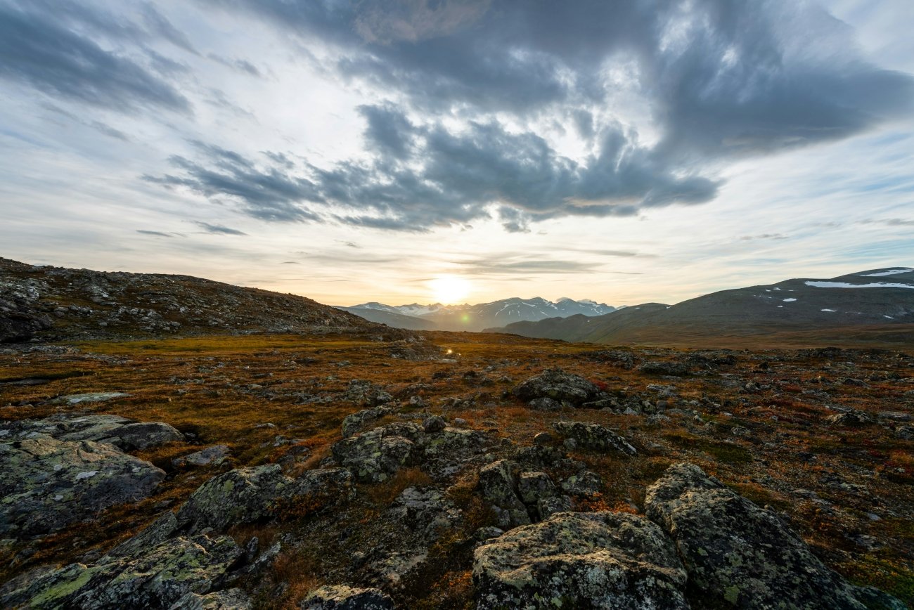
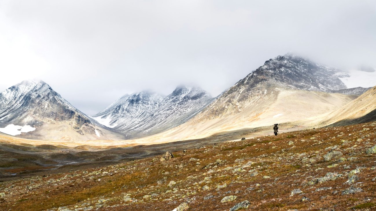
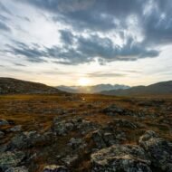
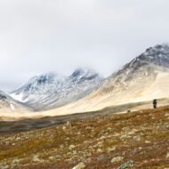
Sarek is what silence sounds like when nobody has built anything to break it. There are no roads, no huts, no marked trails and almost no bridges inside the park. There are only glaciers, braided rivers and some two hundred peaks above 1,800 metres. Founded in 1909, it was one of Europe’s first national parks, and it has been deliberately left almost exactly as it was.
The quiet here has a particular texture. In the Rapa Valley the river spreads into a maze of silver channels. From the slopes above, you can watch elk cross the delta without hearing a single step. The only regular sounds are water, wind and, in late summer, the bells of Sámi reindeer herds. Sarek sits inside Laponia, the UNESCO-listed homeland of the Sámi.
- Go for: multi-day wilderness trekking. This is for experienced hikers only: navigation, river crossings and self-sufficiency are part of the deal.
- When: mid-July to early September, after the snowmelt and before the first autumn storms.
- Getting there: the trailheads are at Kvikkjokk and Ritsem. The Kungsleden trail skirts the park’s eastern edge and makes a gentler introduction.
→ Read our full guide to Sarek National Park
2. Biebrza Marshes, Poland
53.60° N, 22.80° E · Podlaskie, north-eastern Poland
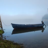
Biebrza is a landscape that breathes. Poland’s largest national park protects one of the last great unbroken river marshes in Europe. Reeds, sedge and peat stretch to every horizon along the slow, looping Biebrza River. There are no mountains to look at and no villages inside the park. What it has instead is sound, and the absence of almost every human one.
Arrive before dawn in April or May and the silence is layered rather than empty. You hear the boom of a bittern, the drumming of snipe overhead, and the soft creak of reeds as the spring floods spread across the valley. Elk move through the Red Marsh, one of their oldest refuges in the country. By mid-morning the birds settle and the quiet becomes almost total.
- Go for: birdwatching, canoeing the Biebrza, and the boardwalk trails that let you walk into the marsh without disturbing it.
- When: April to May for the floods and the bird spectacle; September for mist, rutting elk and empty paths.
- Getting there: the main gateways are the town of Goniądz and the Osowiec fortress area, about 50 km north-west of Białystok.
→ Read our full guide to Biebrza National Park
3. Las Hurdes, Spain
40.40° N, 6.25° W · northern Cáceres, Extremadura
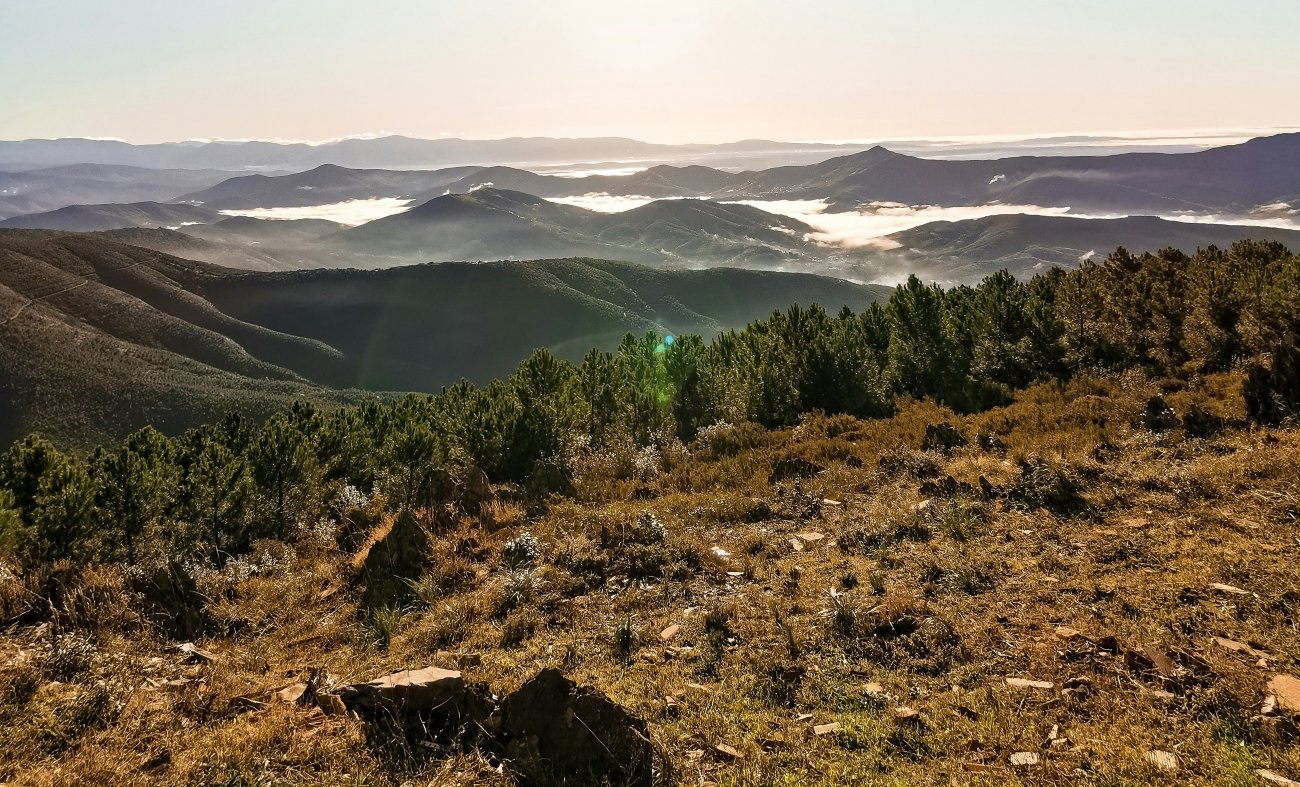
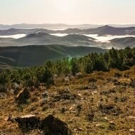
Las Hurdes is the quiet of a place the twentieth century almost forgot. These valleys sit in the folded slate hills between Salamanca and the Sierra de Gata, and they were once among the poorest corners of Spain. They were so isolated that King Alfonso XIII came to see the hardship for himself in 1922. A decade later, Luis Buñuel made them the subject of his 1933 documentary Land Without Bread.
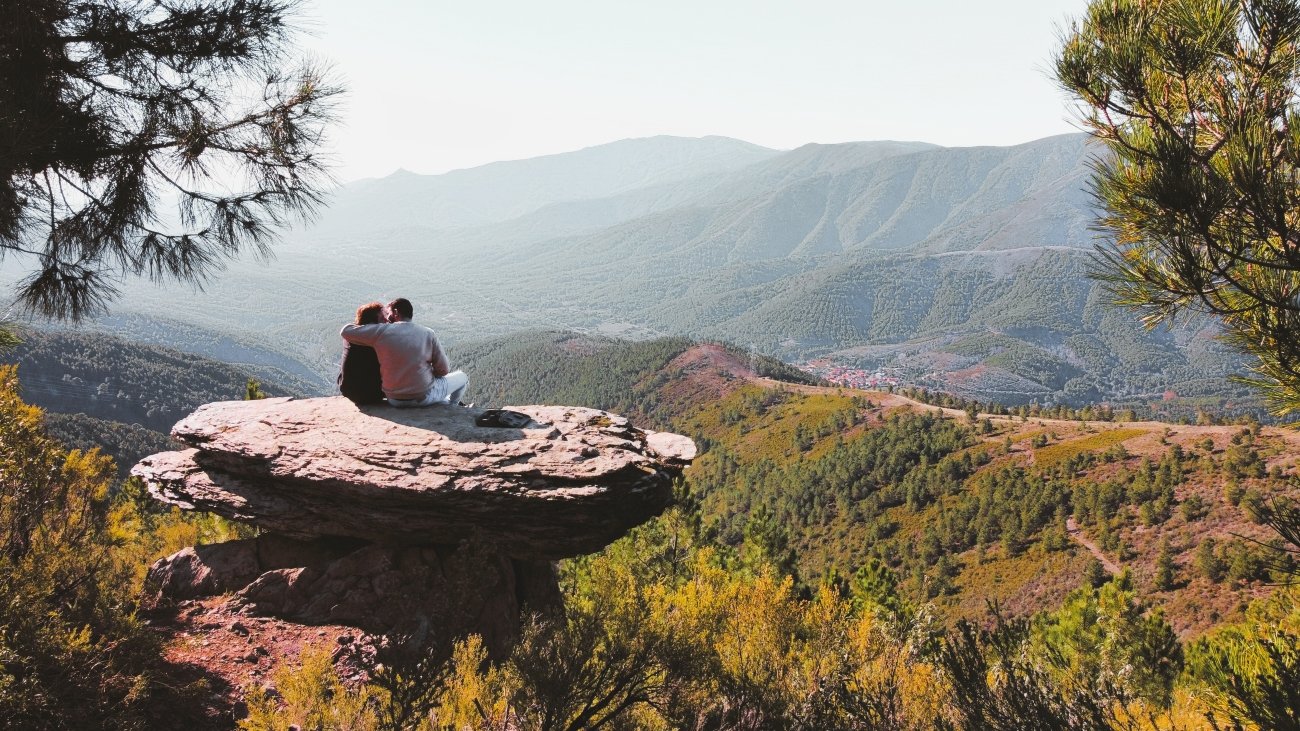
That isolation is now its gift. Villages like El Gasco and Riomalo de Arriba are built from dark slate that blends into the hillsides. Their terraces step down the slopes, where olives, chestnuts and beehives still shape the year. On the Alagón River, the Meandro del Melero curls almost into a full circle beneath a lookout. On most mornings you will stand there alone, with the sound of water far below.
- Go for: slow walks between hamlets, river swimming in natural pools, local honey and olive oil, and some of the darkest night skies in inland Spain.
- When: April to June and late September to November. High summer is hot and the pools get busier.
- Getting there: about 1 hour 30 minutes by car from Salamanca, or 2 hours from Cáceres. A car is essential.
4. Fair Isle, Scotland
59.54° N, 1.63° W · Shetland, halfway between Orkney and the Shetland mainland
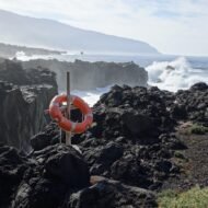
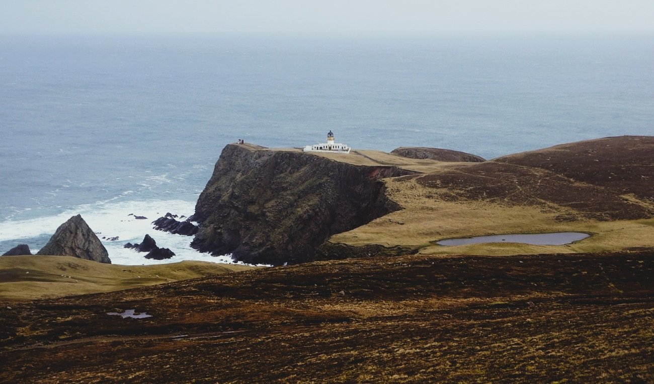
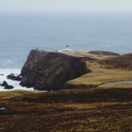
Fair Isle is the quiet of the open North Sea. The island is barely five kilometres long and home to around sixty people. It is often called the most remote inhabited island in Britain: a green wedge of cliffs and crofts with nothing but water in every direction. On a still day, the only sounds are seabirds, sheep and the sea working at the rocks below.
It is famous in two small, precise ways. One is the knitting pattern that carries its name. The other is its bird observatory, founded in 1948, where some of the rarest migrants ever seen in Britain have landed after crossing the sea. Puffins nest along the cliff tops in summer. In 1588 a ship of the Spanish Armada, El Gran Grifón, was wrecked on the island’s shore. It may have been the last time Fair Isle was this crowded.
- Go for: cliff walks, seabird colonies, autumn migration, island knitwear, and the feeling of a community where everyone knows every visitor.
- When: May to July for puffins and seabirds; September to October for bird migration.
- Getting there: by small plane from Tingwall, or by the mailboat ferry from Grutness on Shetland’s mainland. Both depend on the weather, so build in spare days.
→ Read our full guide to Fair Isle
5. Velebit Mountains, Croatia
44.81° N, 14.98° E · Zavižan, Northern Velebit, above the Adriatic coast
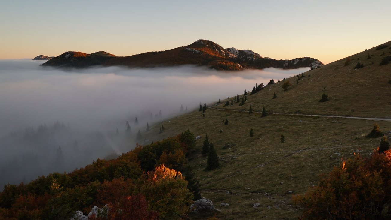
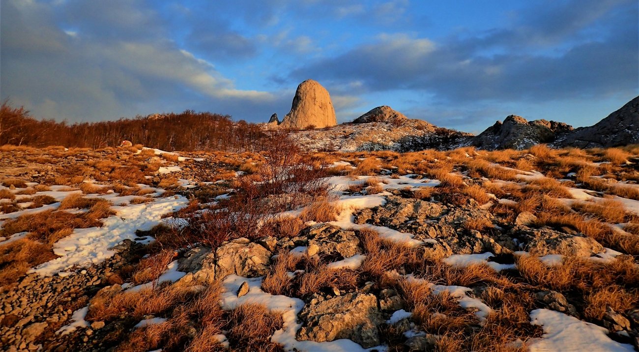
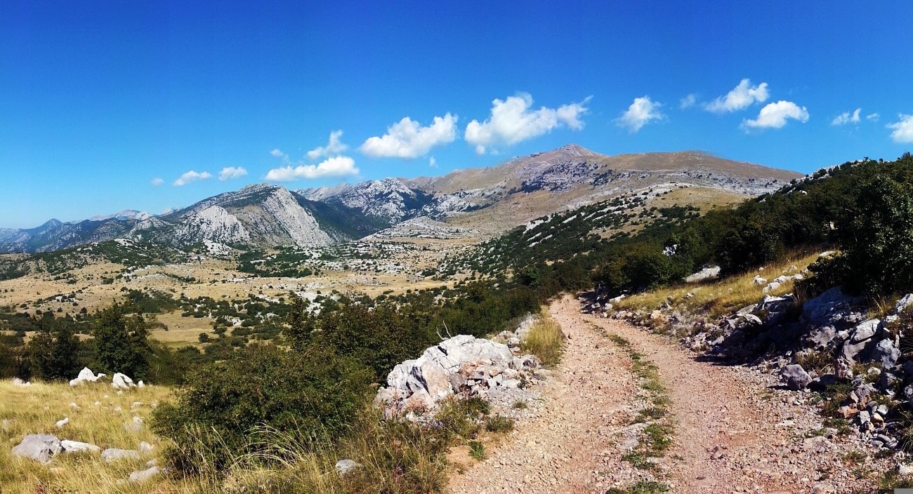
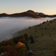
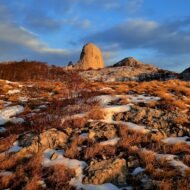
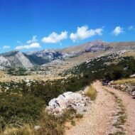
Velebit is the quiet hiding directly above one of Europe’s busiest coastlines. Croatia’s longest mountain range runs for about 145 kilometres along the Adriatic. While the beaches below fill every summer, the limestone ridge stays almost empty. It has been a UNESCO Biosphere Reserve since 1978, and it holds two national parks: Paklenica in the south and Northern Velebit.
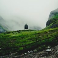
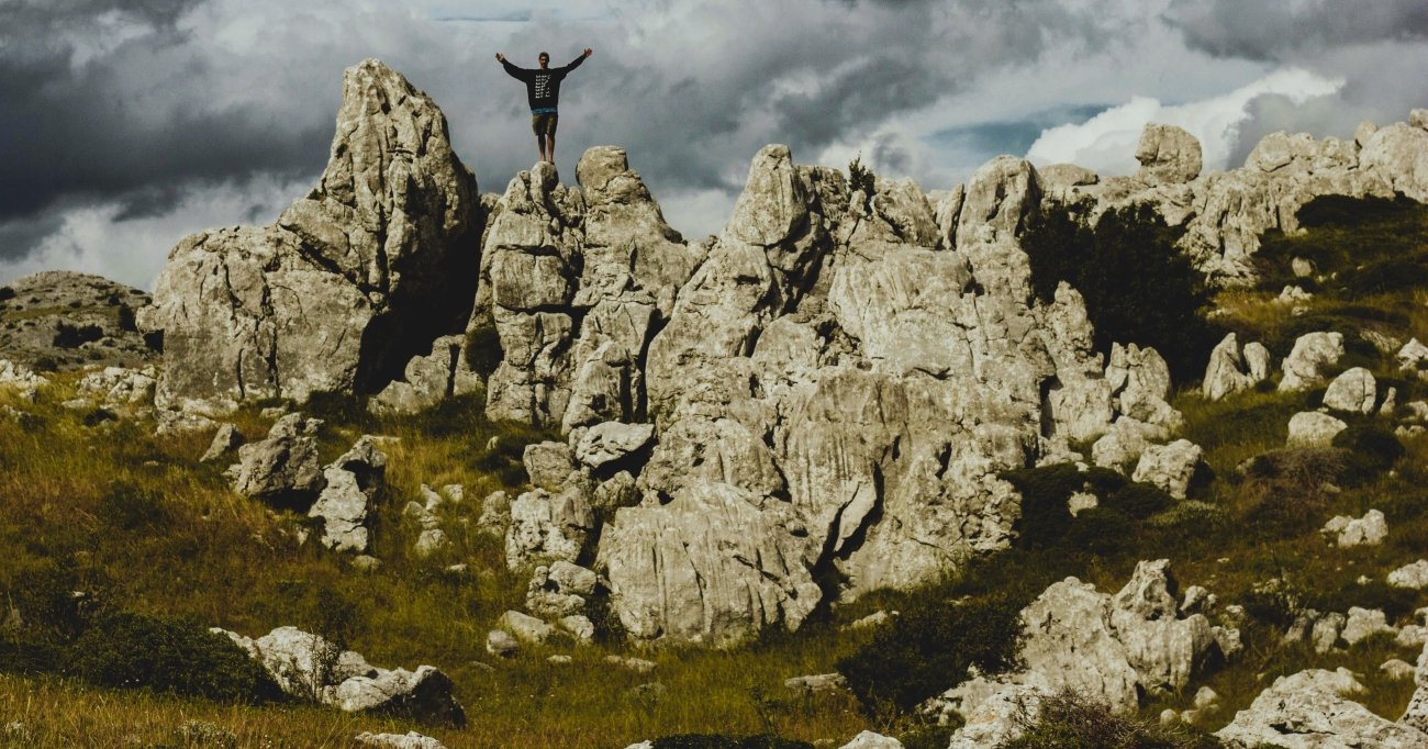
The best way to hear it is from the Premužić Trail, a stone path built in the 1930s that follows the ridge for about 57 kilometres. It threads between the Hajdučki and Rožanski kukovi, towers of white karst rising out of beech forest. The islands of Rab and Pag float in the sea far below. Up here, the only real noise is the bura, the cold north wind that sweeps down the mountain toward the coast.
- Go for: ridge hiking on the Premužić Trail, karst landscapes, endemic flowers such as the Velebit degenia, and mountain huts with views of the islands.
- When: June, and September to October. July and August are fine on the ridge, even when the coast is crowded.
- Getting there: for Northern Velebit, drive up from Senj or Jablanac to Zavižan. For the southern section, start from Starigrad-Paklenica.
How to travel quietly
Silence is a fragile resource, and every visitor spends a little of it. A few habits help keep these places as they are:
- Go off-season or early. Dawn and shoulder months give you the quiet and take pressure off the busiest weeks.
- Stay longer, move less. Two nights in one village make less noise than five stops in five days.
- Leave the speaker at home. On a trail or a shoreline, music carries much further than you think.
- Keep your distance from wildlife. Nesting birds, rutting elk and reindeer herds are easily disturbed.
- Spend locally. A guesthouse, a honey producer, an island shop: that is what keeps small communities alive.
Beyond the map
The noise of modern travel is easy to find. These five coordinates are the opposite. They are places where you come back with fewer photos and more memory. Pick one, go slowly, and listen.
Carry the quiet with you: Beyond the Map Field Guides
Our premium guides are made for travellers who want to go further than an article can take them.
Autumn Photography in Europe — The Beyond the Map Premium Guide Mist over Biebrza, golden birch in Lapland, beech forest on Velebit. This guide is for the season when Europe is at its quietest and most photogenic.
Overland & Campervan in the Balkans — The Beyond the Map Road Guide Velebit is only the beginning. This guide covers the slow roads, wild camps and mountain villages of the Balkans, for travellers who want to set their own pace.
Hidden Europe — The Beyond the Map Map Every coordinate in this article, and many more, gathered on one map of the Europe most travellers never see.
Explore more: Slow Escapes · The Wanders