Gilleleje sits at the northernmost tip of Zealand, the island that contains Copenhagen, looking across the Kattegat toward Sweden ten miles away. The water between them is narrow enough that on a clear day the Swedish coast is visible from the harbour wall. In October 1943, that visibility was the specific reason that Gilleleje became the most important single point of departure in one of the most extraordinary humanitarian operations of the Second World War.
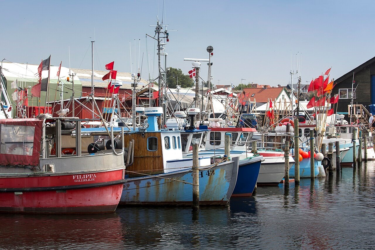
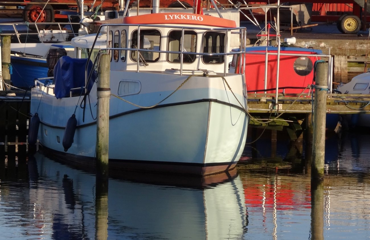
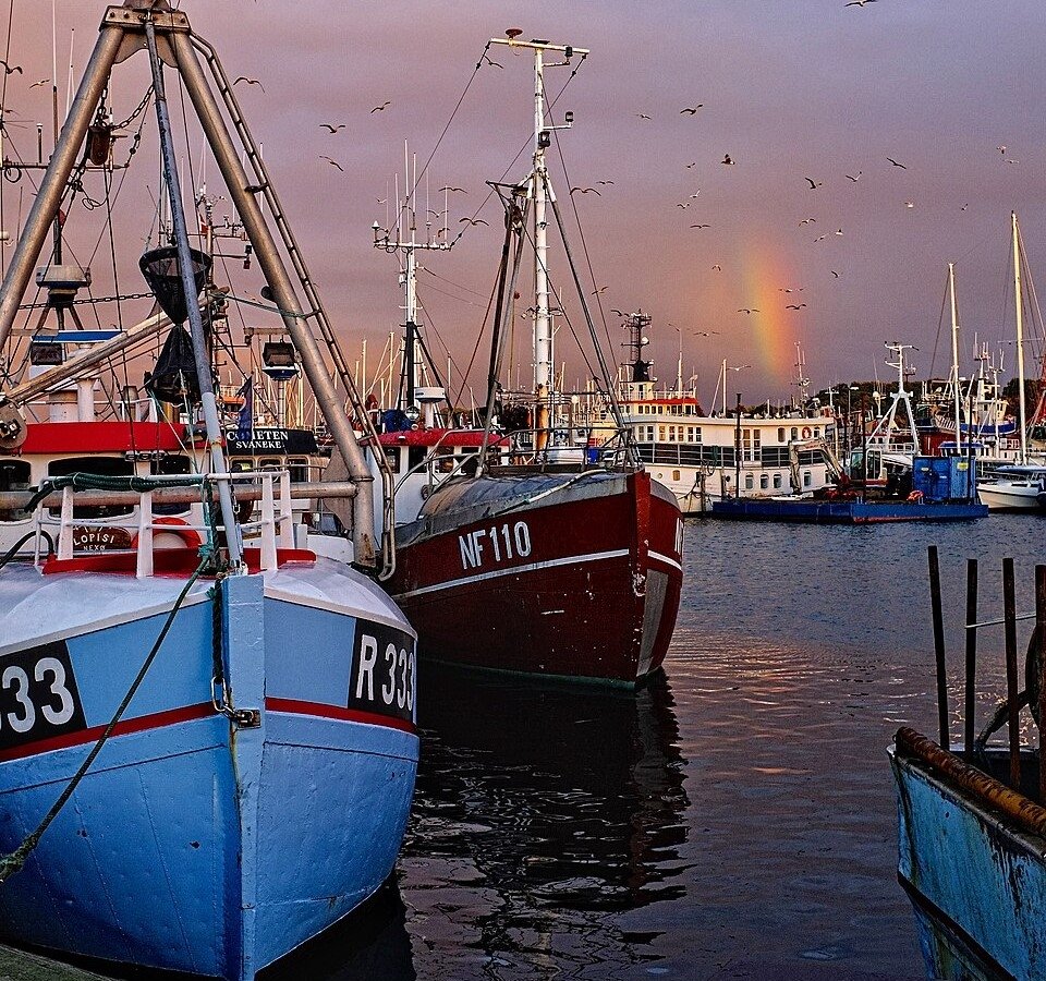
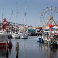
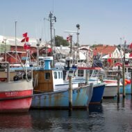
The town has been a fishing settlement since approximately 1500, when the fishermen who came for the seasonal herring runs decided to stay year-round, built a church, and established the community that has been here since. The harbour — Zealand’s largest commercial fishing port, the fifth largest in Denmark — is still working. The fish auction still operates. The smokehouse is still running. The fishing boats that go out in the morning and return in the afternoon are not a heritage attraction. They are the town’s economy, as they have been for five centuries.
This is Gilleleje’s specific character: a town that is simultaneously a working fishing harbour, a North Zealand summer resort, a place of significant historical weight, and the location where Søren Kierkegaard came in the summer of 1835 to think — and wrote, sitting on a clifftop above the sea, the journal entry that most clearly defines the question his entire philosophy was built around.
The harbour
GPS (harbour entrance, Havnevej): 56.1234°N · 12.3156°E GPS (fish auction, Auktionskajen): 56.1223°N · 12.3167°E
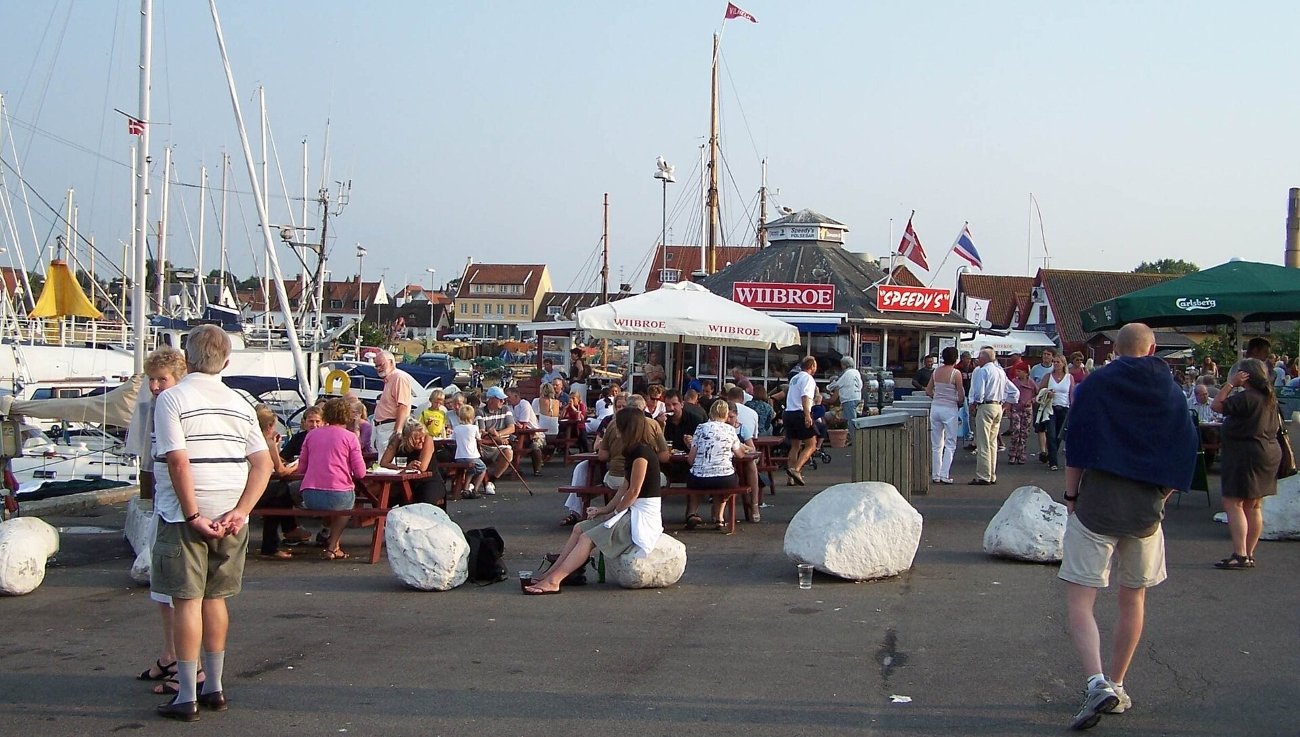
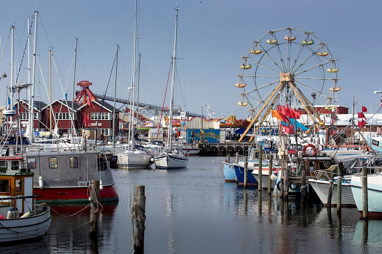
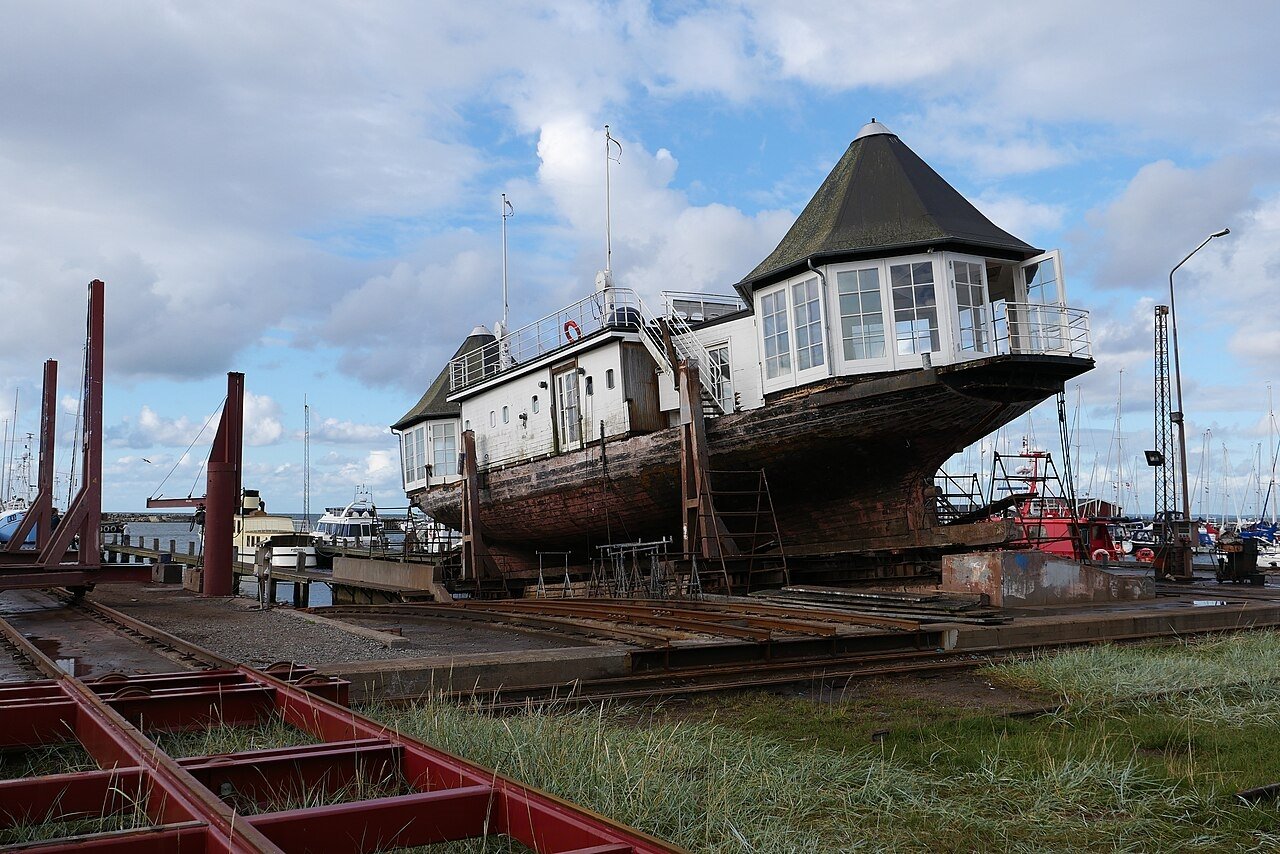
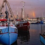
Gilleleje harbour was completed in 1873 and has been expanded several times since. What it offers today is the specific combination of a working commercial fishing operation and the life that gathers around it: the fish restaurants on the quay, the fishmongers with the morning’s catch, the ice factory and the fillet factory and the smokehouse whose output is on the counters before the town has finished its coffee.
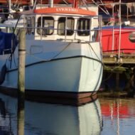
The clinker-built boats are the specific historical character of the harbour. The clinker technique — overlapping planks on the hull, a construction method with a 2,000-year history in the Nordic countries — is what the fishing boats of this coast were built on. The Gilleleje Museum holds one of the oldest clinker-built fishing boats in Denmark, a beach boat that fished from this coast for longer than any other comparable vessel in the country.
The harbour is always full of life, in the phrase that the local tourism uses and that happens to be accurate. The morning when the fleet returns, the afternoon when the auction sets the day’s prices, the evening when the quay restaurants fill with visitors who have come from Copenhagen specifically for the seafood — these are the rhythms of a harbour that has not become a museum of itself.
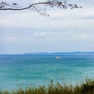
In October, the harbour empties of the summer yacht traffic and returns to its working character. The fish restaurants are quieter. The morning catch arrives without the crowd that gathers in July. The Kattegat in October is the sea in its autumn condition — grey-green, the waves building with the first autumn winds, the Swedish coast visible on clear days through the spray.
The church attic — October 1943
GPS (Gilleleje Church): 56.1223°N · 12.3145°E
On 3 October 1943, Reverend Kjeldgaard Jensen stepped into the pulpit of Gilleleje Church and read aloud the letter that the Lutheran bishops of Denmark had sent to every congregation in the country. The letter instructed Danes to help their Jewish neighbours. Jensen and the entire town began preparing.
The context: on 2 October 1943, the Gestapo had begun its operation to deport Denmark’s Jewish population. Germany had given the order. Danish government officials, tipped off by a German diplomat named Georg Ferdinand Duckwitz who warned the Danish resistance of the planned deportation, had passed the information to the Jewish community and to the resistance networks. Within days, a grassroots rescue operation was running across the entire Danish coastline — ordinary citizens hiding Jewish families, moving them to the coast, and arranging passage across the Øresund and the Kattegat to neutral Sweden.
Gilleleje, ten miles from Sweden at its nearest point, became the most significant single embarkation point. Nearly a fifth of all Danish Jews rescued in October 1943 passed through Gilleleje harbour. The fishermen did not charge for the first crossing. Later, when fuel costs became significant, the Danish resistance organised payment from public donations.
On the night of 5–6 October, the situation in Gilleleje became critical. More than 500 Jews had arrived in the town over the preceding days. The Gestapo, led by the German border patrol officer Hans Juhl — known as Gestapo-Juhl, a Danish-speaking officer who headed the Helsingør border post and was responsible for many of the arrests in North Zealand — had caught wind of the operations.
Pastor Jensen volunteered the church. Jewish families — elderly residents, parents with children — were hidden in the church attic above the nave, waiting for darkness and a boat.
On the night of 6–7 October, the Gestapo surrounded the building and threatened to burn it down. The 80 Jews hiding in the attic surrendered. They were arrested and eventually transported to the Theresienstadt concentration camp. Most survived the war and returned to Denmark after liberation.
The church attic is accessible today by appointment. Gilleleje Church itself, built in the 1530s, making it among the oldest Danish Protestant churches — Gilleleje’s fishermen were at the forefront of the Lutheran Reformation and built the first Protestant church in Denmark — stands at the centre of the town. The six memorial plaques marking the sites of October 1943 are distributed through the town and form a self-guided circuit that takes approximately 90 minutes.
The Gilleleje Museum has a permanent exhibition dedicated to October 1943 — the rescue, the arrests, the boats, the individual stories. It is the most specific and least generically handled Holocaust memorial exhibition in North Zealand.
Kierkegaard on the cliff
GPS (Søren Kierkegaard Stone): 56.1156°N · 12.2834°E
In August 1835, Søren Kierkegaard was 22 years old and spending the summer at Gilleleje. He walked the coastal paths above the Kattegat and wrote in his journal. One entry, dated 1 August 1835, contains the sentence that most clearly defines the question he spent his working life pursuing:
“What I really need is to be clear about what I must do, not what I must know — except insofar as knowledge must precede every act. What matters is to find my purpose, to see what it really is that God wills that I shall do; the crucial thing is to find a truth which is truth for me, to find the idea for which I am willing to live and die.”
He was sitting on the clifftop above Gilleleje, looking at the sea.
The Kierkegaard Stone — a memorial monument on the coastal path above the town — marks the approximate position. The walk from the harbour to the stone follows the coastal footpath that Kierkegaard himself walked. The 12km Kierkegaard by Nature route, downloadable via the Useeum app, traces the full circuit of the walks that formed the framework of his thinking during that summer.
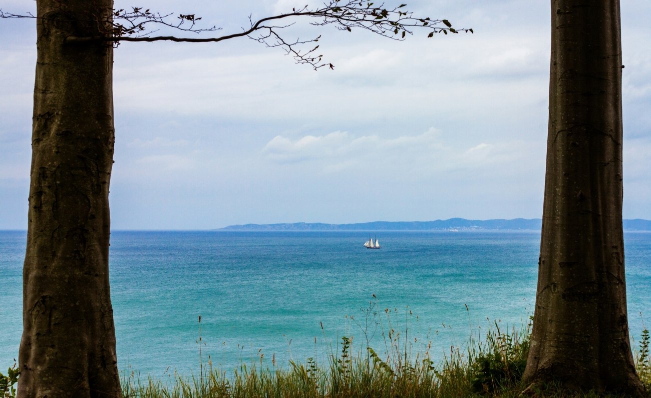
The philosophical content is secondary to the physical experience of the path. The North Zealand coastal path above Gilleleje is clifftop walking — the sea visible below, the beech forest of the Gribskov behind, the Swedish coast intermittently visible across the water — in the condition that produced the most honest single sentence Kierkegaard ever wrote about what he was doing. In October, the path has almost no other walkers. The question he asked himself on a clifftop above this town in the summer of 1835 does not require a philosopher to understand.
The lighthouse walk
GPS (Nakkehoved lighthouse): 56.1245°N · 12.3512°E
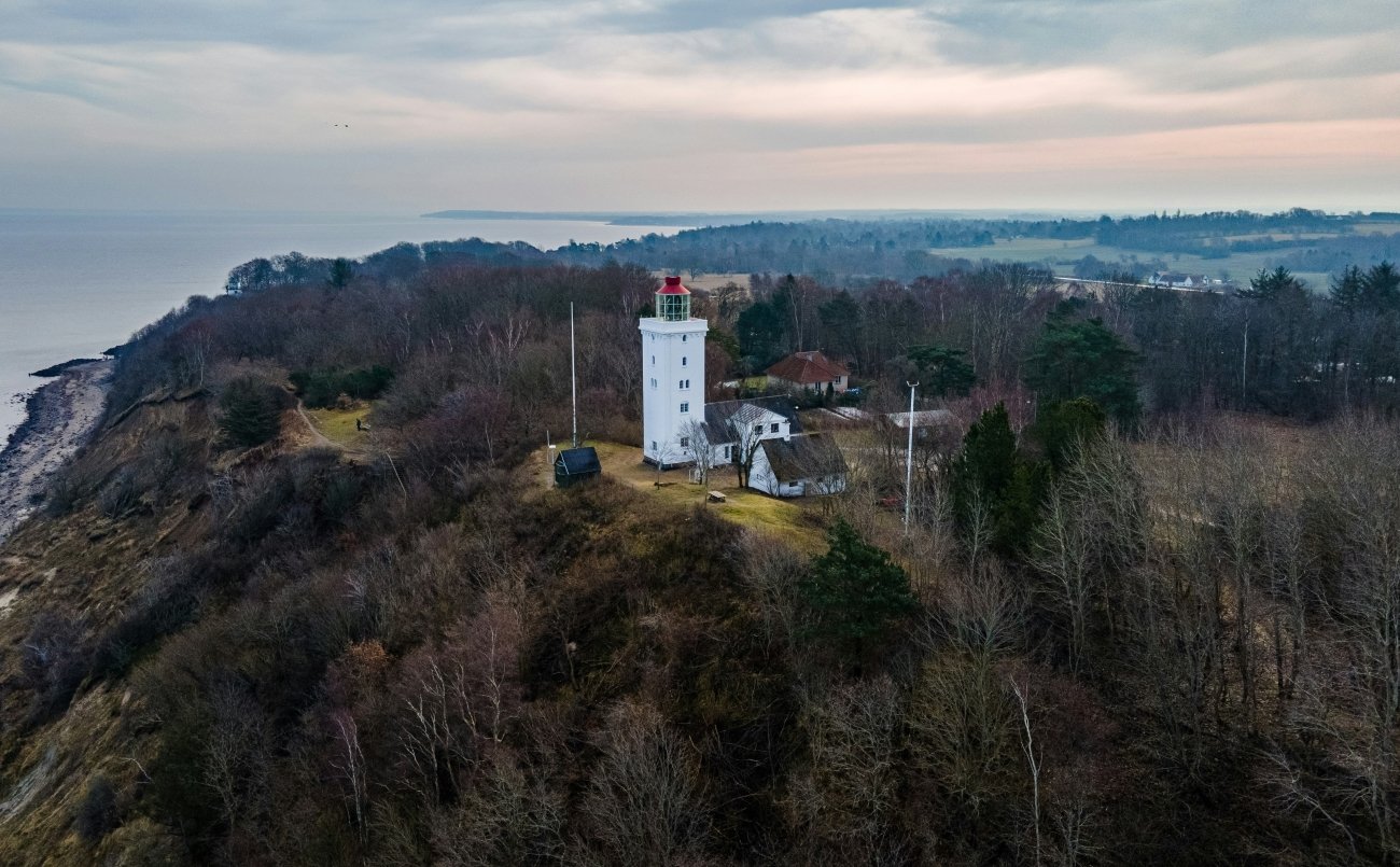
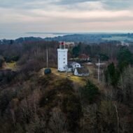
Nakkehoved Lighthouse stands on the headland east of Gilleleje, a 20-minute walk along the coastal footpath from the harbour on Hovedgade. The lighthouse has been warning shipping about the grounds at Gilleleje since 1772. The headland it occupies — Nakkehoved, the neck point — is the first significant promontory east of the harbour and the position from which the coast turns south toward Helsingør and the Øresund.
The walk from the harbour to the lighthouse is the correct introduction to the Gilleleje coastline in October. The path passes above the beach, the North Sea visible to the left, the beech trees of the coastal fringe turning in the second week of October on the right. At the lighthouse, the views extend east along the coast toward Helsingør and across to Sweden. On a clear October day the Swedish coastline is specific and close, the distance that the fishing boats crossed in October 1943 entirely comprehensible from this position.
The Lighthouse History Museum adjacent to the tower documents the history of the Danish lighthouse system. Entry is combined with the approach to the lighthouse itself.
The town in October
Gilleleje in summer is a North Zealand resort — the Copenhageners who come for the beach, the harbour restaurants, the antique shops on Hovedgade that the Frommer’s guide noted contain more shops per capita than virtually any other small town in Zealand. In October, the resort character recedes and the working town character returns.
The Sladrebænken — the gossip bench in the centre of town, a traditional meeting point whose name translates as the slander bench — is a specific Gilleleje institution. The bench is where town news has historically been exchanged. It is still there.
Kulturhavn Gilleleje — the cultural harbour centre — occupies the former fish auction building on the waterfront and hosts exhibitions and events through the year. The building itself is the specific architecture of a working harbour: industrial, functional, now repurposed without destroying its character.
The Gribskov — the Grip Forest — begins immediately south of the town and extends inland across the North Zealand plateau. It is one of the largest beech forests in Denmark and turns in the third week of October. The forest is crossed by cycling routes that connect Gilleleje to Hillerød and the Frederiksborg Castle to the south.
Getting here: Train from Copenhagen Central (Hillerød via S-tog, then Lokalbane to Gilleleje) approximately 90 minutes. By car via the E47 motorway north, turning onto Route 6 — approximately 60km, one hour from Copenhagen.
What to look for specifically: The fish auction on weekday mornings · the church attic (appointment required — contact the church office) · the October 1943 memorial plaque circuit (self-guided, 90 minutes) · the Nakkehoved lighthouse walk · the Kierkegaard Stone on the coastal path · the Gribskov forest cycling routes in autumn colour · the smoked fish from the harbour smokehouse
→ From The Wanders Beyond the Map seasonal and editorial series:
Autumn in the Balkans — The Beyond the Map Seasonal Guide The complete Balkans autumn guide with GPS atlas, photography positions and village-by-village editorial depth for nine countries.
Autumn Photography in Europe — The Beyond the Map Premium Guide 100 confirmed photography locations across 20 European countries. 175 GPS coordinates. The specific light windows, timing and technical intelligence for the autumn photograph. 80 pages.
Europe in Autumn — The Beyond the Map Guide The complete seasonal guide to European autumn — country by country, week by week, the editorial intelligence for the continent in October.