46.63° N, 10.45° E · Müstair, Val Müstair, Graubünden
- At a glance
- The Convent of St. John
- A valley of Romansh
- The villages
- The year in Val Müstair
- Living crafts
- The Biosfera and the National Park
- Getting there
- Where to stay
- Visiting with respect
- Frequently asked questions
- Beyond the map
- Part of the Civilisation Trails
- Carry the journey with you: Beyond the Map Field Guides
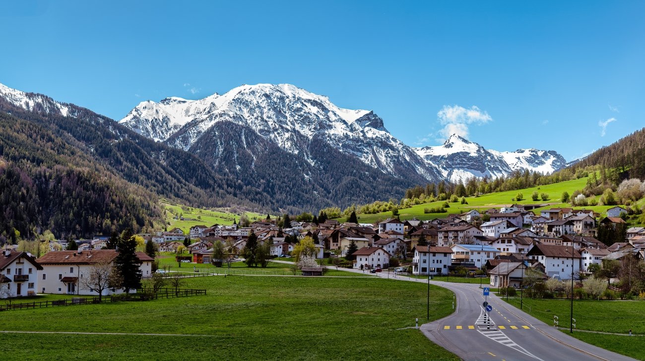
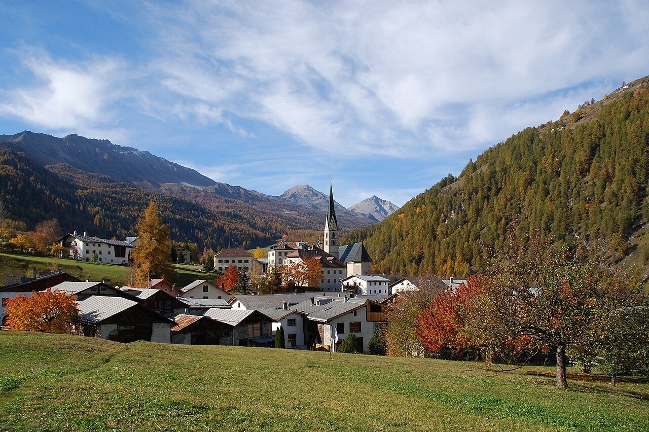
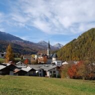
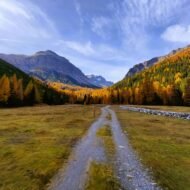
At the far eastern edge of Switzerland, beyond the Ofen Pass and the forests of the Swiss National Park, a quiet valley runs down towards Italy. Its last village, a stone’s throw from the border, is built around a white-walled convent. Inside the convent church, the walls are covered from floor to ceiling with paintings made more than twelve hundred years ago, in the age of Charlemagne.
This is Val Müstair. The valley takes its name from that convent, Müstair coming from the Latin monasterium. Benedictine nuns still live and pray there today. Around it, the people of the valley speak their own form of Romansh, keep customs that mark the turning of the seasons, and weave cloth on looms more than a hundred years old. It is one of the quietest corners of the Alps, and one of the richest.
At a glance
| Where | Eastern Graubünden, on the Italian border, between the Ofen Pass and South Tyrol |
| Known for | The Convent of St. John, a UNESCO World Heritage Site with 9th-century frescoes |
| Language | Romansh (the Jauer variety); German in neighbouring Taufers, Italy |
| Landscape | UNESCO Biosfera Engiadina Val Müstair, next to the Swiss National Park |
| Best time | June to October; 1 March for Chalandamarz |
| Nearest railway | Zernez (Rhaetian Railway) or Mals/Malles (Vinschgau line, Italy) |
The Convent of St. John
The Benedictine Convent of St. John in Müstair was founded around the year 800 and is traditionally attributed to Charlemagne. Tradition says he passed through the valley after being crowned King of the Lombards, and ordered a monastery built to guard the route between the Frankish kingdom and Italy. It began as a community of monks; it has been a convent of Benedictine nuns since the 12th century, and nuns still live there today.
Its greatest treasure was rediscovered only at the end of the 19th century. Under later layers of plaster, restorers found a complete cycle of Carolingian frescoes from the 9th century: scenes from the life of Christ and the Last Judgement, painted across the walls of the church. They are among the largest and best-preserved fresco cycles of the early Middle Ages anywhere in Europe. Above them, Romanesque paintings from the 12th and 13th centuries add a second layer of history. In 1983, the convent was added to the UNESCO World Heritage List.
The convent museum tells the story of the site and of the nuns’ daily life over more than a thousand years. Standing in the church, in the quiet of a weekday morning, it is easy to forget that this is a working convent at the edge of a modern country. It feels much closer to the world of the scribes and pilgrims who first came through this valley.
A valley of Romansh
Romansh is one of Switzerland’s four national languages, but it is spoken by fewer than one in a hundred Swiss. It survives in the valleys of Graubünden, each with its own variety. In Val Müstair that variety is called Jauer, and it is still the language of the villages, the school and the street.
Just across the border, in Taufers (Tubre) in South Tyrol, people speak a German dialect, while Italian is spoken further down the valley. Few places in Europe show so clearly how languages follow valleys rather than borders. The Senda da las linguas, a language trail with short audio plays in Jauer, lets visitors hear it along the way.
The villages
The valley road links a string of small villages, each with its own character:
- Tschierv and Fuldera, at the top of the valley, surrounded by larch forest and pasture.
- Lü, a tiny village on a sunny terrace high above the valley floor, with wide views and dark night skies.
- Valchava, home of the valley museum Chasa Jaura and of the harvest festival in October.
- Sta. Maria, with the Tessanda handweaving workshop and the historic water mill, Muglin Mall.
- Müstair, around the convent, at the border with Italy.
Many houses are decorated with sgraffito: patterns scratched into the white lime plaster of the façades, a craft typical of the Engadine and its neighbouring valleys.
The year in Val Müstair
The valley still marks the seasons with old customs:
- 1 March — Chalandamarz. Children walk through the villages ringing cowbells and cracking whips to drive away the winter.
- The first Sunday of Lent — Scheibenschlagen in Taufers. Burning wooden discs are hurled from the slopes into the valley.
- Summer — Herz-Jesu-Feuer in Taufers. Fires are lit on the mountains on the third Sunday after Pentecost.
- Early August — Museum Day. The valley’s cultural sites open together with a special programme.
- Early autumn — the Alpabzug. The cattle come down from the summer pastures, the best cows crowned with flowers and headdresses.
- The first Sunday in October — Festa da la racolta in Valchava. A harvest parade, market and festival.
- The second Saturday in October — Flachs-Brächete. Flax is processed by hand with traditional tools, as it was for centuries.
Living crafts
Tessanda in Sta. Maria is one of the last handweaving workshops in Switzerland. Weavers work on looms, some of them more than a hundred years old, producing simple, modern linen and cotton textiles. Visitors can watch the weavers at work, and guided tours are held weekly in season.
Muglin Mall, also in Sta. Maria, is a historic water mill where you can see how flour was ground in the valley for generations.
Chasa Jaura in Valchava is the valley’s museum and cultural centre, with exhibitions on local life, art and history.
The Biosfera and the National Park
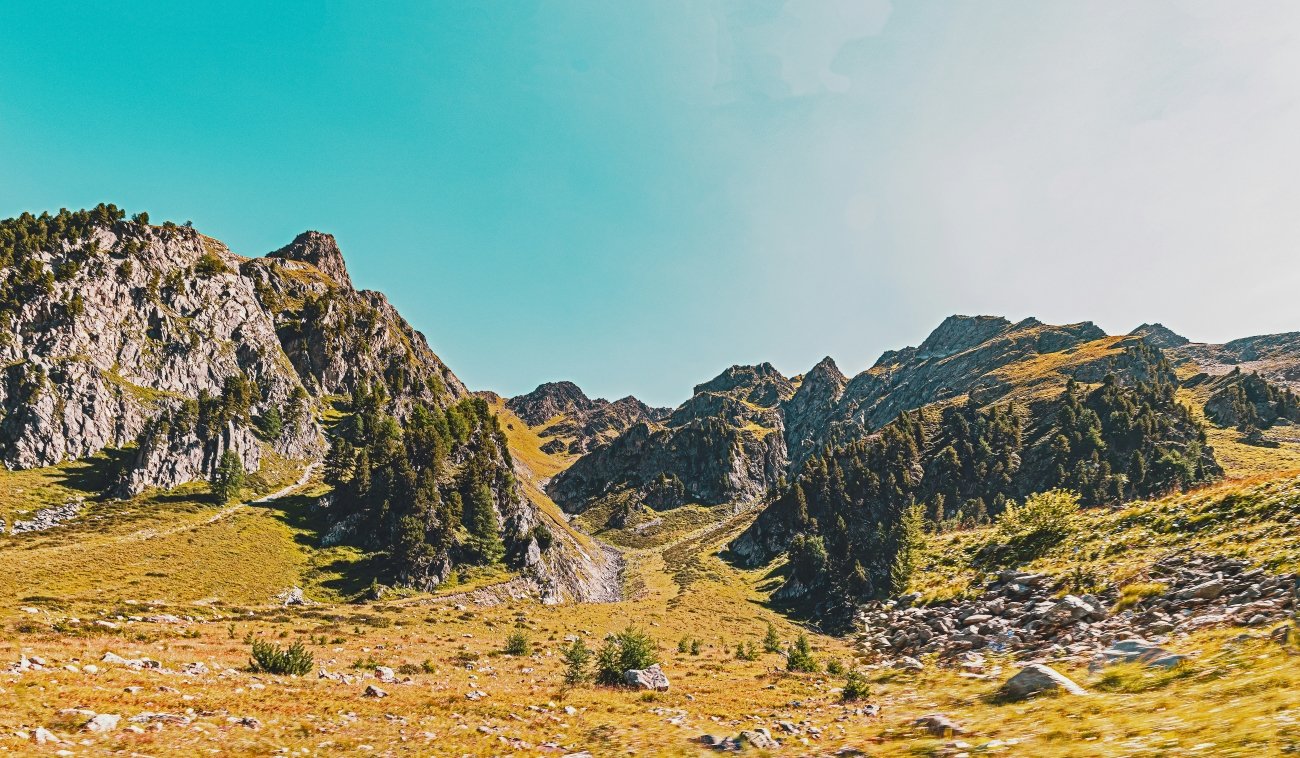
Val Müstair is part of the UNESCO Biosfera Engiadina Val Müstair, together with the Swiss National Park. Founded in 1914, the park is the oldest national park in the Alps. The road over the Ofen Pass (Pass dal Fuorn, 2,149 m) runs straight through it, past forests of mountain pine, open meadows and the chance of seeing red deer, chamois and golden eagles.
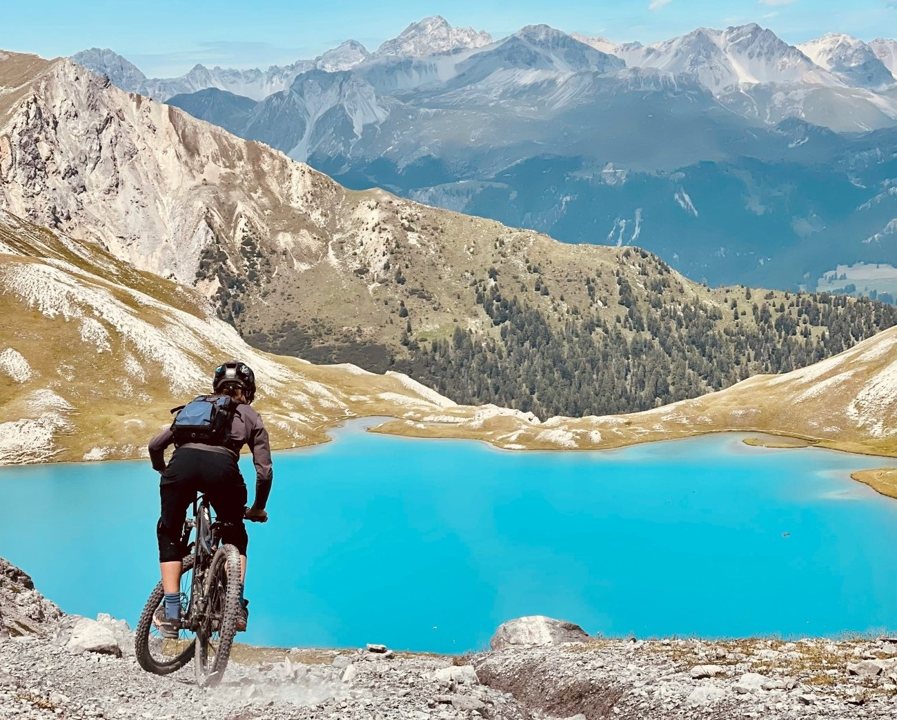
In the valley itself, the biosphere protects a living cultural landscape: hay meadows, terraced fields, small farms and villages managed much as they have been for centuries. From Sta. Maria, the Umbrail Pass climbs to 2,501 metres, the highest road pass in Switzerland, and links to the Stelvio Pass in Italy.
Getting there
- By train and bus from Switzerland: take the Rhaetian Railway to Zernez in the Engadine, then the PostBus over the Ofen Pass to Müstair, a scenic ride through the Swiss National Park.
- By train and bus from Italy: take the Vinschgau railway to Mals/Malles in South Tyrol, then the bus up the valley to Müstair.
- By car: over the Ofen Pass from Zernez, from South Tyrol via Taufers, or in summer over the Umbrail Pass from the Stelvio.
Where to stay
The valley has small family hotels, guesthouses and holiday apartments in Müstair, Sta. Maria, Valchava and Tschierv. For a quieter stay with views, look for rooms in Lü. In summer and early autumn, book ahead.
[Accommodation affiliate box: Val Müstair]
Visiting with respect
- The convent is a place of prayer. Visit quietly, dress respectfully and follow the rules on photography in the church.
- Stay on the paths in the Swiss National Park, where strict rules protect the wildlife.
- Buy local. Textiles from Tessanda, cheese and meat from the valley’s farms keep its economy and crafts alive.
- Use public transport. The PostBus connects every village and keeps traffic off the mountain roads.
Frequently asked questions
Why is the Müstair convent a UNESCO World Heritage Site? Because of its 9th-century Carolingian frescoes, among the largest and best-preserved fresco cycles of the early Middle Ages, and its history as a monastery founded around 800 and attributed to Charlemagne. It was listed in 1983.
Do nuns still live at the Convent of St. John? Yes. It has been a Benedictine convent since the 12th century, and a community of nuns still lives there.
What language is spoken in Val Müstair? Romansh, in its local Jauer variety. German is spoken in neighbouring Taufers, on the Italian side of the border.
How do I get to Val Müstair without a car? Take the train to Zernez and the PostBus over the Ofen Pass, or the train to Mals in South Tyrol and the bus up the valley.
Beyond the map
Val Müstair is what Europe looked like when its roads were still pilgrim paths: a valley shaped by a monastery, a language that belongs only to it, and a calendar of customs that still follows the seasons. Most travellers drive over the Ofen Pass on their way somewhere else. Stop here instead, and stay long enough to hear the convent bell at evening.
Part of the Civilisation Trails
This article is part of [Civilisation Trails: Carolingian Europe] (pillar link to add), our guide to the empires, faiths and cultures that shaped the Europe beyond the obvious.
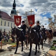
Read next: Crostwitz: Where Easter Arrives on Horseback (update with the published URL)
Carry the journey with you: Beyond the Map Field Guides
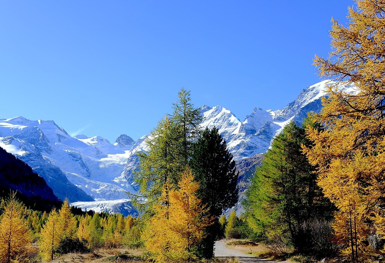
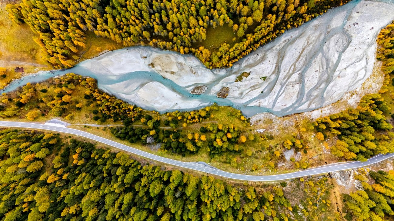
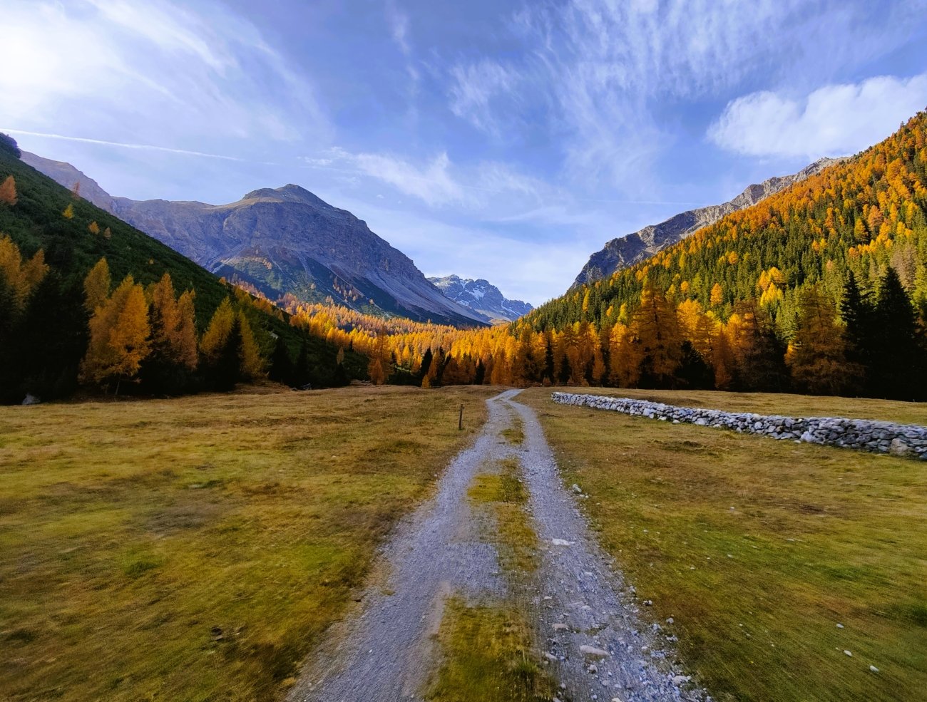
Autumn Photography in Europe — The Beyond the Map Premium Guide Golden larches above Val Müstair, the cattle coming down from the pastures, October light over the Ofen Pass. This guide is for the season when the Alps are at their quietest and most beautiful.
Hidden Europe — The Beyond the Map Map Val Müstair and hundreds of other coordinates, on one map of the Europe most travellers never see.
Explore more: Trails · Living Traditions · Alta Via