

From a Slavic temple on a Baltic cliff to a Sámi thunder island in Lapland, five places across Europe where the old gods were worshipped long after the churches came, and where their memory has never quite gone.
In the first part of this journey, we followed the old gods through the Baltic, the last corner of Europe to accept Christianity. But the Baltic was not alone. Across the continent, from the chalk cliffs of Germany to the lakes of the Arctic, there are places where pagan worship held on for centuries, or where its memory still shapes the landscape and the calendar.
Some of these places are ruins, wrapped in legend. Some are still sacred to the people who live around them. One is a winter festival, where masked figures still chase away the cold every February. All of them are quieter, stranger and older than most of the Europe we know.
These are five more of Europe’s last pagan landscapes:
- the cliff-top temple of a four-faced Slavic god on the island of Rügen
- a holy mountain in Silesia, with stone bears and a maiden with a fish
- a Sámi island of the thunder god in the middle of an Arctic lake
- a cluster of sandstone towers in the Teutoburg Forest
- a town on the Danube where masked busós drive out the winter
1. Cape Arkona, Rügen, Germany
54.68° N, 13.43° E · Putgarten, Wittow peninsula, Rügen
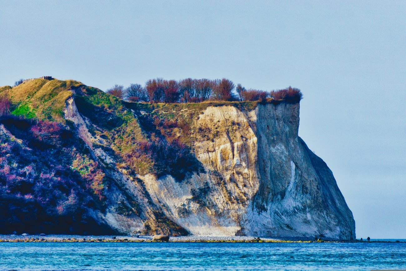
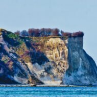
At the northern tip of Rügen, Germany’s largest island, white chalk cliffs rise up to 45 metres above the Baltic. On their edge stood one of the most important temples of the pagan Slavs: the sanctuary of Svantevit, god of the Rani tribe, inside the fortress known today as Jaromarsburg. For three centuries, from the 9th to the 12th, it was an oracle and a place of pilgrimage, receiving offerings from far beyond the island.
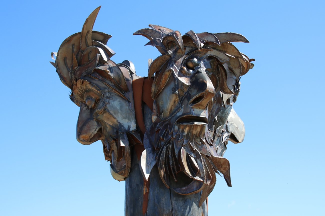
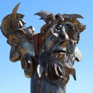
The Danish chronicler Saxo Grammaticus described what stood inside: a statue of the god, about four metres high, carved from oak, with four heads. In his right hand Svantevit held a drinking horn. Each year, the priest filled it with mead, and from how much had been lost over the year, he foretold the coming harvest.
In 1168, King Valdemar I of Denmark and Bishop Absalon landed at Arkona with their fleet. After a siege of four weeks, they set fire to the fortress. The temple was destroyed, and the great wooden god was cut into pieces and burned. Arkona was one of the last great pagan sanctuaries of the western Slavs to fall.
Today, the sea is finishing what the Danes began. The cliffs erode a little every year, and much of the fortress has fallen into the Baltic. What remains is the great earth rampart, curving across the headland, with the wind and the sea birds above it.
Missing Coordinates Highlights
- The ramparts of Jaromarsburg on the cliff edge
- The two lighthouses of Cape Arkona, both open to climb
- Vitt, a tiny fishing village of thatched houses and a 19th-century octagonal chapel
- Cliff-top walks with views, on clear days, towards Denmark
When: May to October for walking; late autumn and winter for empty cliffs and wild seas. Getting there: cross to Rügen from Stralsund by road or rail. The cape is car-free: park in Putgarten, then walk, cycle, or take the small Arkona-Bahn or a horse-drawn carriage.
2. Ślęża, Poland
50.86° N, 16.71° E · Sobótka, Lower Silesia
About 40 kilometres south-west of Wrocław, a single mountain rises from the flat farmland of Lower Silesia. Ślęża is only 718 metres high, but on the open plain it dominates everything around it, and for thousands of years people have treated it as a holy place.
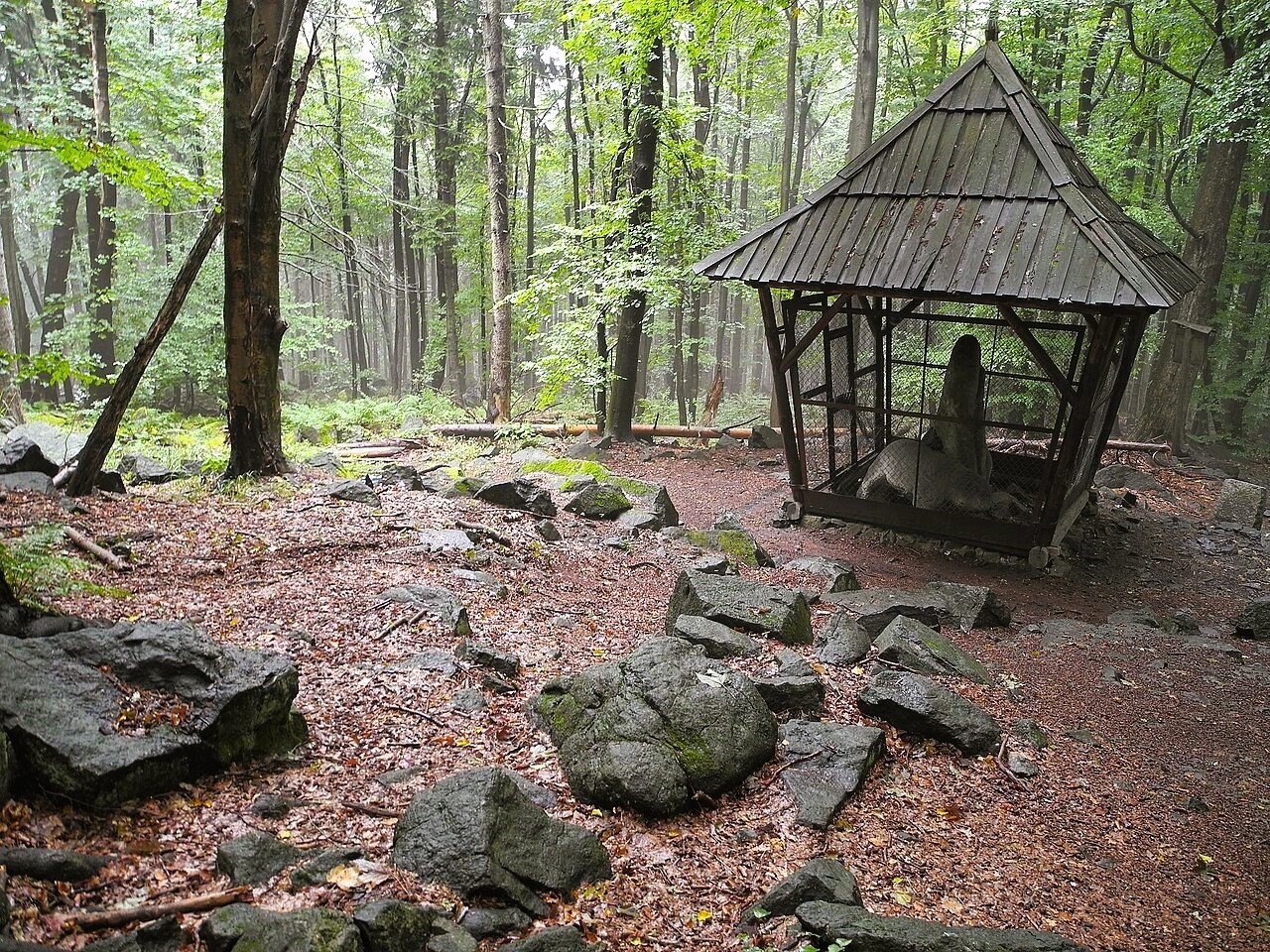
In 1017, the German chronicler Thietmar of Merseburg wrote that the mountain was greatly revered by the local people, because of the pagan rites once held there. Long before the Slavs, earlier peoples had already marked it: rings of stone surround two of its lower summits, probably from the Bronze or Iron Age. On the slopes and in the town of Sobótka stand mysterious stone sculptures, among them two bears and a headless “Maiden with a Fish“, each carved with an X-shaped sign. Who made them, and when, is still debated; many scholars believe they are Celtic.
Some researchers even think the name of the whole region, Silesia, may come from this mountain. Today a church stands on the summit, and hikers climb the old paths that pilgrims once followed.
Missing Coordinates Highlights
- The stone sculptures of bears and the Maiden with a Fish
- The ancient stone rings on the lower summits
- The summit church, observation tower and mountain hut
- Wide views across the Silesian plain to the Sudetes
When: spring to autumn for hiking; clear autumn days for the longest views. Getting there: buses run from Wrocław to Sobótka in about 50 minutes. From the town square, the red trail reaches the summit in about two hours.
3. Ukonsaari, Lake Inari, Finland
68.92° N, 27.29° E · Lake Inari, Finnish Lapland
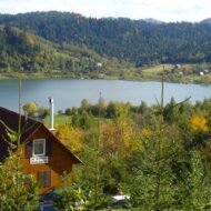
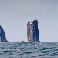
In the far north of Finland, Lake Inari stretches for tens of kilometres among low forest and thousands of islands. One of them stands out: a steep, rocky island more than 30 metres high, rising from the open water east of Inari village. The Inari Sámi call it Äijih, a word that means an old, wise man, a grandfather, or thunder. In Finnish it is Ukonsaari, the island of Ukko, the thunder god.
It was the most important sacrificial site of the Sámi in this region. In 1873, a young English archaeologist excavated on the island for a single day and found antlers, bones, and a fragment of silver head jewellery from around 1100–1200. His name was Arthur Evans, the man who, decades later, would excavate the palace of Knossos on Crete. Later excavations found more offerings, with bones dated to between 1430 and 1630, and Russian coins from the early 17th century.
For many years, boats carried tourists to the island. In 2019, the main local tour operator ended its trips, after long debate in Inari about visitors who walked off the paths and ignored the island’s sacred status. Ukonsaari is not a ruin. For many Sámi, it is still a holy place.
Missing Coordinates Highlights
- Seeing the island from the water, or from the shore of Lake Inari
- Siida, the Sámi museum and nature centre in Inari village
- Sámi culture, crafts and the Inari Sámi language
- The northern lights over the lake from late August to early April
When: summer for the midnight sun and the open lake; autumn and winter for the northern lights. Getting there: fly to Ivalo, about 40 kilometres from Inari village. Please view the island from a distance; do not land.
4. The Externsteine, Germany
51.87° N, 8.92° E · Horn-Bad Meinberg, Teutoburg Forest
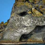
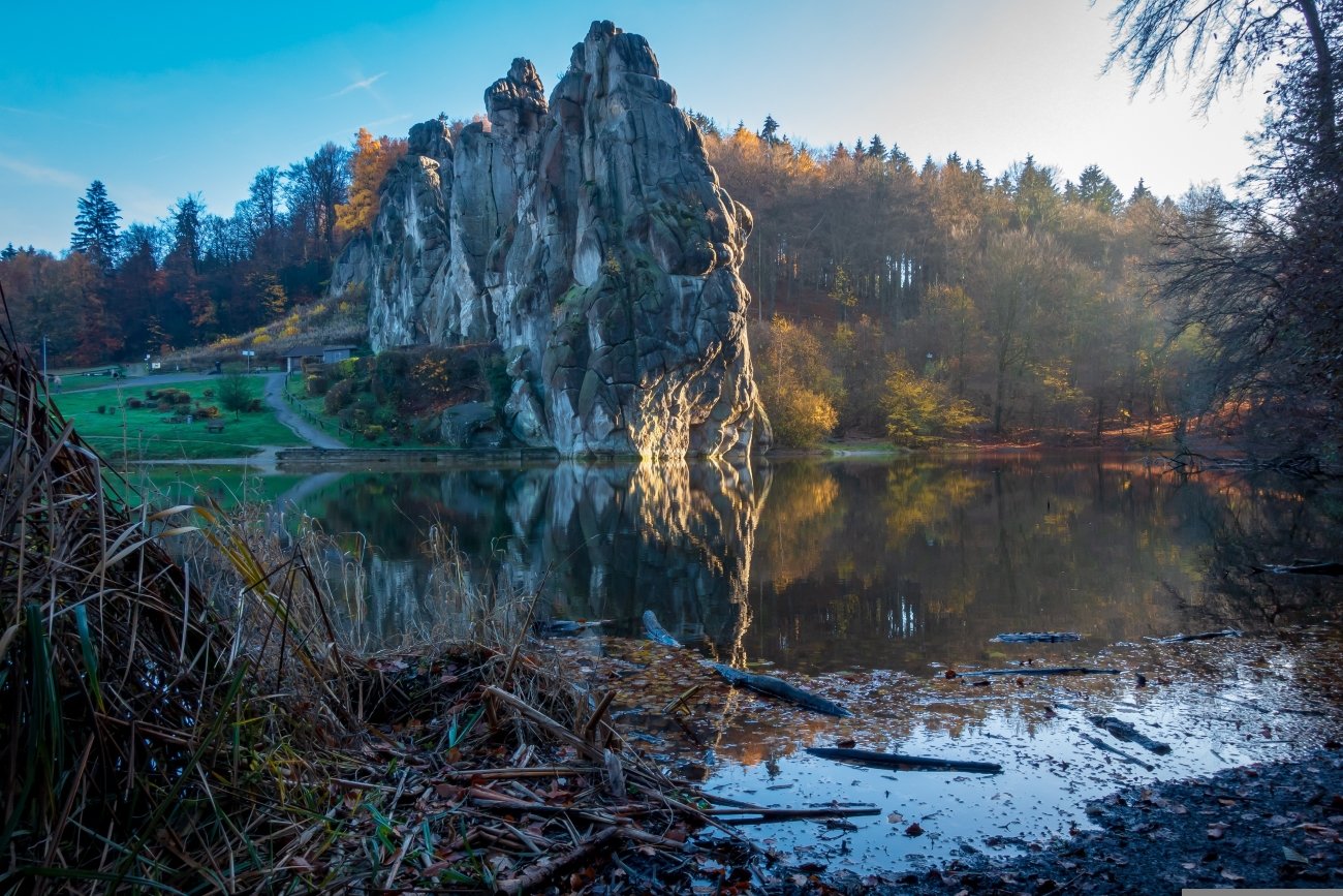
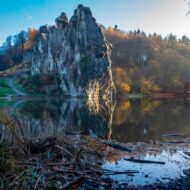
In the Teutoburg Forest, near Detmold, thirteen sandstone pillars rise out of the trees, the tallest about 37 metres high. With their caves, carved stairways and a small lake at their feet, the Externsteine look like something built, not something grown.
What is certain about them is Christian. In the Middle Ages, hermits lived here and monks cut a chapel into the rock; an inscription in the main grotto records an altar consecrated in 1115. On one face of the rock is a great relief of the Descent from the Cross, about 4.8 metres high and carved around 1160–1170, one of the oldest of its kind north of the Alps.
What is uncertain is everything older. For centuries, people have imagined the Externsteine as a pagan sanctuary of the Saxons, perhaps the site of the Irminsul, their sacred pillar destroyed by Charlemagne. In the 1920s and 1930s, these ideas were taken up by German nationalists and then by the Nazi regime, who claimed the rocks as a “Germanic” holy site. Archaeologists have never found proof of a pagan cult here, but the rocks still draw modern pagans on the summer solstice and Walpurgis Night.
The Externsteine are a lesson in how a landscape can carry myths that are bigger than its history, and how those myths can be used. Visit them on a quiet morning, and they are simply extraordinary.
Missing Coordinates Highlights
- The 12th-century Descent from the Cross relief
- The rock chapel and the grottoes cut into the sandstone
- Stairways and a small bridge between the pillars
- Forest walks in the Teutoburg Forest
When: all year; early morning or late afternoon for fewer visitors and the best light. Getting there: about 20 minutes by car from Detmold, which has rail connections to Bielefeld and Hanover.
5. Busójárás, Mohács, Hungary
45.99° N, 18.68° E · Mohács, on the Danube, southern Hungary
Every February, at the end of Carnival, the small Danube town of Mohács is invaded by monsters. Men in sheepskin coats, worn with the fur outside, and huge horned masks carved from willow wood, roam the streets with rattles, cowbells and wooden clappers. They are the busós, and their festival, Busójárás, is one of the great winter rituals of Europe.
The custom belongs to the Šokci, a South Slavic community that settled in Mohács after the end of Ottoman rule in the late 17th century. The town’s favourite legend says the busós once frightened the Turks out of Mohács. The older story is simpler: the masks are there to scare away winter itself.
Busójárás lasts six days. On the main Sunday, the busós cross the Danube in boats and march into the town. On Shrove Tuesday, the last night of Carnival, a coffin representing winter is burned on a great bonfire in the main square, and the people dance around it to welcome the spring. In 2009, Busójárás was added to UNESCO’s list of the Intangible Cultural Heritage of Humanity.
Missing Coordinates Highlights
- The busós’ carved willow masks and sheepskin costumes
- Boats crossing the Danube on Carnival Sunday
- The burning of winter’s coffin on Shrove Tuesday
- Mask carvers’ workshops in the town
When: six days ending on Shrove Tuesday. In 2027, Busójárás runs from 4 to 9 February. Getting there: by car or bus from Budapest, about two and a half to three hours to the south; Pécs is about an hour away.
How to visit sacred places
Some of these places are ruins; others are still sacred. A few habits help everywhere:
- Respect living sacred sites. At Ukonsaari, that means not landing on the island at all.
- Stay on paths at Arkona and the Externsteine, where cliffs and rocks are fragile.
- Be careful with symbols. Some sites, such as the Externsteine, have been misused by extremist movements. Know the history before you share images or slogans.
- Join festivals as a guest. At Busójárás, enjoy the noise, but let the busós lead.
- Leave no trace, in forests, on cliffs and on lakeshores.
Frequently asked questions
What was Cape Arkona? The site of the temple of Svantevit, the god of the Slavic Rani tribe, on the island of Rügen. It was destroyed by the Danes in 1168.
Can you visit Ukonsaari? You can see it from Lake Inari, but it is a Sámi sacred site, and visitors are asked not to land on the island.
Were the Externsteine a pagan sanctuary? There is no archaeological proof. The rocks were a Christian site in the Middle Ages; the pagan theories became popular in the 20th century, partly through nationalist movements.
When is Busójárás in 2027? From Thursday 4 to Tuesday 9 February 2027, ending on Shrove Tuesday.
Beyond the map
Europe was converted slowly, valley by valley and island by island. On a cliff in the Baltic, the last wooden god of the western Slavs burned in 1168. On a mountain in Silesia, stone bears outlasted the faith that carved them. On an island in an Arctic lake, offerings were still being made when Shakespeare was writing. And in a town on the Danube, men in masks still chase away the winter every February. The old gods did not vanish. They went quiet, and they waited in the landscape.
Read next: Europe’s Last Pagan Landscapes (part one, the Baltic) · Salme: Before the Vikings · Where Europe’s Myths Began (update with the published URLs)
Part of the Civilisation Trails
This article continues Europe’s Last Pagan Landscapes, our journey through the places where Europe’s old faiths survived the longest.
Carry the journey with you: Beyond the Map Field Guides
Hidden Europe — The Beyond the Map Map Every sacred site in this article, and hundreds more places, on one map of the Europe most travellers never see.
Explore more: Trails · Living Traditions · Terra Incognita