

Five places where the walls still stand and people still live inside them: a pink town above a Spanish gorge, a Byzantine city on a rock in the sea, a Bosnian fortress village over a river canyon, a star-shaped fort on the Dutch–German border, and a painted town on the only navigable river in Sardinia.
Europe’s famous medieval towns, such as Carcassonne, Dubrovnik and Rothenburg, are wonderful, and they are full. But there are other places where the Middle Ages survived almost by accident: too remote to be rebuilt, too poor to be modernised, too awkward to reach for the tour buses. Their walls were never torn down, their streets never widened, and their people never left.
These five hidden medieval worlds are still lived in. You can sleep inside their walls, eat in their squares, and walk their lanes after the day visitors have gone, which is when they are at their best.
- Albarracín, Spain: a pink walled town above the Guadalaviar gorge
- Monemvasia, Greece: a Byzantine city with a single entrance
- Vranduk, Bosnia and Herzegovina: a fortress village above the Bosna canyon
- Bourtange, Netherlands: a star fort frozen in time
- Bosa, Sardinia: painted houses below a Malaspina castle
1. Albarracín, Spain
40.41° N, 1.44° W · Sierra de Albarracín, Teruel, Aragon · about 1,170 m
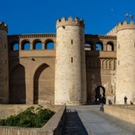
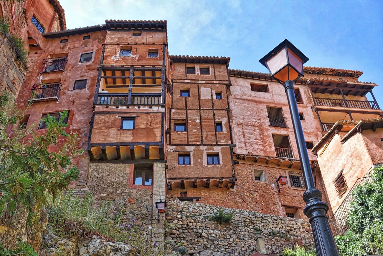
In the mountains of southern Aragon, the river Guadalaviar loops through a deep gorge, and on the rock above it stands Albarracín. Its houses are washed in a warm pinkish-red, the colour of the local stone and plaster. Their wooden balconies lean over lanes so narrow that neighbours could almost shake hands across them. Above the town, a line of walls and towers climbs the ridge.
Albarracín has had an unusual history for such a small place. In the 11th century, it was the capital of its own Muslim kingdom, the Taifa of Albarracín, ruled by the Banu Razin family. In 1170, its new lord, Pedro Ruiz de Azagra, made it an independent Christian lordship, answering neither to Castile nor to Aragon. It held on to that independence until 1284, when it finally became part of the Kingdom of Aragon. Its cathedral was begun at the end of the 12th century, and its noble houses date mainly from the 15th to 17th centuries.
Albarracín was declared a National Monument in 1961, and very little has changed since.
→ Read more: Albarracín
Missing Coordinates Highlights
- The walk along the walls above the town
- Pink houses with wooden balconies over narrow lanes
- The cathedral and the views over the Guadalaviar gorge
- The pine forests and rock landscapes of the Sierra de Albarracín
When: April to June and September to October, winter for snow on the walls and an empty town. Weather in Albarracín: a cold mountain climate, with hot, dry summers. In nearby Teruel, average highs are about 32°C in July, 26°C in September and 20°C in October; at around 1,170 m, Albarracín is usually a little cooler. Winters are cold, with frost and snow, and nights can drop far below freezing. May is the wettest month. Getting there: about 40 minutes by car from Teruel. Valencia and Zaragoza are around two and a half hours away.
2. Monemvasia, Greece
36.69° N, 23.05° E · Laconia, south-eastern Peloponnese
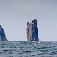
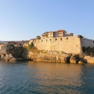
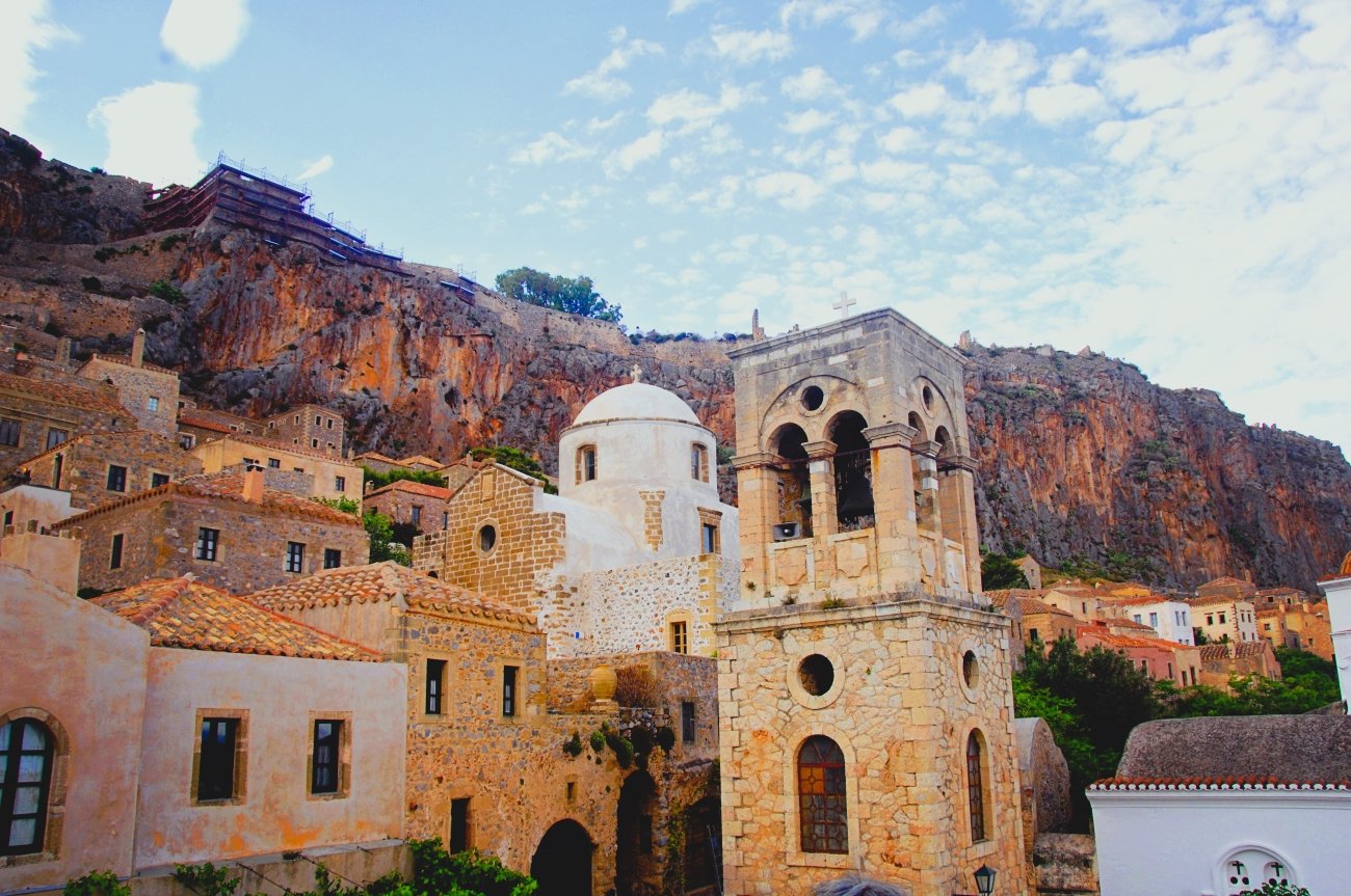
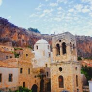
Off the east coast of the Peloponnese, a great rock rises from the sea, joined to the mainland by a single narrow causeway. You cannot see the town from the land side. Only when you walk around the rock and pass through its one gate does it appear: a Byzantine city of stone houses, domed churches and narrow lanes, between the cliff and the sea.
The name explains it: Monemvasia, from moni emvasis, “the only entrance”. The settlement began in the early 6th century, when people from Laconia took refuge on the rock from raids. It grew into one of the great Byzantine ports of the Aegean, and its sweet wine, shipped across Europe, gave its name to Malvasia, or Malmsey.
The town has two parts. The lower town, inside the walls, is still lived in, with its churches, small hotels and the house of the poet Yannis Ritsos, now a museum. A path zigzags up the cliff to the upper town, almost all in ruins now except for the 12th-century church of Agia Sophia, standing on the edge of the precipice above the sea.
→ Read more: Monemvasia: The Town That Hides Behind Rock
Missing Coordinates Highlights
- Passing through the single gate into the lower town
- The climb to Agia Sophia and the ruined upper town
- The house of Yannis Ritsos
- A glass of local Malvasia wine
- Monemvasia at night, after the day visitors leave
When: April to June and September to October. Easter in Monemvasia is especially atmospheric. Summer is hot and busy. Weather in Monemvasia: a dry Mediterranean climate. Average highs are about 30°C in July, 26°C in September and 21°C in October, with the sea at about 25°C in September and 22°C in October. Summer is almost rainless; winter brings mild, wet days, with highs around 12°C in January. Getting there: about four hours by car from Athens. Cars cannot enter the old town: park on the causeway side and walk in.
3. Vranduk, Bosnia and Herzegovina
44.29° N, 17.90° E · Bosna canyon, near Zenica, central Bosnia
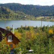
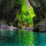
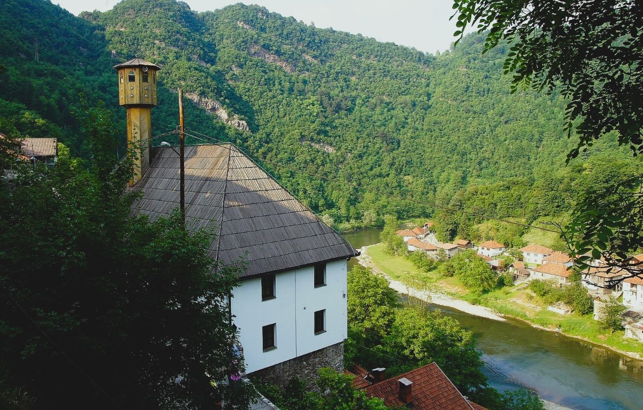
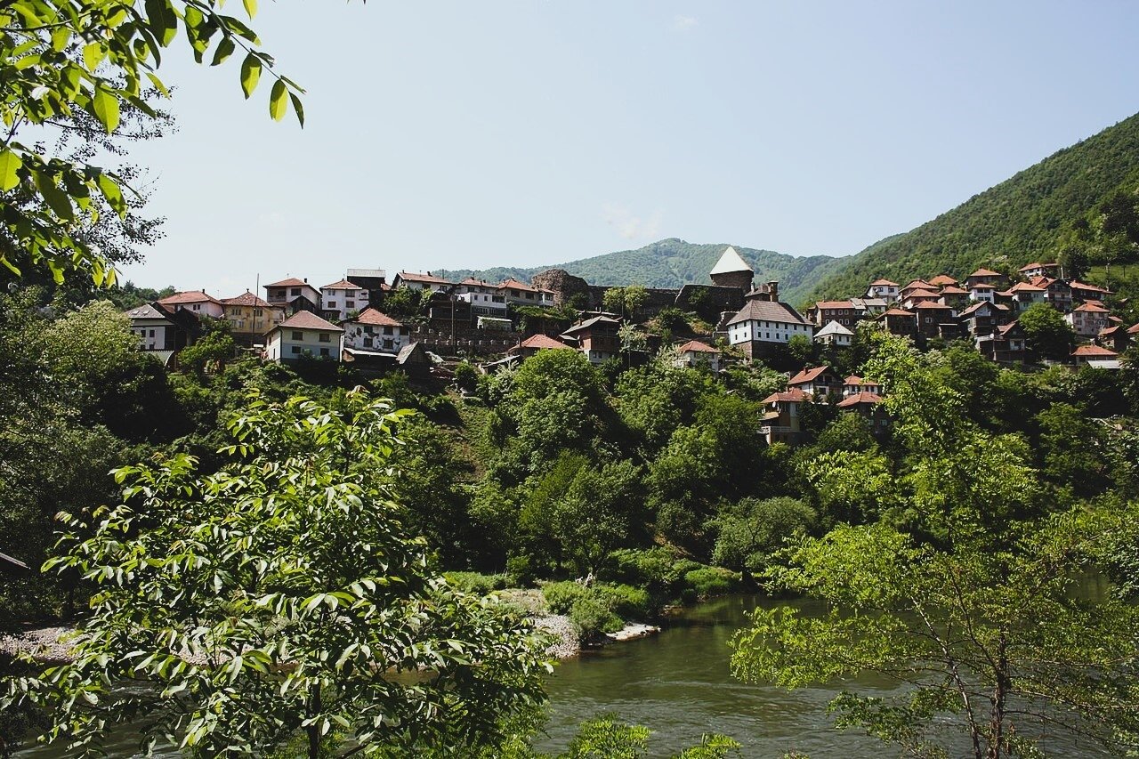
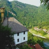
Just downstream from the city of Zenica, the river Bosna squeezes through a narrow canyon. On a rocky spur above it, guarding the pass, stands the fortress of Vranduk, and around it, clinging to the slope, a small village of old houses.
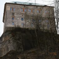
The fortress was built between the 12th and 14th centuries, in dry stone, and it was one of the strongholds of the medieval Bosnian kingdom, controlling the route along the river. After the Ottoman conquest, a small mosque was built below the citadel, named after Sultan Mehmed II. It still stands. The fortress was used until 1918, and the village that grew up around it is one of the oldest well-preserved settlements in Bosnia and Herzegovina. Since 2005, the fortress and the area around it have been a National Monument.
Vranduk is small, quiet and almost unknown outside Bosnia. Climb to the walls, look down into the canyon, and you see exactly why someone built a fortress here eight hundred years ago.
Missing Coordinates Highlights
- The fortress walls and tower above the Bosna canyon
- The Ottoman-era mosque below the citadel
- The old village houses on the slope
- Combining it with Zenica and the Bosnian kingdom’s other royal sites
When: May to October, autumn for colour in the canyon. Weather in Vranduk: a continental climate. In the Zenica area, average highs are about 28°C in July and August, 22°C in September and 17°C in October, while January is cold, around 4°C. Rain falls through the year, with October the wettest month. Getting there: a short drive from Zenica, along the river road; about an hour and a half by car from Sarajevo.
4. Bourtange, Netherlands
53.01° N, 7.19° E · Groningen province, on the German border
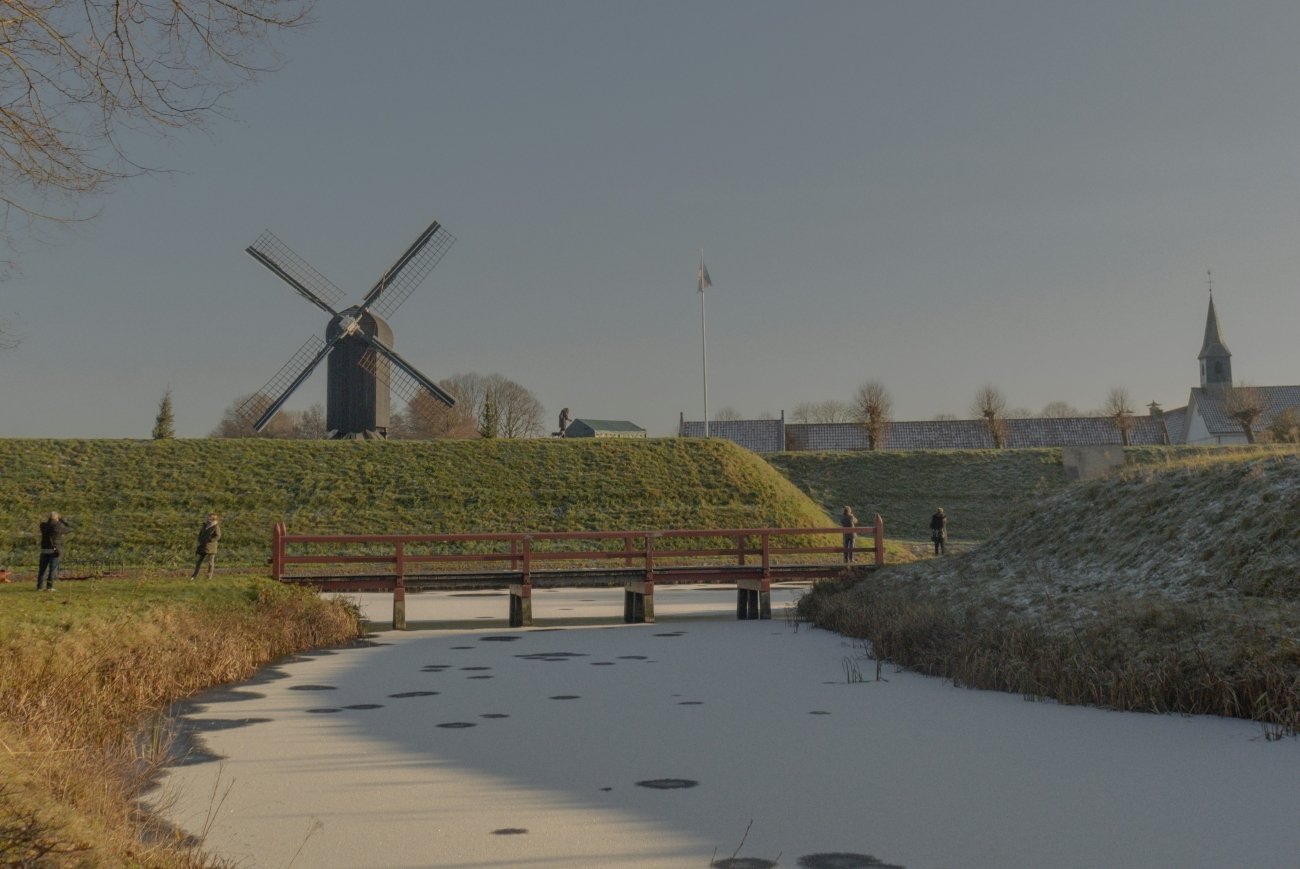
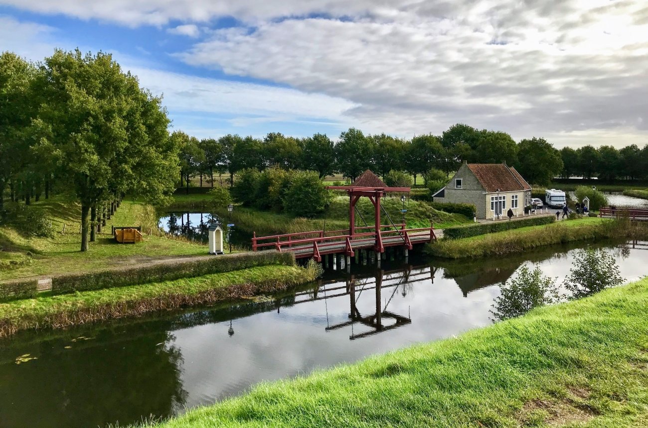
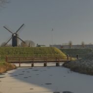
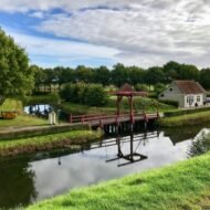
In the flat, open fenland of the north-eastern Netherlands, a perfect star lies on the landscape: water-filled moats, earthen ramparts and pointed bastions, with a small village of brick houses inside. This is Bourtange.
Strictly speaking, Bourtange is not medieval. It was completed in 1593, during the Eighty Years’ War, to control the only road between Germany and the city of Groningen, then held by Spain. But inside its walls, time stopped in much the same way. In 1672, the Prince-Bishop of Münster demanded its surrender; the governor refused, and the marshes and fortifications drove off the attack.
The fort was given up in 1851 and became an ordinary village. In 1960, the local government decided to restore it to how it had looked around 1740–1750, with its ramparts, moats, bridges and old military buildings. Today it is both a living village and an open-air museum, and after the last visitors leave, it is one of the quietest places in the Netherlands.
Missing Coordinates Highlights
- Walking the star-shaped ramparts and moats
- The bridges and old military buildings inside the walls
- The fort’s museums
- Staying overnight inside the walls
When: April to October, the fort is beautiful in autumn mist and on frosty winter mornings. Weather in Bourtange: a cool, wet North Sea climate. In nearby Groningen, average highs are about 21°C in July and August, 18°C in September and 14°C in October, with only about 4°C in January. Rain is frequent all year, so bring a jacket in any season. Getting there: about 45 minutes to an hour by car from Groningen; the German border is just a few kilometres away.
5. Bosa, Sardinia, Italy
40.30° N, 8.50° E · Planargia, western Sardinia
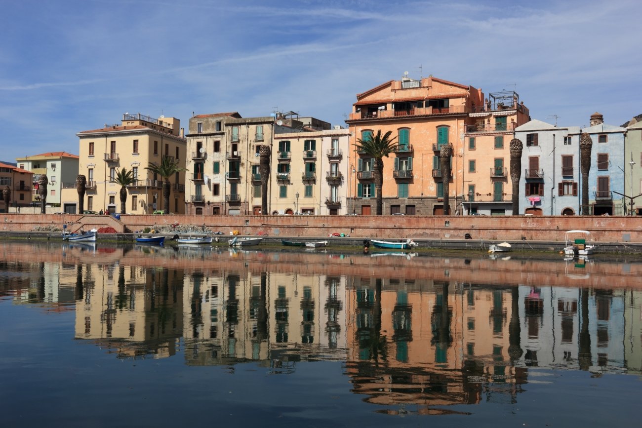
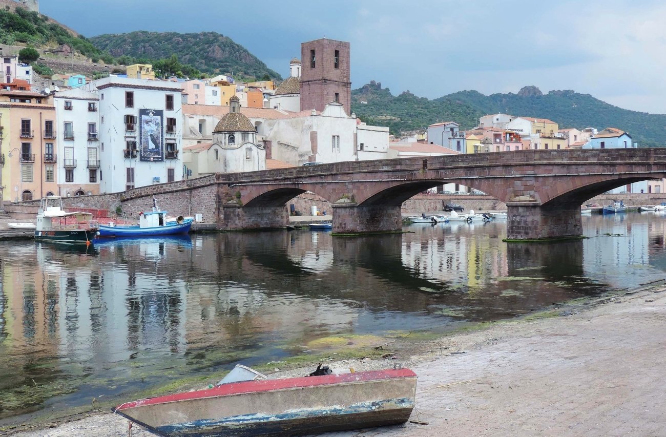
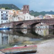
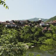
On the west coast of Sardinia, a few kilometres inland from the sea, the river Temo flows past a hill covered in houses painted pink, yellow, blue and ochre. Bosa is the only town in Sardinia that grew up on the banks of a river, and the Temo is the island’s only navigable one.
Above the town stands the Malaspina castle, built in the 12th century by the Malaspina family. Its church preserves frescoes from the 14th and 15th centuries. Below it, the medieval quarter of Sa Costa is a maze of stairways, arches and cobbled lanes. Along the river, the long, low buildings of Sas Conzas recall Bosa’s old tanneries, declared a national monument in 1989.
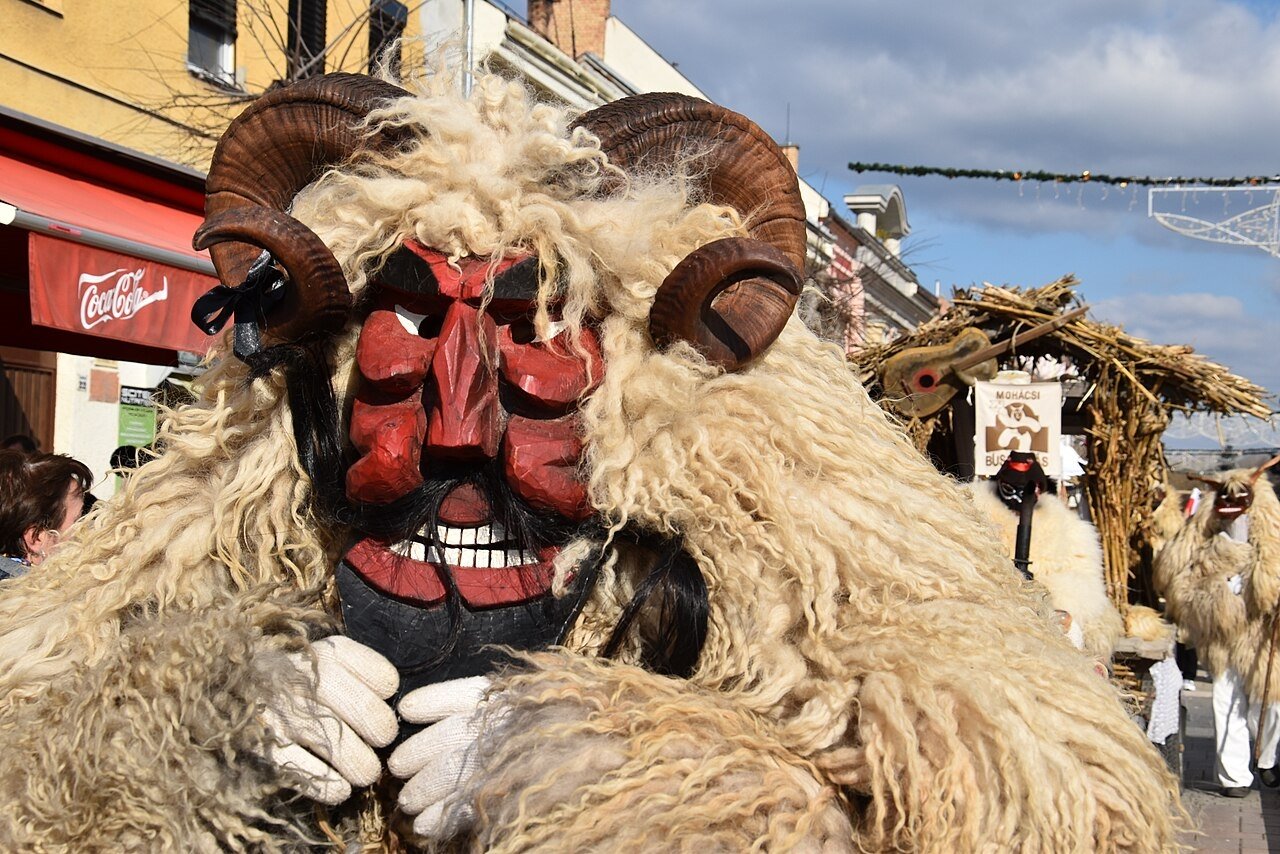
Bosa is also known for its golden Malvasia di Bosa wine, its filet lace, and its carnival, Karrasegare, one of the most unusual in Sardinia.
Missing Coordinates Highlights
- The climb through Sa Costa to the Malaspina castle
- The painted houses along the Temo
- The old tanneries of Sas Conzas
- A glass of Malvasia di Bosa
- The wild coastal road between Bosa and Alghero
When: May to June and September to October, carnival (February or March) for Karrasegare. Weather in Bosa: a Mediterranean climate. Average highs are about 30°C in July and August, 27°C in September and 23°C in October, and around 14°C in January. The sea is about 24°C in September and 22°C in October. Autumn is the rainiest season. Getting there: about an hour by car from Alghero, along one of the most beautiful coastal roads in Sardinia.
Beyond the map
The Middle Ages are usually shown to us in museums. In these five places, they are simply the background to daily life. In Albarracín, the pink houses still lean over the lanes. In Monemvasia, there is still only one way in. In Vranduk, the fortress still watches the canyon. In Bourtange, the bridges still cross the star-shaped moats. And in Bosa, the castle still looks down on a river town painted in every colour.
Come for a night, not a day. When the walls cool and the lanes go quiet, these hidden worlds feel the way they did centuries ago.
Read next: Europe’s Pirate Hideouts · Europe’s Landscapes of Legend · Europe’s Forgotten Harbours
Carry the journey with you: Beyond the Map Field Guides
Overland & Campervan in the Balkans — The Beyond the Map Road Guide For travellers driving through Bosnia and Herzegovina and the rest of the Balkans.
Hidden Europe — The Beyond the Map Map Every town in this article, and hundreds more places, on one map of the Europe most travellers never see.
Explore more: Europe’s Missing Coordinates · Military Heritage · Terra Incognita