

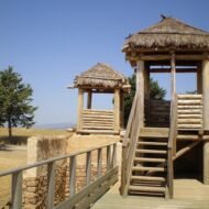
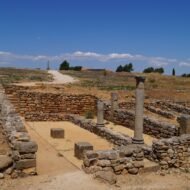
When most people think of the Celts, they think of Ireland and Scotland. But for centuries before Rome, Celtic peoples lived across much of Europe, from Spain to Bohemia. Their hilltop towns, princely tombs and salt mines are still there, and most travellers have never heard of them.
The word “Celtic” today brings to mind green hills, harps and knotwork. But the ancient Celts were something much larger: a family of peoples who, in the last centuries before Christ, lived across much of Europe, from the Atlantic to the Danube and beyond. They built fortified towns the Romans called oppida, buried their princes with gold and imported Greek wine, mined salt deep inside the Alps, and fought Rome for generations.
Then Rome conquered them. Gaul fell to Julius Caesar, the Celtiberians of Spain were crushed, and their towns were abandoned. In Ireland and Scotland, beyond Rome’s reach, Celtic languages survived. On the continent, the Celts faded into legend.
Their landscapes did not. Across France, Germany, Austria and Spain, you can still walk their ramparts, stand at their princes’ graves and go down into the mines that made them rich.
| Place | Why go | |
|---|---|---|
| 1 | Bibracte, France | The Gaulish town where Vercingetorix was confirmed as leader |
| 2 | Heuneburg, Germany | A Celtic citadel with a Mediterranean-style mudbrick wall |
| 3 | Glauberg, Germany | The grave and statue of a Celtic prince |
| 4 | Dürrnberg, Austria | The salt mountain that made the Celts rich |
| 5 | Numantia, Spain | The Celtiberian town that defied Rome |
Not Celtic: three famous myths
Some of Europe’s most famous “Celtic” monuments are not Celtic at all.
- Stonehenge, in England, was built in the Neolithic and Bronze Age, long before the Celts.
- The stone rows of Carnac, in Brittany, are thousands of years older than any Celtic people in the region.
- Newgrange, in Ireland, is a Neolithic passage tomb, older than the Egyptian pyramids.
They are extraordinary places, but their builders were not the Celts. The places below are.
1. Bibracte, France
46.92° N, 4.04° E · Mont Beuvray, Morvan, Burgundy
On a forested mountain in the Morvan hills of Burgundy lie the remains of Bibracte, the capital of the Aedui, one of the most powerful Gaulish peoples. For about a century, in the 2nd and 1st centuries BC, it was a busy town of some 200 hectares, enclosed by double ramparts.
In the summer of 52 BC, an assembly of Gallic chiefs met at Bibracte and confirmed Vercingetorix as leader of the great revolt against Rome. Months later, after his defeat at Alesia, Julius Caesar himself spent the winter here, and wrote part of his Commentaries on the Gallic War. In the decades that followed, the inhabitants moved down to the new Roman town of Autun, and Bibracte was left to the forest.
Excavations began in 1867 and have continued every year since 1984. Today, you can walk through the beech woods over the ancient town, see the excavated quarters and gates, and visit a museum dedicated to Celtic civilisation at the foot of the mountain.
In the Field Guide: the best walking route over the oppidum, the museum’s highlights, and how to combine Bibracte with Alesia and Autun.
When: April to October, when the museum and the site are fully open; autumn for the colours of the Morvan forests. Weather at Bibracte: a cool, wet hill climate for France. The Morvan gets more rain than the surrounding plains, summers are mild and green, and winters are cold, with frost and snow on the mountain. Getting there: about 25 km west of Autun, by car.
2. Heuneburg, Germany
48.09° N, 9.41° E · Upper Danube, near Herbertingen-Hundersingen, Baden-Württemberg
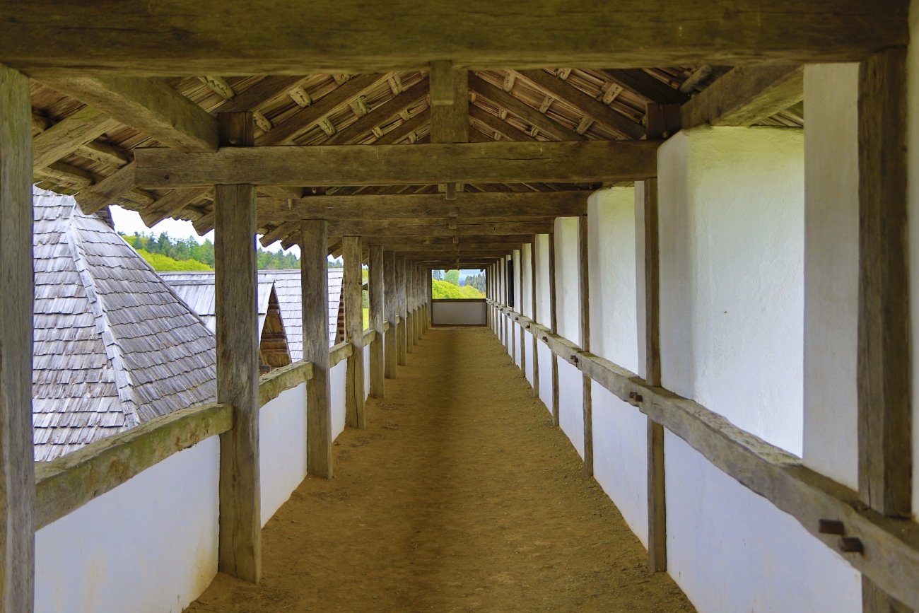
On a spur about 40 metres above the young Danube, between Ulm and Sigmaringen, stands one of the oldest Celtic centres north of the Alps. The Heuneburg was refortified around 700 BC, and by 600 BC it had become a major centre of power and trade, with an estimated 5,000 to 10,000 people living in its outer settlement alone.
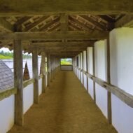
Around 600 BC, its rulers did something extraordinary: they built a wall of sun-dried mudbrick, about 4 metres high and plastered white, on a limestone base. It was a Mediterranean idea, and no other wall like it is known in Celtic Central Europe at the time. It stood for about 70 years, until it was destroyed by fire around 530 BC.
Some archaeologists believe the Heuneburg may be Pyrene, the Celtic city mentioned by the Greek historian Herodotus in the 5th century BC. It is a possibility, not a certainty, but a remarkable one.
In the Field Guide: the open-air museum with its reconstructed houses and mudbrick wall, the Heuneburg Museum in Hundersingen, and the princely burial mounds in the fields around it.
When: spring to autumn; check the open-air museum’s season before you go. Weather at the Heuneburg: a central European climate. Summers are warm, with highs in the low to mid 20s °C, and winters are cold, with frost and some snow. Getting there: about 1 hour by car from Ulm.
3. Glauberg, Germany
50.31° N, 9.01° E · Glauburg, Wetterau, Hesse
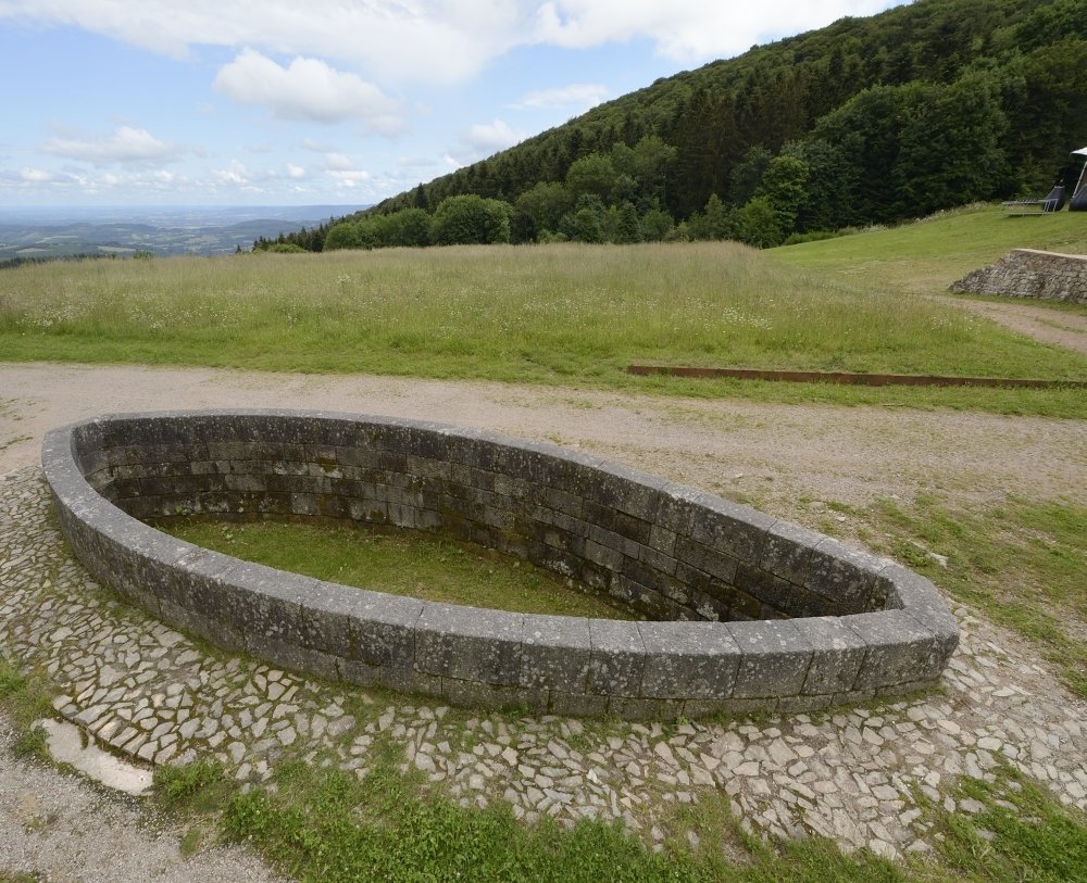
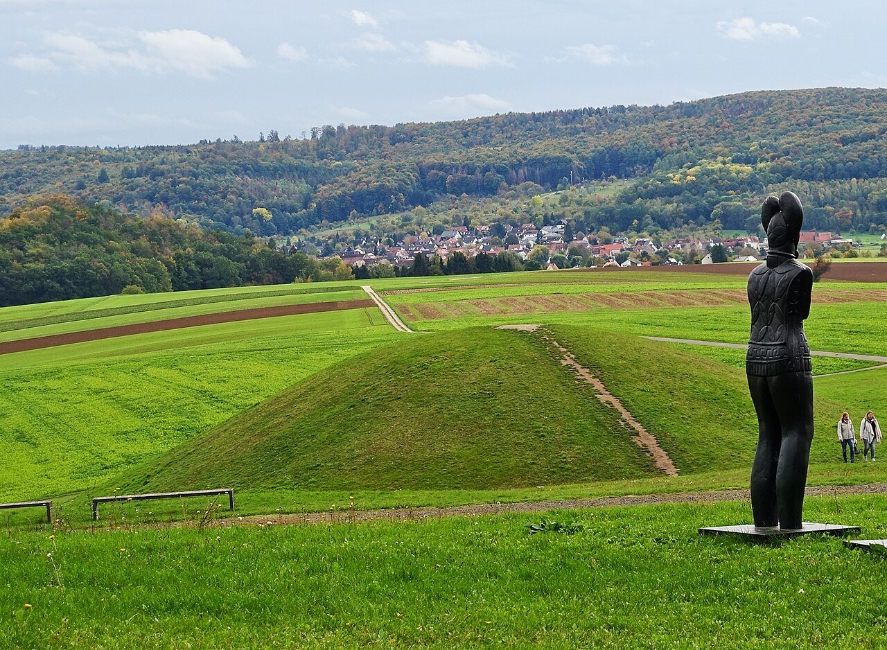
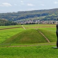
On an 8-hectare plateau at the edge of the Wetterau, north-east of Frankfurt, the Celts built a fortified hilltop settlement and, below it, a monumental burial mound. In 1996, archaeologists excavating the ditches around the mound found a life-size sandstone statue of a Celtic warrior. He wears armour and a strange crown shaped like two great leaves, and he has become one of the most famous images of the Celtic world.
The burial mound beside him held the grave of a warrior with unusually rich grave goods, and fragments of at least three more statues were found nearby. The finds date to the 5th century BC, when the Glauberg was at its height.
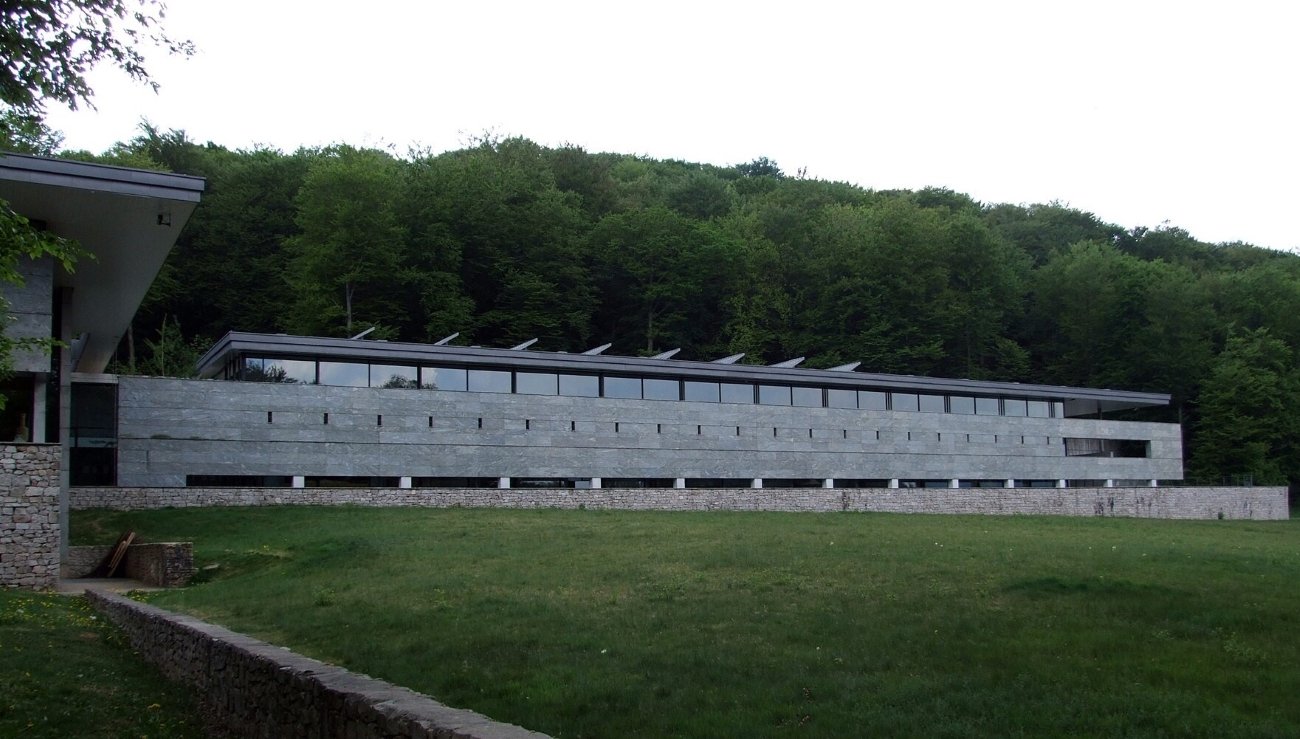
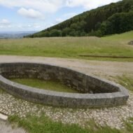
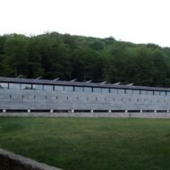
Today, the mound has been rebuilt to its original size, and the Keltenwelt am Glauberg museum, a striking modern building, displays the statue and the finds. From its roof, you look out over the mound, the ditches and the plateau.
In the Field Guide: the museum and the reconstructed burial mound, the walk over the plateau, and other Celtic sites of Hesse.
When: all year for the museum; spring to autumn for the archaeological park. Weather at the Glauberg: a mild central German climate. Summer highs are usually in the low to mid 20s °C, winters are cold and grey, and rain is spread through the year. Getting there: about 45 minutes by car from Frankfurt.
4. Dürrnberg, Austria
47.67° N, 13.08° E · Above Hallein, Salzburg
Everyone has heard of Hallstatt, the lakeside village that gave its name to the early Iron Age. Far fewer know Dürrnberg, the mountain above the town of Hallein, south of Salzburg, where the Celts mined salt about 2,500 years ago. Salt was the oil of the ancient world, and it made the people of the Dürrnberg rich.
Today, you can go down into the mountain on a salt mine tour, and above it, directly opposite the mine entrance, a reconstructed Celtic village shows Iron Age life as it really was: hard work in the mine, injuries, poor and wealthy families side by side. In the town below, the Celtic Museum Hallein displays the treasures of the Dürrnberg, including a 2,500-year-old bronze beaked flagon, clothing found in the prehistoric mine, and objects from the grave of a Celtic prince.
In the Field Guide: the salt mine, the Celtic village and the museum in one day, the Knappensteig hiking path past the old mine entrances, and Hallein’s old town.
When: May to October for the Celtic village; the museum and the mine are open most of the year. Weather at Dürrnberg: an Alpine climate. In nearby Salzburg, average highs are about 25°C in July and August, 20°C in September and 15°C in October, and about 4°C in January. Summer is the wettest season, with frequent showers and storms. Getting there: Hallein is about 20 minutes by train or car from Salzburg; the Dürrnberg is a short drive or bus ride above the town.
5. Numantia, Spain
41.81° N, 2.44° W · Cerro de la Muela, Garray, Soria
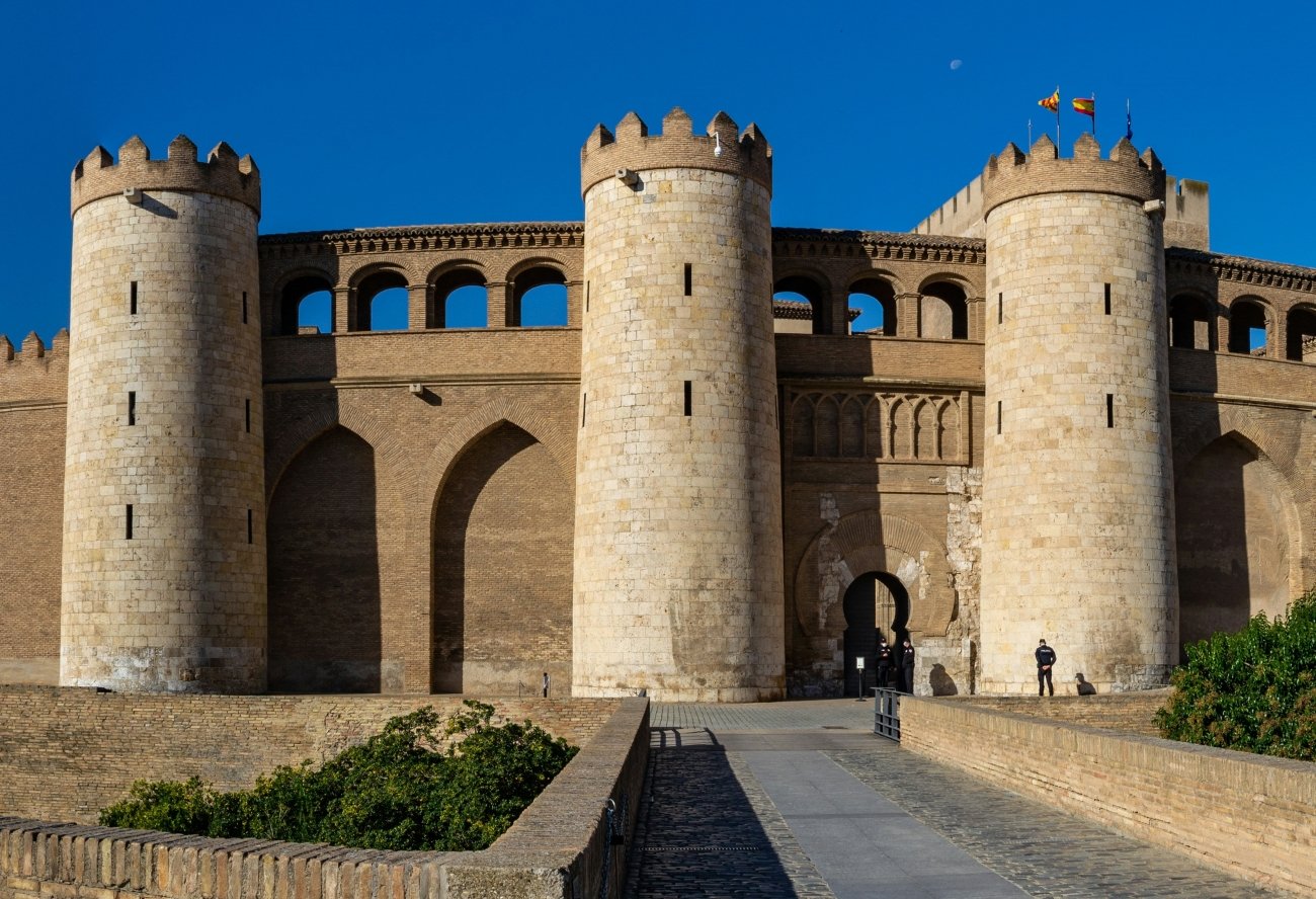
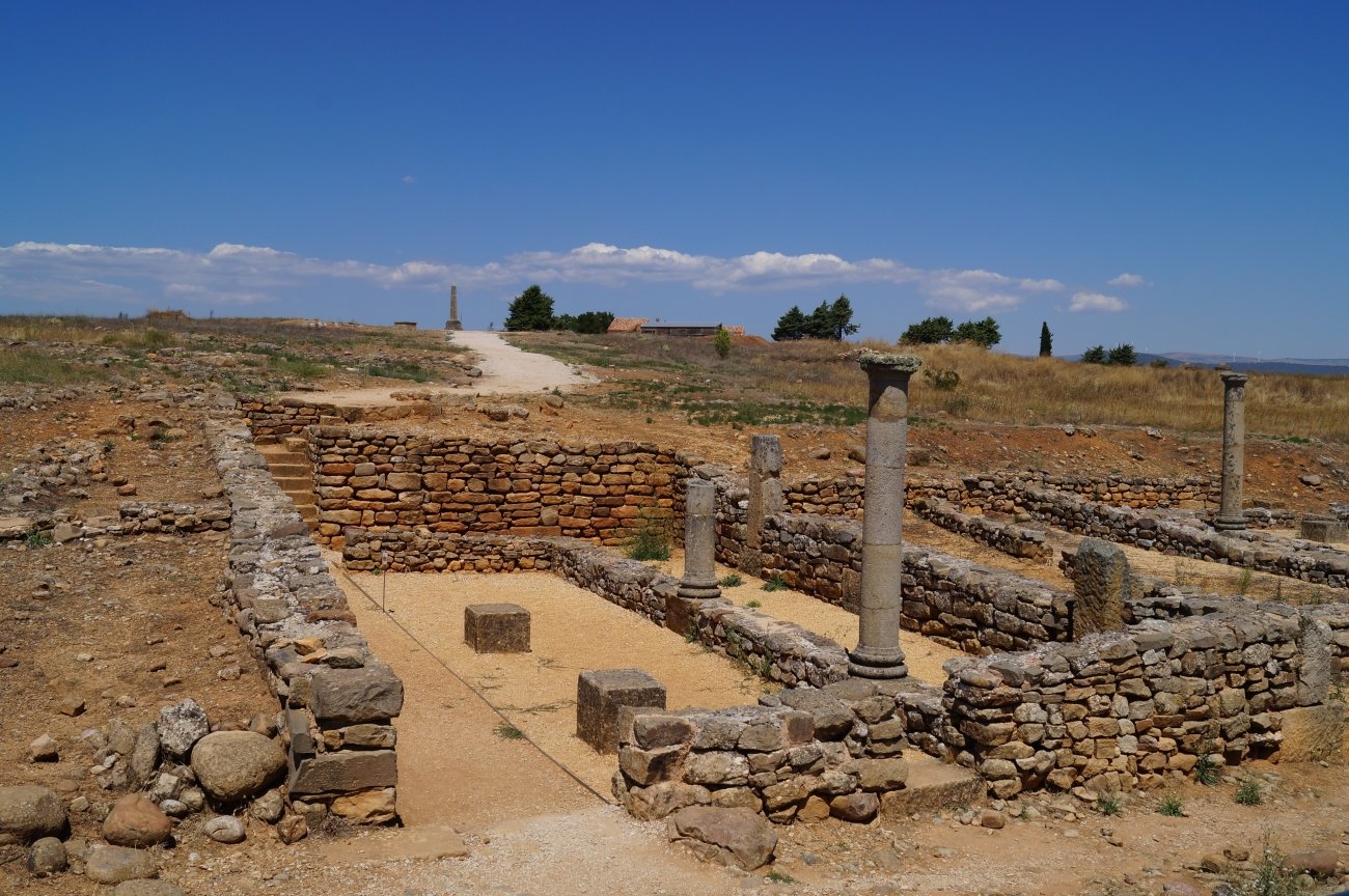
On a bare hill above the river Duero, on the high plateau of Castile, lie the ruins of Numantia. It was a town of the Celtiberians, a people formed from Iberians and Celts, and for twenty years it resisted Rome.
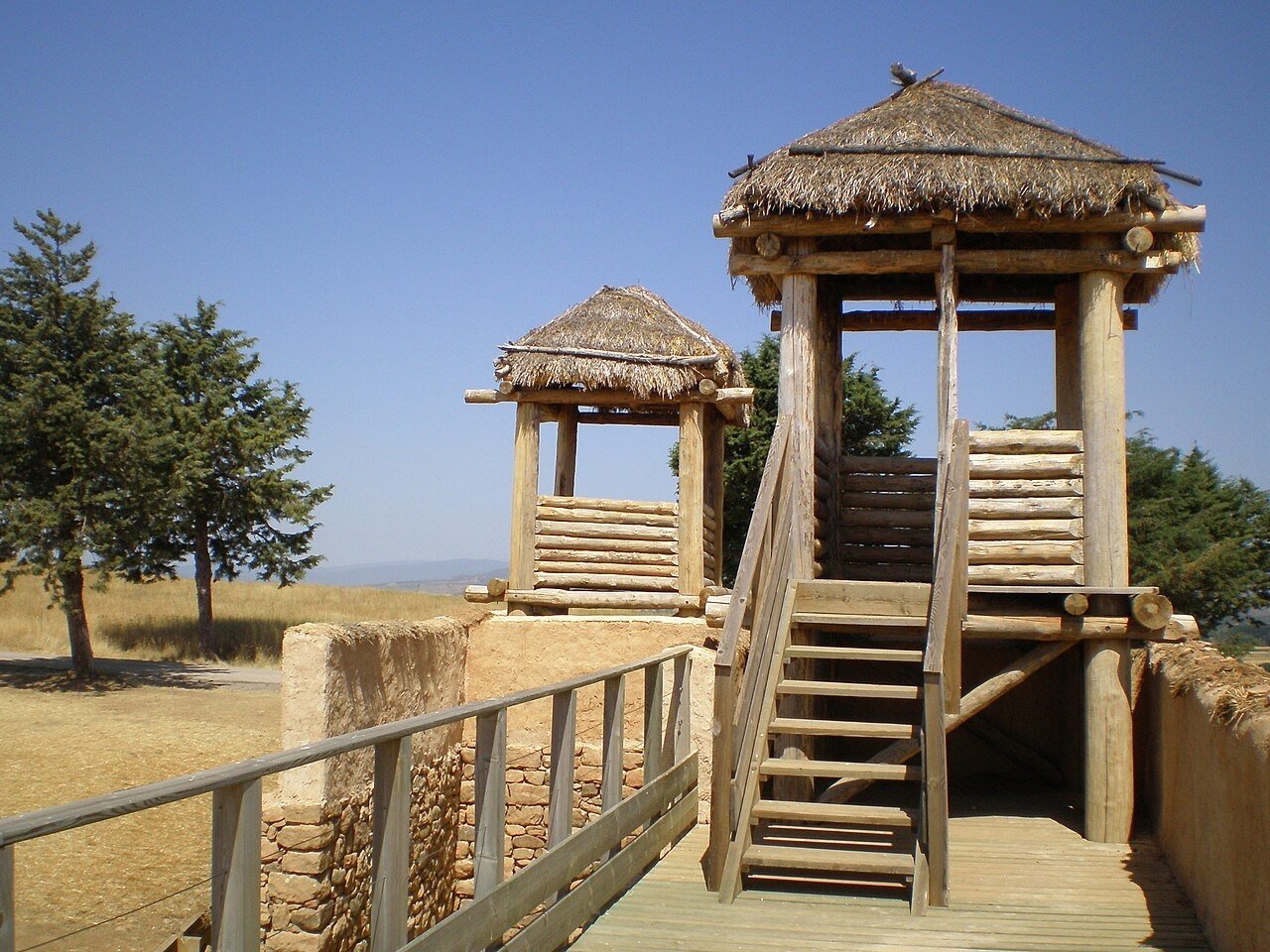
In 134 BC, the Roman Senate sent its best general, Scipio Aemilianus, with about 30,000 soldiers to destroy it. He did not attack the walls. Instead, he surrounded the town with a barrier of towers, moats and traps about 9 kilometres long, and waited. After thirteen months of siege and eight months of famine, in 133 BC, most of the inhabitants chose to die rather than become slaves. A few hundred burned the town before they surrendered.
Numantia became a symbol of resistance in Spain. Miguel de Cervantes wrote a play about it, El cerco de Numancia. The site has been a national monument since 1882, and excavations continue. On the hill, you can walk among the streets and foundations of the later town, and see reconstructed Celtiberian and Roman houses.
In the Field Guide: the site and the Numantine Museum in Soria, the remains of Scipio’s camps around the hill, and the Celtiberian landscapes of Soria.
When: May to October; the plateau is cold in winter. Weather at Numantia: a high, continental climate at about 1,050 metres. In nearby Soria, average highs are about 29°C in July and August, 24°C in September and 18°C in October, and about 8°C in January. Soria has more snow days than any other Spanish city outside the mountains. Getting there: about 10 minutes by car north of Soria.
Beyond the map
The Celts of continental Europe left no great cathedrals and almost no written words. Their story was written by their enemies, Greek and Roman, who saw them as wild barbarians. But walk the ramparts of Bibracte, stand before the prince of the Glauberg, go down into the salt mountain of the Dürrnberg, or climb the hill of Numantia, and a different picture appears: a world of towns, trade, craft and courage, spread across half of Europe, and almost forgotten.
Celtic Europe — a Beyond the Map Field Guide
[Celtic Europe — The Beyond the Map Field Guide]
The five places in this article are only the beginning. The Field Guide takes you deeper into Celtic Europe:
- The five sites in detail, with visiting notes, opening times and routes
- The great oppida: Manching in Bavaria, Závist near Prague, and Entremont in Provence
- Alesia, where Vercingetorix surrendered to Caesar
- The hillforts of Galicia and northern Portugal, and the debate over whether they were “Celtic” at all
- Celtic treasures and where to see them, from the Gundestrup cauldron to the gold of the princely tombs
- Legend vs history: what the Celts really believed, and what was invented later
- A 7-day route through Celtic France and Germany, and a Spanish extension
- Offline maps and GPS points for every site
→ [Get the Field Guide]
Read next: Where the Templars Were · Europe’s Last Pagan Landscapes · Europe’s Landscapes of Legend
Explore more: Trails · Europe’s Most Beautiful, Beyond the Map · Terra Incognita
- Travel times are approximate.