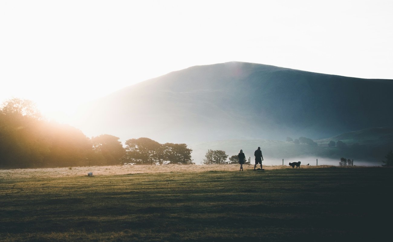
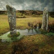
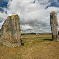
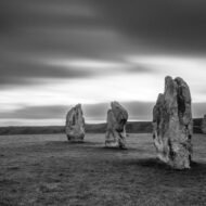
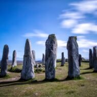
Stonehenge receives approximately 1.5 million visitors per year. You stand at a rope barrier, 15 metres from the stones, and look at them. They are extraordinary. They are also the most managed, most interpreted, most queued-for ancient monument in the British Isles — and they are not the oldest, not the largest, and not the most architecturally complex prehistoric site in the country.
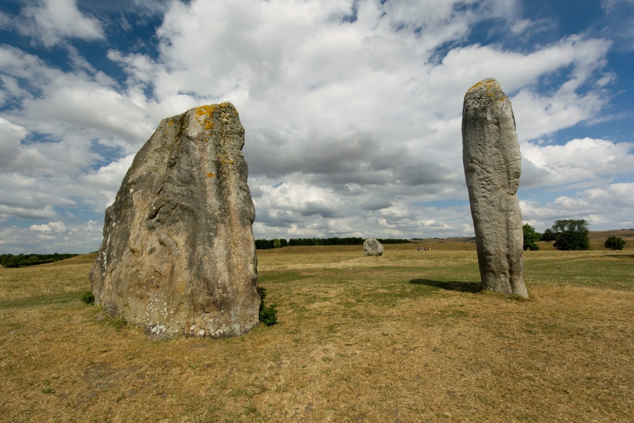
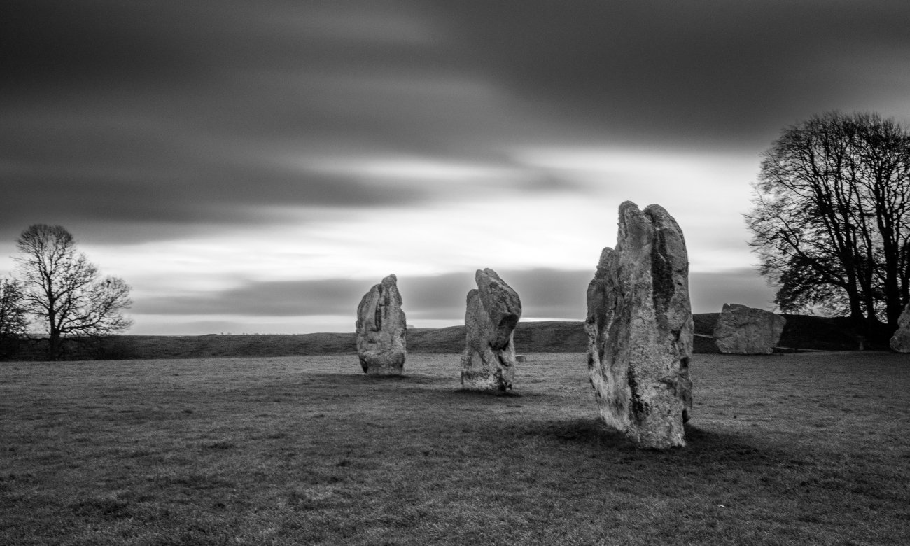
Twenty-five miles north, the Avebury henge circles an entire village. It is 14 times larger than Stonehenge. You can walk between the stones, touch them, sit beside them. The pub is inside the stone circle. Entry is free.
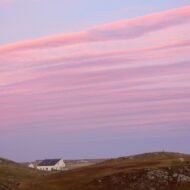
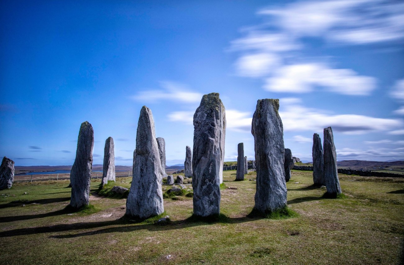
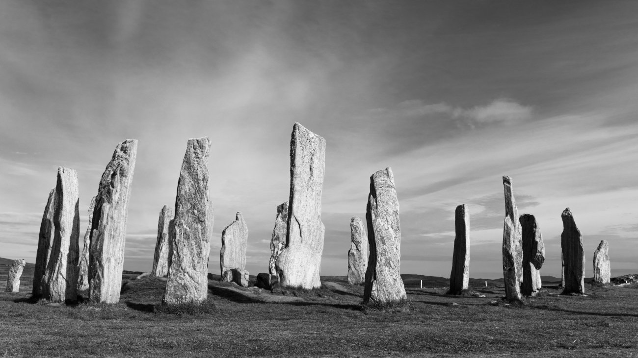
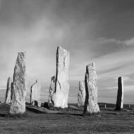
In the Outer Hebrides, on the Isle of Lewis, the standing stones of Callanish have been aligned with the movements of the moon since 2900 BC — five centuries before the sarsens at Stonehenge were raised. The stones stand on a ridge above a sea loch, and in October, in the specific light of the Outer Hebrides at that latitude, they look like what they are: the most photographically extraordinary prehistoric site in the British Isles, almost entirely without the infrastructure of mass tourism.
In the Irish Boyne Valley, Knowth contains more megalithic art than any other site in Western Europe. Most visitors to Ireland drive to Newgrange. Knowth is 800 metres away, twice as complex, and receives a fraction of the attention.
This is the consistent character of ancient Britain and Ireland. The famous sites are extraordinary. They are approximately 5% of what the prehistoric world built in these islands. The other 95% is still there, and in several cases is significantly more important than the thing on the cover of every guidebook.
01. Avebury, Wiltshire, England
The largest prehistoric stone circle on earth — with a pub inside it
GPS (Avebury henge, south entrance): 51.4286°N · 1.8542°W GPS (Silbury Hill, nearby): 51.4158°N · 1.8577°W Best season: Year-round · open 24 hours · free Distance from Stonehenge: 25 miles north · 40 minutes by car
Avebury Ring is a stone monument which encircles the town of Avebury and is believed to have been constructed between 2,850 and 2,200 BC. It is not only 14 times larger than Stonehenge, but was almost certainly completed before its famous counterpart.
The scale of Avebury requires a moment to process. The outer ring’s circumference is roughly 2,000 metres, and the overall site covers about 22 hectares. The outer circle contained 98 standing stones originally, many weighing up to 20 tonnes and reaching several metres tall. The henge — the circular bank and ditch that encloses the stones — is itself the engineering feat. The ditch was cut by hand into solid chalk using antler picks. It is 9 metres deep. The labour involved in creating it exceeds, by most archaeological estimates, the labour involved in raising the Stonehenge sarsens.
The first thing to strike visitors to Avebury is not the stones, but the surrounding bank and ditch. While erosion has taken its toll, the henge still dwarfs the nearly vanished earthworks at Stonehenge. At about a mile in circumference, the Avebury henge completely encircles a small village, and even the smallest of the three stone circles within is still larger than Stonehenge.
A medieval village grew inside the henge because the land was available and the stones were there. In the 14th century, the villagers buried some of the stones — a barber-surgeon crushed under a toppling stone was found by Alexander Keiller’s excavation team in the 1930s, his scissors and coin still on him. In the 17th and 18th centuries, the villagers broke up the stones for building material. <Avebury was bought by Alexander Keiller, heir to a marmalade fortune, in the 1930s, who excavated and re-erected as many of the fallen and buried stones as he could locate. What you see today is Keiller’s best reconstruction of a monument that was being actively destroyed for 400 years before anyone thought to protect it.
<Visitors are free to roam around the area. There is a visitor centre, a National Trust café and restaurant, and the delightful old thatched Red Lion pub, which has the distinction of being the only such establishment to be located within a megalithic stone circle.
The specific thing that most visitors miss: Silbury Hill, a kilometre south of the henge — the largest prehistoric man-made mound in Europe, 40 metres high, its purpose entirely unknown. It is not a burial mound. No burial has been found inside it. It was built around 2400 BC and nobody has yet established why.
What to look for specifically: The West Kennet Avenue — the stone-lined processional road that runs south from the henge — is 2.5km long with pairs of standing stones at regular intervals. Most visitors don’t walk it. Walk it. The stones at the far end connect to a second monument, the Sanctuary, where only concrete markers now show where the original structure stood.
02. Callanish Standing Stones (Calanais), Isle of Lewis, Scotland
500 years older than Stonehenge — aligned with the moon, not the sun
GPS (Callanish I, primary circle): 58.1978°N · 6.7450°W GPS (Callanish II, nearby circle): 58.2045°N · 6.7512°W Best season: October for photography · April–June for astronomy Distance from Stornoway: 25km west · 30 min by car
Standing on a windswept ridge overlooking the waters of Loch Roag on the Isle of Lewis, the Callanish Stones represent one of the most sophisticated examples of Neolithic architecture in the world. This prehistoric monument is actually 500 years older than Stonehenge.
The layout of Callanish is the specific thing that separates it from every other stone circle in Britain. <A ring of large stones about 12 metres in diameter encloses a huge monolith at its centre, with lines of stones extending to the east, west, south, and a long stone avenue running north. From above, the monument resembles a Celtic cross — though the stones were erected 2,000 years before Christianity reached the British Isles. The more plausible explanation for the cross-shaped layout is astronomical. The stones are aligned with the movements of the moon during the Major Lunar Standstill — an 18.6-year cycle in which the moon’s rising and setting points reach their most extreme positions on the horizon. On Lewis, during this standstill, the full moon appears to skim along the horizon before setting behind the Sleeping Beauty hill profile to the south, appearing to enter the stone circle at ground level. <The peak of the Major Lunar Standstill cycle concluded around 2024–2025.
Unlike the smooth, shaped lintels of Stonehenge, the Callanish stones are raw, jagged, and primitive, looking like a group of petrified giants frozen in time. The tallest stone is 4.75 metres. The stone is Lewisian gneiss — some of the oldest rock on earth, formed 3 billion years ago. The combination of the geological age of the stone and the archaeological age of the monument creates a specific quality of antiquity that no managed heritage site can replicate.
October is the correct month for the specific reason that the photography argument makes. The low angle of the October sun at 58°N — the latitude of Callanish — produces the horizontal light that makes the stones cast long shadows across the heather at dawn and at sunset. The Outer Hebrides weather in October is variable; the chance of an overcast day is significant. The chance of a clear dawn with the sun coming in from the east over the water is also real, and on that morning, with the stones above Loch Roag in the first light, Callanish produces the most extraordinary prehistoric photography available anywhere in the British Isles. There are no ropes. There is no entry fee. <A new Callanish Standing Stones Visitor Centre is planned near the village of Callanish.
The island has at least 30 additional standing-stone sites beyond Callanish I — Callanish II and III are within 800 metres of the primary circle and are almost entirely without visitors even in summer.
What to look for specifically: Arrive before sunrise and stay for two hours. The colour of the gneiss changes as the light moves — grey in cloud, almost silver in the first sun, rose-tinged in the right conditions. The central monolith casts a shadow across the circle at specific times that the Neolithic builders clearly calibrated. You will not be able to establish exactly what they intended. Standing there in the October morning is a more honest engagement with the question than any interpretation panel.
03. Skara Brae, Orkney, Scotland
A complete Neolithic village, older than the pyramids, with the original furniture still inside
GPS (Skara Brae village, Bay of Skaill): 59.0485°N · 3.3437°W Best season: April–October (visitor centre open) · closed in winter Entry: £9 adults · Historic Environment Scotland Explorer Pass accepted Distance from Kirkwall: 30km west · 30 min by car
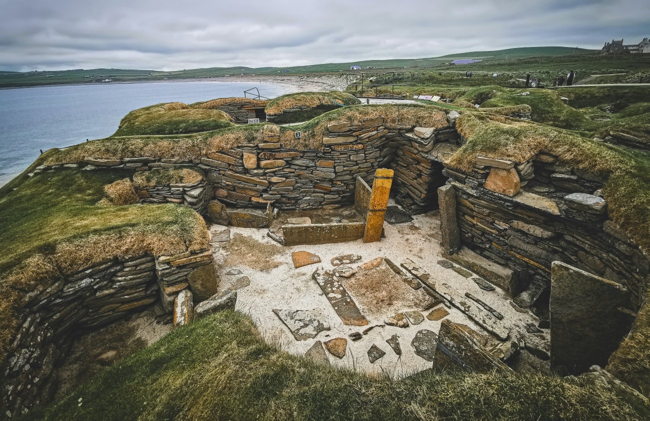
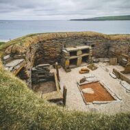
Long before Stonehenge or even the Egyptian pyramids were built, Skara Brae was a thriving village. Step back 5,000 years in time to explore the best-preserved Neolithic settlement in Western Europe.
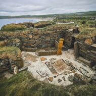
The village was occupied from approximately 3100 BC to 2500 BC. It was buried under a sand dune, which is why it survived. <In the winter of 1850, wild storms ripped the grass from a high dune known as Skara Brae, beside the Bay of Skaill, and exposed an immense midden and the ruins of ancient stone buildings. The discovery proved to be the best-preserved Neolithic village in northern Europe.
Bill Bryson, on nominating Skara Brae for Heritage Site of the Year, said: “Orkney has the greatest concentration of archaeological sites in Scotland, but none is more arresting than this miraculously preserved Neolithic village. They are older than Stonehenge and the Great Pyramids of Egypt and yet they feel as if they were vacated only yesterday.”
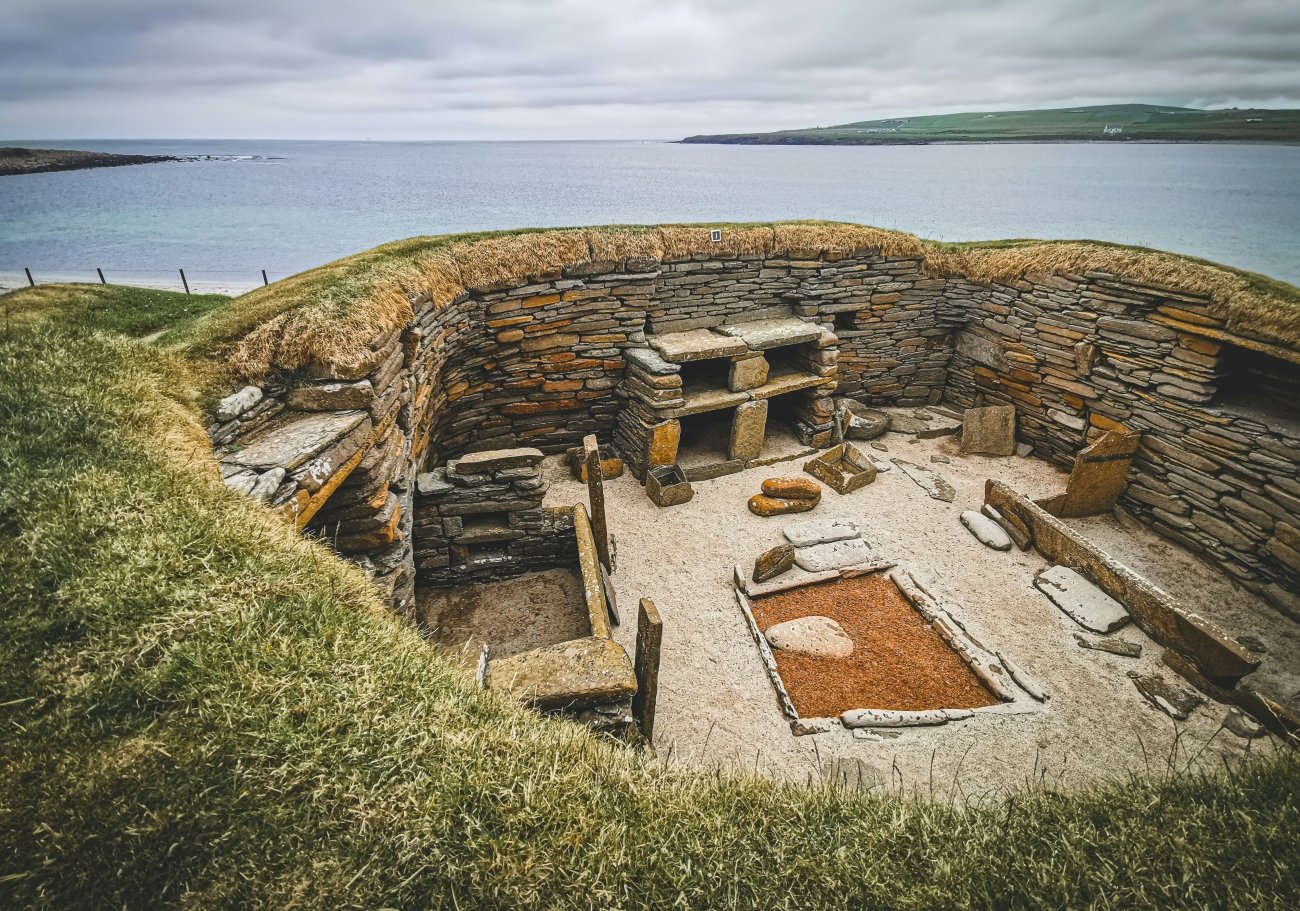
The specific thing about Skara Brae that no photograph adequately prepares you for is the furniture. The nine surviving houses each contain stone dressers, stone bed frames, stone shelving and stone hearths — all still in position, all still identifiable as the functions they served. The people who lived in these houses 5,000 years ago built their furniture from stone because the Orkney islands have almost no trees. The furniture survived because stone does not rot. You are looking at the actual interior of an actual house from the Neolithic period, in the configuration in which it was used, in the location where it was built. Nothing comparable exists anywhere in Western Europe.
The prehistoric houses still contain stone dressers and box-beds. Artefacts including gaming dice, tools and jewellery are on display in the visitor centre. The gaming dice are the specific detail — people played games in these houses, on winter evenings, 5,000 years ago, in houses whose layout has not significantly changed from what you are looking at.
The village is connected to the broader Heart of Neolithic Orkney UNESCO World Heritage Site, which includes the Ring of Brodgar stone circle and the Maeshowe burial cairn. A single day on Orkney in October — Skara Brae in the morning, the Ring of Brodgar at noon, Maeshowe in the afternoon — is the most concentrated ancient monument experience available anywhere in Britain.
What to look for specifically: The walk along the cliff top east of Skara Brae to the headland — the Bay of Skaill in one direction, the Orkney interior in the other — places the village in the coastal landscape that its inhabitants managed for 600 years. The replica house in the visitor centre lets you stand inside a reconstruction and understand the scale.
04. Castlerigg Stone Circle, Cumbria, England
The most dramatically situated stone circle in Britain — in the centre of the Lake District mountains
GPS (Castlerigg, east of Keswick): 54.6024°N · 3.0979°W Best season: Year-round · free · open at all times Distance from Keswick: 2km east · 30-minute walk from town
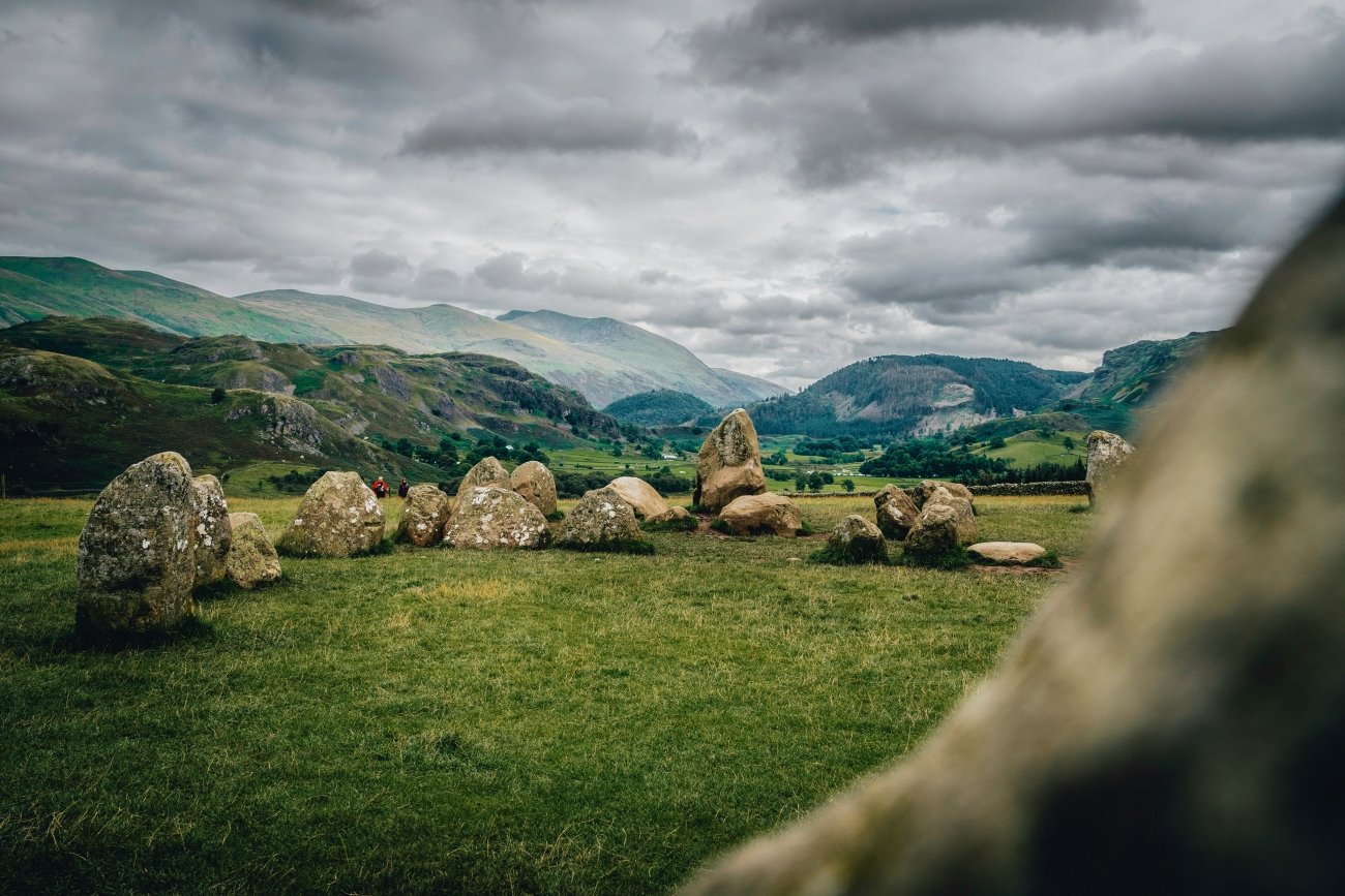
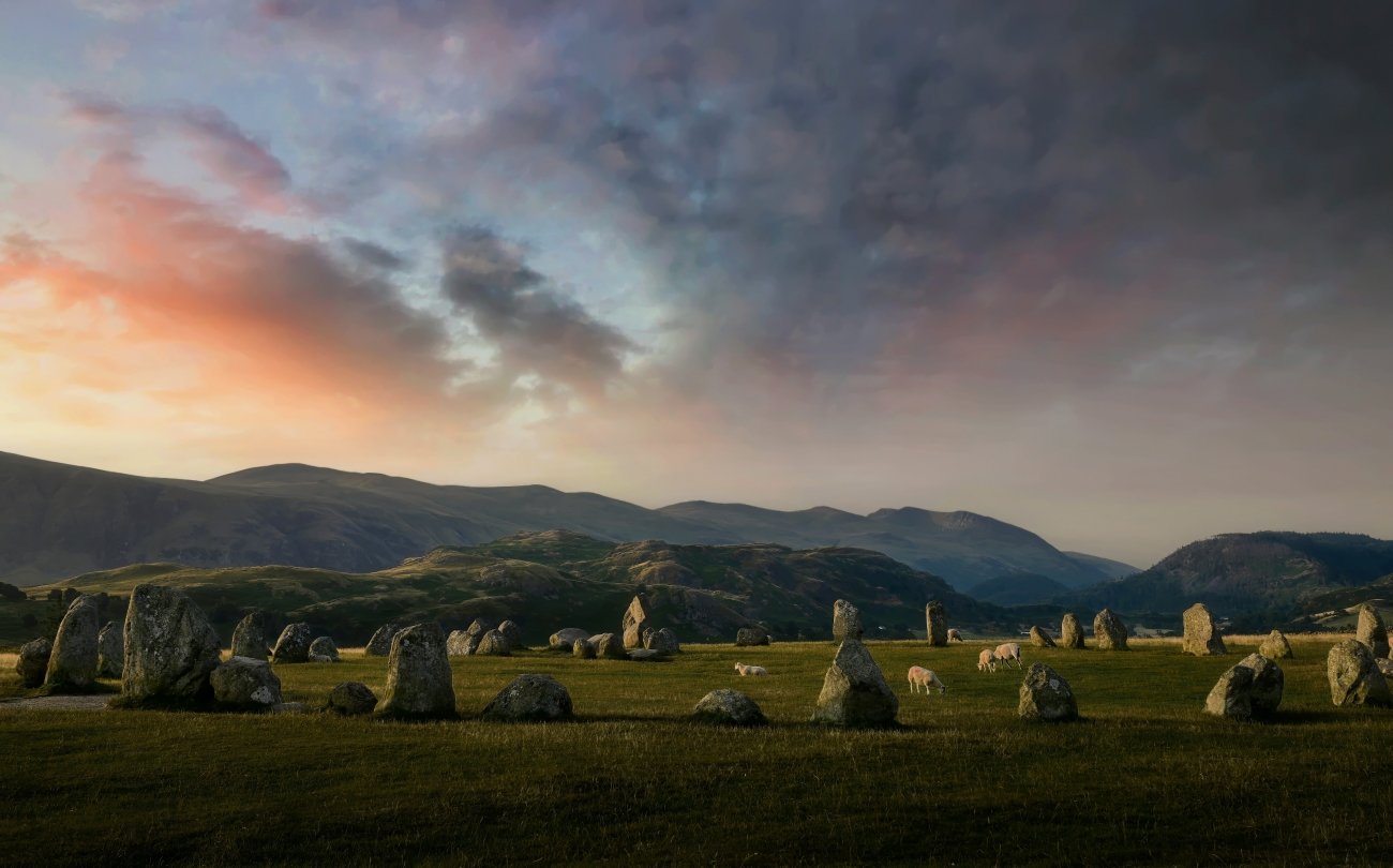
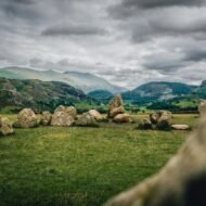
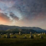
Castlerigg is perhaps the most atmospheric and dramatically sited of all British stone circles, with panoramic views and the mountains of Helvellyn and High Seat as a backdrop. A ring of 38 standing stones, it was probably built around 4,500 years ago, in the late Neolithic period.
The setting is the argument. The circle sits on a low plateau above Keswick at 700 feet above sea level, <ringed by stunning views and the mountains of Blencathra, Helvellyn and Skiddaw. The Neolithic builders positioned the circle with apparent awareness of the mountain panorama — whether for astronomical, ceremonial or territorial reasons is not established, but the effect is that every direction from inside the circle looks at a different mountain profile, and the circle itself appears to have been placed at the point from which all of them are most visible simultaneously.
One of the more unusual features of Castlerigg is a rectangle of standing stones within the circle; there is only one other comparable example at the Cockpit, an open stone circle at Askham Fell, near Ullswater. The inner rectangle has no agreed explanation. It is not a burial site, not an astronomical alignment that anyone has confirmed, and not a feature of any other stone circle in Britain except one. It was built here, deliberately, by people who had a reason for it that we have lost.
Castlerigg made a brief appearance in the writing of Samuel Taylor Coleridge, who visited with William Wordsworth in 1799. Keats wrote a poem — Hyperion — in which he described Hyperion’s palace as resembling “A dismal cirque of Druid stones, upon a forlorn moor.” He was thinking of Castlerigg. The Romantic poets came here because the combination of the ancient stones and the mountain landscape produced the specific quality of the sublime that their aesthetic demanded. It still does.
Neolithic stone axes have been found at the site — evidence that Castlerigg was a trading post as well as a ceremonial site. The Great Langdale axe quarries are 20km south, and the high-quality volcanic tuff from those quarries circulated across Britain in the Neolithic period. Castlerigg may have been the exchange point.
What to look for specifically: Arrive at dawn. The Lake District mountains in the first light, with the circle in the foreground, is the specific photography position that the Lake District produces almost nowhere else. In October, the bracken on the surrounding hillsides turns copper. The walk from Keswick along the lane to the circle takes 30 minutes and is the correct approach — arriving by car and parking immediately beside the stones misses the transition from town to monument.
05. Arbor Low, Derbyshire, England
The stone circle where all the stones are lying down — and nobody knows why
GPS (Arbor Low henge): 53.1657°N · 1.7601°W GPS (Gib Hill barrow, 500m south): 53.1623°N · 1.7589°W Best season: Year-round · small access fee to farmer · open field Distance from Bakewell: 10km southwest · 15 min by car Entry: Small charge payable to the landowner at the farm gate
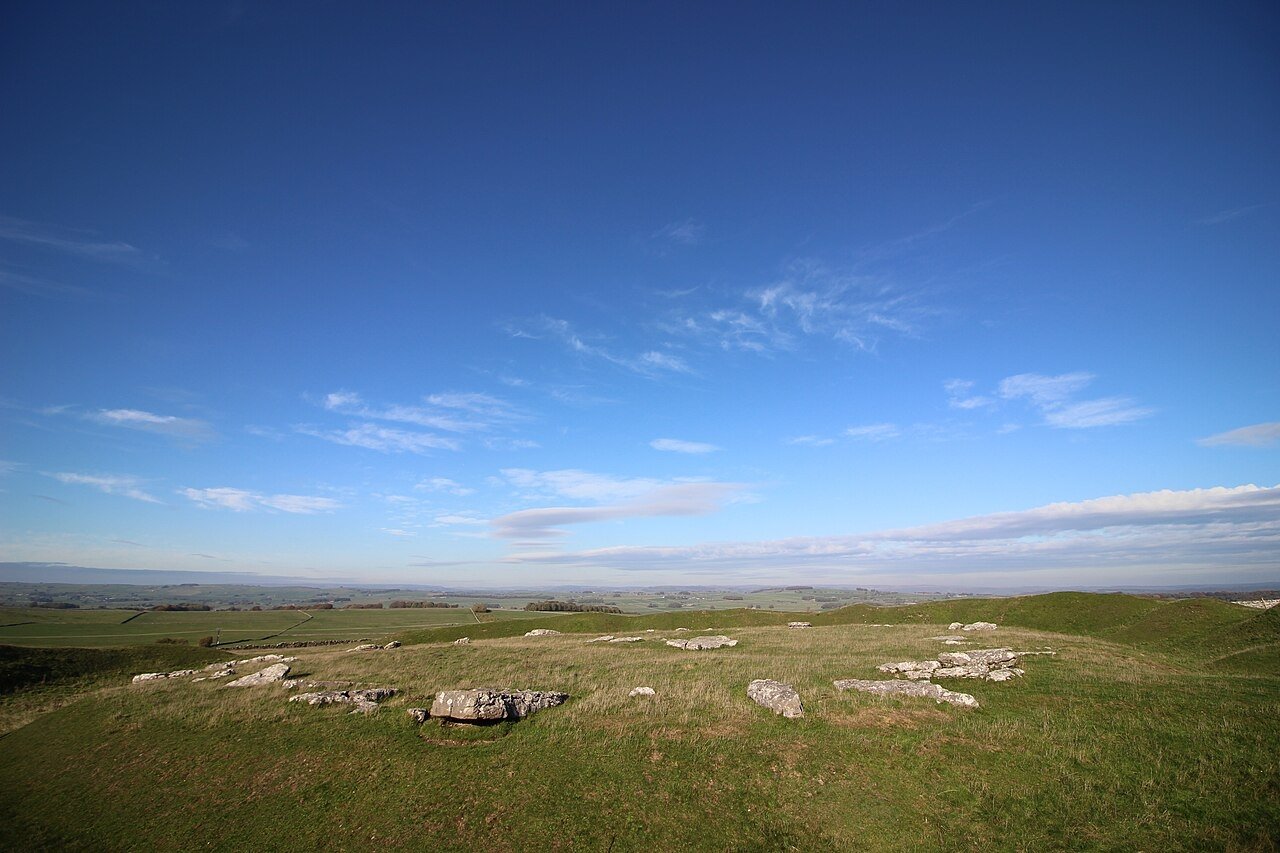
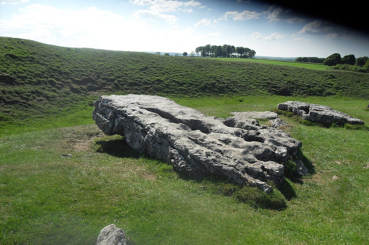
The first thing to understand about Arbor Low is its name. It derives from the Old English Eorthburg Hlaw — earthwork mound. The second thing to understand is that this is one of the most important prehistoric ceremonial sites in northern England. The third thing, which the name does not prepare you for and which the standard description of “Stonehenge of the North” actively misleads about, is that all the stones are flat.
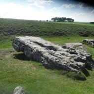
Every single limestone slab in the circle lies on the ground. Not fallen. Not toppled by time or deliberate destruction or agricultural clearance. Flat. And no one knows whether they were ever standing.
The henge at Arbor Low — the circular bank and ditch that encloses the monument — was constructed around 2500 BC in the late Neolithic period. The bank survives to a height of approximately 2 metres and its circumference encloses a flat plateau roughly 75 metres across. From outside the earthwork the bank is high enough that you cannot see the interior at all — you arrive at a wall of grass, climb it, and the circle appears below you on the plateau.
Inside: approximately 50 large white limestone slabs arranged in a roughly oval pattern, with a central grouping of four stones that may be the remains of a cove. The limestone is weathered to a specific grey-white that the research sources consistently describe as resembling the fallen teeth of an ancient titan. The description is accurate and the image is more useful than the clock-face comparison that the aerial photographs have generated — from the air the circle resembles a clock; from within it resembles something older and more ambiguous.
The question of whether the stones were ever upright has been debated for over a century. There are no confirmed socket holes that would prove the stones once stood. One stone is slightly pitched upward, suggesting it may have once been vertical. There are stumps at the north of the circle that imply former uprights. The official position of English Heritage is that the evidence is inconclusive. The stones may have been intentionally recumbent from the start — which would make Arbor Low not a fallen stone circle but a deliberately horizontal one, unique in intent rather than merely in condition.
The landscape around the monument is as significant as the monument itself. Gib Hill — a large Bronze Age round barrow built approximately 1,000 years after the henge was completed — sits 500 metres to the south. The surrounding Peak District moorland is dotted with Bronze Age barrows that used the Arbor Low complex as a reference point for their own positioning, suggesting that the site remained ceremonially important for centuries after its initial construction. Thomas Bateman, the 19th-century Derbyshire antiquarian who excavated Gib Hill in the 1840s, found human remains and pottery — the standard furniture of a Bronze Age burial.
The approach to Arbor Low passes through a working farmyard and across a field. The farmer charges a small access fee. This is not a managed heritage site with a visitor centre and interpretation panels. It is a field in Derbyshire, with one of the most significant prehistoric monuments in northern England in it, accessed through someone’s farm. The Peak District countryside extends in every direction — the White Peak plateau, the limestone walls, the upland pasture that has been farmed since the Bronze Age. The monument is in context in a way that no managed site can replicate.
What to look for specifically: Walk the full circumference of the bank before descending to the plateau — the view of the henge from above is the most legible reading of its scale and geometry. The four central stones of the cove. The Gib Hill barrow on the horizon to the south, its outline clear against the sky. The lack of anything that might explain why the stones are lying down — that absence is the most specific thing Arbor Low offers, and it is more interesting than most answers.
The pattern across all five
Avebury is 14 times larger than Stonehenge and has a pub inside the stone circle. Callanish is 500 years older than Stonehenge, aligned with the moon rather than the sun, and stands above a sea loch on a Scottish island with almost no visitor infrastructure. Skara Brae is older than the pyramids and has 5,000-year-old furniture still in the houses. Castlerigg has a mountain panorama that the Romantic poets walked from Keswick to sit inside. Arbor Low has 50 limestone slabs in a circle on the Peak District plateau and nobody can agree whether they were ever standing.
None of these is obscure in the academic sense. All five are UNESCO World Heritage Sites or part of UNESCO complexes. What they share is the condition of being one step further from the famous landmark than most itineraries extend — and at that one step, the significant archaeology is.
What this article gives you — and what the guide contains
Five sites. Five GPS coordinates. The honest editorial case for each and the specific thing that makes each one more remarkable than its relative anonymity suggests.
What it does not contain: the secondary positions at each site — the viewpoint above Avebury from which the scale of the henge becomes fully comprehensible, the Callanish II and III stone circles 800 metres from the main site that almost no visitor reaches, the cliff-top walk above Skara Brae in the direction most visitors don’t take, the approach to Castlerigg from Keswick at dawn when the mountains above the circle catch the first light. The access logistics — ferry timetables to Orkney, the Outer Hebrides CalMac sailings, the Brú na Bóinne booking system. The photography positions and light windows at each site. And the fourteen additional sites in Britain and Ireland that the Beyond the Map Ancient World guide covers, including the Ring of Brodgar on Orkney, the Rollright Stones in Oxfordshire, the stone rows of Dartmoor and the megalithic landscape of the Dingle Peninsula in Kerry.
That is in the guide.
→ The Ancient World Beyond — Beyond the Map
The guide that goes past the landmark.
Britain and Ireland covered in depth alongside Italy and Greece. Twenty-five sites across the three territories — each with GPS for primary and secondary positions, access logistics, the best time of day and month to visit, and the honest editorial case for what makes each one worth the journey and what the standard coverage gets wrong.
25 sites · 3 territories · GPS atlas · access logistics · photography positions · the honest editorial case
Coming 2026 · €17 · Join the Hidden Dispatch to be notified at launch →
The Beyond the Map catalogue — field guides to the places the standard itinerary has not reached — is available now at thewanders.eu