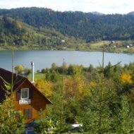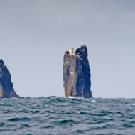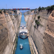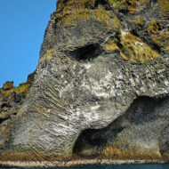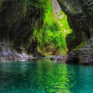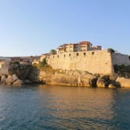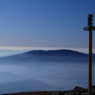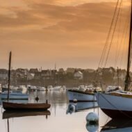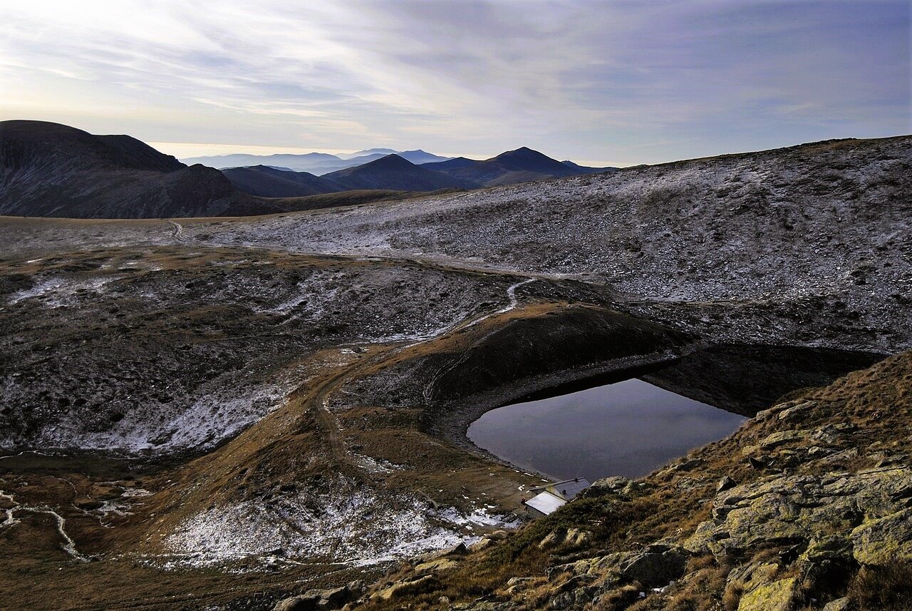


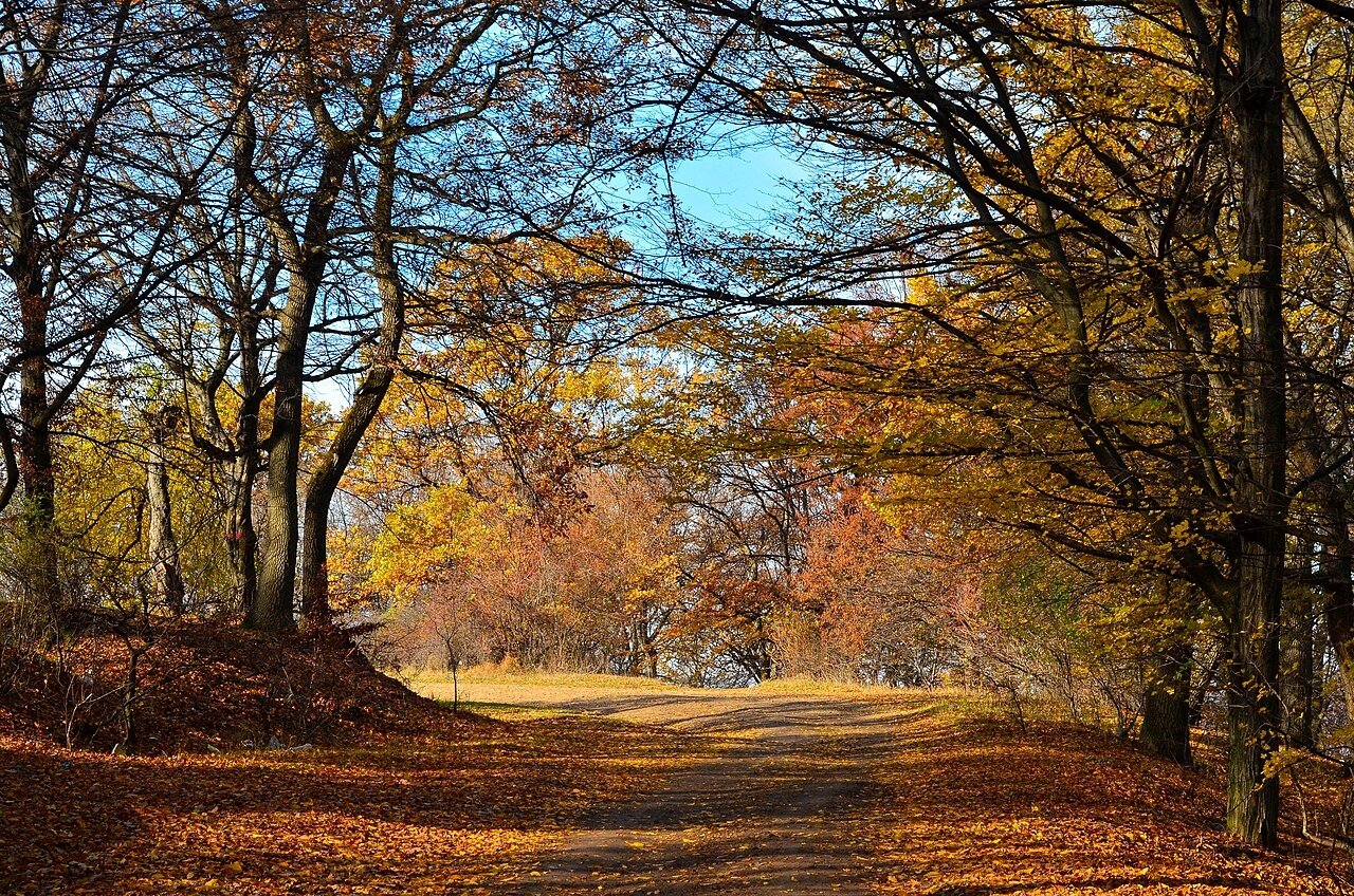
A Bohemian castle built over a “gate to hell”, a Thracian rock city where an oracle spoke to Alexander, a hill of witches on the Baltic dunes, Transylvania’s most mysterious forest, and a cave on the Gargano where an archangel is said to have appeared.
Every country has its haunted places, but some landscapes carry stories that are older, stranger and harder to explain away. They are not famous monuments. They are a castle with no reason to exist, a hill full of carved devils, a clearing in a forest where nothing grows. Around each of them, people have told the same kind of story for centuries: that this is a place where our world touches another one.
You don’t have to believe the legends to feel them. These five places are worth visiting for their history, their landscapes and their silence. But go at dusk, and you may understand why the stories began.
- Houska Castle, Czech Republic: the castle built to seal a gate to hell
- Perperikon, Bulgaria: the rock city of the oracle of Dionysus
- The Hill of Witches, Lithuania: devils and witches carved in the dunes
- Hoia-Baciu Forest, Romania: Transylvania’s “UFO forest”
- Monte Sant’Angelo, Italy: the archangel’s cave on the Gargano
1. Houska Castle, Czech Republic
50.49° N, 14.62° E · Blatce, about 47 km north of Prague
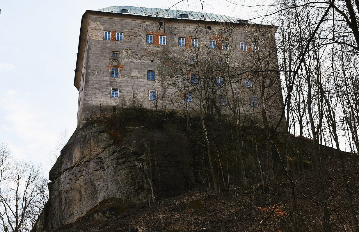
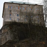
In the forests north of Prague, on a sandstone rock, stands a small Gothic castle that seems to make no sense. Houska was built in the second half of the 13th century, probably on the orders of King Ottokar II of Bohemia. Yet it was far from any trade route, it had no outer fortifications, and it had no water source except a rainwater cistern. Some of its defences, it is said, faced inwards.
The legend explains why. The castle was built, people say, over a hole in the rock so deep that no one could see the bottom, a gate to hell. Condemned prisoners were offered a pardon if they agreed to be lowered into it. The first came back up screaming, his hair turned white, decades older in a few seconds. So the hole was sealed, and a chapel was built directly on top of it, to keep whatever lived below from escaping. On the chapel walls, faded Gothic frescoes show strange, half-animal figures.
The historical answer is simpler: Houska was an administrative centre for the royal estates. The castle has been open to visitors since 1999, and the chapel is part of the tour.
Missing Coordinates Highlights
- The Gothic chapel said to stand over the gate to hell
- Faded frescoes of demon-like and animal-like figures
- The late-Gothic paintings of the green chamber
- The sandstone forests of the Kokořínsko area around the castle
When: the castle opens mainly from spring to autumn; check opening days before you go. Weather in Houska: a central European climate. In the Prague area, average highs are about 24°C in July, 20°C in September and 14°C in October, while January stays around 1°C. Rain is spread through the year, so bring a layer. Getting there: about an hour by car from Prague. Public transport is limited, so a car is easiest. Park below the castle and walk up.
2. Perperikon, Bulgaria
41.72° N, 25.46° E · Eastern Rhodopes, about 15 km north-east of Kardzhali
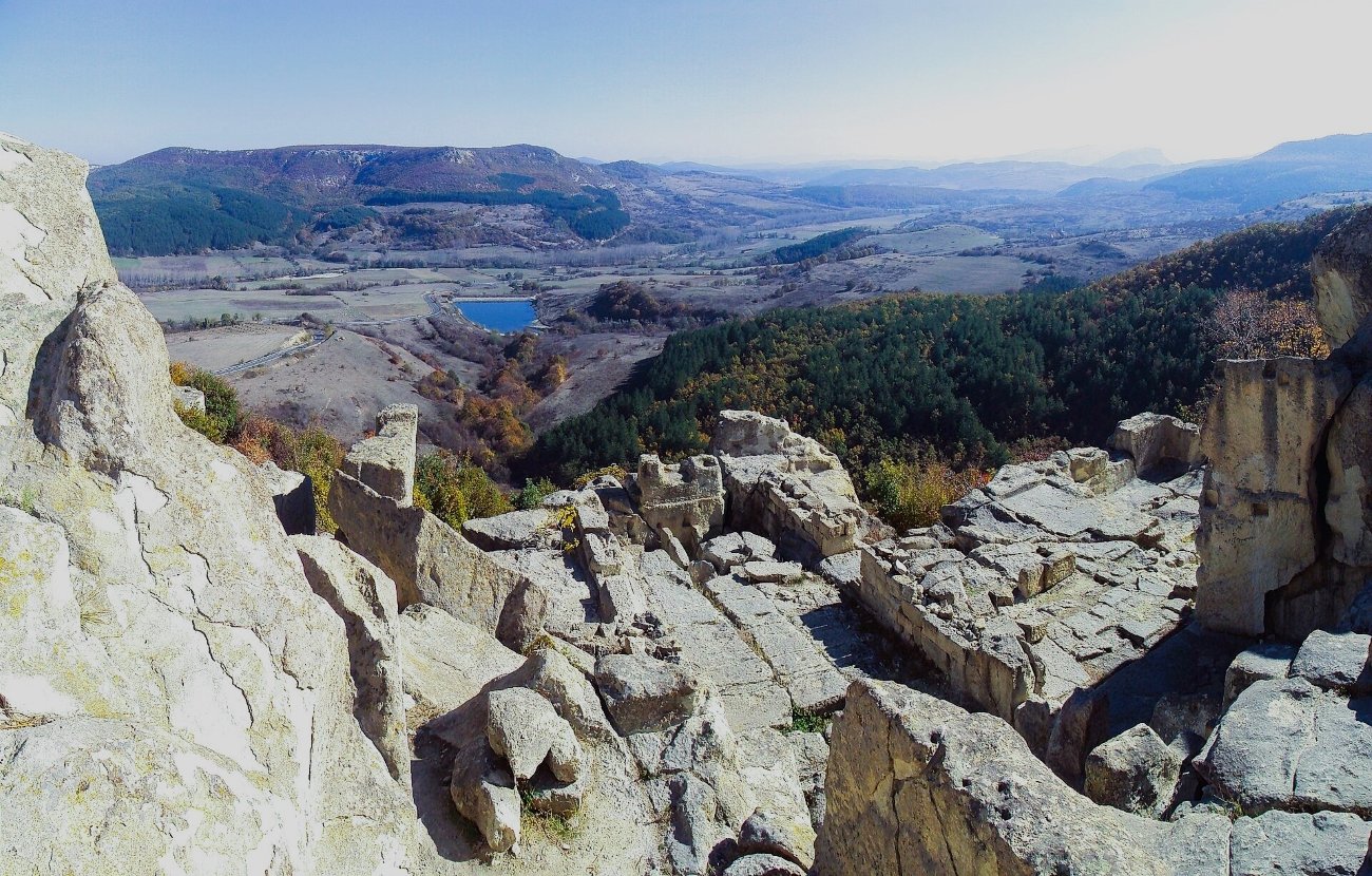
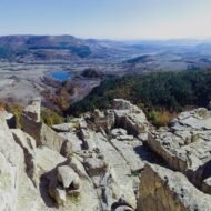
On a rocky hill in the Eastern Rhodopes, close to the Greek border, the ancient Thracians cut an entire city into the stone: halls, staircases, streets, altars, tombs and a palace with dozens of rooms, all hewn from the living rock. People came to this hill from at least the Bronze Age, and archaeologists believe it was a sacred place long before it was a city.
Many believe that Perperikon was the site of the famous oracle of Dionysus. Ancient writers tell of a Thracian sanctuary where wine poured on the altar would burst into flame to answer a question. It is said that in 335 BC, when the young Alexander the Great came, the flame rose high, and the priests told him he would conquer the known world. Centuries later, according to the Roman historian Suetonius, the father of the future emperor Augustus consulted the same oracle, and the flame rose so high that it reached the sky. Whether that altar was here is still debated, but in the great ritual hall at Perperikon, a round altar about two metres across, cut from the rock, still stands.
Excavations, led since 2000 by archaeologist Nikolay Ovcharov, are still uncovering the site. Romans, Byzantine bishops and medieval rulers all used the hill after the Thracians, until it was abandoned after the Ottoman conquest in the 14th century.
Missing Coordinates Highlights
- The rock-cut palace, halls and staircases
- The great round altar, possibly the altar of the Dionysus oracle
- Views across the Eastern Rhodopes
- Combining it with Kardzhali and the Rhodope villages
When: April to June and September to October. Avoid midday in July and August: there is little shade on the rocks. Weather in Perperikon: hot, dry summers, with average highs of about 31°C in July and August in nearby Kardzhali; August is the driest month. September is still around 26°C, October about 19°C. Afternoon thunderstorms are common from mid-May to mid-June. Getting there: about 20 minutes by car from Kardzhali. From northern Greece, cross the border at Makaza, north of Komotini.
3. The Hill of Witches, Lithuania
55.54° N, 21.12° E · Juodkrantė, Curonian Spit
The Curonian Spit is a thin ribbon of sand and pine forest between the Baltic Sea and the Curonian Lagoon. Lithuanian legend says it was made by Neringa, a kind giantess who carried sand in her apron to protect the fishermen from the storms. Near the village of Juodkrantė, on a forested dune above the lagoon, her story and many others come to life on the Hill of Witches, Raganų kalnas.
Long before it was a sculpture trail, the hill was a gathering place for Joninės, the Lithuanian midsummer festival, with its pagan roots. In 1979, a group of Lithuanian folk artists began carving figures along a winding forest path. Today there are more than 80 wooden sculptures of witches, devils, spirits and heroes from Lithuanian folklore, carved from local oak and pine and left unpainted, so the weather slowly darkens them. Some are funny, some are frightening, and on a misty evening among the pines, it is hard to tell which.
Missing Coordinates Highlights
- More than 80 carved witches, devils and spirits on a forest trail
- Neringa, the giantess who made the spit
- The dunes and pine forests of the Curonian Spit
- Juodkrantė’s lagoon shore and its old fishermen’s houses
When: May to September for the spit; midsummer (Joninės, 23–24 June) for the old festival spirit; autumn for mist and empty paths. Weather on the Curonian Spit: cool and changeable. Summer highs are only about 21°C in July and August, and the Baltic reaches about 18–19°C. Rain increases through late summer and peaks in September, when highs drop to about 16°C. Getting there: take the ferry from Klaipėda to Smiltynė, then drive about 20 km south along the spit. Nida is about 30 minutes further south.
4. Hoia-Baciu Forest, Romania
46.78° N, 23.53° E · On the western edge of Cluj-Napoca, Transylvania
Just outside Cluj-Napoca, the largest city in Transylvania, lies a forest of about 250 hectares that has been called Romania’s “Bermuda Triangle”. It is named, the story says, after a shepherd who walked into the forest with 200 sheep and was never seen again.
In the middle of Hoia-Baciu, the trees suddenly stop. A round clearing opens, where nothing grows. In 1968, a military technician named Emil Barnea photographed a disc-shaped object above this clearing, and the image travelled around the world. Since then, the forest has drawn ghost hunters, UFO watchers and the curious. Visitors report nausea, anxiety, the feeling of being watched, and cameras and phones that stop working. There is no scientific evidence for any of it, but the silence of the forest at night is real.
Today, guided night walks lead small groups into the forest. By day, it is simply a quiet woodland above the city, popular with walkers and runners.
Missing Coordinates Highlights
- The round clearing where the trees stop
- The site of Emil Barnea’s 1968 “UFO photograph”
- Guided night walks through the forest
- Cluj-Napoca, one of Romania’s liveliest cities, minutes away
When: April to October for walking; autumn for fog and colour. Night tours run most of the year. Weather in Cluj-Napoca: a continental climate. Average highs are about 27°C in July, 21°C in May and September and 16°C in October, while January hovers around 1°C, often with frost. June and July are the wettest months, with summer thunderstorms. Getting there: the forest is on the western edge of Cluj-Napoca, a short taxi ride from the centre. Cluj has an international airport.
5. Monte Sant’Angelo, Italy
41.71° N, 15.95° E · Gargano promontory, Apulia · about 800 m above the sea
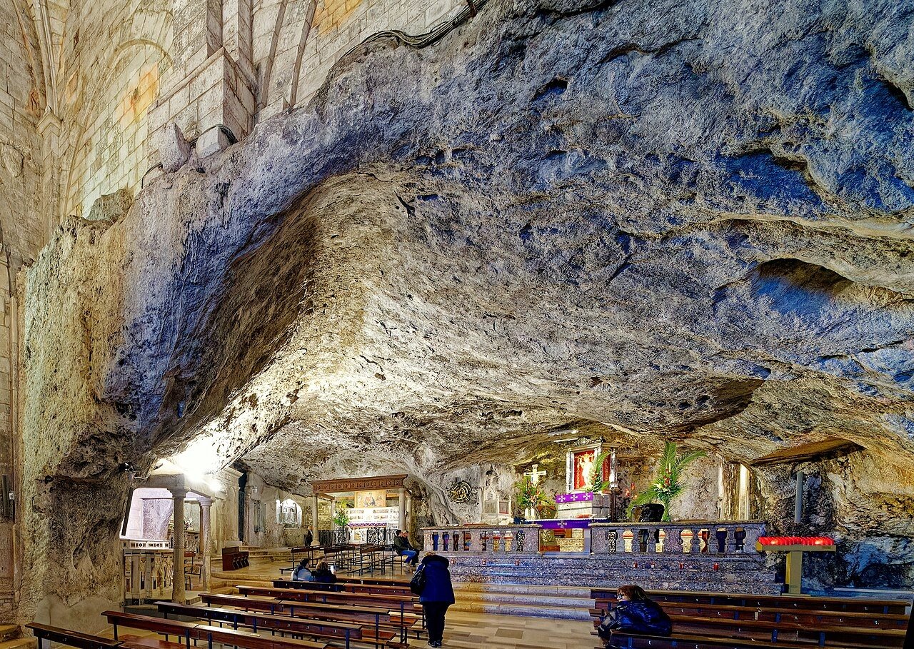
High on the Gargano, the limestone spur that juts into the Adriatic from Italy’s “heel”, the town of Monte Sant’Angelo sits about 800 metres above the sea. Beneath it lies one of the oldest Christian sanctuaries in Western Europe, and one of the strangest: a church inside a cave, dedicated to the Archangel Michael.
Tradition tells of three apparitions of the archangel on the mountain, in 490, 492 and 493. The first, the “apparition of the bull”, is the one people remember. A lord of the mountain lost his finest bull and found it kneeling at the mouth of a cave. Angry, he shot an arrow at it, but the arrow turned in the air and struck him instead. Soon after, the archangel appeared to the local bishop and declared the cave his own. Because no human hand had consecrated it, pilgrims called it the “Celestial Basilica“.
The Lombards made it their national sanctuary, and from the early Middle Ages, pilgrims came from as far away as Ireland, on the road to the Holy Land. Their names and marks are still carved into the stone. To reach the cave, you pass through bronze doors cast in Constantinople in 1076, then walk down a staircase of 86 steps into the rock. Since 2011, the sanctuary has been part of the UNESCO World Heritage Site “The Lombards in Italy”.
There is one more legend. The sanctuary lies on an almost straight line with two other great shrines of St Michael: the Sacra di San Michele in Piedmont and Mont-Saint-Michel in Normandy. The story says the line was cut by a blow of the archangel’s sword. Historians call it a coincidence, but it is a remarkable one.
Missing Coordinates Highlights
- The cave church of St Michael, reached by 86 steps into the rock
- The bronze doors cast in Constantinople in 1076
- The Lombard crypts and pilgrims’ inscriptions
- The “Michael Line” linking the Gargano, Piedmont and Normandy
- The Foresta Umbra and the Gargano coast below
When: April to October; avoid the main pilgrimage days if you want quiet. In winter, the town is often in fog, which suits the legend. Weather in Monte Sant’Angelo: cooler than the coast because of its height. Average highs are about 26°C in July and August, 21°C in September and 17°C in October, while January is around 7°C. It is often windy, and fog is frequent in winter. Getting there: about 30 minutes by car up the mountain road from Manfredonia, or about an hour from Foggia. Bari airport is the nearest major airport.
Beyond the map
Legends grow where people feel something they cannot explain. A castle in the wrong place. A rock that seems to speak. A hill of carved devils. A clearing where the trees stop. A cave that no human hand consecrated. Science may have answers for all of them, and in most cases it does. But the stories have lasted longer than the explanations, and they still bring people to the edge of the map.
Visit them with respect, and with a little imagination. They are some of the strangest places in Europe, and some of the most beautiful.
Read next: Europe’s Last Pagan Landscapes · Europe’s Last Pagan Landscapes II · Where Europe’s Myths Began (update with the published URL)
Carry the journey with you: Beyond the Map Field Guides
Hidden Europe — The Beyond the Map Map Every place in this article, and hundreds more, on one map of the Europe most travellers never see.
Explore more: Europe’s Missing Coordinates · Living Traditions · Terra Incognita