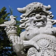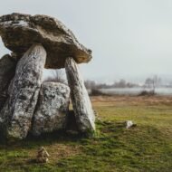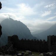


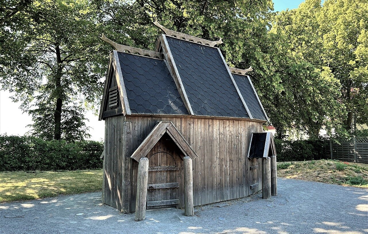
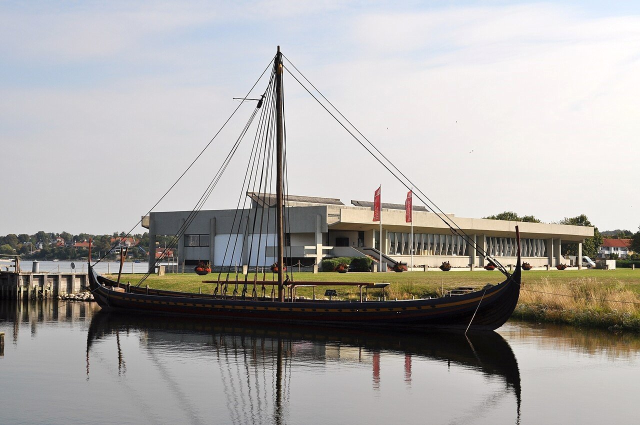
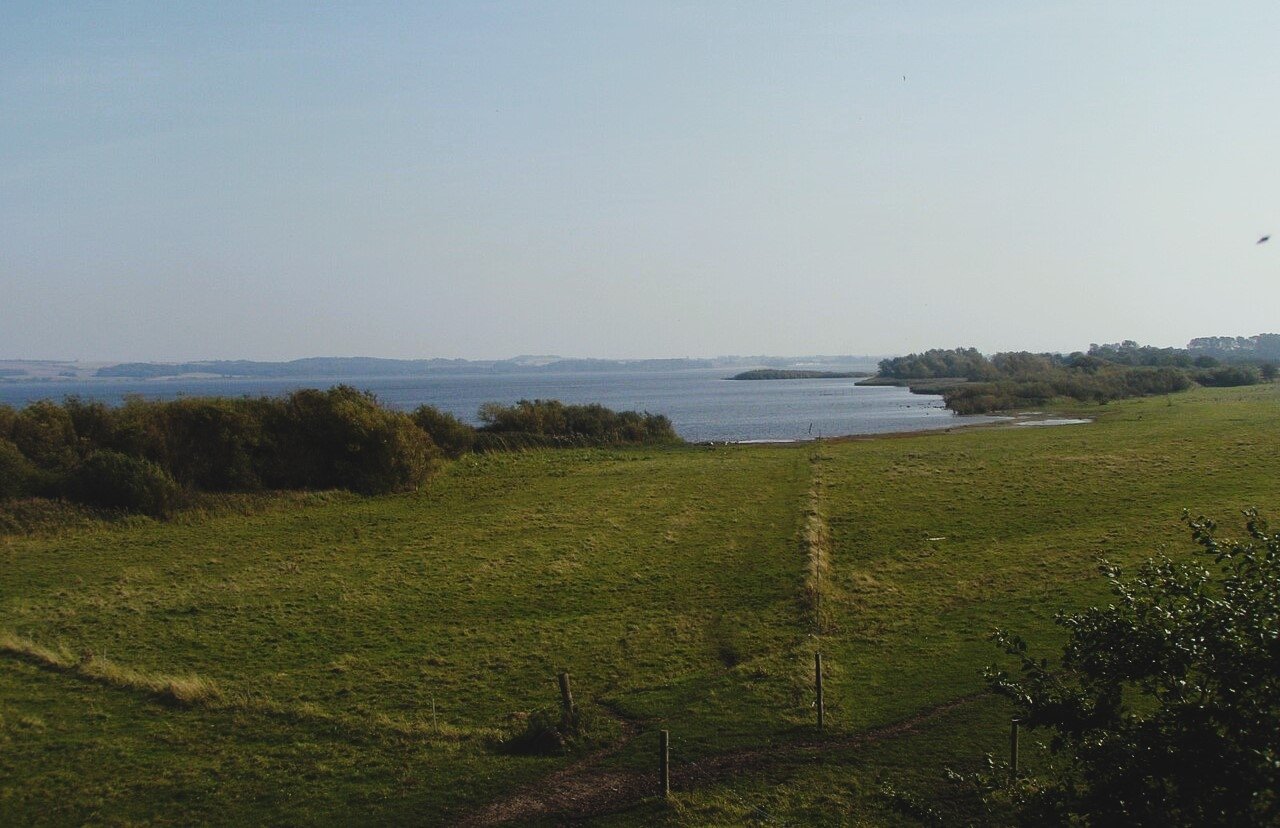
Odin’s eight-legged horse left a hoofprint in Iceland. A Danish lake still bears the name of the war god Tyr. A Swedish rock tells the story of the dragon-slayer Sigurd. Beyond the films and the comic books, the Norse myths are rooted in real places, and you can still walk through them.
Odin, Thor, Loki, Freya, the Valkyries, Valhalla: the Norse gods are better known today than they have been for a thousand years. But they did not begin in films and video games. They were the gods of real people, who worshipped them in halls and at lakes, carved their stories into stone, and gave their names to the landscape.
When Scandinavia became Christian, around the year 1000, the old gods were pushed out of the temples. They survived in poems and sagas, written down in Iceland in the 13th century, and in places: a lake named after a god, a hall where legendary kings feasted, a canyon shaped like a hoofprint, a rock covered in dragons.
This is the first part of our Mythic Europe series: five places in Scandinavia and Iceland where the Norse myths still feel close.
| Place | The myth | |
|---|---|---|
| 1 | Ásbyrgi, Iceland | The hoofprint of Sleipnir, Odin’s eight-legged horse |
| 2 | Lejre, Denmark | The royal hall of the legendary Skjoldung kings, and Beowulf |
| 3 | Tissø, Denmark | The lake of Tyr, the god of war and justice |
| 4 | Uppåkra, Sweden | A temple to the old gods, used for 700 years |
| 5 | Ramsund, Sweden | Sigurd the dragon-slayer, carved in stone |
1. Ásbyrgi, Iceland
66.02° N, 16.50° W · Vatnajökull National Park, north Iceland
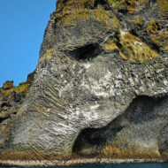
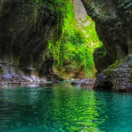
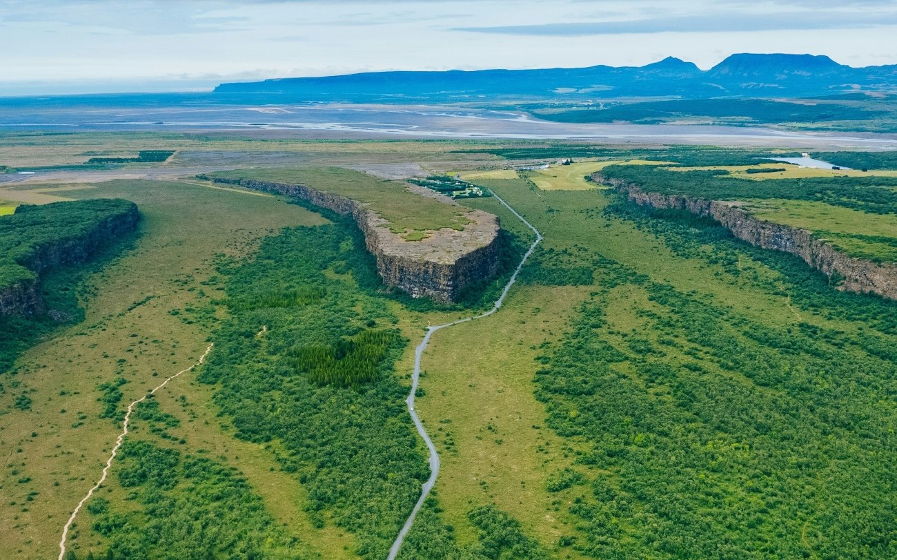
In the north of Iceland, east of Húsavík, the land suddenly opens into a vast horseshoe-shaped canyon. Ásbyrgi is about 3.5 km long and more than 1 km wide, with cliffs up to 100 metres high, and a birch forest and a small lake, Botnstjörn, at its far end. In the middle stands Eyjan, “the island”, a rock wall 25 metres high that splits the canyon in two.
Geologists say it was carved by catastrophic glacial floods from the river Jökulsá á Fjöllum, thousands of years ago. Icelanders tell a different story. They call it Sleipnir’s footprint: the mark left when Odin‘s eight-legged horse, the fastest of all horses, touched the ground as he galloped across the sky. Its name, Ásbyrgi, is often translated as “the shelter of the gods”.
In the Field Guide: the walk to Botnstjörn and the viewpoint on Eyjan, the Jökulsárgljúfur canyon and Dettifoss nearby, and the Diamond Circle route.
When: June to September, when the roads and trails are open and the birch forest is green. Weather at Ásbyrgi: a cool northern Icelandic climate. Summer days are mild, usually in the low to mid teens °C, sheltered inside the canyon; winters are cold, dark and snowy, and access can be difficult. Getting there: about 38 km east of Húsavík, on the Diamond Circle road; about 2 hours by car from Akureyri.
2. Lejre, Denmark
55.61° N, 11.97° E · Gammel Lejre, Zealand, about 45 minutes west of Copenhagen
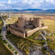
In the rolling fields south of Roskilde lies the small village of Gammel Lejre, “Old Lejre”. Medieval Danish and Icelandic chronicles named it as the seat of the Skjoldungs (Scyldings), the legendary first kings of Denmark, descendants of Skjold, son of Odin. The Old English poem Beowulf opens in the great hall of these kings, Heorot, where the monster Grendel came at night.
For a long time, it was only legend. Then archaeologists found the halls. On a hill near the village, a great hall about 47 metres long was built around 500–600, and rebuilt again and again over the following centuries. Nearby are burial mounds and ship settings, graves marked by stones placed in the shape of a ship, one of them 80 to 100 metres long.
Today, you can walk among the mounds and stone ships at Gammel Lejre, visit the Lejre Museum, and, nearby at Lejre Land of Legends, step inside the Kings Hall, a 61-metre reconstruction of a Viking hall, opened in 2020.
In the Field Guide: the walk through the mounds and ship settings, the Kings Hall at Land of Legends, and the Skjoldung legends behind Beowulf.
When: May to September; Land of Legends opens in summer. Weather at Lejre: a mild Danish climate. Summer highs are around 20–22°C, autumns are cool and windy, and winters are grey, around freezing. Rain is spread through the year. Getting there: about 45 minutes by car west of Copenhagen, or by train to Lejre station.
3. Tissø, Denmark
55.58° N, 11.29° E · West Zealand, near Kalundborg
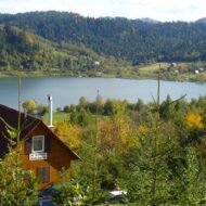
Tissø is a quiet lake in the green farmland of West Zealand. Its name means “Tyr’s lake”, after Tyr, the one-handed god of war and law, who sacrificed his hand to bind the monstrous wolf Fenrir.
The name was not an accident. For centuries, from before the birth of Christ to the end of the Viking Age, people threw offerings into the lake, mostly weapons and jewellery. On the western shore, archaeologists found the residence of a powerful Viking-age chieftain, with a great hall, a fenced cult building, and an unusual number of amulets: Thor’s hammers and small silver figures of Valkyries. More than 15,000 objects were recovered here, including the Tissø Ring, a heavy gold ring from the 10th century found in 1977.
Today, the Fugledegård interpretation centre tells the story, and a marked trail of about 3.5 km leads through the landscape of the chieftain’s estate, with a bird hide on stilts over the lake.
In the Field Guide: the Fugledegård trail, where the finds are displayed in Copenhagen, and the other cult sites of Viking Zealand.
When: April to October. Weather at Tissø: like Lejre: mild summers, cool, windy autumns and grey winters near freezing. Getting there: about 15 km south of Kalundborg, about 1 hour 15 minutes by car from Copenhagen.
4. Uppåkra, Sweden
55.67° N, 13.17° E · South of Lund, Skåne
Just south of Lund, in the flat fields of Skåne, lies one of the most important places in the history of Norse religion. At Uppåkra, between 2000 and 2004, archaeologists uncovered a small but remarkable building: about 13 by 6.5 metres, with three doors and a raised central section on four great wooden posts. It was first built in the 3rd century and rebuilt six times on the same plan, up to the early Viking Age. It was probably used from about the 6th to the 10th century.
Inside and around it were extraordinary finds: about 200 tiny gold foil figures (guldgubbar), more than at any other site in Sweden, a bronze and silver beaker decorated with gold, a glass bowl from the region north of the Black Sea, and many deliberately broken weapons. One archaeologist called it the first Scandinavian building for which the word “temple” can justly be used.
The site today is mostly fields, but its finds are shown at the Historical Museum in Lund, and the story fits perfectly with the Danish centuries of Skåne.
In the Field Guide: visiting the site and the finds in Lund, and the Iron Age and Viking landscapes of Skåne, from Uppåkra to Foteviken.
When: April to October. Weather at Uppåkra: the mild climate of southern Sweden. In nearby Malmö, average highs are about 23°C in July, 18°C in September and 12°C in October, and about 3°C in January. Getting there: a few kilometres south of Lund; about 20 minutes by car from Malmö.
5. Ramsund, Sweden
59.36° N, 16.40° E · Sundbyholm, near Eskilstuna, Södermanland
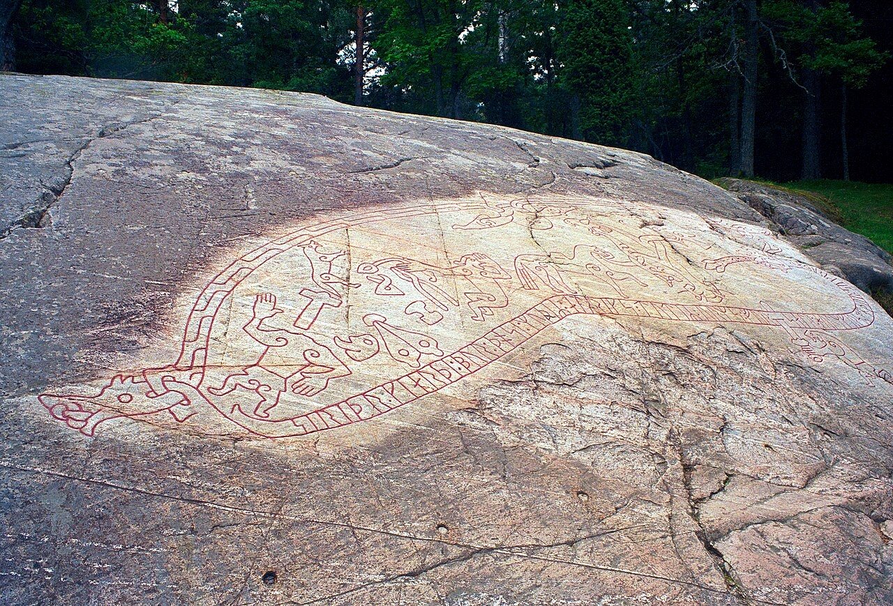
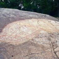
In a forest near Lake Mälaren, west of Stockholm, a flat rock beside a stream carries one of the most famous images of the Viking world. The Ramsund carving, made around 1030, tells the story of Sigurd, the hero who killed the dragon Fafnir.
The carving reads like a comic strip in stone. The serpent’s body, filled with runes, frames the whole scene. Below, Sigurd stabs the dragon from beneath. To one side, he roasts Fafnir’s heart over a fire, burns his thumb and puts it in his mouth; suddenly he understands the birds in the tree, who warn him that his foster-father Regin plans to kill him. Regin lies beheaded beside his smith’s tools, and Sigurd’s horse, Grani, waits, loaded with the dragon’s treasure.
The runes themselves tell a different, Christian story: a woman built a bridge for the soul of Holmgeirr. Pagan myth and Christian prayer, side by side on one rock, at the moment Sweden was changing faith.
In the Field Guide: how to read every scene, the other Sigurd stones of Sweden, and the Viking landscape around Lake Mälaren.
When: all year, but best from May to September. Weather at Ramsund: the climate of central Sweden: warm summers, with highs in the low 20s °C, and cold winters with snow. The carving can be hard to read when wet or snow-covered; low sunlight brings it out best. Getting there: near Sundbyholm, about 15 minutes by car from Eskilstuna, and about 1 hour 30 minutes from Stockholm. Local buses run from Eskilstuna to Sundbyholm; follow the signs to Sigurdsristningen.
Beyond the map
The Norse gods were never only stories. They were part of a landscape: a lake where offerings sank into the water, a hall where kings feasted, a temple where gold figures were buried in the posts, a rock where a hero fought a dragon, and a canyon that looked like the hoofprint of a god’s horse. A thousand years after the old faith ended, those places are still there, quieter than Valhalla, but much more real.
Mythic Europe — a Beyond the Map Field Guide
[Mythic Europe — The Beyond the Map Field Guide]
This is the first chapter of a guide to the places where Europe’s myths were born. The Norse chapter includes:
- The five sites in detail, with visiting notes, walks and the best times to go
- Gamla Uppsala, the royal mounds of the Swedish kings
- The picture stones of Gotland, with scenes of Valhalla and Odin’s horse
- Thingvellir, where Iceland chose Christianity around the year 1000
- Places named after the gods across Scandinavia, from Odense (“Odin’s sanctuary”) to the lakes and hills of Thor and Freya
- How to read the myths: the Eddas, the sagas, and what is really old
- Offline maps and GPS points for every site
→ [Get the Field Guide]
Coming next in Mythic Europe: the Greek gods.
Read next: Where the Vikings Were · Where Europe’s Myths Began · When Skåne Was Danish · Foteviken Museum
Explore more: Trails · Europe’s Landscapes of Legend · Europe’s Most Beautiful, Beyond the Map