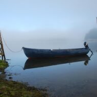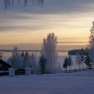
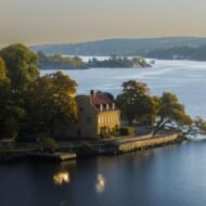
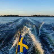
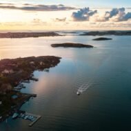
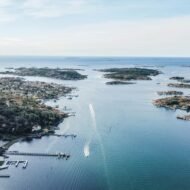
Sweden has 221,800 islands. Approximately 1,000 of them are permanently inhabited. The rest are granite skerries, forested islets and bare rock emerging from three completely different sea territories — the Bohuslän coast of the west, the Stockholm Archipelago of the east and the Gulf of Bothnia in the north — each with its own extraordinary character, its own ferry network and its own reason to take the boat rather than stay on the mainland.
- The geography — three island worlds
- The Bohuslän Coast — west Sweden
- The Stockholm Archipelago — east Sweden
- The Gulf of Bothnia — north Sweden
- The route — island hopping Sweden
- The islands — documented
- Stockholm Archipelago: 30,000 Islands From the City
- Ljusterö: The Stockholm Archipelago Island Worth the Ferry
- Yxlan: Where the Stockholm Archipelago Meets Open Baltic
- Öja: Sweden’s Southernmost Island Guards a Cold War Secret
- The Rauks of Fårö: Where Limestone Becomes Sculpture
- Gotland: The Baltic Island With 94 Medieval Churches
- Styrsö: Gothenburg’s Most Beautiful Car-Free Island
- Åstol: The Swedish Island With No Cars and No Tourists
- Harstena: Where Sweden’s Grey Seals Rule the Archipelago
- Ulvön: The Swedish Island That Invented Surströmming
- Holmön: The Swedish Island Where Winter Brings an Ice Road
- Swedish islands in The Wanders Island Hunter collection
Swedish island travel is not a summer-only activity. The Stockholm Archipelago is extraordinary in February when the ice forms between the islands and the sea eagles hunt along the frozen channels. The Gulf of Bothnia islands in the far north are connected by ice roads in the coldest winters — driving across frozen sea to reach an island that the ferry cannot reach is one of the most extraordinary travel experiences available in Scandinavia. Even Gotland — the most visited Swedish island — is extraordinary in November when the crowds have gone and the medieval streets of Visby are empty in the Baltic wind.
This is the editorial guide to the Swedish islands The Wanders covers — from the car-free fishing communities of the Bohuslän coast to the Cold War military secrets of Sweden’s southernmost island.
The geography — three island worlds
Swedish island travel divides naturally into three completely different territories. Understanding which territory you are heading to determines everything — the ferry operator, the character of the islands, the best season and what you are actually going there to find.
The Bohuslän Coast — west Sweden
Gothenburg archipelago north to the Norwegian border
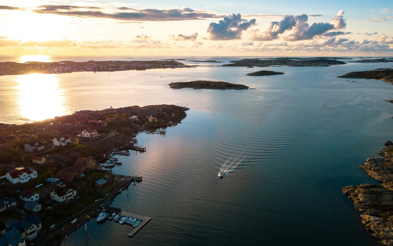
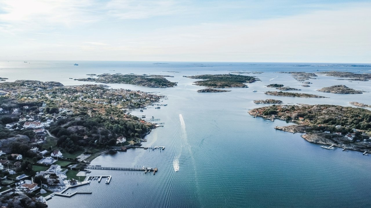
The Swedish west coast archipelago — the Bohuslän landscape of bare granite, red fishing villages and extraordinary coastal light — is the closest Swedish island territory to continental Europe and the most accessible from Gothenburg. The islands here are lower, more exposed and more maritime in character than the forested Stockholm Archipelago. Car-free is the norm rather than the exception. The fishing community heritage — herring, lobster, the extraordinary smoked fish tradition — is more visible here than anywhere else in Sweden.
The Bohuslän islands sit closest to the confirmed Wanders Village Collection register — small fishing communities of extraordinary architectural character on bare granite, accessible by short ferry crossings from the mainland, best explored slowly on foot.
The Stockholm Archipelago — east Sweden
30,000 islands from the city to the open Baltic
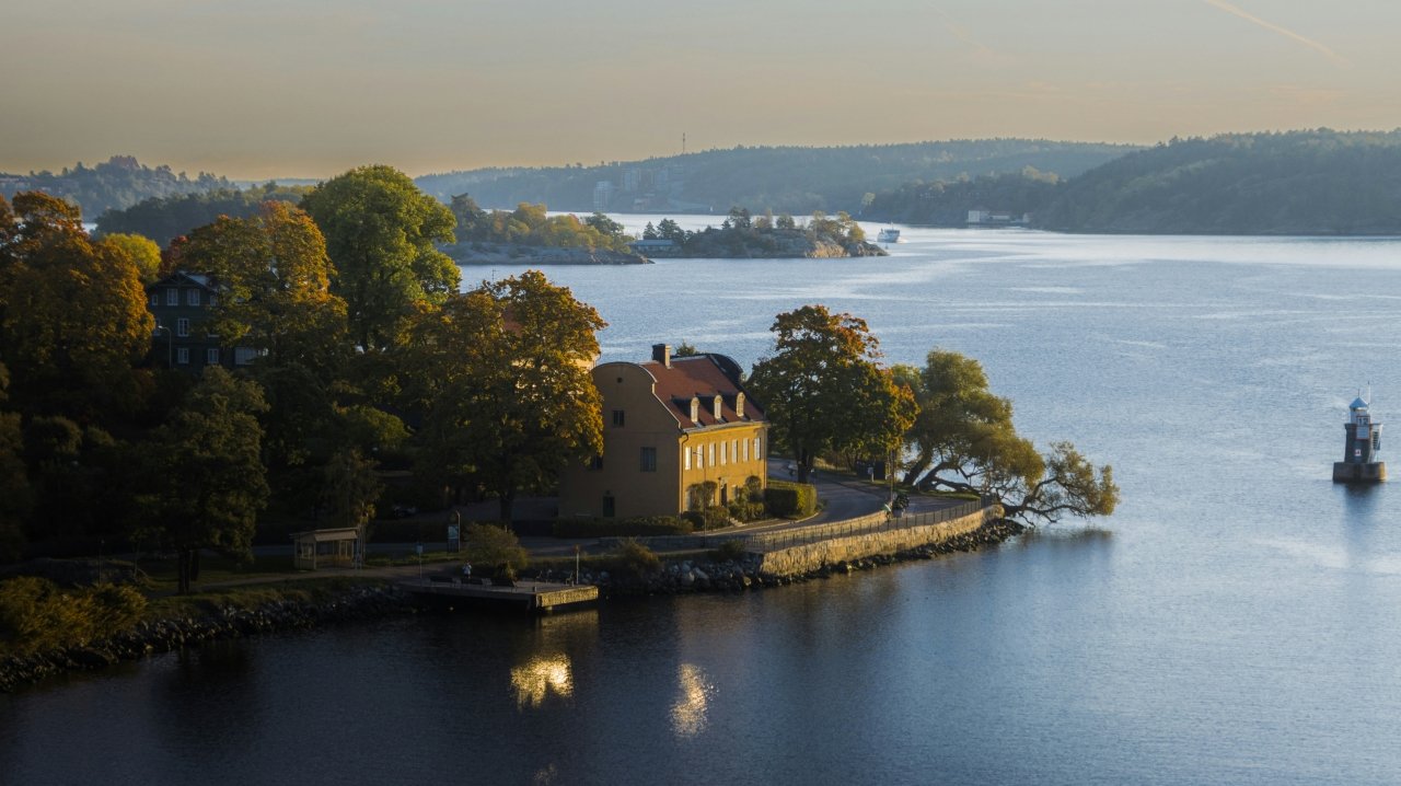
The Stockholm Archipelago is the largest archipelago in Sweden and the most accessible from a major European city — the Waxholmsbolaget ferry network runs scheduled services from Stockholm’s Strömkajen pier to islands that feel completely remote within 2-3 hours of the city centre. The inner archipelago is forested and sheltered — red wooden boathouses, summer communities, sea eagles. The outer archipelago approaches the open Baltic — granite skerries, more exposure, complete solitude in winter.
The Stockholm Archipelago pillar article covers the complete network in detail.
The Gulf of Bothnia — north Sweden
The most remote Swedish island territory
The Gulf of Bothnia islands are the least visited and most extraordinary of all Swedish island territories — northern communities that freeze into the ice sheet in the coldest winters, accessible by ice road when the ferries cannot run, maintaining extraordinary traditions of boat building and fishing in one of the most remarkable maritime landscapes in Scandinavia.
The route — island hopping Sweden
Full island hopping Sweden route guide: coming soon →
The complete Swedish island hopping route will cover the Bohuslän coast from Gothenburg north, the Stockholm Archipelago from the inner islands to the outer skerries and the Gulf of Bothnia islands of the north — three separate ferry networks, three completely different landscapes, one complete Swedish island world.
The islands — documented
Stockholm Archipelago: 30,000 Islands From the City
Stockholm · Eastern Sweden · Waxholmsbolaget network
The Stockholm Archipelago is the hub of The Wanders Swedish island coverage — the complete guide to the Waxholmsbolaget ferry network, the inner and outer archipelago character, the extraordinary seasonal contrast between summer green and winter ice, and the four individual island articles that serve as spokes of the archipelago cluster.
Read the complete guide: Stockholm Archipelago — 30,000 Islands From the City →
Ljusterö: The Stockholm Archipelago Island Worth the Ferry
Northern Stockholm Archipelago · 800 permanent residents
Ljusterö is a residential and summer island in the northern Stockholm Archipelago — one of the larger inhabited islands of the inner archipelago, accessible by ferry from the mainland, with a permanent community of approximately 800 year-round residents and a significant summer population drawn by the extraordinary archipelago landscape of forested granite islands, sheltered bays and extraordinary Baltic light.
Read the full article: Ljusterö — The Stockholm Archipelago Island Worth the Ferry →
Yxlan: Where the Stockholm Archipelago Meets Open Baltic
Northern Stockholm Archipelago · Outer territory
Yxlan lies between Furusund and Blidö in the outer northern archipelago — where the sheltered inner island landscape opens toward the open Baltic and the islands become increasingly sparse, the granite more exposed and the maritime character more dominant. The Furusund channel beside Yxlan has been the passage for virtually all Baltic shipping approaching Stockholm for centuries. August Strindberg spent significant time in this territory and the northern archipelago landscape is directly present in several of his most important works.
Read the full article: Yxlan — Where the Stockholm Archipelago Meets Open Baltic →
Öja: Sweden’s Southernmost Island Guards a Cold War Secret
Southern Stockholm Archipelago · Landsort · Military Heritage
Öja is Sweden’s southernmost island in the Stockholm Archipelago — home to the extraordinary Landsort Lighthouse, one of the oldest lighthouses in Sweden, and the extraordinary ERSTA coastal artillery battery from the Cold War era. Battery Landsort was one of six ERSTA batteries — among the most important Swedish defence systems of the Cold War, capable of covering the southern approaches to Stockholm from the Baltic. The battery is now open to visitors. The lighthouse has guided shipping through the southern archipelago approaches for centuries.
Two companion articles cover the individual Öja heritage sites in detail:
Öja Island — Sweden’s Southernmost Island → Landsort Lighthouse → Battery Landsort — Cold War Coastal Artillery →
The Rauks of Fårö: Where Limestone Becomes Sculpture
Fårö · Gotland · Baltic Sea
Fårö is a small island at the northern tip of Gotland — connected by a short ferry crossing from Fårösund — whose extraordinary rauks are the defining feature. Rauks are limestone sea stacks eroded by wave action over millions of years into extraordinary sculptural forms — columns, arches, figures and towers of pale limestone rising from the Baltic shore in formations that look like nothing else in Scandinavia. Ingmar Bergman lived and worked on Fårö for decades and is buried here — the island’s extraordinary light and extraordinary landscape are directly present in his most important films. The rauks of Langhammars and Digerhuvud are the most extraordinary concentrations on the island.
Read the full article: The Rauks of Fårö — Where Limestone Becomes Sculpture →
Gotland: The Baltic Island With 94 Medieval Churches
Gotland · Baltic Sea · UNESCO Visby
Gotland is the largest island in Sweden and the most historically extraordinary in the Baltic — an island of 57,000 inhabitants whose medieval walled city of Visby is a UNESCO World Heritage Site, whose 94 surviving medieval churches represent the most concentrated medieval ecclesiastical landscape on any island in northern Europe, and whose Hanseatic trading heritage made it one of the most important commercial centres of the medieval Baltic world. The limestone landscape of Gotland — the same geological formation that produces the Fårö rauks — gives the island an extraordinary dry, Mediterranean character completely unlike the granite and spruce forests of the mainland Swedish coast.
Read the full article: Gotland — The Baltic Island With 94 Medieval Churches →
Styrsö: Gothenburg’s Most Beautiful Car-Free Island
Gothenburg Archipelago · Bohuslän · South Gothenburg
Styrsö is one of the most beautiful islands in the southern Gothenburg archipelago — car-free, accessible by ferry from Saltholmen at the end of Gothenburg’s tram network, with extraordinary wooden architecture, extraordinary walking and the most authentic island community character within the city’s ferry network. The southern Gothenburg archipelago — Styrsö, Donsö, Vrångö — is completely different in register from the tourist Bohuslän coast to the north: quieter, more residential, more genuinely Swedish in its everyday character.
Read the full article: Styrsö — Gothenburg’s Most Beautiful Car-Free Island →
Åstol: The Swedish Island With No Cars and No Tourists
Bohuslän · Northern Gothenburg Archipelago · Tjörn
Åstol is a small car-free island in the Bohuslän archipelago north of Gothenburg — population approximately 150, extraordinary traditional fishing village architecture of red and ochre wooden houses clustered on bare granite, accessible by ferry from Rönnäng on Tjörn island. The island sits in the same car-free Bohuslän register as Gullholmen — both communities built on bare granite, both without trees within the village perimeter, both maintaining a fishing heritage that has defined their character for centuries. Åstol in the early morning — before the summer day-trippers arrive from Rönnäng — is one of the most extraordinarily photogenic small island settlements on the Swedish west coast.
Read the full article: Åstol — The Swedish Island With No Cars and No Tourists →
Harstena: Where Sweden’s Grey Seals Rule the Archipelago
Östergötland Archipelago · Eastern Sweden · Remote
Harstena is one of the most remote inhabited islands in the Östergötland archipelago — population approximately 3 permanent inhabitants, the most important grey seal colony in Sweden, accessible by occasional boat from Fyrudden on the mainland. The island was historically significant for seal hunting — the stone hunting blinds are still visible on the shoreline — and the transition from hunting colony to seal sanctuary within living memory is one of the most extraordinary conservation stories in the Swedish archipelago. The grey seal colony now numbers in the hundreds — visible from the island’s shores and from the boat approach in extraordinary numbers.
Read the full article: Harstena — Where Sweden’s Grey Seals Rule the Archipelago →
Ulvön: The Swedish Island That Invented Surströmming
High Coast · Västernorrland · Gulf of Bothnia approaches
Ulvön is an island on the High Coast of Västernorrland — the UNESCO World Heritage landscape of extraordinary post-glacial rebound coastline in northern Sweden — and the spiritual capital of the most divisive food tradition in Scandinavia. The surströmming premiere on Ulvön each August — when the year’s fermented herring is officially declared ready — is the most extraordinary food event on the Swedish island calendar. The fermentation tradition on Ulvön predates written records. The smell is extraordinary. The experience of eating surströmming on the island where it was perfected, in the company of Swedes who regard it as a national treasure, is one of the most genuinely extraordinary cultural experiences available in northern Sweden.
Read the full article: Ulvön — The Swedish Island That Invented Surströmming →
Holmön: The Swedish Island Where Winter Brings an Ice Road
Gulf of Bothnia · Västernorrland · Near Umeå
Holmön is one of the most remote inhabited islands on the Swedish mainland coast — population approximately 70, car-free by geography rather than policy, accessible by ferry from Holmöns brygga near Umeå. In the coldest winters — when the Gulf of Bothnia freezes sufficiently — a marked ice road connects Holmön to the mainland across the frozen sea. The ice road is one of the most extraordinary seasonal transport phenomena in Sweden and one of the most remarkable ways to arrive on any island in northern Europe. The island’s extraordinary Holmön boat tradition — a distinctive local rowing boat design developed for the specific conditions of the Gulf of Bothnia — is one of the most significant examples of island-specific maritime craft in Scandinavia.
Read the full article: Holmön — The Swedish Island Where Winter Brings an Ice Road →
Swedish islands in The Wanders Island Hunter collection
| Island | Territory | Character | Article |
|---|---|---|---|
| Stockholm Archipelago | Eastern Sweden | 30,000 islands · pillar | Published |
| Ljusterö | Stockholm Archipelago | Inner · 800 residents | Published |
| Yxlan | Stockholm Archipelago | Outer · Baltic approaches | Published |
| Öja / Landsort | Stockholm Archipelago | Southernmost · Cold War | Published |
| Fårö Rauks | Gotland | Limestone · Bergman | Published |
| Gotland | Baltic Sea | 94 medieval churches · UNESCO | Published |
| Styrsö | Gothenburg Archipelago | Car-free · Bohuslän south | Published |
| Åstol | Bohuslän coast | Car-free · Fishing village | Published |
| Harstena | Östergötland | Grey seals · Remote | Published |
| Ulvön | High Coast | Surströmming · UNESCO coast | Published |
| Holmön | Gulf of Bothnia | Ice road · 70 residents | Published |
| Gullholmen | Bohuslän coast | Car-free · No trees | Published |
| Vaxholm | Stockholm Archipelago | Fortress · Military Heritage | Published |
All Swedish island articles are part of The Wanders Island Hunter collection — European islands that reward the decision to take the ferry. The complete Island Hopping Sweden route guide — covering the Bohuslän coast, the Stockholm Archipelago and the Gulf of Bothnia — is in production.