


41.01° N, 21.19° E · Baba Mountain and Pelister National Park, above Bitola, North Macedonia
Glacial lakes at 2,200 metres, forests of a pine that grows almost nowhere else, Vlach villages of stone and an ancient Roman road. Baba is the great mountain of southern North Macedonia, and one of the least-known high ranges in Europe.
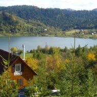
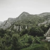
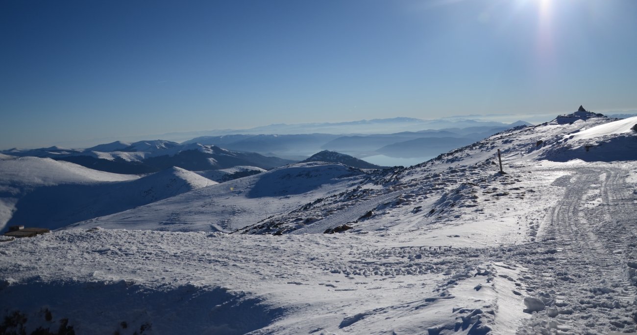
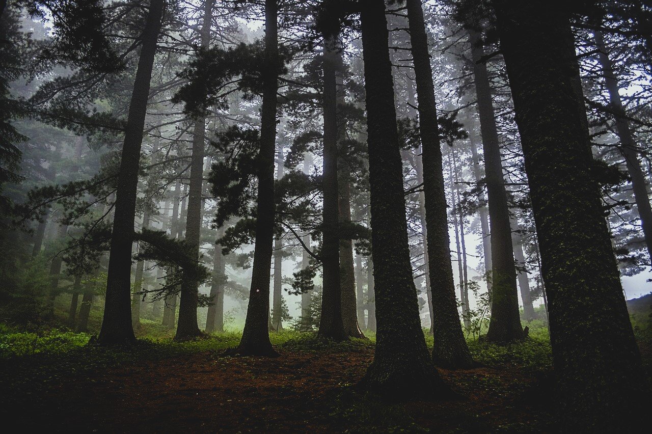
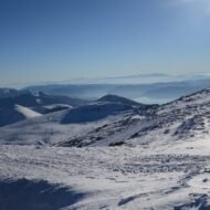
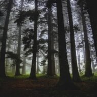
Rising between the city of Bitola and the shores of Lake Prespa, Baba is a long granite massif that climbs to 2,601 metres at the summit of Pelister. On a clear day, the views stretch across three countries: North Macedonia, Greece and Albania. Its upper slopes hold two glacial lakes, known as “Pelister’s Eyes”, and its forests are home to the molika, a rare five-needled pine that survives only in a few mountains of the Balkans.
Most of the mountain lies within Pelister National Park, the oldest national park in North Macedonia. Around it, small villages keep their stone houses, guesthouses and traditions: Vlach shepherd villages, mountain hamlets above Bitola, and quiet orchards on the Prespa side. Yet even in summer, Baba sees only a fraction of the visitors who crowd the Alps or the coast. For hikers, slow travellers and anyone looking for the Balkans beyond the obvious, it is one of the great discoveries of the region.
This page is your starting point. Each section below introduces one side of Baba, with a link to our full guide.
At a glance
| Where | South-western North Macedonia, between Bitola and Lake Prespa, on the border with Greece |
| Highest peak | Pelister, 2,601 m |
| Protected area | Pelister National Park, founded in 1948, about 172 km² |
| Known for | Glacial lakes, molika pine forests, Vlach villages, hiking, skiing |
| Best time | June to October for hiking; January to March for snow |
| Gateway town | Bitola, about 14 km from the park |
Pelister National Park
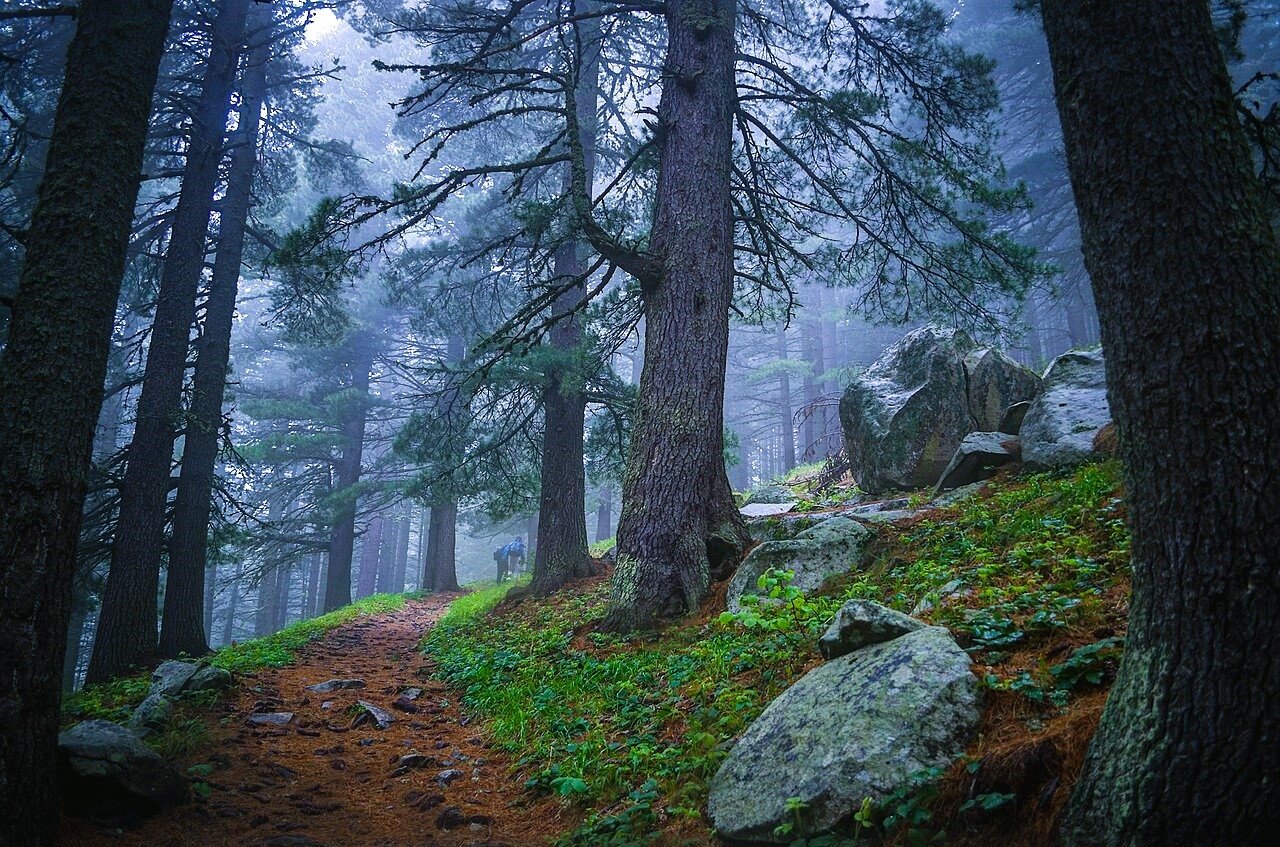
Declared in 1948, Pelister is North Macedonia’s oldest national park, covering about 172 square kilometres of Baba’s slopes, from beech forests at under 1,000 metres to the bare granite summits at over 2,600. Its most famous inhabitant is the molika (Pinus peuce), the Macedonian pine, first described by botanists in 1839. Pelister holds the largest compact stand of these trees in the Balkans, and some are more than 230 years old.
The park is also home to brown bears, wolves, chamois and rare mountain birds, and its streams hold native trout. Trails, mountain huts and forest roads make it accessible, yet large parts of it remain wild and quiet.
Full guide → [Pelister National Park: The Complete Guide]
Pelister’s Eyes: the glacial lakes
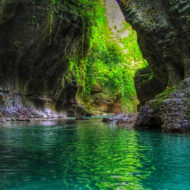
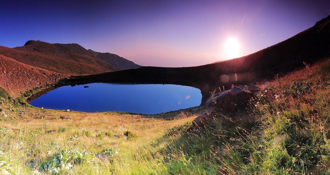
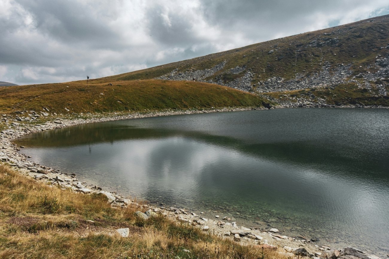
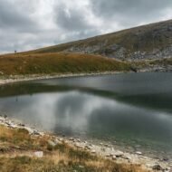
High on the mountain, near the ridge, lie two glacial lakes known as Pelisterski Oči, “Pelister’s Eyes”. The Big Lake (Golemo Ezero), at around 2,218 metres, is about 14 metres deep and lies in a bowl of granite boulders. The Small Lake (Malo Ezero), at around 2,180 metres, sits a little lower, close to the source of the Crvena Reka. Reaching them is one of the classic hikes of the Balkans, through molika forest and across open high pastures.
Full guide → [Pelister’s Eyes: Hiking to the Glacial Lakes of Baba]
The summit of Pelister
At 2,601 metres, Pelister is the highest point of Baba and one of the great viewpoints of the southern Balkans. From the top, the panorama takes in Lake Prespa, the mountains of Greece and Albania, and the plain of Pelagonia far below. The climb is long but not technical, and in summer it can be combined with the lakes in a full day on the mountain.
Full guide → [Climbing Pelister: The Summit of Baba Mountain]
The villages of Baba
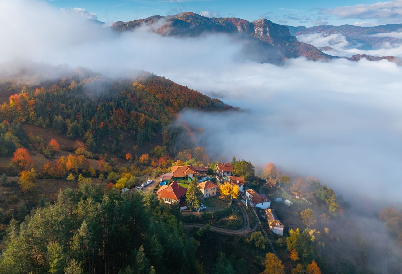
The villages around Baba are as much a reason to come as the mountain itself. Malovište, the only village inside the national park, is a Vlach (Aromanian) village of stone houses and cobbled lanes, once home to wealthy merchant families. Dihovo, above Bitola, has become a centre of rural hospitality, with family guesthouses and home-cooked food. Trnovo and Magarevo are small mountain villages on the old roads into the park, and Nižepole sits at the foot of the ski slopes.
Full guide → [The Villages of Baba: Malovište, Dihovo and the Mountain Hamlets]
The Prespa side: Brajčino and the lake
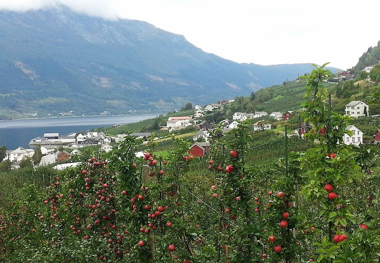
On the western slopes, Baba descends towards Lake Prespa, one of the oldest lakes in Europe, shared by North Macedonia, Greece and Albania. Here the landscape changes: apple orchards, warmer valleys and small villages such as Brajčino, a pioneer of eco-tourism, with walking trails that climb from the village into the national park.
Full guide → [Brajčino and Lake Prespa: Baba’s Quiet Western Side]
Bitola and Heraclea Lyncestis
At the eastern foot of the mountain, Bitola is the natural gateway to Baba: an elegant city of 19th-century consulates, mosques and Orthodox churches, with a long, lively pedestrian street, the Širok Sokak. On its southern edge lie the ruins of Heraclea Lyncestis, an ancient city founded in the 4th century BC, with remarkable early Christian floor mosaics. The ancient Via Egnatia, the Roman road linking the Adriatic with Constantinople, passed this way, through the mountain landscape of today’s national park.
Full guide → [Bitola and Heraclea: The Gateway to Baba Mountain]
Winter on Baba
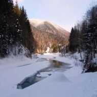
In winter, snow covers the upper slopes from December to March. The small ski area above Nižepole is simple and uncrowded, and the mountain is popular for snowshoeing and ski touring. The villages, with their wood stoves and slow winter cooking, are at their most atmospheric.
Full guide → [Baba in Winter: Skiing and Snowshoeing on Pelister]
When to go
- June to October: the hiking season. July and August are best for the high lakes; September and October bring autumn colour in the beech forests.
- December to March: snow, skiing and winter village stays.
- Spring: wildflowers in the lower valleys and orchards in blossom on the Prespa side; the high trails can stay snowy until June.
Getting there
- From Greece: Bitola is about 45 minutes by car from Florina, across the Niki–Medžitlija border crossing, making Baba one of the easiest mountain escapes from northern Greece.
- From Ohrid: about 1 hour 15 minutes by car; Ohrid has an international airport.
- From Skopje: about 2 hours 30 minutes by car or bus to Bitola.
From Bitola, the villages and park entrances are 15 to 30 minutes away. A car is the easiest way to explore.
Beyond the map
Baba is a mountain that rewards those who take their time: a morning walk through the molika forest, a cold swim in a glacial lake, an evening in a Vlach village with homemade cheese and wine. It sits at the meeting point of three countries and many cultures, and it is still largely undiscovered. Come before the rest of Europe finds it.
Go deeper: the Baba Mountain Premium Guide
[Baba Mountain & Pelister — The Beyond the Map Premium Field Guide]
Everything this page can only introduce, in one complete guide:
- Pelister National Park in depth: the forests, wildlife and the molika pine
- The best hikes, including Pelister’s Eyes and the summit, with maps, distances, timings and difficulty
- Mountain huts and where to sleep on the mountain
- The villages: Malovište, Dihovo, Brajčino and more, with the best guesthouses and family kitchens
- Bitola and Heraclea: a walking guide to the gateway city
- Seasonal planning: summer hiking, autumn colour, winter skiing and snowshoeing
- A five-day itinerary from Bitola around the mountain to Lake Prespa
- Cross-border tips for travellers coming from Greece
- Offline maps and GPS points for every trail, village and viewpoint
→ [Download the Premium Guide]
Explore more: Wild Europe · Terra Incognita · Field Guides